BOU AVENUE
Sweet Grass Hills:  Mount Brown And West Butte
With a rainy forecast throughout the mountains on 23 April 2016, I decided to take the opportunity to visit Montana's Sweet Grass Hills located just south of the Canada-US border.  This collection of volcanic remnants is comprised of three distinct buttes.  East Butte appears to be the most complex of the three and is made up of numerous peaks, the highest being Mount Brown.  Middle Butte is the lowest of the three but sports probably the most striking peak in the area--Gold Butte.  Finally, West Butte lays claim to the highest point in the Sweet Grass Hills.  For hikers like myself, route descriptions for Mount Brown and West Butte can be found on summitpost.org while a cursory route description for Gold Butte can be found in this excellent overview of the area.  My original plan was to try and tag the high point of all three buttes in a long day, but that was already in doubt when I left Calgary later than I had intended.  Regardless, I made Mount Brown my top priority since its trailhead is probably the most remote of the three buttes to access.  Using a combination of the description from summitpost.org and a driving route I mapped out with Garmin's MapSource software, I reached the trailhead for Mount Brown without any complications.  The roads here are generally in good shape and accessible to even 2WD vehicles in dry conditions although high clearance is highly recommended.

From the trailhead, I passed through a gate and followed a double-track up successive grassy ridges leading to Mount Brown's broad north ridge.  As I climbed higher, the grass was eventually replaced by rubble, but travel was still easy.  I followed numerous game trails criss-crossing up the rubble slope before encountering more trees and snow as I approached the summit.  The summit of Mount Brown is disappointingly covered with trees, but a clearing not far to the southwest grants respectable views of Mount Royal, the next highest peak in the East Butte complex, as well as distant views of Gold Butte and West Butte.  I briefly considered traversing to Mount Royal which is topped by numerous telecommunications structures, but with time running short, I felt it would be more worthwhile to visit Gold Butte instead.  I promptly retraced my steps back to the trailhead without incident and began driving westward to my next objective.
The crux is probably figuring out how to open the gate! 
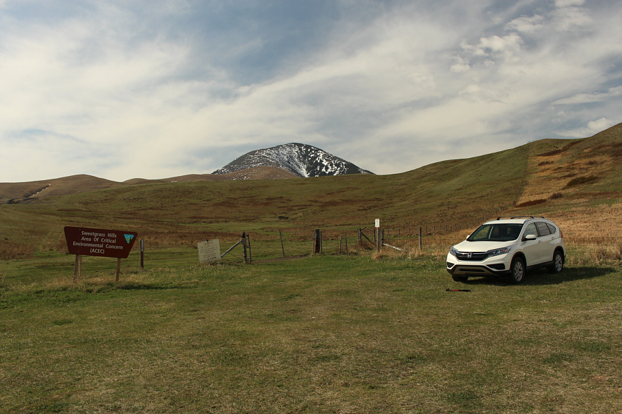
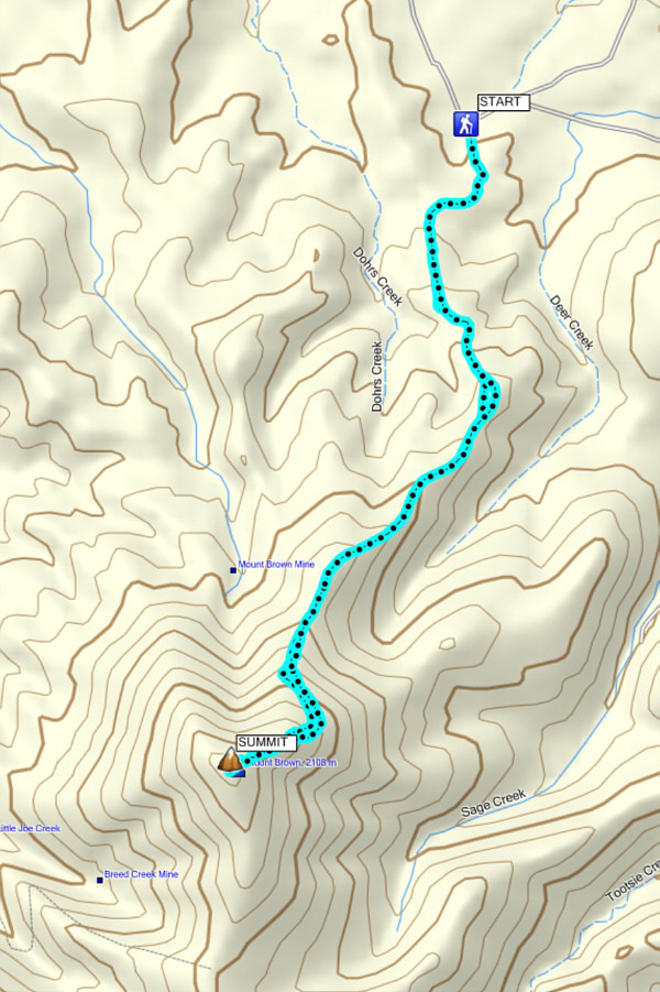
Most of the route up Mount Brown is visible from the trailhead.
Maybe I should have brought a mountain bike... 
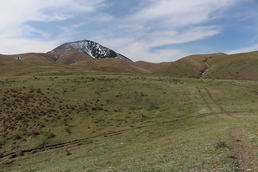
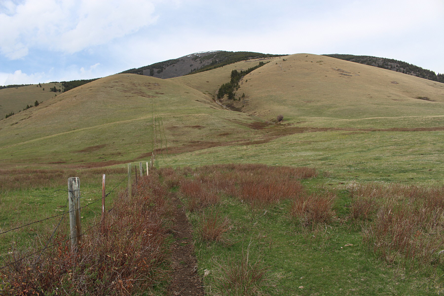
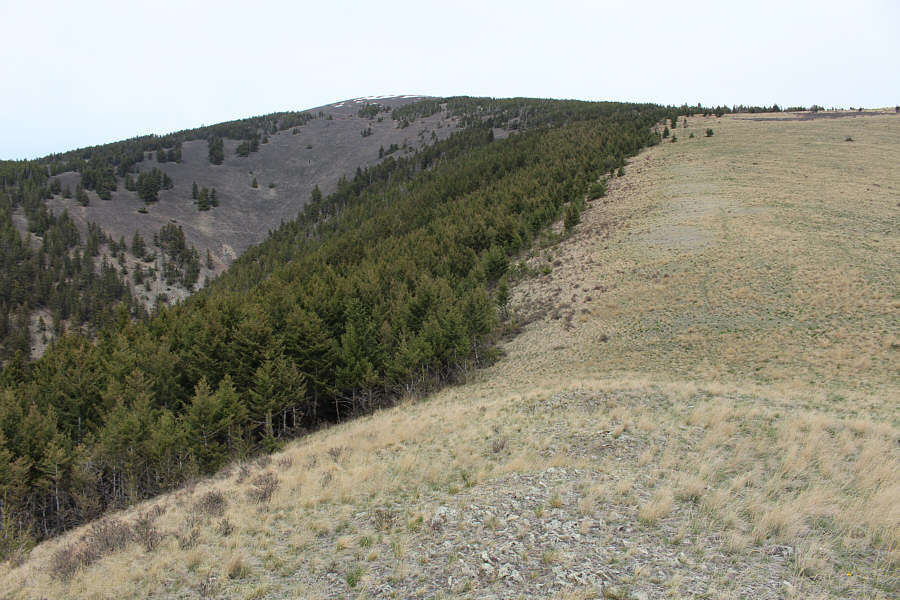
The double-track eventually heads left and ascends the ridges at far left.
Maybe I should have brought skis too! Snow continues to cling tenaciously to the north face of Mount Brown.
I'll get to one of those later... 
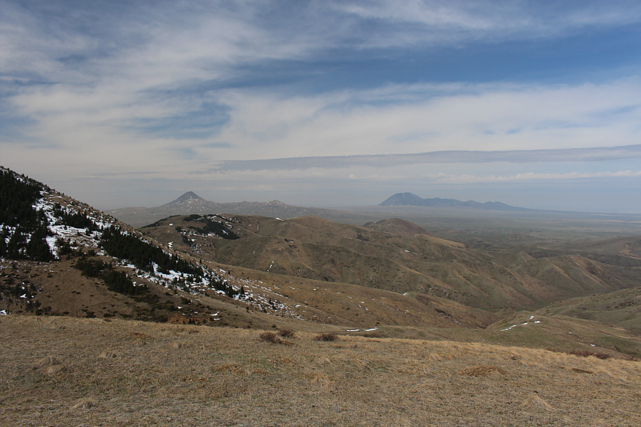
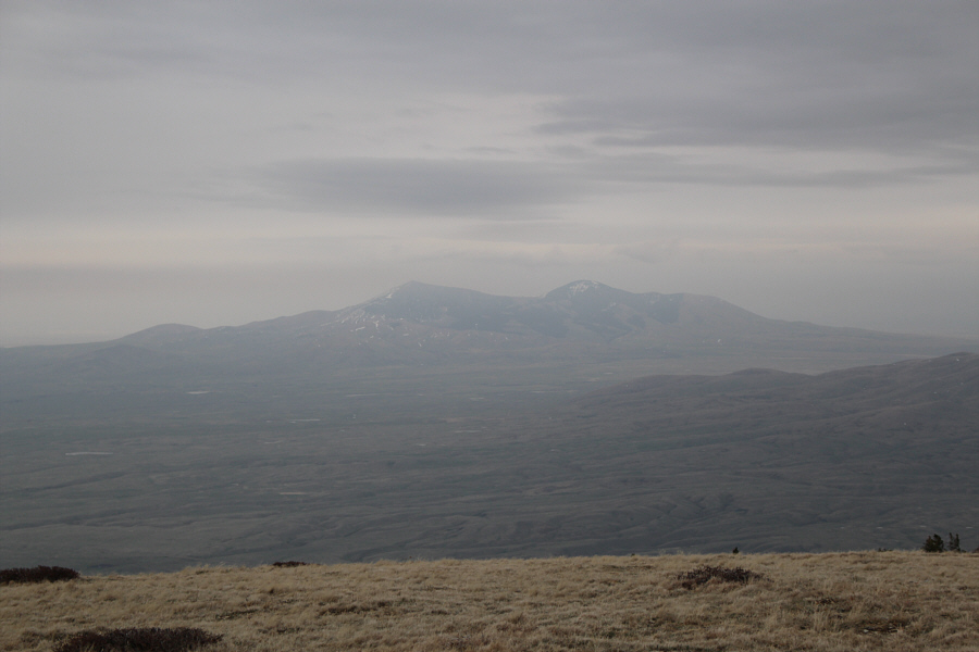
Gold Butte (left) and West Butte appear on the horizon to the west.
I'm kinda curious how these East Butte peaks got their bizarre names... 
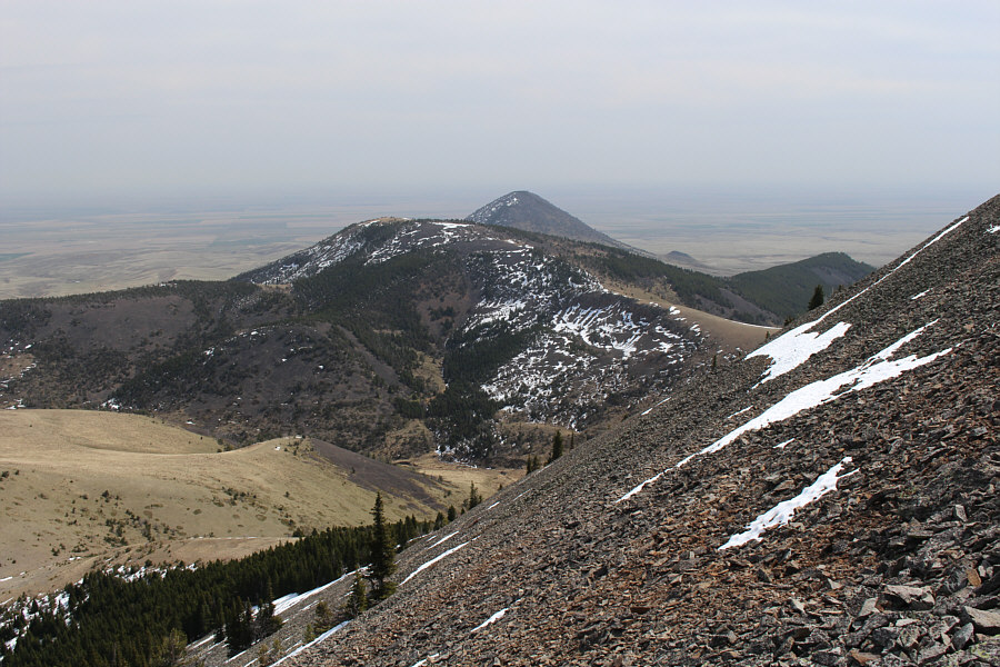
Mount Lebanon sticks up above an intervening ridge to the east.
That snow is still deep and best to be avoided! 
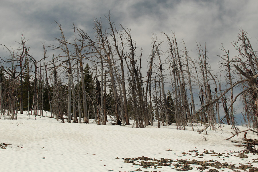
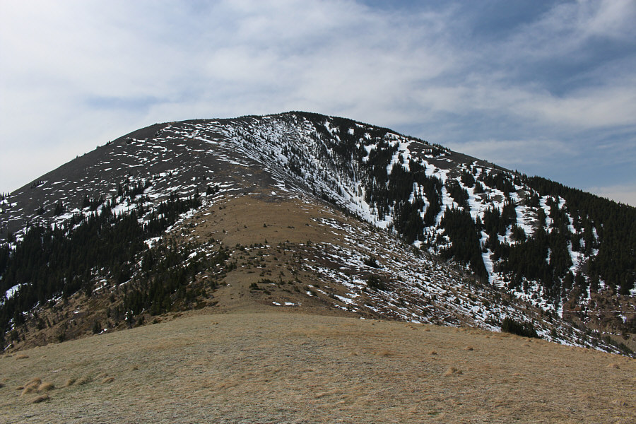
Trees are oddly more numerous near the summit of Mount Brown than on the lower slopes.
Rivals the summit views of Exshaw Mountain! Sonny stands on the summit of Mount Brown (2111 metres).
I will come back in the future to visit all the telecommunication structures on this peak! 
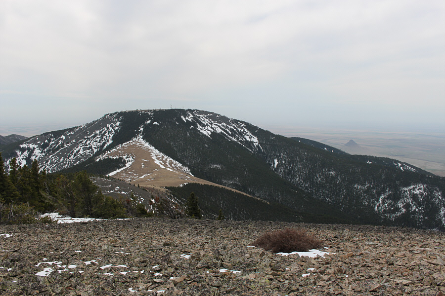
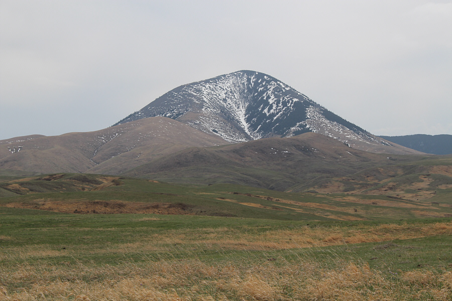
An open slope southwest of the summit grants this view of Mount Royal.  The cone just peeking above the ridge at right is Haystack Butte.

Gold Butte is definitely the most striking peak of all the Sweetgrass Hills.

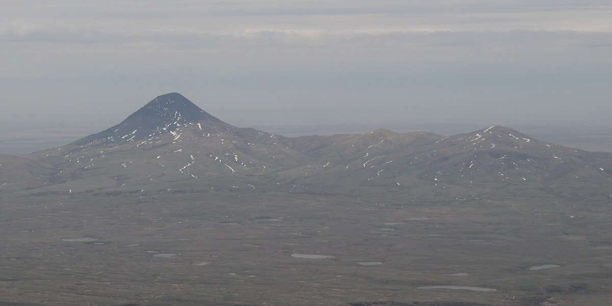
Here is a closer look at Gold Butte (left) and Middle Butte (low bump just right of centre).  The bump at far right is unnamed.


At this point, I wasn't even sure I would be climbing West Butte on this day... 
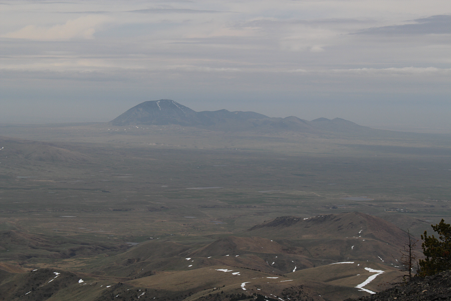
West Butte is about 30 kilometres away to the west.
There were actually even more elk than pictured here. 
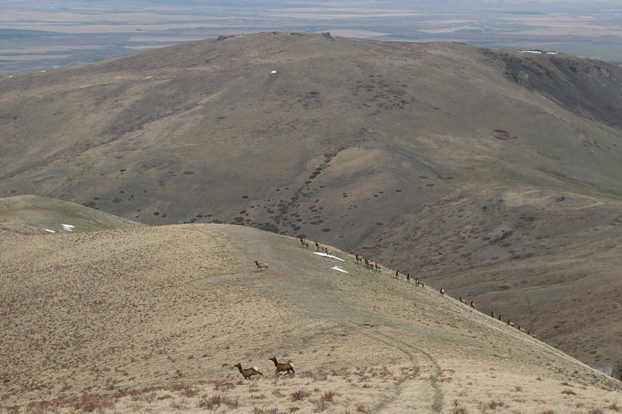
A large herd of elk graze along the route up Mount Brown.  The hill in the background is Black Jack Butte.
A perennial favourite! The prairie crocus flower consists of string-like pistils surrounded by yellow stamens and lavender sepals.
It's not so brown from this angle. 
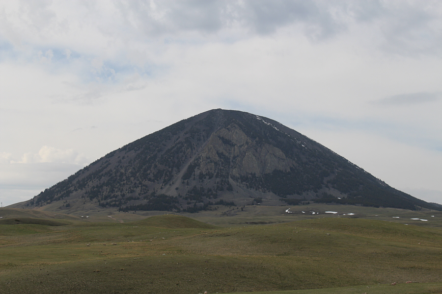
Here is a more comprehensive view of Mount Brown from the north.
I'm on my way to Gold Butte...or so I thought! 
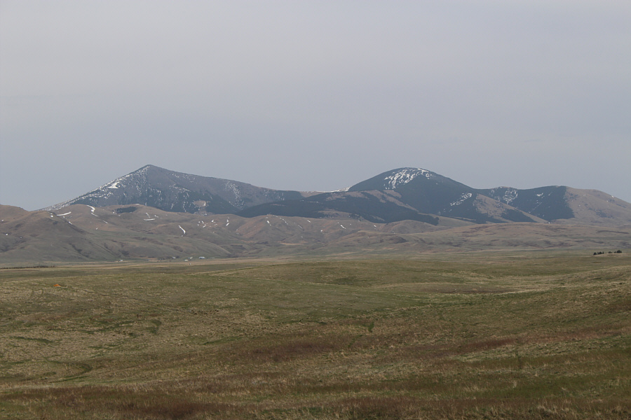
The two tallest peaks of the East Butte complex are Mount Brown (left) and Mount Royal.
Nice hike, but the summit is a bit disappointing. Total Distance:  10.3 kilometres
Round-Trip Time:  4 hours 14 minutes
Net Elevation Gain:  775 metres

GPX Data

Somewhere along my drive toward Gold Butte, I missed a critical junction and found myself driving toward West Butte instead.  Given the lateness of the day, I did not have time to backtrack and figure out where I went wrong.  Thus, I eventually ended up at the unsigned trailhead for West Butte (north of the junction between 9 Mile Road and Coal Mine Road and easily accessed from I-15 by driving east from the town of Sunburst).  The route up West Butte's southwest ridge is uncomplicated but also unrelentingly steep.  A long grunt up grassy slopes is followed by an interminable grind up a myriad of trails on rubble not unlike that on Mount Brown.  The broad summit with expansive views deserves a lengthy stay, but a chilly wind and incoming rain prompted me get moving again after my requisite summit chores.  Because of the numerous trails on the upper mountain, I descended a route that was slightly different than that of my ascent, but I ultimately regained my up-track and had no other issues returning to the trailhead.

Despite the long drive and a rainy ending to my first visit to the Sweet Grass Hills, there is still much for me to explore in this enchanting area, and I am certain that I will return in the not-too-distant future.
Looks like some serious cliffs... The east face of West Butte is surprisingly rugged.
The fence ends halfway up the near hill...why bother putting it up in the first place?! A fence line points the way up West Butte's southwest ridge.
There's a whole lotta nothing out there! 
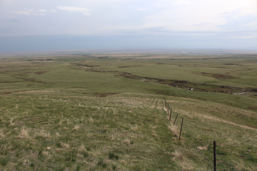
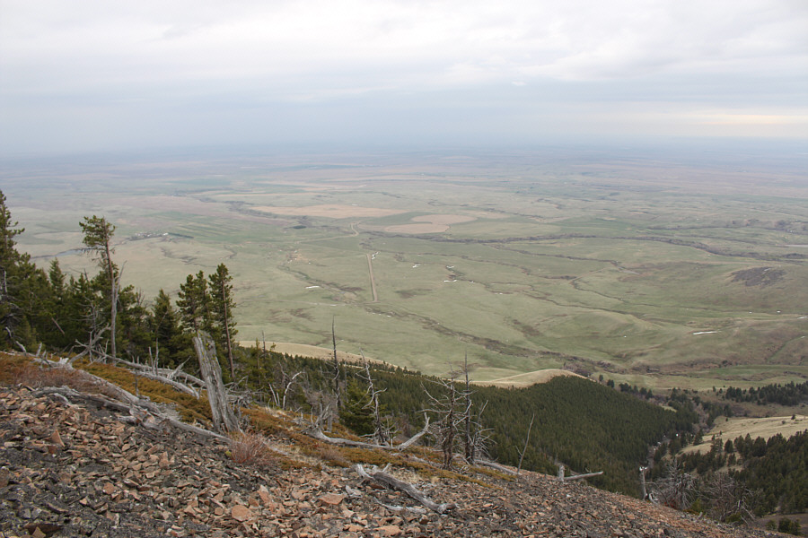
This is looking back down the fence line at the flat landscape to the south.
Ugh. The route follows the edge of the trees before heading left up the rubble slope.
No worries; they all lead to the same place as long as you keep going uphill! 
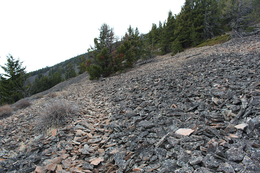
This is one of many beaten game trails criss-crossing the rubble slope.
Can you spot my car? The normal access road (9 Mile Road) for West Butte is visible left of centre.

 Gold Butte will have to wait for another day...

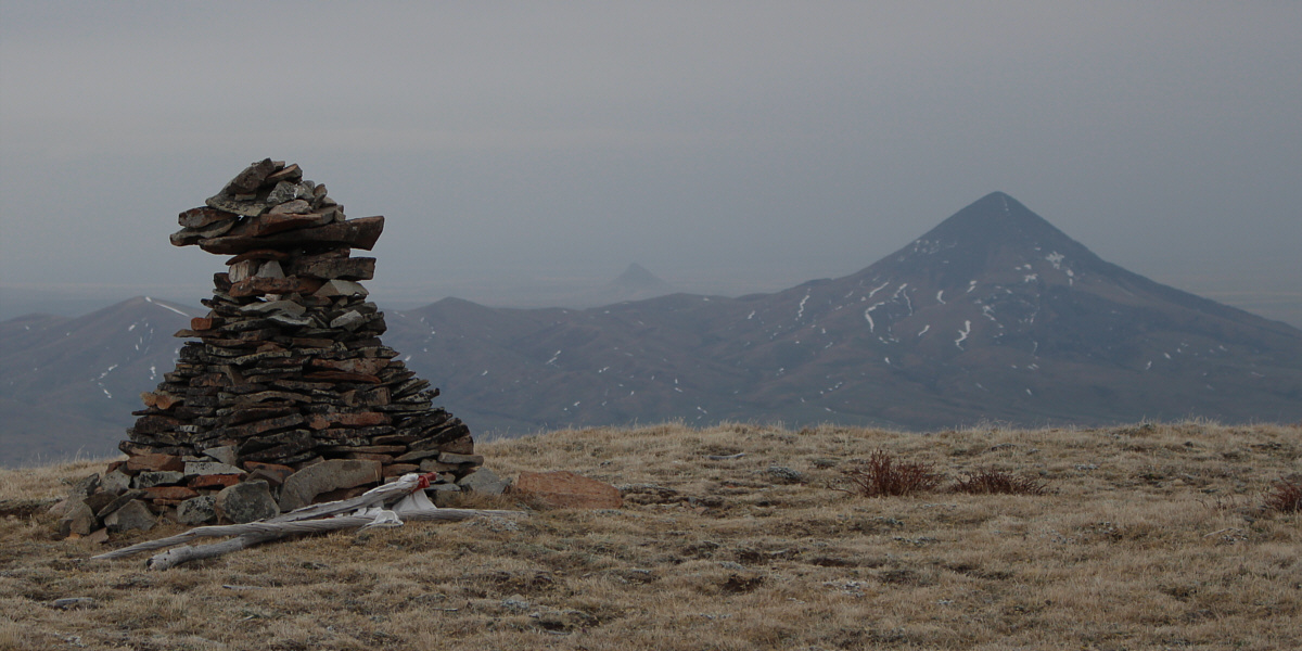
West Butte's summit cairn resembles Gold Butte (right) and Haystack Butte (distant centre).


According to the register, someone else was up here earlier in the day. Sonny stands atop West Butte (2127 metres), the highest point of the Sweet Grass Hills.
I was standing on the summit of Mount Brown about 5 hours ago. With incoming rain, Mount Brown and Mount Royal are barely visible to the east.

 Not a true alpenglow (the sun hasn't set yet), but it's good enough for me!

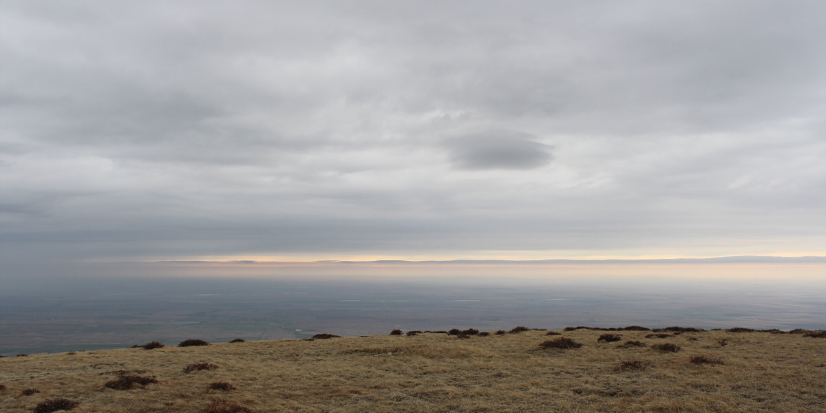
As rain clouds move into the area, the last bit of sunlight for the day makes the western horizon glow.


West Butte itself is hardly worth the 5-hour drive from Calgary, especially when it's raining! Total Distance:  5.5 kilometres
Round-Trip Time:  3 hours 18 minutes
Net Elevation Gain:  744 metres

GPX Data