Photo courtesy of Zosia Zgolak
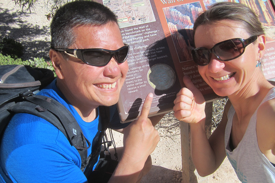
Photo courtesy of Zosia Zgolak
|
|
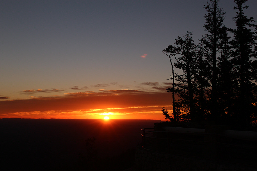
The sun rises in this view from Rainbow Point. |
|
|
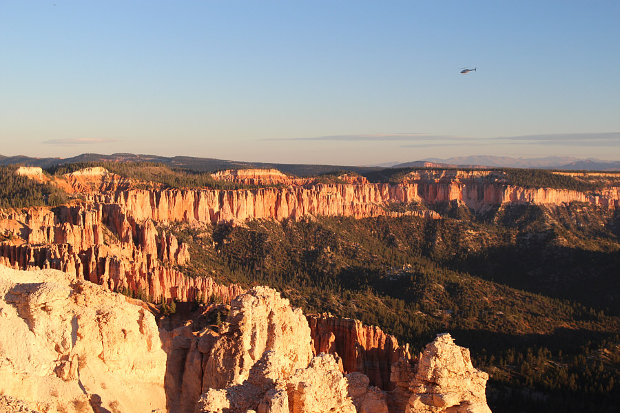
A helicopter flies above Bryce Canyon National Park. |
|
|
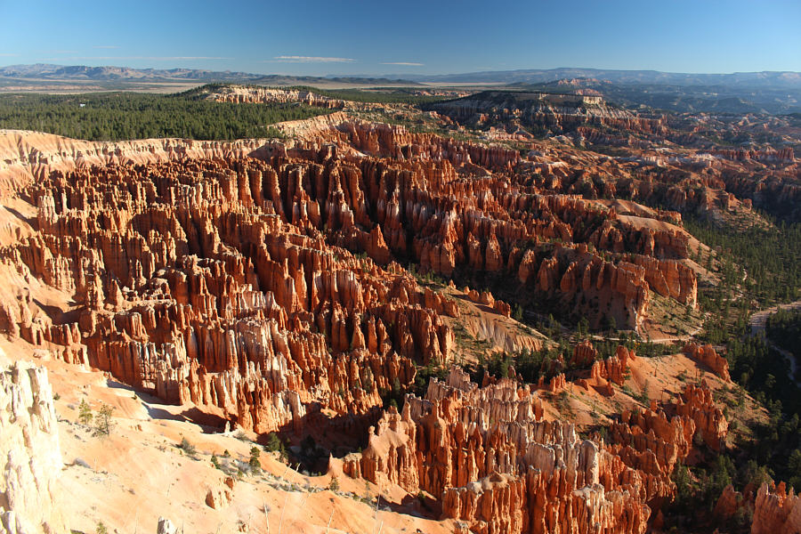
This is the view of Bryce Amphitheater from Bryce Point. |
|
|
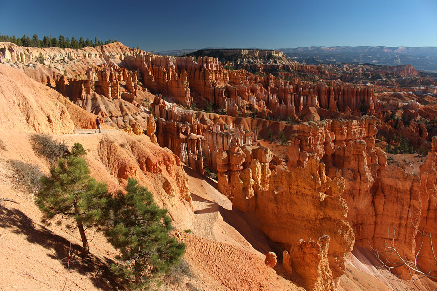
Zosia descends Navajo Trail above Bryce Amphitheater. |
|
|
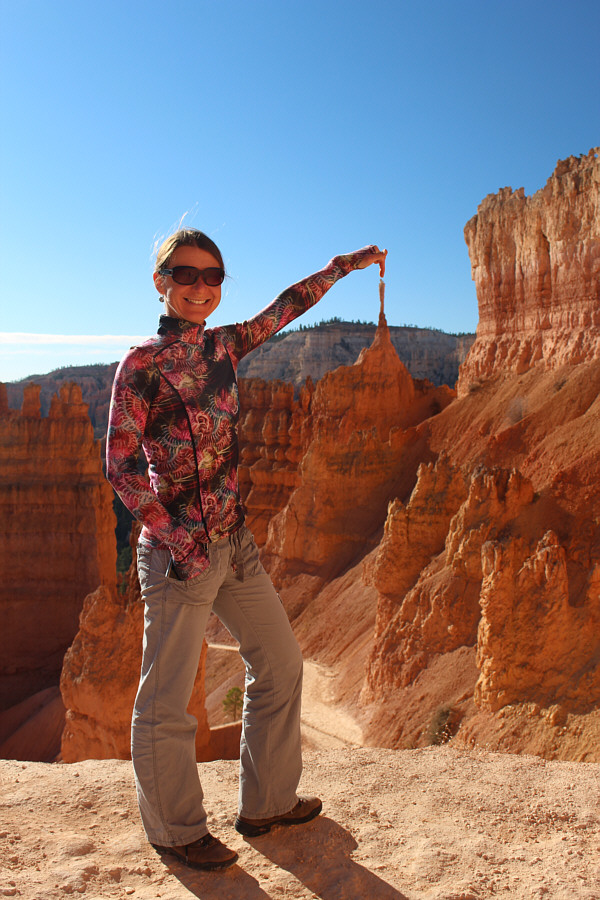
Apache Needle is a good hoodoo to poke fun at. |
|
|
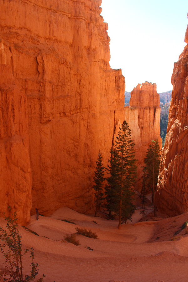
The shorter arm of Navajo Loop grants a more direct route into Bryce Amphitheater via these switchbacks. |
|
|
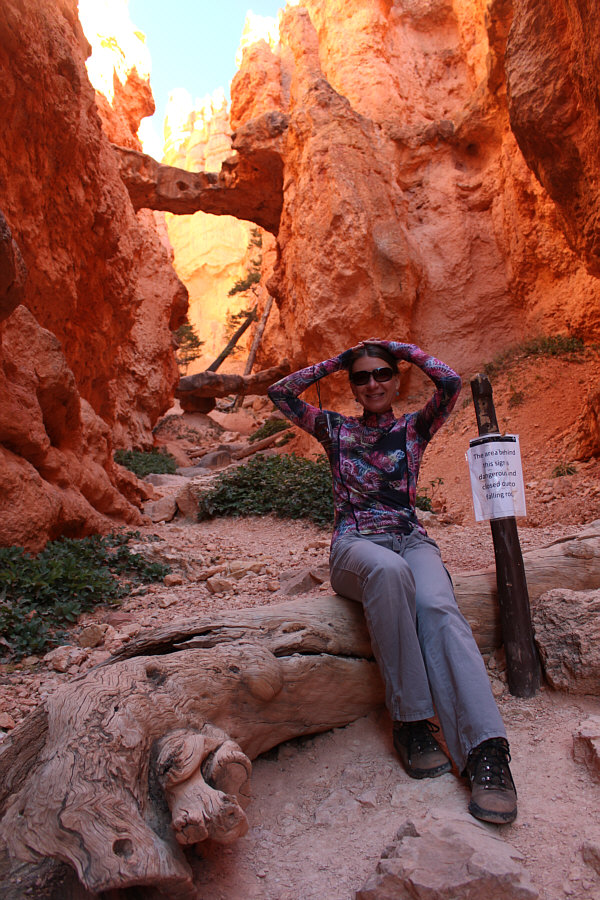
Zosia shields her head from potential falling rocks below Two Bridges. |
|
|
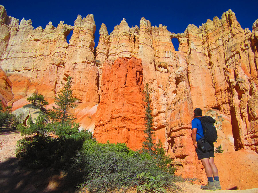
Sonny looks up at the impressive Wall
of Windows. Photo courtesy of Zosia Zgolak |
|
|
Several benchmarks are located
throughout Bryce Amphitheater. Anyone who presents proof (eg. a
selfie) of visiting at least three of the benchmarks can get a
special reward at the visitor centre. Photo courtesy of Zosia Zgolak |
|
|
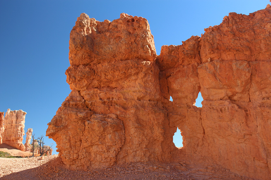
The holes in this wall resemble a face. |
|
|
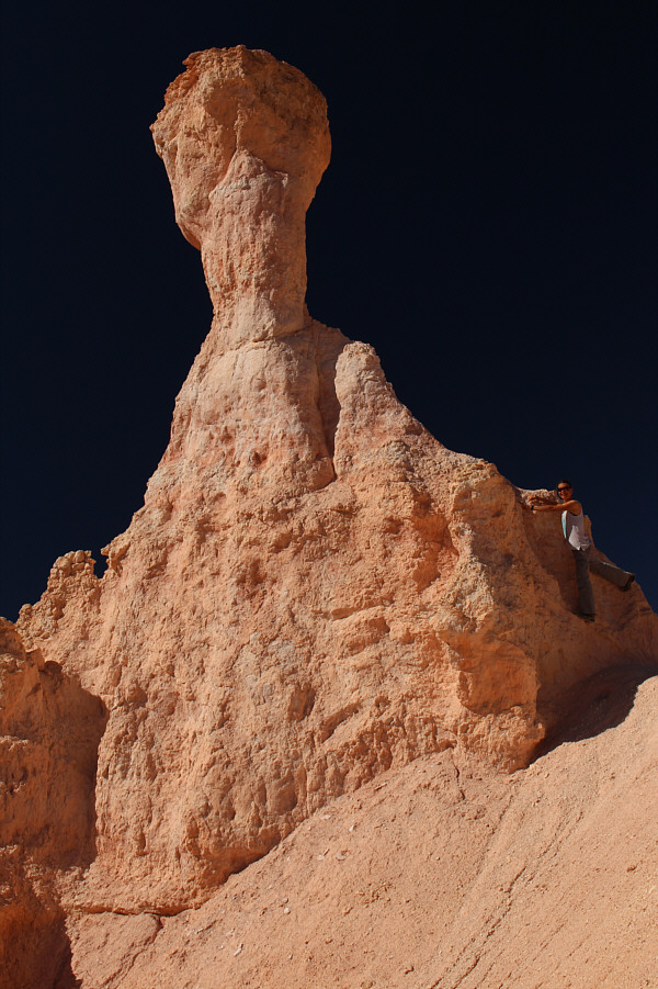
Zosia mimics Queen Victoria. |
|
|
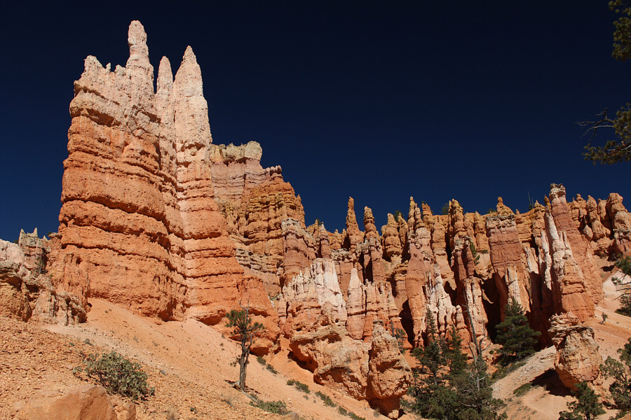
These are some of the hoodoos near Queens Garden. |
|
|
Sonny stands between a couple of hoodoos. |
|
|
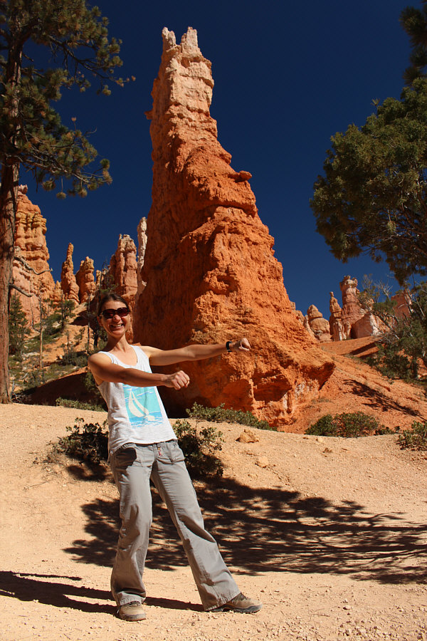
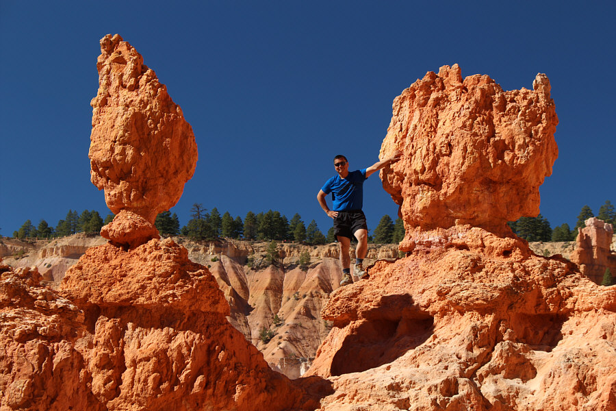
Zosia tries to climb up a big knob. |
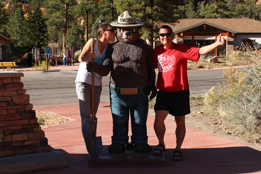 |
Smokey the Bear stands guard in front of Red Canyon's visitor centre. |
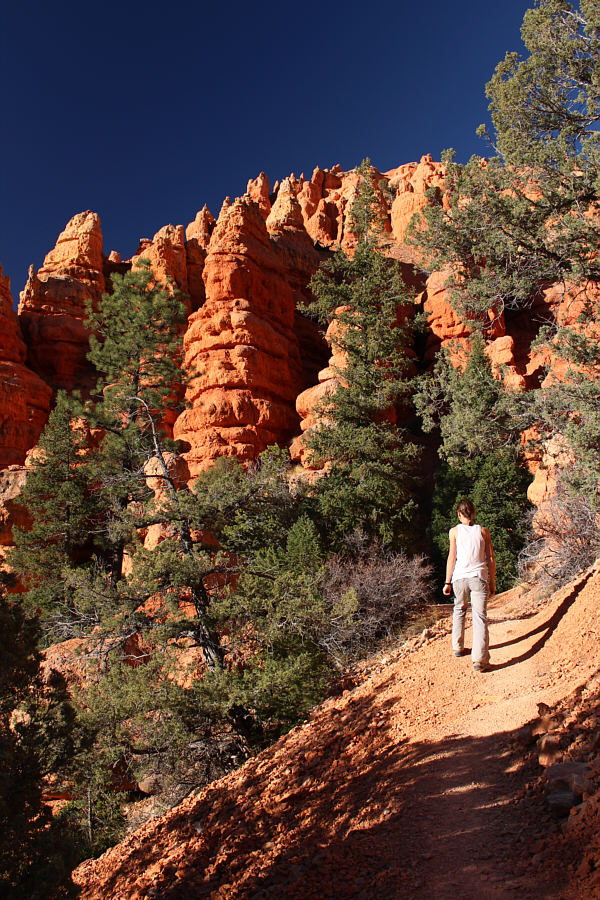 |
Zosia hikes the Pink Ledges Trail. |