Photo courtesy of Zosia Zgolak

Photo courtesy of Zosia Zgolak
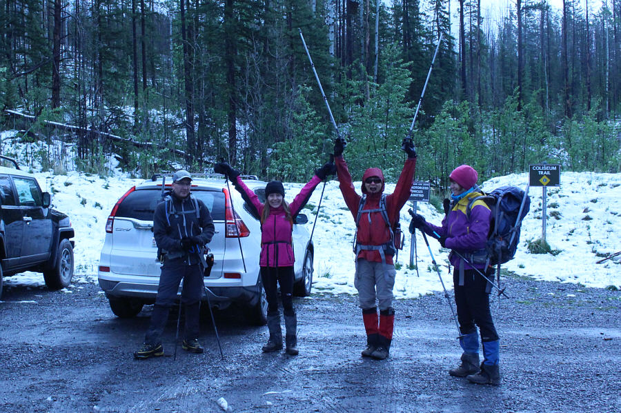

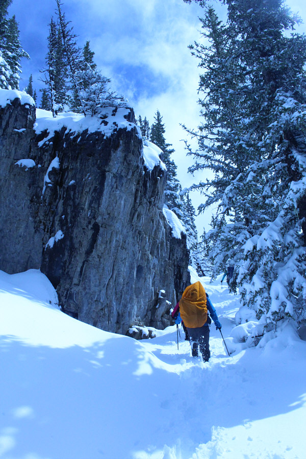
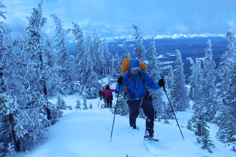


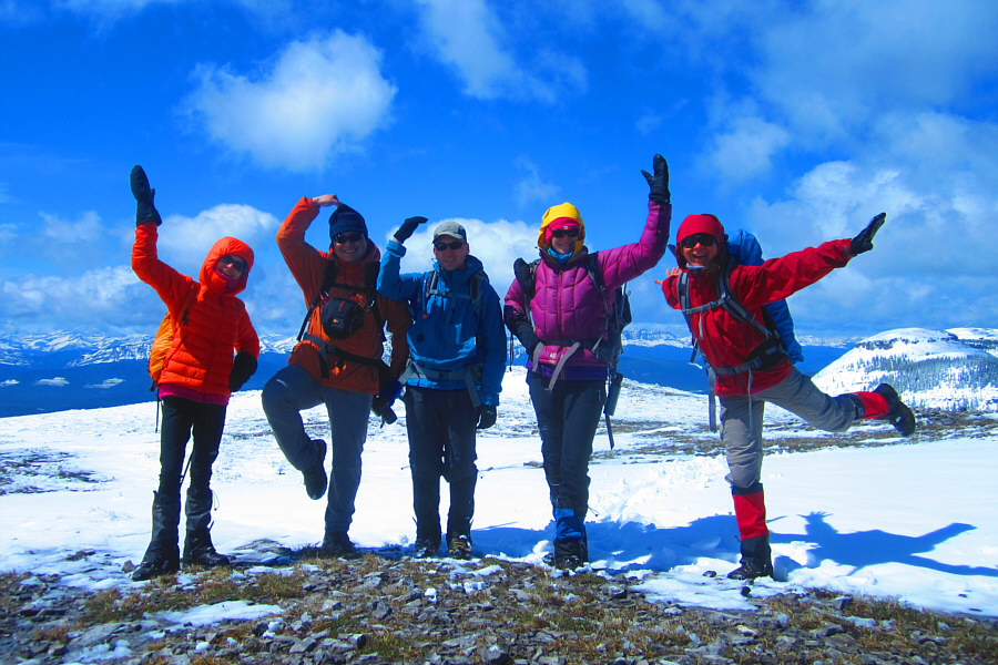
Photo courtesy of Zosia Zgolak
|
|
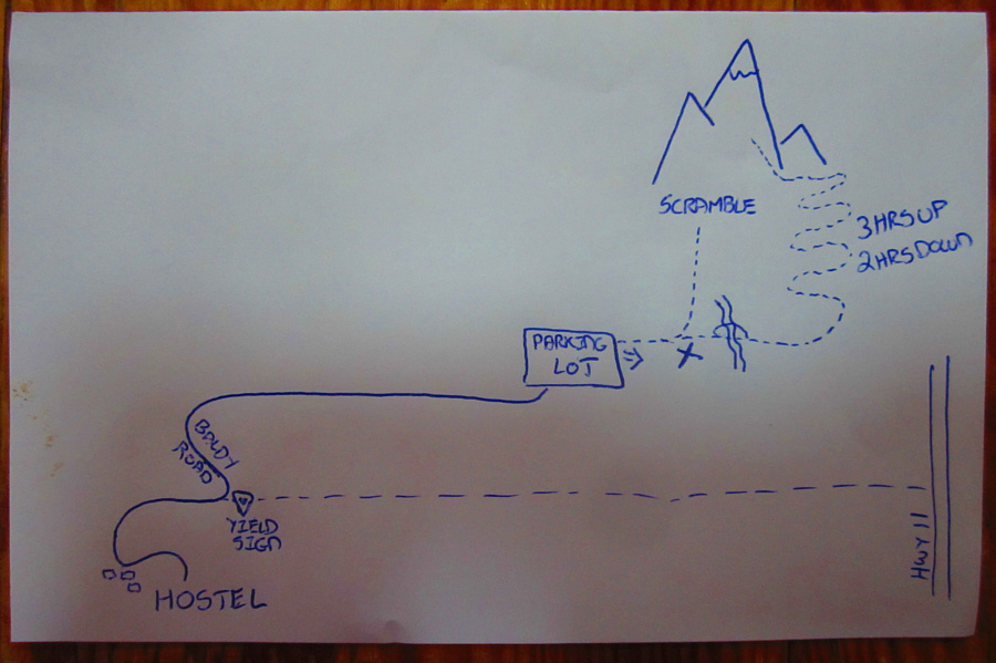
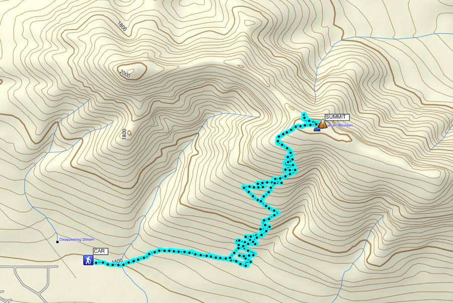
Here is Zosia's high resolution map of
the approach to Coliseum Mountain. Photo courtesy of Zosia Zgolak |
|
|
Shunda Creek Hostel is one of the more
luxurious of its kind. Photo courtesy of Zosia Zgolak |
|
|
Jamshaid, Leslie, Zosia and Marta get pumped up for the hike. |
|
|
There is a lot of fresh snow on the trail. |
|
|
A short cliff breaks up the monotony of the forested trail. |
|
|
The trees begin to thin out as Jamshaid and the rest climb upward. |
|
|
Zosia approaches the east summit of Coliseum Mountain. |
|
|
Sonny stands on the east summit of Coliseum Mountain (2015 metres). The higher west summit is obscured by clouds behind him. |
|
|
After taking a quick break at the start of the connecting ridge to the west summit, the group decides to head back to the east summit. |
|
|
The group scrambles up a cliff band guarding the east summit plateau. |
|
|
Returning to pose on the east summit
are Leslie, Sonny, Jamshaid, Marta and Zosia. Photo courtesy of Zosia Zgolak |
|
|
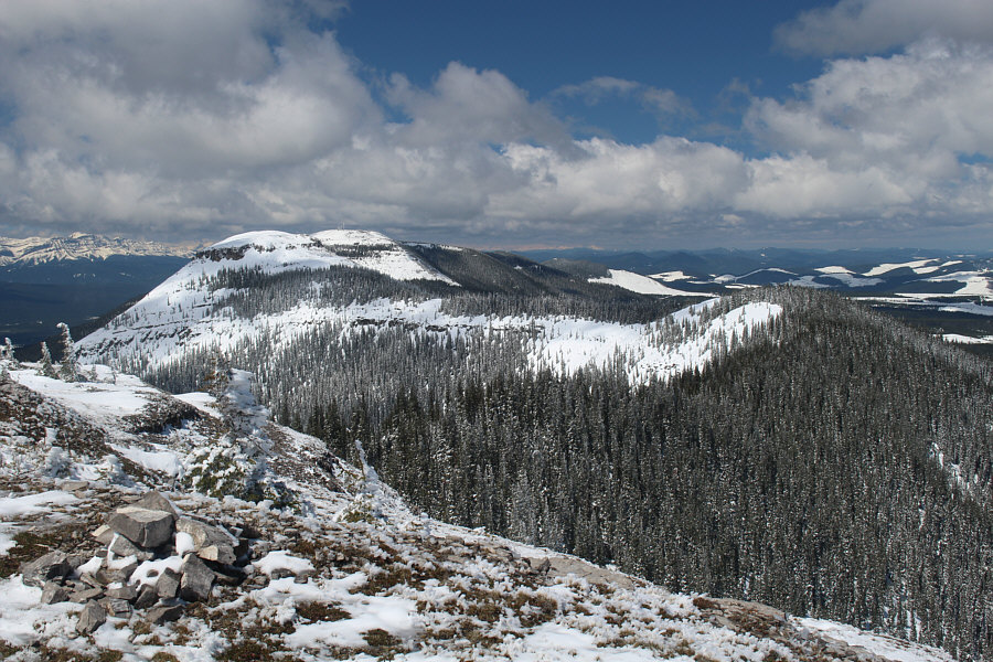
The clouds clear to reveal the connecting ridge and the west (true) summit of Coliseum Mountain. Also visible behind the west summit is Shunda Mountain. |
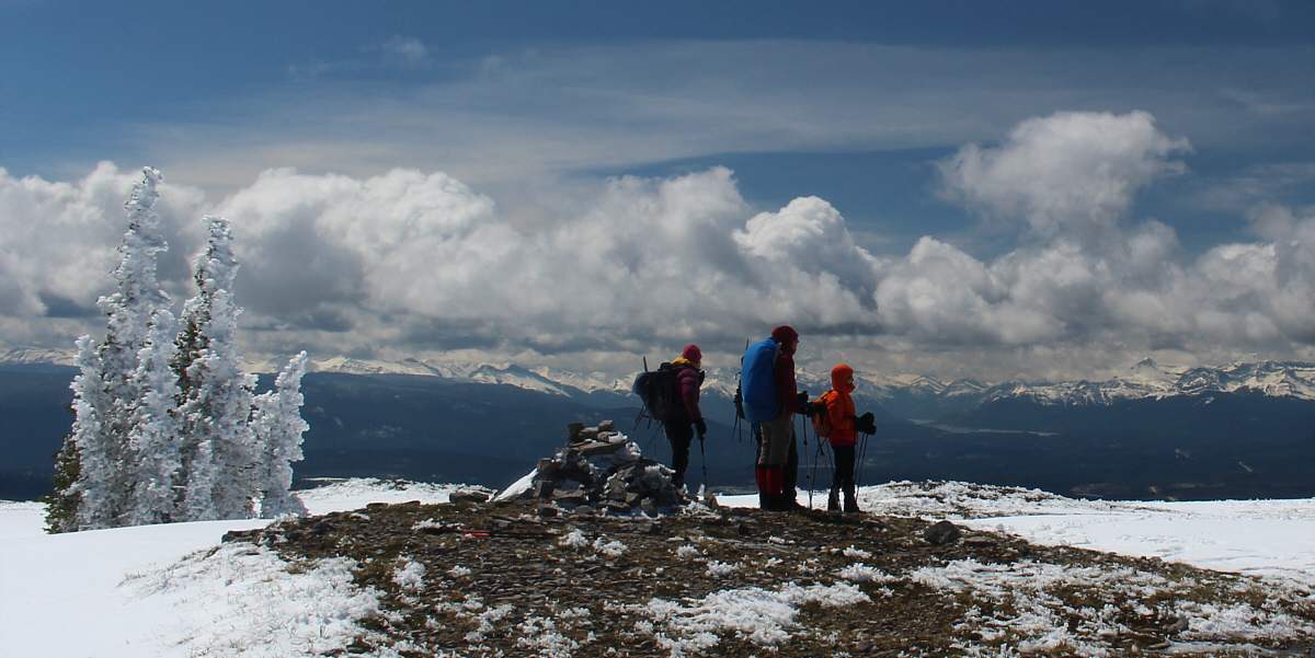
The group takes a last look at the panoramic views before leaving the east summit. Visible in the distance at right is Abraham Lake.
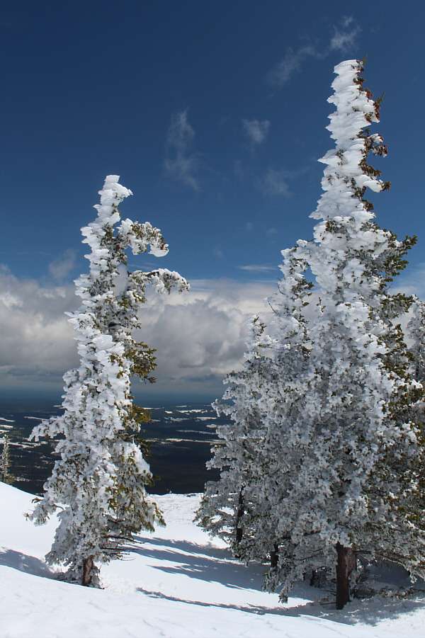 |
Fresh snow is plastered on these trees near the east summit. |
 |
Total
Distance: 10.1 kilometres Round-Trip Time: 5 hours 2 minutes Net Elevation Gain: 638 metres |