BOU AVENUE
Gunnery Mountain
I was admittedly a bit unenthusiastic when
Zosia Zgolak invited me to join her and others for a double ascent of
Mount Mann and Gunnery Mountain in the Highwood region of Alberta's
Kananaskis Country on 24 April 2016. I had already previously
traversed Gunnery
Mountain, and the weather forecast did not look promising.
Still, knowing that I would not be returning to the mountains for another
two weeks because of work, I decided to suck it up and brave the elements
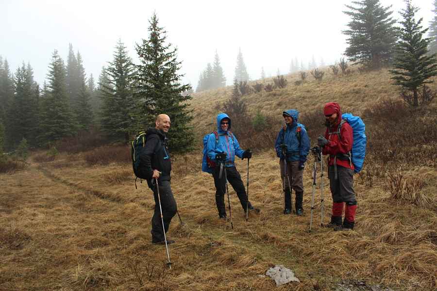
with Zosia, Eva B., John Bence, and Stephane
Champoussin. Right off the bat, we had to forego Mount Mann as the
swollen Highwood River looked too risky to ford. Instead, we
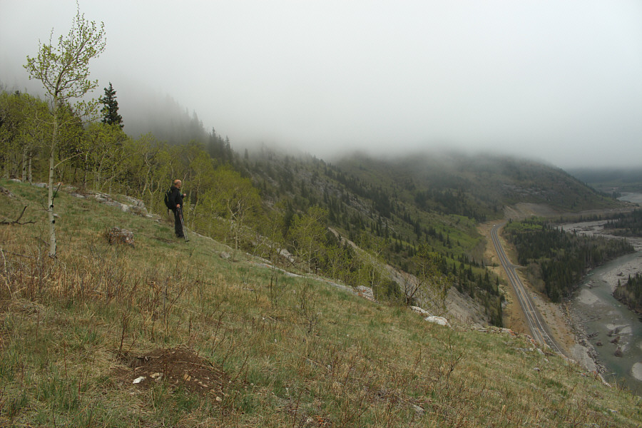
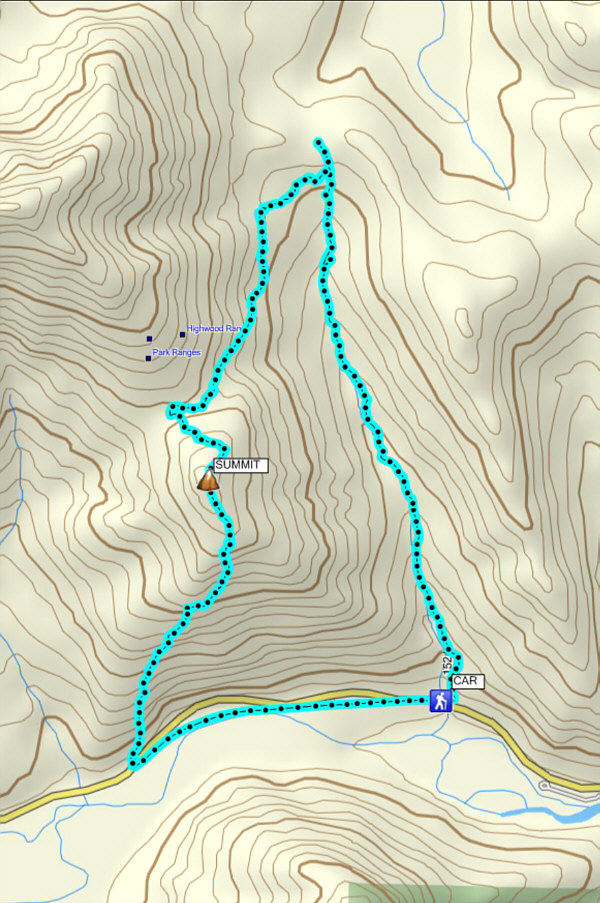
started hiking up the trail along Gunnery Creek under a light rain.
All of us had been so preoccupied with trying to ford the Highwood River
that we had neglected to consider the route up Gunnery Mountain which is
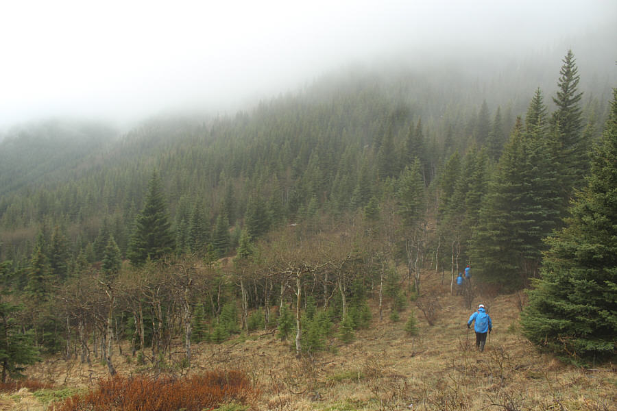
not nearly as straightforward as I remembered. We ended up hiking
all the way to Gunnery Pass without seeing any obvious trail leading to
the notch separating Gunnery Mountain from Holy Cross Mountain. The
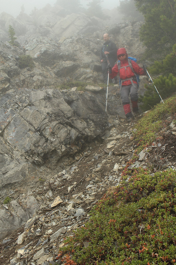
low clouds also complicated matters by making it difficult to see where
we were supposed to be heading. Backtracking a little from Gunnery
Pass, we headed into the bush and tried to follow game trails up the
slope. I became separated from the others at one point, and while
they continued to climb upward, I stayed low and traversed southward. I eventually stumbled onto a flagged trail which
looked very promising, and I shouted a few times to try and get
everyone else's attention. Getting no response, I hiked up to the
notch and waited for the others to show up.
Eva, John, Stephane and Zosia eventually
arrived at the notch albeit via a more arduous route than the one I had
taken. Together, we hiked up the north slope of Gunnery Mountain
before taking a short break at a false summit. From there, we
continued up to the true summit and stopped just long enough to take a
group photo near the summit cairn. On my previous trip up Gunnery
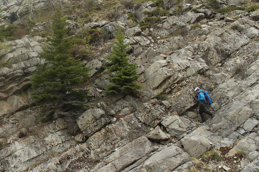
Mountain, I had descended the southeast ridge directly to the highway
without too much trouble under clear conditions. Cloud cover made
route-finding a little trickier on this day as we found ourselves
descending increasingly steep and loose terrain on the south face.
Worried about getting cliffed out, we worked our way onto the crest of
the southwest ridge where we were relieved to find easier terrain.
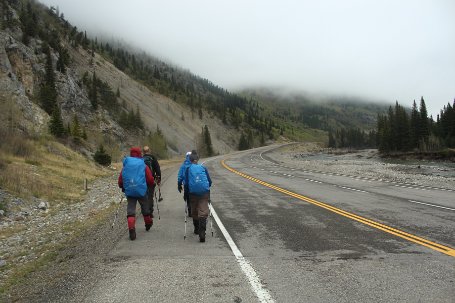
We had no further route-finding issues and eventually reached the highway
about a kilometre west of the Gunnery Creek trailhead.
Given the lousy weather and questionable
route-finding, this was hardly a stellar outing by any stretch of the
imagination. As always though, good company makes even the worst
days in the mountains enjoyable. Everyone remained in good spirits
throughout this trip despite all the challenges, and that counts for a
lot.