BOU AVENUE
Gypsum Ridge
Unofficially-named Gypsum Ridge is a deservedly popular ski or snowshoe objective located on the northwest shore of Lower Kananaskis Lake in Alberta's Peter Lougheed Provincial Park.  After an aborted attempt six weeks earlier, I was back on 7 February 2016 to finish the ascent.  Joining me on this day were Mitch Lane, Verena Murphy and Andy Pearson.  The day got off to an inauspicious start when I got my car stuck in some deep snow at the pullout where we parked.  Luckily, I had three able bodies to help me push my car out.  After that brief warm-up, we donned our snowshoes and followed old tracks down to Smith-Dorrien Creek.  Despite being covered with fresh snow, the old tracks were easy to follow, and we climbed quickly up through the trees on the other side of the creek.  We eventually gained the skiers' tracks along an old road which zig-zags up the north side of Gypsum Ridge.  On my previous attempt, the party I was in had eschewed using the road and headed straight up the slope to the ridge crest.  This time around, Mitch, Verena, Andy and I were not too proud to simply follow the ski tracks along the road which allowed for a more gentle ascent at the expense of some extra distance.  In fact, we followed the ski tracks uninterrupted and without any loss of elevation all the way to the high point of Gypsum Ridge.  Because the actual high point is partially covered with trees, we wandered over to a lower knob at the east end which affords a much better panorama.  Although clouds rolled in to somewhat spoil the views, the calm conditions and mild temperatures made our 30-minute stay at the top quite pleasant.  For our return trip, we retraced our steps exactly without any trouble or hassles.

After returning to my car, we drove down the road to Peninsula day use area to enjoy an après-raquettes!  Although the day use area was gated, we easily walked to one of the picnic tables near the lakeshore.  Verena and Andy had brought some snacks and refreshments while Mitch had brought a portable grill and some Spolumbo's sausages.  Andy had the great idea to grab the ice scraper from my car to help clear off the snow-covered picnic table.  Once we got settled, it turned out to be a wonderful place for a picnic.  Mitch cooked up the sausages to perfection, and we all had our fill of delicious food and fantastic mountain scenery.  This was truly the highlight of the day.

Thanks go out to my marvelous companions for their generosity in providing food and refreshments, for their great company, and for helping to get my car unstuck!
If you don't feel comfortable going down this section, don't bother continuing! 
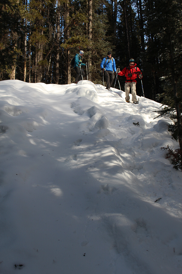
The group descends a steep section just before reaching Smith-Dorrien Creek.
Looks like the creek is starting to thaw out... 
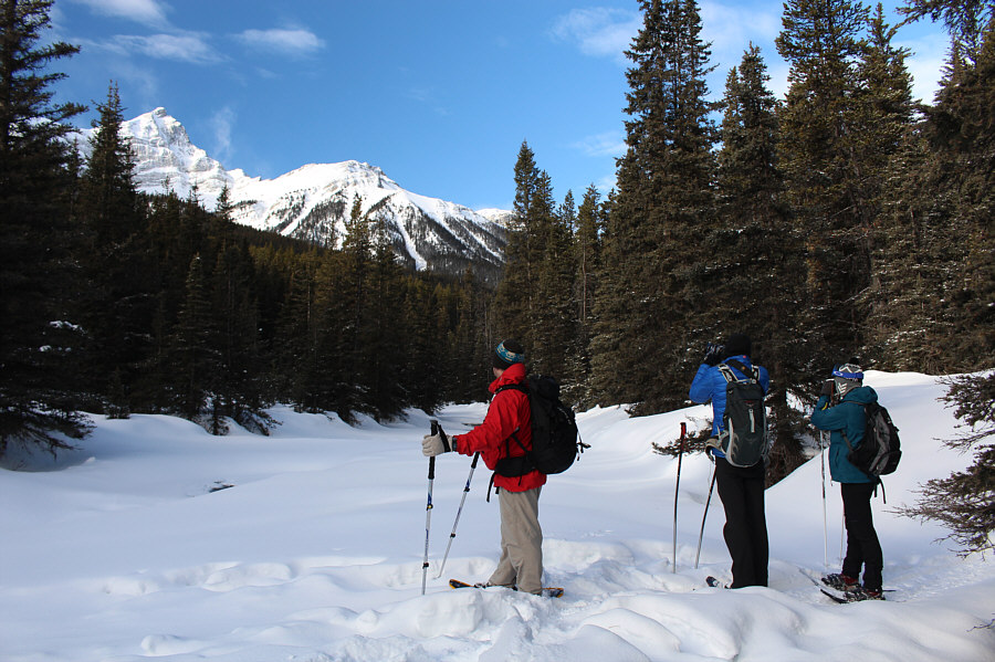
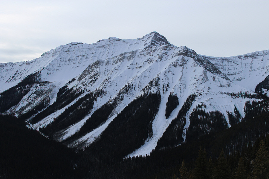
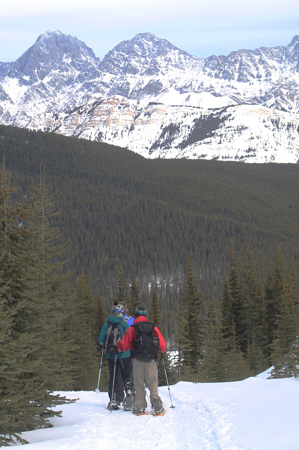
The group stops to admire the view of Mount Warspite before crossing Smith-Dorrien Creek.
Yep, we're walking in ski tracks, so sue us!! 
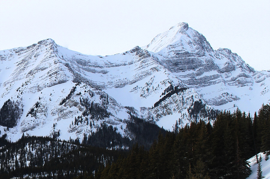
Here is a more comprehensive view of Mount Warspite and its adjoining ridges from near the hairpin turn in the road.
At least we're staying out of the ski tracks now! 
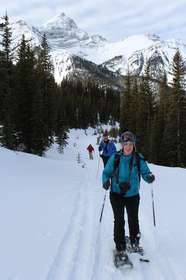
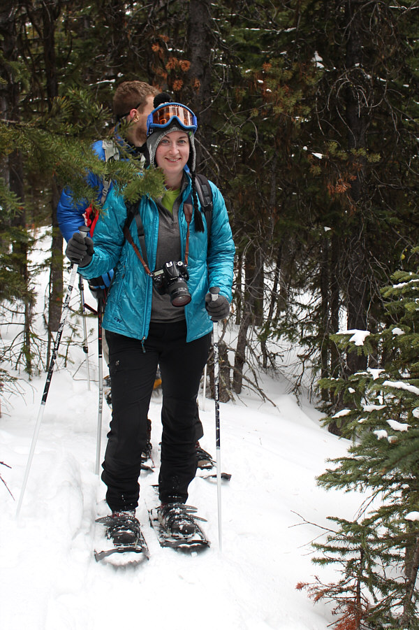
Verena seems to be enjoying the outing as Andy and Mitch follow behind her.
Looking good, Verena! 
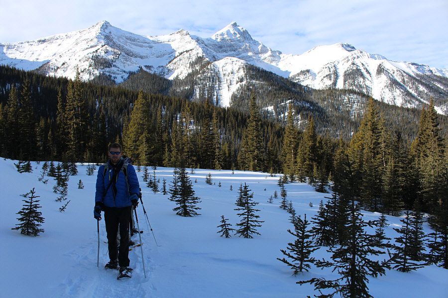
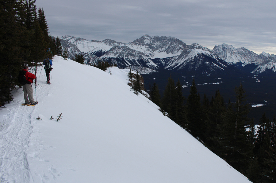
Verena leads the group along the forested crest of Gypsum Ridge.
Of course, the clouds roll in just as we get to the top!! :-( Near the high point of the ridge, the views begin to open up.
Mind the cornice! Verena and Andy descend from the high point of the ridge while Mitch hangs back to take a photograph of them.
That sounds kinda dirty... 
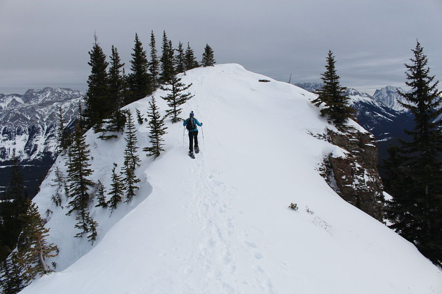
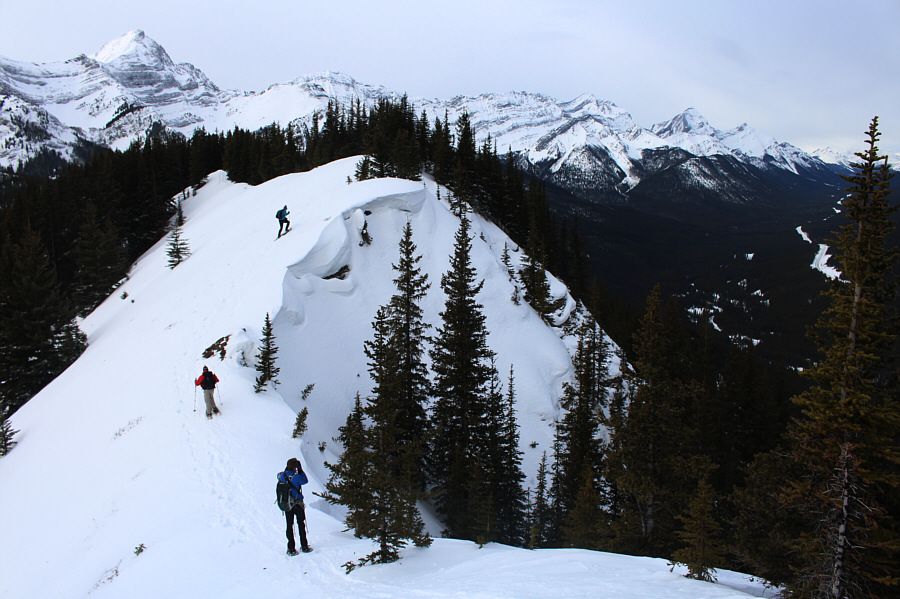
Verena climbs up the penultimate knob along the ridge.

We were trying to spell Y-M-C-A, but obviously that didn't happen!

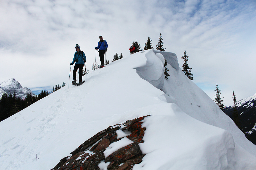
Sonny, Verena, Mitch and Andy stand on the eastern high point of Gypsum Ridge.


A couple of cool-looking guys! 
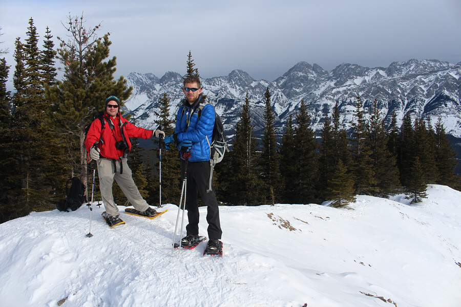
The Opal Range can be seen to the east behind Mitch and Andy.
Neither are scrambles, sadly. 
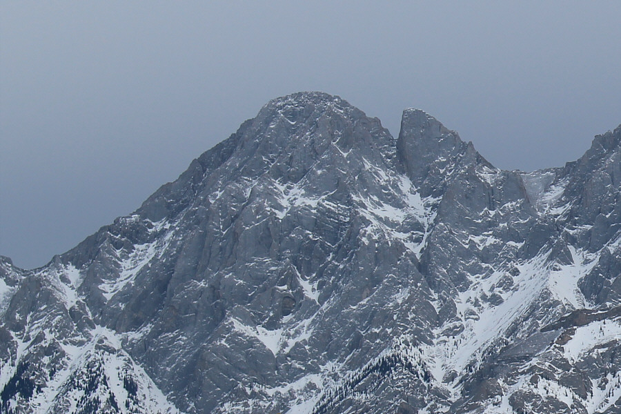
Here is a closer look at Mount Blane and the Blade.

 Meh...lakes just don't look as nice when they're snow-covered!

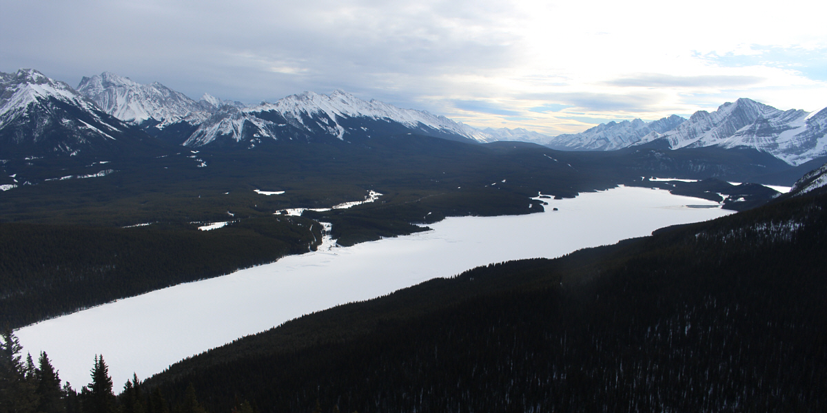
Lower Kananaskis Lake garners the most attention to the south.


Can you spot the Turret? Parts of Upper Kananaskis Lake can be seen beyond Lower Kananaskis Lake.  Mount Fox is the most prominent peak at right.
Not an easy mountain to access. Mount Invincible sits to the southwest.
A great scramble, especially if combined with Mount Invincible! 
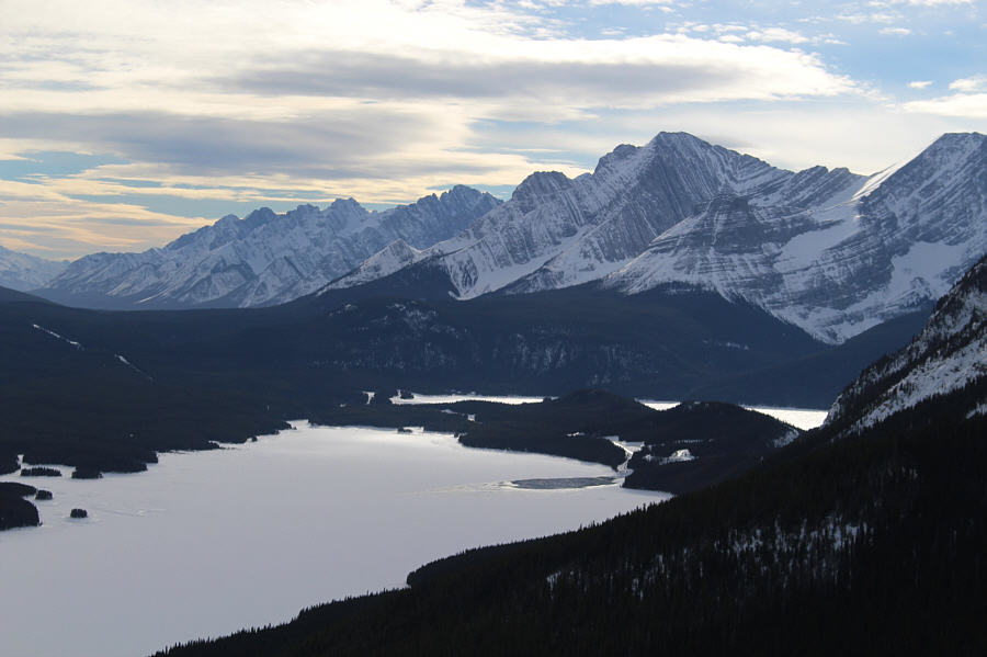
Mount Warspite remains the most striking peak to the west.
Sadly, it's NOT all downhill from here! The group returns to the high point of Gypsum Ridge (2111 metres).
Woof! 
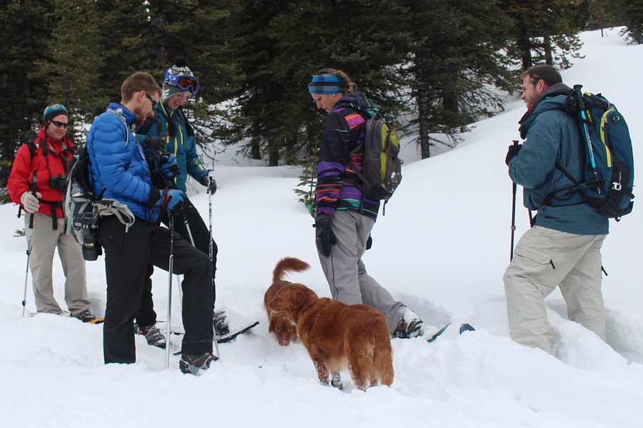
The group runs into a snowshoeing couple with two adorable dogs.
No short cuts today--back it out nice and easy! Mount Packenham and Mount Hood dominate the distant skyline as the group marches down the road.
"Genuflect, show some respect, down one one knee!" 
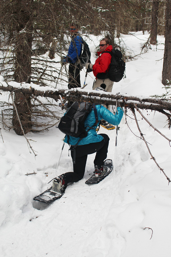
Verena crawls under some deadfall not far from the trailhead.
And Verena is sucking back water! 
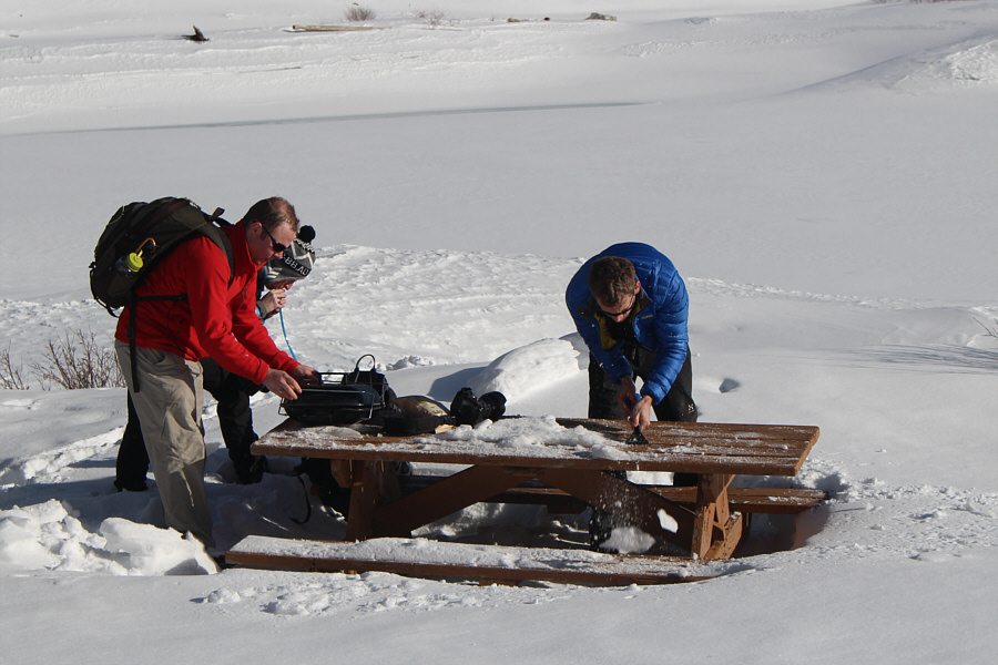
At Peninsula day use area, Mitch sets up his portable grill while Andy uses an ice scraper to clear the picnic table of crusty snow.

 All we need are a deck of cards!

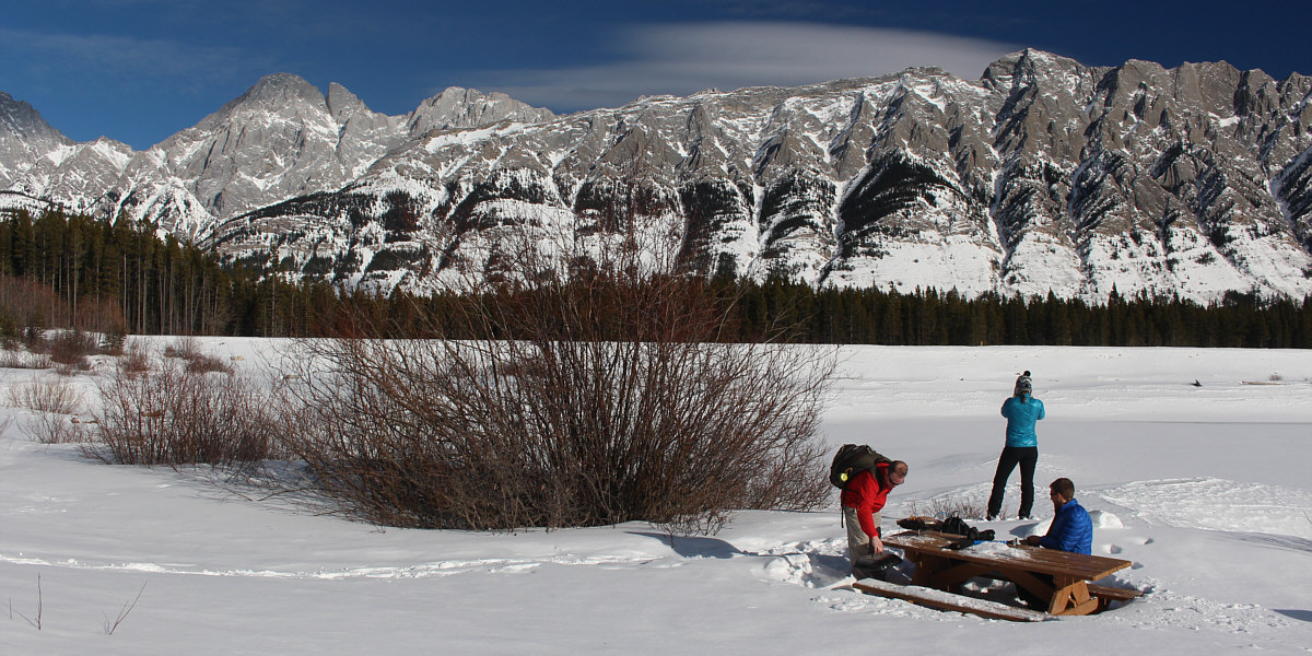
Peninsula day use area is a wonderful place for a picnic on this day.  Mount Blane and the Blade are visible at left while Mount Wintour fills much of the view to the east.


Yep, that's a beer in Mitch's hand! 
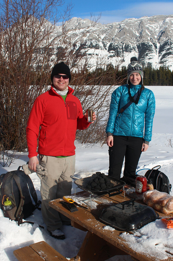
Mitch and Verena are all smiles in the sunshine.
Proof of global warming, according to Leonardo DiCaprio! 
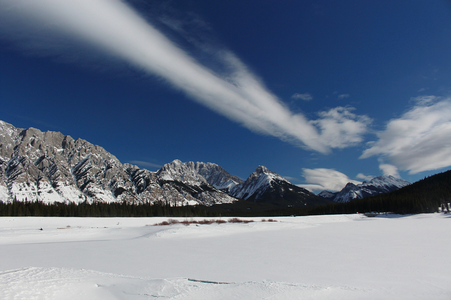
A Chinook-like arch stretches across the sky over Lower Kananaskis Lake.
Mmmm...carcinogenic meats... 
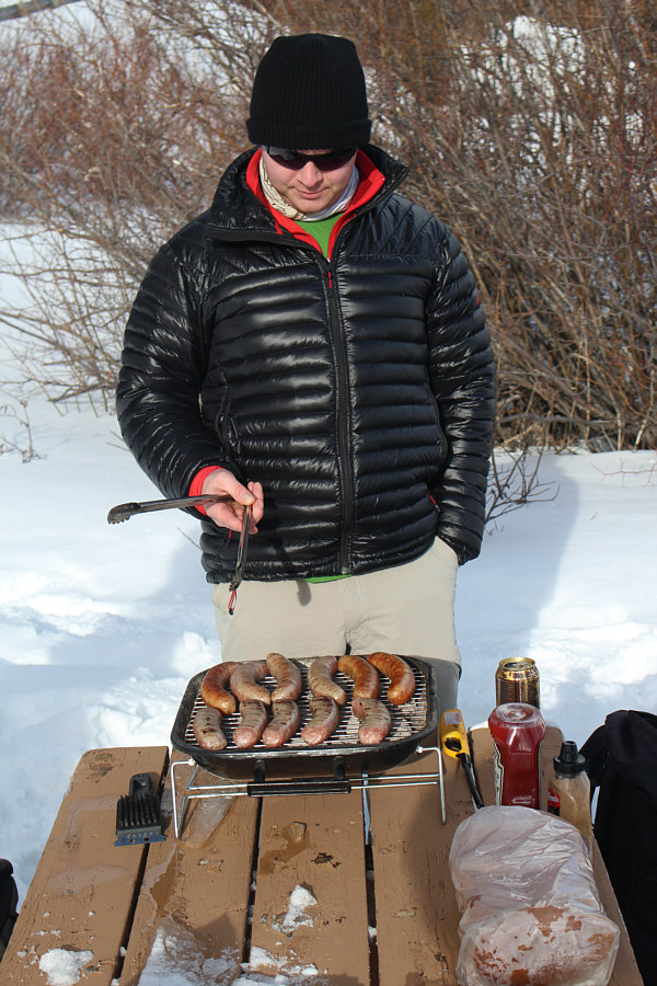
Mitch is the MasterChef of Spolumbo's sausages!
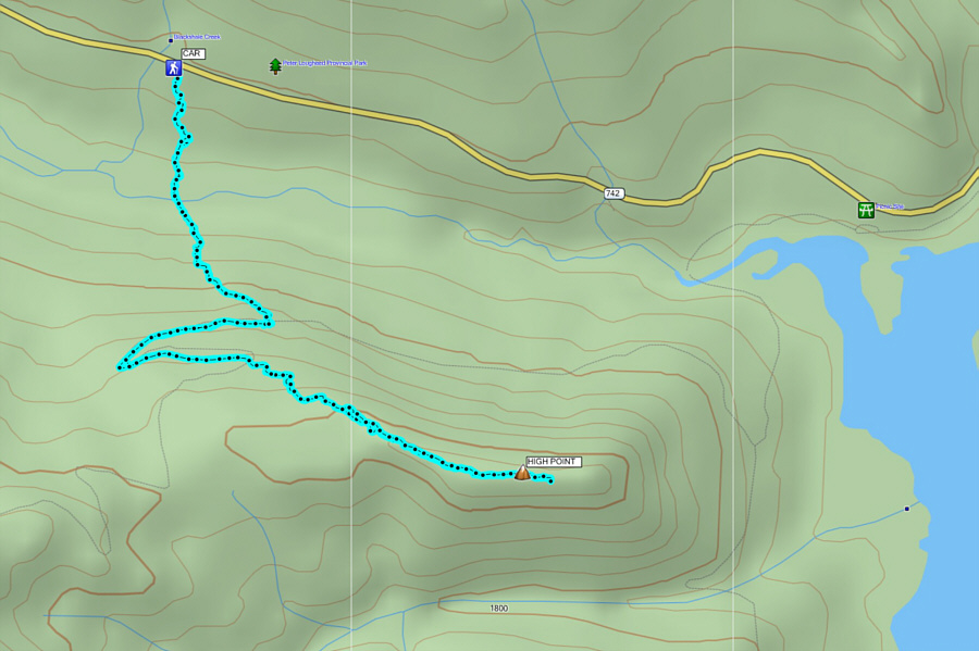
A fairly safe winter objective. Total Distance:  7.5 kilometres
Round-Trip Time:  4 hours
Net Elevation Gain:  346 metres
Total Elevation Gain:  492 metres

GPX Data

I would return in 2019 for a second ascent but using skis instead of snowshoes.