BOU AVENUE
Hill Of The Flowers
On 12 July 2016, I accompanied Zosia Zgolak for the start of a 3-day backpack trip to the headwaters of McPhail Creek in the Highwood region of Alberta's Kananaskis Country.  Other than having to start from Highway 40 because of the closure of Cat Creek day use area (the access road remains unrepaired from the 2013 floods), we pretty much followed the route description in Gillean Daffern's Kananaskis Country Trail Guide.  After an initial stretch of easy walking, we forded the Highwood River and continued along the old road which was wet and muddy in a few places but still easy to hike.  A few unsigned junctions were a bit confusing for us (these are most likely shortcuts or bypass trails), but we always managed to stay on track.  About one kilometre west of the junction for Hill Of The Flowers, we found a nice spot near some beaver ponds to set up our base camp.  With some daylight to kill, we backtracked a bit to hike up Hill Of The Flowers.  From the aforementioned junction, a good trail climbs steadily up the south end of the hill.  This trail eventually levels out a bit above tree line and begins to head northward along the west side of the south ridge.  We left the trail here and climbed up steep grassy slopes to gain the ridge crest, and from there, it was an easy plod to reach the lofty summit.  After hanging around the top for about half an hour, we descended the way we came and returned to camp to have dinner and retire for the night.
Hmmm...I've driven through far worse washouts than this... 
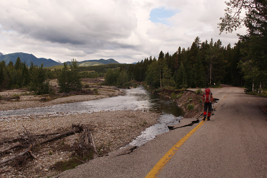
Zosia walks along what is left of the access road to Cat Creek day use area (closed to vehicles).
It's hard to fathom that we would eventually climb 3 out of the 5 in the next 32 hours! 
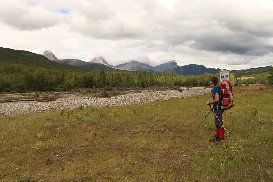
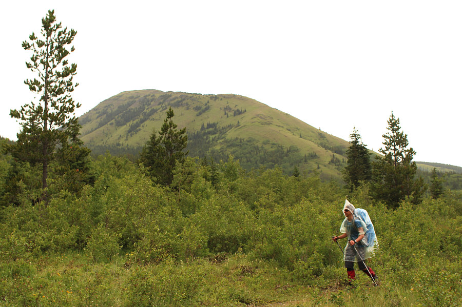
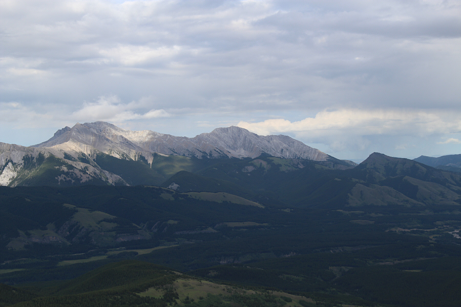
Visible from the trailhead are (L to R), Mount Muir, Mount McPhail, unnamed, Mount Bishop, and Hill Of The Flowers.
Zosia is going across in bare feet! 
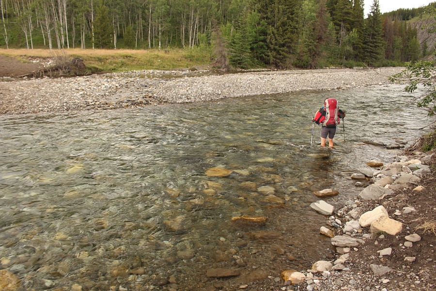
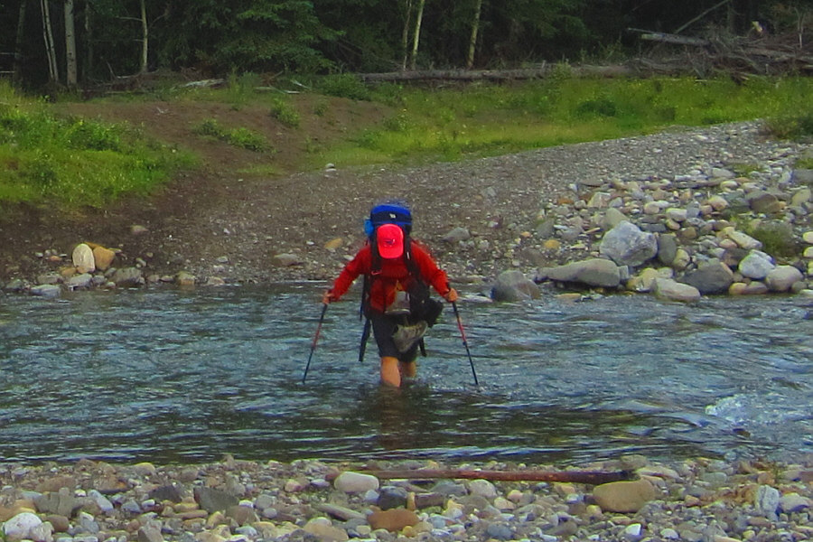
Zosia fords the Highwood River.
I'm wearing flip-flops...yeah, I'm a wuss! The Highwood River is about knee-deep on this day, but the current is still strong.

Photo courtesy of Zosia Zgolak

We saw a lot of fresh tracks on the hike out as well. 
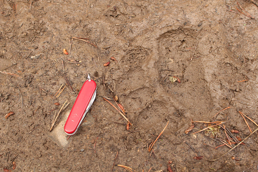
Sonny's Swiss Army knife provides some scale for this bear paw print.
Beautiful peak...too bad it's a slog to get up there! 
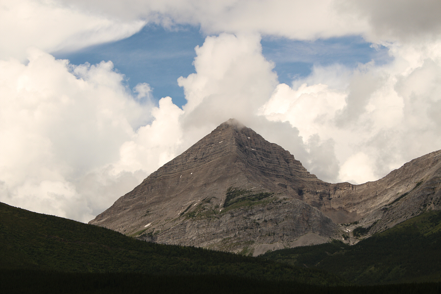
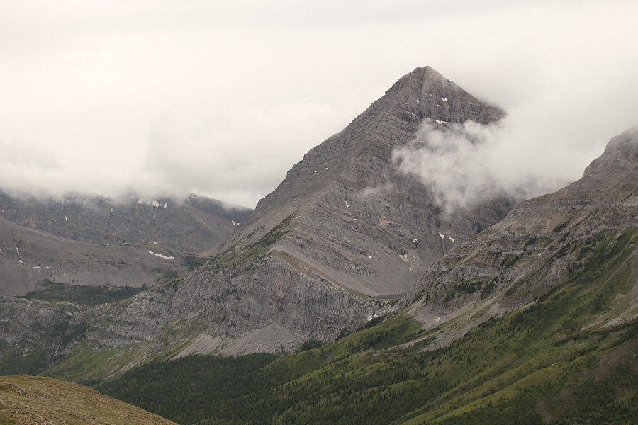
Mount McPhail has a striking pyramidal shape.
Stairway to heaven? 
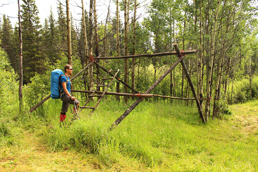
Zosia checks out the remnants of a horse camp.
Yep, it's raining... 
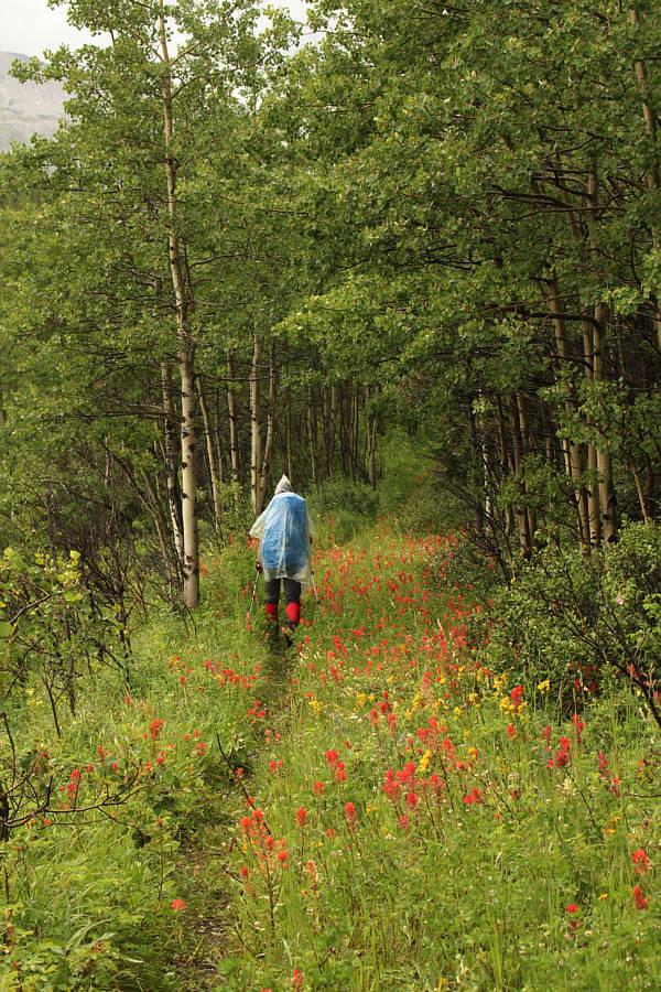
Indian paintbrushes are abundant alongside the trail.
Zosia is a Conehead! 
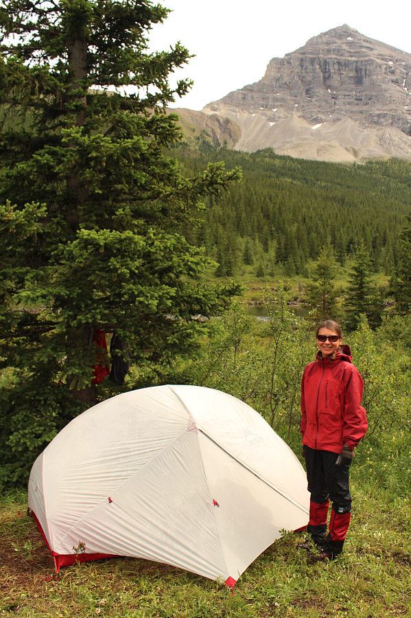
Zosia arrives at her chosen campsite with Hill Of The Flowers in the background.
Home, sweet home! Zosia stands proudly beside her tent.  Mount Muir is visible behind her.
This girl has a lot of energy! 
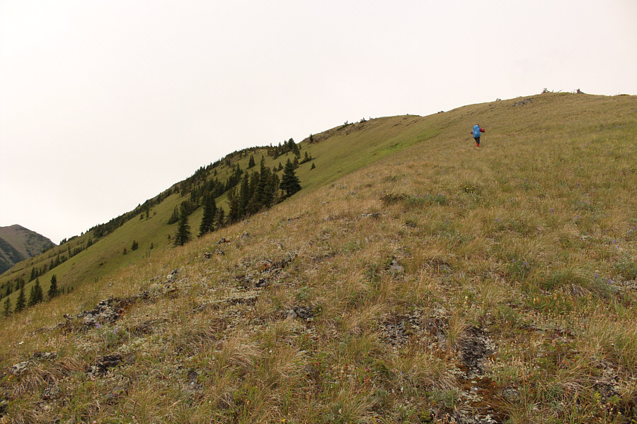
Zosia hikes up the south ridge of Hill Of The Flowers.
Zosia is careful not to step on any flowers! 
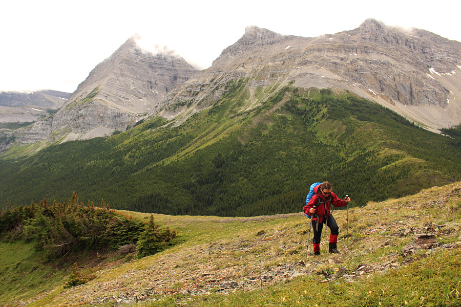
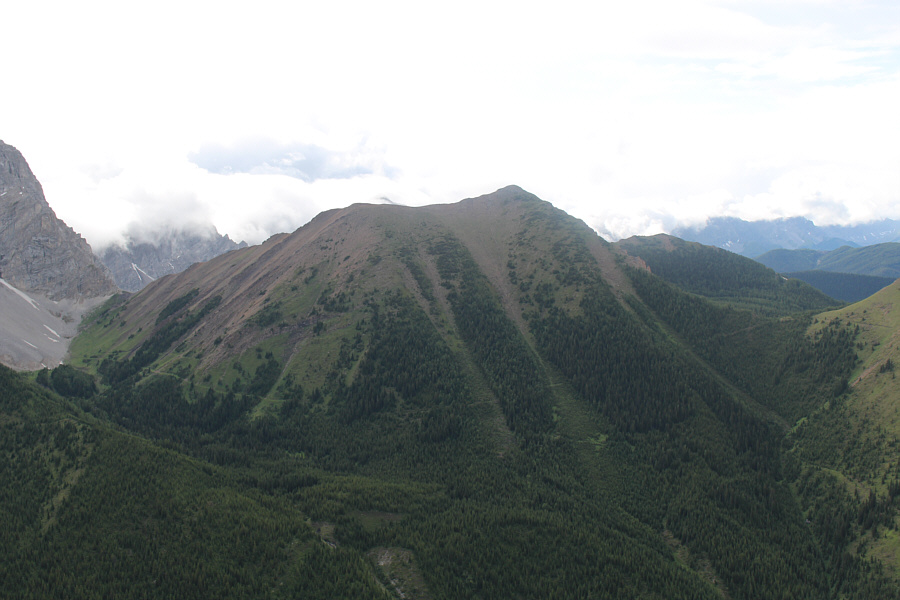
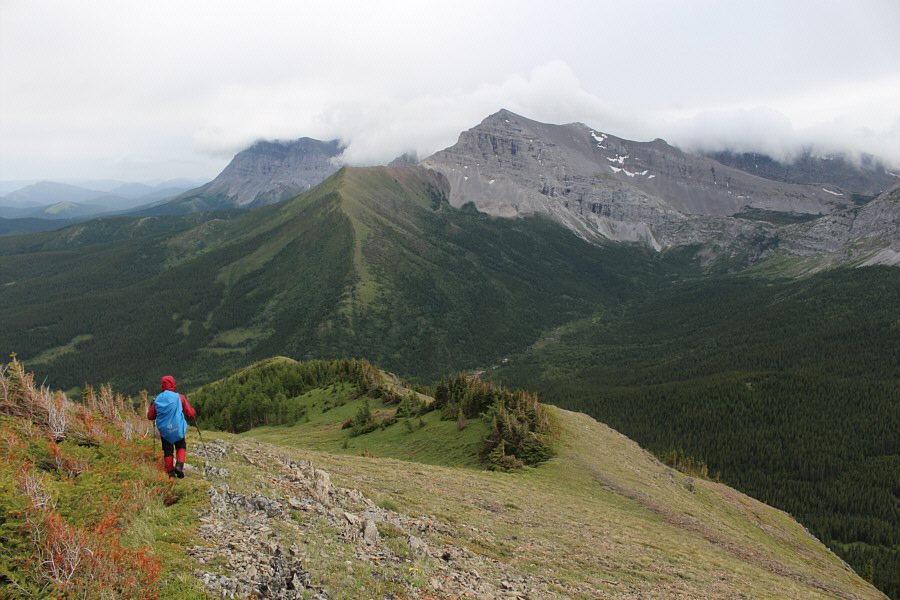
Behind Zosia, Mount McPhail (left) is partially shrouded in clouds.
This sure beats being in rush-hour traffic in Calgary right now! 
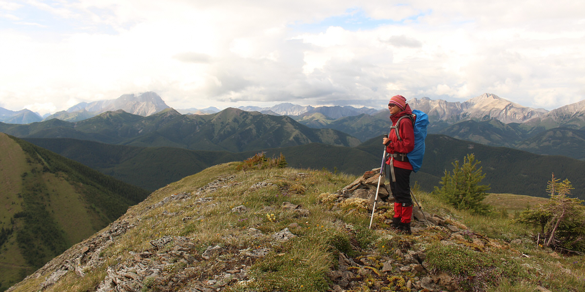
Sonny and Zosia stand on the summit of Hill Of The Flowers (2389 metres).
The east end of Lake Of The Horns is also barely visible. The clouds lift a bit to reveal the top of Mount McPhail.

 The big peak at right is unnamed (a GR in the Highwood Range).

Zosia takes a last look around before leaving the summit.  The big peak at left is Mist Mountain.


An interesting objective for another day... A trail can be seen running along the lower slopes of Bishop Ridge to the northwest.
It's been awhile since I got Head... To the east are Mount Head, Holy Cross Mountain and Junction Hill.
Time for dinner! Mount Muir is visible to the south as Zosia descends Hill Of The Flowers.
I always get these confused with fleabane... 
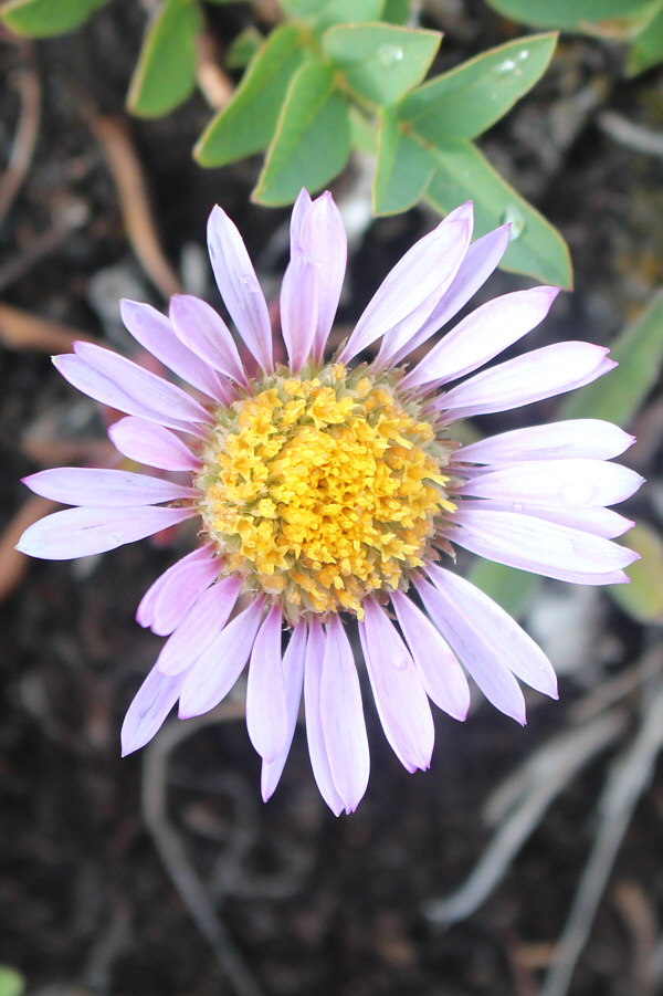
This is one of many leafy asters on Hill Of The Flowers.
I always get these confused with arnica... 
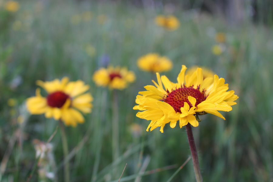
Gaillardia are also plentiful on Hill Of The Flowers.
What's for dinner, Zosia? 
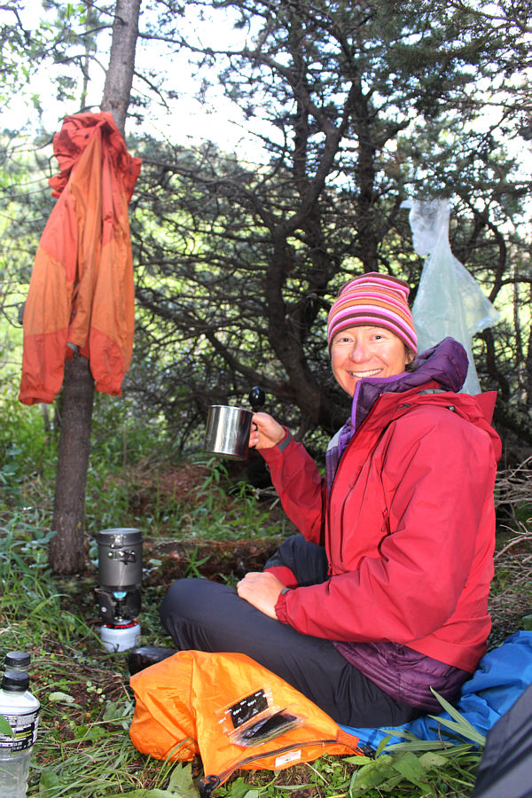
Zosia is cozy in the backcountry kitchen.
Trying to hang our food up high was a bitch! 
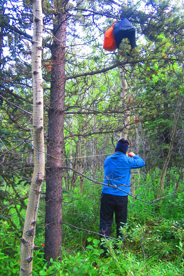
Sonny secures the rope after hanging up all the food.

Photo courtesy of Zosia Zgolak

It's bedtime, and I'm pretty beat... 
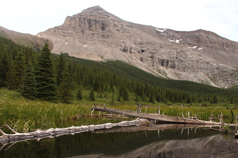
Mount Muir provides a rugged backdrop to one of several beaver ponds near the campsite.
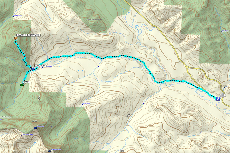
A lot of people need to learn about no-trace camping... Total Distance:  19.1 kilometres
Total Time CAR to CAMP:  4 hours 8 minutes
Round-Trip Time HILL OF THE FLOWERS from CAMP:  3 hours 24 minutes
Net Elevation Gain:  824 metres

GPX Data