 |
The group checks out the Mount Patrick Recreation Site's yurt. |
 |
The inside of the yurt is generally clean and well-maintained. |
 |
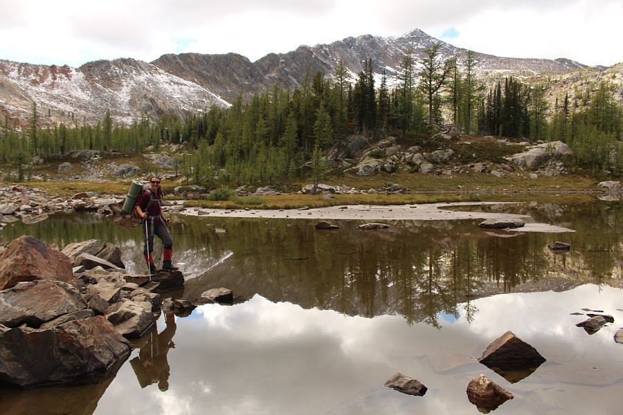
Zosia follows the rest of the group up the access road. |
 |
Eva B. climbs up a steep and slippery slope. |
 |
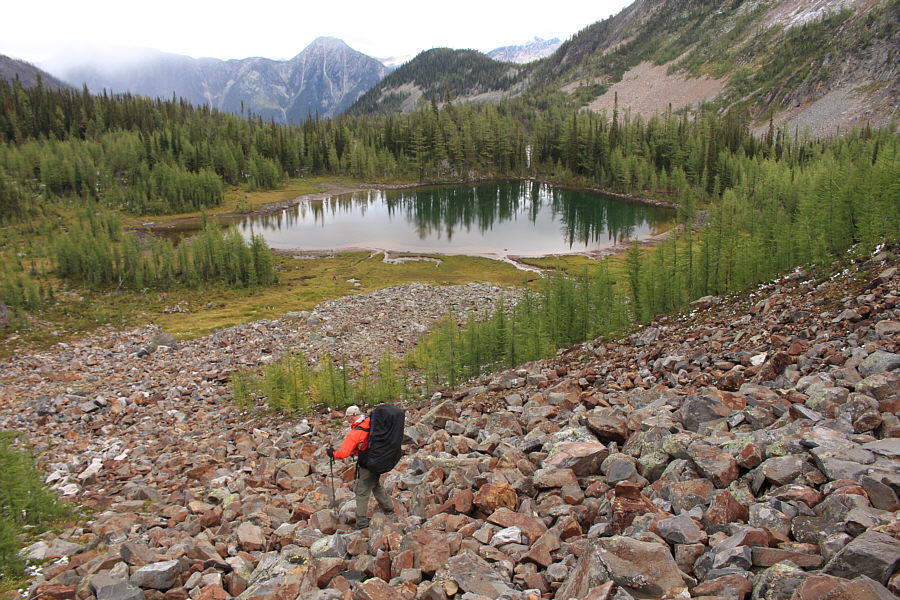
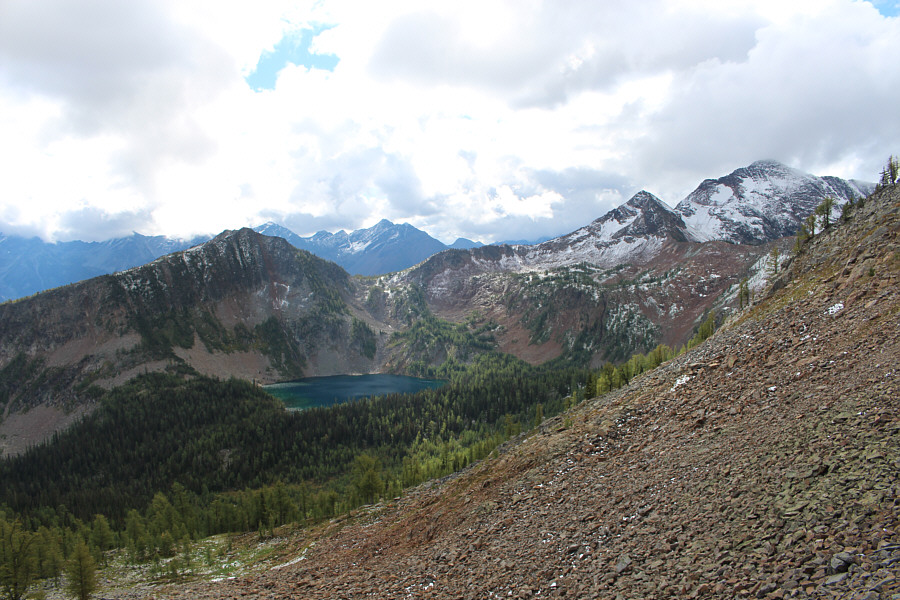
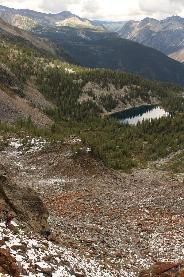
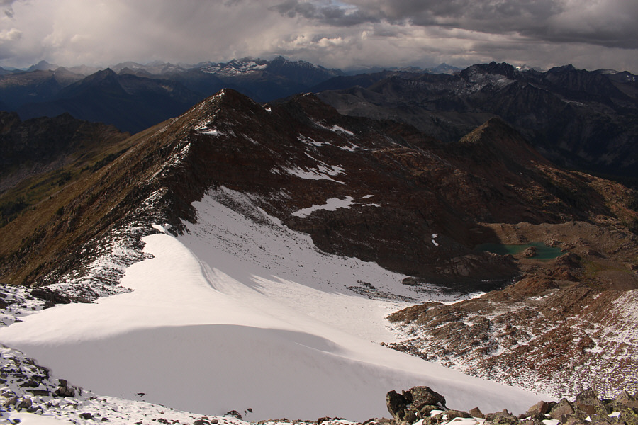
Here is an aerial view of Jurak Lake and a couple of smaller unnamed tarns. |
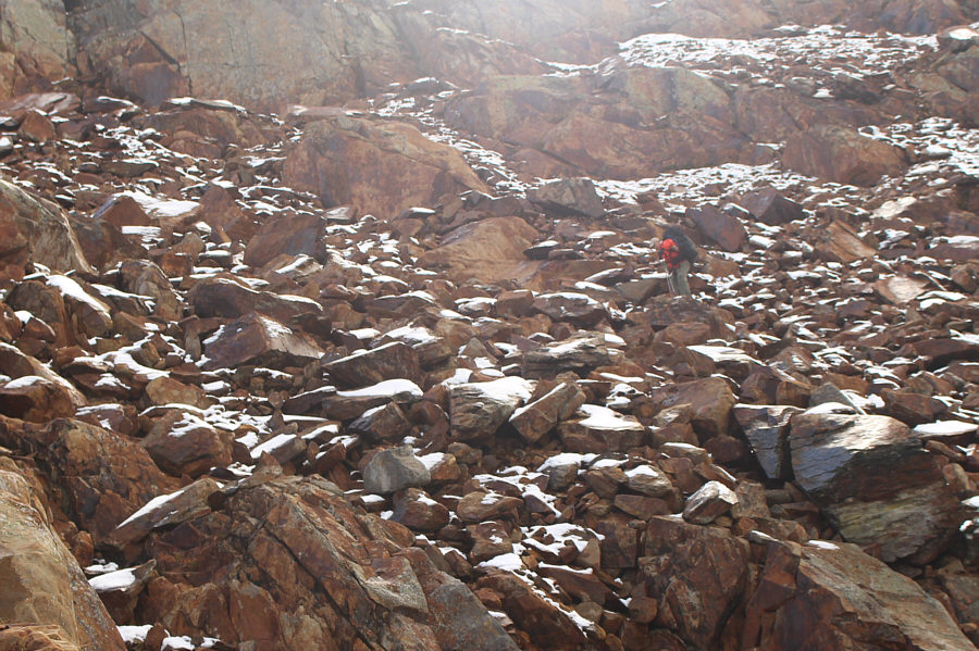 |
Rob picks his way through a boulder field as he descends toward Jurak Lake. |
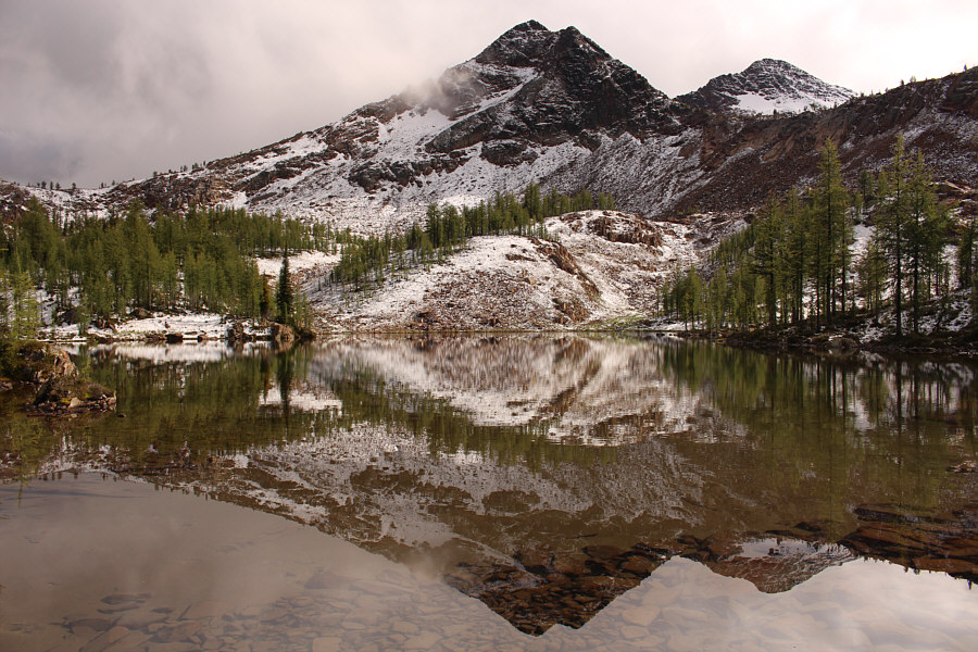 |
The northeast outlier of Mount Patrick is reflected in the upper unnamed tarn. |
 |
Rob carefully descends a rubble slope leading to the lower unnamed tarn. |
 |
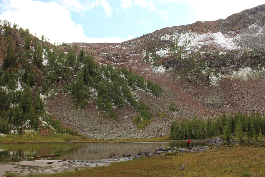
An unnamed peak is reflected in the lower unnamed tarn. |
 |
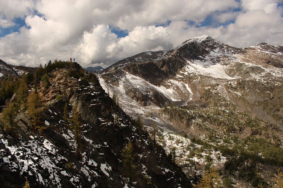
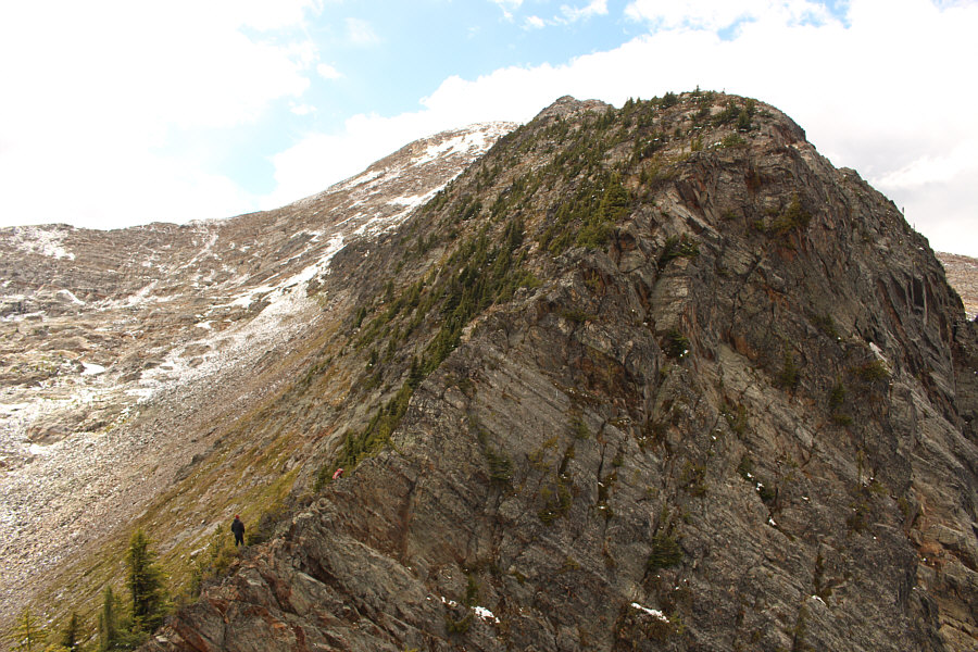
The group's descent route from the ridge is visible here. |
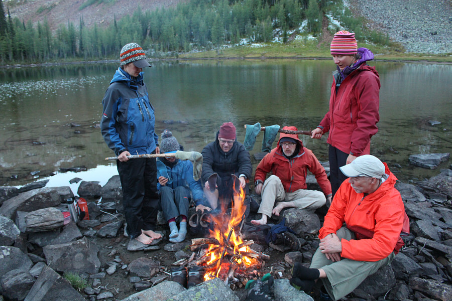 |
Running out of food, the group resorts to cooking their socks and leather boots for dinner. |
Before we made any decisions, Rob dropped back down the side we came up and quickly disappeared from sight. Unable to come to a unanimous consensus about which route to take, the rest of us decided to split up here with the understanding to meet at the yurt in case we became totally separated. While Eva B., John and Parry descended the couloir, Eva N., Zosia and I descended my slab route lower down the ridge. With some difficulty, the three of us slithered down steep slabs by sticking close to some trees interspersed with strips of dirt. After getting through the most difficult sections unscathed, we still had to descend a lot of rubble to reach the valley floor. From there, we turned southward and climbed up to Manson Col where we reunited with Eva B., John and Parry. They had descended the couloir without too much trouble and reached the col well before us.
At this point, Eva B. suggested climbing up Mount Manson, and although the rest of us would have been quite content to return to our cars, I eagerly offered to accompany her. A quick check on my GPS unit showed that the summit was about one kilometre away and would entail an elevation gain of about 300 metres. This information seemed to convince the others to join us, and we all dumped some of our gear before climbing up Mount Manson's east ridge. As it turned out, the east ridge is a bit more complicated than I was expecting; some moderate scrambling and even some route-finding are required. Eva B. did a nice job of breaking trail through the snowy sections below the summit, and we all agreed that the views from the top were well worth the effort.
After retracing our steps back to Manson Col, we collected the gear we
left behind and descended open slopes to the south. Lower down, we
reunited with Rob who had returned to the yurt via our route of entry and
came partway up to Manson Col to look for us. Together, we worked our way
down through the forest
to the Manson Col trailhead and enjoyed an easy hike back to our cars in
growing darkness. Returning to the Dewar Creek Road, we drove
toward the trailhead for Dewar Hot Springs until we found a suitable pullout along the
way to have dinner and camp for the night.
 |
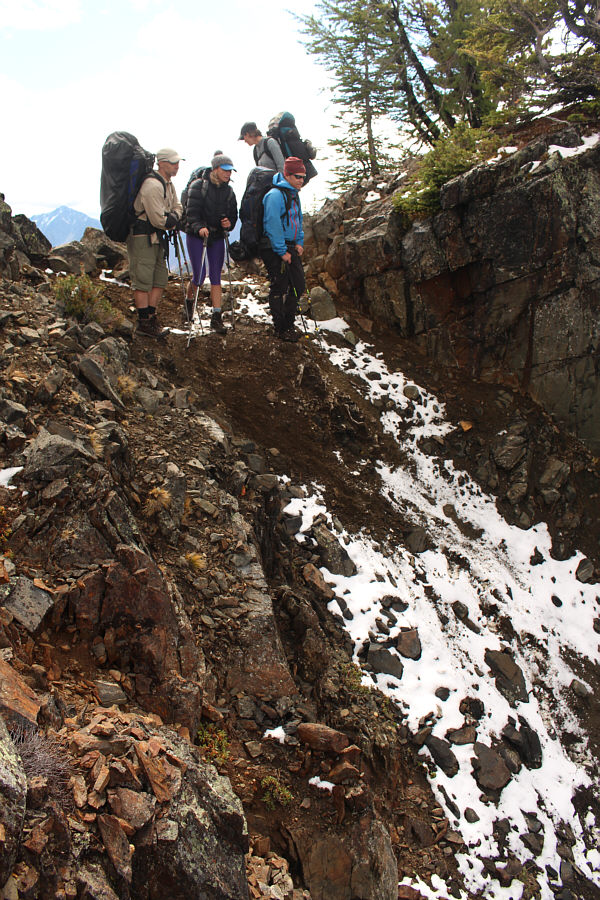
The group makes their way across rubble slopes aiming for the low point of the ridge at upper left. |
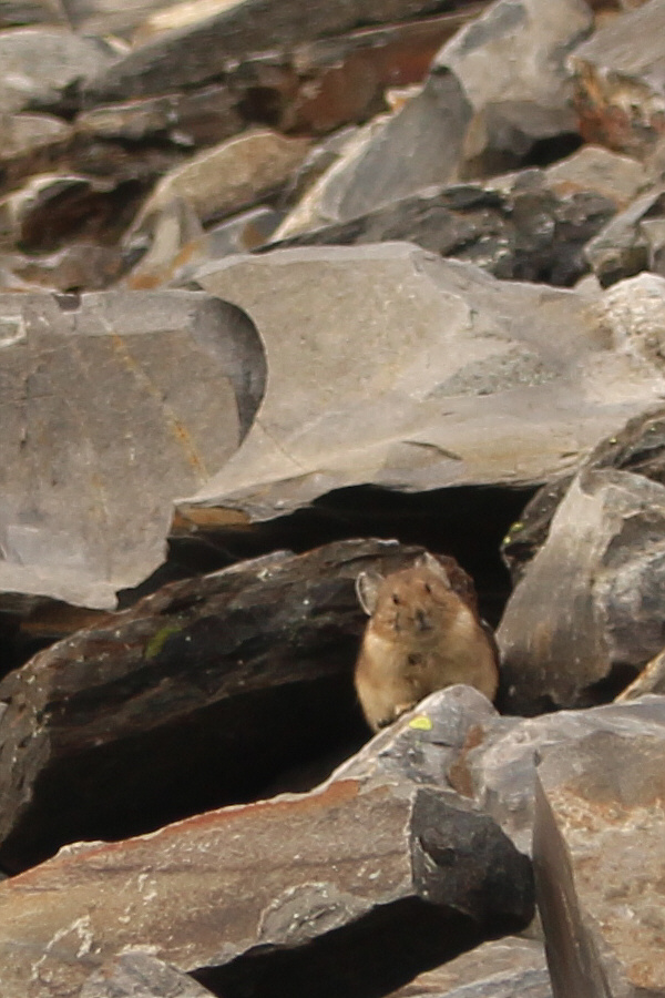 |
A pika is displeased by human intruders. |
 |
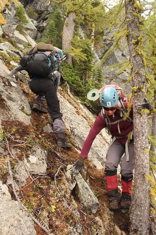
Zosia tries to get over an awkward tree branch while scrambling up a very steep chute. |
 |
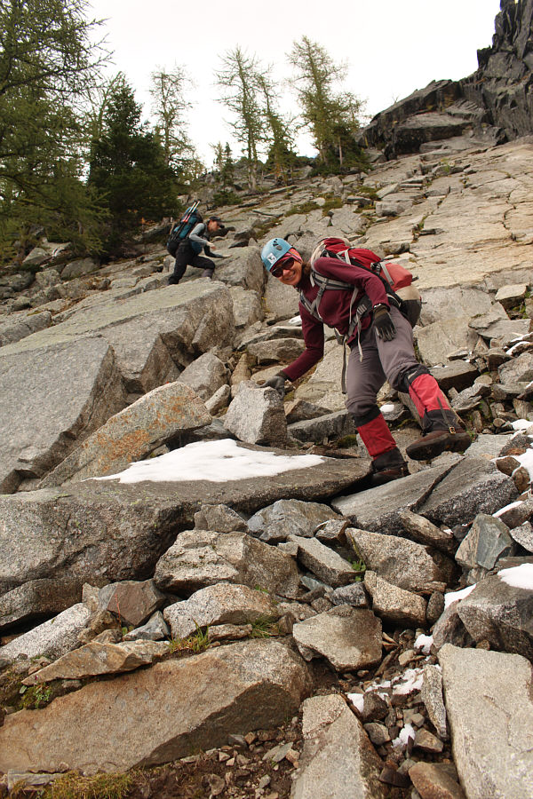
The group climbs up another boulder field to gain the ridge. |
 |
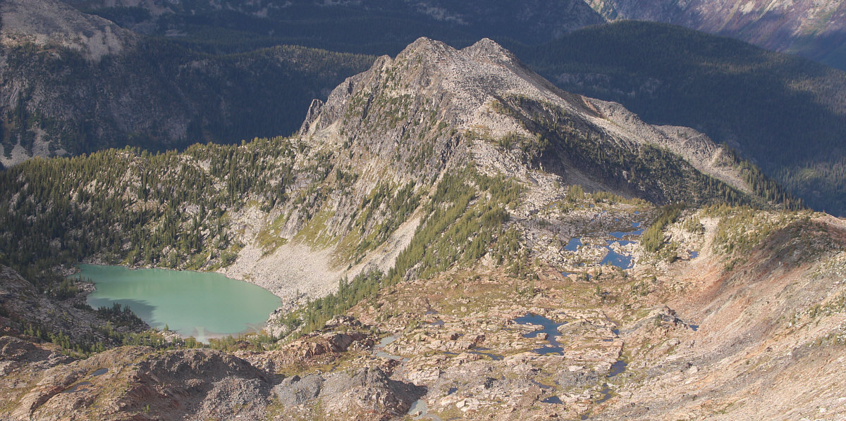
This is looking back at Jurak Lake and Mount Patrick (far right). |
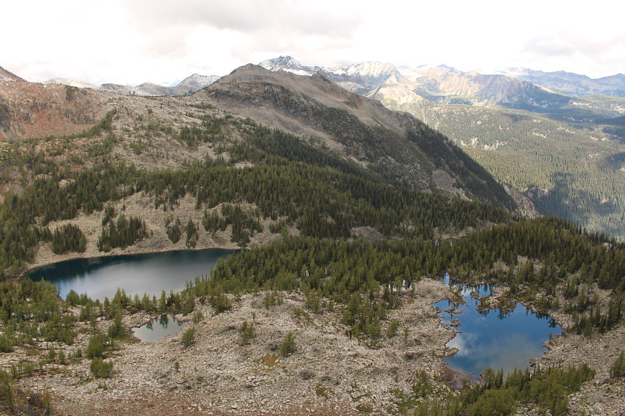 |
More unnamed tarns lie on the other side of the ridge. |
 |
Zosia and Eva B. get their first good look at Mount Manson |
 |
The group takes a break on the ridge. Manson Col is visible at right. |
 |
Rob, Eva B. and John look down the couloir while Eva N. looks down the other side of the ridge. |
 |
Eva N. and Zosia scramble down Sonny's slab route. |
 |
Zosia smiles knowing that she is past the most difficult sections of Sonny's slab route. Eva N. follows behind her. |
 |
Here is a more comprehensive view of Sonny's slab route. |
 |
Mount Manson and Zosia are both reflected in another unnamed tarn. |
 |
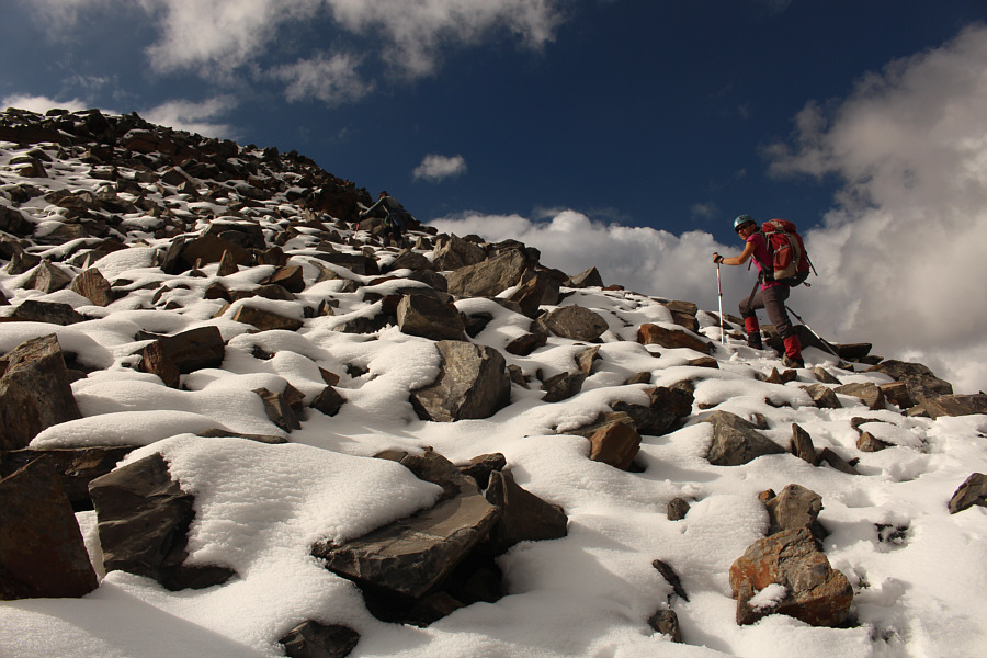
The route to Manson Col is steep, but the rocks are generally stable. Note the figures at the col. |
 |
Zosia and Eva N. climb up to Manson Col. |
 |
John climbs up the east ridge of Mount Manson. |
 |
The east ridge of Mount Manson is more complex than expected. |

A couple more unnamed tarns dot the landscape to the north.
 |
John follows Eva N. and Zosia up the ridge. |
 |
Eva N. and Zosia can see the summit. |
 |
Some more tarns sit on the southeast slopes of Mount Manson. |
 |
Eva N. and Zosia scramble up the last few rocks before the summit ridge. |
 |
On the summit of Mount Manson (2737 metres) are (L to R) Eva B., John, Parry, Zosia, Eva N. and Sonny. |
 |
A large snowfield sits below the northwest face of Mount Manson. |
Another lake and numerous tarns dot the landscape to the north.
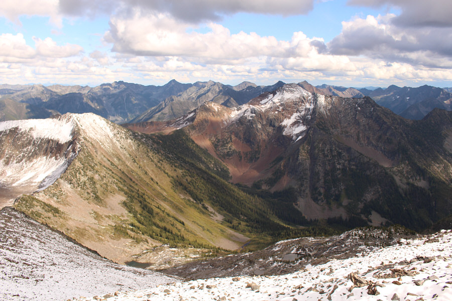 |
Across the valley to the southeast is snow-clad Mount Patrick. Manson Col is at far left. |
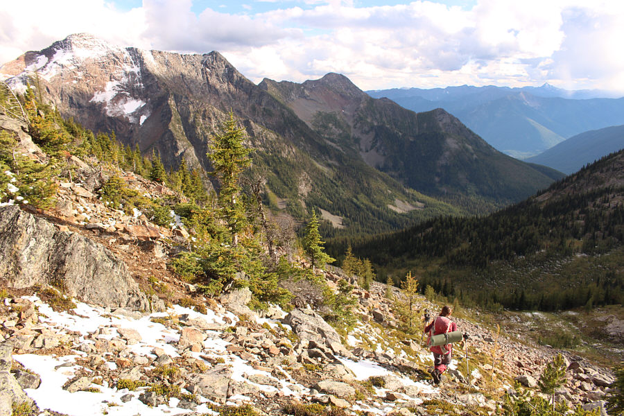 |
Zosia descends from Manson Col into the valley below. At upper left is Mount Patrick. |
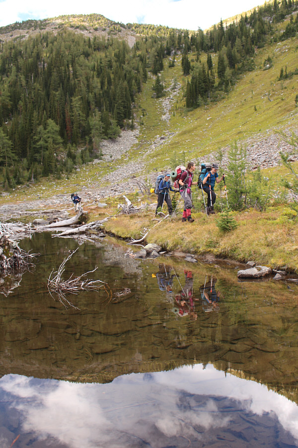 |
Parry, Eva B., Zosia and Eva N. walk alongside a reflective creek partway down from Manson Col. |
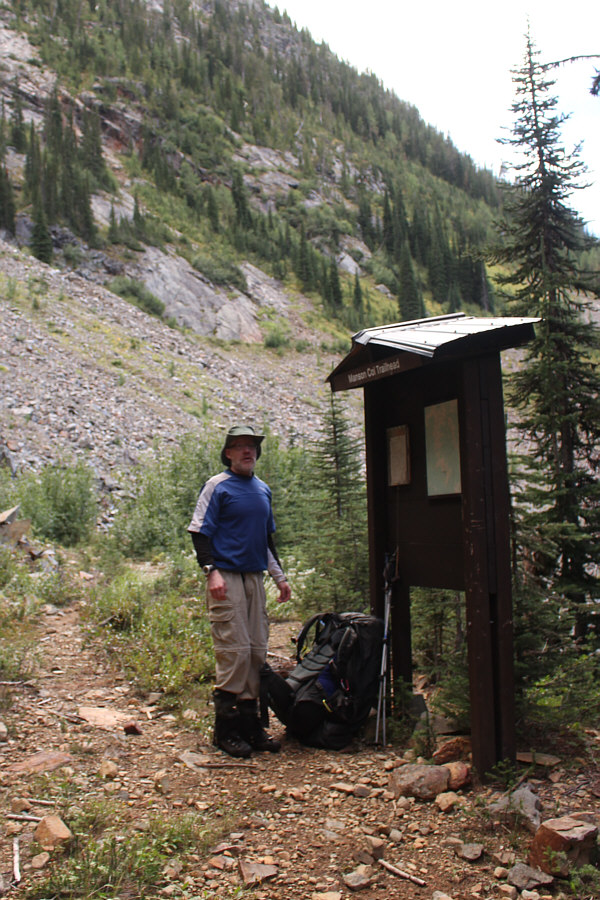 |
Parry arrives at the Manson Col trailhead. Oddly enough, there is no established trail to Manson Col from here! |
 |
Evening alpenglow lights up the sky as the group hikes out the road in growing darkness. |
 |
Eva N. and Zosia share some wine after dinner at an impromptu campsite beside the forestry road. |
 |
Total
Distance: 22.1 kilometres Total Time: 32 hours 49 minutes Total Elevation Gain: 1800+ metres |