Photo courtesy of Zosia Zgolak
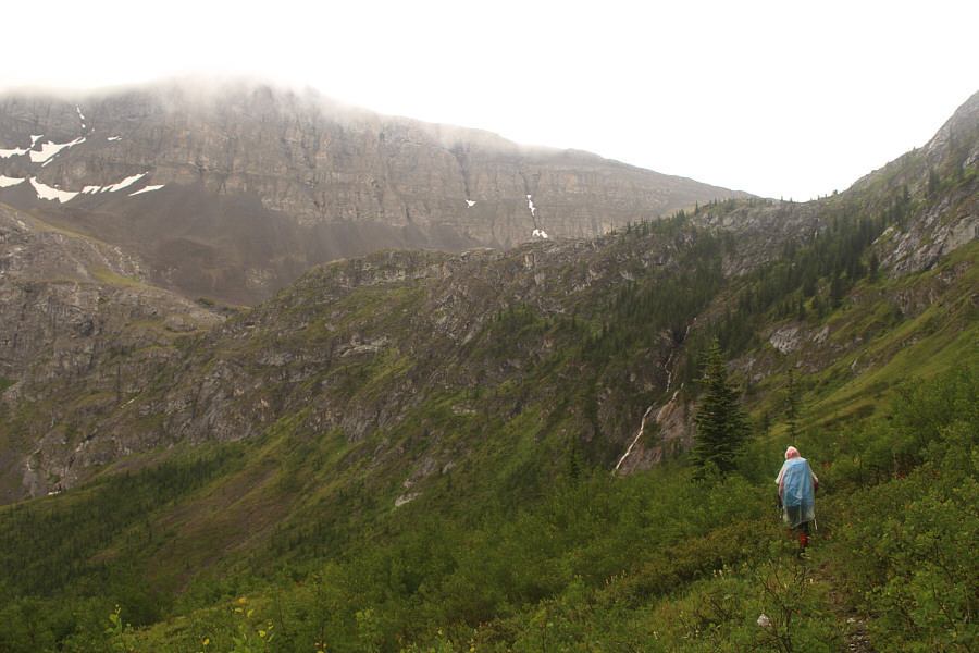

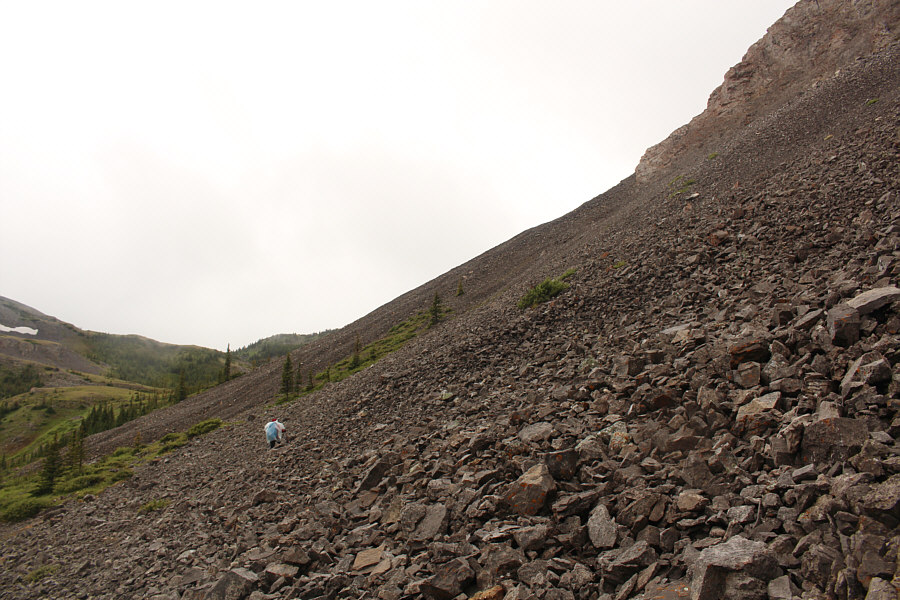
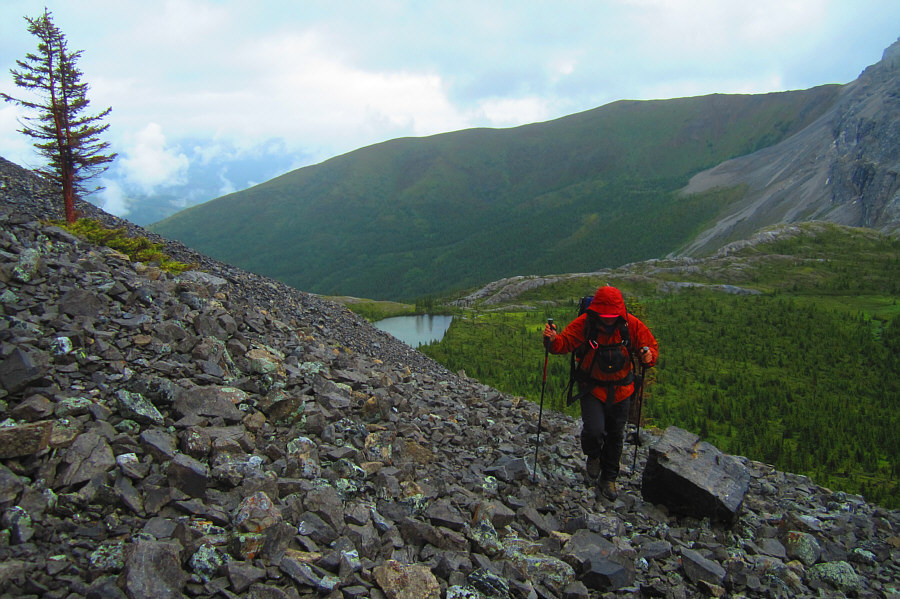
Photo courtesy of Zosia Zgolak

Between the wet vegetation along the trail and a light rain that began to fall, Zosia and I were both slowly getting soaked as we climbed the headwall guarding Weary Creek Gap. At the top of the headwall, we circled around the north side of an unnamed tarn and began traversing across a large scree slope below the southeast face of Mount McPhail. Although a light rain continued to fall, we were both feeling pretty good here and decided to forego Weary Creek Gap and take a stab at ascending Mount McPhail. As we had expected from Andrew Nugara's route description in More Scrambles in the Canadian Rockies, much of the ascent of Mount McPhail is a long and wearisome scree slog made all the less appealing by the wet drizzle and the complete lack of views on this day. Despite slippery rocks and low visibility, we had no problems navigating through a couple of rock bands just below the summit.
Our summit stay was understandably short, and after signing the register, we made a hasty retreat down the mountain. As we got lower, the weather showed signs of improvement, and we began entertaining thoughts about ascending Mount Muir which is also described in Nugara's book. We veered westward as we descended and stopped for a break not far from Weary Creek Gap. By this point, the rain had stopped, and we were even blessed to get a few sunny breaks. In contrast to the slog up Mount McPhail, the ascent of Mount Muir was a hiker's dream as we followed a series of gentle rises and finished with a very enjoyable ridge walk.
Descending from the top of Mount Muir, we took a shortcut and regained the top of the headwall after working our way down a long scree slope and successive grassy benches. The only issue we had was trying to cross the outlet stream of the unnamed tarn. This involved a short but rather awkward thrash through very thick alders covering the stream. We regained our original access trail immediately after this and had an uneventful hike back to camp. That evening, Zosia and I enjoyed a well-deserved dinner made all the more satisfying by our accomplishments of the day.
In
retrospect, the disappointment of not having any views from the top of
Mount McPhail was tempered by a very enjoyable ascent and descent of
Mount Muir. More memorable for me though was the great company I had
throughout this adventurous day. Thank you, Zosia, for your unwavering optimism
and enthusiasm!
|
|
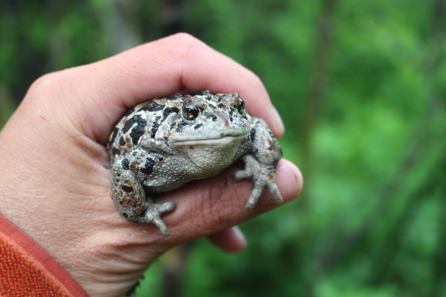
Sonny grabs a boreal toad for breakfast. |
|
|
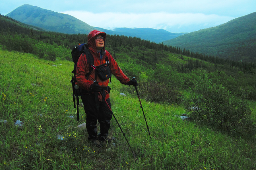
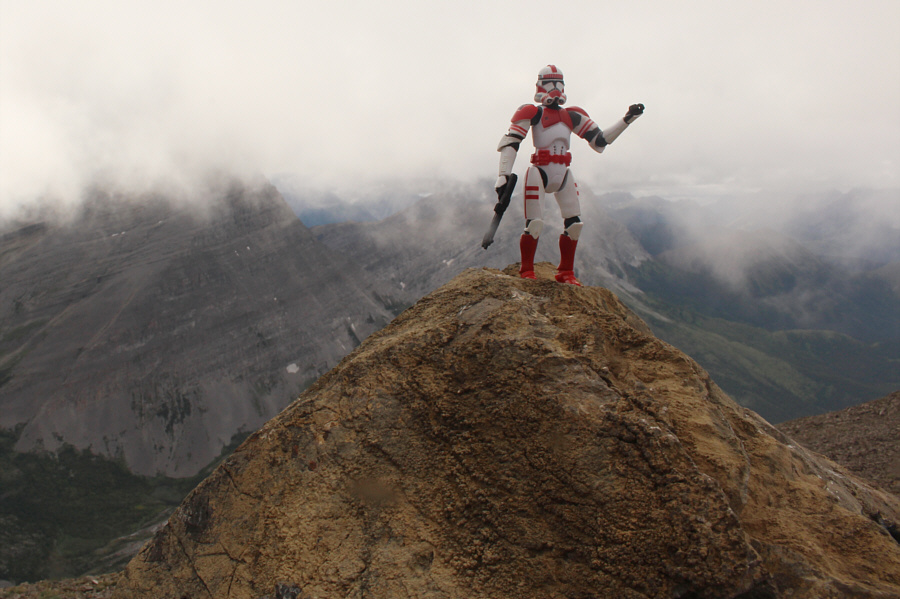
Sonny is having second thoughts about
scrambling in the rain. Behind him is Hill Of The Flowers. Photo courtesy of Zosia Zgolak |
|
|
Zosia approaches the headwall guarding Weary Creek Gap. |
|
|
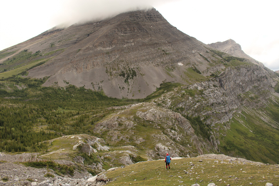
A tarn sits at the top of the headwall in this view from the southeast slopes of Mount McPhail. |
|
|
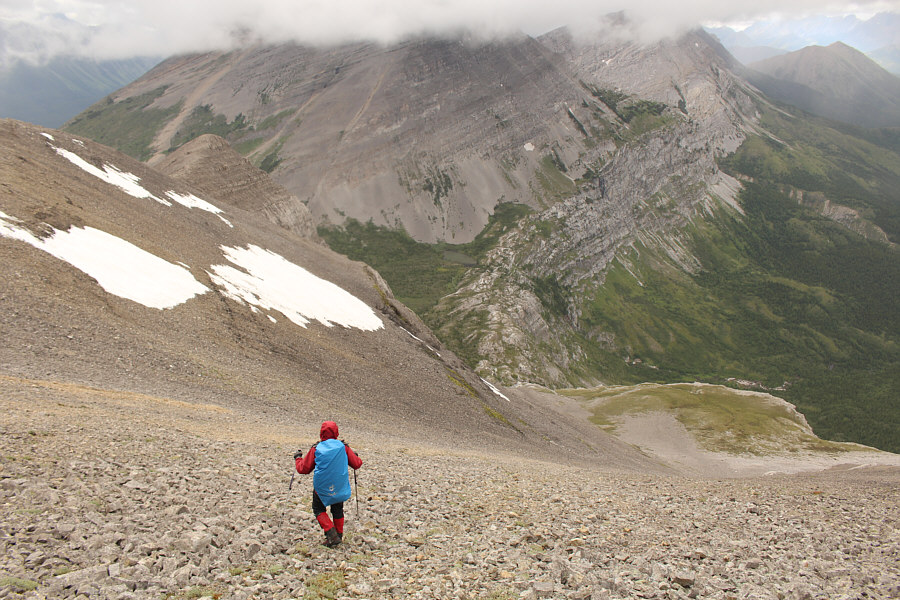
Zosia traverses across a lot of rubble at the foot of Mount McPhail. |
|
|
Sonny watches his footing on the
rubble slope made slick by rain. Photo courtesy of Zosia Zgolak |
|
|
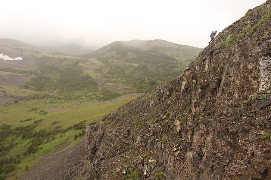
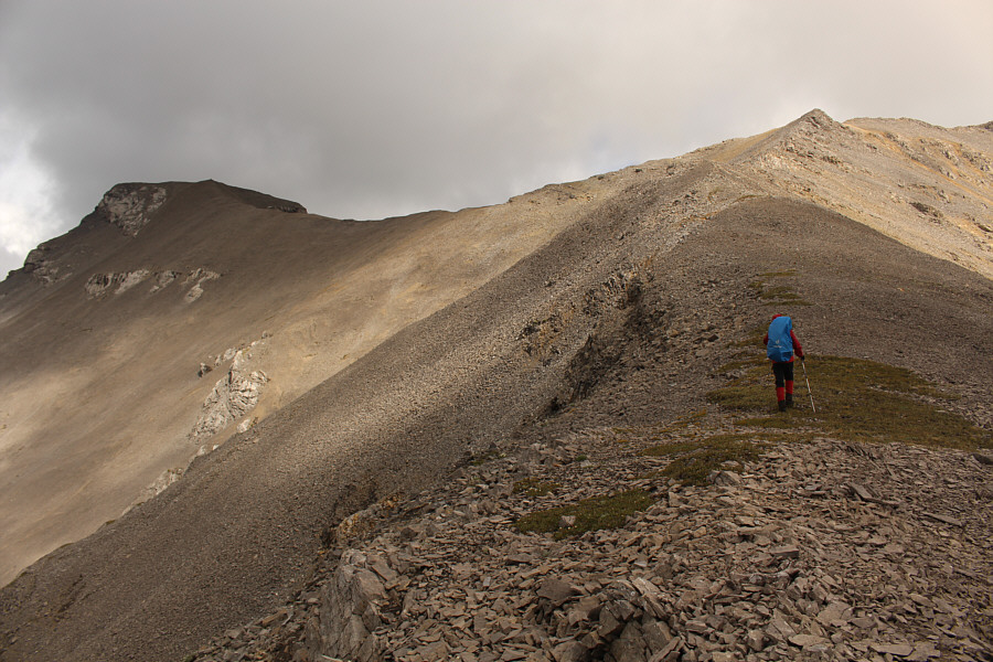
Zosia scrambles up the southeast slopes of Mount McPhail. |
|
|
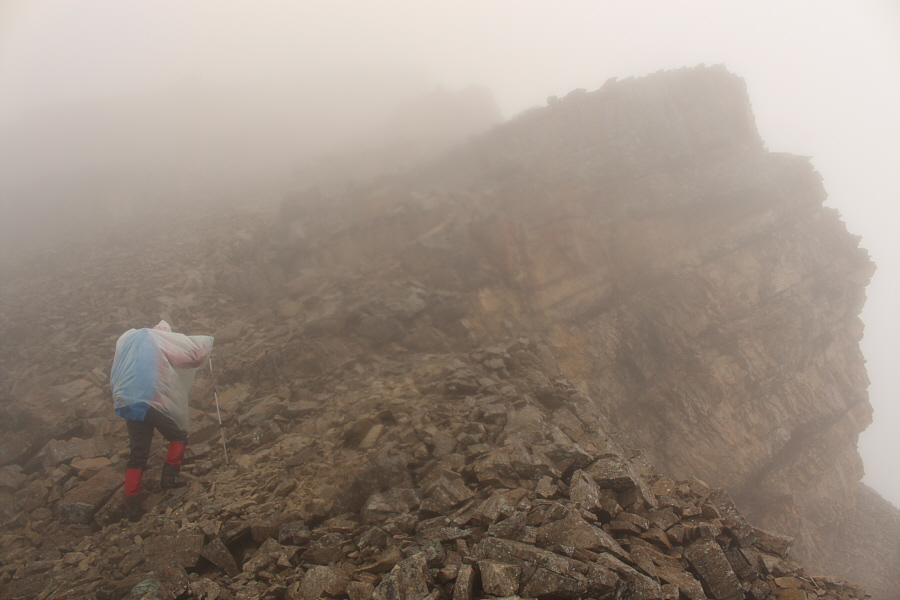
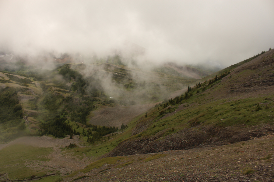
Visibility begins to deteriorate on the upper mountain. |
|
|
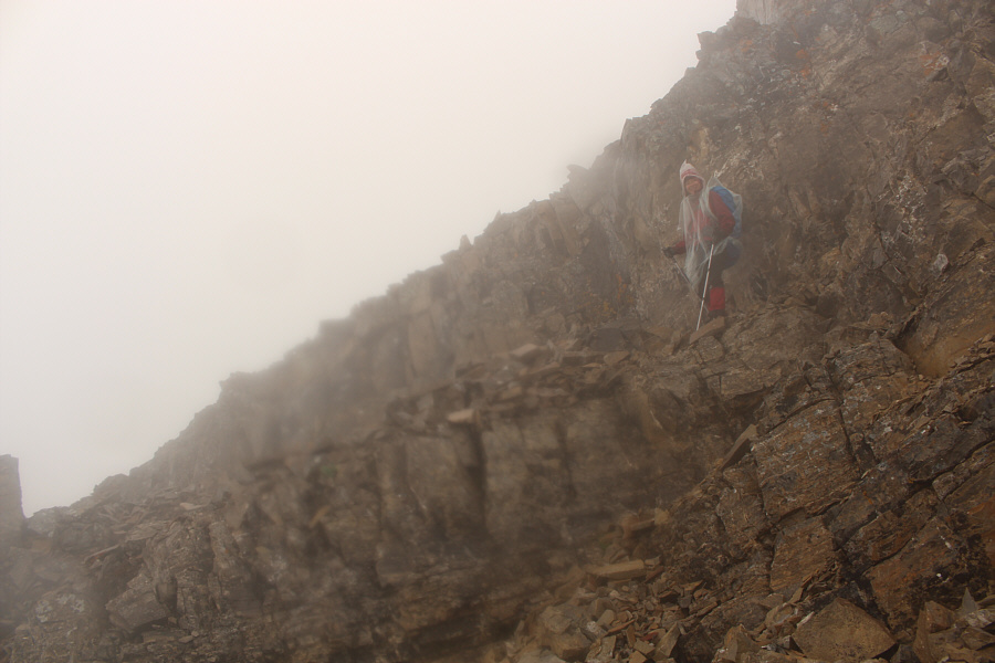
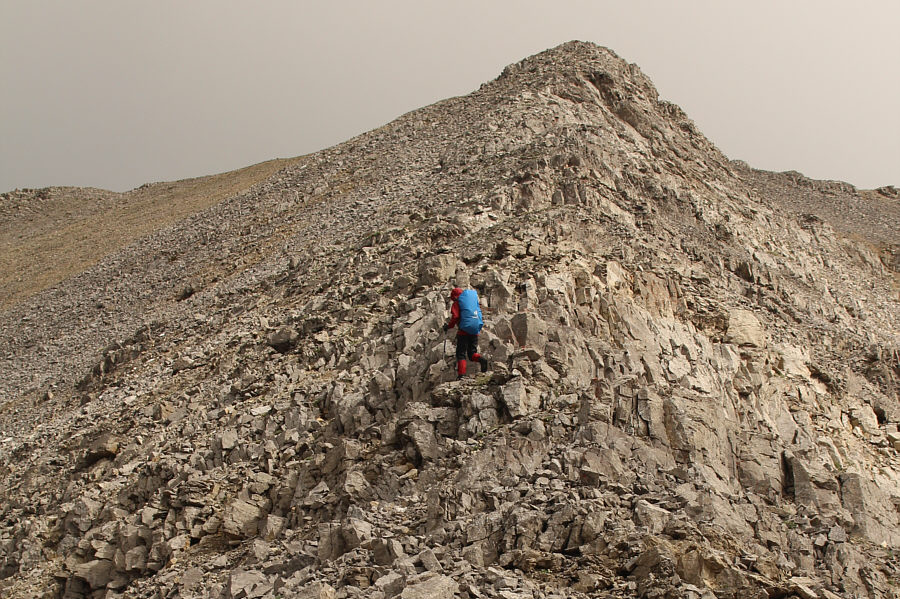
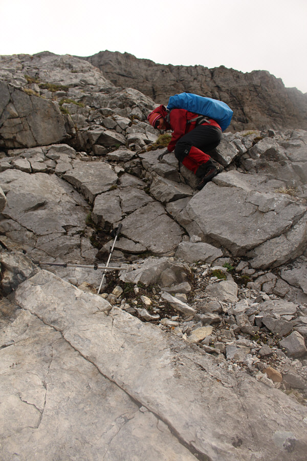
Zosia works her way up some cliff bands. |
|
|
Sonny and Zosia reach the 2889-metre summit of Mount McPhail. |
|
|
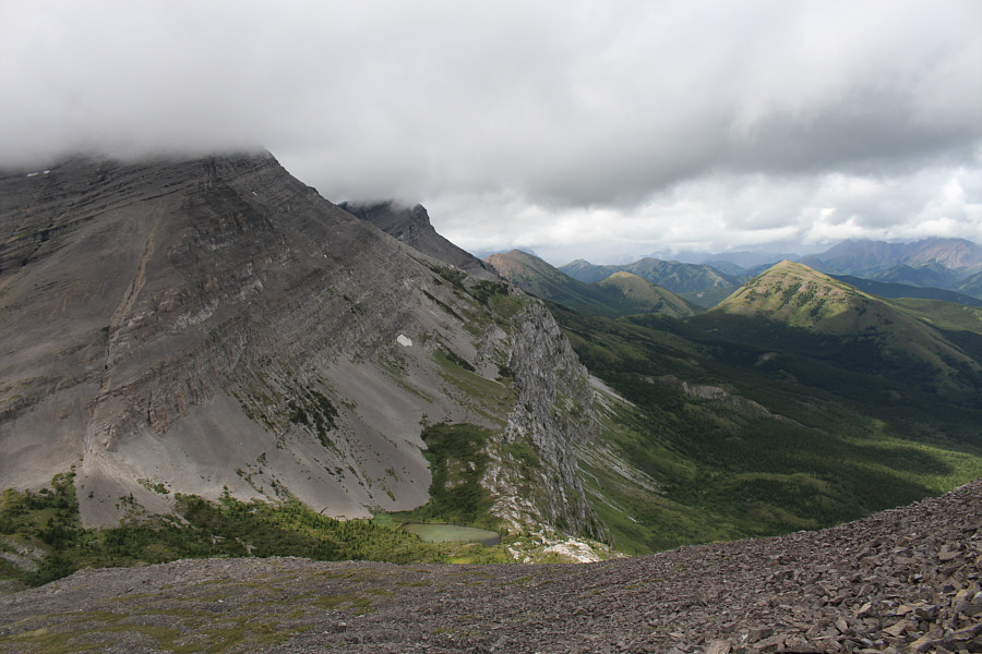
In this view from the southeast slopes of Mount McPhail, Weary Creek Gap is at far left. |
|
|
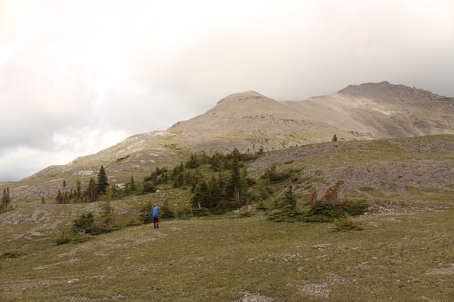
Zosia begins ascending the west ridge of Mount Muir. The summit is not visible here. |
|
|
Sunlight falls on Hill Of The Flowers at distant right. |
|
|
The headwaters of Weary Creek is probably seldom visited. |
|
|
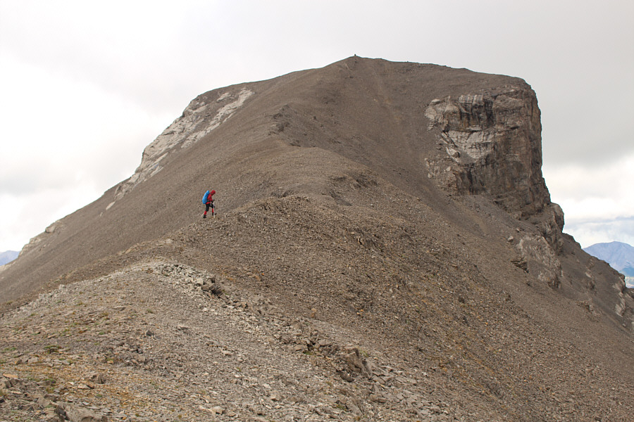
Zosia heads for a false summit (right). The true summit of Mount Muir is at left. |
|
|
Zosia climbs up some easy blocks below the false summit. |
|
|
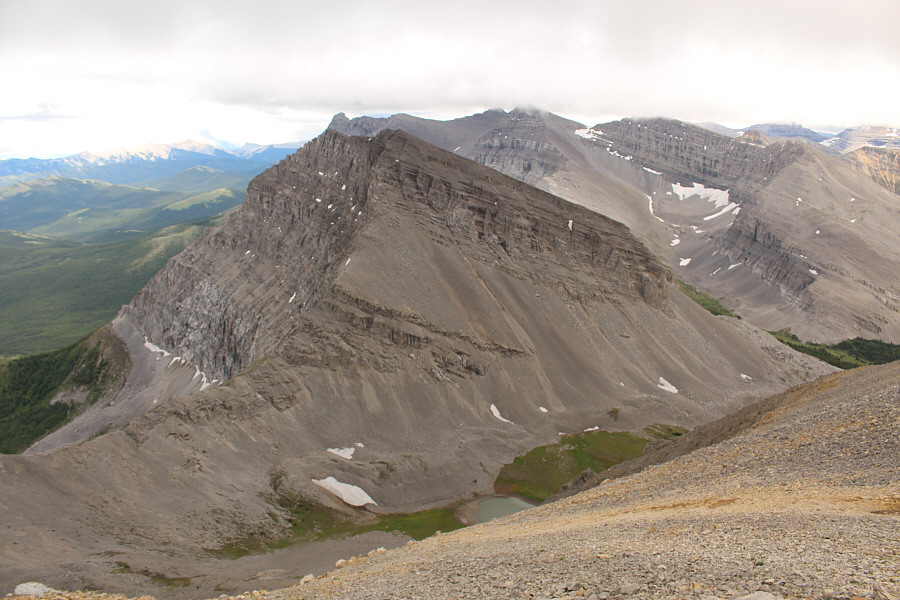
Immediately to the southeast is an unnamed tarn and Mount Strachan. |
|
|
Zosia ascends the final section of the west ridge. |
Sonny and Zosia are all smiles on the summit of Mount Muir (2742 metres).
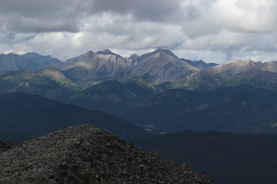 |
Most of the peaks of the Highwood Range to the north are unnamed. |
 |
Zosia takes a shortcut down to the headwall (centre). |
 |
Zosia down-climbs some tricky slabs. |
 |
Zosia continues down easy terrain toward the top of the headwall. |
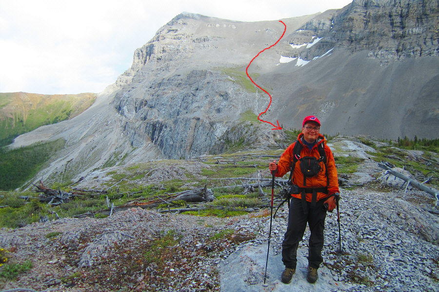 |
Sonny is pleased with the shortcut
that he and Zosia took to descend Mount Muir (approximate route
shown). Photo courtesy of Zosia Zgolak |
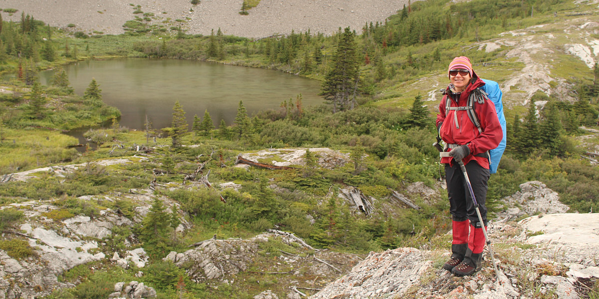
Zosia arrives back at the tarn at the top of the headwall.
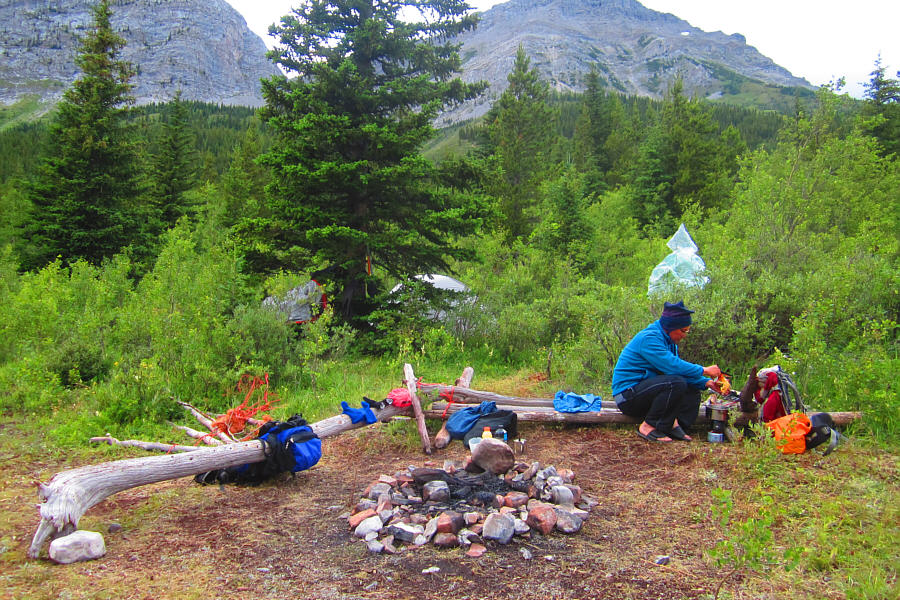 |
Sonny cooks up his dinner back at
camp. Photo courtesy of Zosia Zgolak |
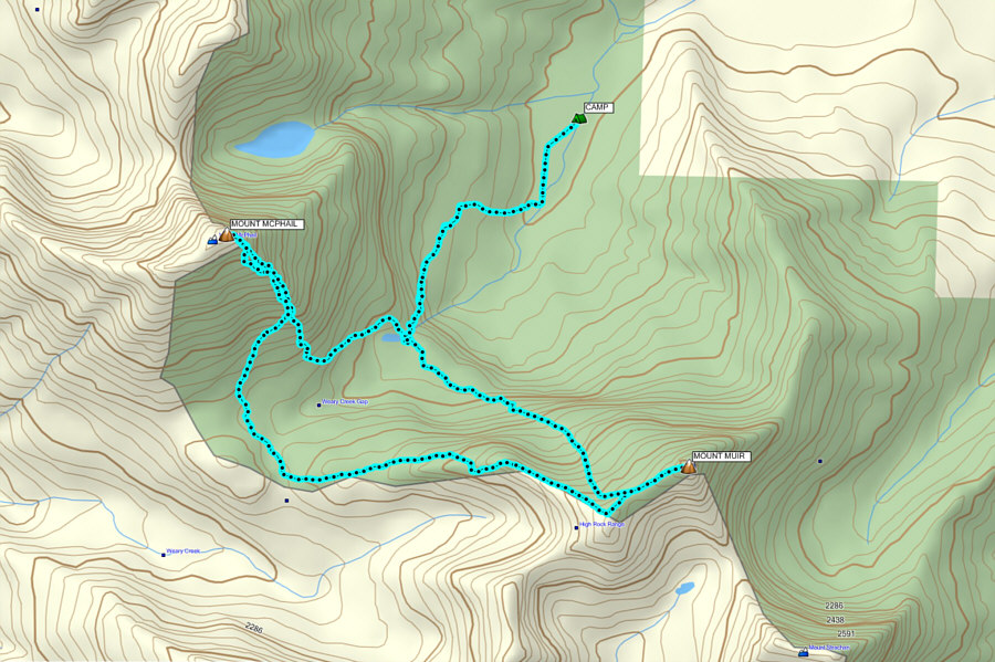 |
Total
Distance: 14.7 kilometres Total Time: 11 hours 44 minutes Total Elevation Gain: approximately 1600 metres |