BOU AVENUE
Morro Peak
Kicking off a 4-day visit to Alberta's Jasper National Park, Kathleen Gallagher, Zosia Zgolak and I hiked up Morro Peak on 7 April 2016.  After a long but scenic drive from Calgary, we stopped briefly at the Parks Canada info centre in Jasper to check conditions before heading to the northern terminus of the Overlander Trail (from the north entrance into Jasper, drive about 18 kilometres eastbound on Highway 16).  Two separate trailheads here in close proximity are a potential source of confusion, but taking no chances, we chose to start from the official trailhead which is marked by an obvious sign board.  We hiked along the Overlander Trail briefly before turning up the signed Morro Peak trail.  This trail climbs moderately up the west ridge of the peak before finishing up on the south side of the summit.  We had absolutely no route-finding issues throughout and even scrambled off-trail for a bit near the top just to make things interesting.  After a lengthy stay at the summit, we retraced our steps all the way back to the Overlander Trail without any problems.  With some extra time to kill, we hiked south for about 650 metres along the Overlander Trail to a scenic viewpoint before turning around.  We also hiked to the unofficial trailhead for extra variety and were pleasantly surprised to see a herd of bighorn sheep milling about beside the highway.  A short walk along the highway had us back at the official trailhead, and we subsequently returned to Jasper to check into our accommodations at the Bon Homme View.  Our evening was highlighted by a fantastic Mexican dinner complete with live music at Cafe Mondo which capped off a most auspicious start for our 4-day visit.
I think this is the better place to start. You're not likely to miss the turnoff for Morro Peak starting from here. 
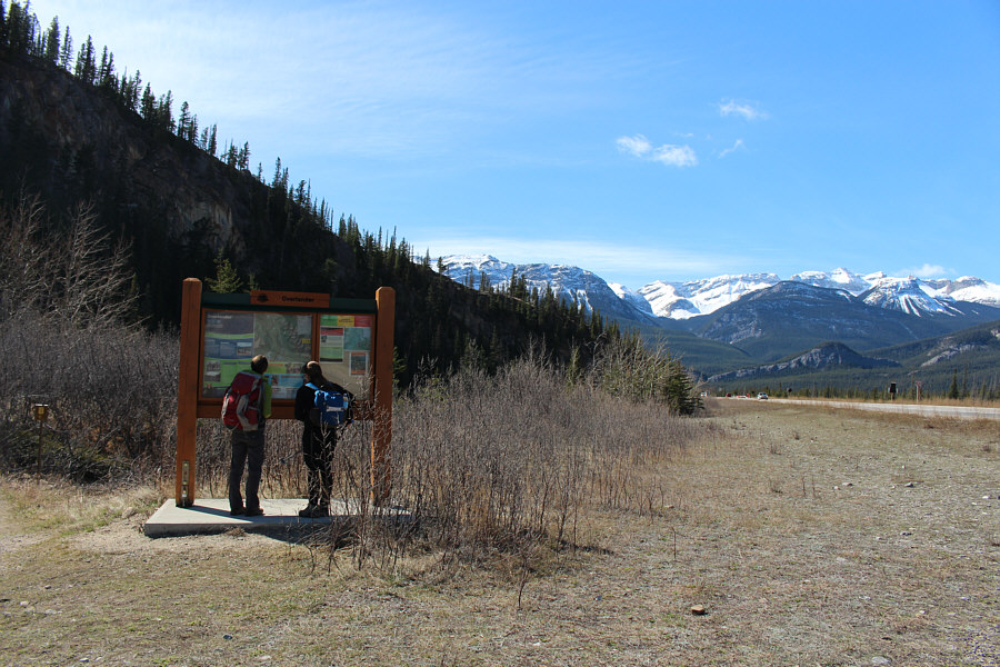
Zosia and Kathleen check out the sign board at the trailhead.
Though it looks tempting, short-cuts are NOT recommended! 
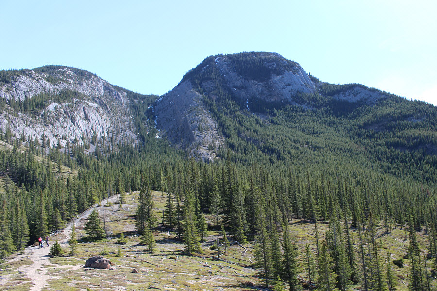
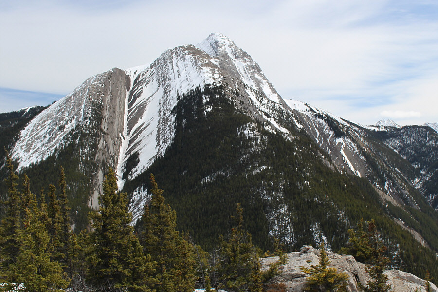
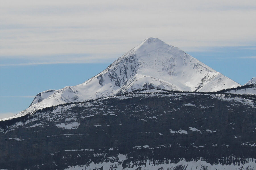
A clearing along the Overlander Trail grants this view of Morro Peak.  The easiest route ascends the right skyline ridge.
Looks like a good scramble (from the north, apparently)! Roche de Smet sits to the north across Athabasca River valley.
It seems almost too obvious! Zosia and Kathleen spot the sign for the turnoff to Morro Peak.
Note the massive avalanche fracture line on Pyramid Mountain! 
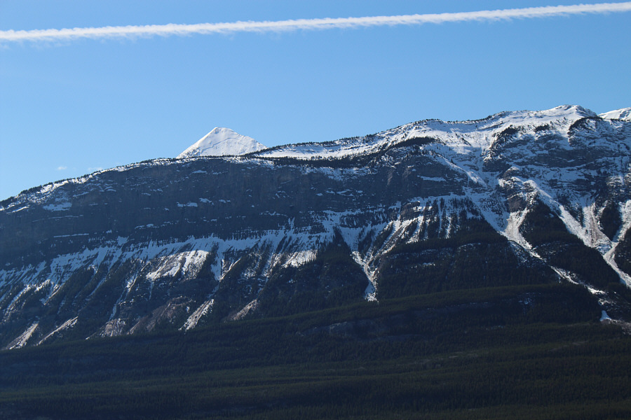
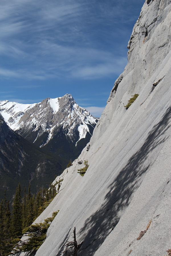
Pyramid Mountain peeks over the top of the Palisades to the southwest.
This was more a preventative measure to keep the hot spots from getting worse. 
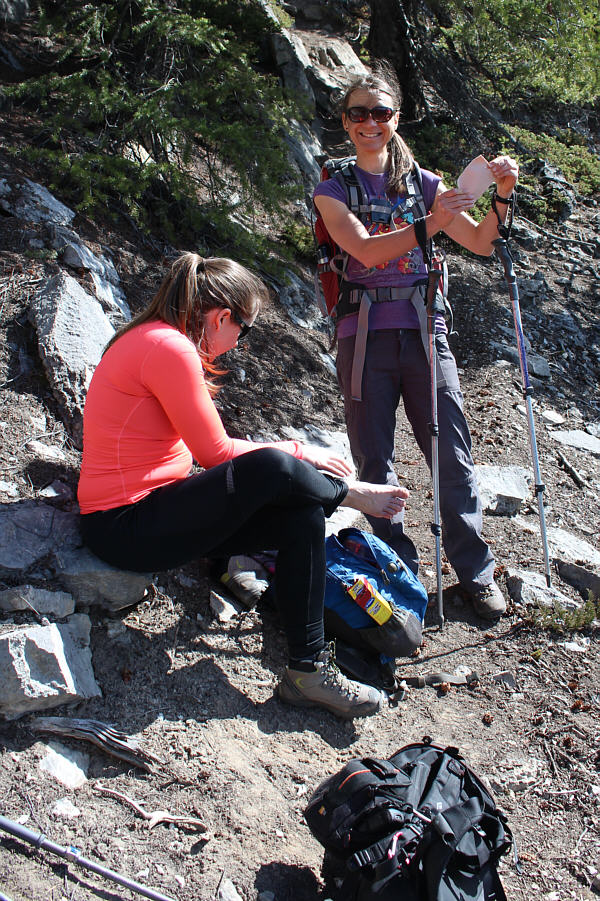
Kathleen stops to put some moleskin on her heels with Zosia assisting.
Zosia looks like she is checking for ticks... 
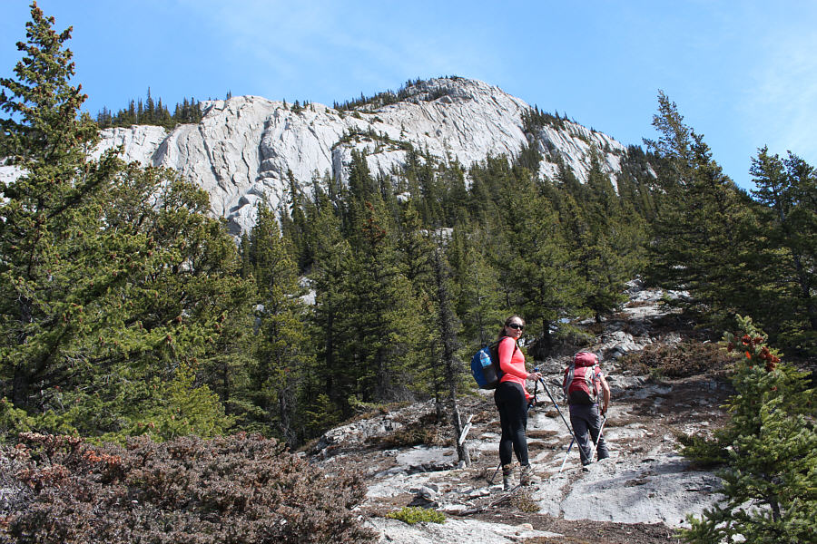
The upper cliffs come into view as Kathleen and Zosia continue to climb.
Yet another scramble to add to my to-do list! Gargoyle Mountain is visible to the north across some smooth slabs on Morro Peak.
Now we're really having fun! 
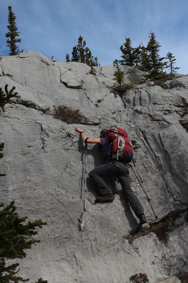
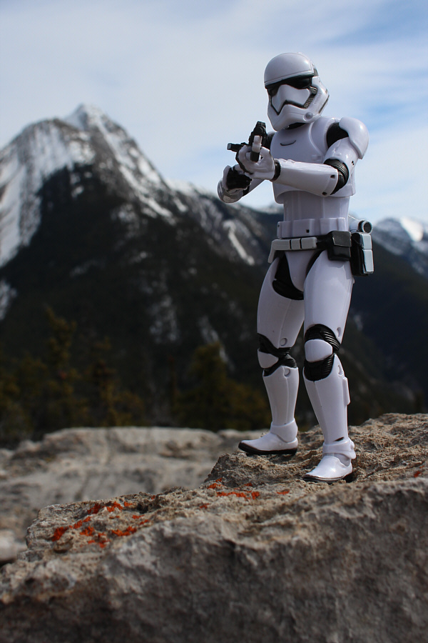
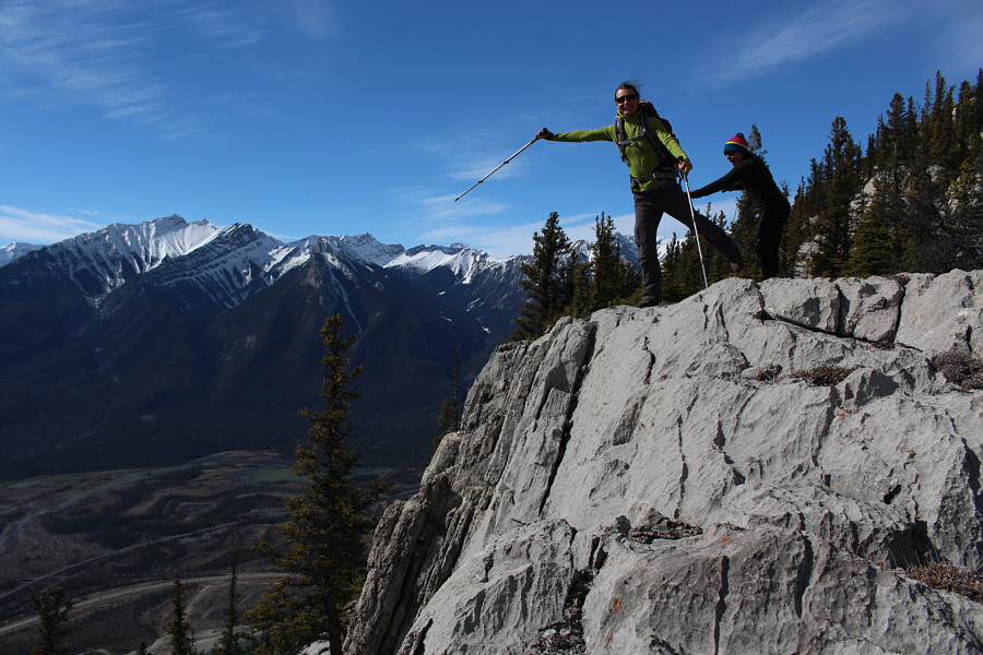
Zosia shows off her scrambling skills.
Go Kathleen! 
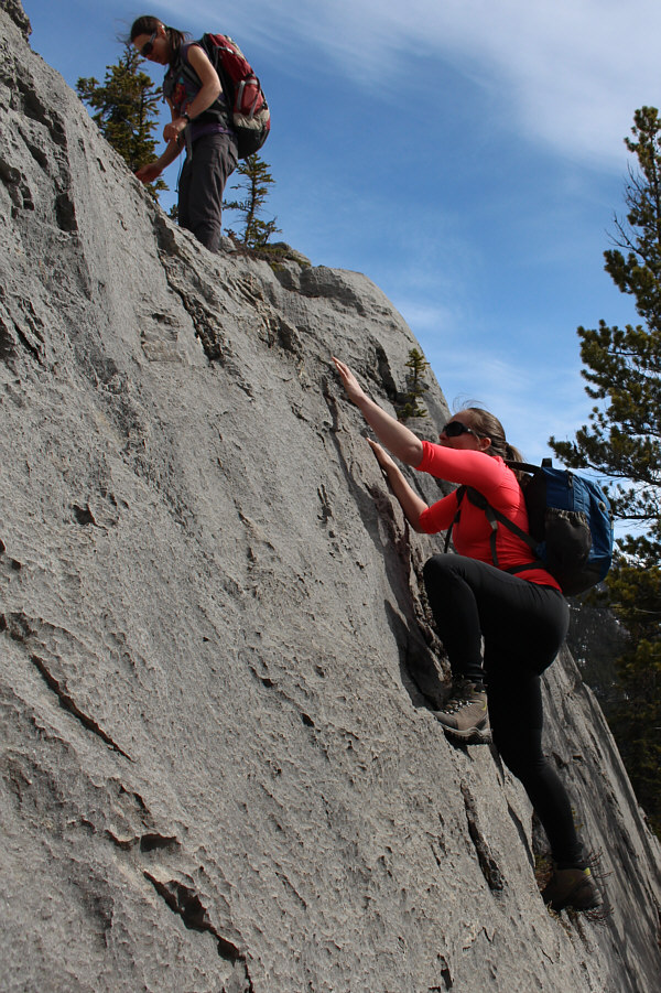
Kathleen follows Zosia up the slabs.
Zosia looks like she is about to toss the Ten Commandments! Kathleen, Zosia and Sonny stand on the 1676-metre summit of Morro Peak.  Behind them is Hawk Mountain.
Dust to dust... 
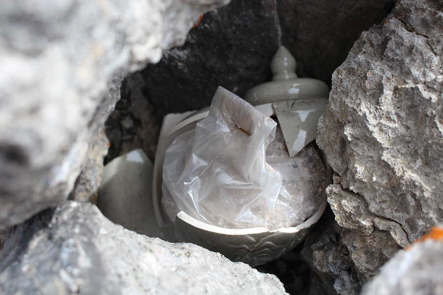
This broken urn sits in another cairn away from the summit.
I can still hear that bear's roar... Here is an unobstructed view of Hawk Mountain.

That east ridge of Mount Edith Cavell doesn't look so steep from here...

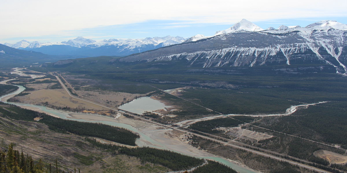
The view to the south includes Mount Edith Cavell (left), Pyramid Mountain (right) and the confluence of Snaring River and Athabasca River.


One of the best bike and hikes in the area. Here is a closer look at the north face of Pyramid Mountain.
Just kidding...Kathleen would never hold anyone back! Kathleen tries to hold Zosia back from jumping over a cliff.
This was our turn-around spot along the Overlander Trail. 
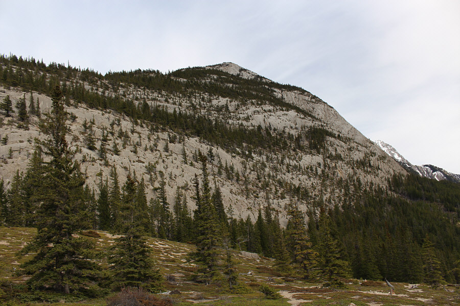
Here is a more comprehensive view of Morro Peak's southwest face from the Overlander Trail.
Hmmm...these bighorn sheep climb better than I do! 
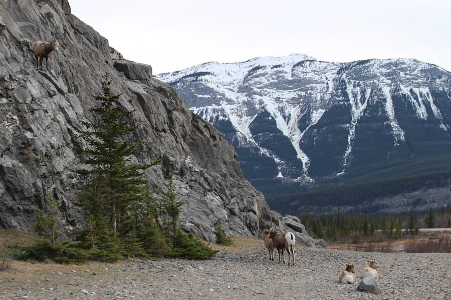
A bighorn sheep looks down on its mates from the cliff face.
Chicas! 
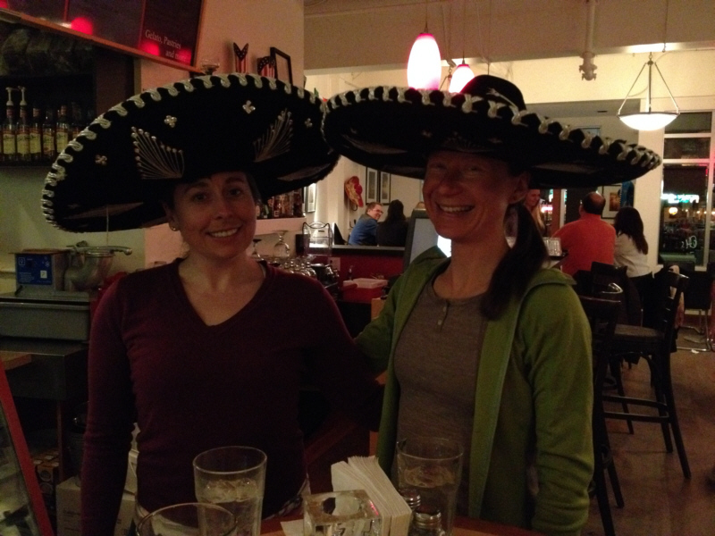
Kathleen and Zosia knock sombreros at Cafe Mondo.
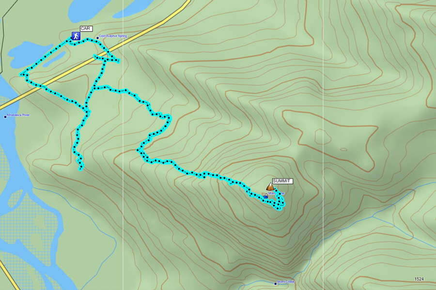
The map is a little off here, but the GPS track is accurate...trust me! Total Distance:  8.5 kilometres
Round-Trip Time:  5 hours 20 minutes
Total Elevation Gain:  698 metres

GPX Data