Photo courtesy of Zosia Zgolak
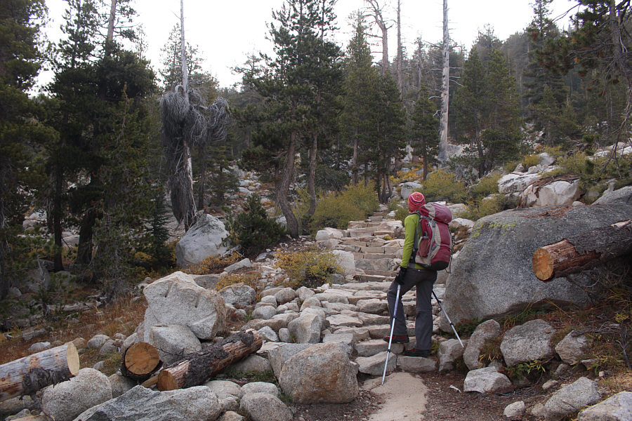
Zosia climbs up some well-constructed steps on the way up a low ridge before the junction to Sunset Lakes.
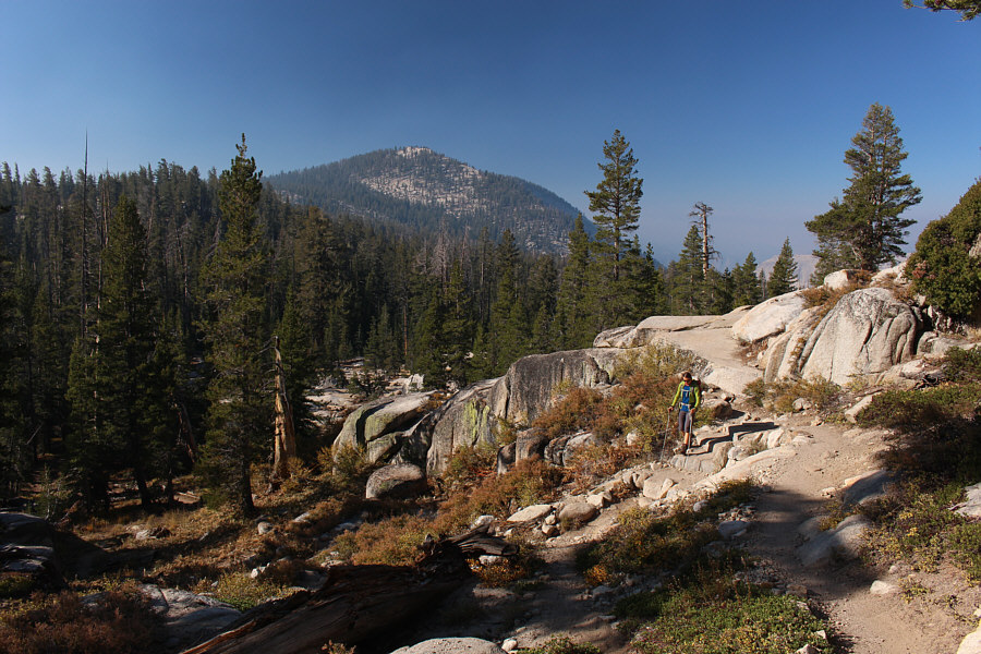
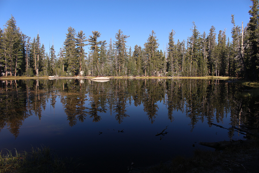
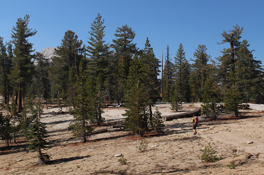

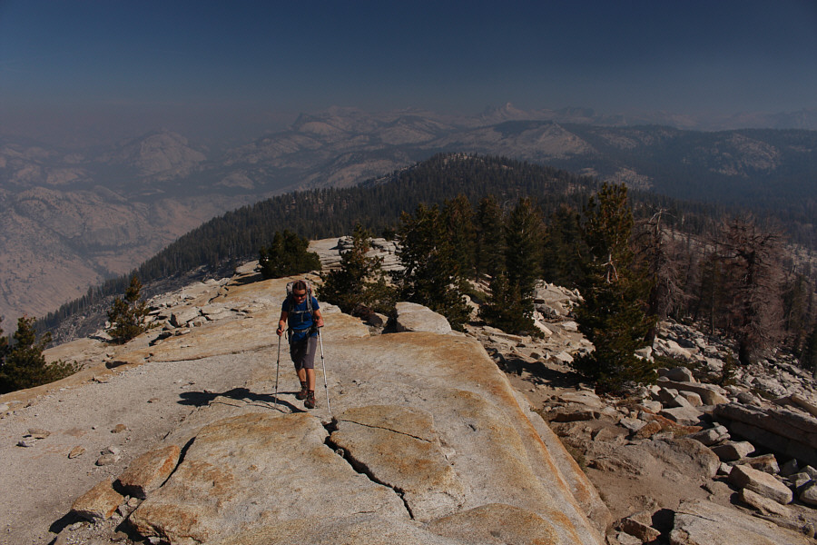
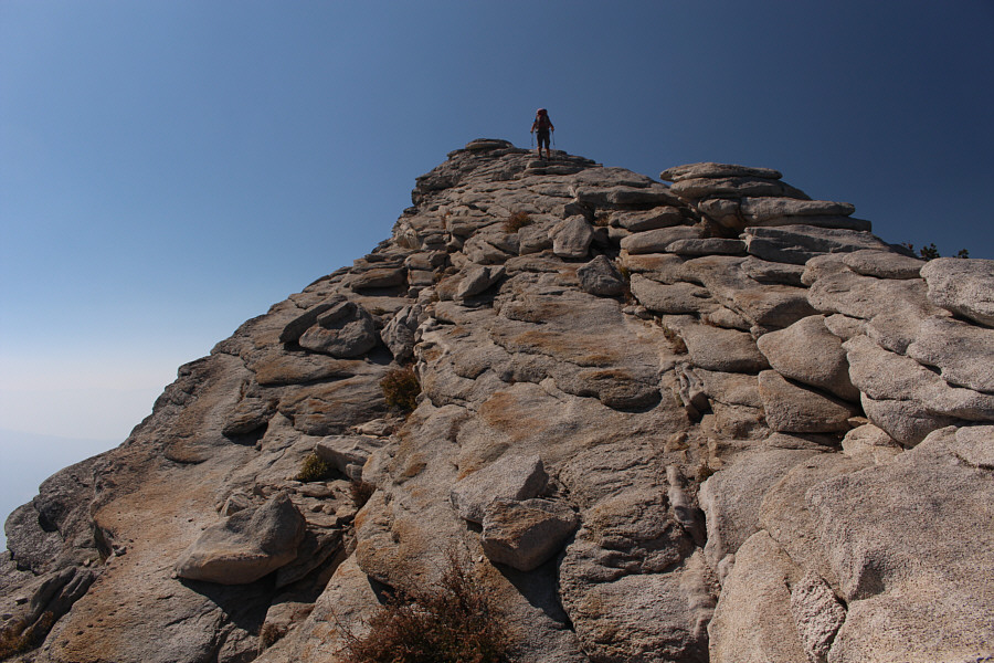

Photo courtesy of Zosia Zgolak

|
|
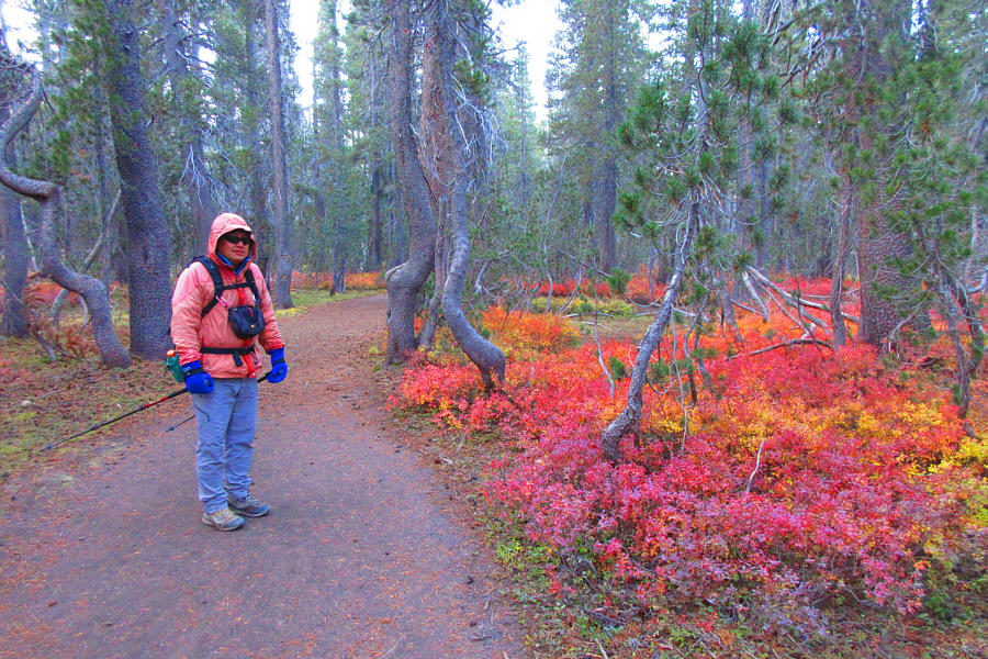
Sonny is looking a bit cold as he
starts along the trail to Clouds Rest. Photo courtesy of Zosia Zgolak |
|
|
Zosia passes to the left of some large rocks beside the trail. The summit of Clouds Rest is barely visible in the distance at far right. |
|
|
Zosia climbs up some well-constructed steps on the way up a low ridge before the junction to Sunset Lakes. |
|
|
Zosia descends the south side of the low ridge just past the junction to Sunset Lakes. |
|
|
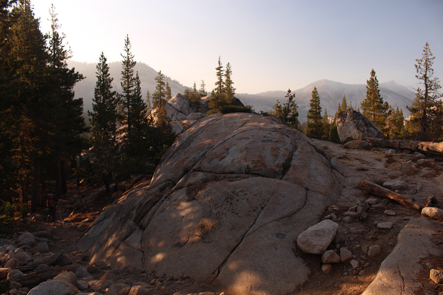
This unnamed tarn is located at about the halfway point of the hike. |
|
|
The trees begin to thin out as Zosia approaches the summit block of Clouds Rest which is just visible behind the trees at far left. |
|
|
Zosia gains the north ridge of the summit block. |
|
|
View open up behind Zosia as she clears the last of the trees. |
|
|
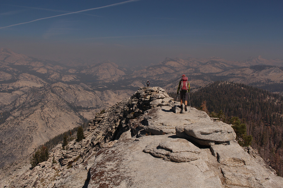
The final pull up to the summit feels a little airy. |
|
|
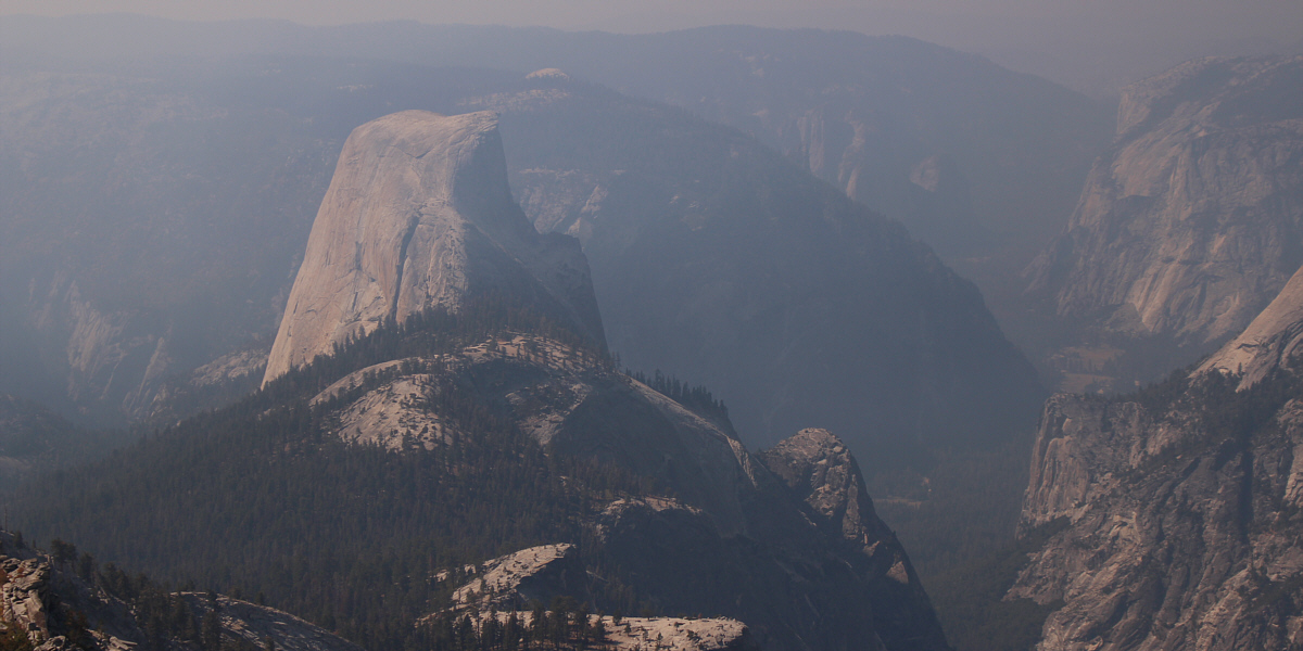
Zosia and Sonny stand near the summit of Clouds Rest (3025 metres)
with iconic Half Dome behind them. Photo courtesy of Zosia Zgolak |
|
|
Mount Hoffmann (left) and Tuolumne Peak (right of centre) are the most visible landmarks to the north. |
|
|
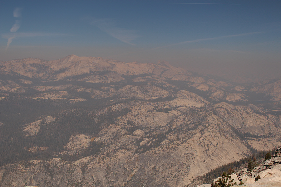
Notable landmarks to the southeast include pointy Mount Clark and Merced River Gorge (bottom centre). |
Half Dome and Yosemite Valley garner all the attention to the southwest. Sentinel Dome (small white cap) is also visible behind Half Dome.
 |
Zosia leaves the summit to begin the long return trip. |
 |
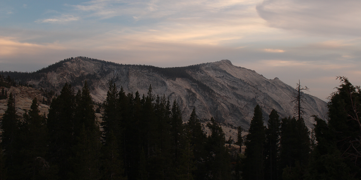
The west face of Sunrise Mountain looks brilliant in the afternoon sun. |
 |
Tuolumne Peak stands out in this view from the north side of the low ridge near the Sunrise Lakes junction. |
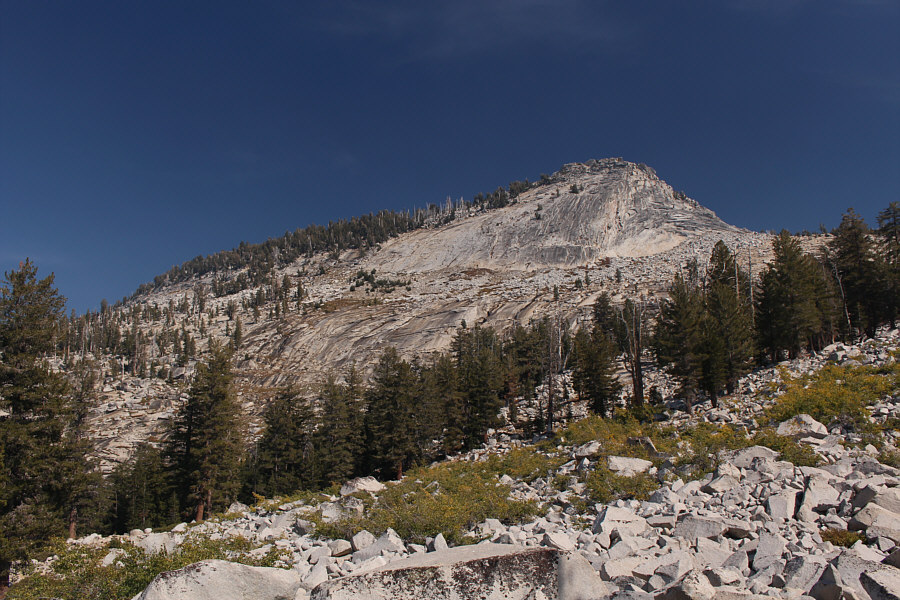
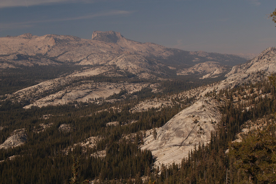
Here is a more comprehensive view of Clouds Rest from Highway 120.
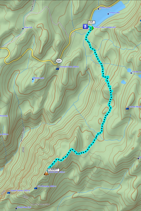 |
Total
Distance: 20.2 kilometres Round-Trip Time: 7 hours 45 minutes Total Elevation Gain: 937 metres |