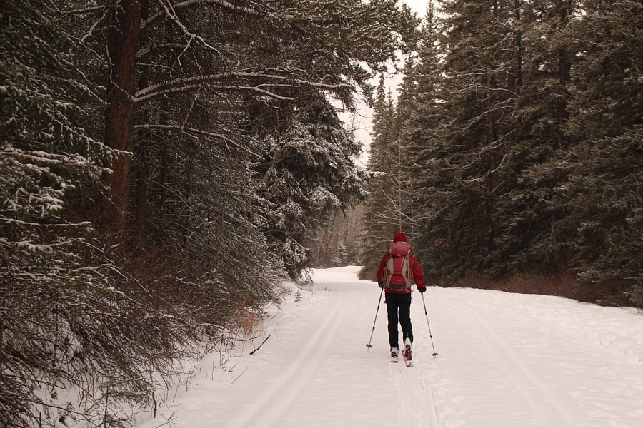


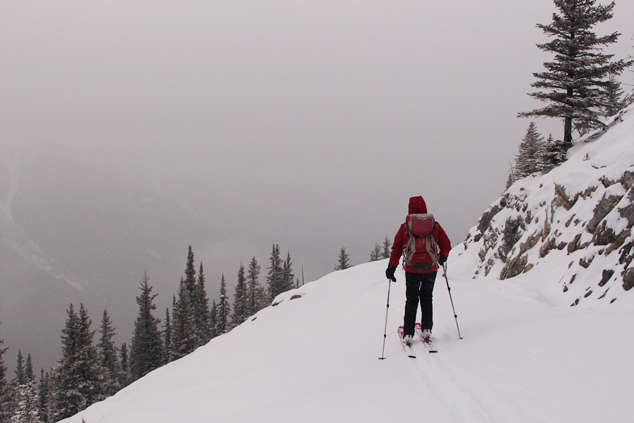
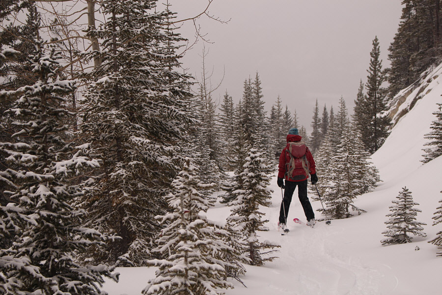
Zosia grinds her way up the road.
Photo courtesy of Zosia Zgolak

Sonny boot-packs up the boardwalk with the upper gondola terminal visible behind him.
Photo courtesy of Zosia Zgolak
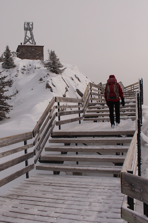

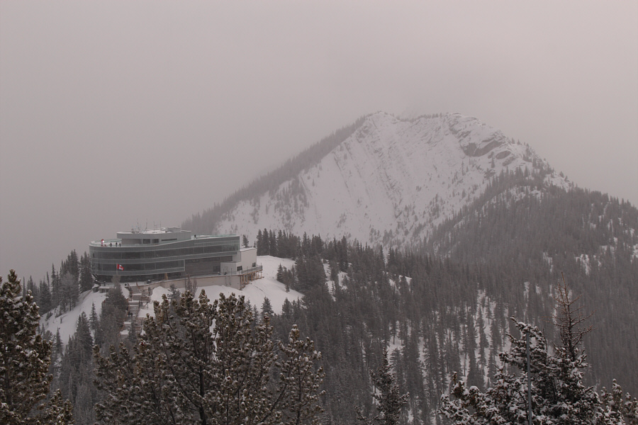
Photo courtesy of Zosia Zgolak
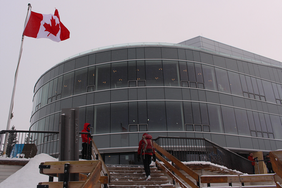

Zosia practices tying knots in the interpretive centre.

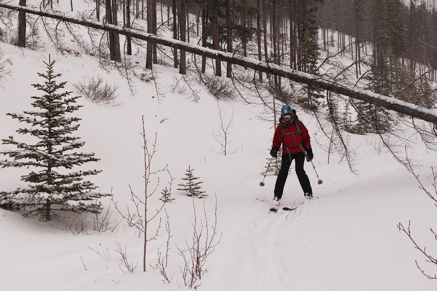
Zosia skis under a fallen tree.

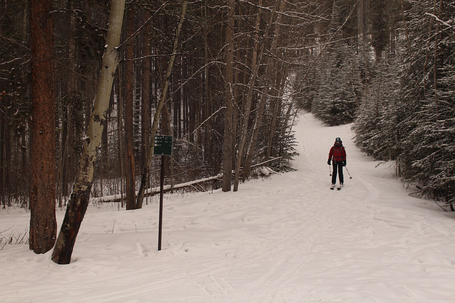
Zosia arrives back at the junction with the trail to Sundance Canyon.


Round-Trip Time: 6 hours 40 minutes
Total Elevation Gain: 1030 metres