
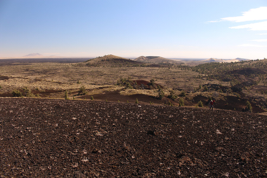
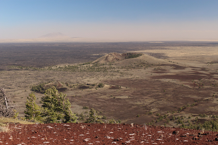
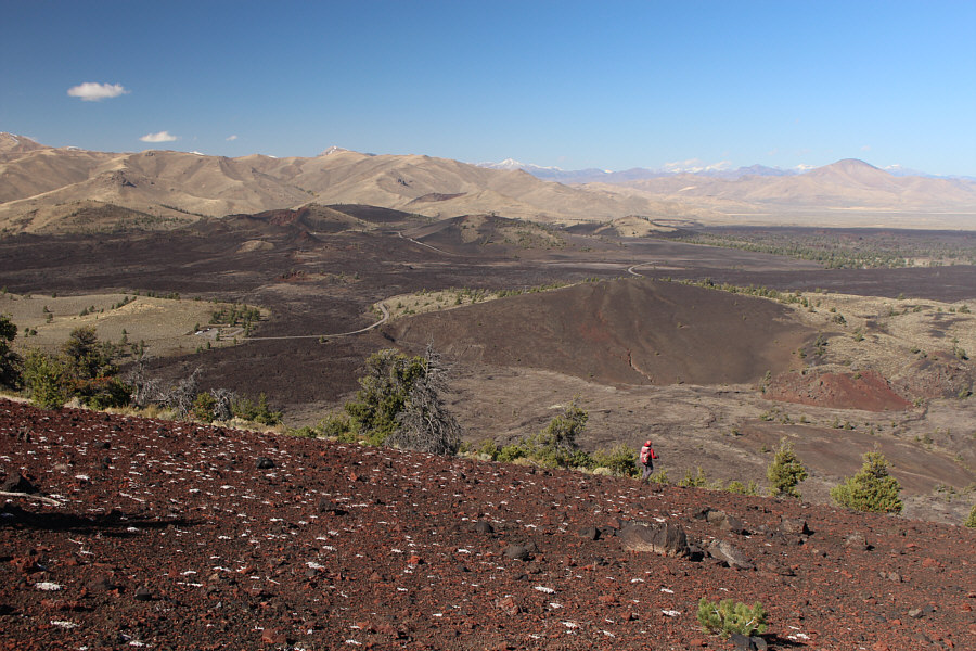
To the southeast is the Craters Of The Moon Wilderness Area. At centre are Half Cone and Crescent Butte. Visible on the horizon at left is Big Southern Butte.
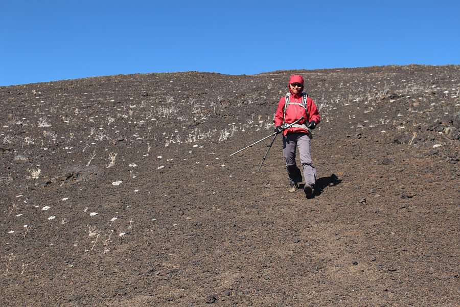
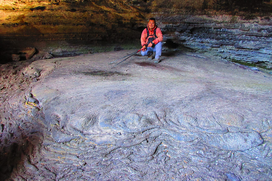
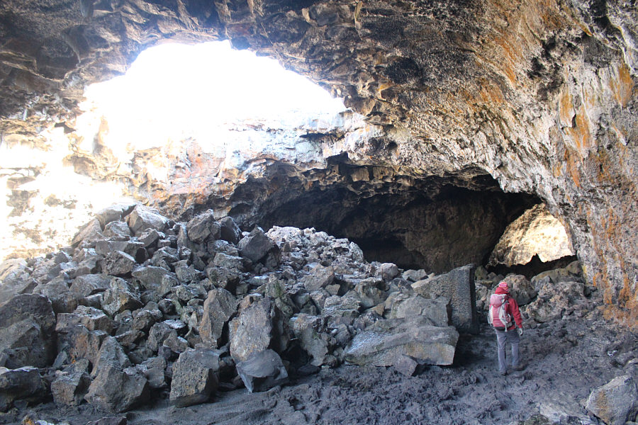
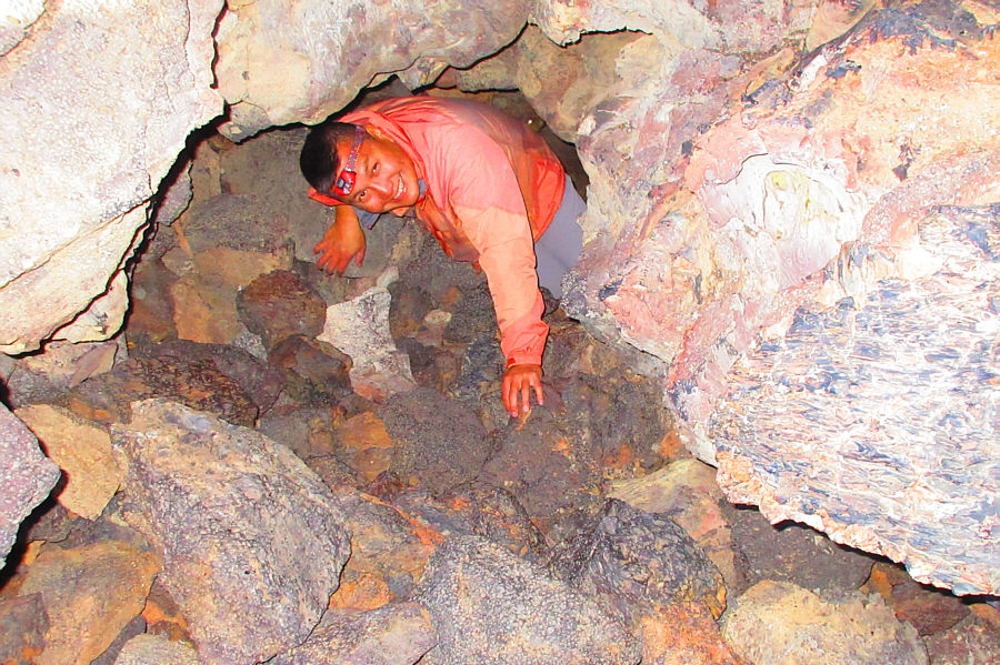
Photo courtesy of Zosia Zgolak


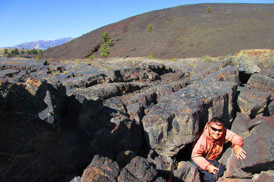
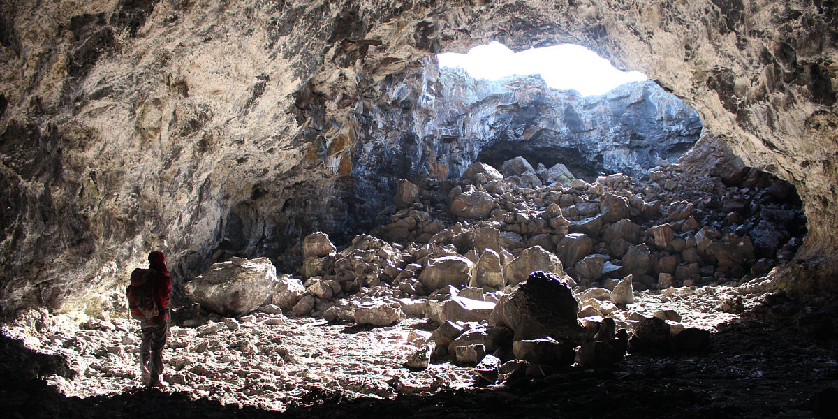
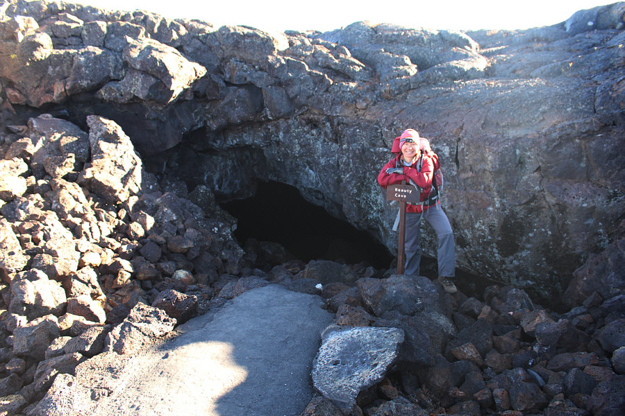
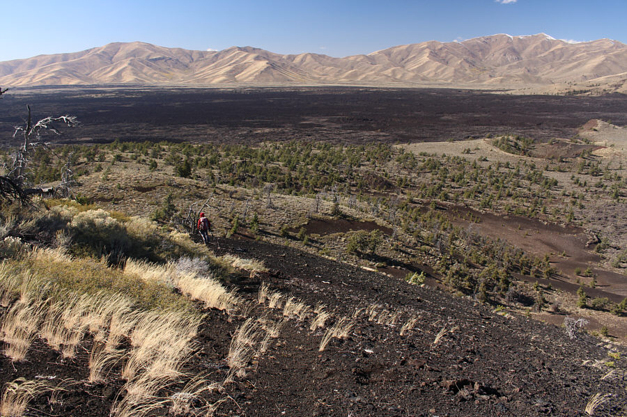
Photo courtesy of Zosia Zgolak
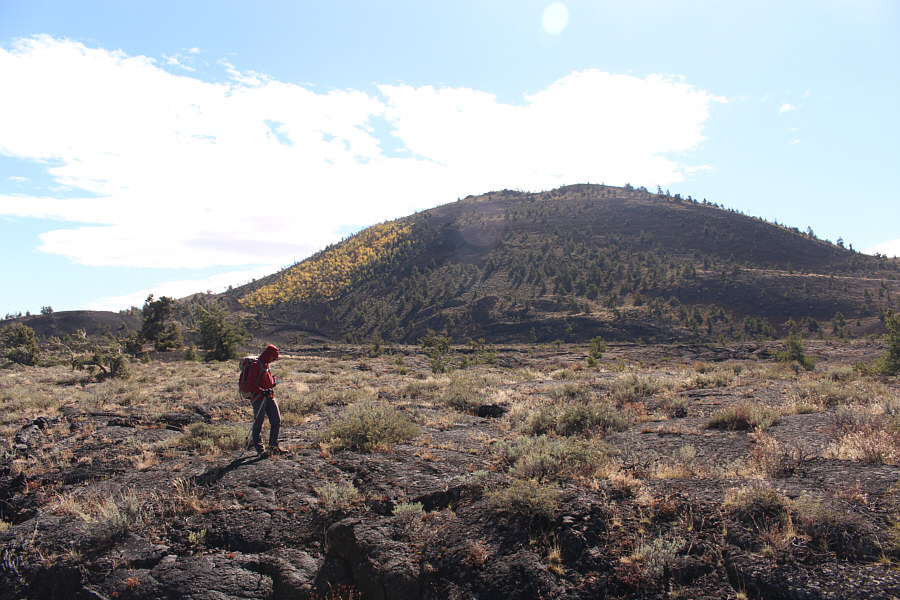
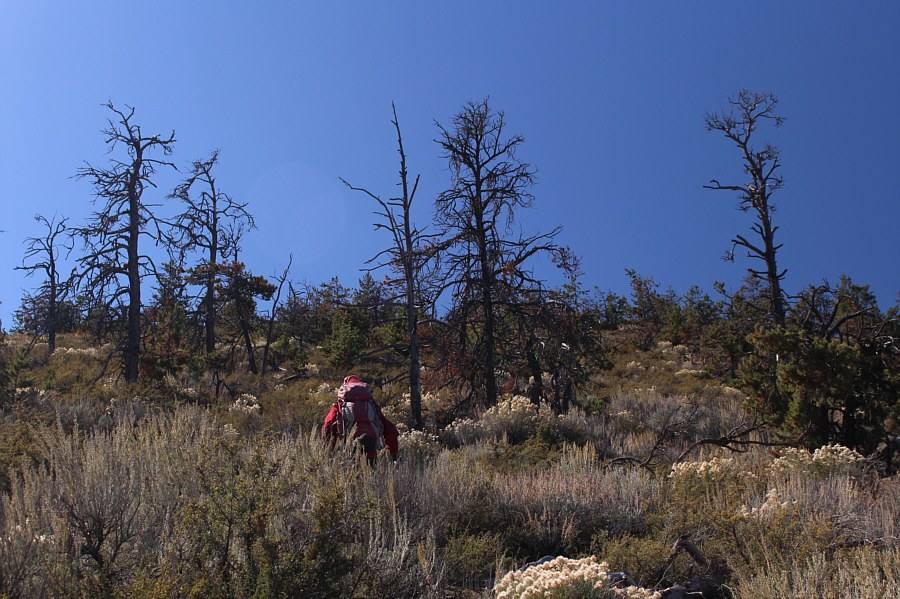
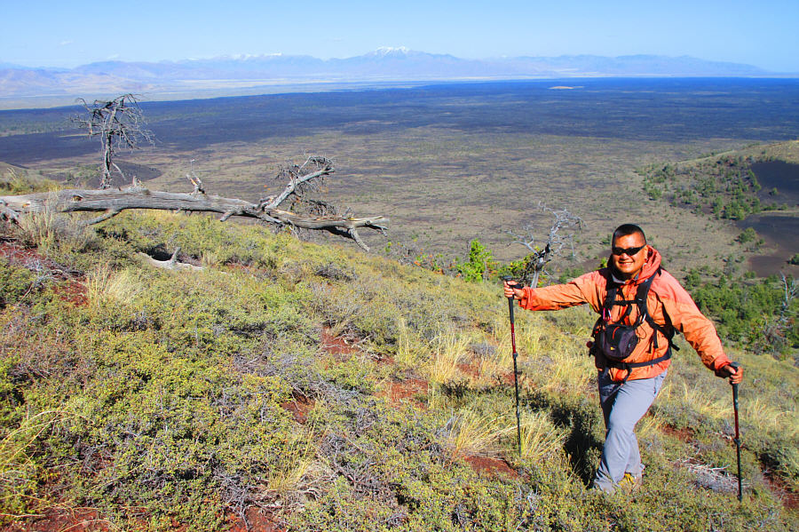
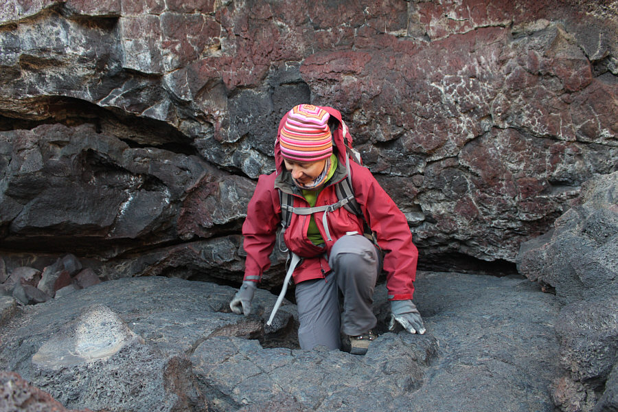
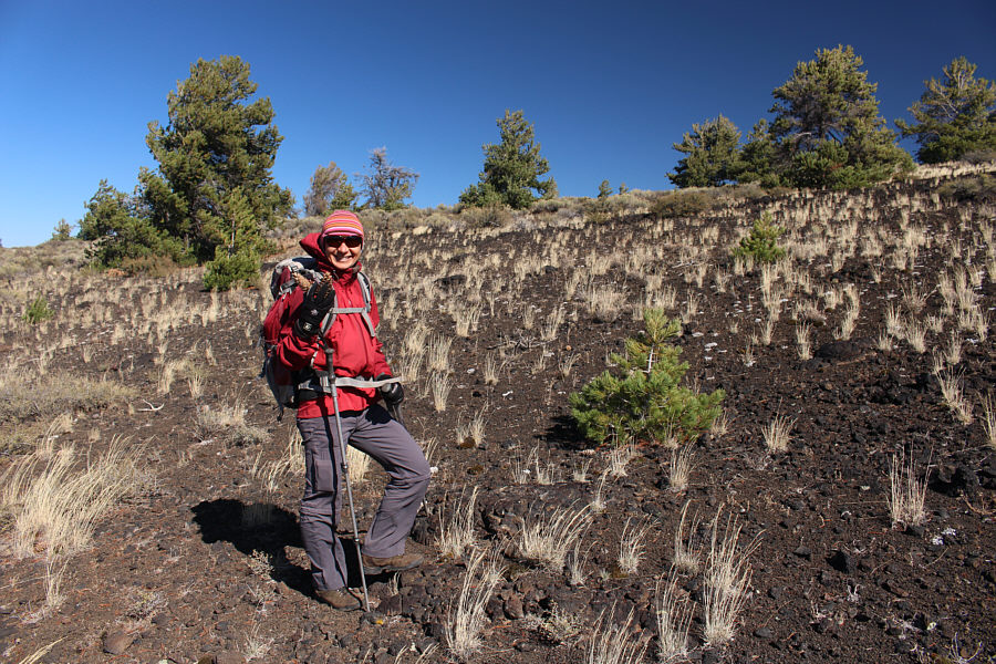
Photo courtesy of Zosia Zgolak
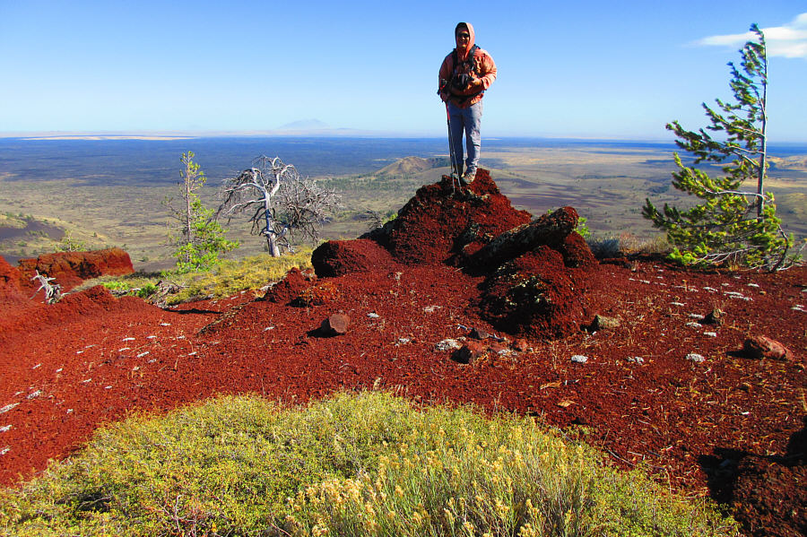
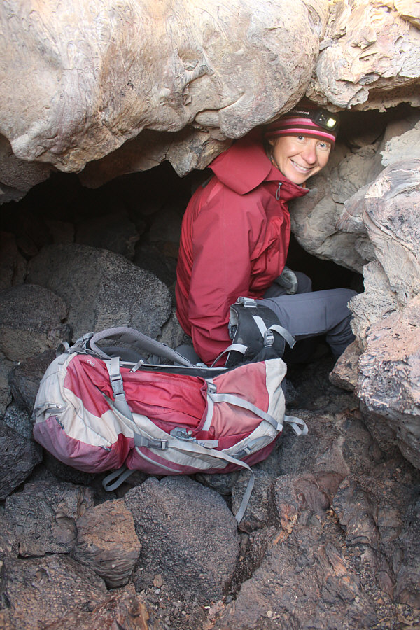
Photo courtesy of Zosia Zgolak

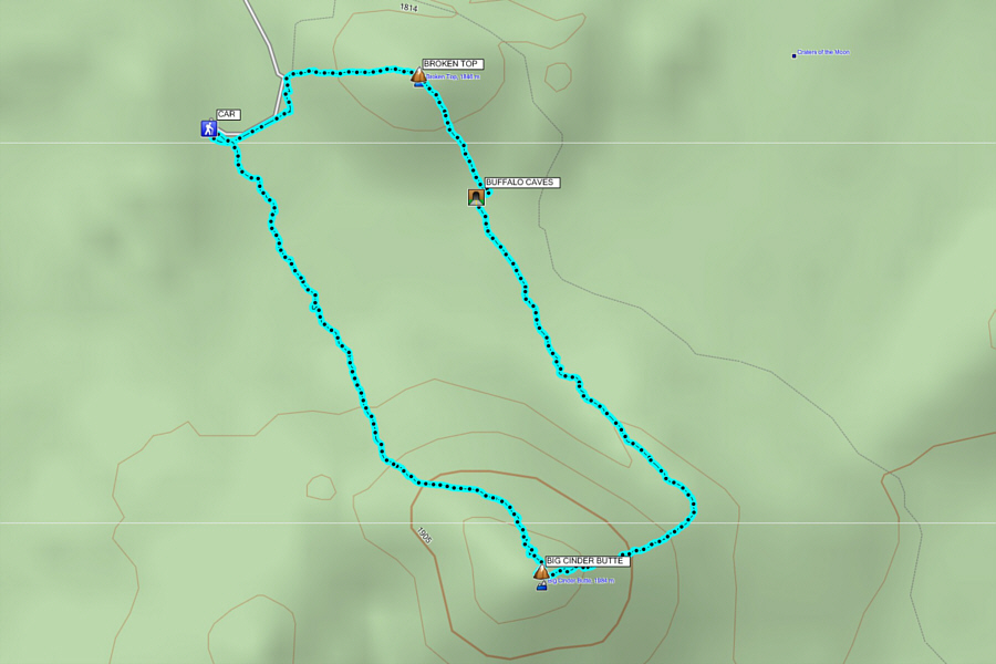
Round-Trip Time: 2 hours 37 minutes
Net Elevation Gain to Broken Top: 70 metres
Net Elevation Gain to Big Cinder Butte: 205 metres