

A Skyride gondola leaves the station to descend to the bottom of the mountain.
Photo courtesy of Zosia Zgolak
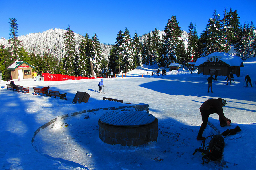
Photo courtesy of Zosia Zgolak


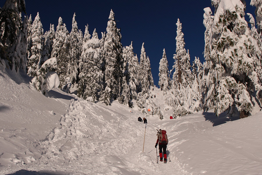
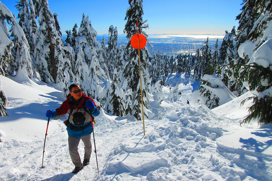
Photo courtesy of Zosia Zgolak


|
|
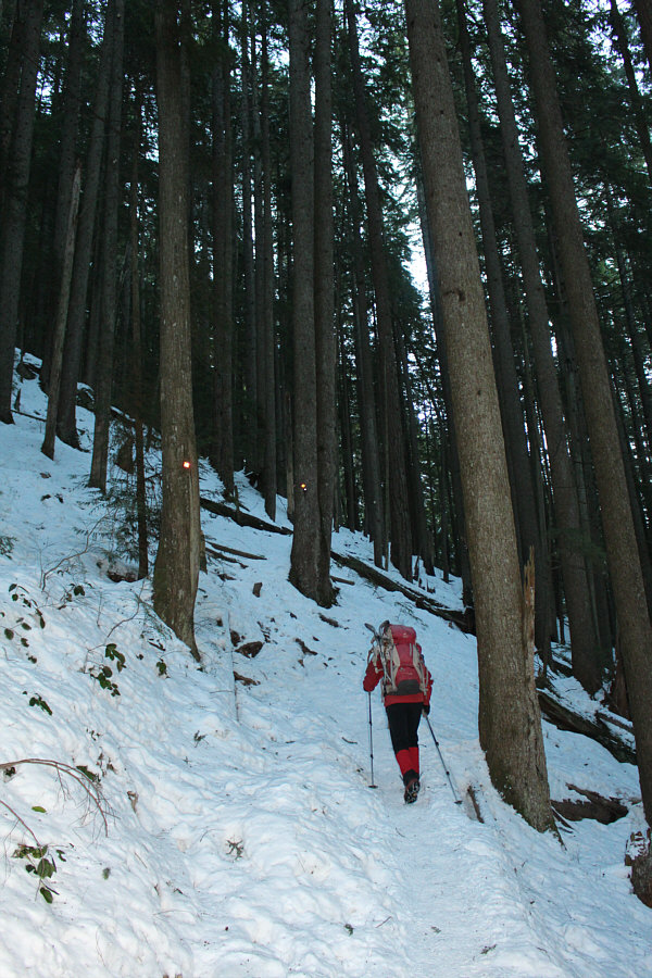
Zosia hikes up the BCMC Trail. |
|
|
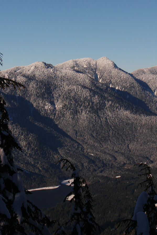
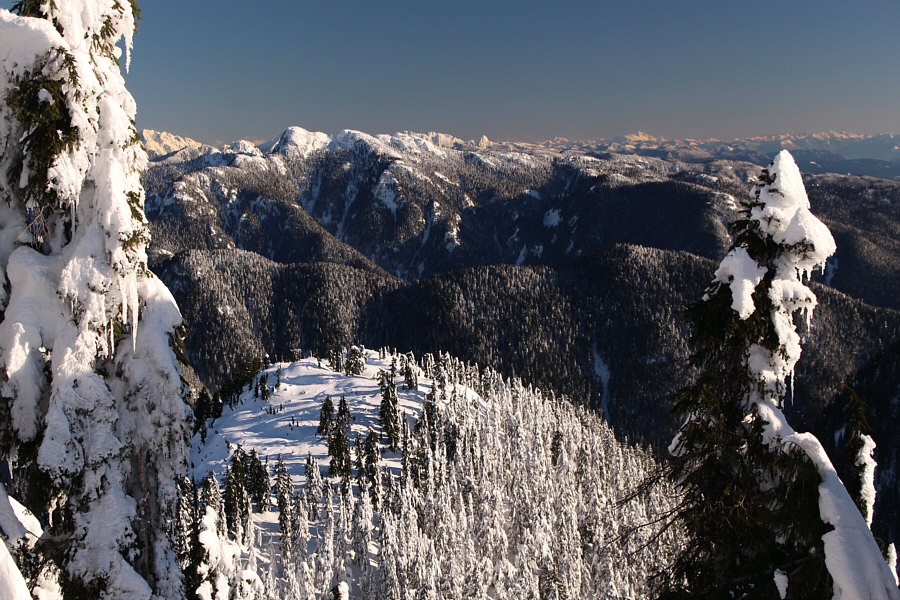
A break in the trees grants this view of Hollyburn Mountain (left), Mount Strachan, and Capilano Lake. |
|
|
Zosia and Bill arrive at the Grouse Mountain chalet. |
|
|
A Skyride gondola leaves the station to descend to the bottom of the mountain. Photo courtesy of Zosia Zgolak |
|
|
Bill readjusts his ice cleats beside
the skating rink near the chalet. Dam Mountain is visible at
left. Photo courtesy of Zosia Zgolak |
|
|
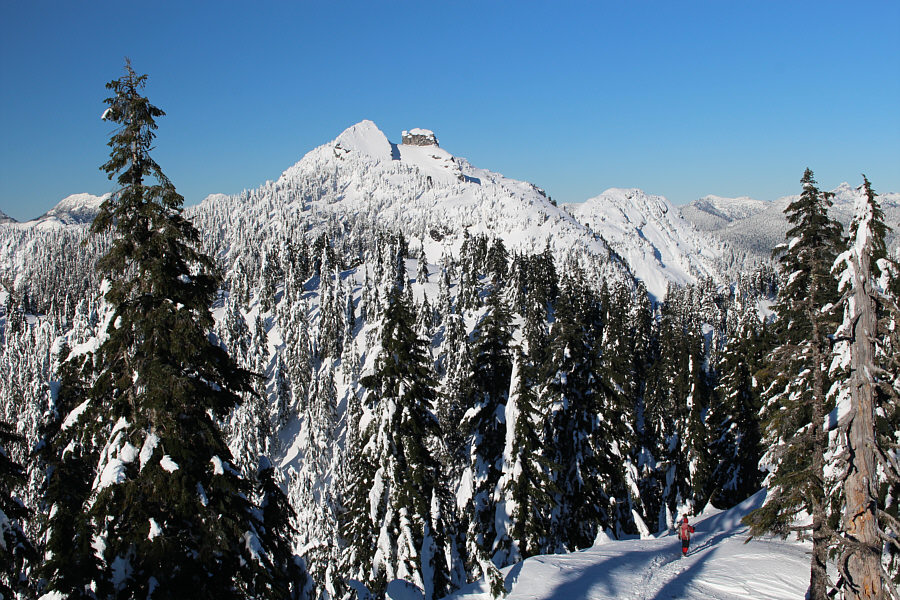
Zosia and Bill make their way through the ski area to access Dam Mountain (left). At right is the summit of Grouse Mountain and the top of the ski resort. |
|
|
This is the snow-covered home of two orphaned grizzly bears that have inhabited the Grouse Mountain wildlife refuge since 2001. |
|
|
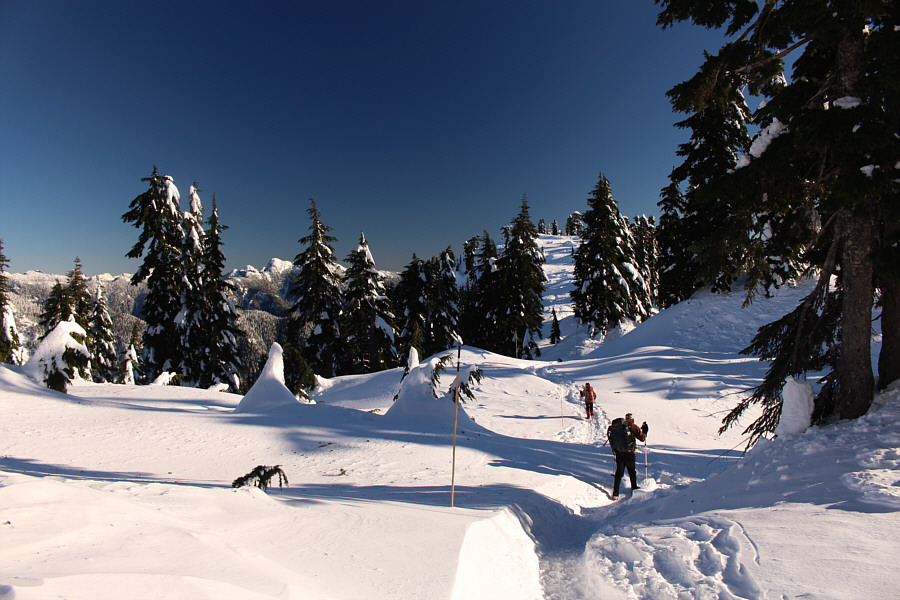
Zosia and Bill follow the wide "Snowshoe Grind" toward Dam Mountain. |
|
|
Zosia climbs up a steep section. |
|
|
Sonny passes a marker wand along the
"Snowshoe Grind". Photo courtesy of Zosia Zgolak |
|
|
Bill and Zosia hike past the last couple of trees before the summit. |
|
|
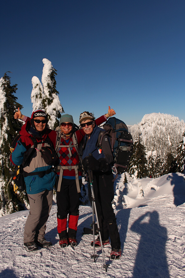
Sonny, Zosia and Bill stand on the summit of Dam Mountain (1347 metres). |
|
|
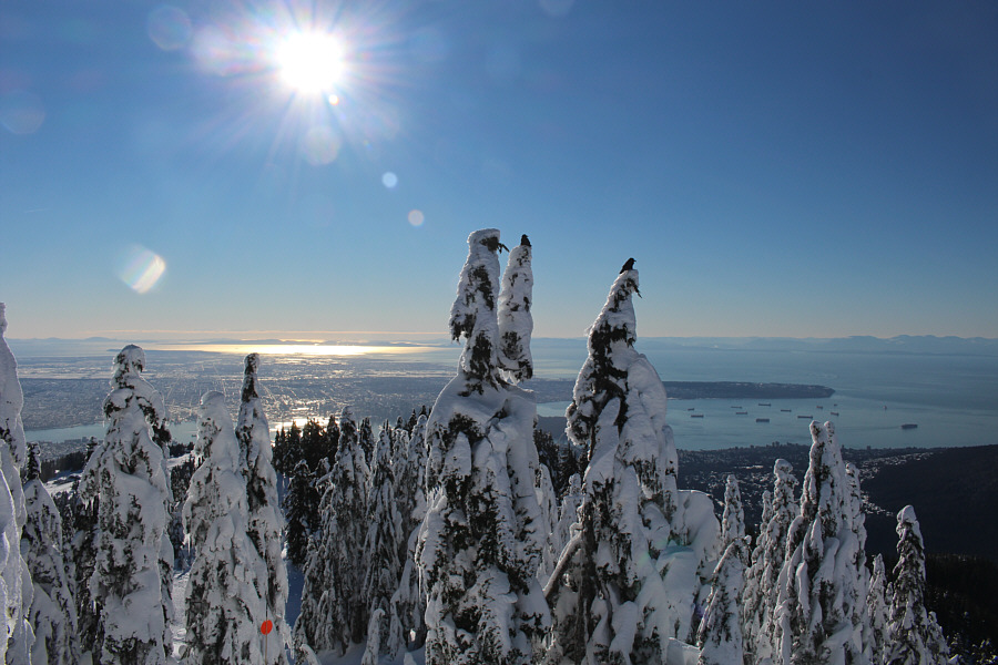
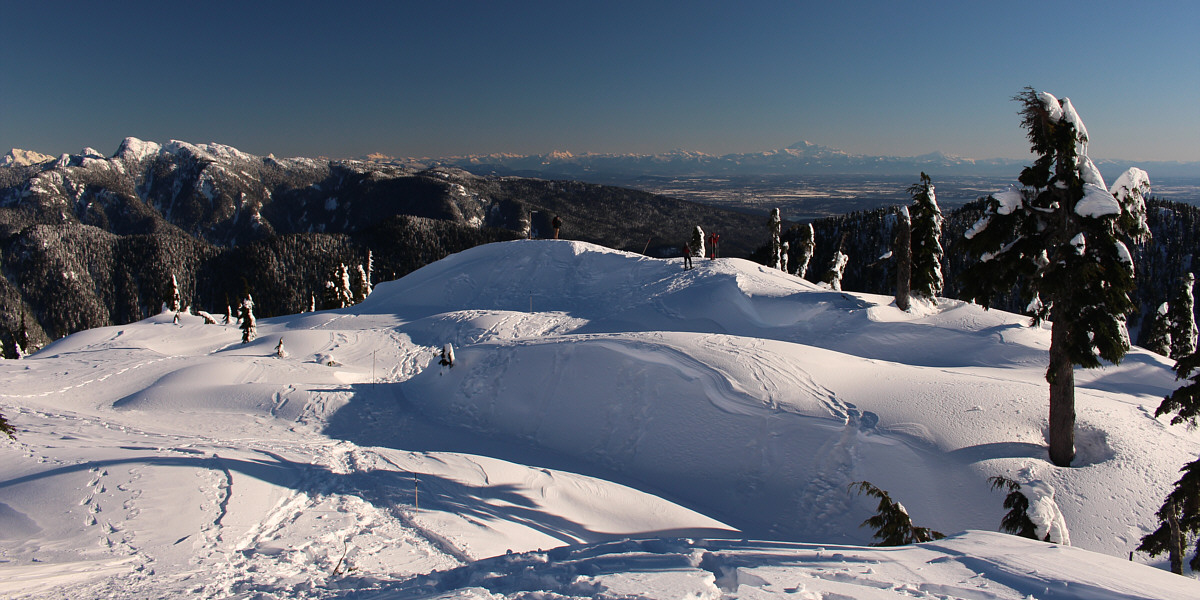
The view to the south includes supertankers crowding Burrard Inlet. |
|
|
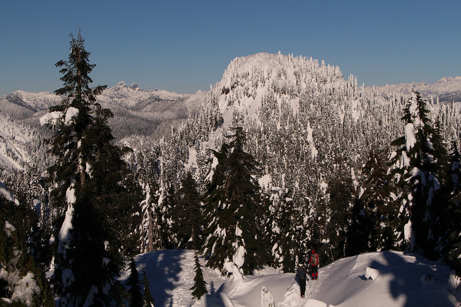
Bill and Zosia drop down the north side of Dam Mountain with Goat Mountain directly ahead. |
|
|
From the summit of Dam Mountain, Thunderbird Ridge (bottom) can be seen through a break in the trees to the east. |
|
|
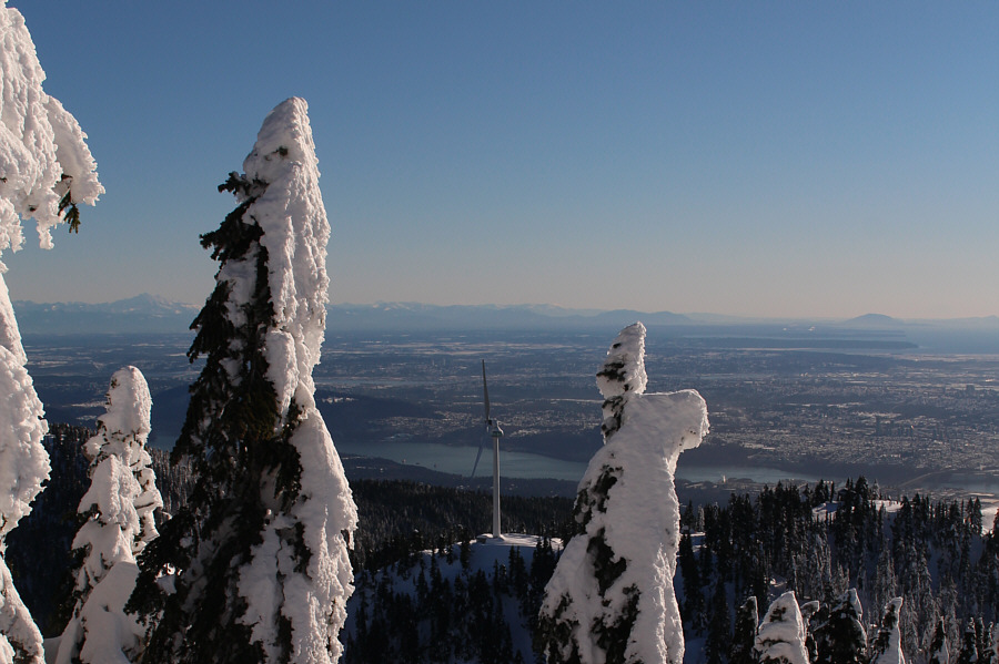
The nearby Eye of the Wind is a combination of a wind turbine and a tourist observation deck. It is anticipated to generate 25% of the electricity needed by Grouse Mountain resort. |
|
|
The view to the west includes (L to R) Beauty Peak, The Lions, Mount Harvey and Brunswick Mountain. |
|
|
Crown Mountain and The Camel look very alluring to the northwest. |
|
|
Zosia and Bill follow the packed trail along Thunderbird Ridge. |
The marked trail ends at this open area just beyond the high point of Thunderbird Ridge (1247 metres).
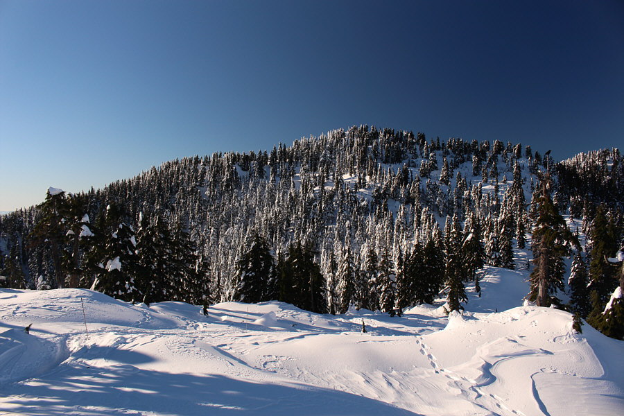 |
This is looking up at Dam Mountain from the high point of Thunderbird Ridge. |
 |
From L to R are Crown Mountain, The Camel, Spindle Peak and Goat Mountain. |
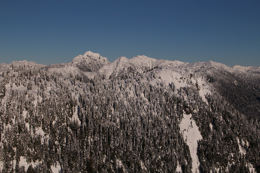 |
Cathedral Mountain is the most striking peak to the northeast. Just right of centre is Mount Burwell, and further to the right is Coliseum Mountain. |
 |
Zosia and Sonny stand beside the end-of-trail marker on Thunderbird Ridge. |
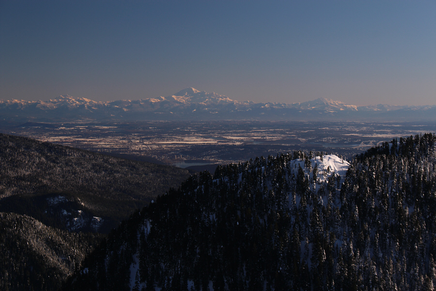 |
Washington's Mount Baker stands out on the southeastern horizon. |
 |
Total
Distance: 10.2 kilometres Round-Trip Time: 5 hours 47 minutes Net Elevation Gain to Dam Mountain: 1062 metres |