


Photo courtesy of Zosia Zgolak
|
|
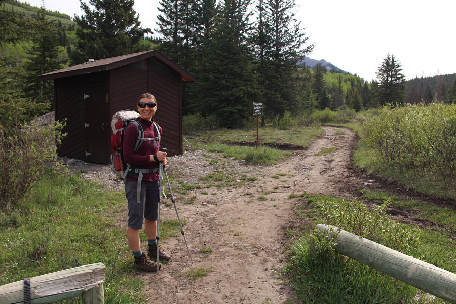
Zosia starts hiking from the Eagle Lake trailhead. |
|
|
The trail to Eagle Lake begins to drop down here to cross Eagle Creek (not visible). Directly ahead is the west ridge of Eagle Mountain. |
|
|
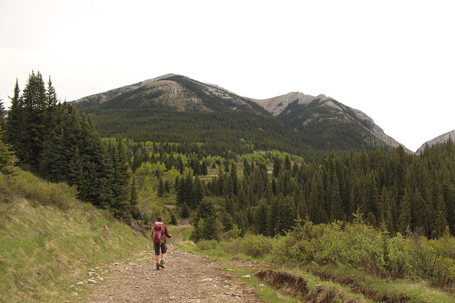
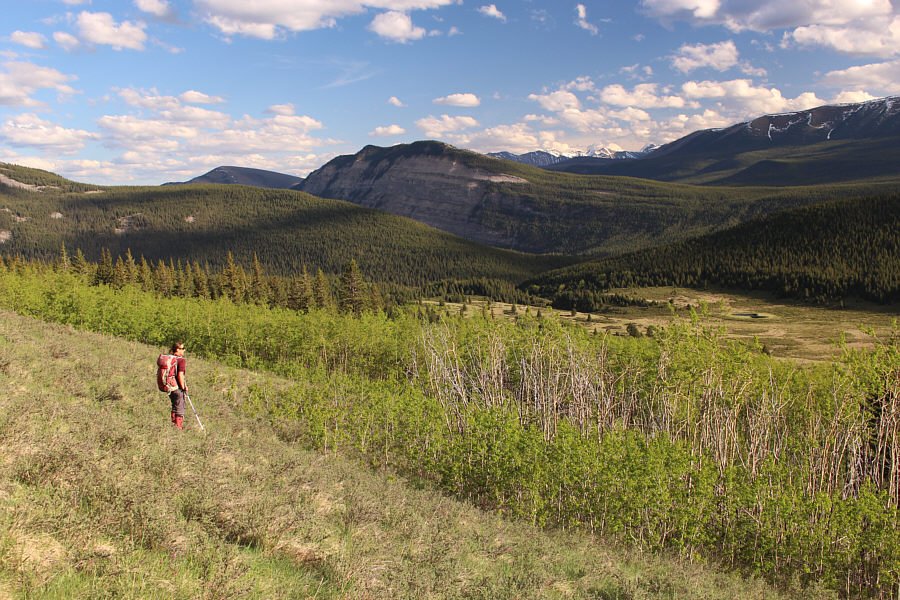
Zosia leaves the trail in an open meadow and heads for the west ridge of Eagle Mountain. |
|
|
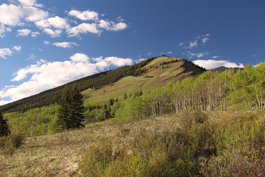
The initial climb up the west ridge of Eagle Mountain is steep but relatively bush-free. |
|
|
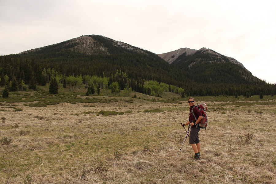
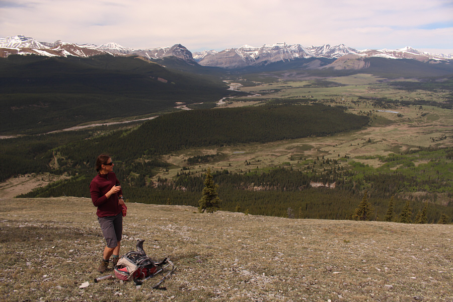
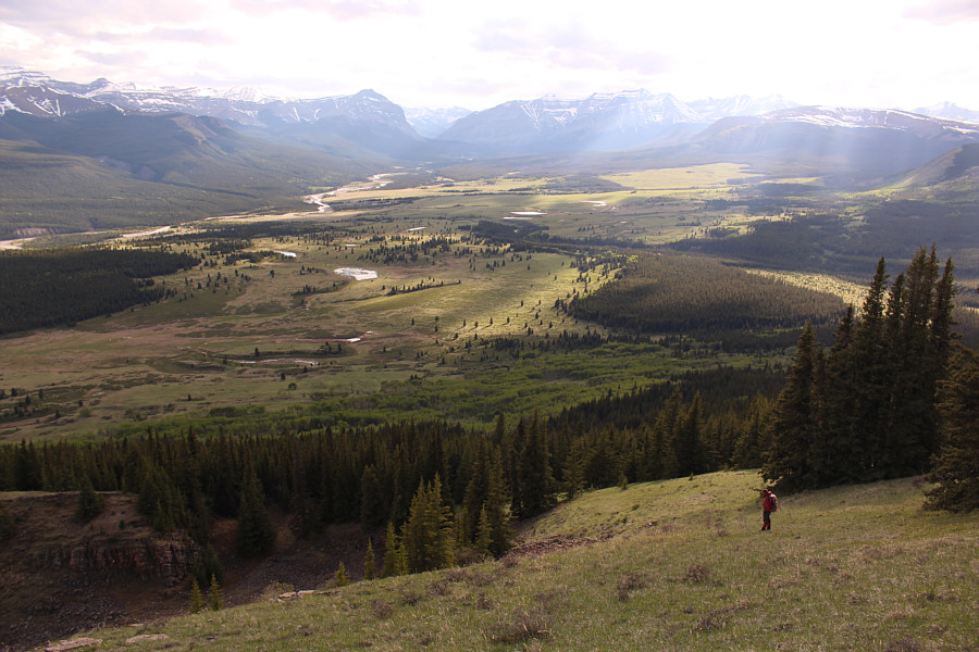
Zosia enjoys a drink while surveying the Ya Ha Tinda region. |
|
|
Rum Ridge is visible to the north. |
|
|
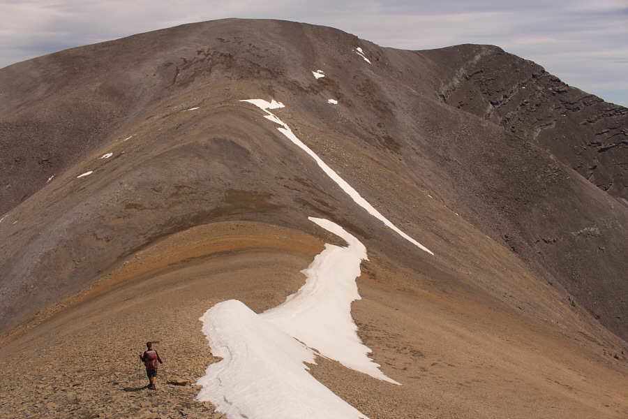
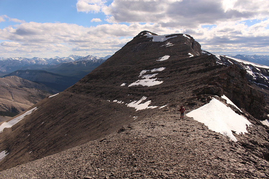
Zosia pauses on one of several bumps along Eagle Mountain's west ridge. The summit is not visible here. |
|
|
The summit of Eagle Mountain is finally within sight. |
|
|
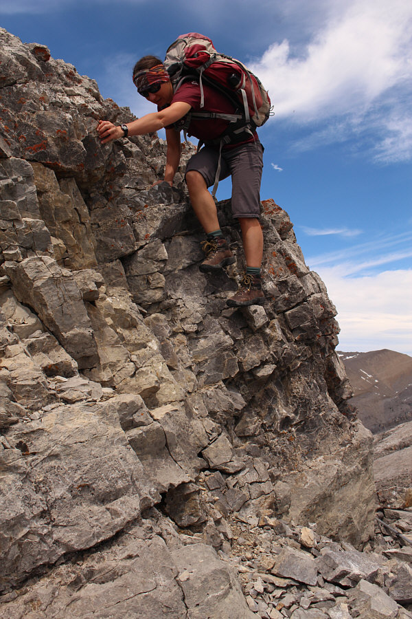
Zosia prepares to descend an awkward cliff band. |
|
|
Zosia tries to climb the Class 5 drop-off she just circumvented. |
|
|
Sonny descends yet another drop-off
along the ridge. Photo courtesy of Zosia Zgolak |
|
|
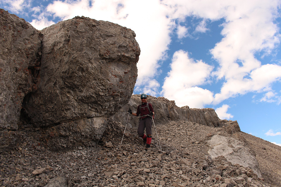
Zosia carefully checks her holds as she down-climbs the drop-off. |

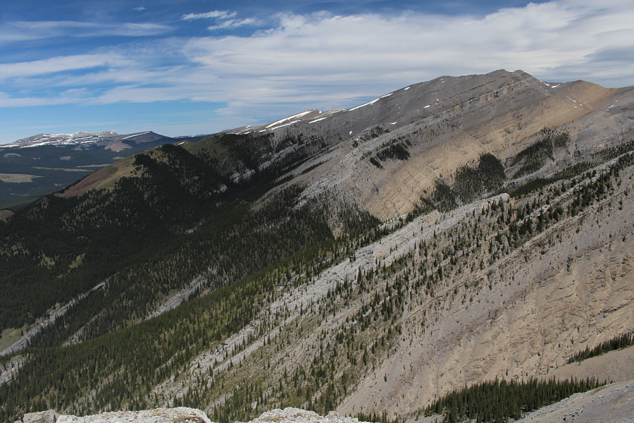
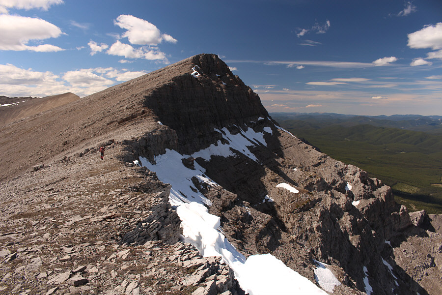
Here is a good view of the numerous short cliff bands guarding Eagle Mountain's west ridge.
 |
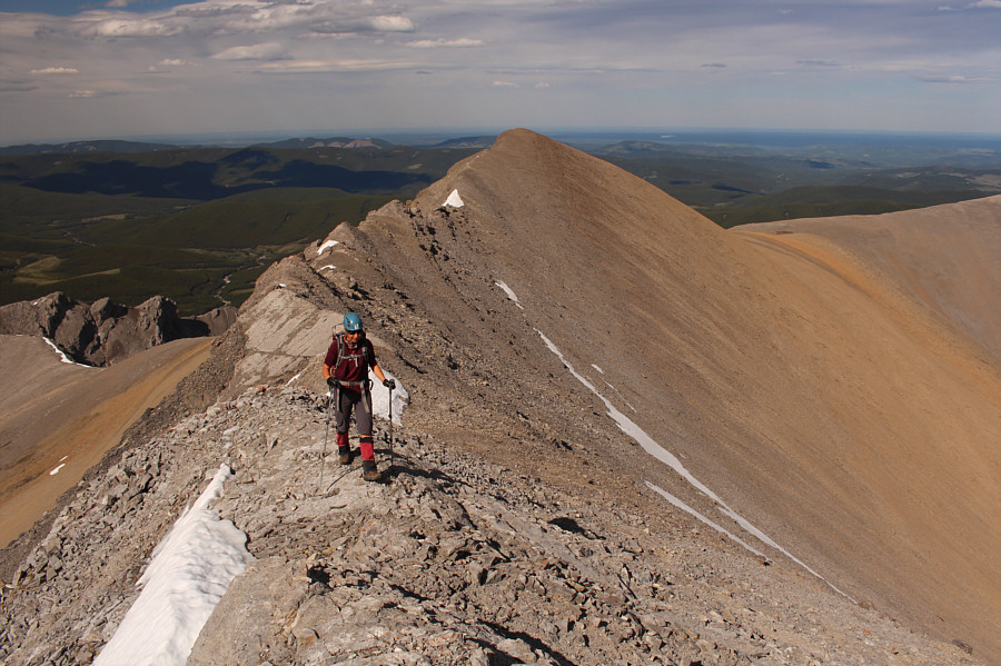
The remainder of the ascent up the west ridge is straightforward. |
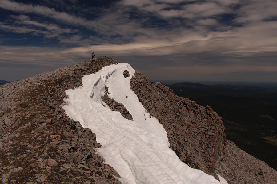 |
Zosia takes the last few steps before the summit of Eagle Mountain. |
 |
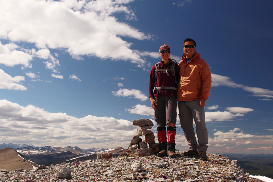
Sonny and Zosia stand on the summit of Eagle Mountain (2501 metres). |
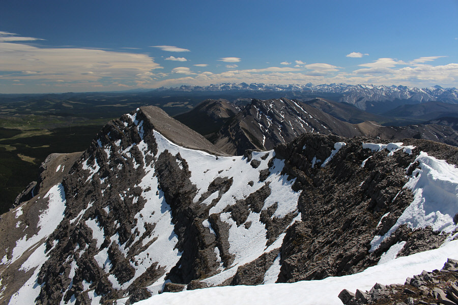 |
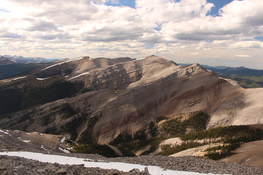
Maze Peak is just right of centre beyond the south ridge of Eagle Mountain. |
 |
Barrier Mountain (left) and Warden Rock (right) are the most recognizable peaks to the west. |
The remainder of our hike down the grassy, southwest end of Rum Ridge was not technically challenging, but it was not exactly a cake walk either. More than once, we were steered off course by some confusing horse trails, and at times, it felt like we would never get down to the valley bottom. Zosia and I were also both running low on water at this point. Thankfully, the temperature was not too hot, and between Zosia scooping up some snow higher up and me taking smaller sips, we effectively rationed the water we had left. When we finally reached the valley bottom, we found a good horse trail and followed it back to its junction with Eagle Lake trail and subsequently the trailhead.
After re-hydrating and refreshing ourselves at the trailhead, we drove to Bighorn campground near the entrance to Ya Ha Tinda Ranch to have dinner and camp for the night.
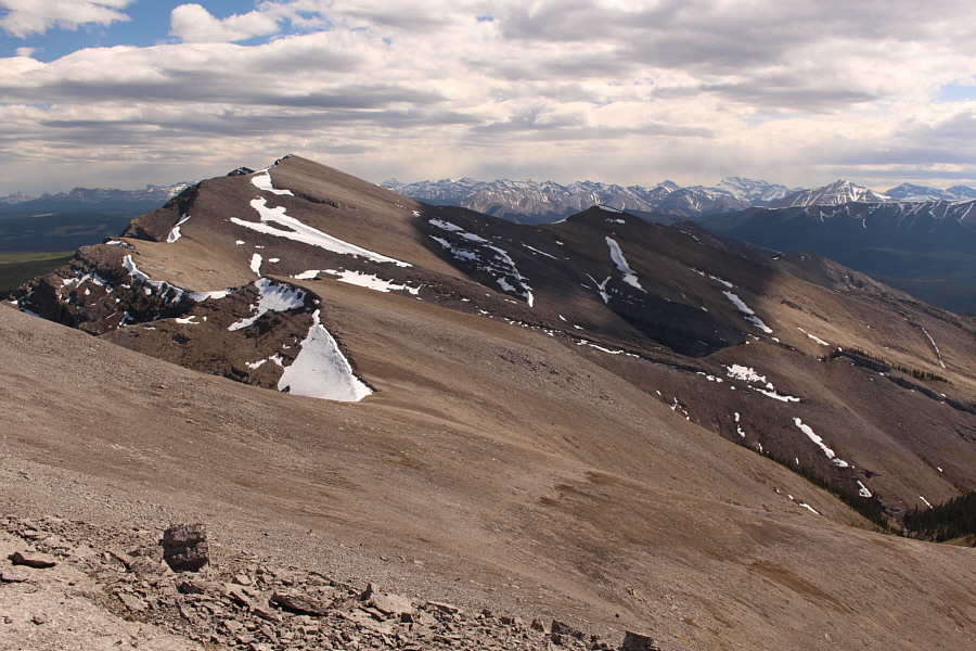
Zosia leaves the summit of Eagle Mountain to follow a succession of bumps connecting to Rum Ridge (left).
 |
Most of the traverse to Rum Ridge is nothing more than off-trail hiking. |
 |
Zosia approaches the highest bump along the connecting ridge between Eagle Mountain and Rum Ridge. |
 |
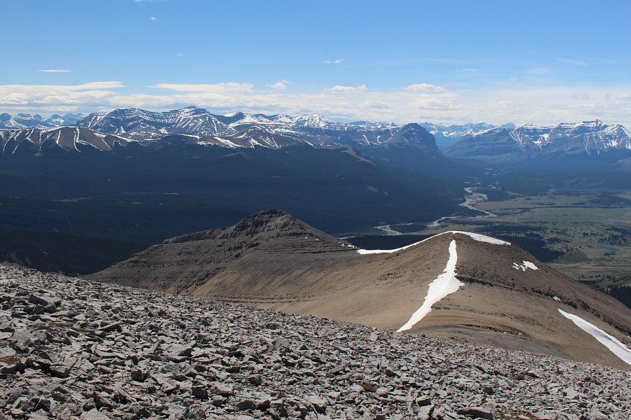
This is looking back at Eagle Mountain from partway along the traverse. |
 |
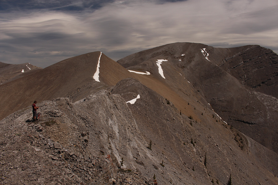
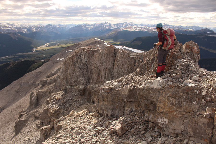
Zosia and Sonny stand beside a cairn on the highest bump along the connecting ridge between Eagle Mountain and Rum Ridge (2479 metres). |
 |
Zosia resumes her march toward Rum Ridge. |
 |
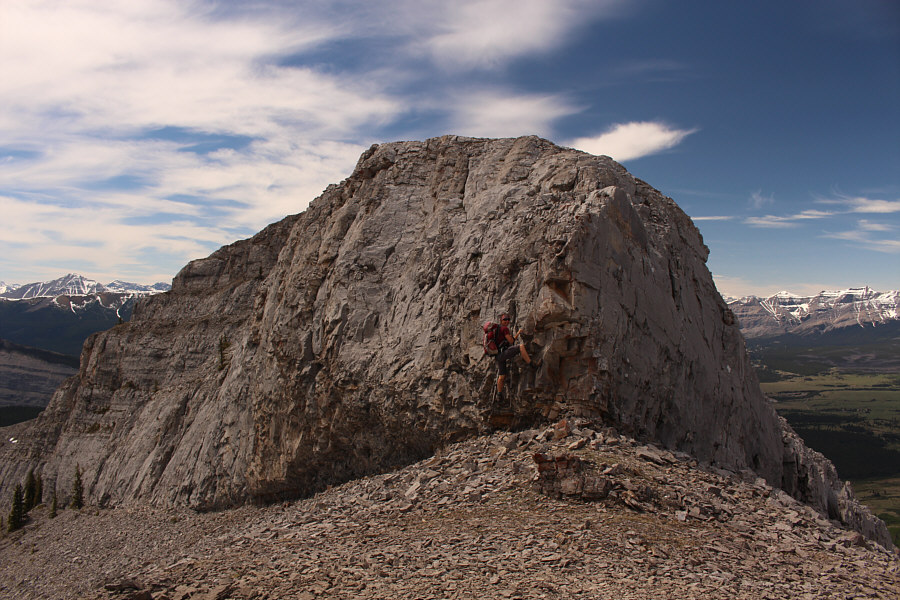
Zosia approaches the summit block of Rum Ridge. |
 |
This part of Rum Ridge is mostly easy scrambling. |
 |
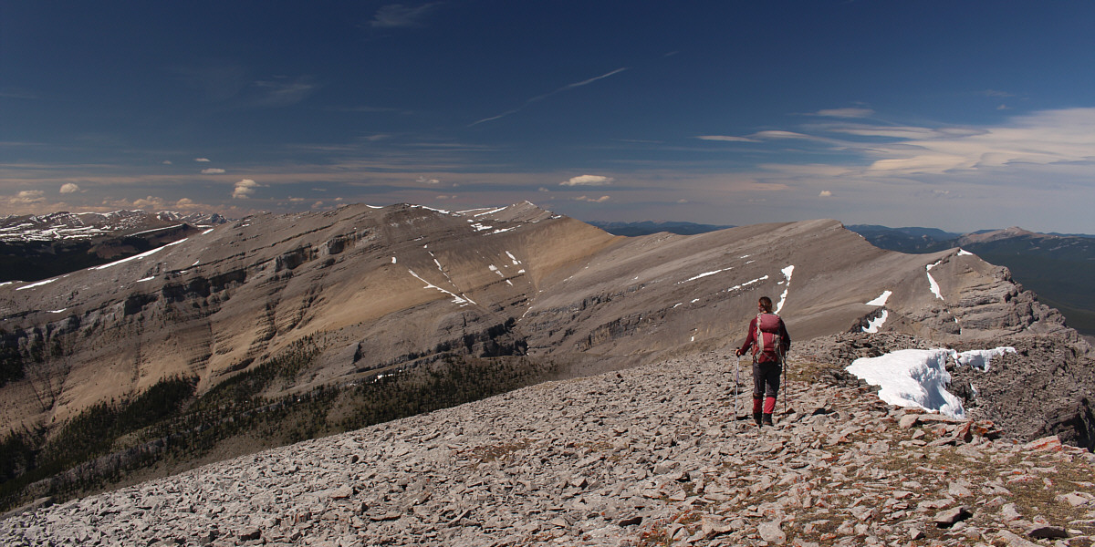
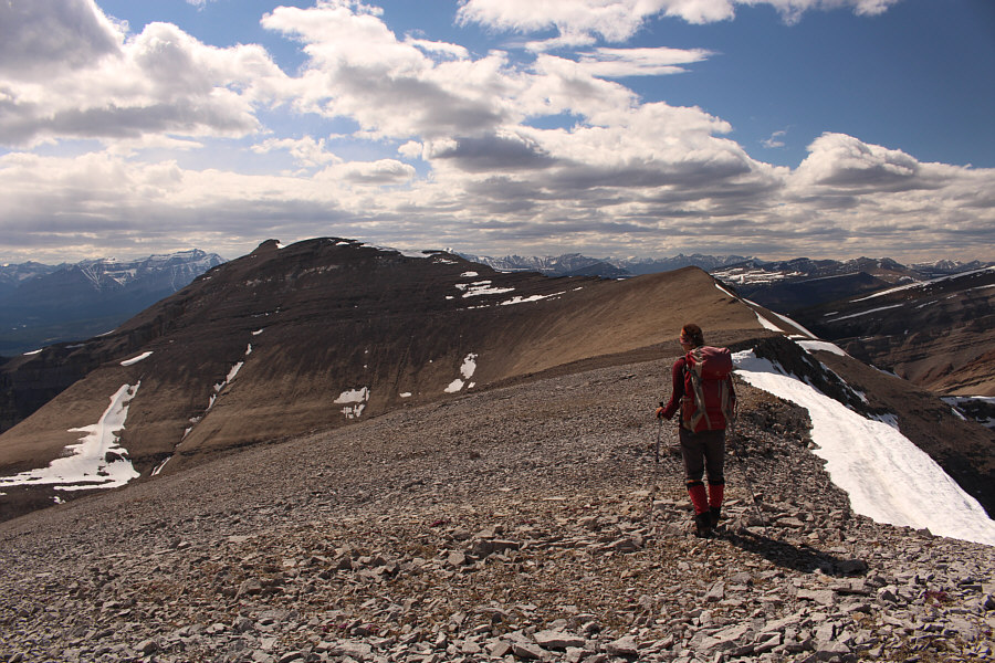
The unnamed bump behind Zosia is the junction between separate connecting ridges to Eagle Mountain and Evangeline Peak. |
 |
After hiking over the east summit of Rum Ridge, Zosia heads for the west summit. Both summits are of equal height (2527 metres). |
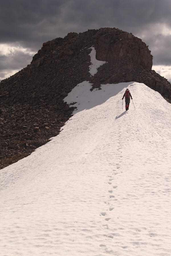 |
Zosia climbs up a lingering snow patch before the west summit. |
 |
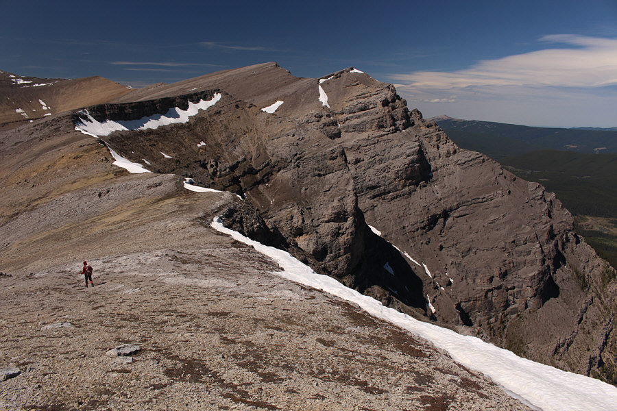
From the west summit, Zosia has to choose between hiking on the exposed crest or dropping down to the loose ledge on the left. |
 |
The ledge is less exposed, but the overlying rubble is loose. |
 |
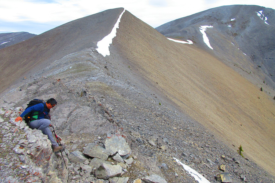
Zosia is eventually forced to return to the ridge crest to complete the traverse. |
 |
Evangeline Peak sits to the north. |
 |
Zosia descends a very steep grassy slope on the way down from Rum Ridge. |
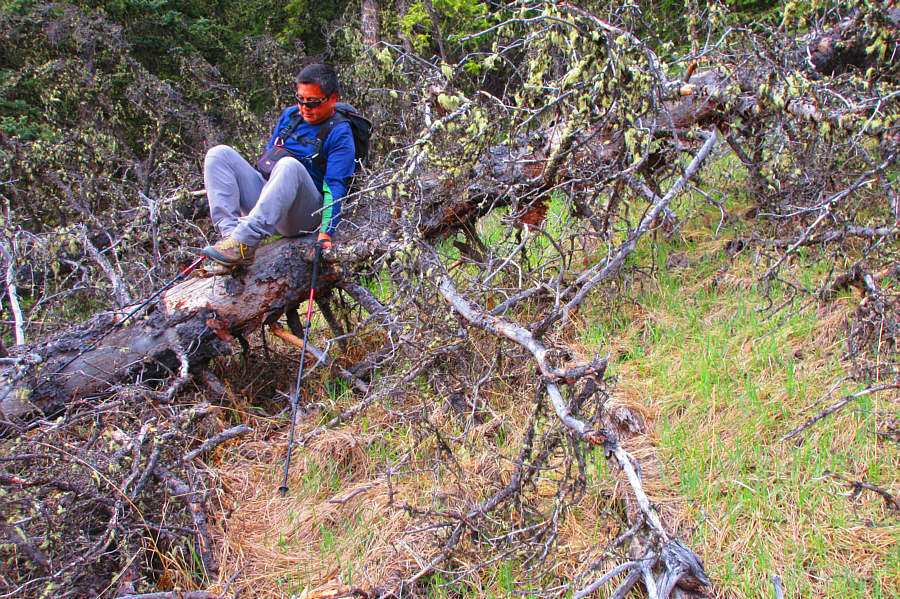 |
The bushwhacking is generally light in
the area, but this tree is a bit awkward to climb over. Photo courtesy of Zosia Zgolak |
 |
Zosia pauses just short of a grove of aspen trees near the valley bottom. At centre is Labyrinth Mountain. |
 |
This is looking back at the grassy slopes near the southwest end of Rum Ridge. |
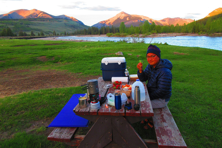 |
Sonny digs into a well-deserved dinner
at Bighorn campground. Behind him is Red Deer River, and on the
horizon are Eagle Mountain (far left) and Maze Peak (centre). Photo courtesy of Zosia Zgolak |
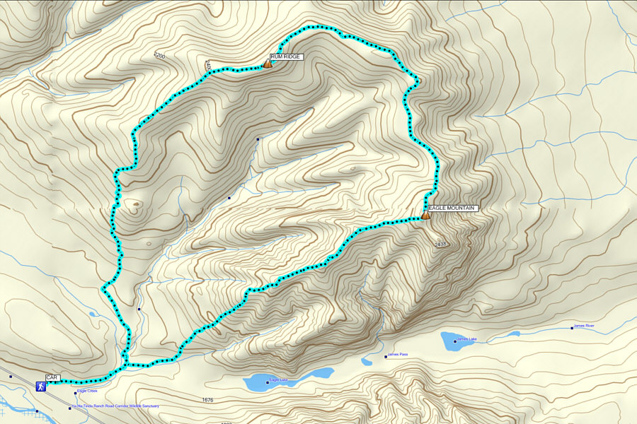 |
Total
Distance: 18.9 kilometres Round-Trip Time: 11 hours 35 minutes Total Elevation Gain: 1735 metres |