BOU AVENUE
Lusk Ridge South (Hunchback Hill)

On 18 November 2017, Andrea Battistel, So Nakagawa, Wil Tabak, Zosia Zgolak and I hiked up to the top of Lusk Ridge South (Hunchback Hill).  The hike is described in Gillean Daffern's Kananaskis Country Trail Guide, but we used Bob Spirko's trip report for inspiration and his GPS track for navigation.  Starting from the trailhead along Powderface Trail highway, we hiked westward along the snow-covered trail to Lusk Pass, and due to some inattentiveness, we completely missed Spirko's turnoff to the ridge.  Rather than backtrack, we simply left the trail and climbed straight up the steep hillside where we eventually intersected a flagged route.  We had no more route-finding issues as we followed flagging all the way up to tree line.  We finished our ascent on an open and remarkably scenic ridge.

On descent, we followed the flagged route all the way back down to the Lusk Pass trail.  For such a well-flagged route--some of the flagging even seemed excessive--I was a bit surprised to see the flagging disappear completely just before we reached the main trail.  In fact, the flagging and cairn marking the start of the route and depicted in Spirko's photographs were nowhere to be found which explains why we missed the turnoff earlier in the day.  It is likely that someone had removed them on purpose.  In any case, we marched back to the trailhead without further problems to conclude the short but satisfying hike.
Almost enough snow to ski this! 
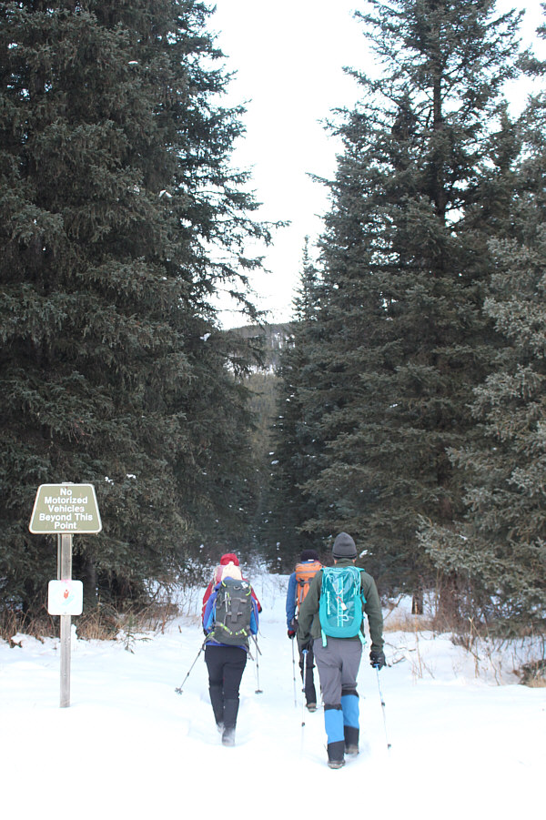
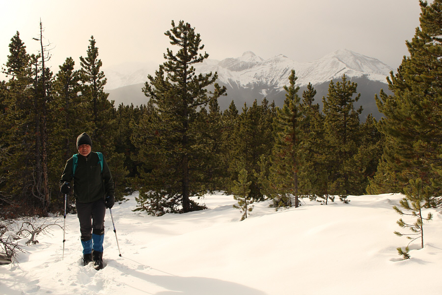
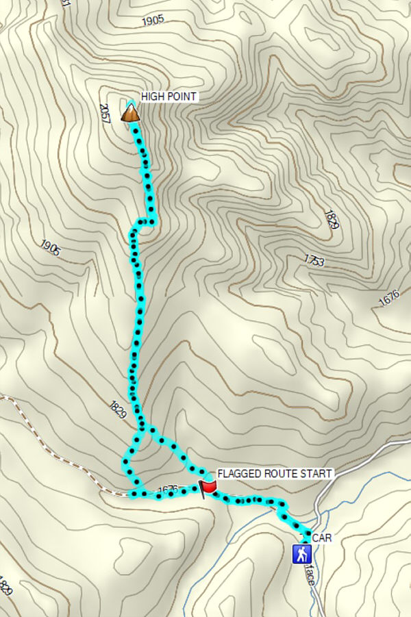
The group starts hiking Lusk Pass trail from its eastern terminus.
We overshot our turnoff by about 420 metres!

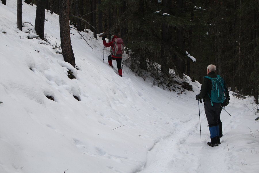
Wil watches as Zosia leaves the Lusk Pass trail and climbs uphill.

I'm just following the deer tracks... 
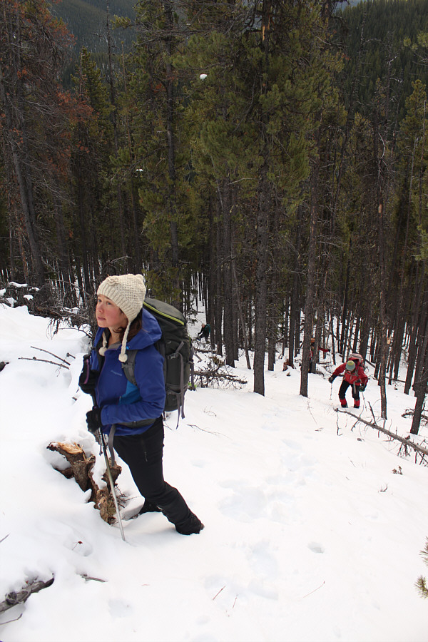
Andrea appears worried about Sonny's route-finding skills on the snowy slope.
Somebody really went nuts with the flagging and put some on almost every other tree along the route!

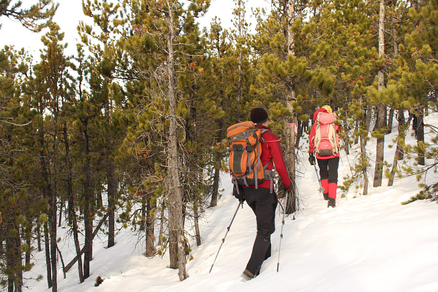
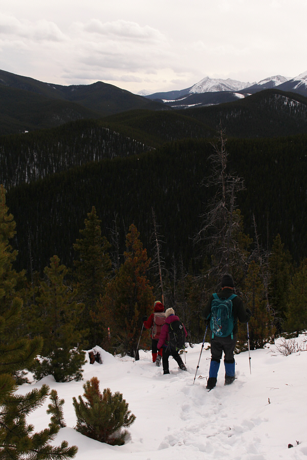
So and Zosia follow flagging on the trees higher up the ridge.

Wil's pack has no hip belt! Behind Wil, a break in the forest reveals Tiara Peak in the distance.
The forest sheltered us nicely from the chilly wind! 
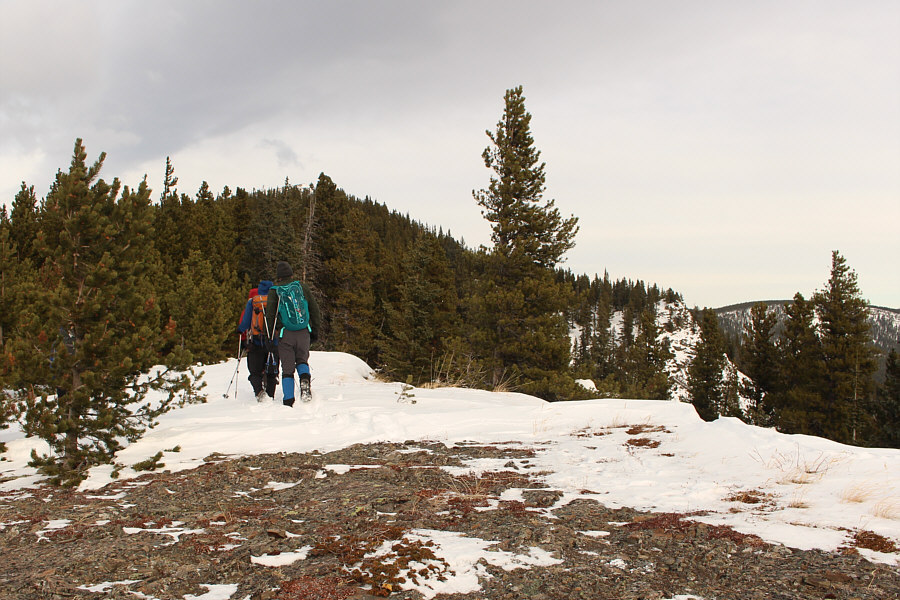
A windswept opening precedes another stretch through the forest.  The top of Lusk Ridge South can barely be seen above the trees in front of the group.
A geocache is hidden under the tree near the summit. 
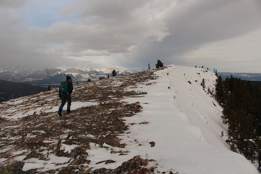
Wil hikes up the last few steps before the high point of Lusk Ridge South.

My toque makes me look like such a rube!

Sonny, Andrea, Zosia, Wil and So gather around a giant cairn near the high point of Lusk Ridge South (2116 metres).


It's almost like discovering a new lake! 
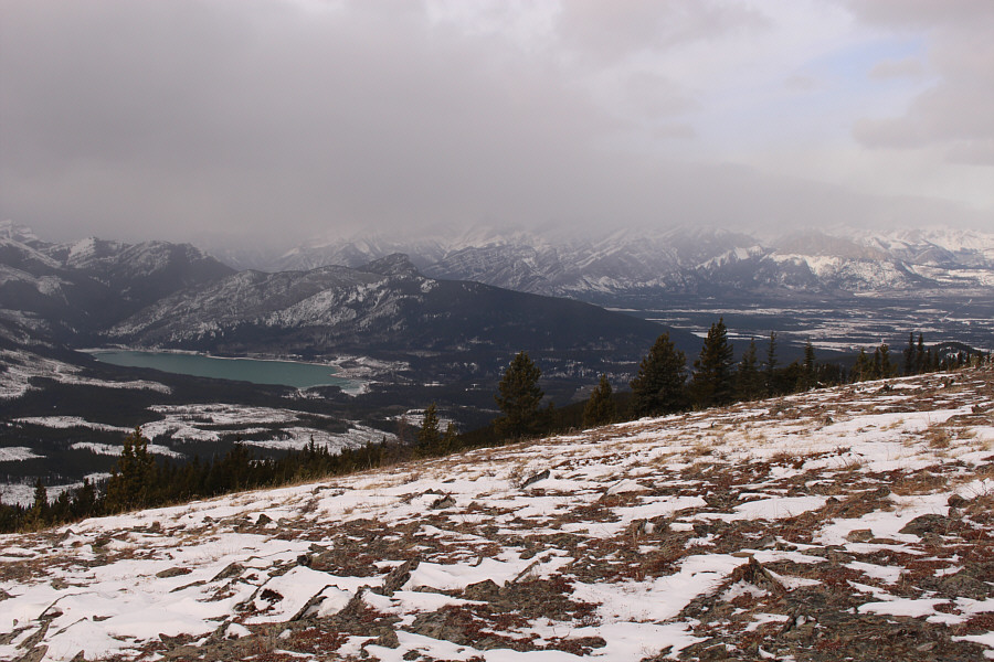
The top of Lusk Ridge South grants a distinctly unfamiliar view of Barrier Lake.
I may have to recruit Bob Spirko to get me motivated to come back and hike the extension. 
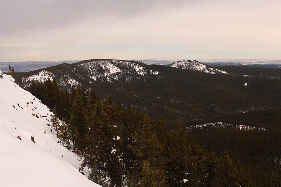
To the northeast are a couple of bumps along Hunchback Hills Horseshoe (also known as Lusk Ridge), a longer and more challenging extension to this hike described by Gillean Daffern.
Watch your step around here! 
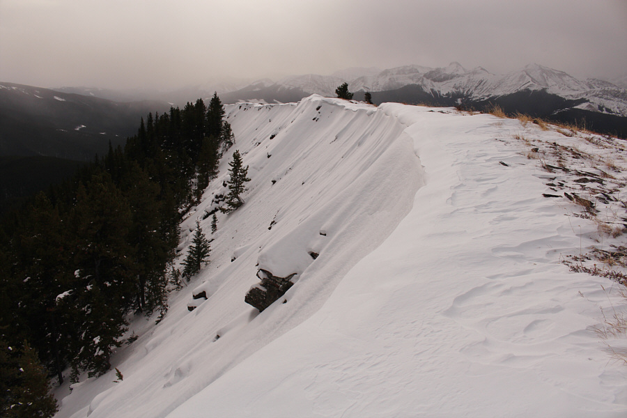
Snow cornices persist along the east side of the high point.
Unfortunatley, the flagging doesn't extend all the way back to Lusk Pass trail which may explain why we missed it in the first place. The group follows flagging almost all the way back down.
A more rewarding shoulder-season objective than expected! Total Distance:  7.6 kilometres
Round-Trip Time:  4 hours 18 minutes
Net Elevation Gain:  463 metres

GPX Data