BOU AVENUE
North Trapper Peak

Two years ago, I was driving north along US Highway 93 between Lost Trail Pass and Darby, Montana when some spectacular peaks to the west caught my eye.  I would later learn that these are parts of the Trapper Peak massif, the highest point in the Bitterroot Mountains of western Montana.  Curiously, North Trapper Peak is officially named as a separate mountain, and although it is not the highest peak in the massif, it is without question the most striking especially when viewed from the highway.  Despite looking rather impregnable, North Trapper Peak actually has a non-technical climbing route which is well-described in Summitpost.org.  On my way to Idaho for the upcoming total solar eclipse, I took a short detour on 19 August 2017 to climb this beautiful peak.

To get to the trailhead for North Trapper Peak, I turned onto West Fork Road (State Highway 473) from US Highway 93 and headed south to the signed turnoff to Baker Lake (a little over 11 kilometres south of the junction between Highways 93 and 473; if coming from the south on Highway 93, Conner Cutoff Road can be used as a short cut).  The drive to the trailhead via forestry roads 363 and 5634 took awhile, but the roads were generally in pretty good shape all the way there (2WD okay, high clearance recommended).

A good trail runs up past a rock outcrop known as Baker Point and visits three successively higher tarns--Baker Lake, Middle Lake and Gem Lake.  This is a deservedly popular and well-maintained trail, and there are lots of good camping spots at each of the tarns.  On this day, I encountered a lot of other hikers on the trail, but somewhat surprisingly, no one else ventured beyond Gem Lake.
This was taken from my camping spot for the night at the Bell Crossing access to the Bitterroot River. 
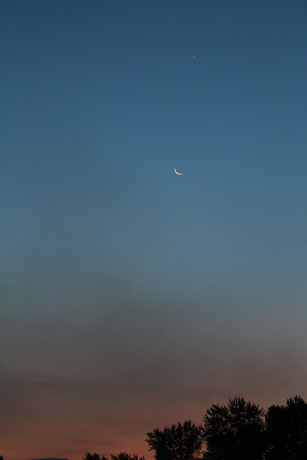
A crescent moon and the planet Venus hang in the eastern sky before dawn.
Sorry, no biffy at this trailhead! 
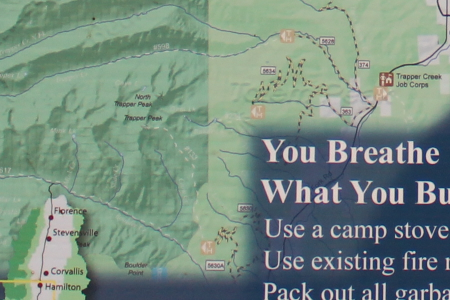
A map on a signboard at the trailhead shows a general overview of the area near North Trapper Peak.  The trailhead is at the end of forestry road 5634.
Makes for a really short day trip for lazy folk! 
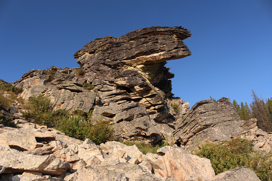
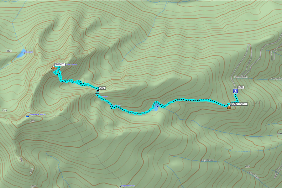
A rock outcrop called Baker Point is located about 600 metres from the trailhead.
Is it obvious that I'm sucking in my gut?? 
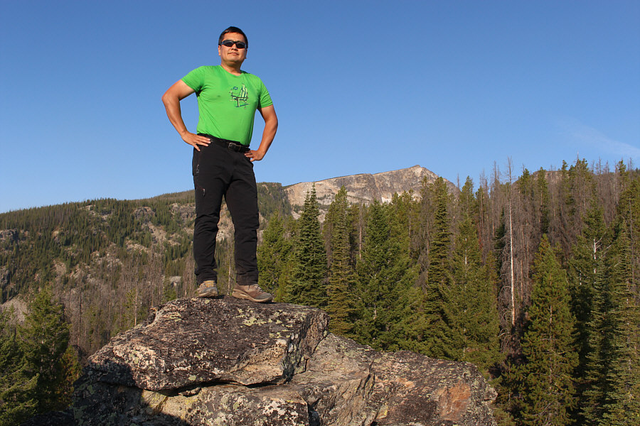
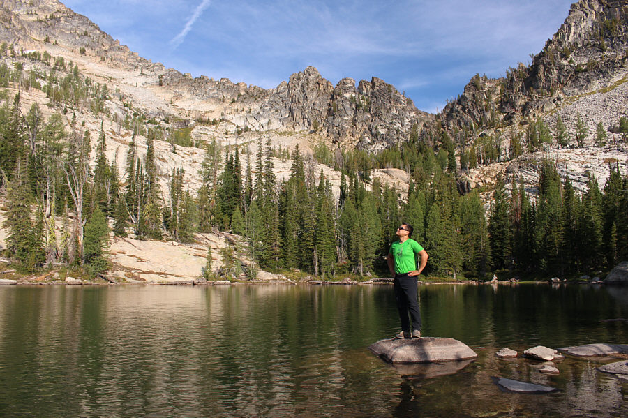
Sonny stands atop Baker Point (2264 metres) with East Trapper Peak visible in the distance.
Some people that were camping here later actually went all the way back to the trailhead to get more beer! 
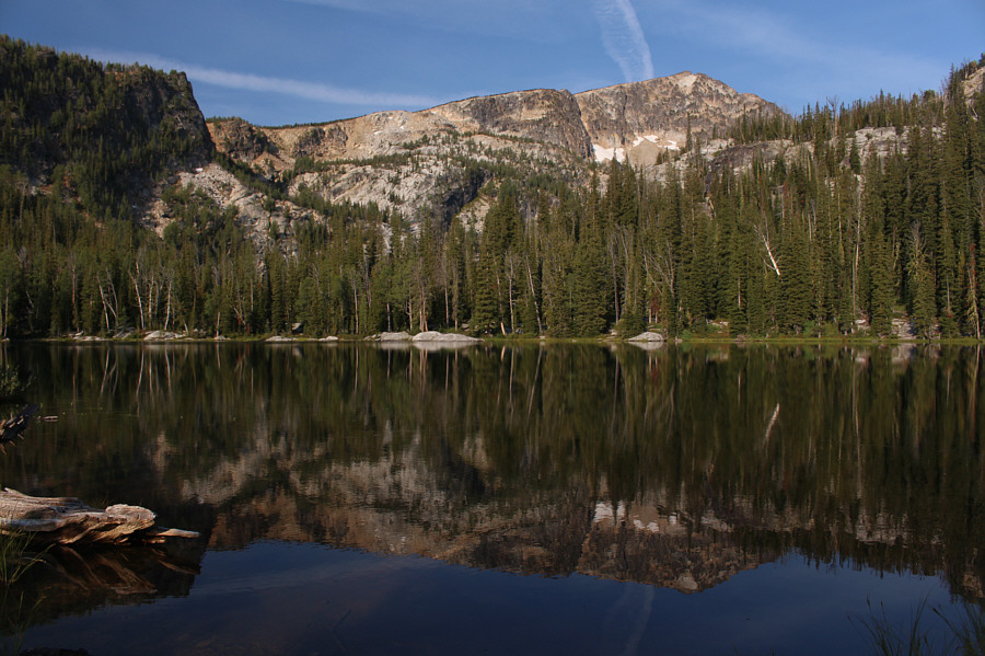
East Trapper Peak is reflected in Baker Lake.
Sucking in my gut Part Deux! Sonny arrives at Middle Lake.
It's a shame that the majority of hikers don't venture beyond Gem Lake. 
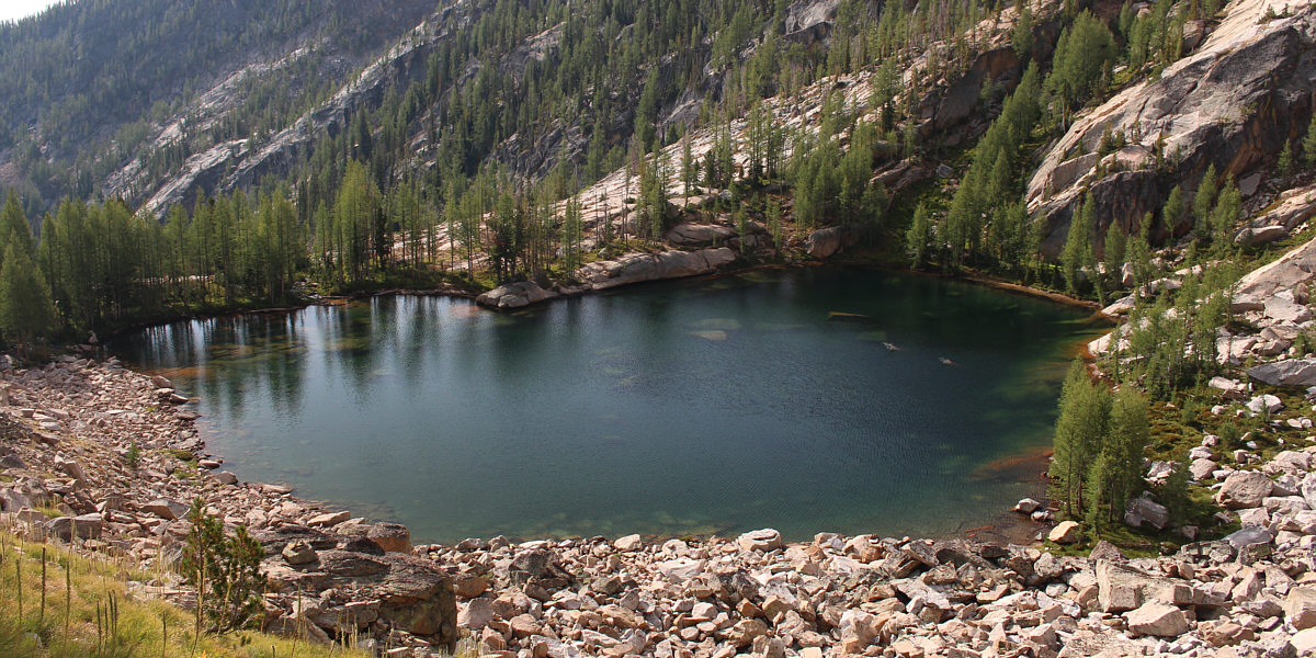
The off-trail route to North Trapper Peak begins at Gem Lake and climbs up to the col on the right.
From Gem Lake, I climbed up to a high col to the north before briefly descending a very steep path on the other side.  The Summitpost.org route description mentions that it is possible to take a short cut here to minimize elevation loss while entering the basin below North Trapper Peak.  The alternative is to drop all the way down the north side of the col before climbing back up to the basin.  Being the lazy sort, I opted to take the short cut, but as I would quickly find out, it entails some difficult and exposed down-climbing. I spent considerable time route-finding and slithering down a few challenging drop-offs before finally reaching easy terrain again.

There are nice camping spots in the trees to the left.

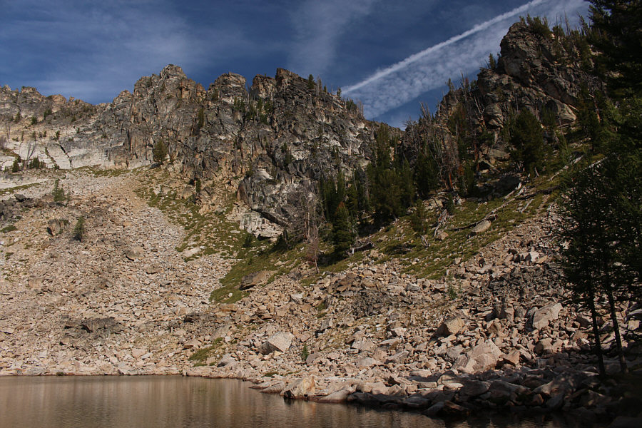
This is Gem Lake as seen from partway up the route to the col.


Mostly steep but easy hiking here. 
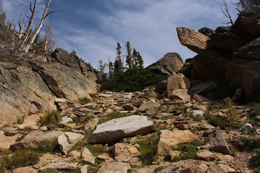
Numerous beaten paths run between the rocks up to the col.
There's a beaten path going down, but it's very steep. 
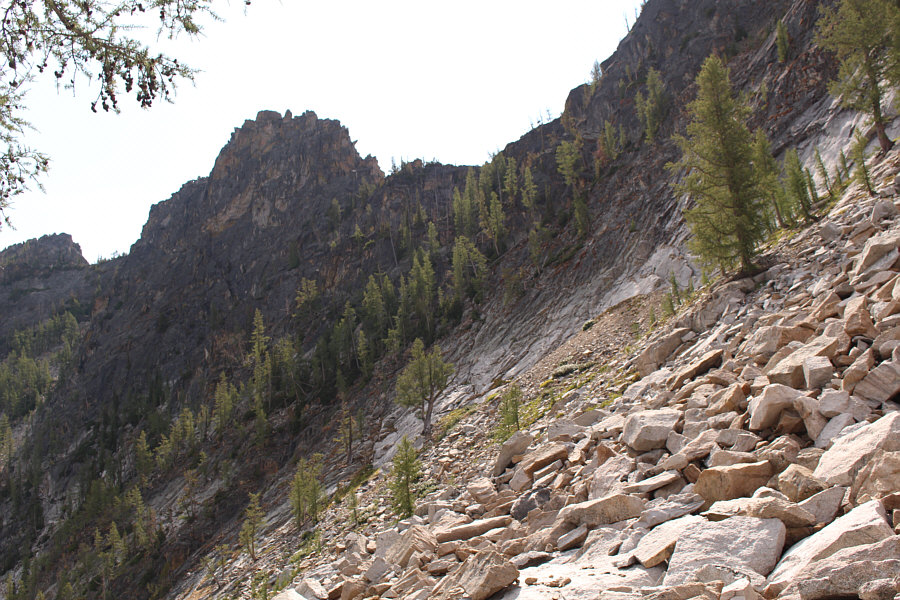
The route drops steeply down the north side of the col.
Try at your own risk! 
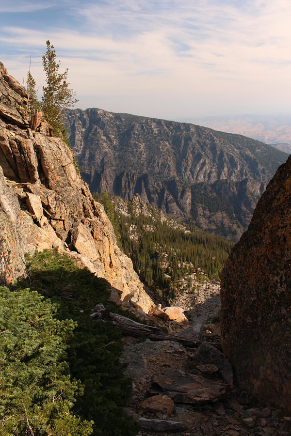
This ledge leads to a short cut that saves some elevation loss, but the route is not easy and entails some difficult down-climbing.
Scared yet? 
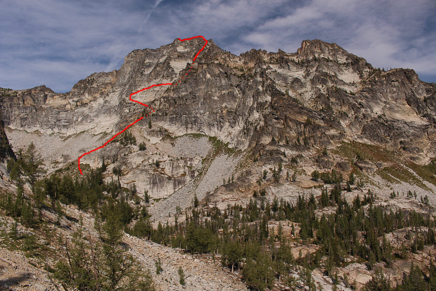
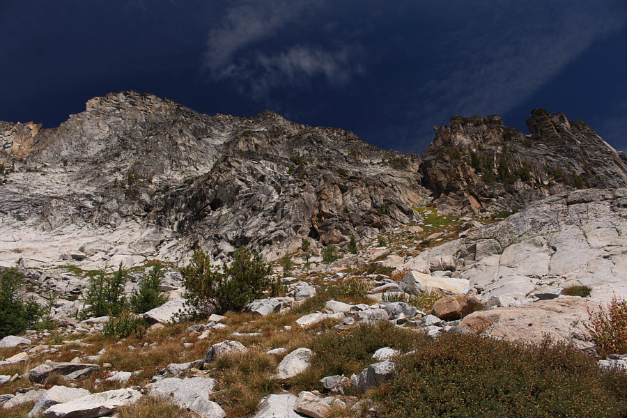
North Trapper Peak finally comes into view across the basin.  The route to the summit is marked.  According to Summitpost.org, this is the Olbu Southeast Face route which is named after the man--Gerald Olbu--who popularized it.
It will be easier going back this way though. The difficulty of the short cut route is more evident here.
Hiking into the basin, I aimed for the bottom of an obvious couloir running up the southeast face of North Trapper Peak.  Following the route description, I left the couloir partway up and traversed westward across large slabs.  This avoids more technical terrain further up the couloir.  When it seemed feasible, I resumed climbing upwards until I reached the base of some large blackish cliffs guarding the upper mountain.  Here, I traversed back eastward on a bit of a ledge, but instead of re-entering the couloir, I turned up a broad, shallow gully which ultimately leads to the summit ridge.  The scrambling here up Class 3/4 terrain is straightforward and enjoyable, and I was soon looking down the precipitous north face of North Trapper Peak.
It's the only logical place to go up. This is looking up from the bottom of the couloir.
The vegetation actually helps to stabilize the rocks in the couloir. 
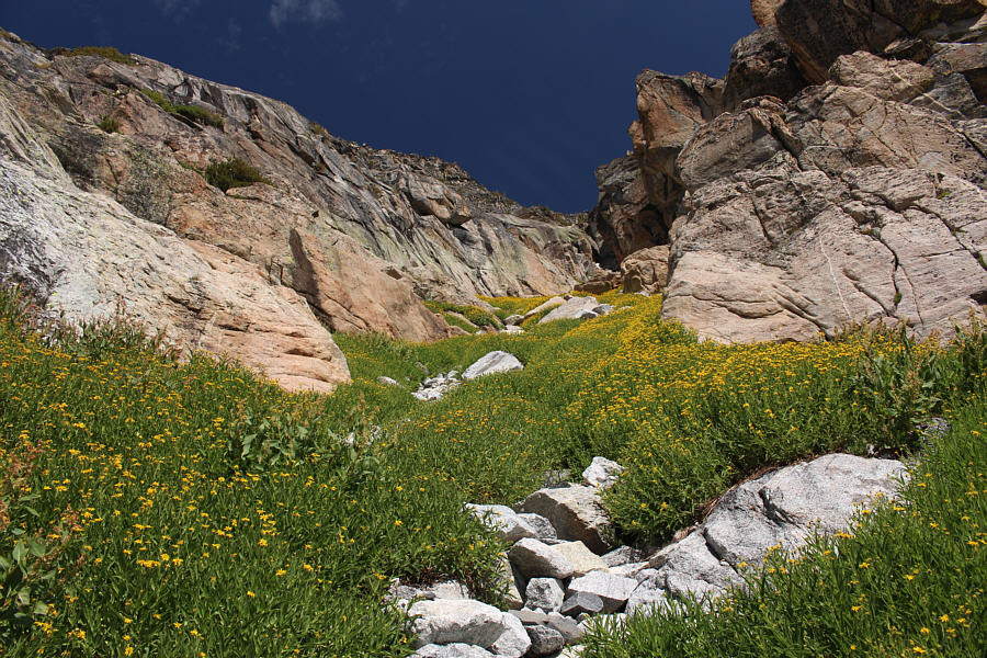
Pretty yellow flowers adorn the couloir.
Stick to the stable rocks. The vegetation is dangerously slippery! 
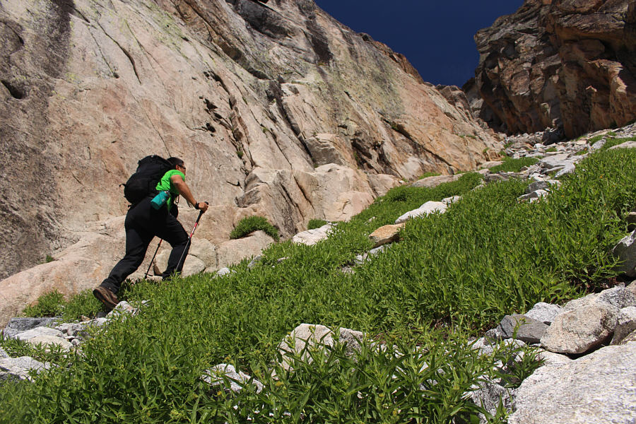
Sonny grinds his way up the couloir.  The exit point is just around the next corner.
I wouldn't want to try this in wet or snowy conditions! 
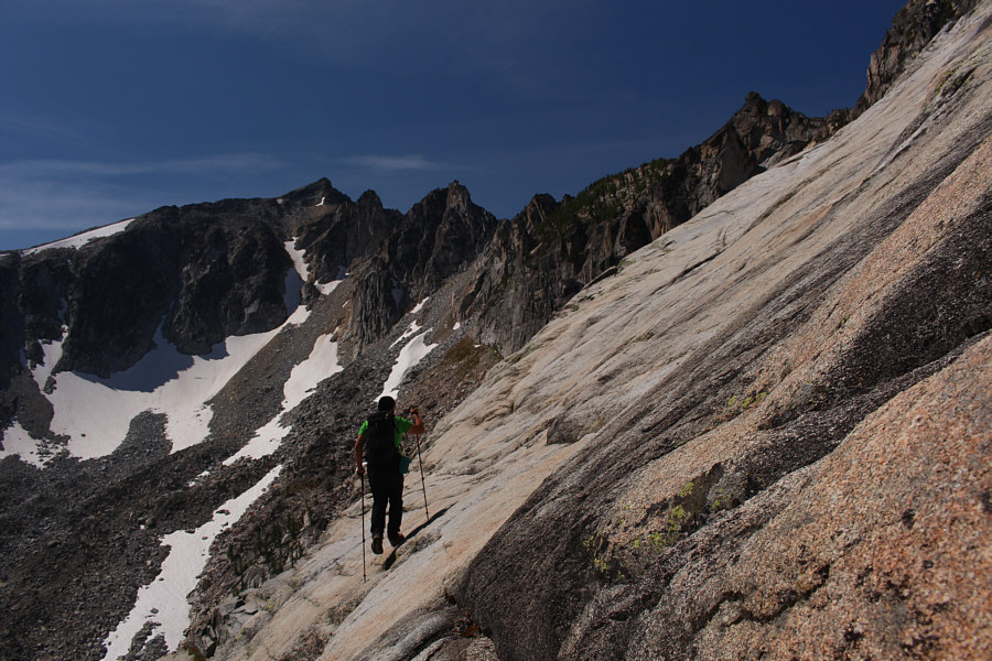
After leaving the couloir, Sonny walks across large slabs on the southeast face of North Trapper Peak.
A little bit of exposure here... 
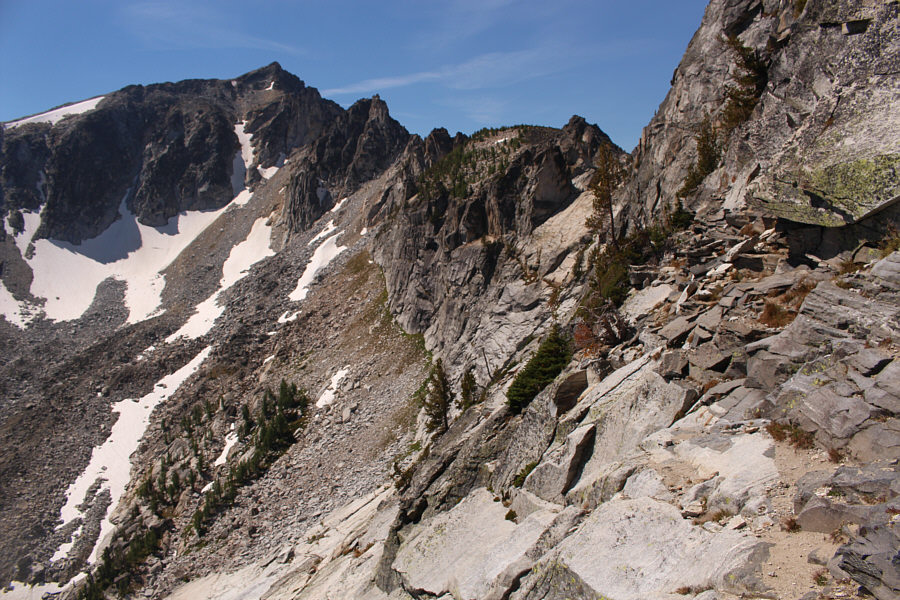
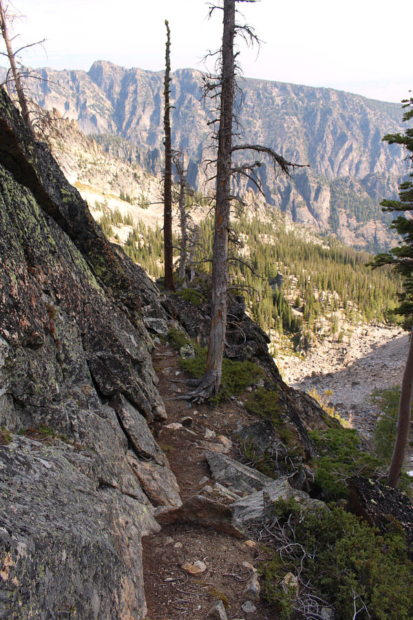
This is looking back along the ledge (right) just below blackish cliffs.  The ledge is used to traverse back toward the couloir in order to circumvent the steep slabs at the bottom of the photo.
You want fun hands-on scrambling? Well, here it is! 
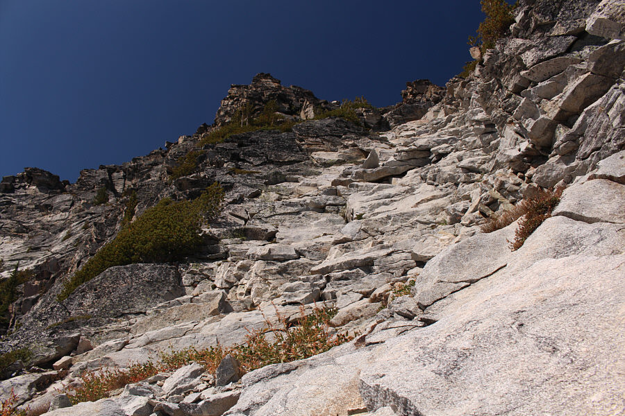
Instead of re-entering the couloir, the route turns up this broad, shallow gully.
The crux of the route is a 2-metre high step just below the first and easternmost of three distinct summits.  Previous climbers had stacked rocks at the base of this step to make it easier to ascend, but feeling that this was somewhat unsporting, I circumvented the step altogether by going around it on climber's left.  This turned out to be easier said than done as I ventured onto some frightfully exposed terrain to get around the crux.  Even past the crux, I had some difficulty scrambling up onto the first summit.  In fact, the entire summit ridge requires some care to maneuver as the stacked boulders there all have an airy feel to them.  Nevertheless, I had no further problems tagging both the middle summit and the westernmost (true) summit.
It's not easy to down-climb either! 
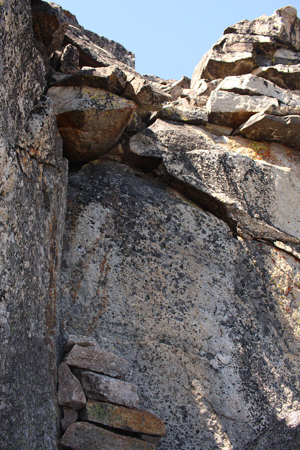
Just before the first summit is this crux.  It is challenging to climb up even with the stacked rocks at the bottom.
It's cast iron and very heavy! 
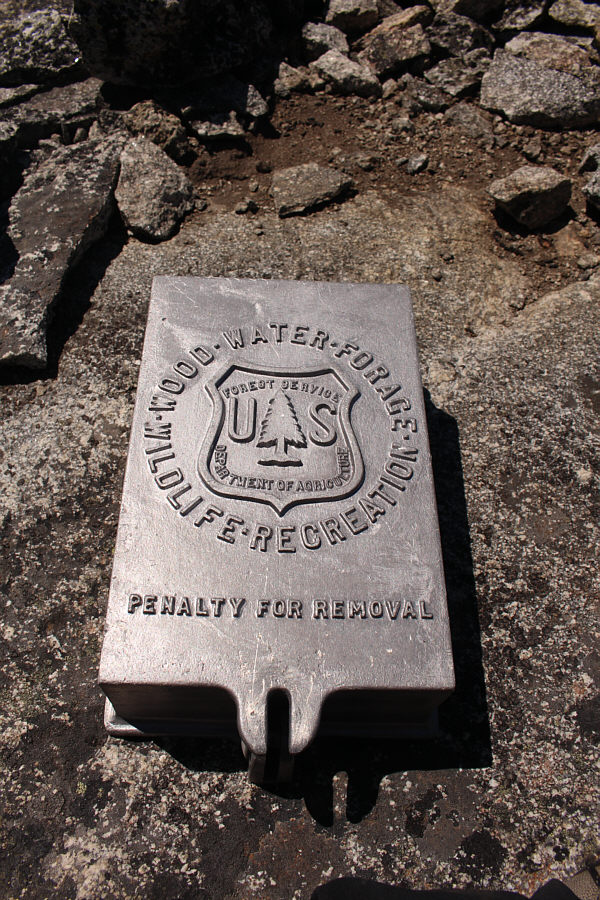
For some unknown reason, the summit register container is located on the first summit which is not the highest point on the mountain.
We're not done yet! 
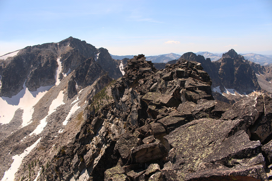
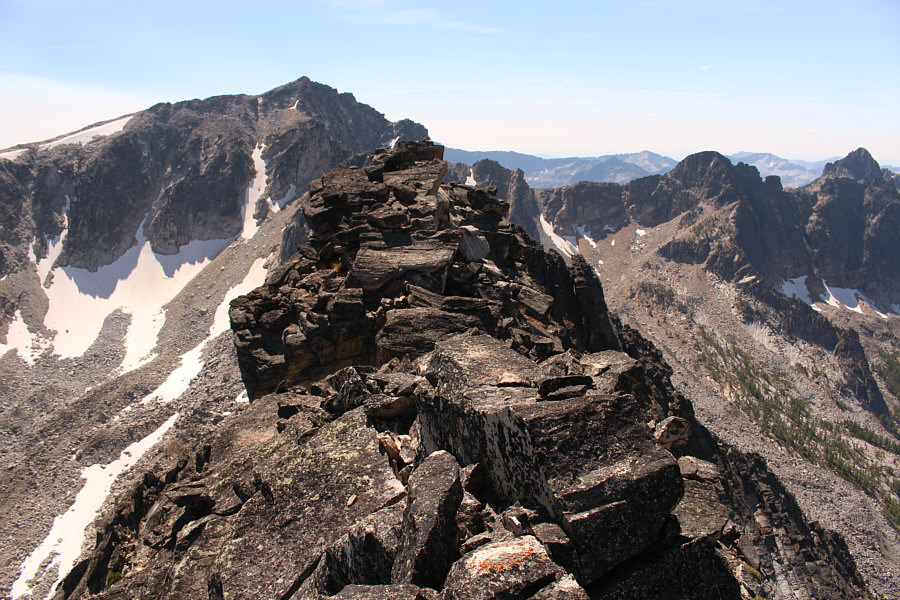
The westernmost (true) summit and the middle summit are a short distance away from the first summit.
Definitely the toughest of the three summits to scramble up, so maybe that's why the register is up there? This is looking back at the first summit from the middle summit.
Still some exposure for the last few steps... 
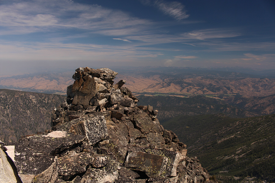
Here is the westernmost (true) summit as seen from the middle summit.

Well, it wasn't easy to get here, but it sure was a lot of fun!

Sonny reaches the westernmost (true) summit of North Trapper Peak (2980 metres).


I will return to tag these two in the future for sure! 
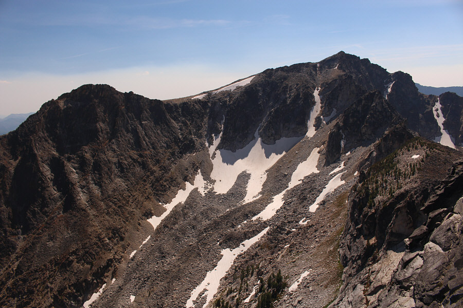
To the south are East Trapper Peak and Trapper Peak.
Another high peak in the range to be researched... 
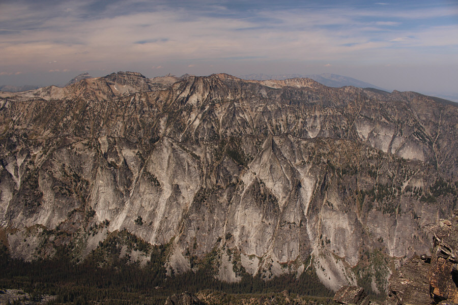
The Bitterroot Mountains stretch away to the north.  On the distant horizon at far left is El Capitan.
The trick now is to get back there... 
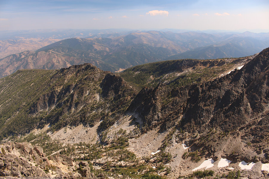
The col above Gem Lake is at centre in this view to the southeast.
On descent, I chose to tackle the crux and awkwardly slid down onto the climbers' stacked rocks.  I then retraced my steps more or less back down the shallow gully and the couloir including the long detour out onto the large slabs.  The few small cairns that I had built on my way up were very reassuring to see on my way down.  In the basin, I took a short break by a creek to rest and rehydrate before resuming my return to the high col.  The short cut was much easier to negotiate this time since I knew the route already and was mostly climbing upward on the more difficult sections.  After clearing the high col, I descended to Gem Lake without any trouble and subsequently enjoyed a pleasant hike back to the trailhead.
 
North Trapper Peak turned out to be a rather long day for me, but oddly enough, it never felt long.  With a scenic approach trail, very little scree and lots of wonderful hands-on scrambling, North Trapper Peak ranks among the best scrambles I have done this year.  I plan to return in the future to hike up the higher and technically easier Trapper Peak, but that ascent might feel a bit anticlimactic to me in comparison to the thrills I experienced on North Trapper Peak.
Morning would be the best time of day to take this photograph! 
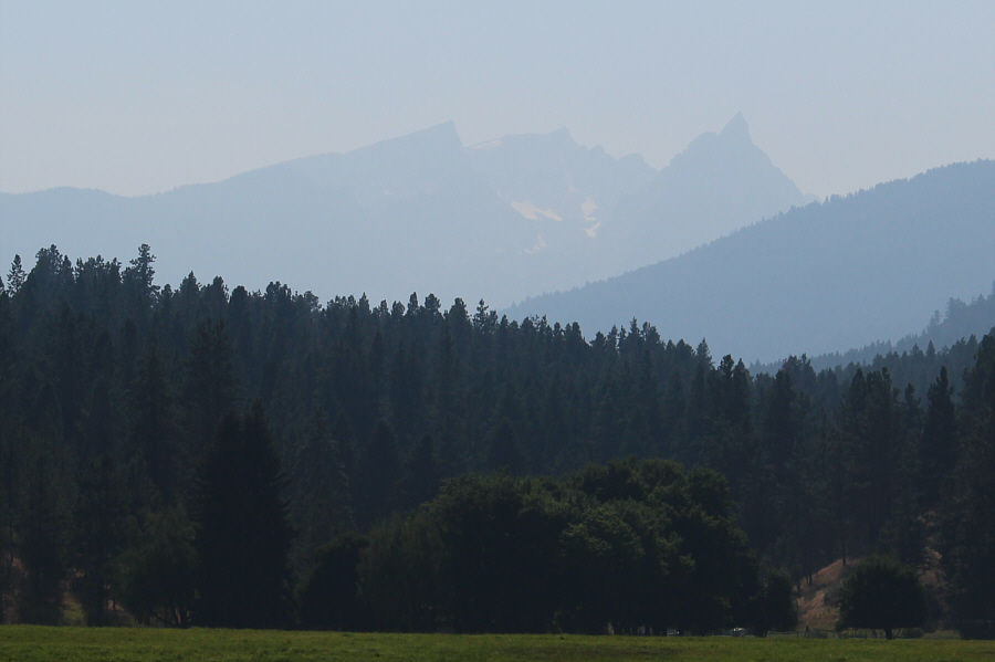
Here is a hazy view of East Trapper Peak, Trapper Peak and North Trapper Peak from US Highway 93 two days later.
North Trapper Peak should be on every difficult scrambler's to-do list! Total Distance:  14.9 kilometres
Round-Trip Time:  11 hours 26 minutes
Total Elevation Gain:  1175 metres

GPX Data