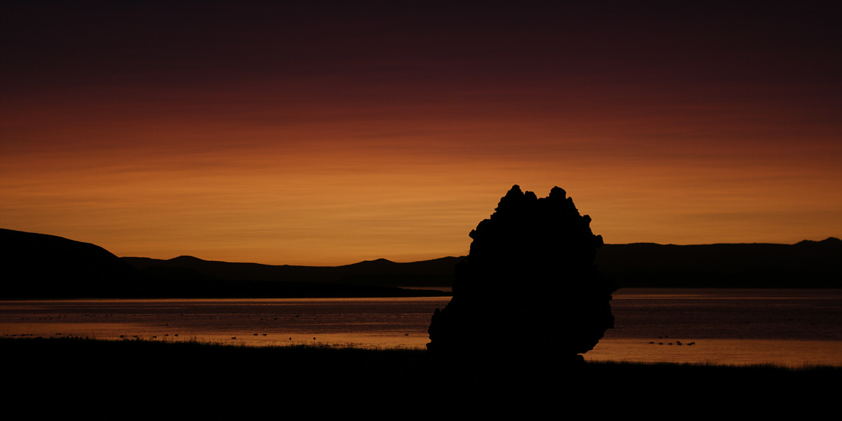
Waterfowl are already active on Mono Lake well before the sunrise.
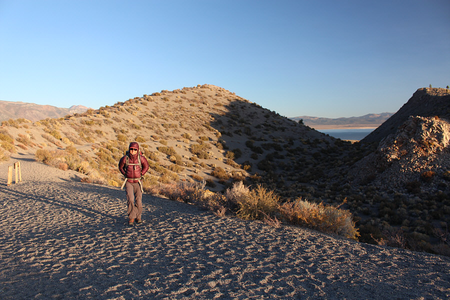 |
Zosia hikes along the rim of Panum Crater. She would eventually get back here along the ridge behind her. The trail to the central dome plug (far right) also begins here. |
 |
The high point of Panum Crater's dome plug is at left. |
 |
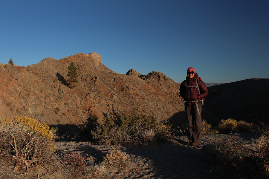
Mono Lake becomes apparent as Zosia approaches the north side of the rim. |
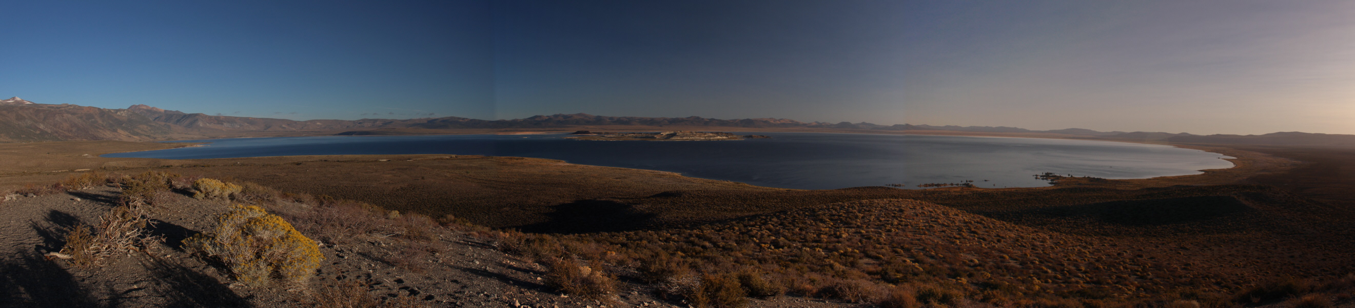 |
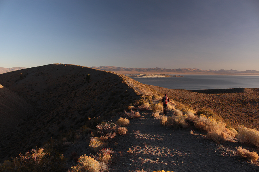
Here is a panoramic view of Mono Lake from the highest point along the north rim (click on photo for enlarged view). |
 |
Zosia pauses next to some pinnacles on the central dome plug. |
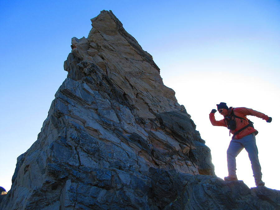 |
Sonny strikes a pose next to one of
the pinnacles. Photo courtesy of Zosia Zgolak |
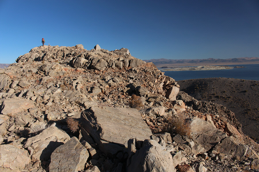 |
Zosia reaches the highest point of the dome plug. |
 |
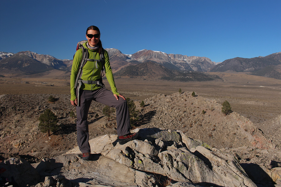
Zosia and Sonny relax on the high point (2146 metres) of Panum Crater's dome plug. |
 |
Visible to the west is Mount Dana, the second highest mountain in Yosemite National Park. |
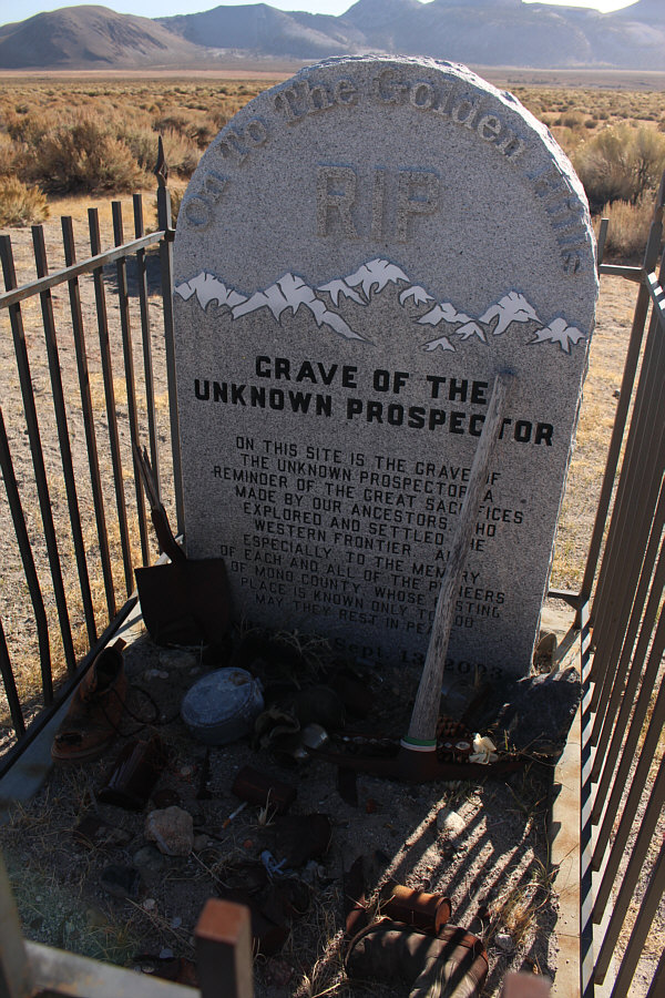 |
This interesting grave marker is located at the junction of US Highway 395 and Highway 120. |
After a lengthy stay at the top, we descended the same trail all the way back to Tioga Pass without incident. Zosia and I subsequently stopped at Tuolumne Meadows Visitor Center to get some park information and to replenish our water supply. We then ate dinner at Olmstead Point before trying to find a place to camp for the night. For various reasons, we had to retreat all the way back over Tioga Pass and out of the park to find a somewhat suitable camping spot (along the road to Saddlebag Lake in Inyo National Forest).
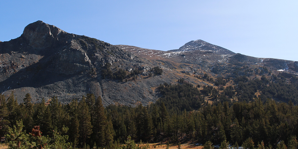
Here is a view of Mount Dana (right) from Tioga Pass.
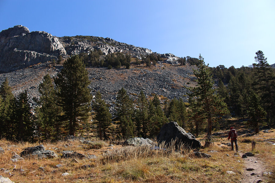 |
Zosia follows a good trail starting from Tioga Pass. |
 |
The brown hump at right across Tioga Pass is Gaylor Peak. |
 |
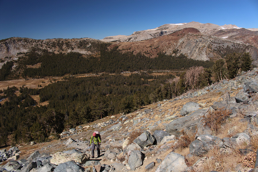
Because of foreshortening, the summit is farther away than it looks here. Thankfully, the trail is easy to follow all the way to the top even with all the snow patches (lots of big cairns ahead). |
 |
Sonny and Zosia stand on the summit of Mount Dana (3982 metres) with Mono Lake in the background. |
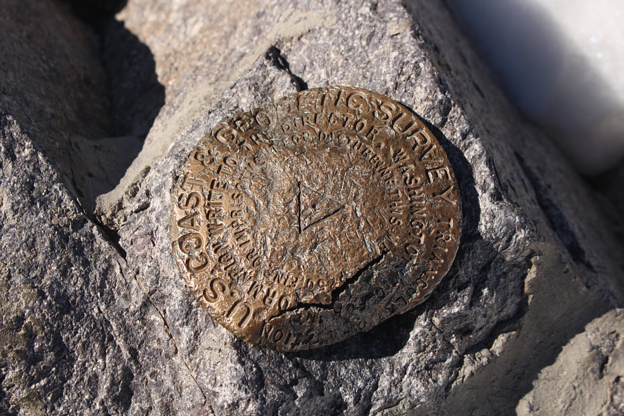 |
The survey marker on top of Mount Dana has seen better days. |
 |
In this view to the south, Mount Lyell is the peak on the right horizon with the large glacier (Lyell Glacier) below it. Mount Lyell is the highest peak within Yosemite National Park. |
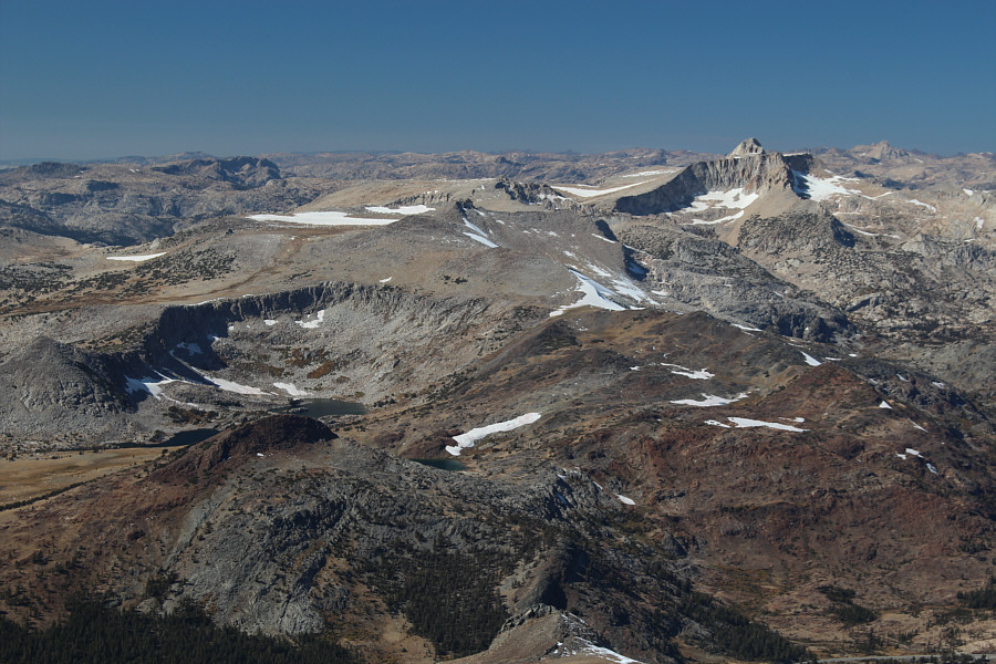 |
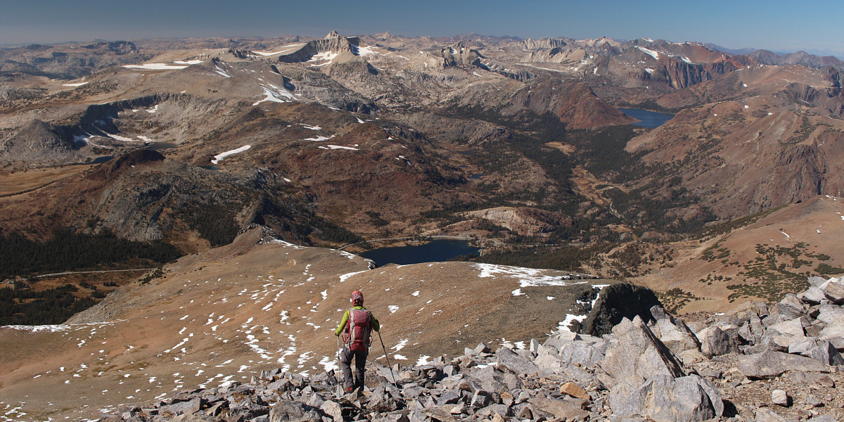
Granite Lakes can be seen to the northwest at left. The striking peak at right is Mount Conness. |
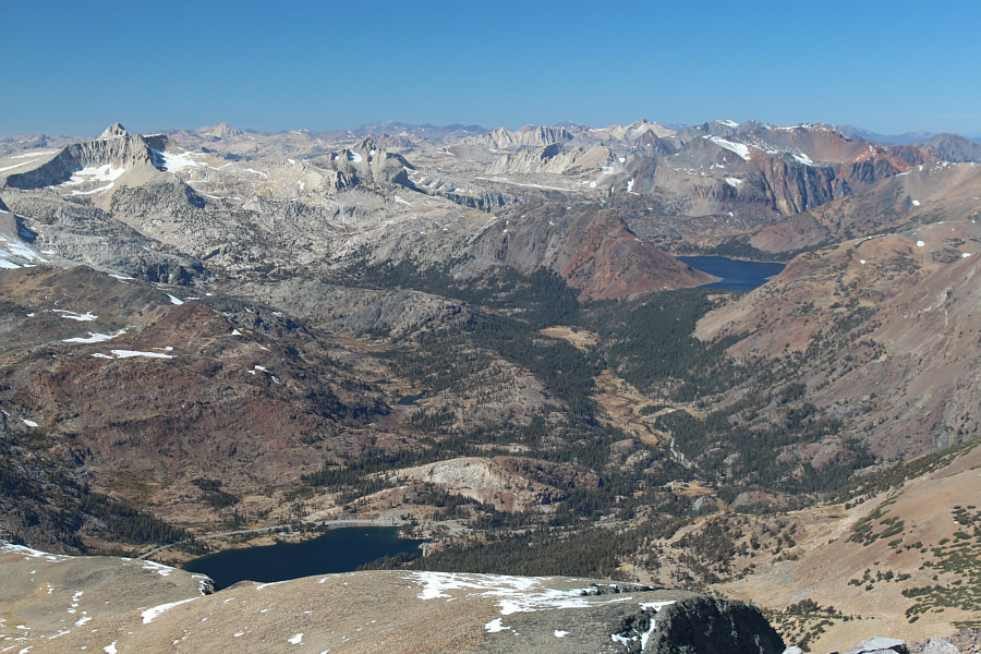 |
Also visible to the northwest are Tioga Lake (bottom left) and Saddlebag Lake (right). |
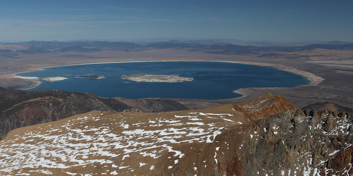
Mono Lake garners all the attention to the northeast. Barely discernible on the south shore of the lake at far right is Panum Crater.
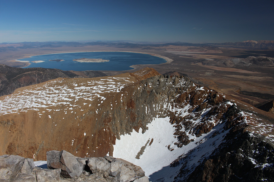 |
Here is a more comprehensive view of Mono Lake with the east ridge of Mount Dana in the foreground. |
Zosia leaves the summit of Mount Dana to retrace her steps down the mountain.
 |
Here is a last look at Mount Dana (right) from one of the many unnamed tarns at Tioga Pass. |
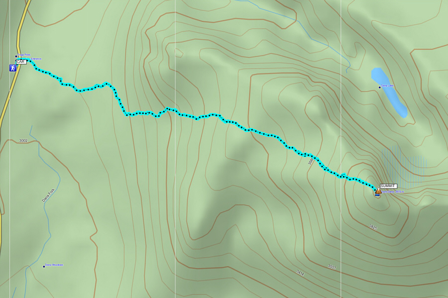 |
Total
Distance: 8.7 kilometres Round-Trip Time: 5 hour 38 minutes Net Elevation Gain: 957 metres |
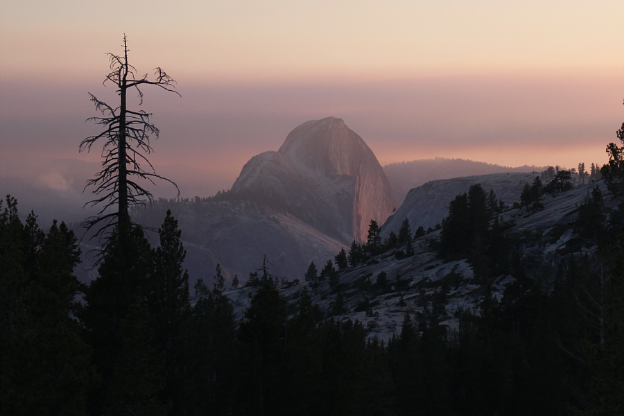 |
A smoky sunset casts some interesting light on the iconic Half Dome in this view from Olmstead Point. |