Photo courtesy of Zosia Zgolak
Round-Trip Time: 1 hour 4 minutes
Net Elevation Loss: 25 metres
|
|
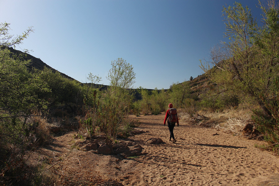
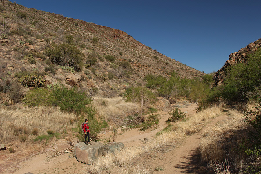
Zosia hikes along Badger Spring Wash. |
|
|
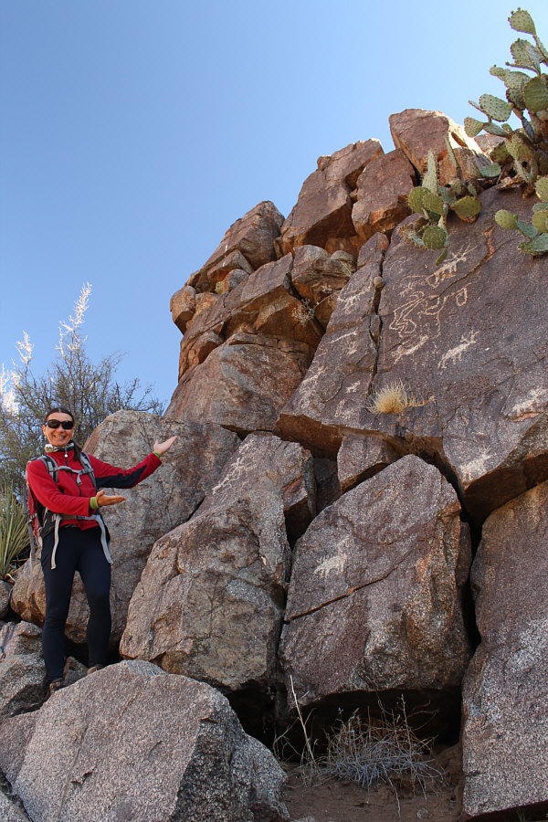
Zosia finds some petroglyphs on a short cliff face near the end of the wash. |
|
|
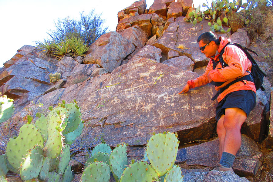
Sonny tries to make some sense out of
the petroglyphs. Photo courtesy of Zosia Zgolak |
|
|
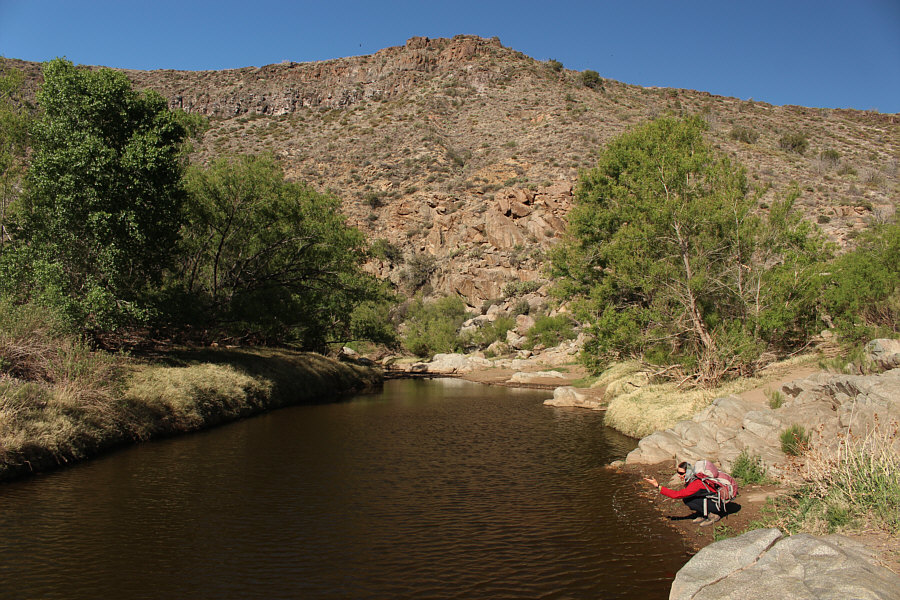
Zosia makes a splash in Agua Fria River. |
|
|
Zosia contemplates the slightly uphill walk back to the trailhead. |
|
|
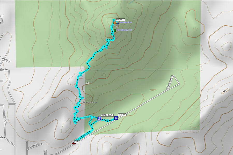
Total Distance:
2.9 kilometres Round-Trip Time: 1 hour 4 minutes Net Elevation Loss: 25 metres |
Much like nearby
Camelback Mountain, Piestewa Peak has a good trail all the way to the
summit and is equally busy. As such, the most difficult aspect
about climbing the peak is finding parking near the trailhead. We
were fortunate to find a parking spot in a lot just outside the
preserve's entrance gate, and after a short walk to use the washrooms at
another parking lot, we joined the throng of people marching up the main
trail.
The well-maintained trail winds efficiently up the southwest ridge of
Piestewa Peak, and although there are no route-finding difficulties, the
heat and the crowds can make the trail seem longer than it really is.
At trail's end, the true high point requires a short but easy scramble to
reach, but strangely, the majority of hikers we saw up there did not
bother with this and were content to lounge on a lower and more spacious
subsidiary summit.
After a long and satisfying break at the top, we descended the same way without incident.
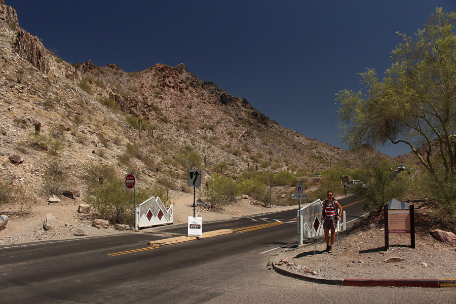 |
Piestewa Peak rises behind the gate into Phoenix Mountains Preserve. Note the spike strip in the far lane. |
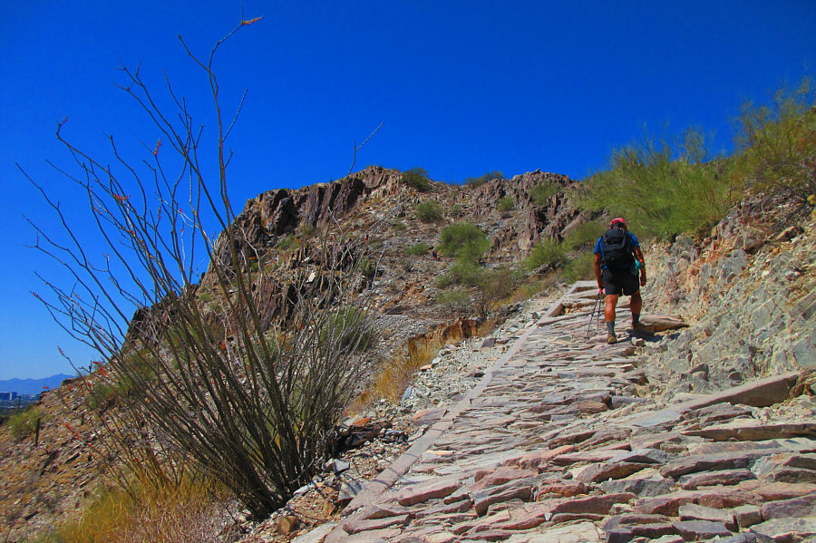 |
Sonny passes by an ocotillo as he trudges up the well-built trail. Photo courtesy of Zosia Zgolak |
 |
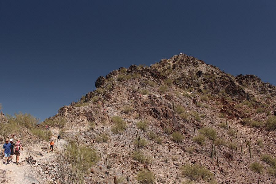
The trail winds its way up the southwest ridge of Piestewa Peak. |
 |
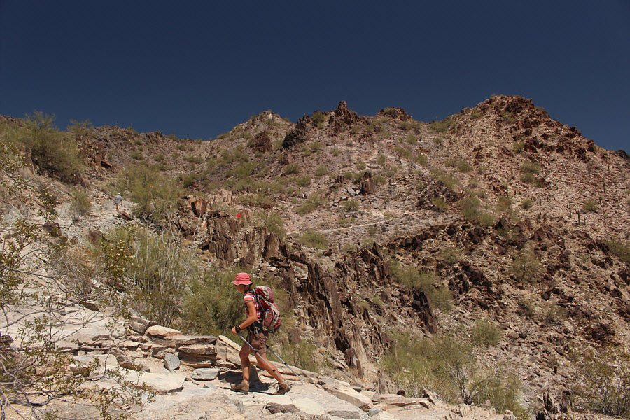
Sonny continues to hike up the trail under an increasingly hot sun. Photo courtesy of Zosia Zgolak |
 |
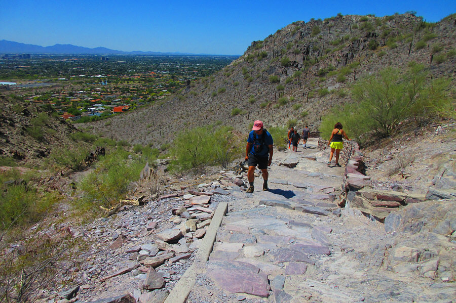
Not surprisingly, the trail is very busy on this day. |
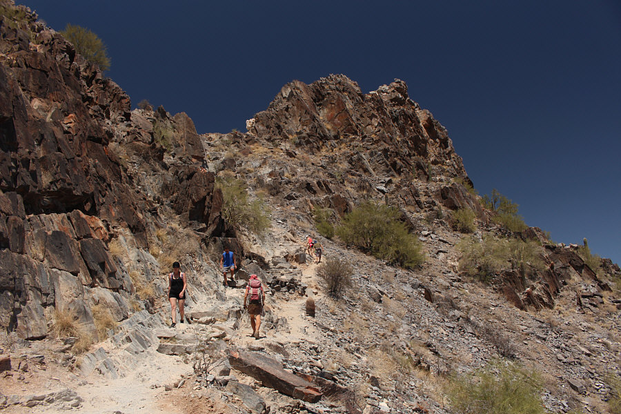 |
Zosia approaches the summit block. |
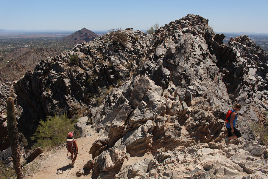 |
To get to the true high point requires some easy hands-on scrambling. |
Zosia and Sonny sit on the summit of Piestewa Peak (787 metres).
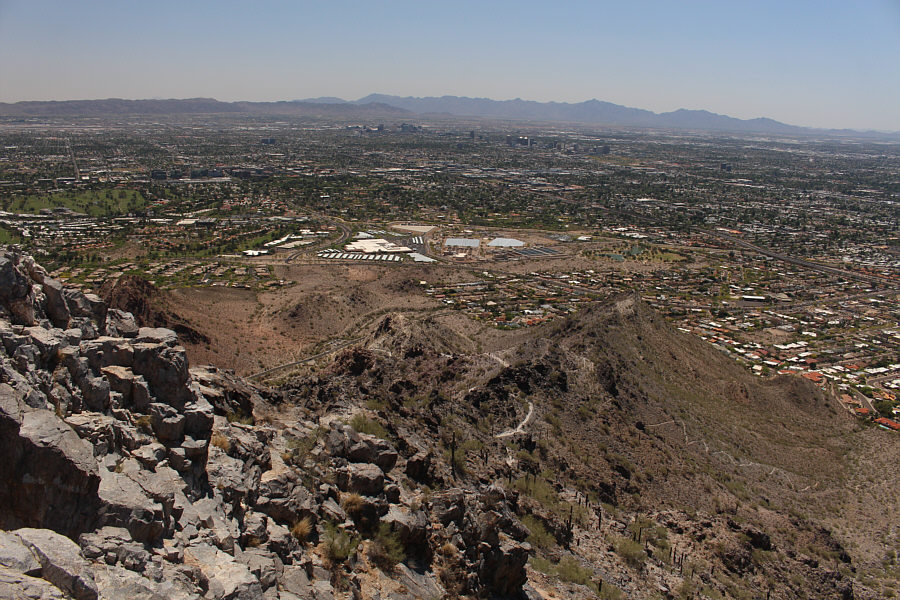 |
This is looking back down the southwest ridge of Piestewa Peak. Downtown Phoenix can be seen in the distance. |
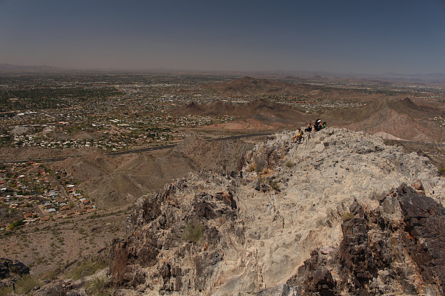 |
Some other hikers relax on the lower subsidiary summit. |
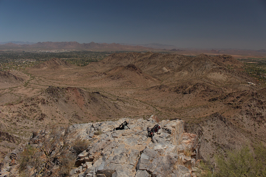 |
Northeast of Piestewa Peak is an oasis of undeveloped desert in the midst of the city. On the horizon right of centre are the Four Peaks. |
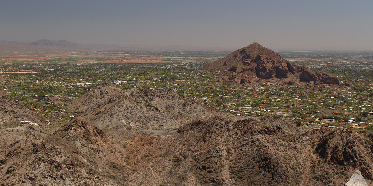
Camelback Mountain sits to the southeast. Visible on the left horizon are the Superstition Mountains.
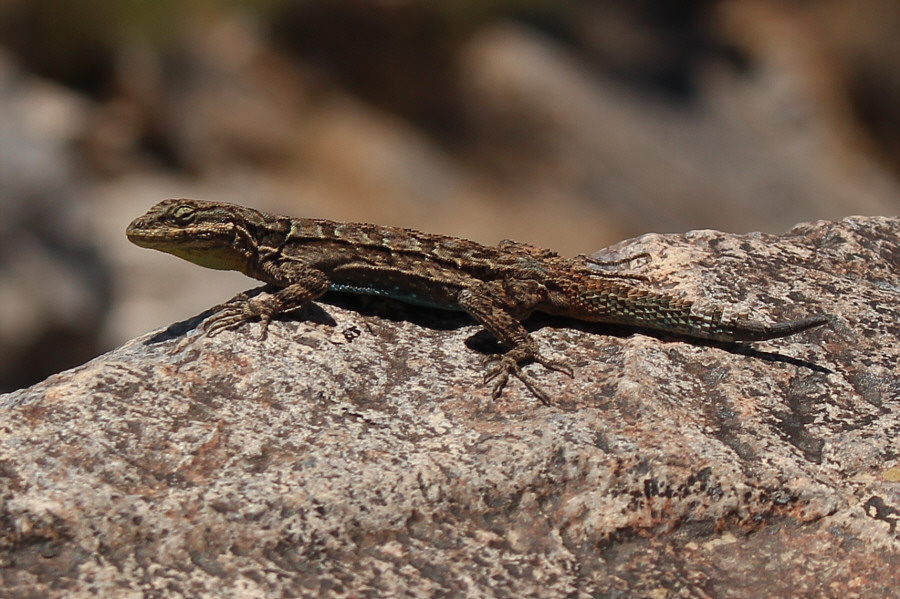 |
This ornate tree lizard appears to be re-growing a new tail. |
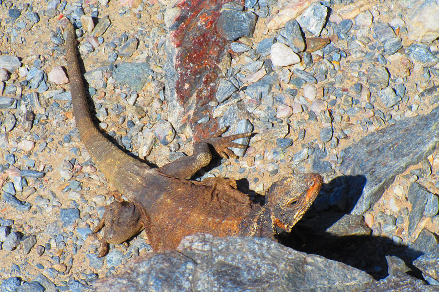 |
A common chuckwalla rests beside the trail watching hordes of people walk
by. Photo courtesy of Zosia Zgolak |
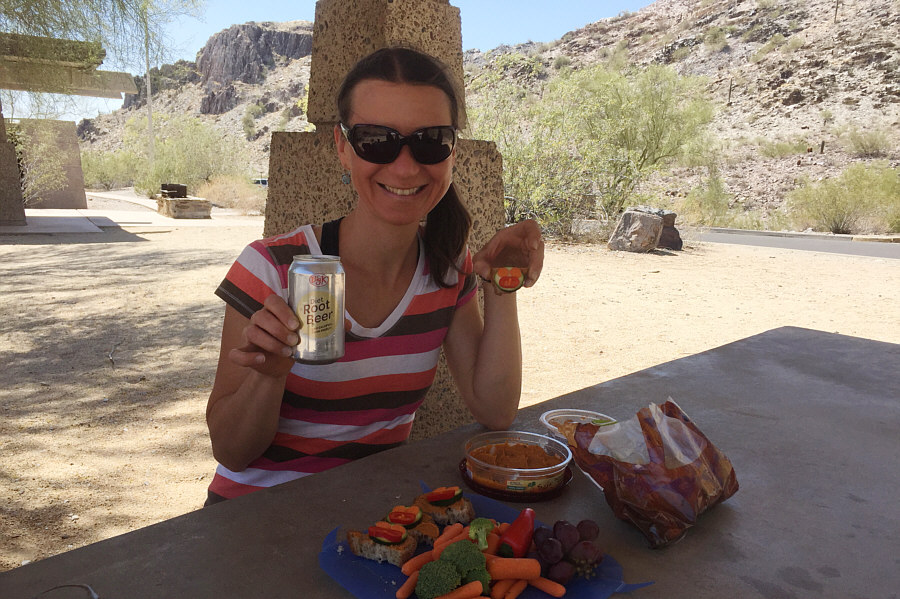 |
After the hike, Zosia sits down for lunch under a ramada near the trailhead. |
 |
Total Distance:
4.6 kilometres Round-Trip Time: 2 hours 39 minutes Net Elevation Gain: 358 metres |