|
|
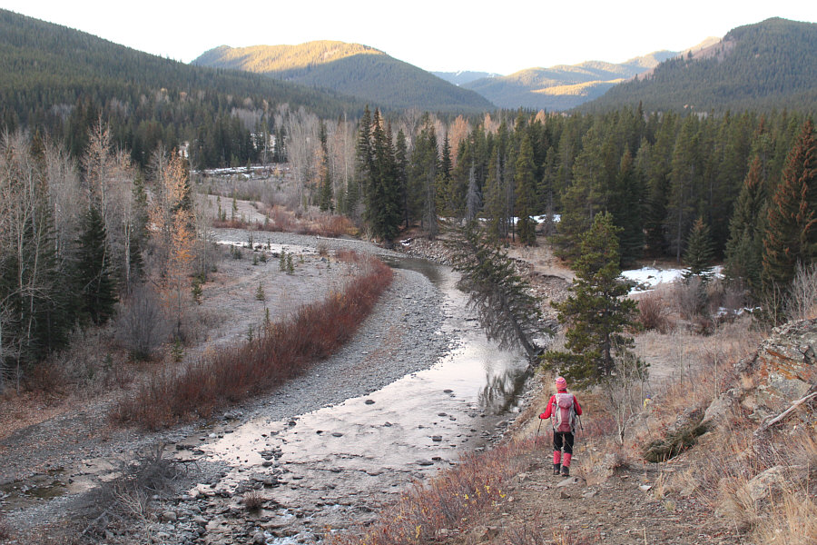
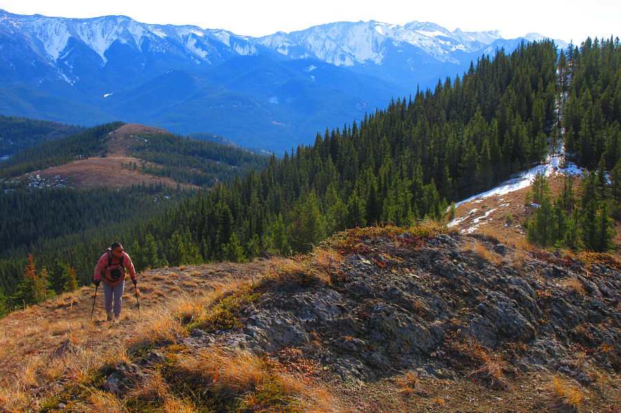
After a brief climb, Zosia descends the trail which runs along the north bank of Racehorse Creek. |
|
|
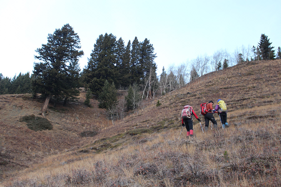
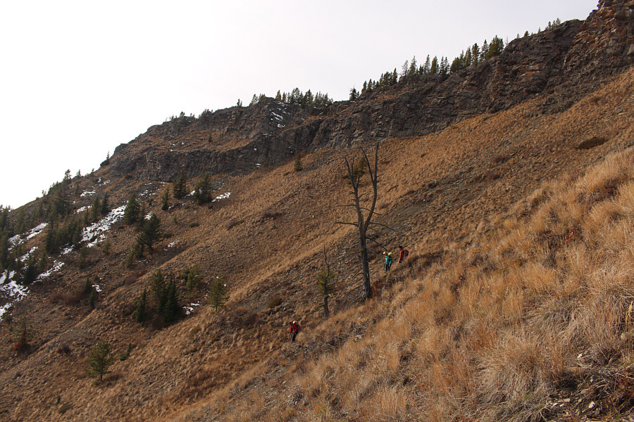
Zosia, Ali and Marta climb in earnest up a steep grassy slope. |
|
|
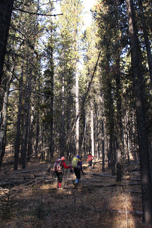
Bushwhacking through the forest in this area is generally light. |
|
|
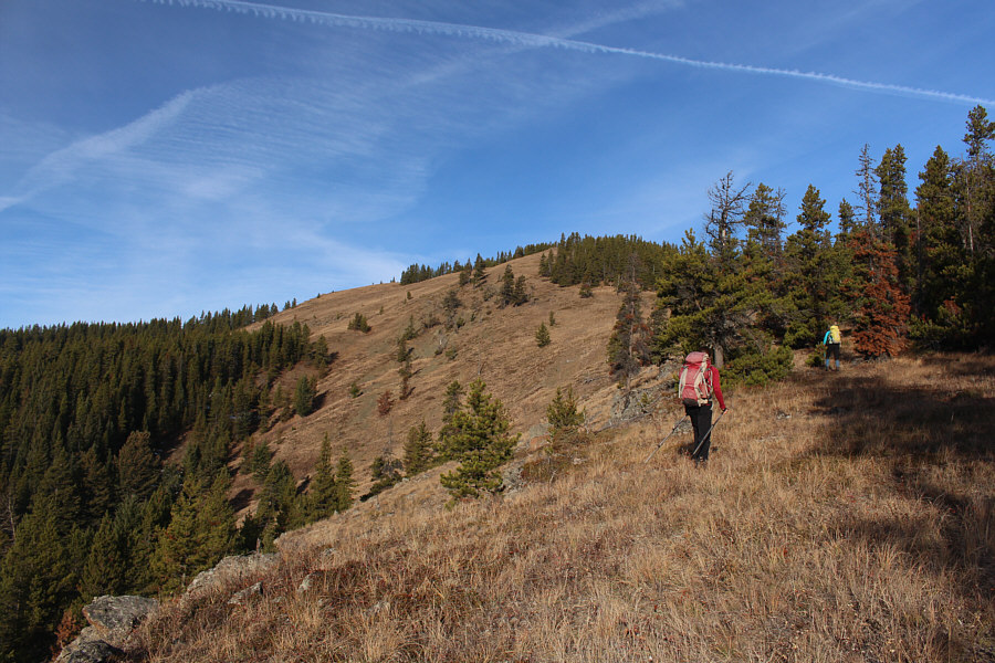
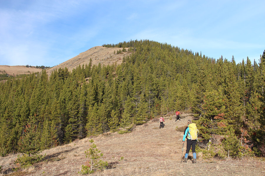
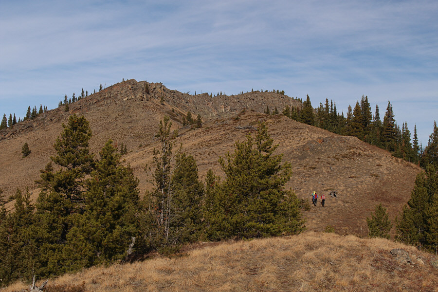
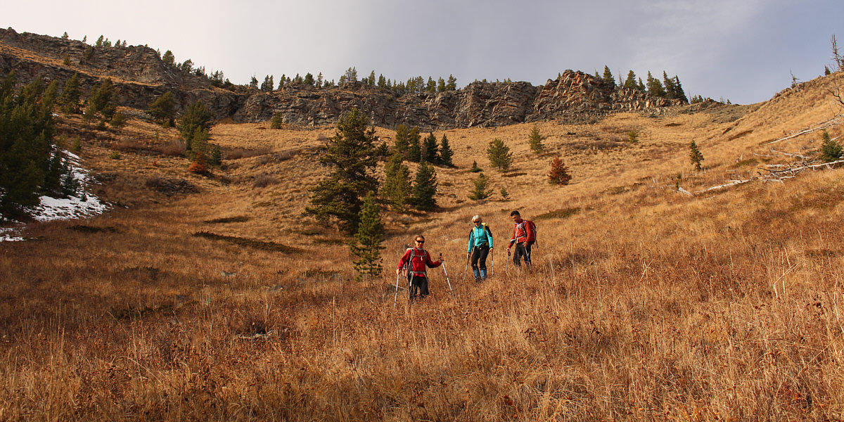
Zosia and Marta hike up an open bench to the first high point along the route. |
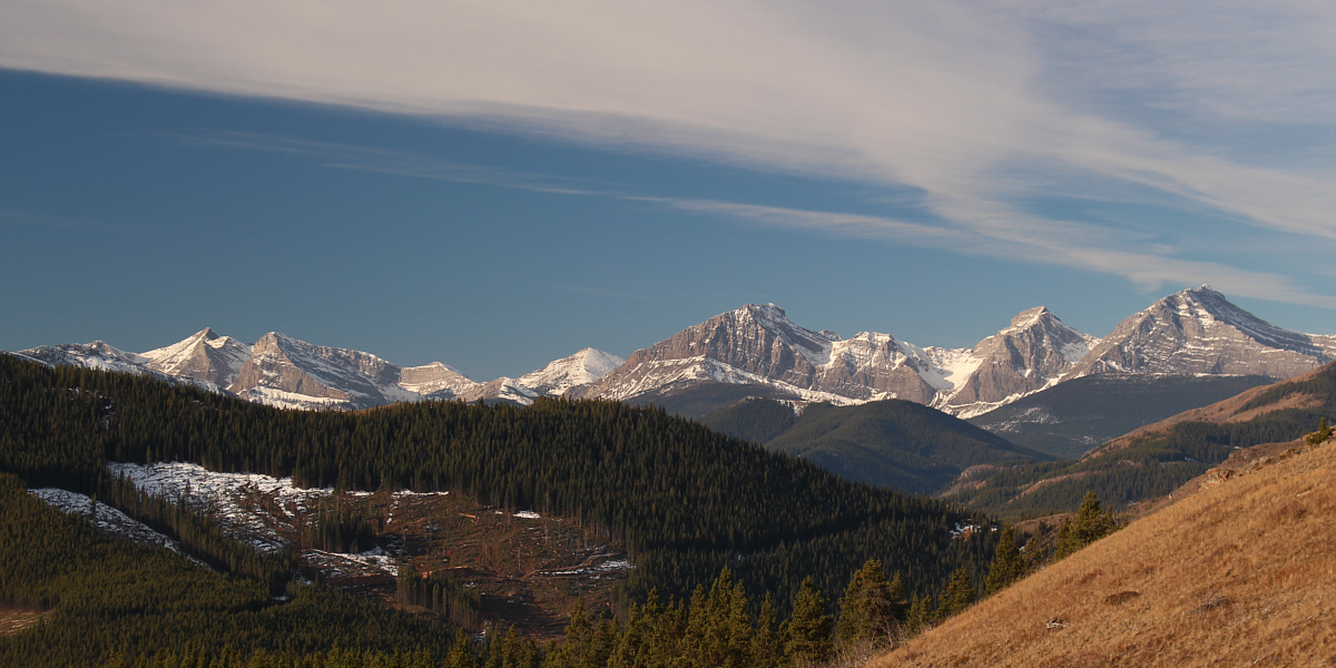
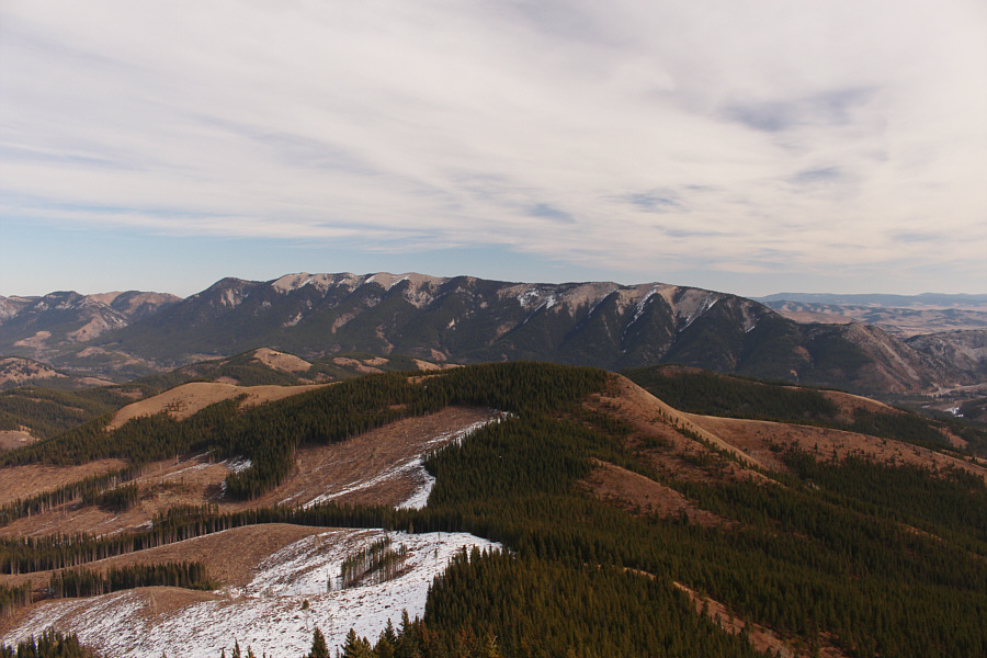
From near the top of the first high point, the array of peaks visible to the southwest include Window Mountain, Allison Peak, Mount Ward, Mount Racehorse and Racehorse Peak.
Here is the first glimpse of Fly Hill from near the top of the first high point.
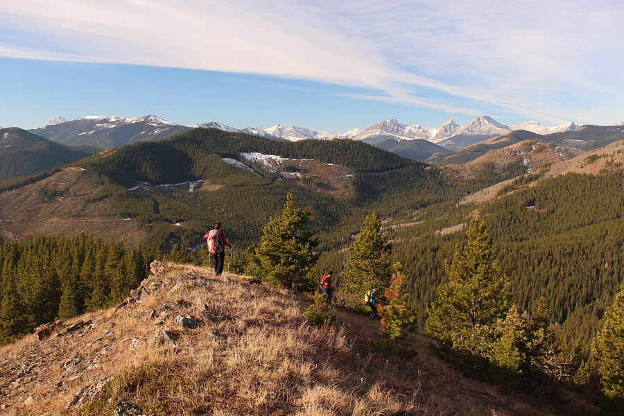
From the first high point, Ali, Marta, Zosia and I
dropped down the west end and skirted along the edge of a clearcut before
climbing up to a second high point. We then descended the northwest
side of the second high point into a thick patch of forest and eventually
gravitated to a steep open slope which leads to the top of a third high
point.
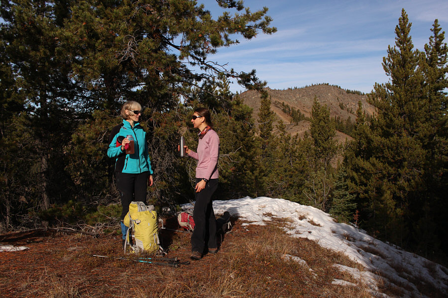
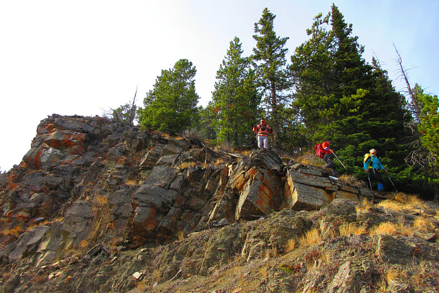
After taking a quick break on the third high point, we dropped down a
short cut-line to the north and climbed up to the base of some cliffs
guarding the summit ridge of Fly Hill. As mentioned in Spirkos
report, we found a hidden weakness in the cliffs and had no difficulties
gaining the summit ridge. We subsequently traversed over the actual
high point of Fly Hill and then took another break at a cairn near the
north end of the summit ridge.
 |
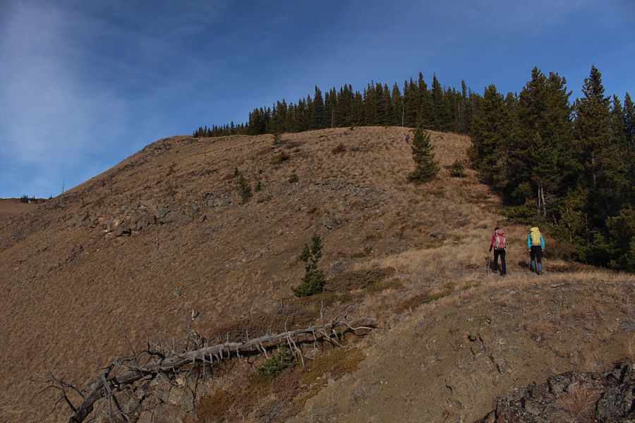
Zosia, Ali and Marta drop down the west end of the first high point. |
 |
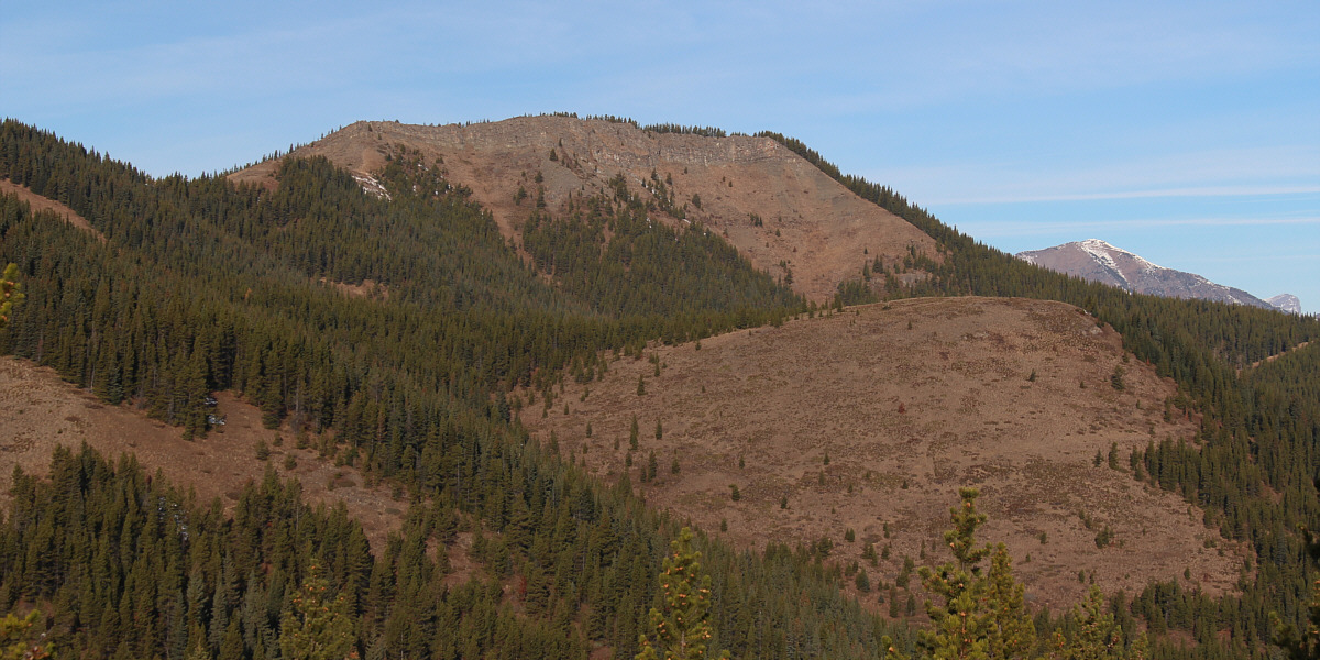
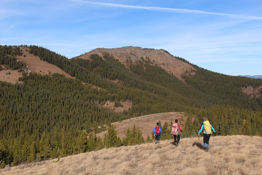
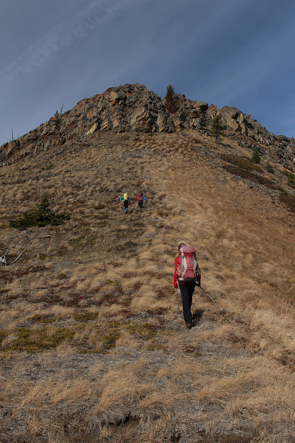
The second high point along the route is straight ahead with Fly Hill visible at right. |
 |
After dropping down from the first high point, the group begins to climb up the second high point ahead. |
 |
Zosia and Marta follow Ali up to the top of the second high point. |
 |
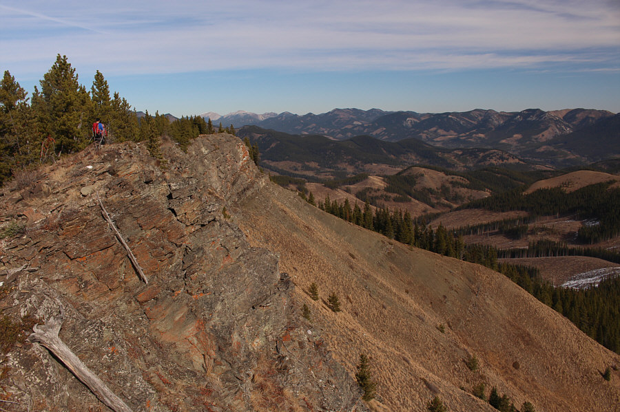
From the top of the second high point, the group aims for the open slope at left leading to a third high point. |
 |
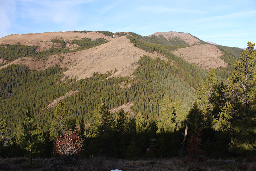
Marta and Zosia take a break near the top of the third high point. Fly Hill is visible through the trees at right. |
 |
The group crosses a saddle between the third high point and Fly Hill. |
 |
After descending from the third high point along the cut-line at far
right, Sonny climbs up the last section before the summit ridge of
Fly Hill. The second high point can be seen behind Sonny. Photo courtesy of Zosia Zgolak |
 |
The group approaches the base of the cliffs guarding the south end of Fly Hill's summit ridge. A weakness in the cliffs can be found behind the big tree. |
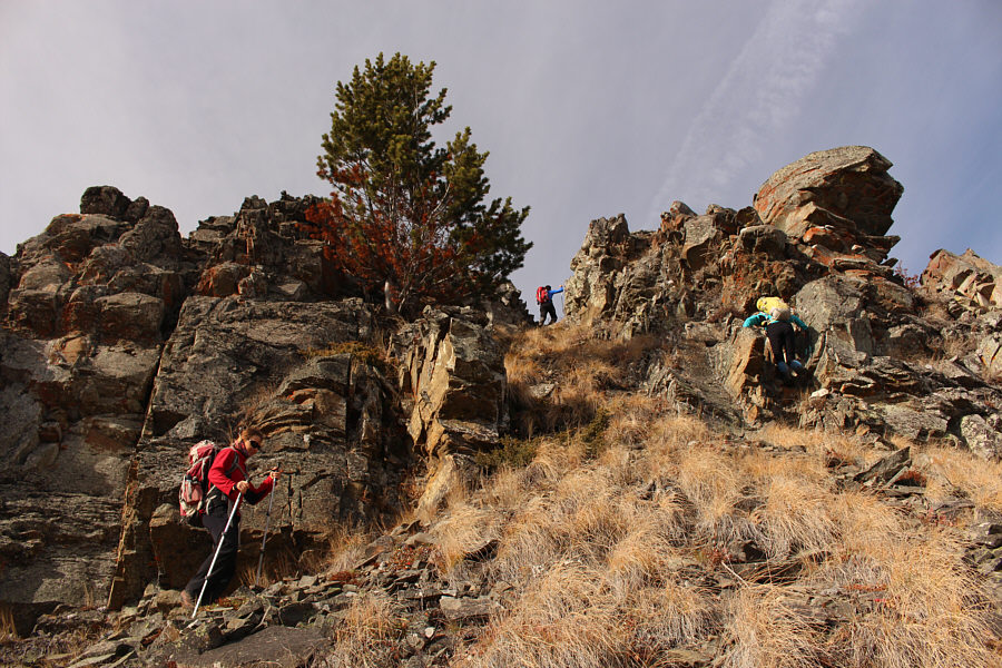 |
The weakness in the cliffs is revealed. |
 |
The high point of Fly Hill (2001 metres) is somewhere along this stretch of the summit ridge. The bump at the far end has a cairn but is slightly lower than the actual high point. |
 |
Zosia, Ali, Marta and Sonny have a Pocky stick fight at the Fly Hill cairn (1999 metres). |
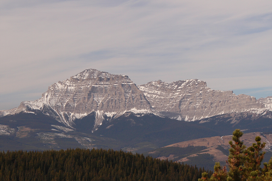 |
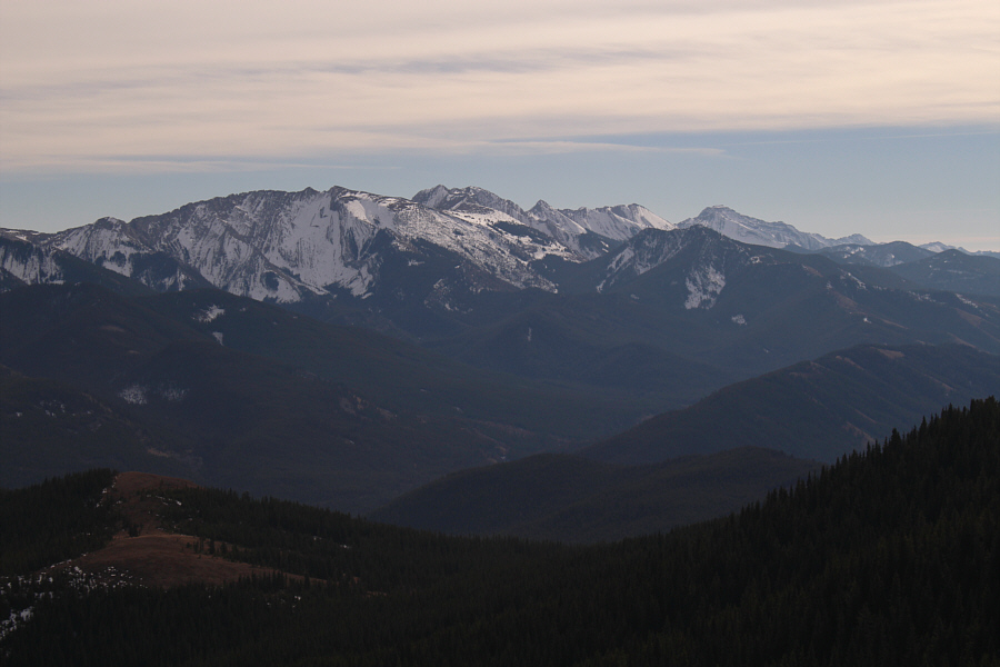
The Gould Dome massif can be seen to the west through a break in the trees. |
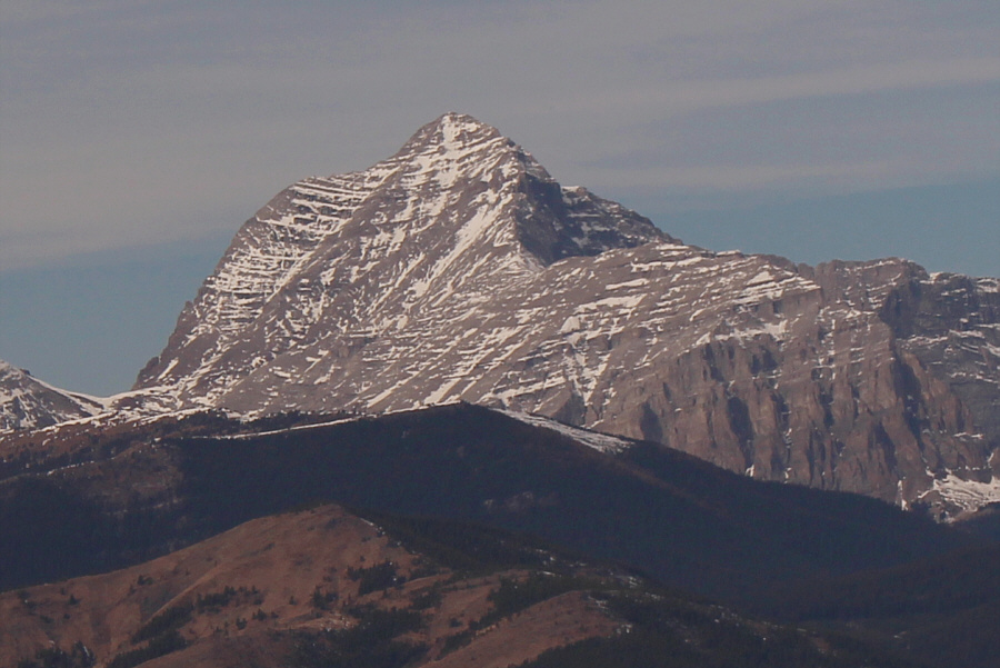 |
To the northwest, Tornado Mountain is the highest in the High Rock Range. |
 |
To the northeast, Livingstone Lookout sits atop what is now generally known as Thrift Peak. |
 |
Lightning Peak (centre) and Centre Peak (right) round out the views to the southeast. |
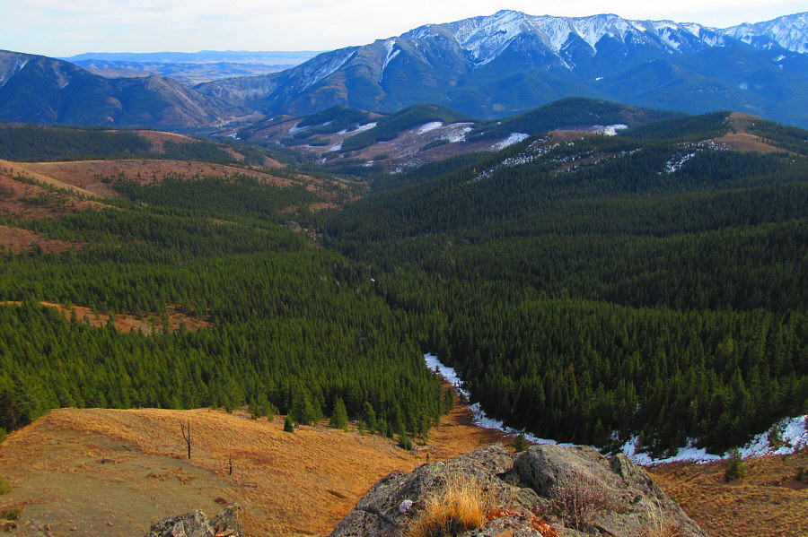 |
Fly Creek valley runs east of Fly
Hill. Photo courtesy of Zosia Zgolak |
 |
Sonny, Ali and Marta carefully descend
the cliffs below the cairn. Photo courtesy of Zosia Zgolak |
 |
Zosia, Marta and Ali drop down the steep slopes east of Fly Hill. |
This is looking back up at the east cliffs of Fly Hill.
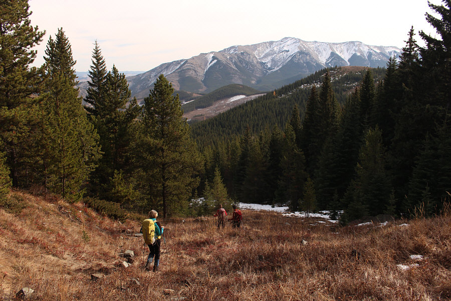 |
The group enters Fly Creek valley. Thunder Mountain is visible in the distance. |
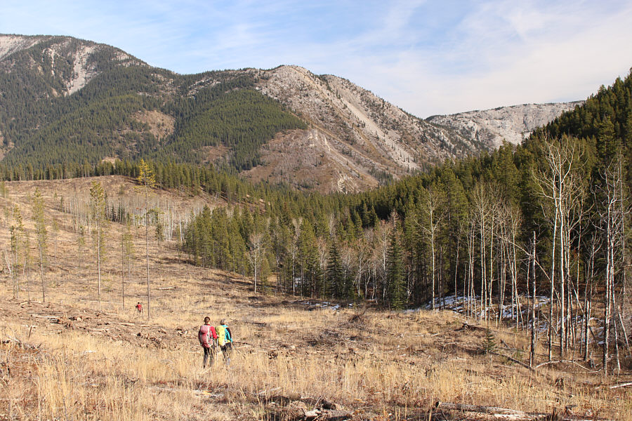 |
The group crosses one of many clearcuts in Fly Creek valley. |
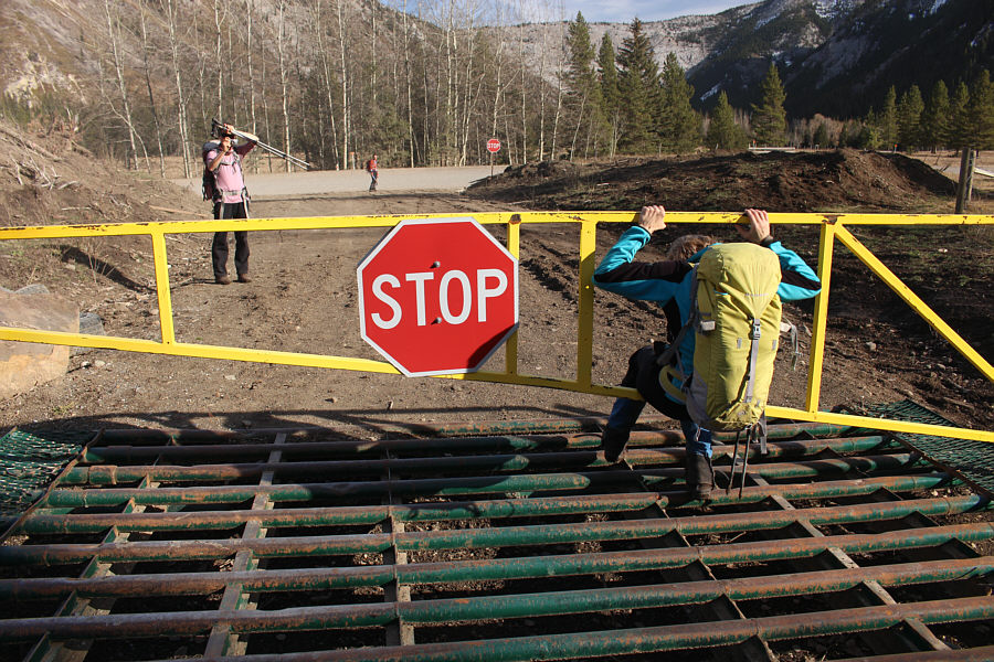 |
Marta squeezes past a locked gate with a cattle guard just before the Forestry Trunk Road. |
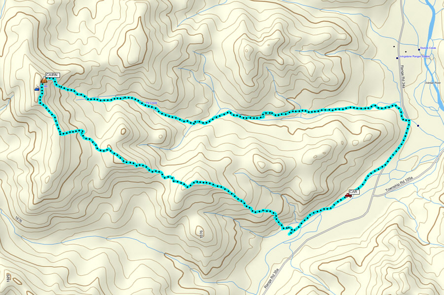 |
Total
Distance: 13.2 kilometres Round-Trip Time: 6 hours 42 minutes Net Elevation Gain: 644 metres |