Photo courtesy of Zosia Zgolak
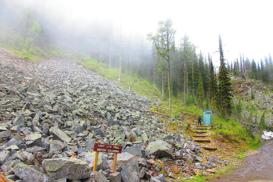
Photo courtesy of Zosia Zgolak


From the lookout, we continued north along the connecting
ridge to the next high point (49.721945, -115.601944; I refer to this
summit as "L1") which is identified
as the summit of Lakit Mountain according to numerous sources including
Google Maps,
Bivouac.com, the BC Geographical Names
website,
and the Natural Resources Canada (NRC)
website.
Curiously, the accompanying map for the NRC website's Lakit Mountain page
is at odds with the presented location information. The map, which
is an online version of NTS map 082G/12, marks the summit of Lakit
Mountain on a lower peak further to the north (49.730521, -115.604811; I
refer to this summit as "L3").
To add to the confusion, the higher bump to the northeast (49.729065,
-115.593439; I refer to this summit as "L2") is regarded as the summit of Lakit Mountain by
goldenscrambles.ca and by Janice Strong in her guidebook, Mountain
Footsteps: Hikes in the East Kootenay of Southeastern British Columbia.
Incidentally, Bivouac.com states that ""Lakit" is Chinook Jargon for
"four"." If Lakit Lookout is also considered a separate summit,
then the name makes a lot of sense!
In any case, getting to L1 entails some easy scrambling
with mild exposure, but we had no serious issues here. From L1, we continued along the ridge to a juncture between the three
different summits. This part of the ridge is guarded by some
challenging pinnacles, and we had to do a little route-finding to bypass
these obstacles. Upon reaching the aforementioned juncture, we
veered right and easily hiked up to L2, the highest of the three summits.
Unfortunately, clouds obscured all views from this summit, and we did not
linger for long before descending back to the juncture. Since we
still had lots of time and energy, we decided to drop down the ridge to
the north and tag L3. The large boulders on this last
ridge are a bit awkward and tedious to descend, but with some patience,
we managed to get down to the low point without slipping into any of the
gaping chasms along the way. We easily reached L3
after a short ascent from the low point. Since there was not one
present, Zosia built a small cairn on this summit.
Having tagged all the summits that Lakit Mountain had to offer, we
retraced our steps up the ridge with the large boulders and climbed back
over L1. We eventually worked our way back to Lakit Lookout, and from there, we enjoyed an uneventful descent back to
my car.
The long and bumpy drive back to Fort Steele went without a hitch, and we subsequently stopped at a rest area along the highway for dinner before finding a nice spot to camp for the night.
|
|
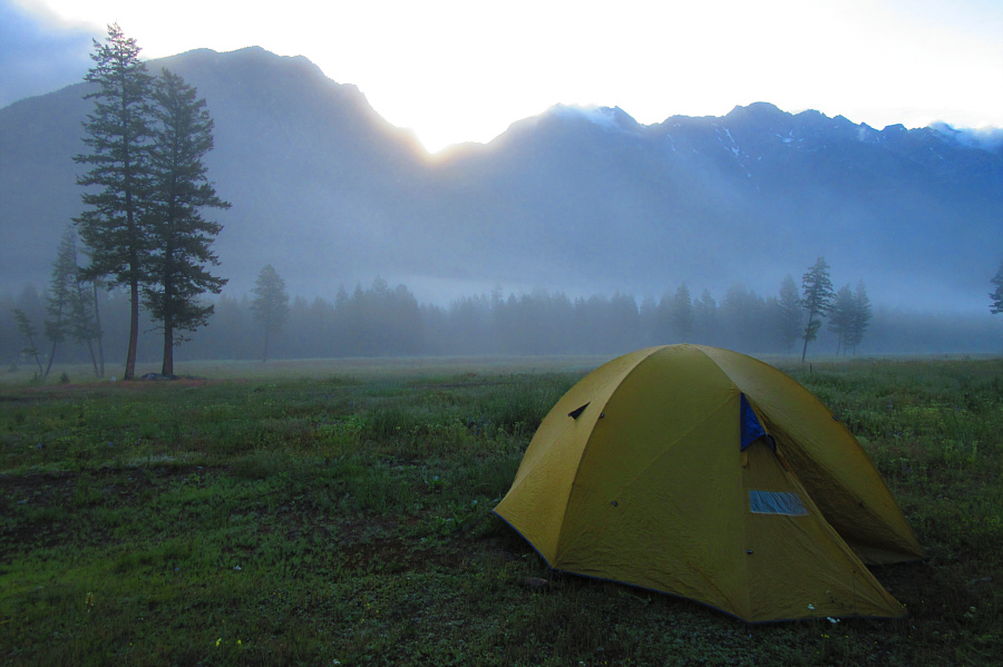
The morning sun peeks over The
Steeples behind Sonny's tent at
Horseshoe Lake campground. Photo courtesy of Zosia Zgolak |
|
|
Sonny visits the pit toilet at the
trailhead. Photo courtesy of Zosia Zgolak |
|
|
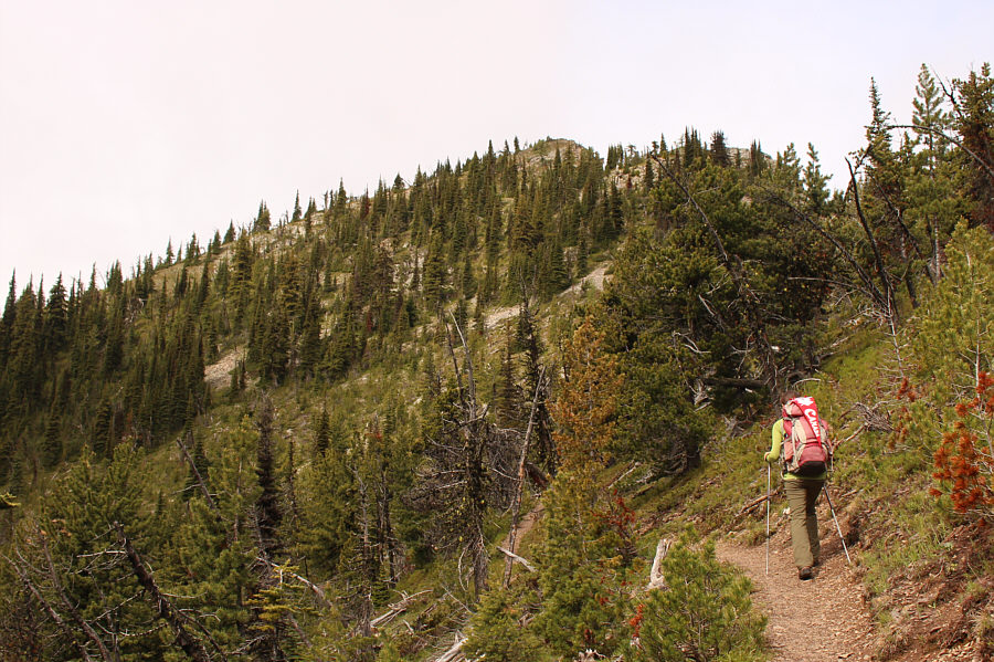
Leslie and Zosia start up the trail to Lakit Lookout. |
|
|
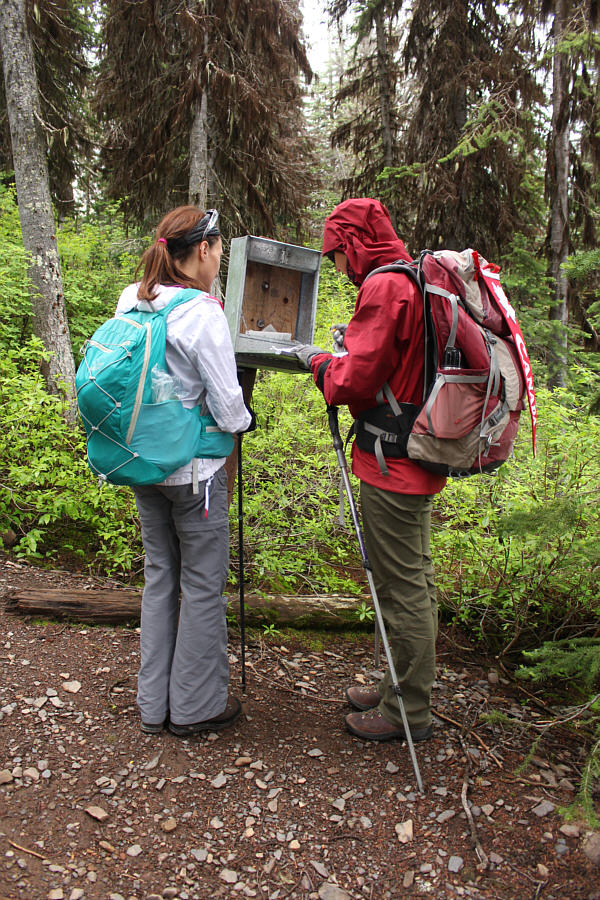
Leslie watches Zosia sign the register near the trailhead. |
|
|
Zosia climbs the well-maintained trail to Lakit Lookout. |
|
|
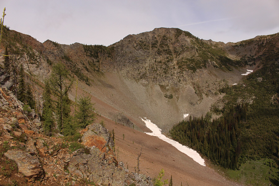
Zosia and Leslie pause along the trail to look at L2 across the basin. |
|
|
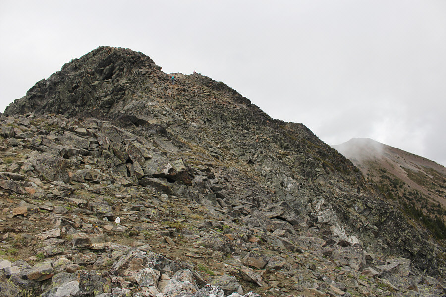
L1 commands the head of the basin. |
|
|
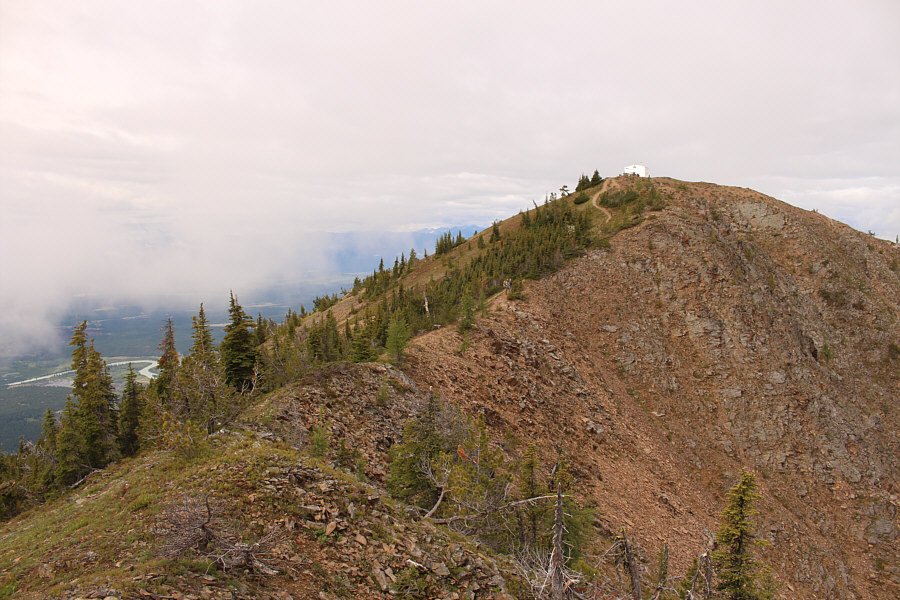
Lakit Lookout is in sight. Barely visible in the trees below the obvious trail is an outhouse. |
|
|
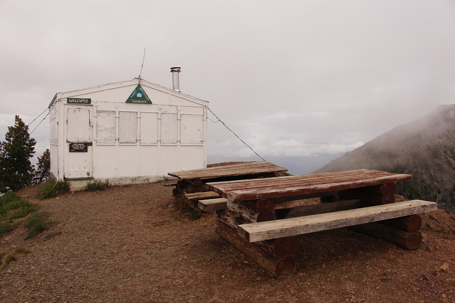
A couple of picnic tables sit in front of Lakit Lookout (2350 metres). Built in 1977, this lookout building is a replica of the original one built in 1955 and is equipped with a wood stove (bring your own wood). The building is free to be used as an overnight shelter on a first-come, first-served basis. |
|
|
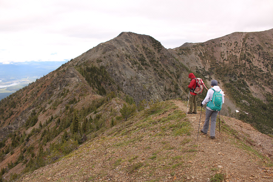
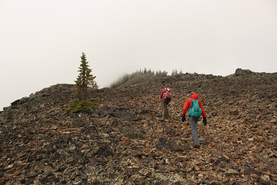
Zosia and Leslie hike the connecting ridge to L1. |
|
|
Traversing the connecting ridge entails some delightful scrambling. |
|
|
Leslie and Zosia scramble to the top of L1. L2 is visible through the mist at right. |
|
|
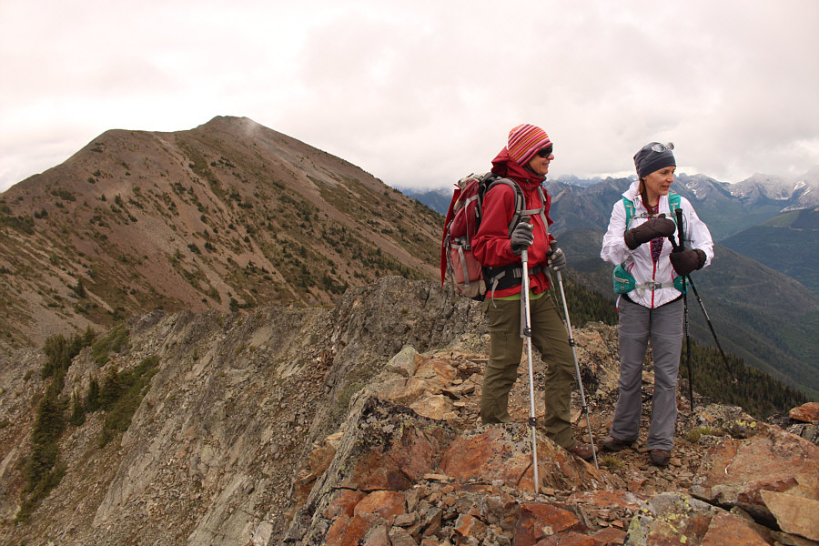
Zosia and Leslie stand atop L1 (2424 metres). L2 is visible at left. |

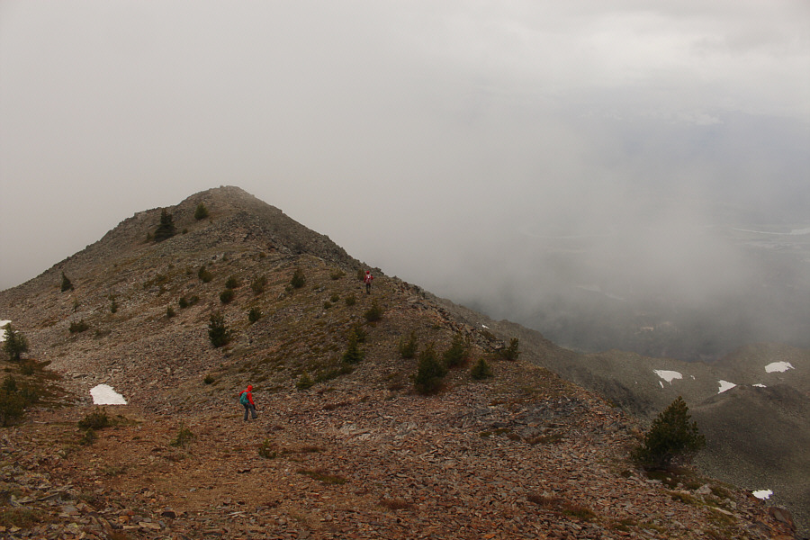
Leslie and Zosia descend the north ridge of L1 en route to L2 (right). At distant left is the highest summit of Mount Bill Nye.
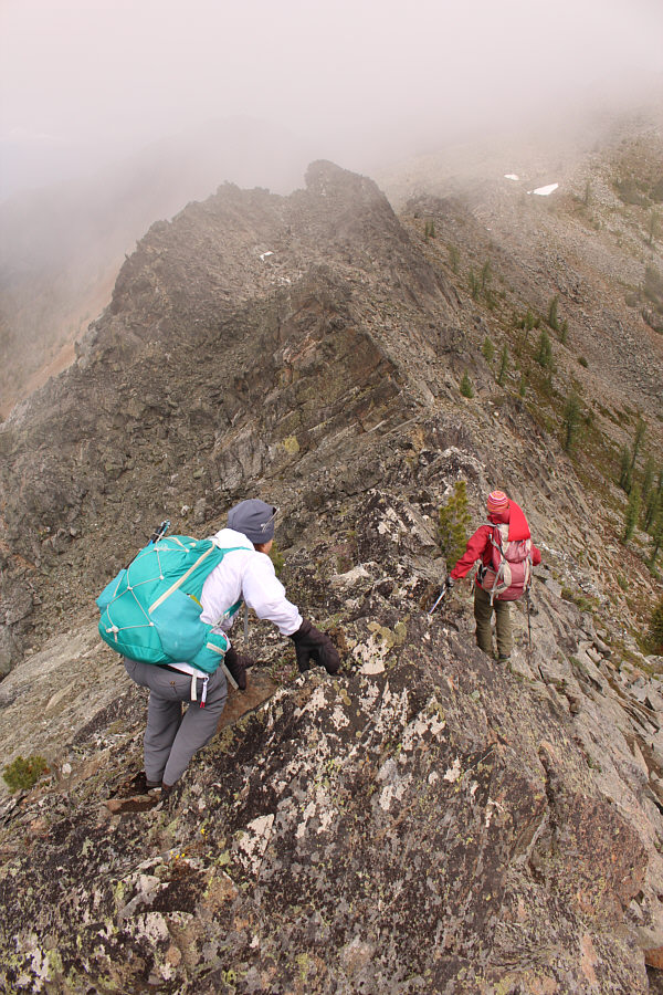 |
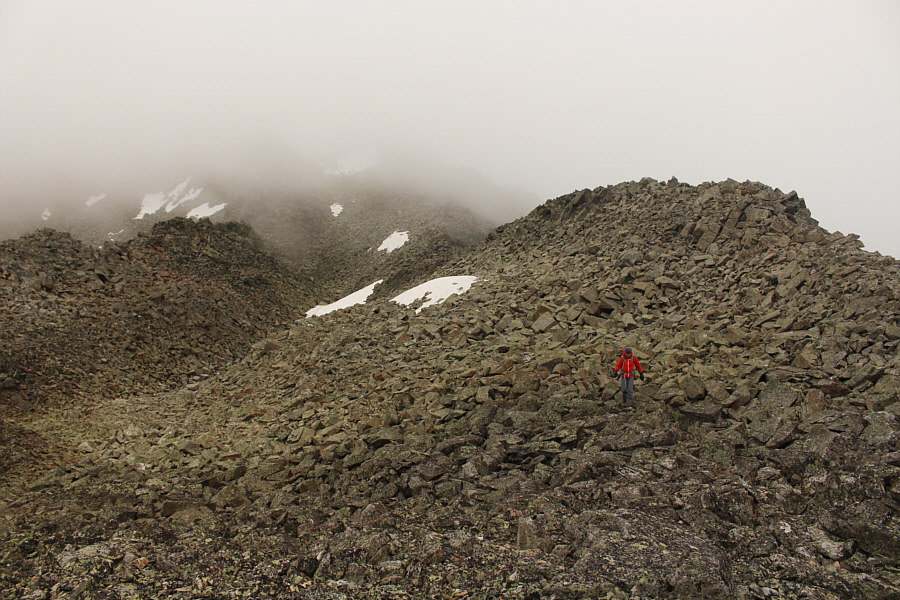
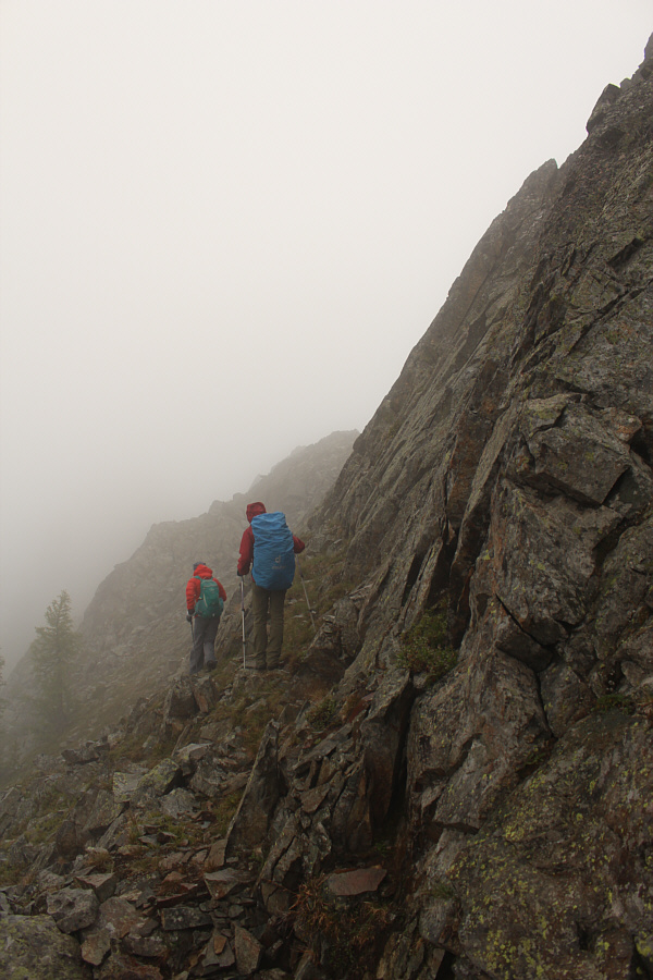
The north ridge of L1 is more complicated than expected and requires some good route-finding to avoid sections that may require technical climbing. |
 |
Zosia and Leslie reach the top of L2. |
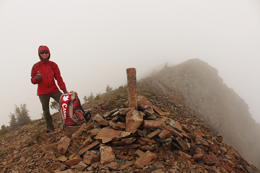 |
Despite the lack of views, Zosia still gives a "thumbs up" to L2, the highest summit of Lakit Mountain (2528 metres). |
 |
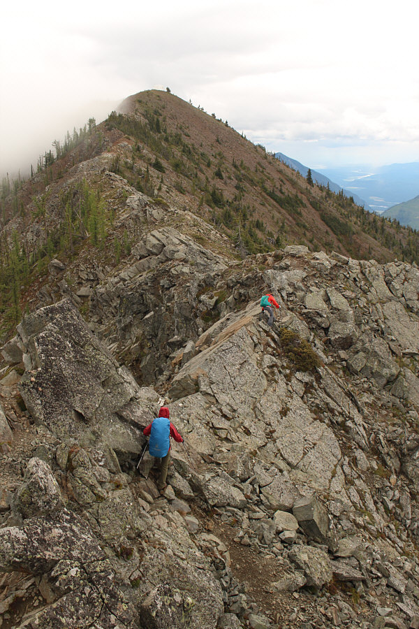
Leslie and Zosia reach the juncture between the three different summits of Lakit Mountain. The ridge to L3 is visible at lower right. |
 |
Leslie carefully picks her way down the rugged terrain of the connecting ridge to L3. |
 |
From the low point of the connecting ridge, Zosia and Leslie climb the final stretch to L3. |
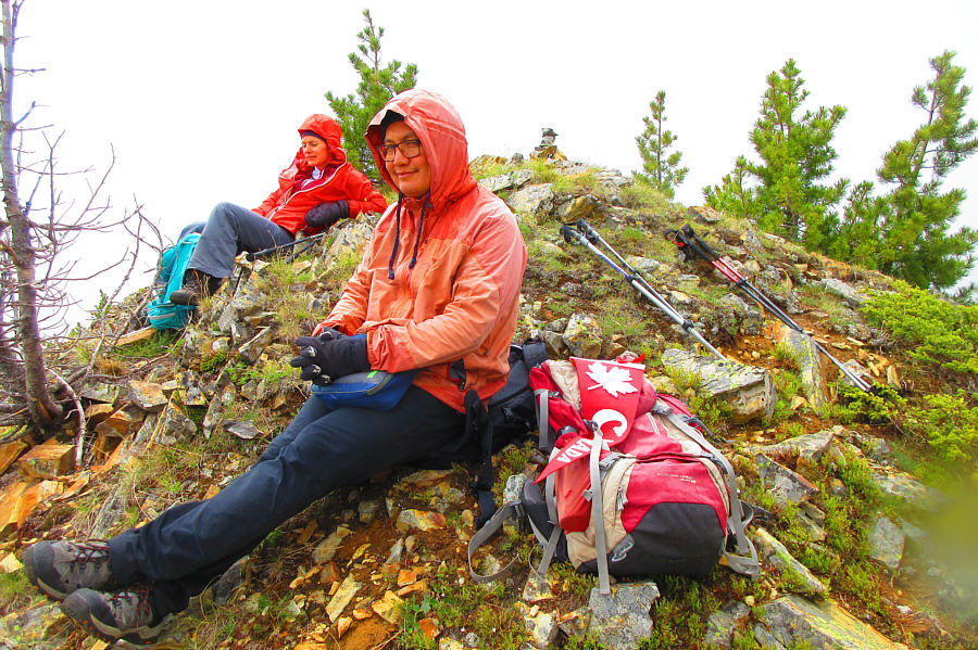 |
Leslie and Sonny take a break near the
top of L3. Photo courtesy of Zosia Zgolak |
 |
After leaving L3, Zosia and Leslie scramble back up the ridge to the juncture between the three different summits. |
 |
Leslie and Zosia carefully work their way back along the north ridge of L1. |
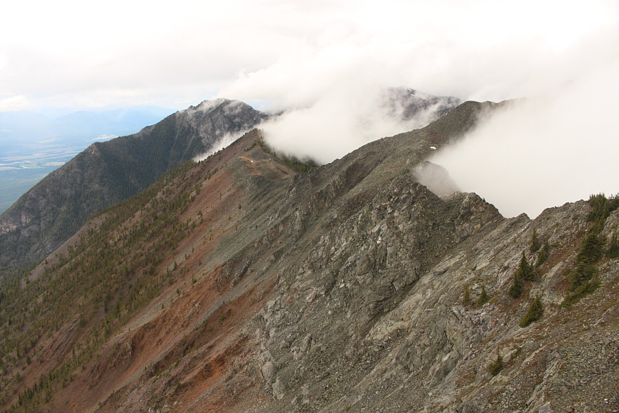 |
The mist briefly clears to reveal L3 (left of centre) in this view from the top of L1. The darker peak behind L3 is the gazetted summit of Mount Bill Nye. |
 |
Zosia and Leslie head back to Lakit Lookout. The white exterior of the lookout building makes it a bit hard to see in this flat light. |
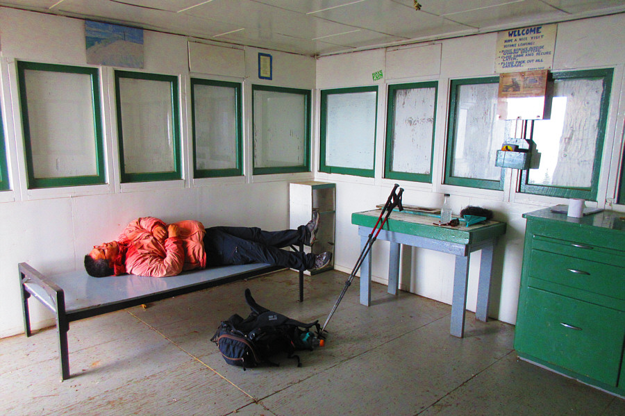 |
Sonny relaxes on the cot inside the
lookout building. Photo courtesy of Zosia Zgolak |
 |
At a rest area about 4 kilometres
north of Fort Steele, Sonny digs into an apple crumble pie while
Zosia awaits her turn. Photo courtesy of Leslie Pryslak |
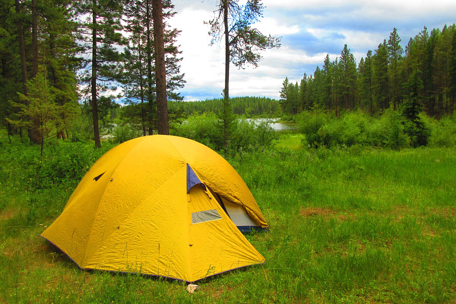 |
Sonny's tent sits near the north shore
of
Johnson Lake. Photo courtesy of Zosia Zgolak |
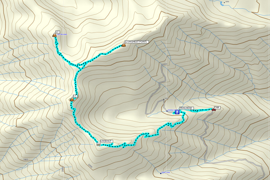 |
Total
Distance: 10.9 kilometres Round-Trip Time: 7 hours 4 minutes Total Elevation Gain: 1042 metres |