


From Highway 95, turn west onto Lee Canyon Road (Highway 156) and drive for 28 kilometres to Bristlecone trailhead at the end of the road just past the ski resort entrance. Be sure not to park at the very end in the cul-de-sac which is a No Parking zone.
The temperature was quite frosty as I set off along the official Bristlecone trail. About 1.6 kilometres from the trailhead, a short cut trail branching off to the left has proven to be the more popular route of choice. The short cut trail is unsigned, but it is well-defined and generally easy to follow. However, even with a helpful GPS track provided to me by avid local hiking expert, Shin Goto, I still ended up off-track when I inadvertently turned onto an incorrect fork on the short cut trail (on my way back later in the day, I built a couple of cairns to make the junction clearer). Fortunately, it was not too difficult to find the correct trail and get back on track. The short cut trail eventually rejoins the official trail, and I settled into a lengthy and undulating hike along the ridge leading to McFarland Peak.
|
|
The Upper Bristlecone trailhead is located at end of Secondary Road 156 just past the Lee Canyon ski resort. |
|
|
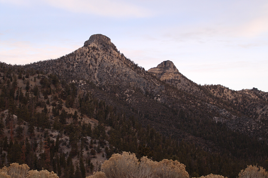
The Sisters are visible from the trailhead. |
|
|
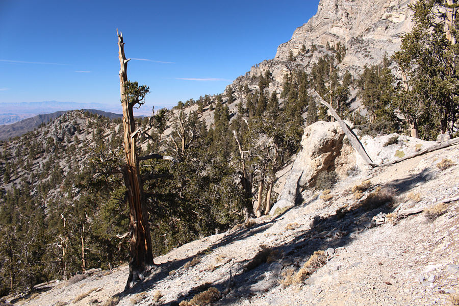
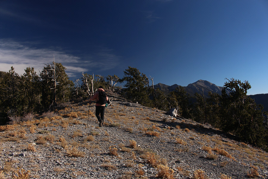
The short cut trail is mostly well-defined. |
|
|
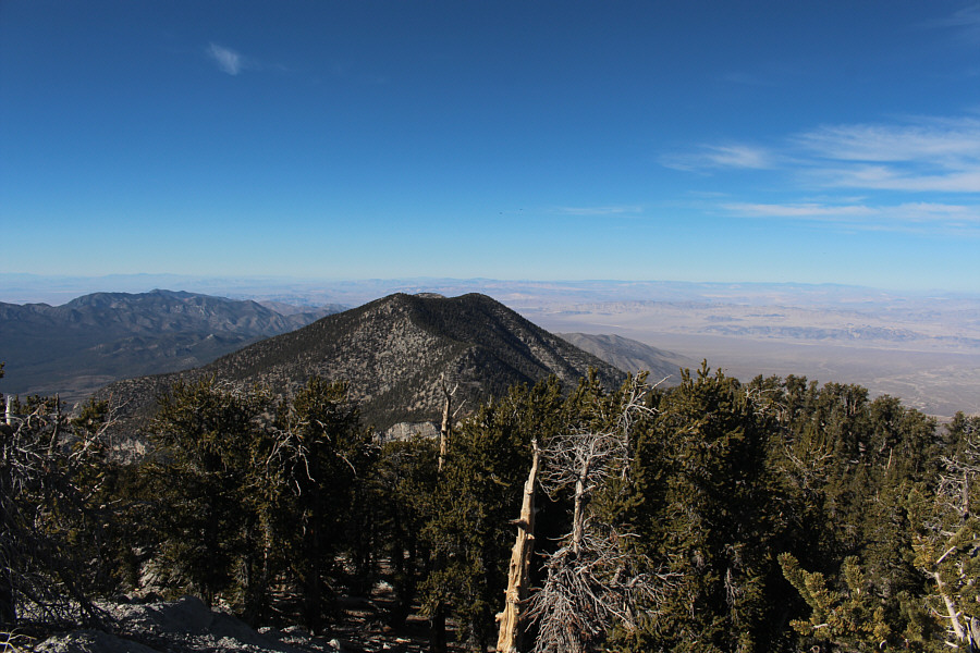
Sonny gets his first clear glimpse of McFarland Peak in the distance. |
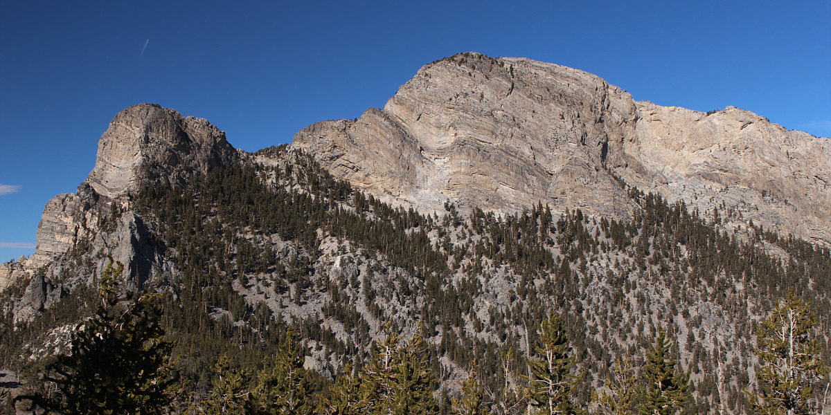
Here is a closer look at McFarland Peak from the south.
At the base of the peak, the trail switchbacks and begins to descend the slope to the west. I left the official trail here and followed a spur trail to a broad gully which grants access to the summit ridge. Ascending the gully is mostly a steep Class 2 grunt, but about halfway up, a short exposed ramp requires some hands-on scrambling. Two cairns mark the end of the gully and the start of the broad summit ridge. The rest of the ascent is easy hiking, and I was soon standing atop the fourth highest peak in the Spring Mountains.
 |
This is the spot to leave the main trail which switchbacks and descends the slope at far left. A spur trail marked with cairns continues straight and to the right. |
 |
Various beaten paths with cairns head up this steep gully. |
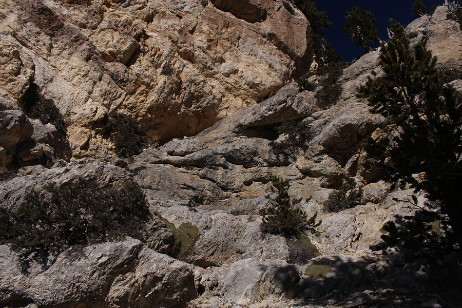 |
Halfway up the gully is this exposed ramp which is the crux. |
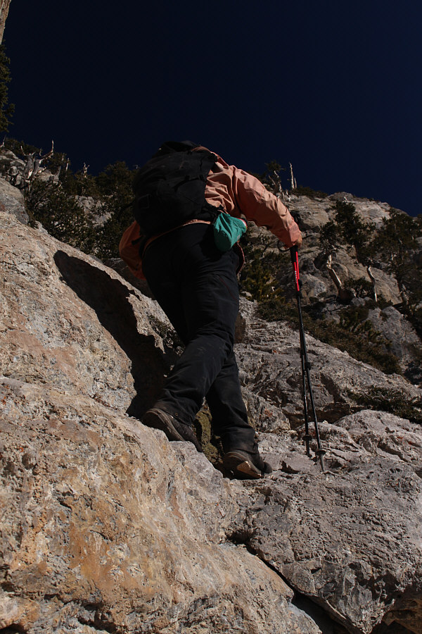 |
Sonny scrambles up the crux. |
 |
A couple of cairns mark the top of the gully. |
Sonny stands on the summit of McFarland Peak (3271 metres).
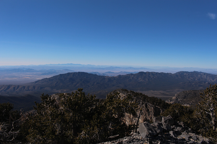 |
In this view to the west, Telescope Peak is visible on the left horizon over 120 kilometres away. |
 |
Bonanza Peak is a mere 2.8 kilometres to the northwest. |
 |
The unofficially named Macks Peak sits to the northeast. |
 |
Mummy Mountain dominates the view to the southeast. Barely discernible in the foreground at left are The Sisters. |
 |
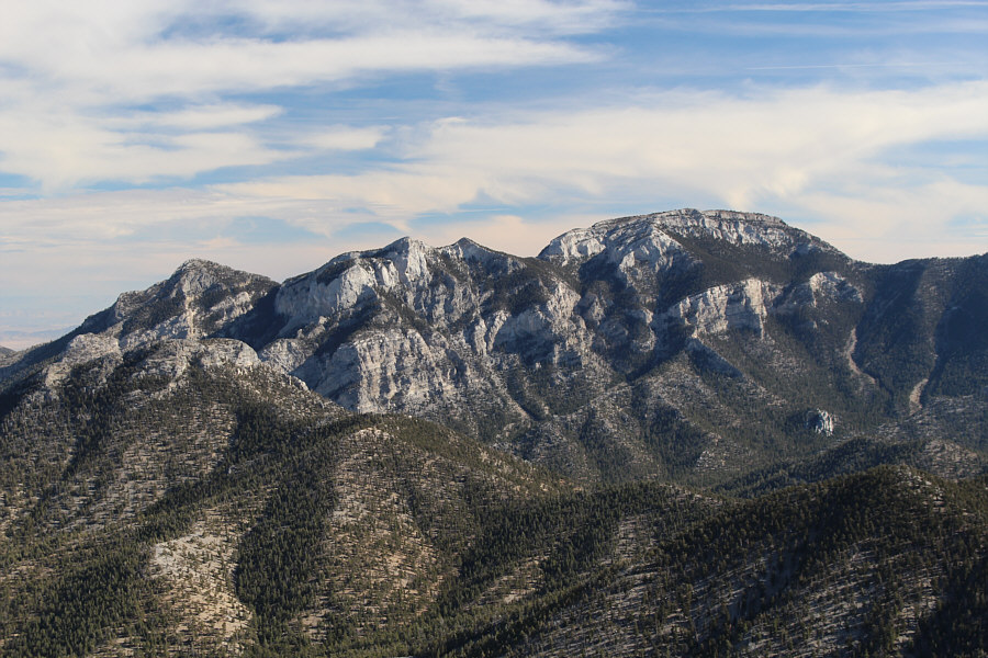
To the south, Charleston Peak is the highest in the Spring Mountains. |
 |
Sonny carefully descends the crux. |
 |
Back on the main trail, Sonny settles into a long hike back to the trailhead. |
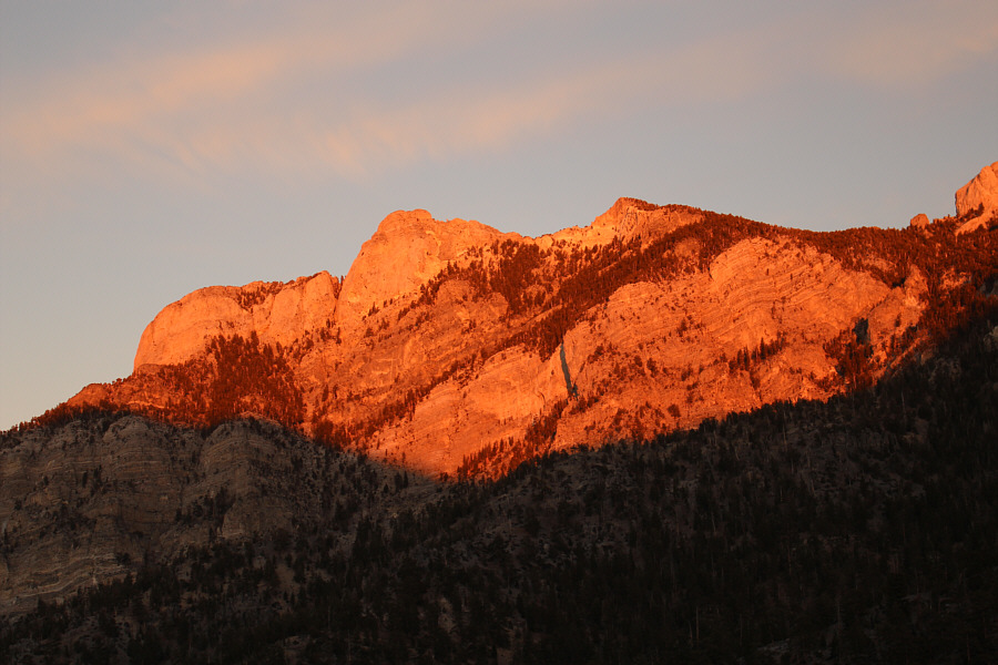 |
The late day sun sets the "head" of Mummy Mountain ablaze. |
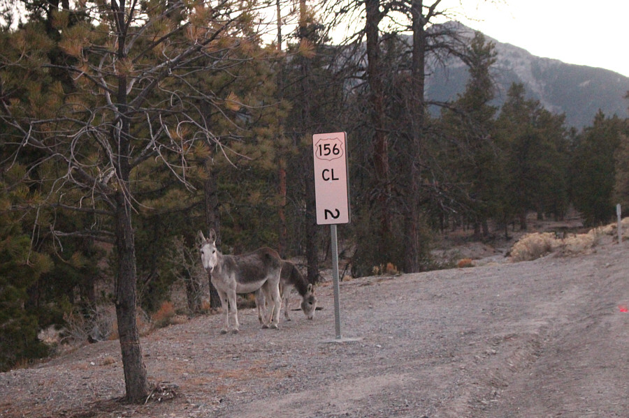 |
A couple of wild donkeys forage beside the highway at an elevation of about 7000 feet. |
 |
Total
Distance: 19.4 kilometres Round-Trip Time: 8 hours 57 minutes Cumulative Elevation Gain: 1156 metres |