BOU AVENUE
Mount Norman
On 3 June 2018, Zosia Zgolak and I successfully ascended Mount Norman in the vicinity of Diana Lake which is about 31 kilometres north of Radium Hot Springs, British Columbia.  While other nearby peaks like The Judge are higher, Mount Norman is strangely the only officially-named summit in the area.  The trailhead access via Pinnacle Creek forestry road and the initial approach along Diana Lake trail are described in Hikes Around Invermere & the Columbia River Valley by Aaron Cameron and Matt Gunn.  For the ascent, we used the southeast gully route as described by Josée Ménard and Fabrice Carrara.

In 2014, I aborted an attempt because the access road had been washed out several kilometres short of the trailhead, but on this occasion, the road was in good shape all the way in.  In fact, we discovered that there is now a new trailhead which saves a bit of distance and elevation gain.  While the original trailhead sign and nearby aluminum bridge are still there, the drivable road has been extended further up the valley.  The new trailhead (sign and cairns) is partway up a steep hill just past the second of two bridges beyond the old trailhead.  There is a convenient pullout for parking a few metres uphill of the new trailhead.

From the new trailhead, it took Zosia and me about 45 minutes to hike along the good trail to the start of an obvious gully which was still full of snow.  We donned our crampons here and left the trail to begin a long trudge up the gully.  The snow was generally very supportive, and we made slow but steady progress up the mountain.  About two-thirds of the way up, the snow petered out in the gully, and we removed our crampons before resuming our climb.  The gully opens up into more of an amphitheatre on the upper mountain, and the terrain is both steep and loose here.  Some route-finding is necessary to find the easiest line up to the summit ridge, but with the dry conditions we had on the upper mountain, this was not too difficult to do.

Upon reaching the summit, we took a well-deserved break for photographs and food, but incoming rain clouds soon prompted us to start our descent.  As it turned out, only a very light sprinkling of rain fell, and we managed to carefully retrace our steps back to the snow-filled gully without incident.  Because the surface of the snow in the gully was inundated with rocks and debris, we opted to boot-ski instead of glissade down.  We initially had to be extra cautious as a few thinner sections of snow in the upper gully were starting to collapse.  I also had a couple of short involuntary slides on the way down, but otherwise, the rest of our boot-skiing descent was uneventful and even kind of fun.  After regaining the trail, we enjoyed a quick and easy hike back to the trailhead.
The bears apparently love to poop on the road as we counted about three dozen piles of scat during our drive out the next day! 
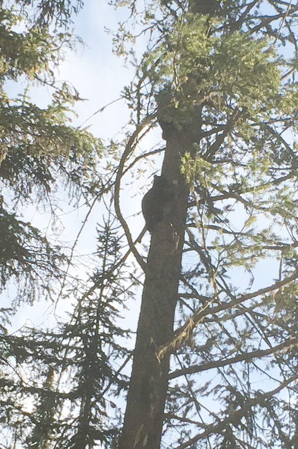
A couple of young black bear cubs scramble up a tree after being startled by Sonny's car on the drive up Pinnacle Creek forestry road.  The cubs' mother already disappeared into some bushes beside the road.  This encounter took place the previous evening (2 June 2018).
Lotsa good info on the sign board! 
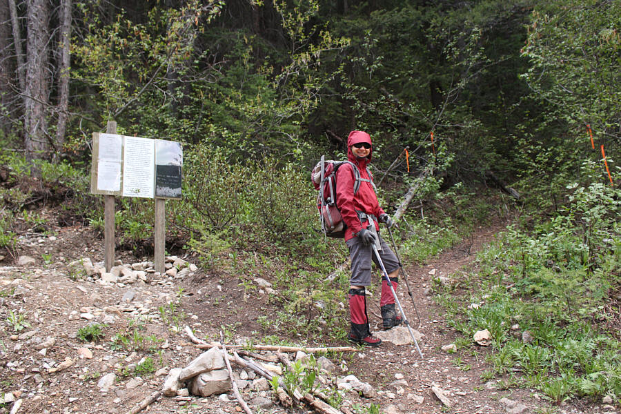
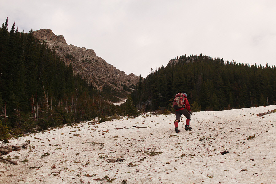
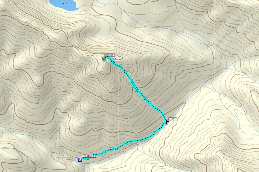
Zosia starts hiking the Diana Lake trail from the new trailhead.
It's probably wise to stay off that snow patch with the creek running underneath! 
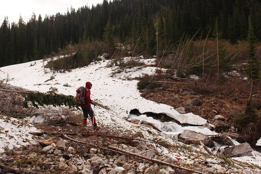
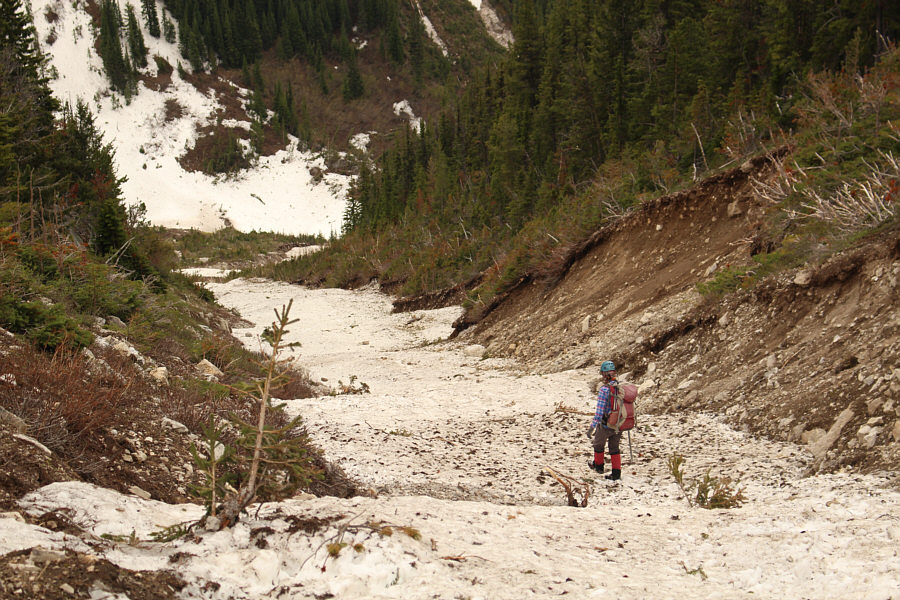
Zosia walks around some avalanche debris beside Pinnacle Creek.
Let the long uphill grind begin... 
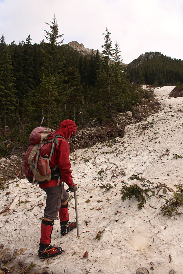
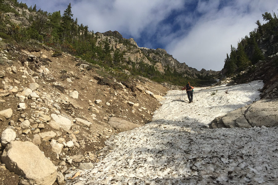
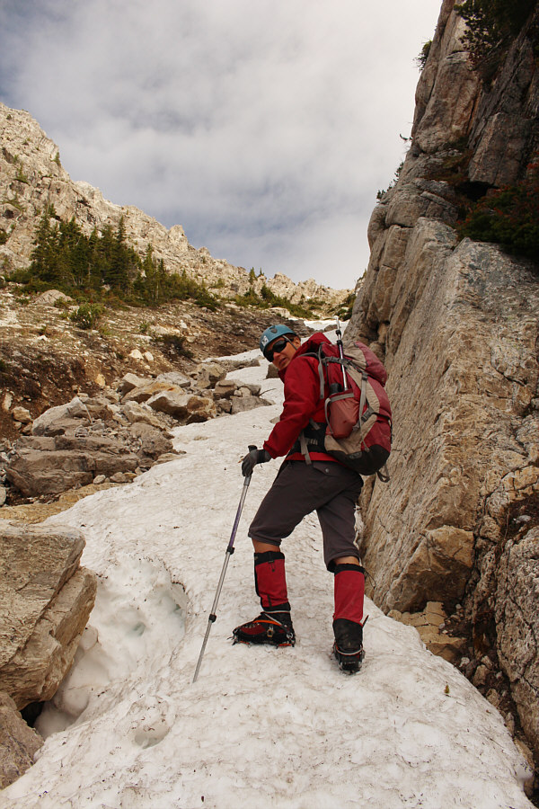
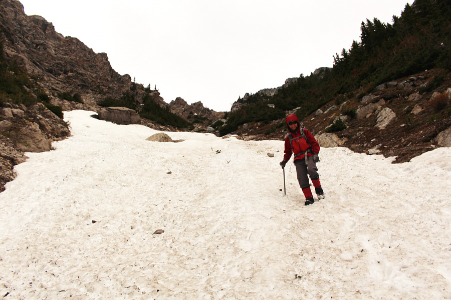
After donning her crampons, Zosia begins trudging up an obvious gully on the southeast side of Mount Norman.
Almost don't need crampons with all the debris on the snow... The gully widens considerably early in the proceedings.
Zosia's camera battery died, so she's using my cel phone to take photos of me! 
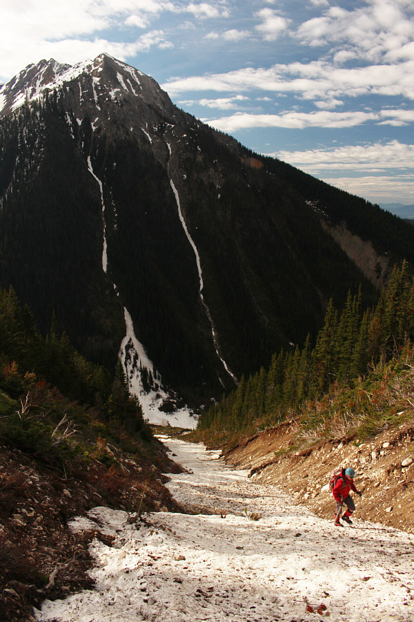
The gully narrows and starts to get steep.
If that peak across the valley was named, we might have been ascending the opposite gully! 
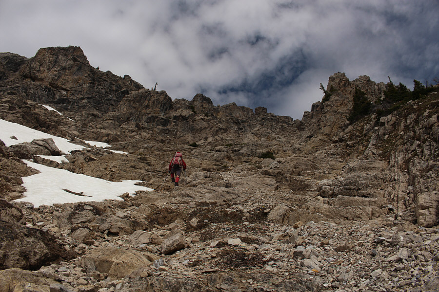
The climb up the gully is long but generally straightforward.

Maybe unclimbed?

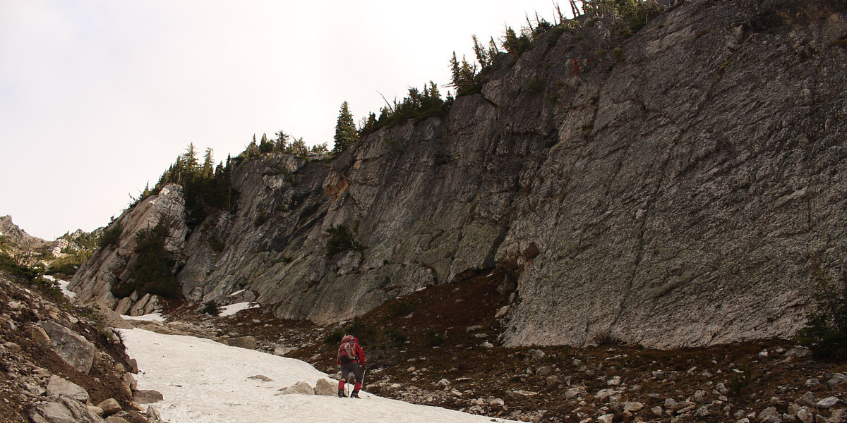
Zosia passes below some impressive rock walls higher up the gully.


Zosia doesn't look too thrilled... The snow patch narrows considerably here.  Some of the snow is also quite thin and prone to collapse.
Still some thins spots here and there... 
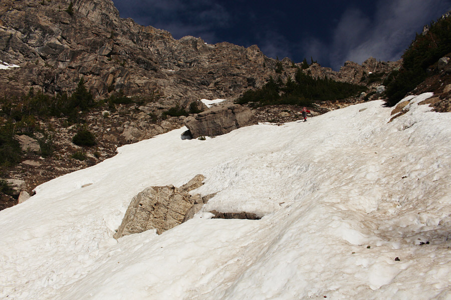
The snow patch widens again as the gully opens up a bit.
Time to take off the crampons! 
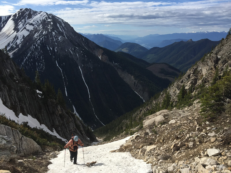
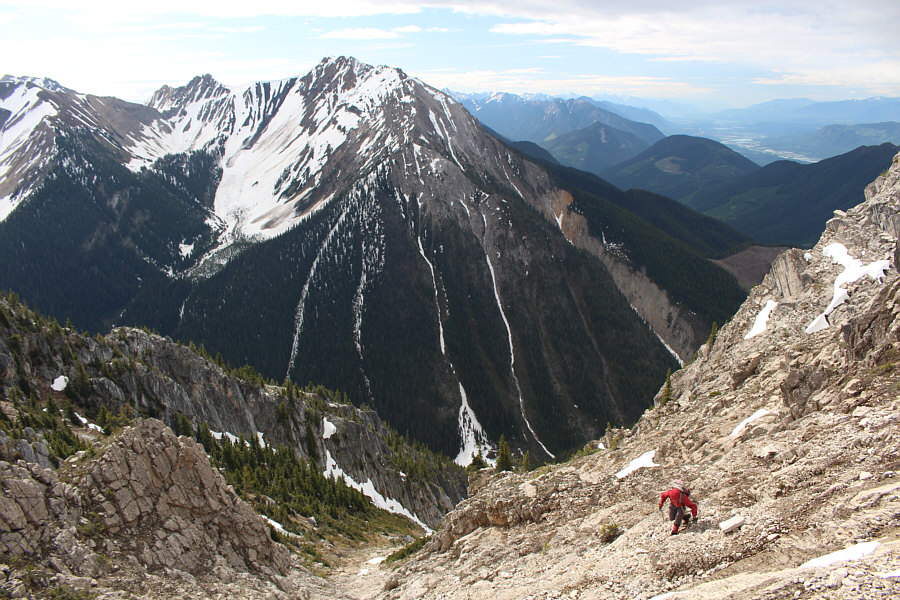
Sonny walks up the last bit of snow in the gully.  The Columbia River valley is visible in the distance.
It's best to avoid the steep stuff to climber's left! Zosia route-finds her way up an open amphitheatre of sorts.
I dunno if I would want to be here if this was snow-covered... 
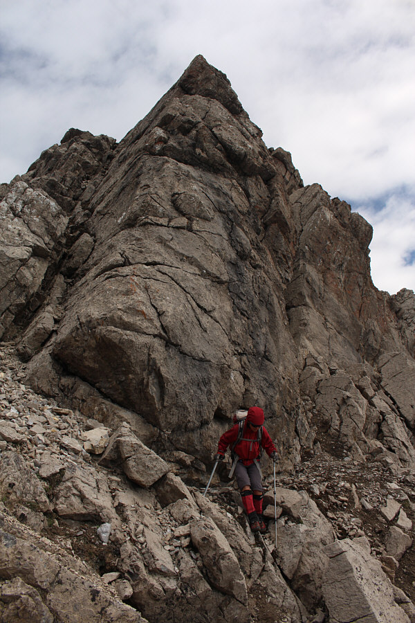
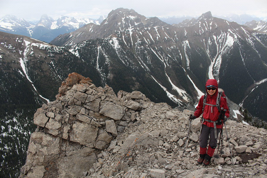
The terrain is steep and loose on the upper mountain.
Good route-finding! 
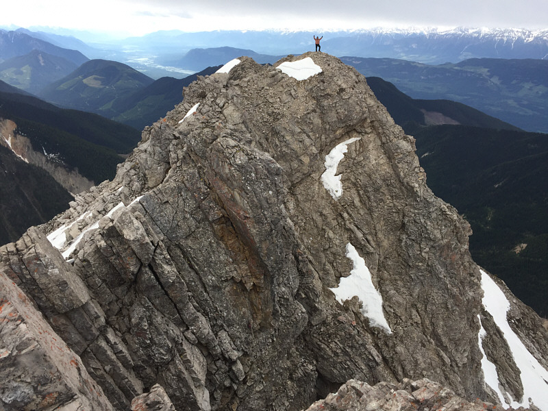
Zosia skirts below a pinnacle on the summit ridge.
It's been a long time coming, but I finally ticked this one off my checklist! Sonny and Zosia stand on the summit of Mount Norman (2519 metres).
There are some interesting ridges in the distance that look very appealing to visit in the future... 
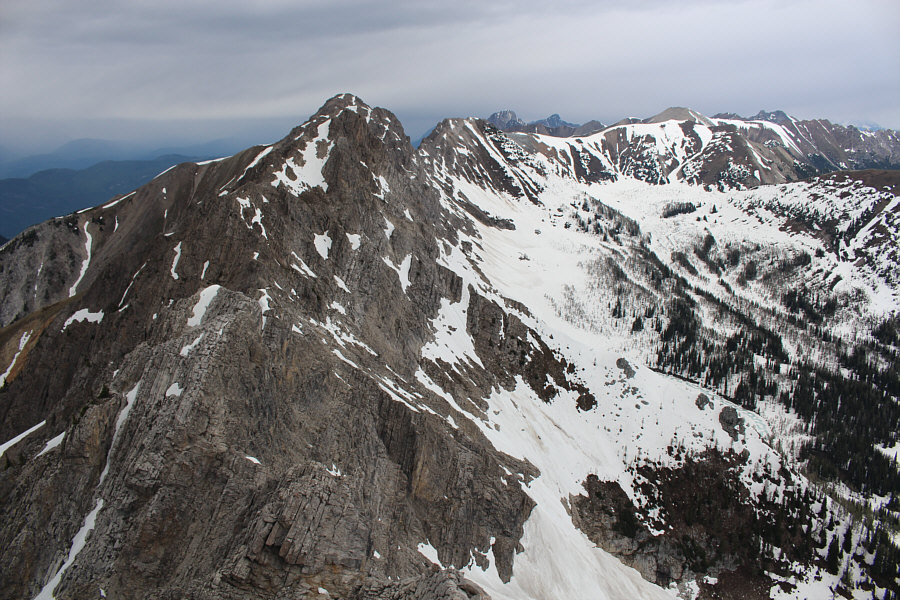
The northwest outlier of Mount Norman is actually higher than the gazetted summit.  Frozen Diana Lake is partly visible at bottom right.

What a gorgeous view of this peak from this angle!

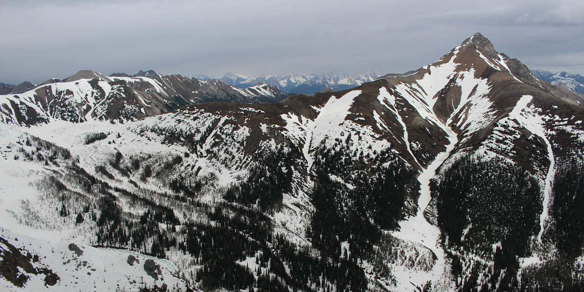
The Judge steals all the attention to the north.


Great shot by Zosia! Just as Josée Ménard had done, Sonny ventures out to the lower south summit.
How many hiking poles does she need? Zosia gets ready to descend as rain clouds move into the area.
Take your time! 
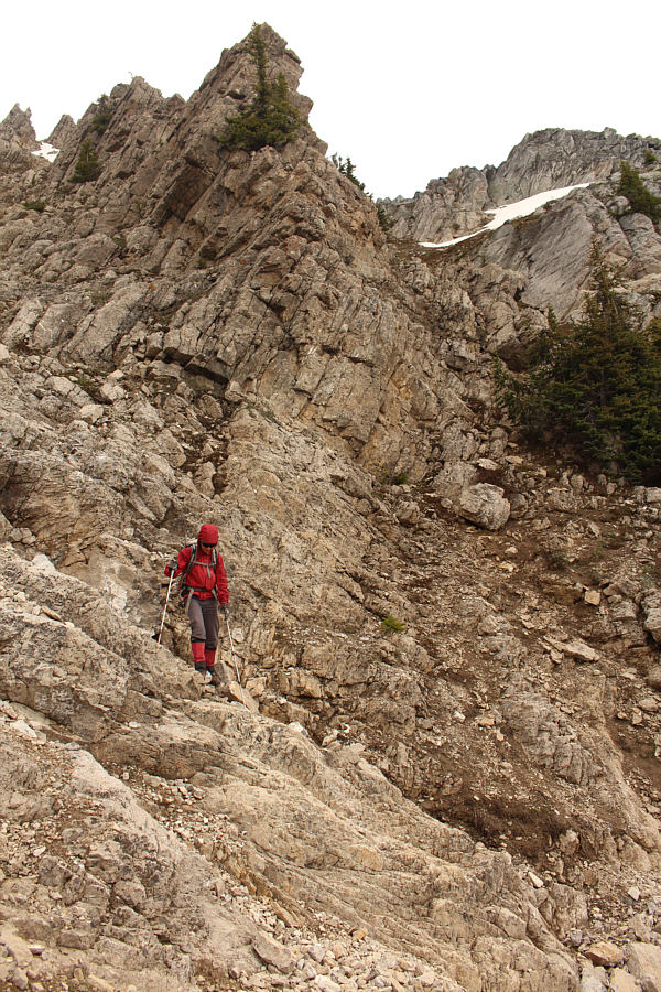
Descending the upper mountain requires some care and patience.
Not as fast as glissading but works just as well! After regaining the snow patch, Zosia boot-skis down the gully.
I did try in a few spots with mixed results. The abundance of surface debris makes it unappealing to glissade here.
Best of all and somewhat surprisingly, there were no mosquitoes here! 
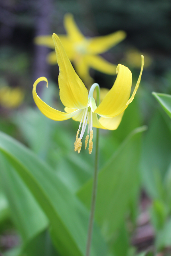
Lots of glacier lilies can be found along the trail.
We camped here the night before. 
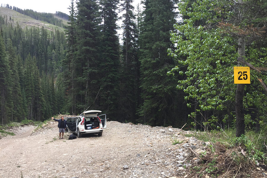
Sonny returns to his car at a pullout a few metres up the road from the new trailhead.  Note the marker which roughly indicates the distance in kilometres from the paved highway.
It wasn't quite the glissade-fest that I thought it would be, but it was still an enjoyable scramble. Total Distance:  7.4 kilometres
Round-Trip Time:  6 hours 14 minutes
Net Elevation Gain:  920 metres

GPX Data