|
|
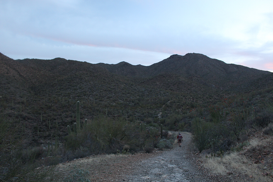
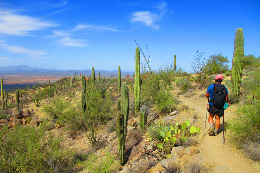
Zosia hikes up King Canyon trail. Wasson Peak is not visible here but is just behind the hump at right. |
|
|
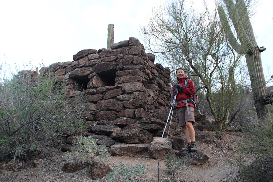
Located near Mam-a-Gah picnic area, this historic building used to serve as a restroom. |
|
|
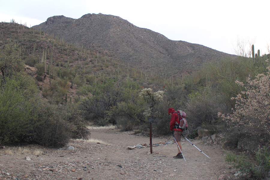
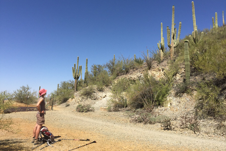
Zosia arrives at the first junction (Sendero Esperanza trail goes left here). |
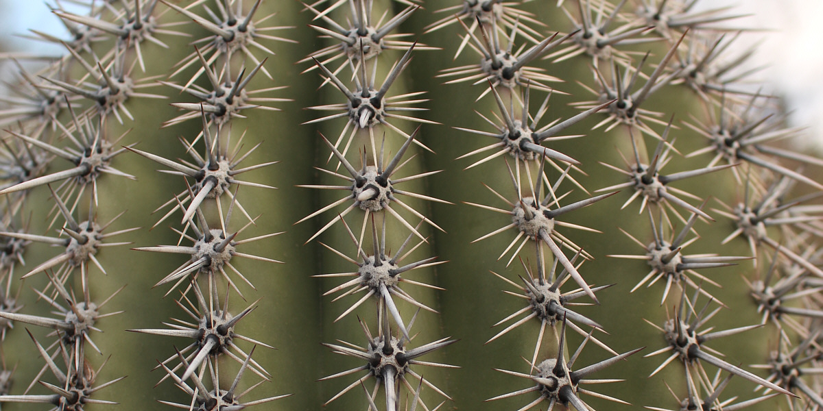
Here is a close-up view of the spines of a saguaro cactus.
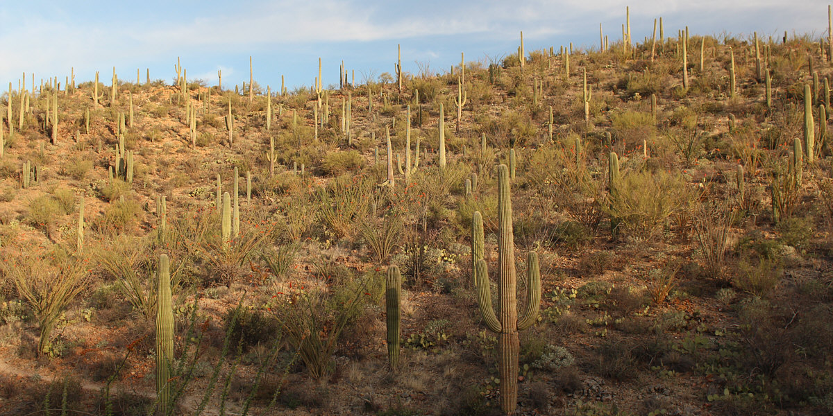
Saguaro National Park truly lives up to its name.
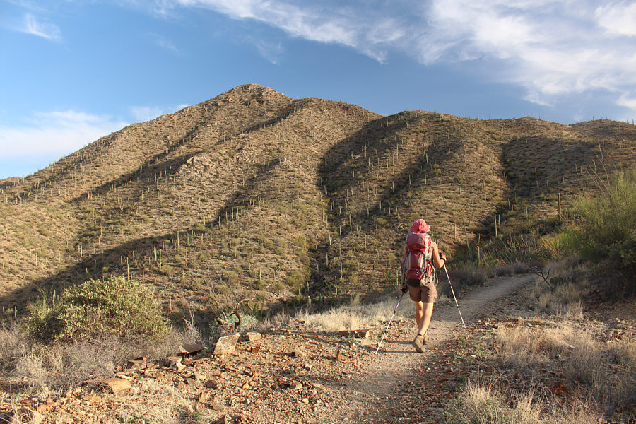 |
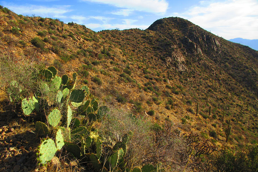
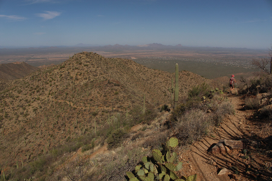
King Canyon trail eventually goes up the right-hand ridge ahead. |
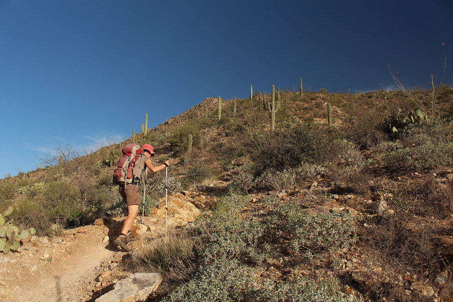 |
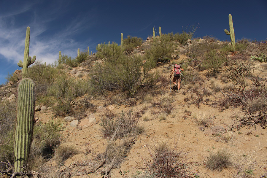
Zosia climbs up the aforementioned ridge. |
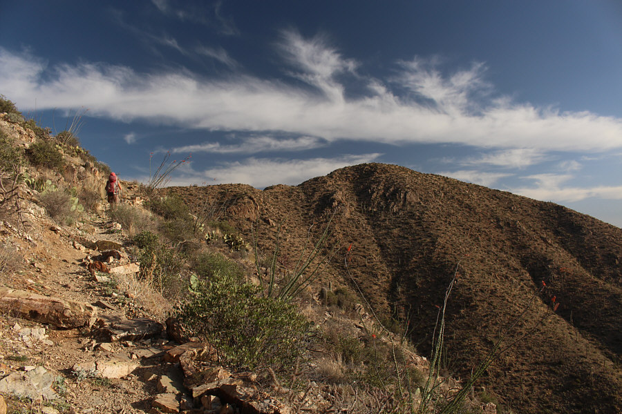 |
Wasson Peak comes within sight. The trail to the summit is also visible. |
 |
Here is the final approach to Wasson
Peak from near the junction with Hugh Norris trail. Photo courtesy of Zosia Zgolak |
 |
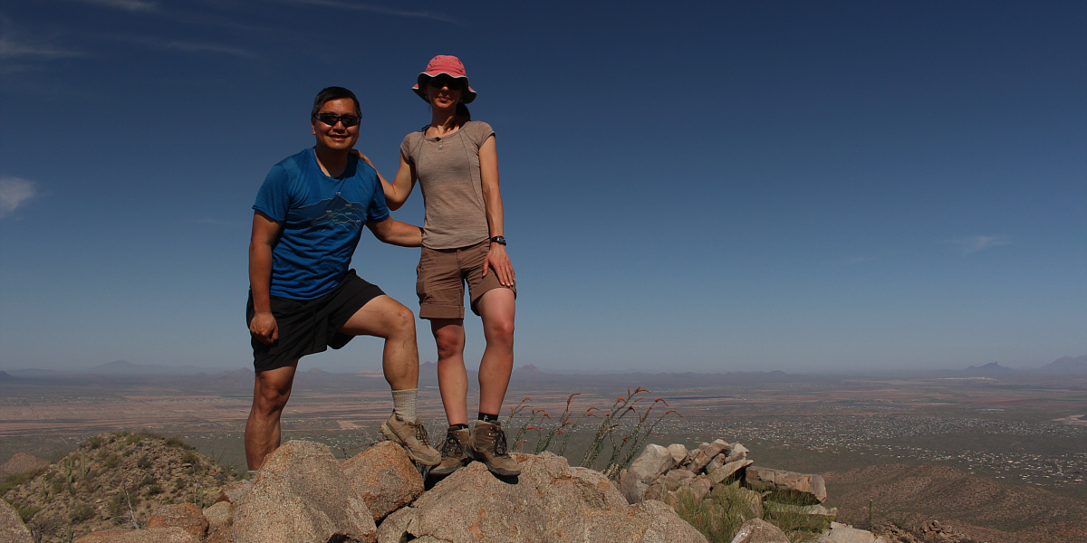
Sonny and Zosia stand on the summit of Wasson Peak (1419 metres). |
 |
The easiest peak to identify to the southeast is Golden Gate Mountain (right of centre). Visible on the horizon behind it is Mount Wrightson. |
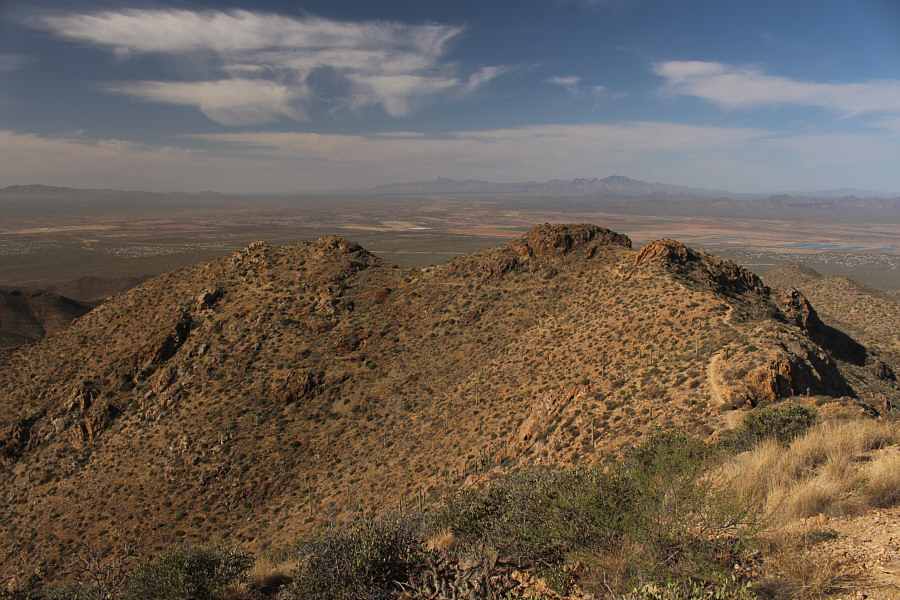 |
Besides the approach trail, the most noteworthy feature to the southwest are the peaks on the distant horizon. At centre is Baboquivari Peak, and at right is Kitt Peak. |
 |
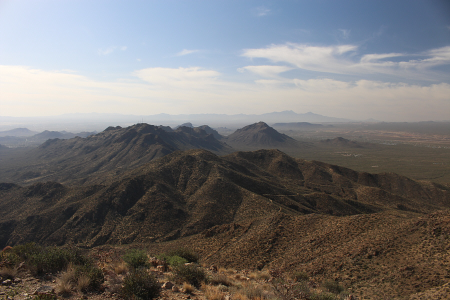
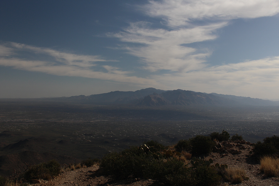
Immediately to the north are Panther Peak (centre) and Safford Peak (right). At far left on the horizon are Picacho Peak and Newman Peak. |
 |
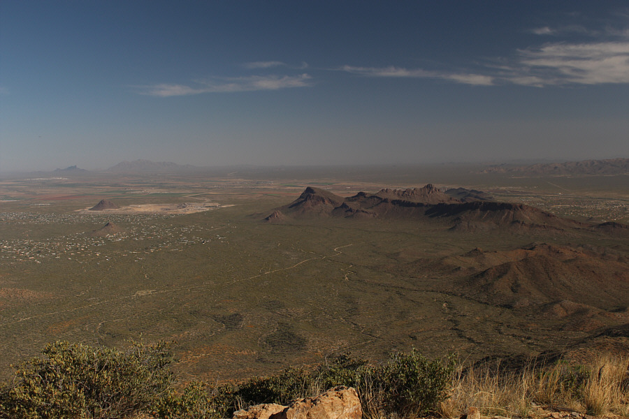
The Santa Catalina Mountains and the city of Tucson dominate the view to the northeast. |
 |
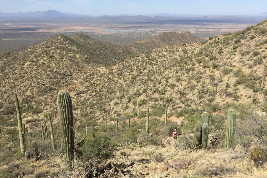
Amole Peak comes into view as Zosia descends Hugh Norris trail. |
 |
Zosia goes off-trail to climb up Amole Peak. |
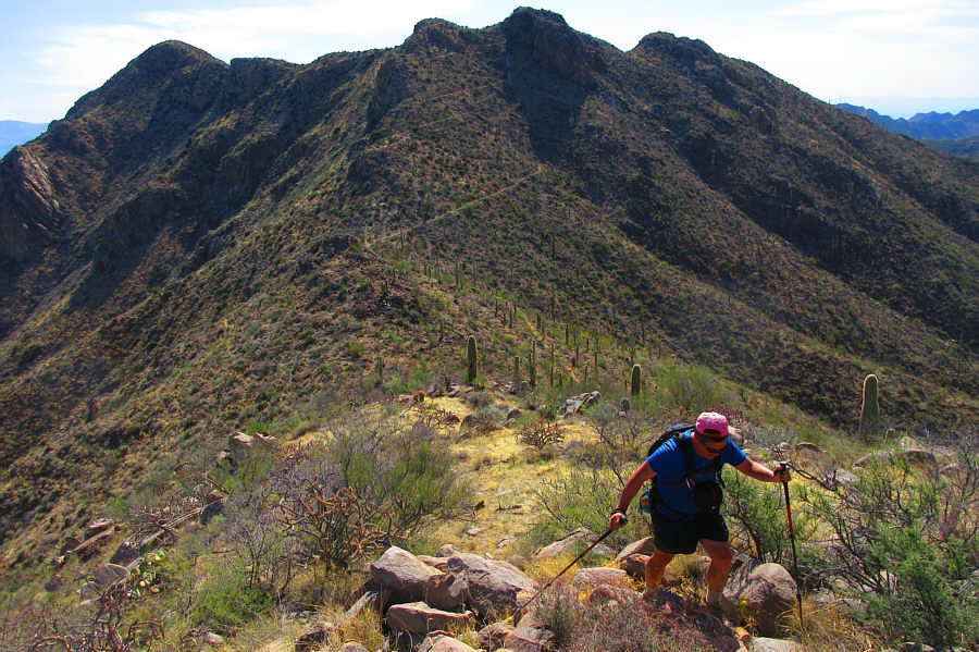 |
Sonny takes the last few steps before
the top of Amole Peak. At far left is Wasson Peak. Photo courtesy of Zosia Zgolak |
Sonny and Zosia stand on the summit of Amole Peak (1342 metres).
 |
Zosia descends the southwest slopes of Amole Peak. |
 |
Sonny gets back on the trail to continue the
loop hike. Photo courtesy of Zosia Zgolak |
 |
Near Gould Mine site (note fencing at far left), Zosia admires a cactus which is starting to bloom. |
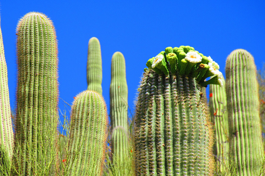 |
Here is a closer look at the blooming
cactus. Photo courtesy of Zosia Zgolak |
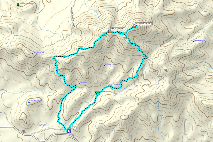 |
Total Distance:
12.6 kilometres Round-Trip Time: 5 hours 41 minutes Net Elevation Gain to Wasson Peak: 536 metres |