BOU AVENUE
Mount Audubon
On 11 July 2019, Zosia Zgolak and I climbed Mount Audubon in the Indian Peaks Wilderness of north central Colorado.  A good trail runs all the way to the top from Mitchell Lake trailhead and is described in the guidebook, Afoot and Afield: Denver, Boulder, Fort Collins, and Rocky Mountain National Park, by Alan Apt and Kay Turnbaugh.

The town of Ward is located along Peak to Peak Highway (State Highway 72) about 19 kilometres north of Nederland and about 50 kilometres south of Estes Park.  Just north of the town limit for Ward, turn west onto Brainard Lake Road and drive for 4.2 kilometres to a toll booth (fee or interagency annual pass required).  Continue driving for another 3.3 kilometres to Brainard Lake parking lot.  If the road is open, it is possible to drive for another 1.8 kilometres to Mitchell Lake trailhead.  The trail to Mount Audubon starts at a sign board on the north side of the Mitchell Lake trailhead parking lot.

Unfortunately, the road to Mitchell Lake trailhead was closed on this day, and Zosia and I had to walk the extra distance from Brainard Lake to reach the start of the trail to Mount Audubon.  The trail is signed and easy to follow for most of the ascent.  After a somewhat lengthy but relatively flat stretch through the forest, we climbed a couple of switchbacks before breaking out of the trees onto open sub-alpine meadows.  We subsequently passed a junction before continuing up the gentle eastern slopes of Mount Audubon to a high shoulder on the northeast ridge.  Here, the terrain gets steeper and rockier, and the trail becomes braided and less defined.  Still, we had no doubts about where to go, and we simply grinded our way up the northeast ridge until we reached the broad summit.

This view makes the extra 1.4-kilometre walk to the trailhead worthwhile.

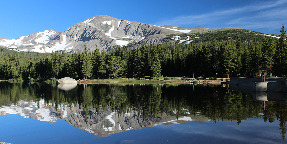
Mount Audubon is reflected in Brainard Lake.  The ascent route climbs the gentle slopes to the right.

Blah, blah, blah... 
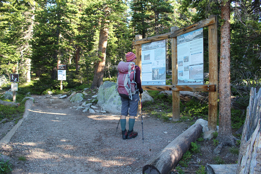
Zosia reads the sign board at the Mitchell Lake trailhead.
Thank goodness there's not too many of these on this trip! Zosia hikes up a gentle switchback in the trail.
At the end of the day, we hiked back to Brainard Lake with a large group of young female cheerleaders who had hiked to Mitchell Lake. 
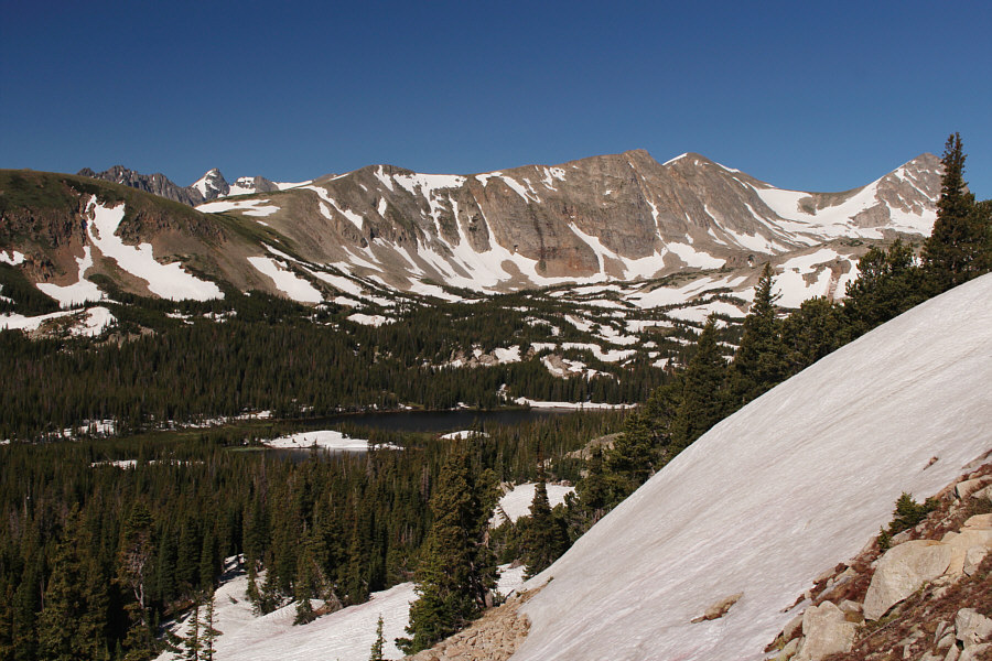
A break in the trees grants this glimpse of Mitchell Lake.  Also visible at far right are Pawnee Peak and Mount Toll.
Our return loop later in the day regained the trail somewhere around here. 
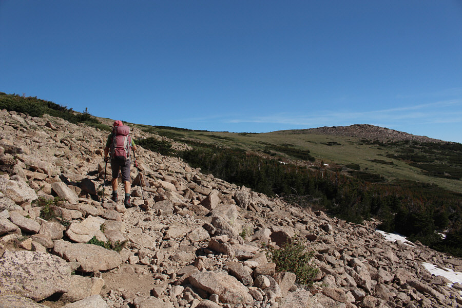
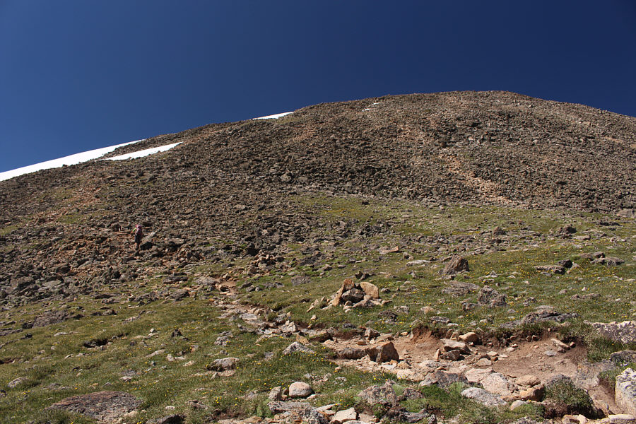
The trees begin to thin out as Zosia climbs higher up the trail.
Feels like we're walking in Nebraska! Zosia takes the left fork at the junction with Buchanan Pass Trail.  The top of Mount Audubon is barely visible at far left.
Eeeep! 
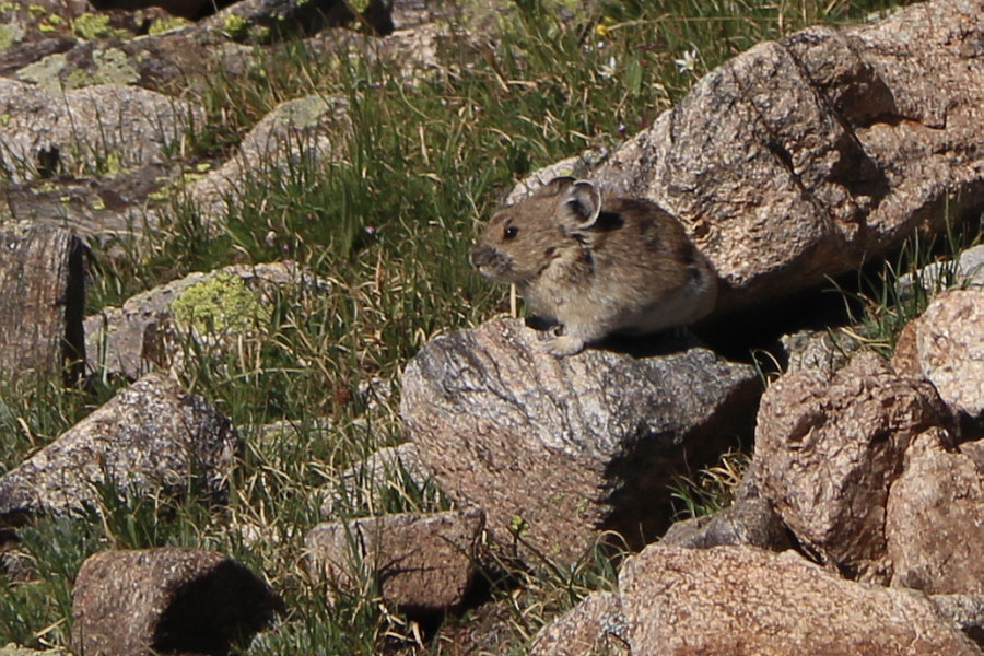
An alert pika watches out for intruders.

We will definitely be coming straight down here on our descent!

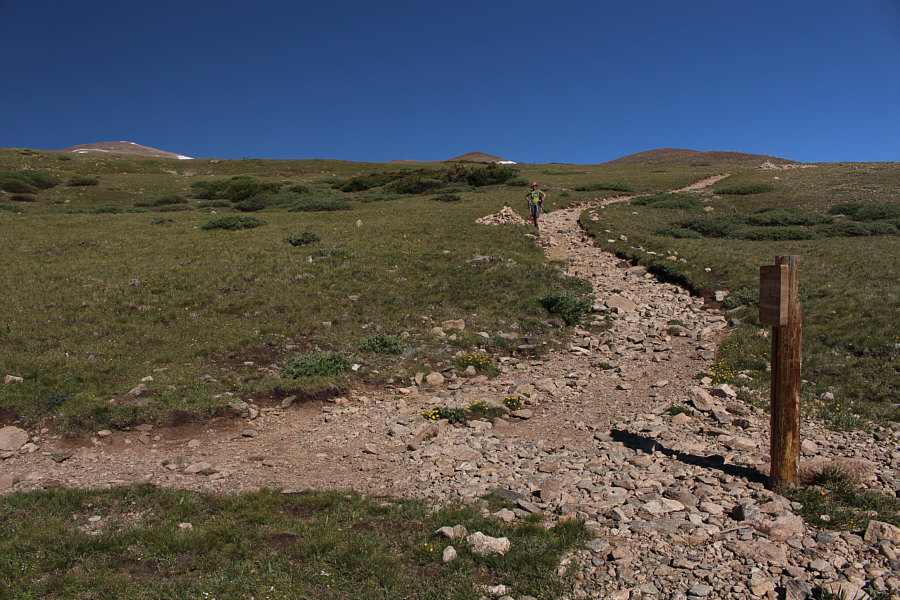
Although it is entirely possible to climb straight up here, the trail makes a couple of switchbacks and heads to a shoulder out of view to the right.


Because of foreshortening, it's a longer climb than it looks. 
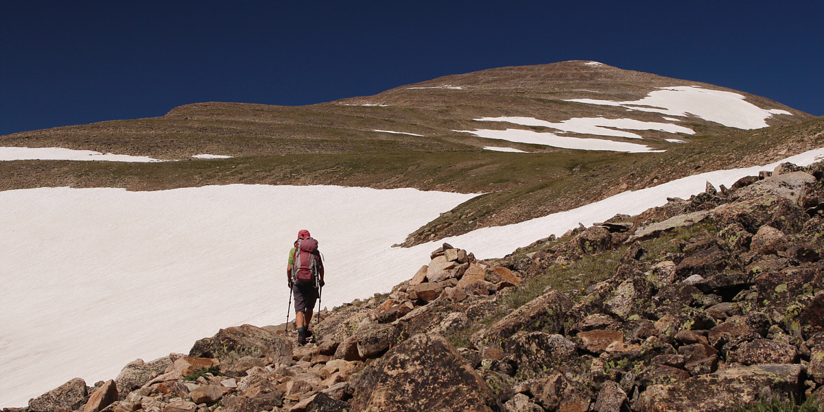
From the shoulder, the trail winds its way up the broad northeast ridge of Mount Audubon.
Another day, another summit! Zosia and Sonny stand near the summit of Mount Audubon (4028 metres).

Lotsa interesting peaks in this area for sure!

The view to the south includes Kiowa Peak (left), North Arapaho Peak (centre), Navajo Peak (dark and pointy at right) and Apache Peak (biggest on right).  Also visible is Mount Evans on the distant horizon at left.


Had we been more motivated, we probably could have scrambled up Paiute Peak as well from here.

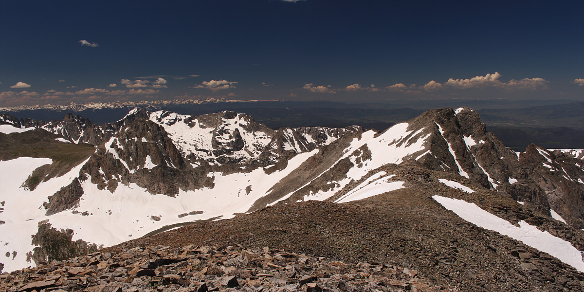
Most notable to the southwest are Mount Toll (left), Mount Achonee (left of centre) and Paiute Peak (right).


You could spend another lifetime exploring all the peaks here... More peaks stretch away to the north beyond Upper Coney Lake.  Longs Peak stands out on the right horizon.
For our descent, we opted to take a more direct line down the eastern slopes.  Although this was not necessarily a short cut, we were able to take advantage of some large snow patches and boot-ski or glissade down them.  We eventually followed the snow into a drainage which turned southward, but wary of possibly getting cliffed out, we made an effort to head eastward to try and intersect our original trail.  This was initially a bit difficult to do because of some marshy ground and bushy obstacles, but with some persistence, we finally managed to break through to easier terrain and resume our intended direction of travel.  Some easy off-trail hiking ensued, and once we regained the trail, we simply retraced our steps back to the trailhead and ultimately our starting point at Brainard Lake.
We're actually not that far from the official trail... Zosia takes a slightly more direct line down the eastern slopes of Mount Audubon.  At left is Beaver Reservoir.
Much easier on the knees! 
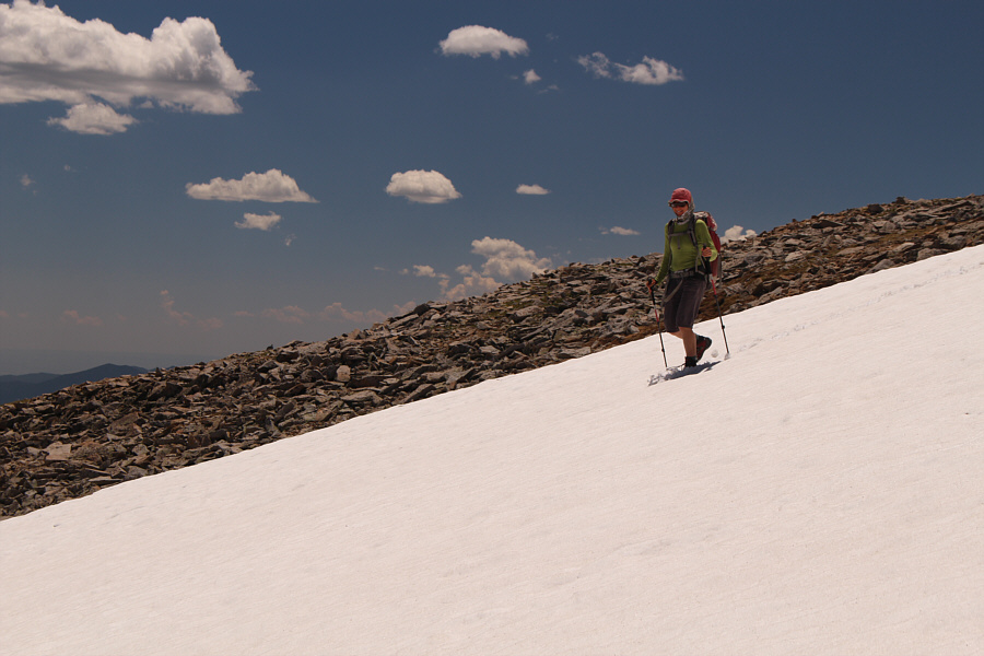
Zosia takes advantage of snow patches to ease her descent.
This is the real reason we took the short cut! The slope is a little too shallow for glissading, but Sonny tries anyway.

Photo courtesy of Zosia Zgolak

We're getting into some challenging terrain here... 
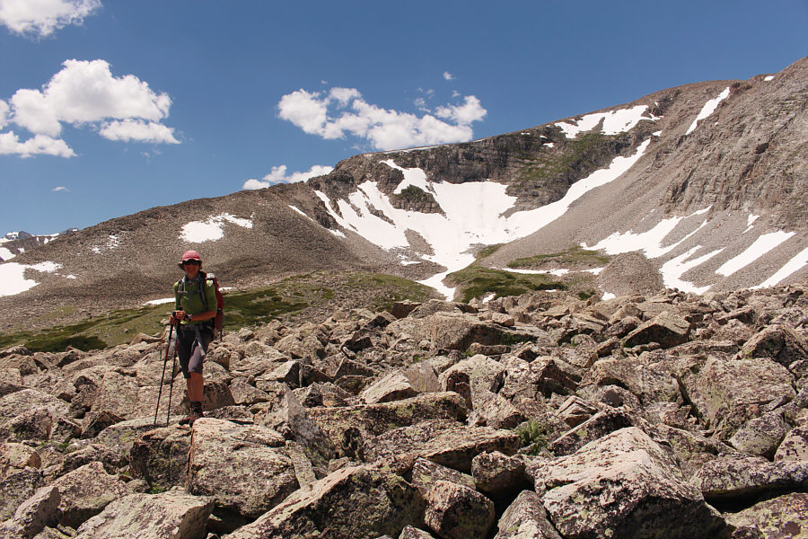
Zosia hikes across boulders in front of a large cirque on the southeast side of Mount Audubon.
It looks tempting to go right, but I have a feeling that the terrain there is more problematic. 
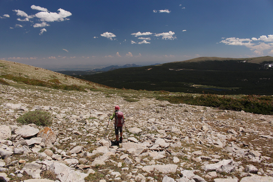
It is advisable to stay left here as much as possible in order to intersect the original trail.  Brainard Lake is visible in the distance at right.
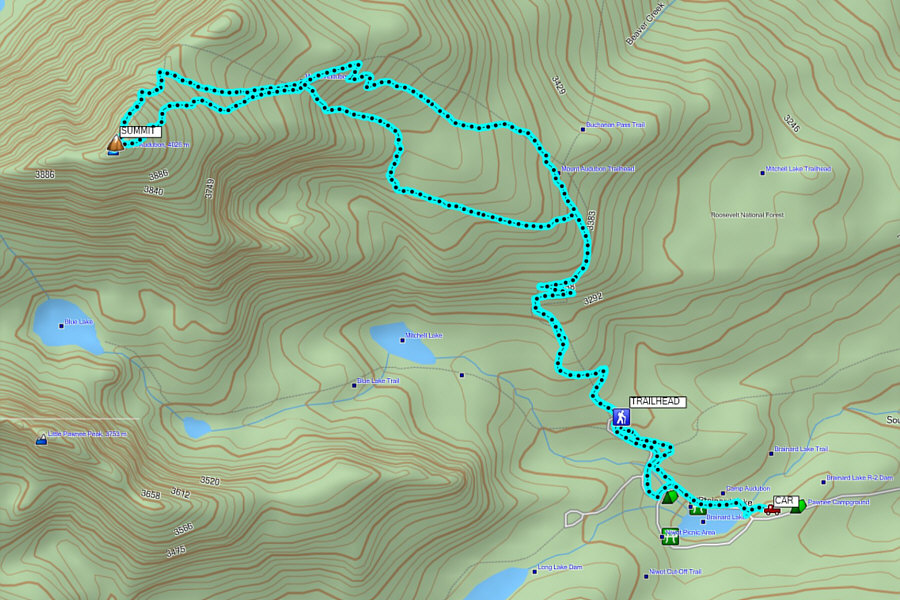
I think this mountain would be a great ski in winter! Total Distance:  15.6 kilometres
Round-Trip Time:  7 hours 1 minute
Net Elevation Gain:  869 metres

GPX Data