BOU AVENUE
Big Chief Mountain (Stevens Pass Mountain Resort)
On 28 March 2019, Zosia Zgolak and I paid a visit to Stevens Pass Mountain Resort (SPMR) which is located at its namesake location along US Highway 2 about 56 kilometres west of Leavenworth, Washington.  Although SPMR has a defined uphill travel policy and allows skinning within the resort's boundaries, the staff there seemed reticent if not a little unfriendly when we asked for uphill route recommendations.  In the end, we essentially mapped out our own route to gain a high ridge overlooking the ski resort with an option to traverse to an officially named summit--Big Chief Mountain.

From the SPMR's base area, we followed the wide and easy ski run, Promenade, to the base of Tye Mill chairlift.  From there, we climbed parts of the intermediate ski runs Skid Road and Crest Trail to gain the aforementioned high ridge.  Some sections of Skid Road and Crest Trail are quite steep, but fortunately, snow conditions were not icy enough to warrant putting on ski crampons.  On the high ridge, we turned to the northeast and skied past the tops of Tye Mill and Jupiter Express chairlifts before dropping down slightly to gain another intermediate ski run, South Divide.  We followed this run all the way up to the tops of Double Diamond and Southern Cross chairlifts.  A trail continues beyond these last chairlifts and cuts through some trees, but the ridge narrows here and takes on a more serious complexion.  I decided to drop my skis here and continue on foot, but Zosia was not comfortable hiking in her ski boots without crampons or an ice axe.  Zosia graciously offered to wait for me at the last chairlifts while I trudged on following some old footprints in the snow.  The summit of Big Chief Mountain turned out to be a little farther away than I had expected, but beyond where it first narrows, the ridge presents no other serious difficulties.  In retrospect, I probably could have skied all the way to the summit, but the snow was supportive enough for walking anyway.

After tagging the summit and taking my requisite photos, I retraced my steps back to the last chairlifts without any issues.  I reunited with Zosia there, and together, we skied back down to SPMR's base area more or less the same way we came up.
Not too busy in the parking lot. 
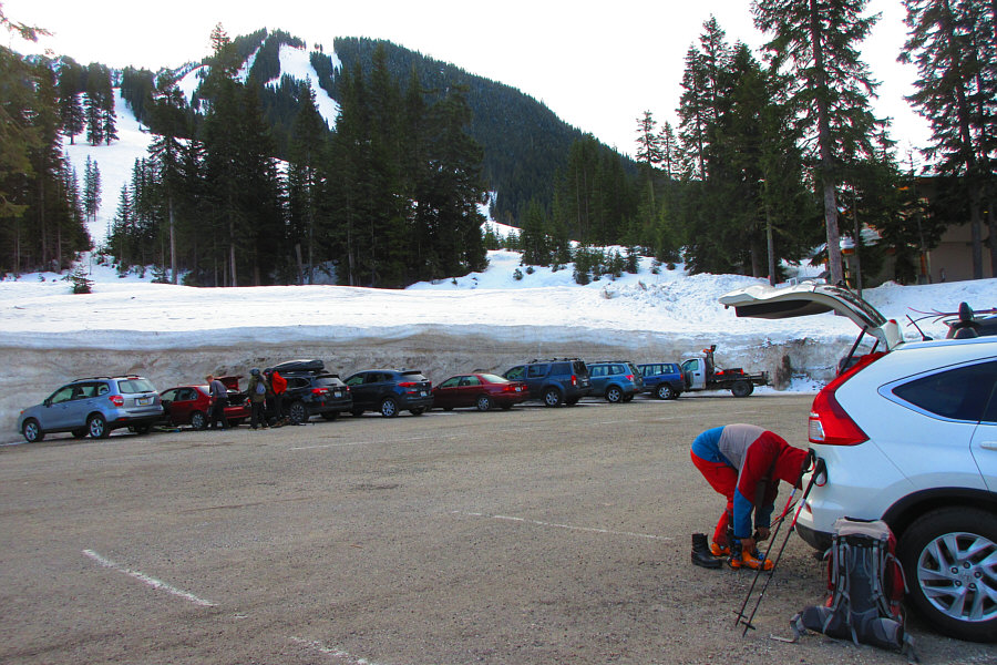
Sonny gears up in the parking lot of Stevens Pass Mountain Resort (SPRM).

Photo courtesy of Zosia Zgolak

Actually, the ski patroller was just being a dick and not letting us cut through to Promenade on the far side of the trees at centre. 
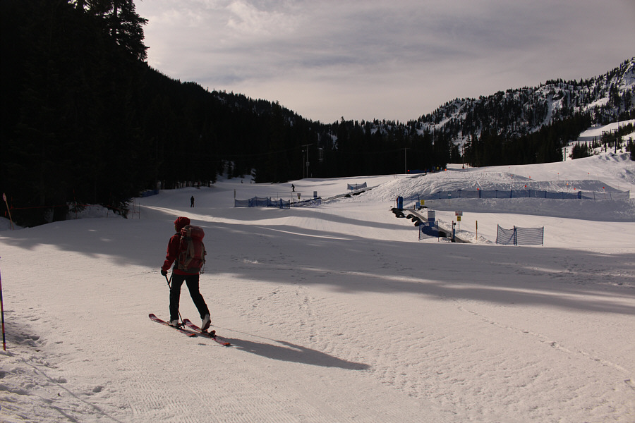
Zosia begins to skin uphill near the "Learning Terrain".  She would soon be told to backtrack and go around to the left onto the easy run known as Promenade (not visible here).
It was tempting to ride the chairlift! 
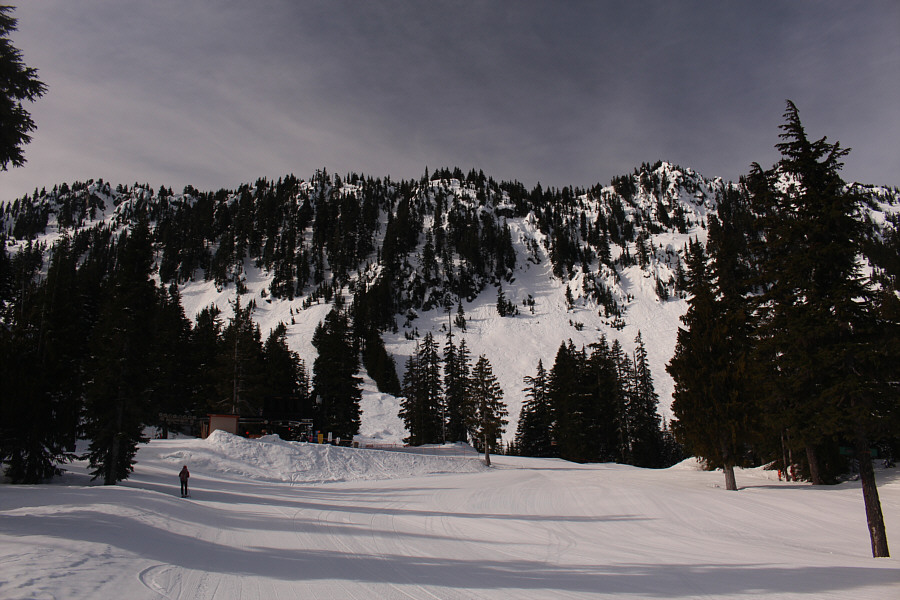
Zosia arrives at the bottom of Tye Mill chairlift which she will circle around to the right before heading left.
Steeper but not too bad. 
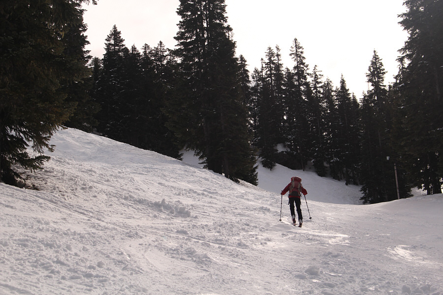
Zosia climbs up Crest Trail which is an intermediate run.
That wasn't too hard to get up here! 
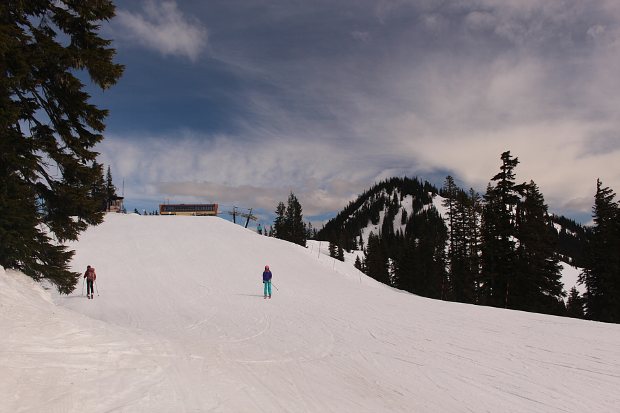
Zosia gains the ridge crest and approaches the top of Jupiter Express chairlift.
Everything dropping off from either side of this ski run is difficult or expert terrain! 
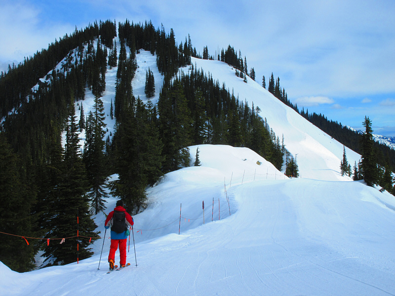
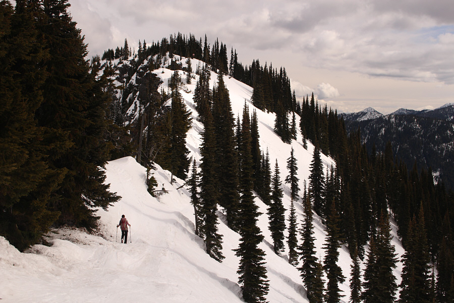
Sonny carries on up South Divide trail which is another intermediate ski run.

Photo courtesy of Zosia Zgolak

Look at all the potential backcountry skiing out there! 
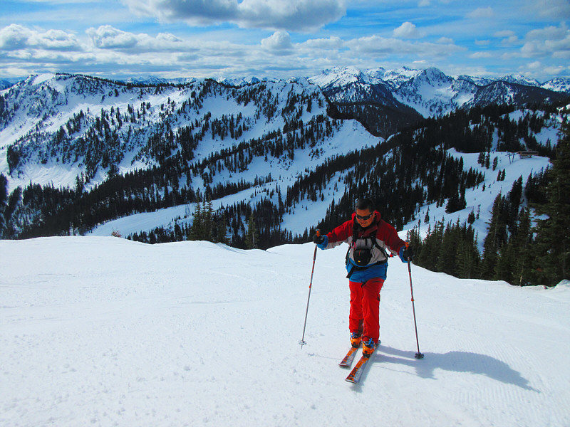
From the South Divide trail, the views to the south are magnificent.

Photo courtesy of Zosia Zgolak

Contrary to the resort's trail maps, this is NOT the summit of Big Chief Mountain! 
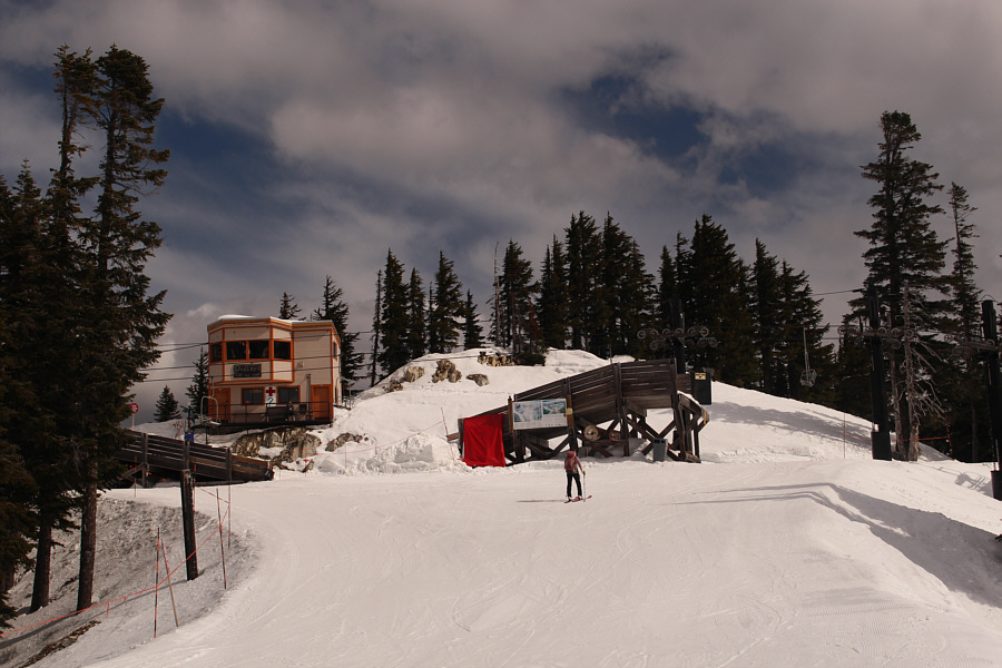
A ski patrol hut is situated at the top of both Double Diamond and Southern Cross chairlifts.  The route to the top of Big Chief Mountain continues along a trail through the trees at right.
I probably could have skied the rest of the way, but this part would not have been fun to ski back down. The ridge looks more serious beyond the ski patrol hut.  Zosia would turn around here while Sonny would drop his skis and boot-pack the rest of the way.
You're basically on your own from this point forward! 
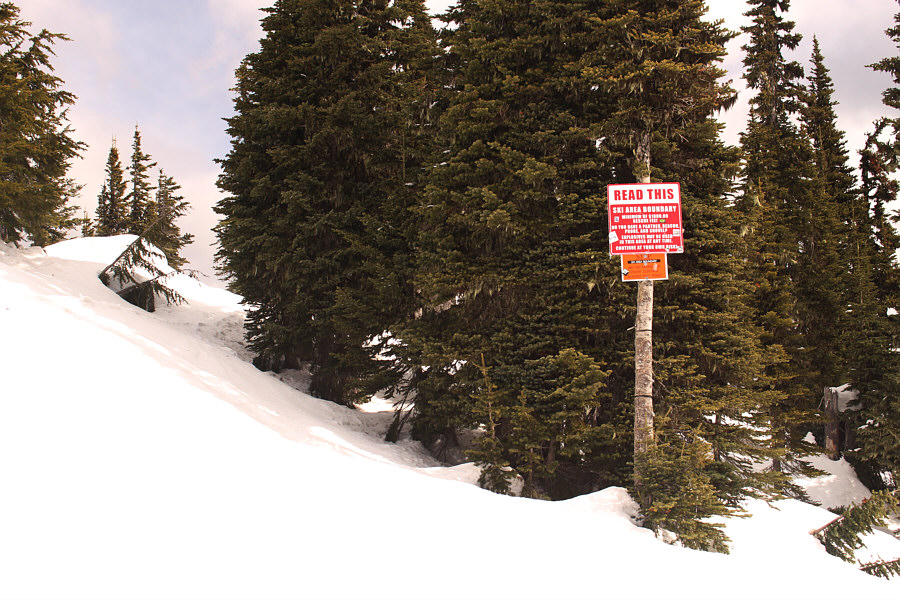
Tagging Big Chief Mountain's true summit entails leaving the ski resort boundary.

Fortunately, there was very little post-holing for me!

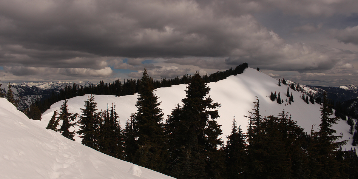
The true summit of Big Chief Mountain is at the far end of this long but easy ridge.


This would be yo-yo skiing heaven!

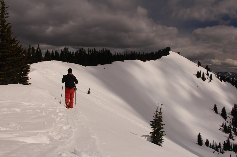
Sonny walks along the easy ridge leading to the summit of Big Chief Mountain.

No worries, I am NOT standing on an overhanging cornice here! 
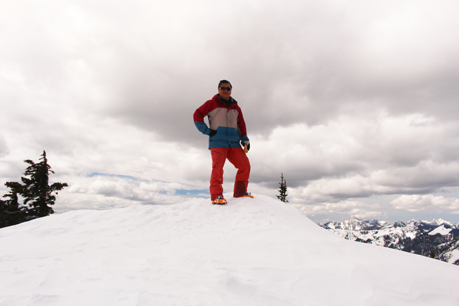
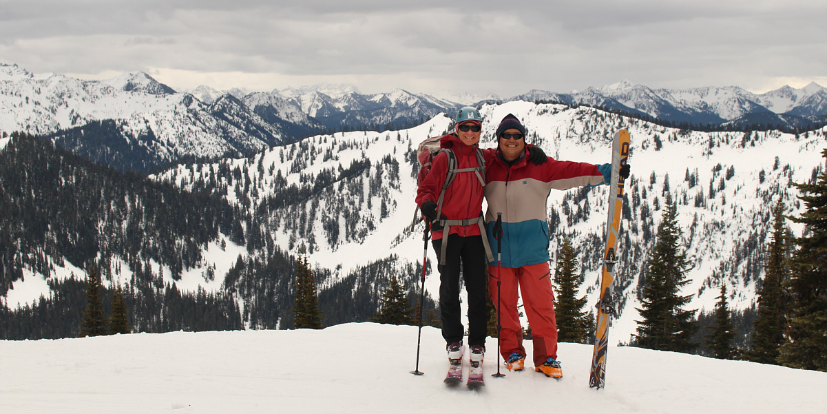
Sonny stands on the summit of Big Chief Mountain (1784 metres).
Look at all them ants skiing in the resort! 
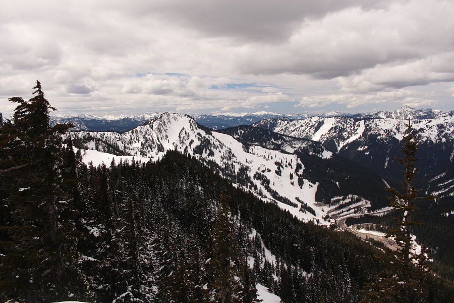
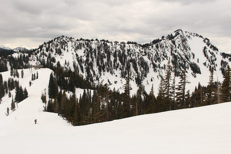
Here is the summit view of Cowboy Mountain (left) and SPMR.
A beautiful mountain I hope to climb someday... 
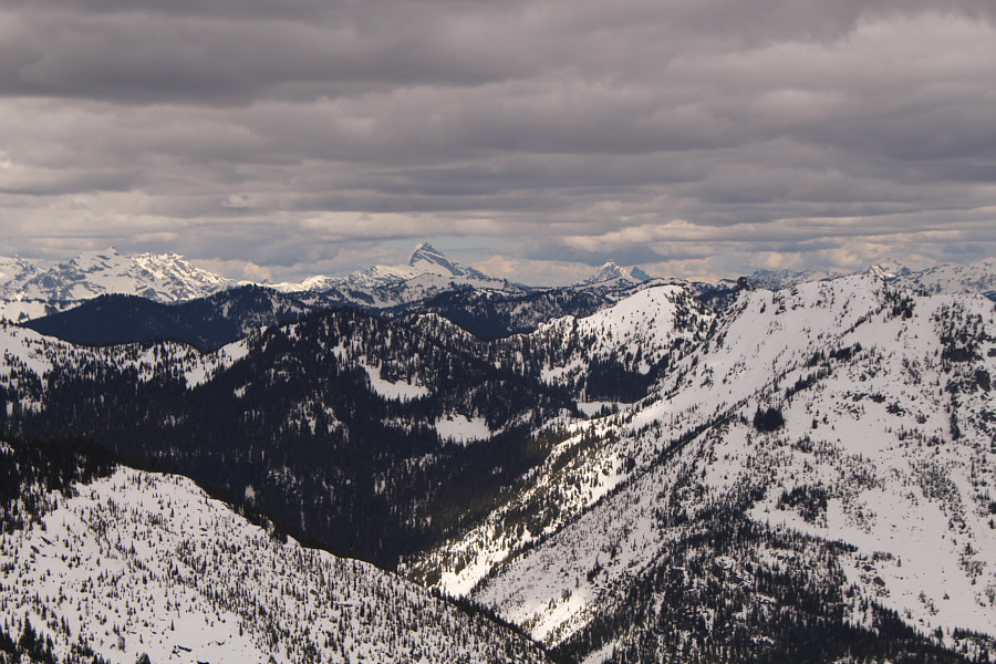
Sloan Peak stands out prominently to the northwest.
Looks like a huge clear-cut in the middle--ski resort expansion perhaps? 
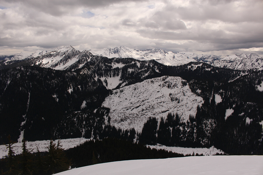
Jim Hill Mountain (left) is the most distinguishable peak in this view to the southeast.

Thanks for waiting for me, Zosia!

Zosia reunites with Sonny back at the top of Southern Cross chairlift.


I would like to come back someday and try the traverse over to Cowboy Mountain. Zosia skis back down South Divide trail with Cowboy Mountain in the background.
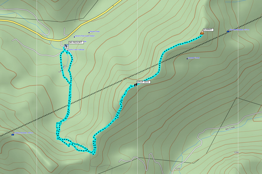
A fairly straightforward ski-and-hike. Total Distance:  9.8 kilometres
Round-Trip Time:  3 hours 43 minutes
Net Elevation Gain:  582 metres

GPX Data