Photo courtesy of Zosia Zgolak
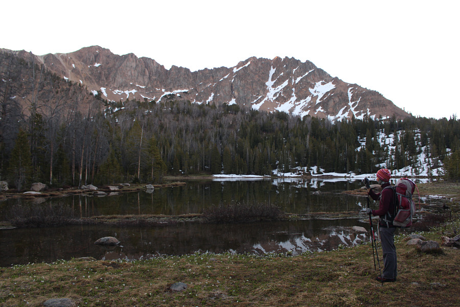
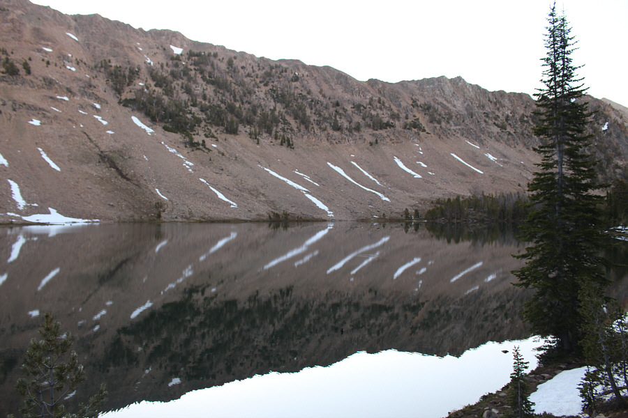

Photo courtesy of Zosia Zgolak

|
|
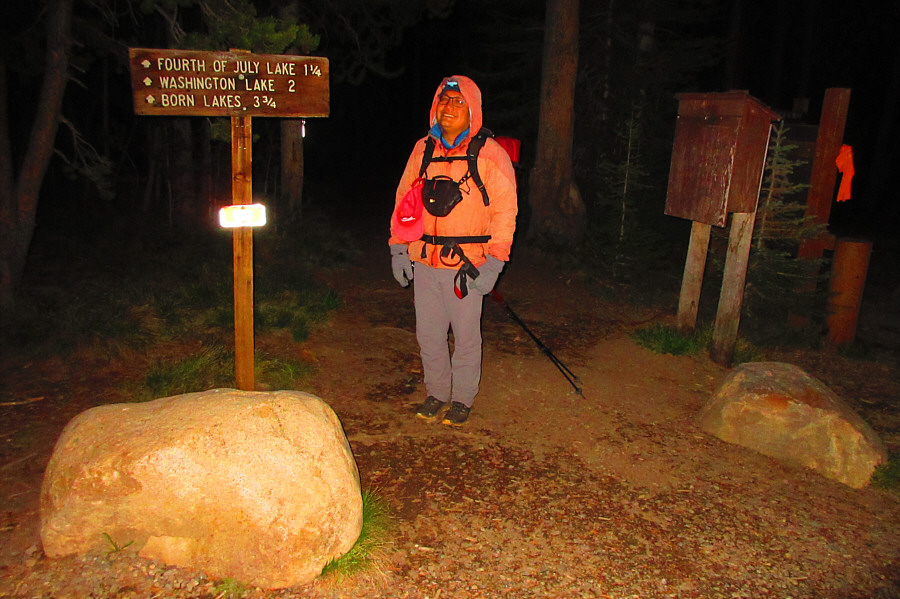
Sonny is still half asleep as he starts hiking from Fourth of July
trailhead before dawn. Photo courtesy of Zosia Zgolak |
|
|
Zosia takes photos of Fourth of July Lake. |
|
|
Some parties take a short cut to Chamberlain Basin by scrambling over the ridge behind Washington Lake. |
|
|
From this junction, the trail to Chamberlain Basin crosses Washington
Lake Creek and heads into the trees at far left. The trail on the
right leads to Washington Creek trailhead which is the more usual
starting point for parties interested in climbing Castle Peak. Photo courtesy of Zosia Zgolak |
|
|
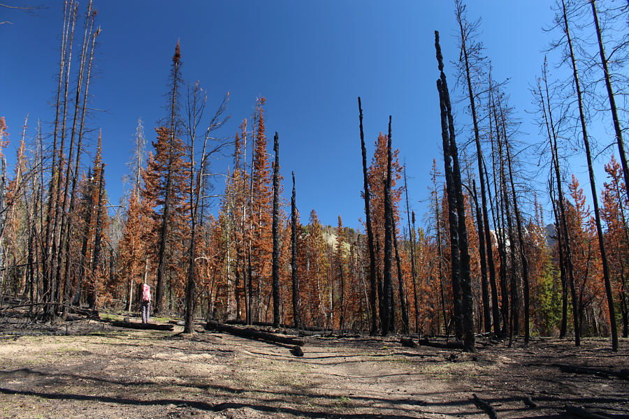
Zosia passes through a recent burn in the forest. |
|
|
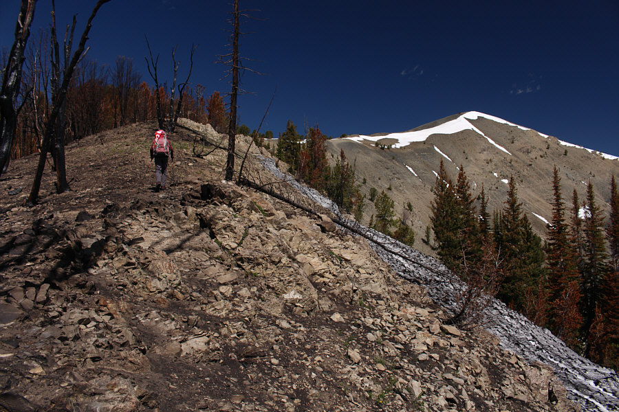
Zosia hikes past more burnt timber en route to Chamberlain Divide. Glimpses of Castle Peak can be seen through the trees at right. |
|
|
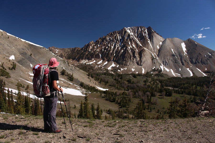
Zosia arrives at Chamberlain Divide and has her first unobstructed view of Castle Peak and its south face. Unfortunately, snow in the diagonal gully rising from right to left means that a summit attempt is out of the question. |
 |
After ditching her heavy camping gear, Zosia hikes up Chamberlain Ridge. |
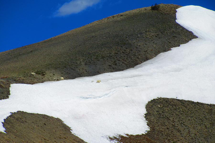 |
Five goats can be seen crossing a lingering snow patch on Chamberlain
Ridge. Photo courtesy of Zosia Zgolak |
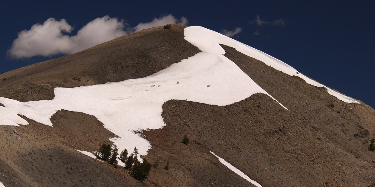
Despite being excellent climbers, some of the goats have trouble keeping their balance on the slippery snow.
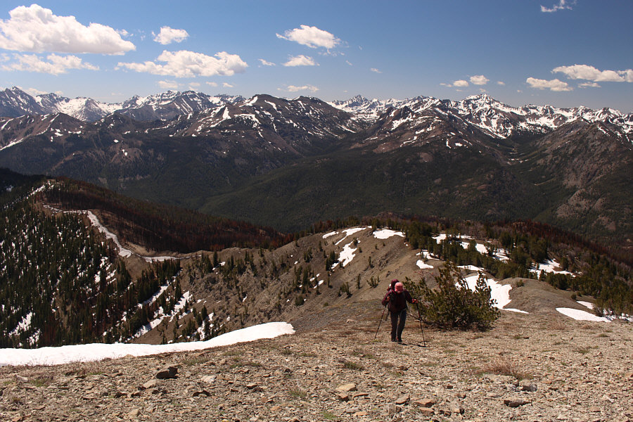 |
The Boulder Mountains stretch across the southern horizon as Zosia climbs up the final slope before the top of Chamberlain Ridge. |
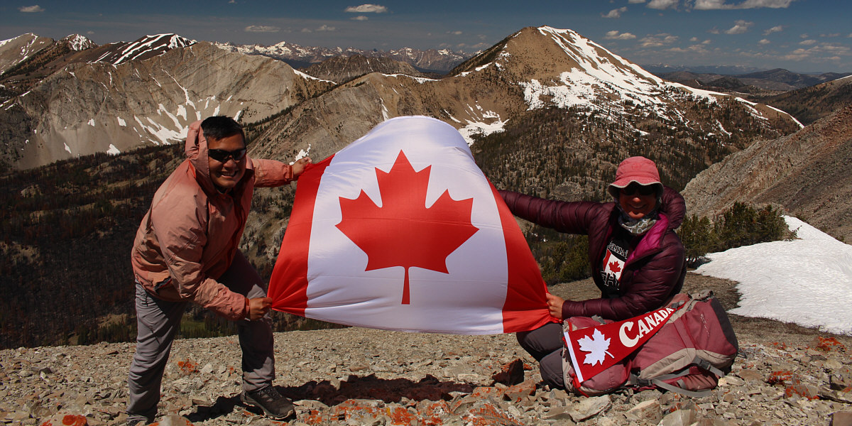
Sonny and Zosia celebrate Canada Day at the top of Chamberlain Ridge (3171 metres).
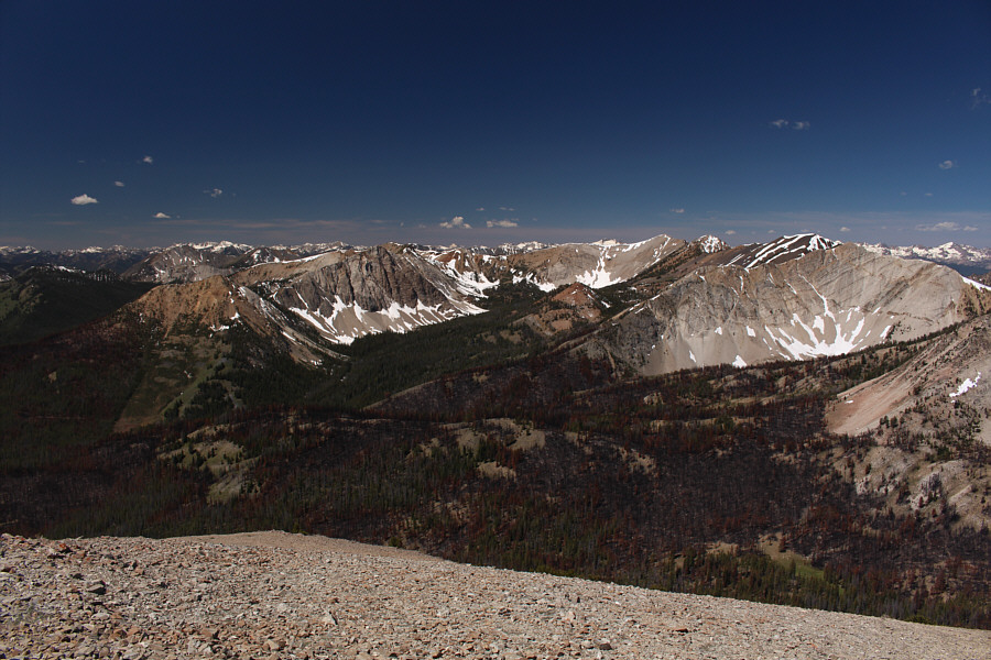 |
The view to the west includes Bible Back Mountain (left), Croesus Peak (left of centre), and Washington Peak (right of centre). |
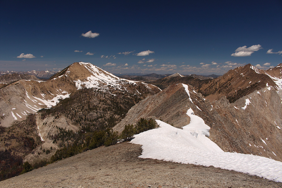 |
To the northwest, the big mountain at left is unofficially named Fourth of July Peak. |
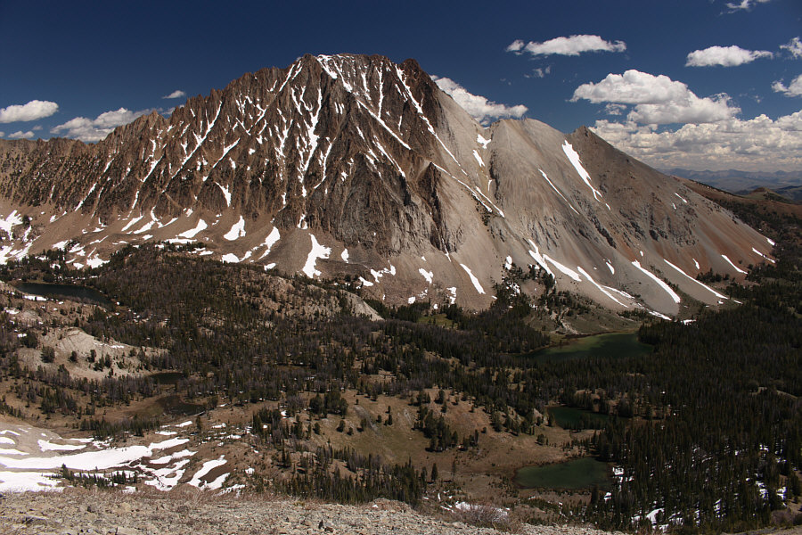 |
Here is another view of Castle Peak towering over Chamberlain Basin. |
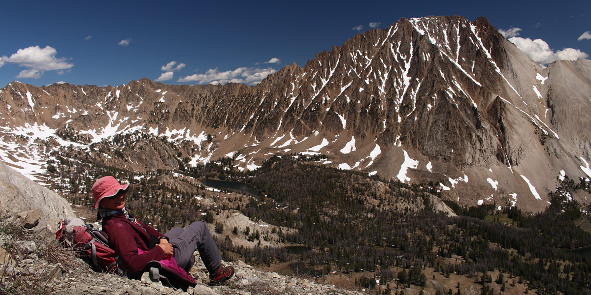
Zosia enjoys the views of Castle Peak and Chamberlain Basin from just below the top of Chamberlain Ridge.
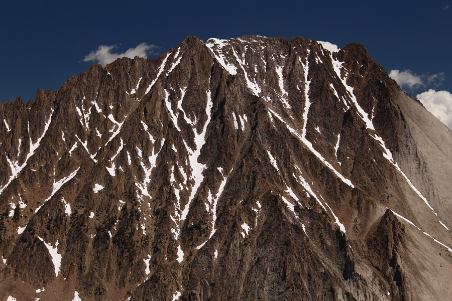 |
Here is closer look at the snow-choked ascent gully on the south face of Castle Peak. |
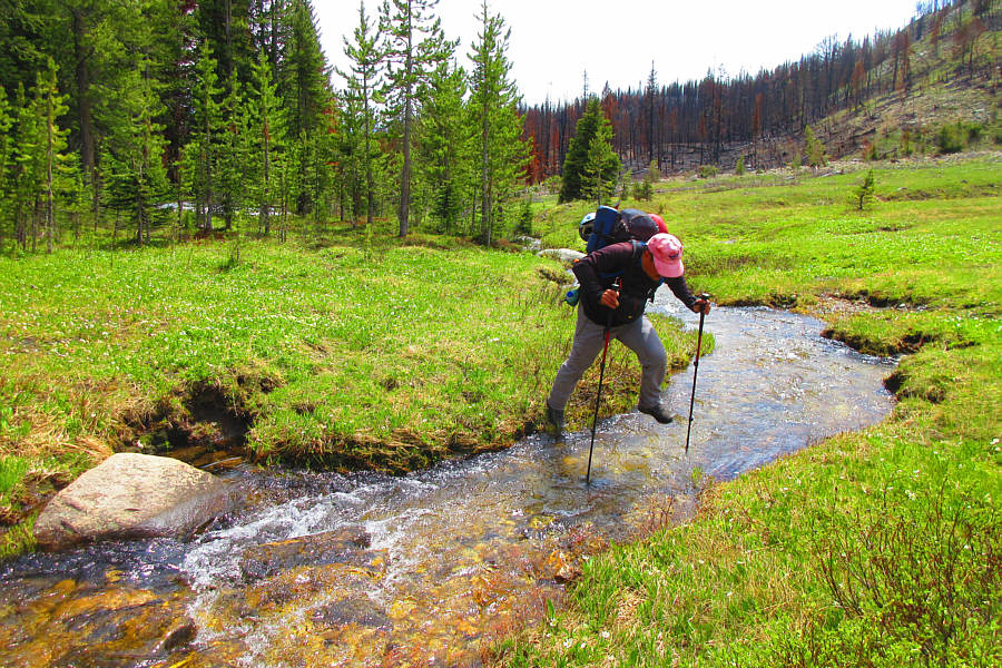 |
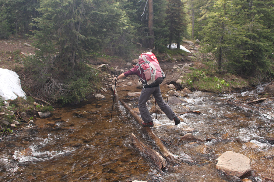
Sonny leaps across Washington Lake Creek during the long hike back to
Fourth of July trailhead. Photo courtesy of Zosia Zgolak |
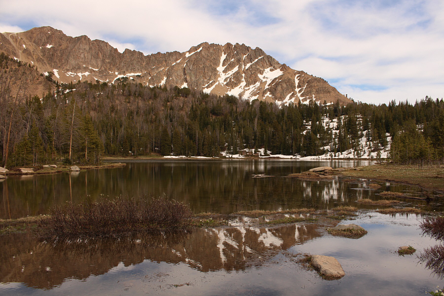 |
Here is another look at Fourth of July Lake. |
 |
On her way back to the trailhead, Zosia makes a tricky crossing of Fourth of July Creek. |
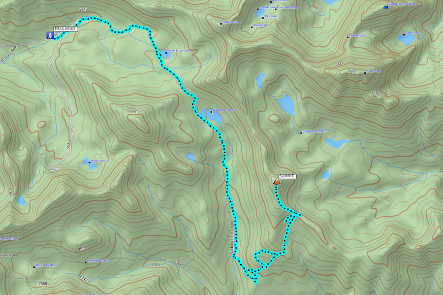 |
Total
Distance: 24.7 kilometres Round-Trip Time: 13 hours 49 minutes Cumulative Elevation Gain: 1115 metres |