BOU AVENUE
Corkscrew Peak And Ubehebe Crater
On 27 December 2019, Zosia Zgolak and I ascended Corkscrew Peak in California's Death Valley National Park.  We got our inspiration to climb this attractive mountain from a trip report by Bob Spirko.  Due to some unexpected road closures in the park, we were forced to camp east of Daylight Pass just outside the park boundary in Nevada the previous night.  However, this set us up nicely for an early start on Corkscrew Peak.

The most logical starting point for Corkscrew Peak is a small pullout along Daylight Pass Road about 13 kilometres east of the junction with North Highway or 15 kilometres west of the park boundary sign (if needed, a pit toilet is located at a fee station 1.9 kilometres west of the pullout).  There is even a sign here pointing to Corkscrew Peak.  The most complicated aspect of the entire ascent is the nebulous beginning.  From the sign, there is a cairned route to follow, but it is not particularly obvious and goes in a somewhat counter-intuitive direction at first.  I suspect that most people, like we did, just make a beeline for the peak and hike over the first few swells before stumbling onto the cairned route a few hundred metres from the pullout.

Once Zosia and I gained the cairned route, we followed it up a wide wash and into a shallow canyon (Spirko eschewed the cairned route and took a more direct line to the peak which entails more off-trail travel).  We then escaped from the canyon at an obvious break in the cliffs and picked up a good trail climbing up the east ridge of Corkscrew Peak.  Though long, the trail leads all the way to the summit without any complications.  We encountered some snow on the upper mountain, but there was not enough to hamper our progress.  After taking an extended break at the summit, we retraced our steps down the mountain and followed the cairned route in its entirety all the way back to the highway pullout without a hitch.
The peak looks awfully far away! 
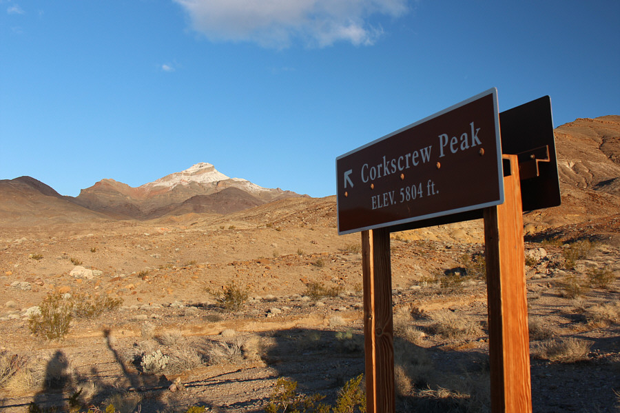
This highway sign is the most logical place to start an ascent of Corkscrew Peak.
No more route-finding problems from here as long as you keep following the cairns! 
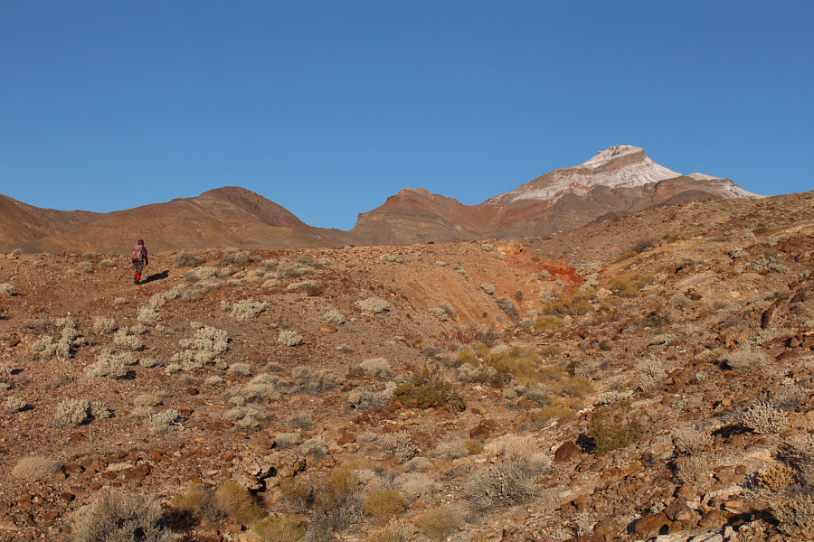
After hiking over some undulating terrain, Zosia finally stumbles onto a good trail leading to Corkscrew Peak.
Have some faith and stick to the cairned route here. You won't regret it! 
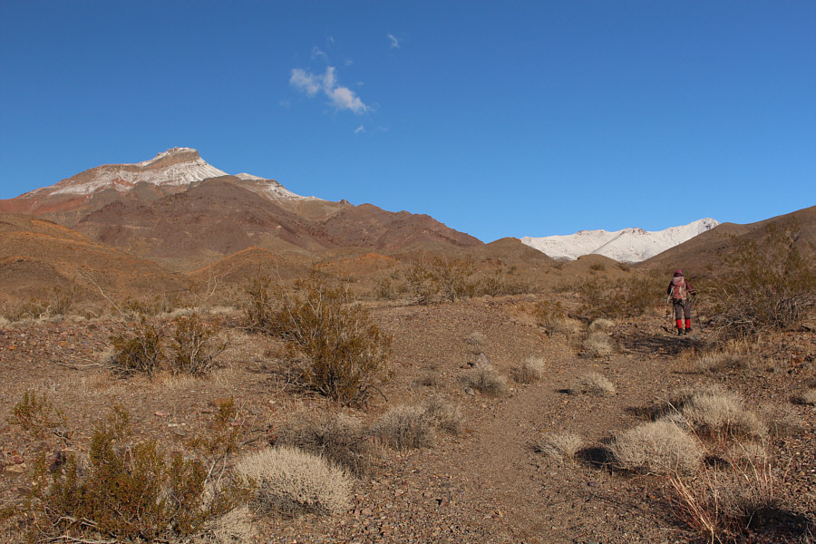
Zosia enters a wide wash which appears to emanate from a drainage to the east of Corkscrew Peak.
Trust me. Don't climb just yet! 
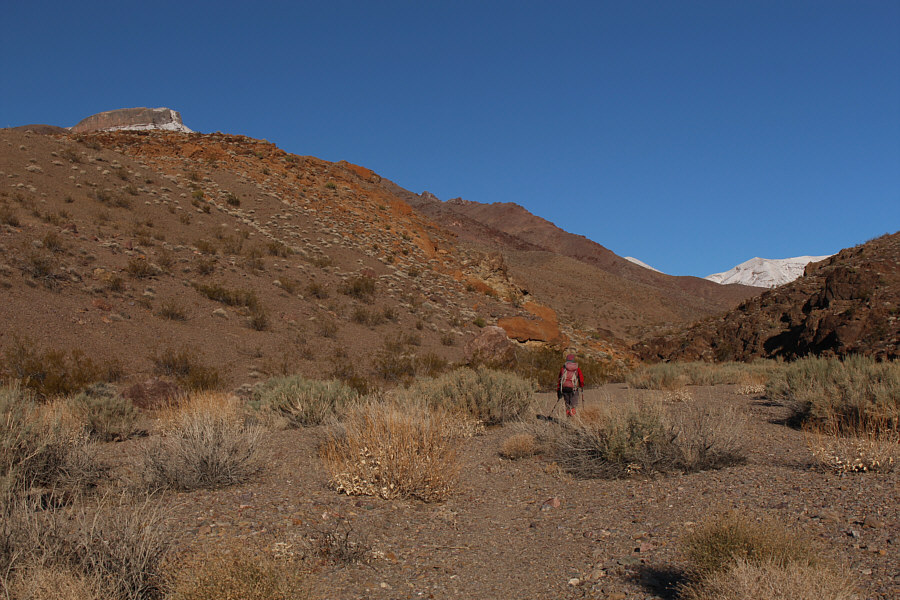
Following cairns in the wide wash eventually leads to this shallow canyon.
This is where the hard work begins! A cairn marks this spot where the route leaves the canyon and begins climbing in earnest.
It's still a long grunt from here, but you can put your mind on cruise control! 
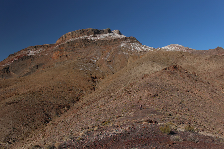
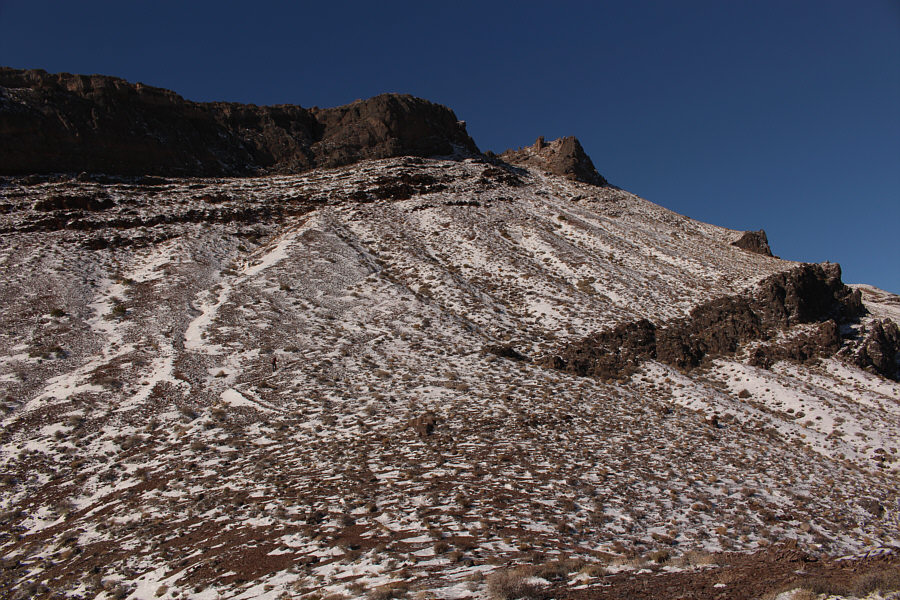
After climbing out of the shallow canyon, Zosia finds a good trail to follow.
Yeah, it's a bit monotonous, but just think pleasant thoughts...or dirty ones! 
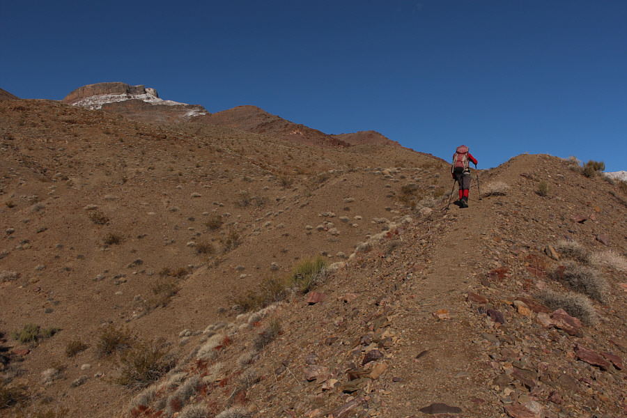
Zosia continues to follow the trail up the east ridge.
The unfolding scenery helps alleviate some of the monotony of the climb. 
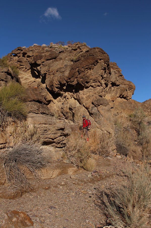
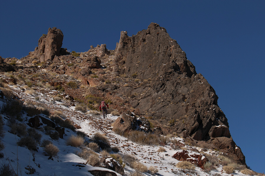
Sonny approaches a short cliff band along the trail partway up the mountain.

Photo courtesy of Zosia Zgolak

There is probably never enough snow here to ski on except maybe after a blizzard! Zosia is barely visible at left as she climbs up a snowy section of trail on the upper mountain.
No worries--there is no scrambling required to reach the summit. 
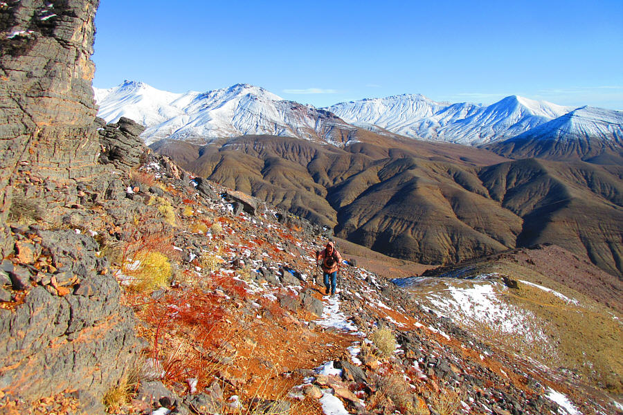
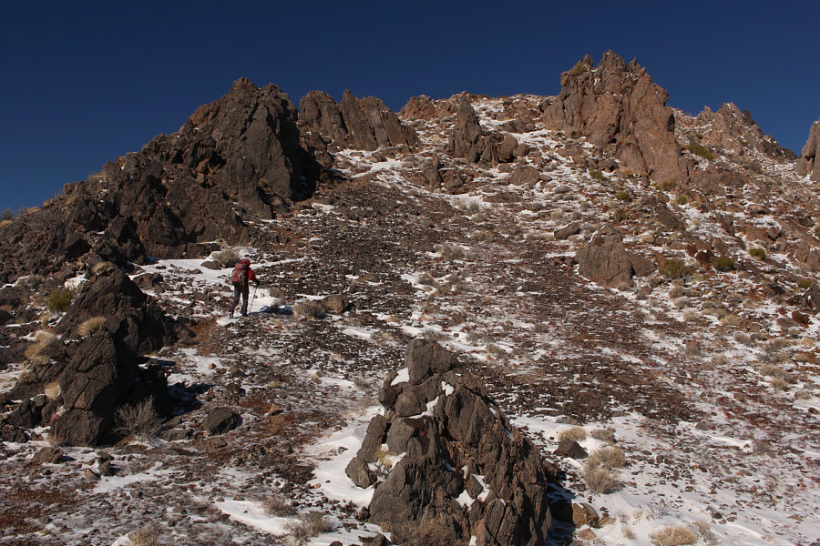
Some impressive rock formations guard the summit block.
Looks like a burned-out Guardian of Forever from Star Trek! 
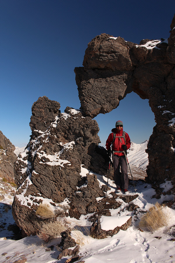
Zosia stands under a natural arch not far below the summit.
I can confidently say, "Almost there!" Zosia hikes up the final slope before the top.
We picked a great peak to climb on this first bluebird day of our road trip! Sonny and Zosia stand on the summit of Corkscrew Peak (1765 metres).
The pinnacle at bottom left is a Class 4 scramble, but I didn't bother to attempt it. 
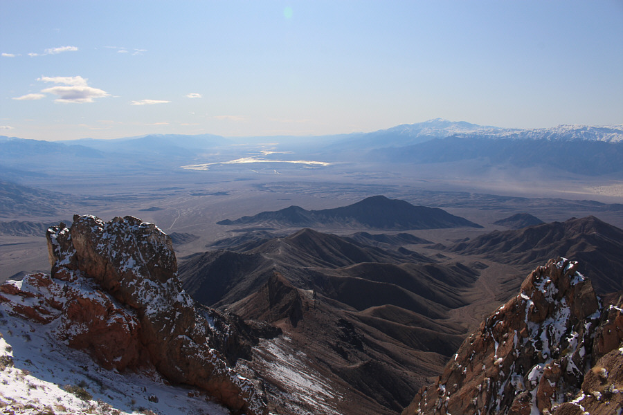
The view to the south includes Badwater Basin (left of centre) which is the lowest point in North America and Telescope Peak (right) which is the highest point in Death Valley National Park.
It's probably teeming with tourists right now! Mesquite Dunes can be seen at far left in this view to the southwest.
Some more peaks to file in my to-do list... 
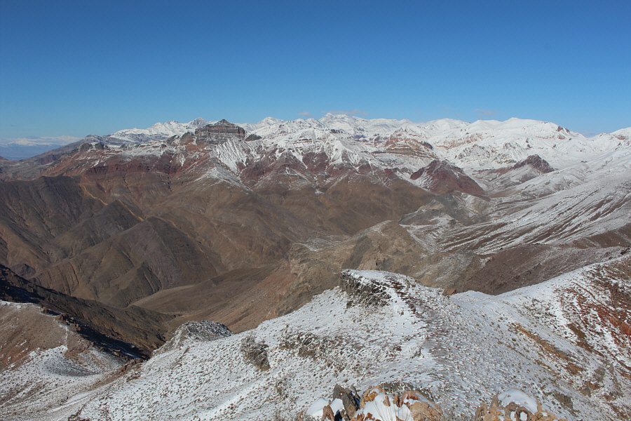
The bulk of the Grapevine Mountains stretch away to the northwest.  The mountain at left with the snow-free cliffs is Thimble Peak.  Just to the right of Thimble Peak on the distant horizon is Grapevine Peak, the high point of both the Grapevine Mountains and the much broader Amargosa Range.

A ridge-walker's paradise!

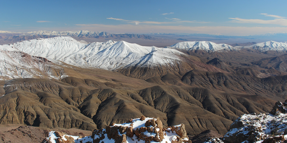
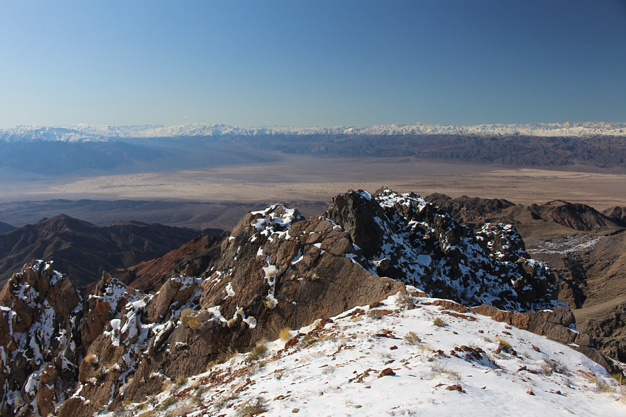
Snow covers the tops of several unnamed ridges to the east.


There once was a man from Nantucket... 
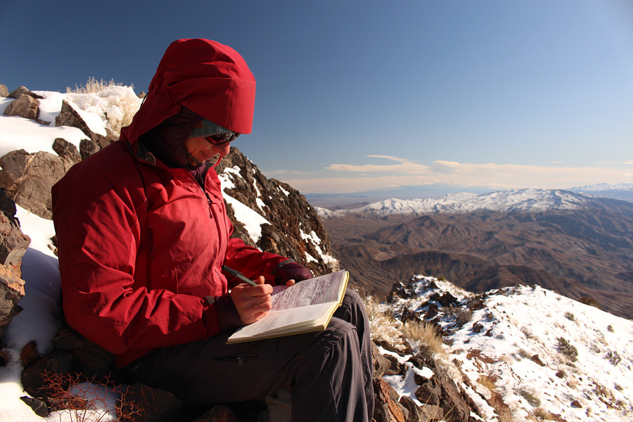
Zosia signs the summit register.

What an amazing view!

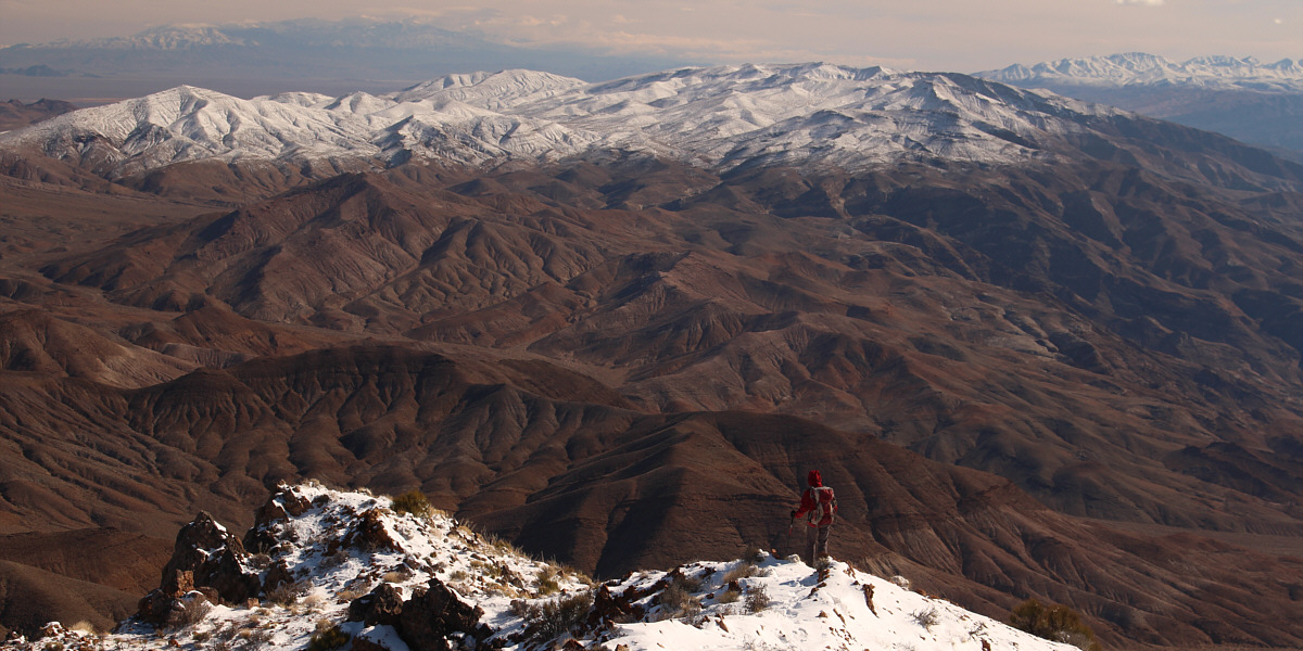
Zosia begins the long but easy descent.
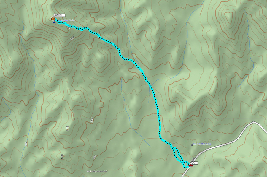
 

An absolutely fantastic hike from start to finish! Total Distance:  11.8 kilometres
Round-Trip Time:  5 hours 55 minutes
Net Elevation Gain:  962 metres

GPX Data

Finished with Corkscrew Peak, Zosia and I next drove to Ubehebe Crater at the end of pavement about 10 kilometres west of Grapevine Ranger Station in the northern half of the park.  The big volcanic hole in the ground is very popular with tourists although most do not bother to venture very far from the parking area.  Braving a rather bone-chilling wind, we circumnavigated the crater rim in a counter-clockwise direction.  While it would have been nice to take a closer look at Ubehebe Crater's smaller sibling, Little Hebe Crater, or to venture further into the inviting hills to the south, daylight was fading fast, and we simply did not have enough time to explore the area fully.
It's a very tough landmark to photograph! 
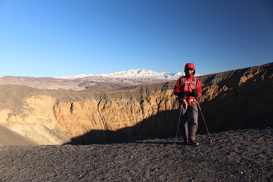
Zosia stands near the western rim of Ubehebe Crater.
So much to explore...so little time! 
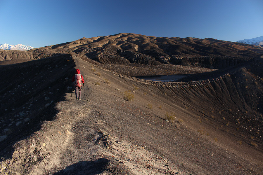
The hills to the south of Ubehebe Crater invite further exploration.
Doesn't seem to get as much love as Ubehebe... 
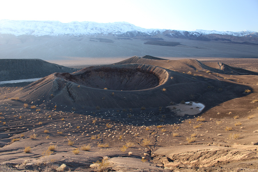
Little Hebe Crater is the smaller sibling of Ubehebe Crater.

Simply amazing scenery!

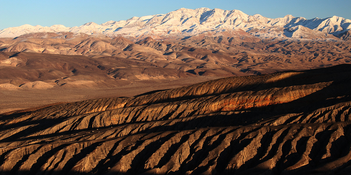
Shadows begin to creep across the landscape to the east of Ubehebe Crater late in the day.


World's biggest cat hole? 
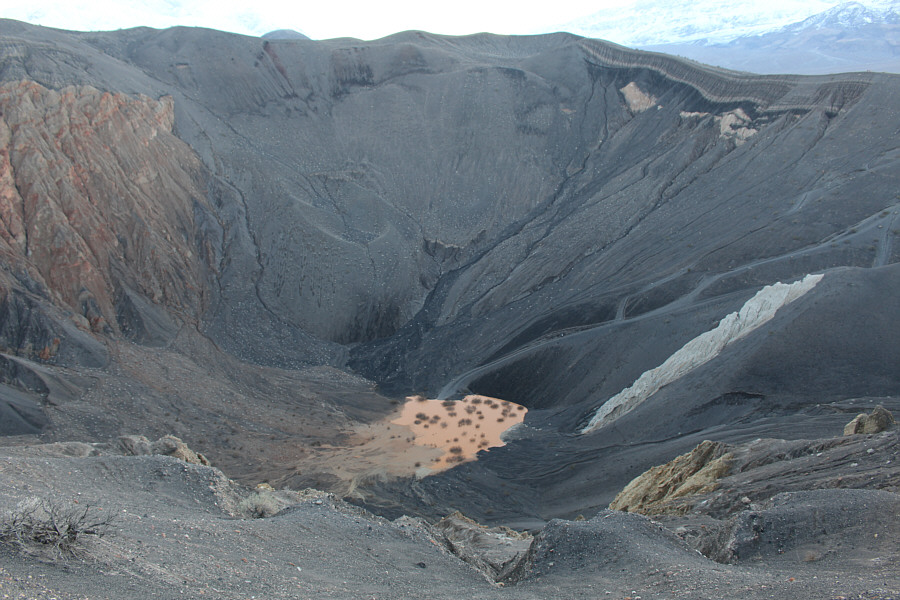
This is looking down at the bottom of Ubehebe Crater from the northern rim.
After completing our breezy walk around Ubehebe Crater, Zosia and I ate an early dinner in the warmth and comfort of our car at the parking lot.  Despite an already full day of hiking and exploration, our most challenging adventure of the day was still ahead of us--a very long and bumpy drive in the dark to Racetrack Playa (more about this in my next trip report).
Anyone for a cup of tea? 
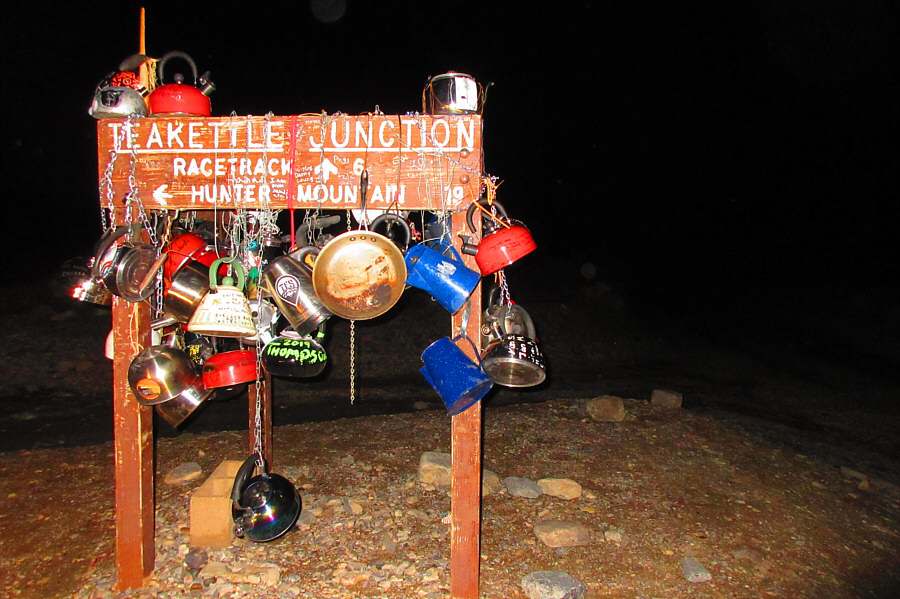
Aptly named Teakettle Junction is located about 32 kilometres south of Ubehebe Crater along Racetrack Valley Road.

Photo courtesy of Zosia Zgolak