BOU AVENUE
Mount Democrat, Mount Cameron, Mount Lincoln And Mount Bross
Continuing our tour of central Colorado, Zosia Zgolak and I made our way to Kite Lake trailhead in the Mosquito Range on the evening of 7 July 2019 in preparation for the following day's attempt to climb Mount Democrat, Mount Cameron, Mount Lincoln and Mount Bross all in one go.  Once again, we relied on Chris Meehan's guidebook, Climbing Colorado's Fourteeners, for access and route descriptions.

From Main Street (Highway 9) in the town of Alma, turn west onto Buckskin Street (County Road 8) and go straight through the intersection with Pine Street.  Drive about 9 kilometres to the end of the road at Kite Lake trailhead.  The last kilometre or so of road is quite rough and may require a vehicle with high clearance (or else park and walk the rest of the way).  Kite Lake trailhead has vault toilets and charges a day use parking fee ($3 USD).
Biosphere III? Or movie set for "Silent Running"? 
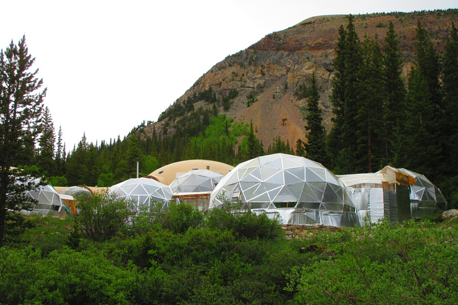
These curious domed buildings can be found along the road to Kite Lake trailhead.

Photo courtesy of Zosia Zgolak

With all the snow, staying on route will be tricky especially in the dark! 
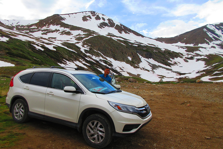
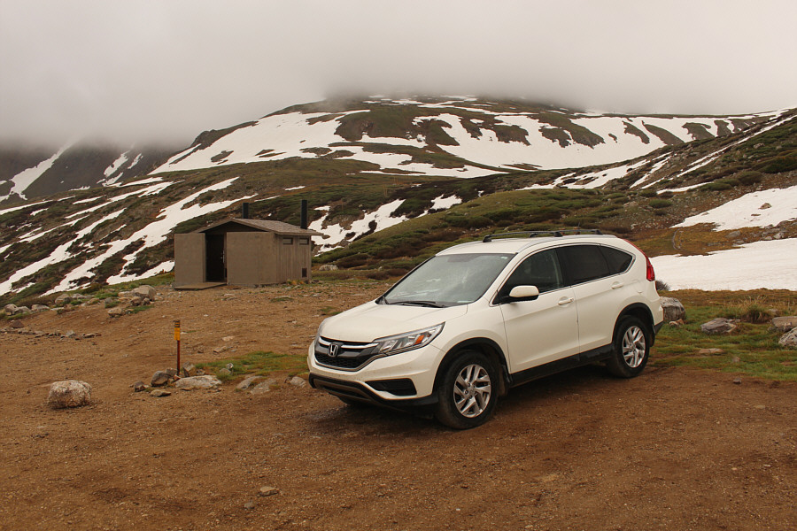
Sonny parks his car below Mount Democrat at Kite Lake trailhead.  The standard ascent route goes up to the saddle at right and then follows the ridge up to the top.

Photo courtesy of Zosia Zgolak

After spending the night at Kite Lake trailhead, Zosia and I got up well before dawn on the morning of 8 July 2019 to begin hiking up Mount Democrat.  Starting with headlamps, we had some route-finding difficulties near the start especially since snow still covered parts of the trail.  Fortunately, another party that started behind us soon forged ahead, and we were able to use the lights from their headlamps to help guide us in the dark.  We climbed at least one fairly steep snow slope on our way up, and while Zosia donned her cleats here, I managed fine just with my boots.

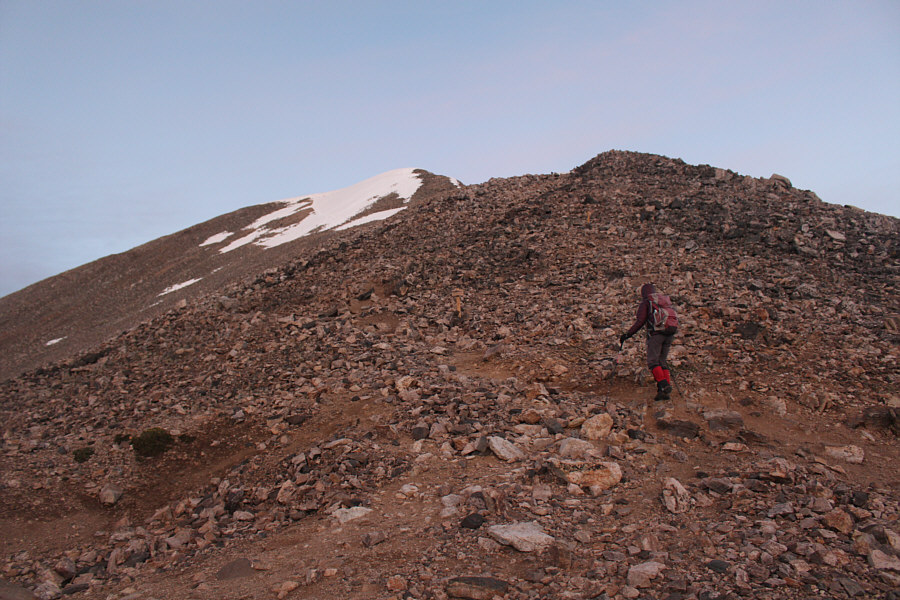
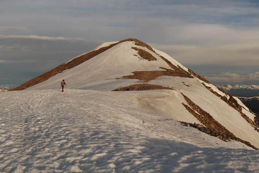
Lighting improved as we approached the crest of the saddle between Mount Democrat and Mount Cameron, and we could finally see our ascent route from a distance.  From the saddle, we essentially went straight up the east ridge of Mount Democrat, and although the trail braids quite a bit here and seemingly disappears once in awhile in the boulders, the route is generally obvious.  At the top of the east ridge, we crossed a brief flat section before finishing the ascent with a short easy climb up the summit block.
We had a few issues getting up here mostly in the dark. 
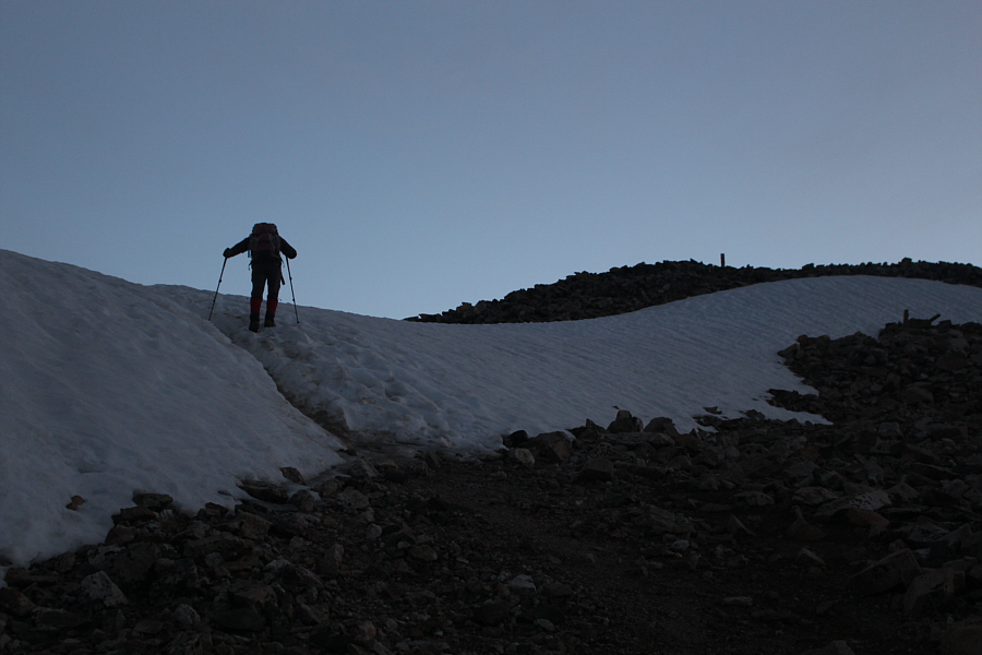
Before dawn, Zosia crosses a snow patch near the saddle between Mount Democrat and Mount Cameron.
I think I'm starting to wake up... 
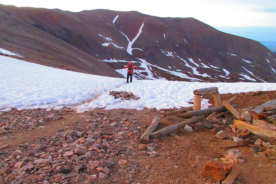
An old mine site can be found at the saddle.  Behind Sonny is Mount Bross.

Photo courtesy of Zosia Zgolak

Some people traverse the high face for some strange reason, but it's easier to just stay on the ridge crest. Zosia heads up the east ridge of Mount Democrat.
Awesome morning light! 
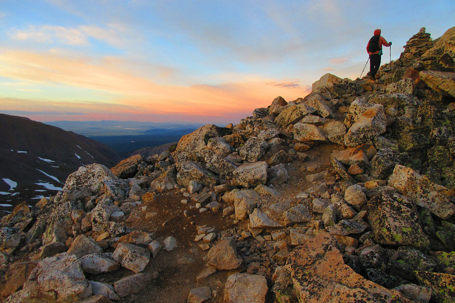
Occasional cairns mark the way up Mount Democrat.

Photo courtesy of Zosia Zgolak

Sadly, this is the best view of the day!

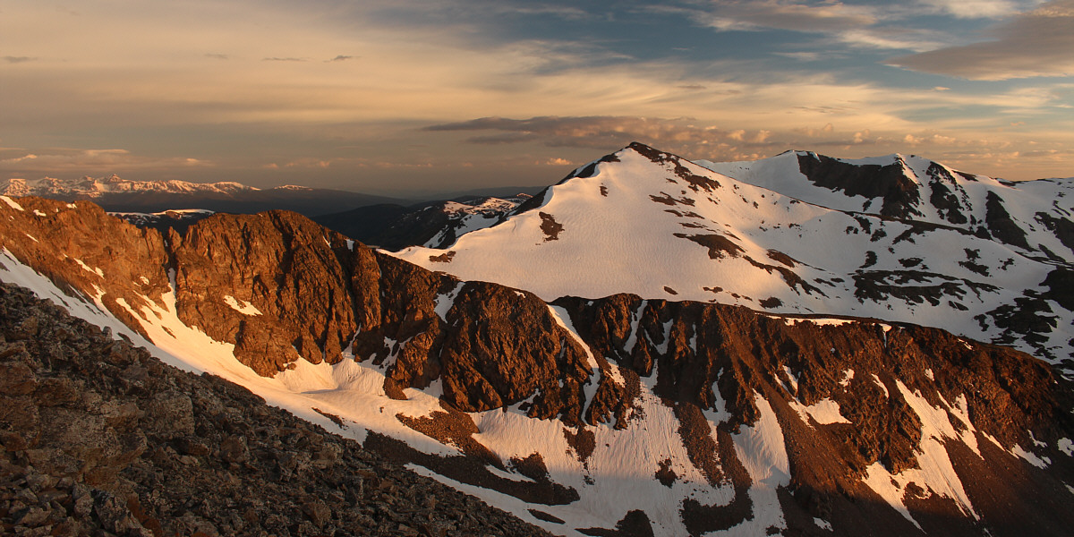
Morning sunlight sets the nearby ridge aglow.  Right of centre is Traver Peak.


There are a few different beaten paths going up the boulders here. 
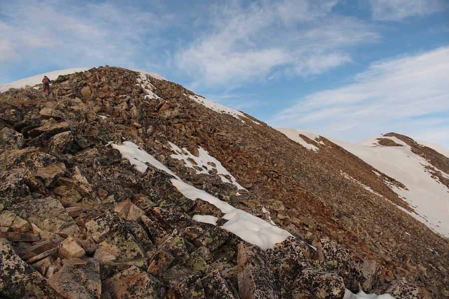
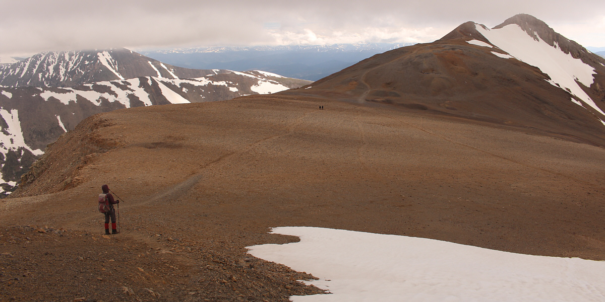
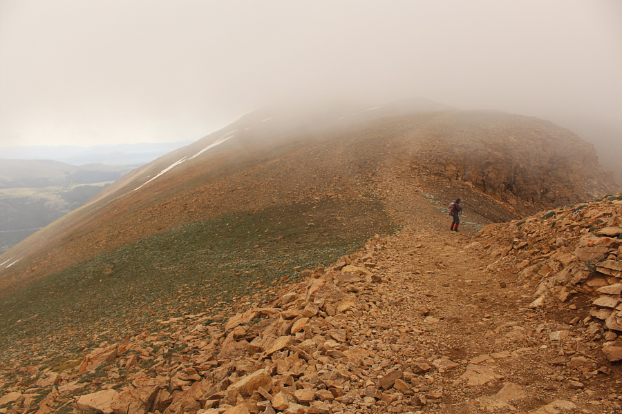
Zosia approaches the top of the east ridge.  Other hikers can be seen on the summit of Mount Democrat at far right.
Almost there. Zosia approaches the summit block of Mount Democrat.
One down and three to go... 
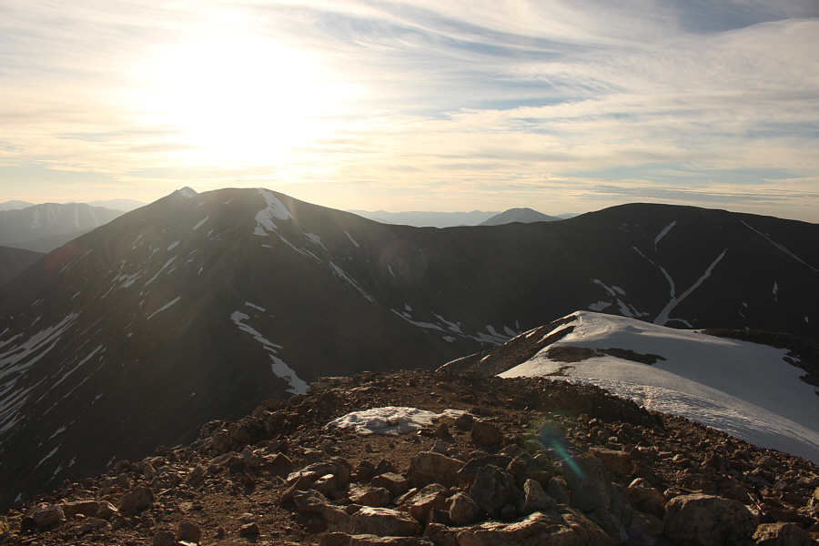
From Mount Democrat's summit, Mount Lincoln, Mount Cameron and Mount Bross are all visible to the east.
Lots of amazing ridge walking you could do here! 
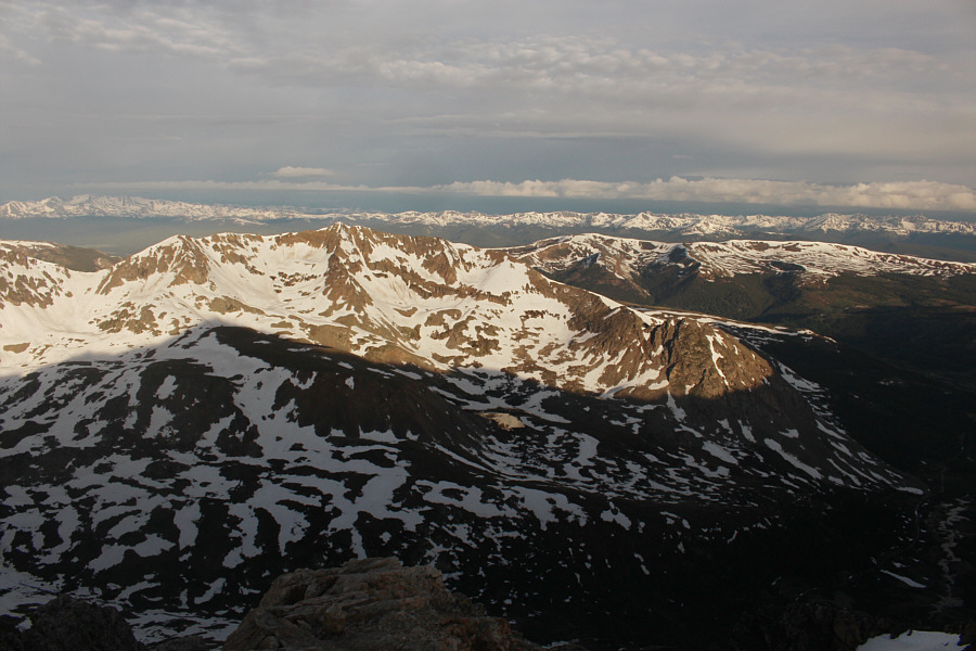
The nearest mountain to the south is Mount Buckskin (centre).
Still looks like you could do some ski touring on some of these peaks! The view to the west includes Mount Arkansas (left) and Buckeye Peak (distant right).
I wonder if Republicans climb this mountain too... 
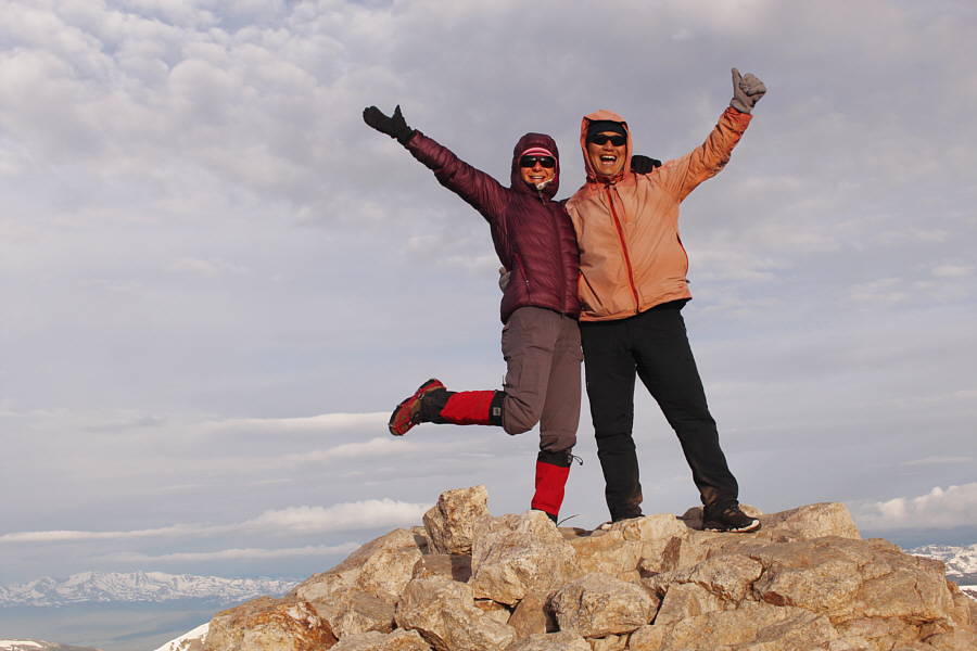
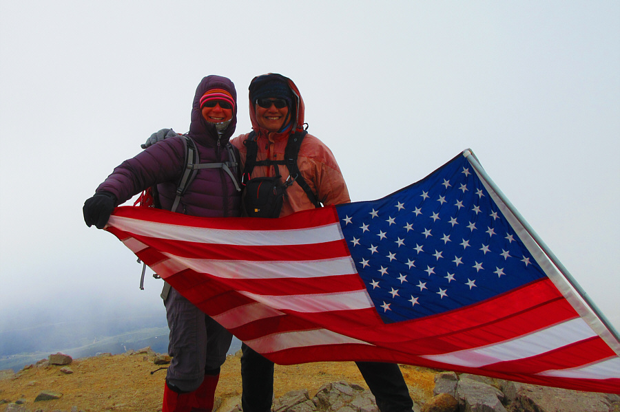
Zosia and Sonny rejoice on the summit of Mount Democrat (4301 metres).
After a short break on the summit of Mount Democrat, Zosia and I retraced our steps down the east ridge and back to the saddle.  From there, we continued up the west ridge of Mount Cameron on a good trail with no technical difficulties or route-finding problems.  However, the climb is much longer than expected, and we passed a couple of annoying false summits before finally reaching the top of Mount Cameron.
You're in for a grind going up here! 
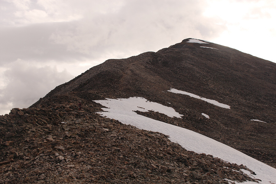
The west ridge of Mount Cameron is deceptively long.
There are a few annoying false summits along the way! 
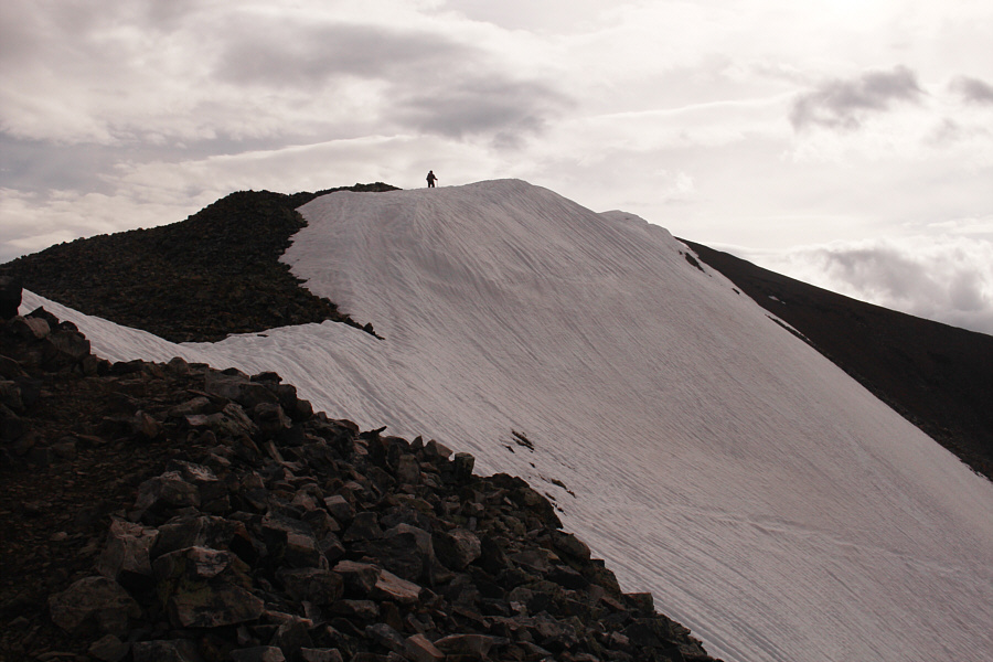
Zosia passes a snow patch not far from the top of Mount Cameron.
Some people don't consider this a real mountain even though it is officially named. 
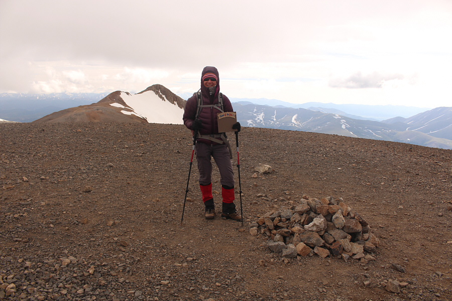
Zosia reaches the summit of Mount Cameron (4325 metres) with Mount Lincoln visible in the distance.
By the time Zosia and I reached the summit of Mount Cameron, the weather had taken a turn for the worse with low clouds moving in accompanied by a bone-chilling wind.  Fearing the possibility of incoming rain, we wasted little time in dropping down slightly to cross a large plateau separating Mount Cameron from Mount Lincoln.  The relatively short trail going up Mount Lincoln is well-defined and easy to follow, and once again, we had no issues whatsoever with the ascent.

We're starting to lose our nice weather...

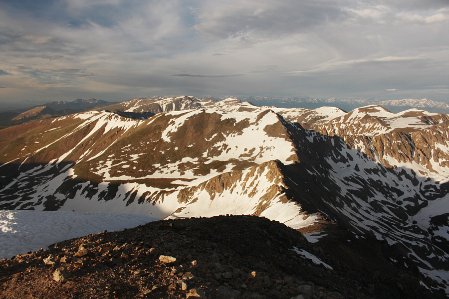
Zosia drops down from Mount Cameron to cross a large plateau en route to Mount Lincoln.  Note the trail from Mount Bross coming in from the right.


Fortunately, we didn't get rained on here. 
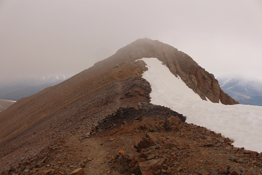
Mist begins to obscure the summit of Mount Lincoln.
Eeeep! 
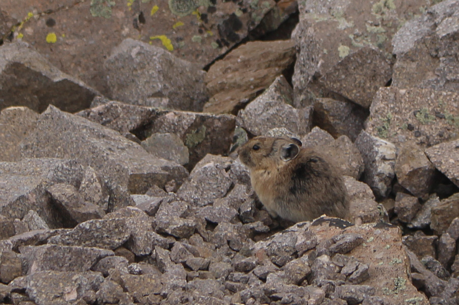
A pika pokes about in the rocks below the summit of Mount Lincoln.
It's saying, "GTFO"! 
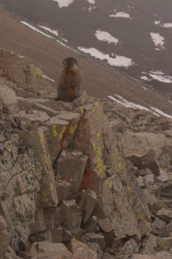
A marmot stands up to gauge the threat level of all the humans intruding on its home.
Too bad we didn't have any views from here. Zosia and Sonny stand on the summit of Mount Lincoln (4356 metres).

Photo courtesy of Zosia Zgolak

Disappointingly, Zosia and I could see little from the top of Mount Lincoln because of low clouds, and we only stayed long enough to have a quick snack before descending the trail back to the plateau.  At an obvious junction there, we turned south and followed the trail leading to Mount Bross even though we could not see the mountain through the thick mist. Fortunately, rain had not yet fallen, and with the trail being on the lee side of the connecting ridge between Mount Cameron and Mount Bross, we were even sheltered somewhat from the cold wind.  Despite overall poor visibility and a few lingering snow patches, the trail to Mount Bross was easy to follow, and we enjoyed a very pleasant trouble-free hike to the summit.
Even if the weather worsened, it's easier to get down to the trailhead via Mount Bross anyway. Despite the low visibility, Zosia faithfully stays on the trail leading to Mount Bross.
I think most people climbing Mount Bross ignore these signs anyway. There are a few of these private property signs scattered around Mount Bross, but none of them explicitly forbid the public from entering the area.
We're still complying with the previous sign and staying on the trail! The mist clears a bit as Zosia continues along the connecting ridge to Mount Bross.
I would be most interested to learn about the story of this abandoned truck. 
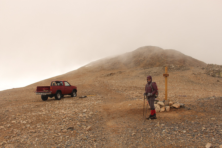
Why this pickup truck was abandoned at this broad saddle to the north of Mount Bross is a mystery.  Unfortunately, vandals have trashed the truck.
Unfortunately, we had no views from this summit either. Sonny and Zosia sit on a wind break at the summit of Mount Bross (~4320 metres).
On the summit of Mount Bross, Zosia and I met a trail runner from Illinois and chatted at length with him before he took off on the trail leading back to the trailhead.  We soon followed him down albeit at a much slower pace.  Many parties do the same circuit in reverse order by climbing up Mount Bross first, but both of us agreed that this would be a steeper and more sustained climb than going up Mount Democrat first.

About halfway down, we ran into a party of three that were just beginning their climb, but by now, rain had started to fall in the area.  They were a bit torn between continuing and pulling the plug, and I offered them my opinion that the summits were probably not worth the effort given the inclement weather.  I sincerely added that it was probably a good time to go for a beer which elicited a few agreeing nods.  Not wanting to linger in the rain, Zosia and I pushed on with our descent of the trail, and when we were near the bottom, I casually glanced back up the slope and noticed that the three hikers were retreating just as I had suggested.  Unfortunately, we never did hook up with them again to go for a beer somewhere.
It will start raining shortly. I'm glad we're heading down for good. 
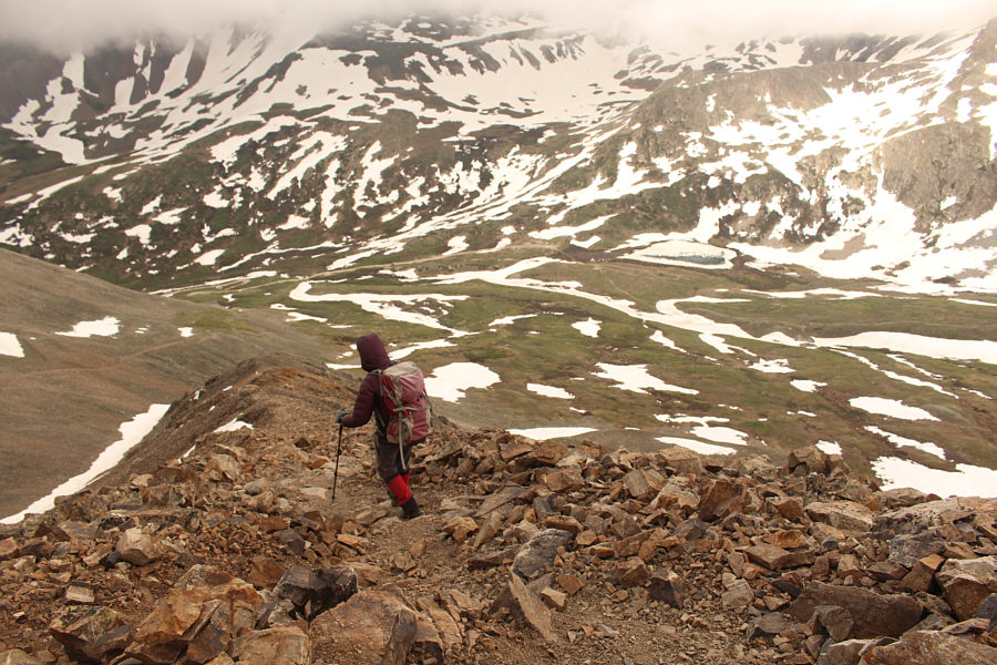
Zosia descends the very steep trail which leads back to Kite Lake trailhead (centre).
Well, we got our 4 peaks anyway, so let's just get outta here! The weather does not improve much back at Kite Lake trailhead.
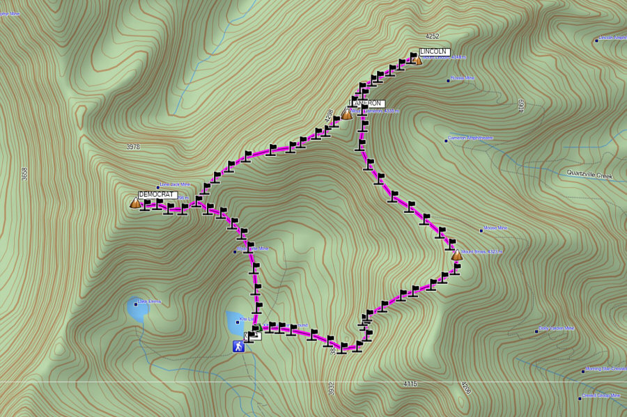
Too bad about the weather and my GPS batteries dying! Total Distance:  ~10 kilometres
Round-Trip Time:  7 hours 57 minutes
Cumulative Elevation Gain:  ~1000 metres

Route and waypoints shown are approximate.