BOU AVENUE
Notch Peak
Notch Peak in western Utah is known for having one of the highest cliff faces in North America, but its summit can be reached by a moderately difficult non-technical route as described in 100 Hikes in Utah by Steve Mann & Rhett Olson.  Zosia Zgolak and I paid a visit to this remote peak on 22 December 2019.

Turn north onto a good gravel road from US Highway 50/6 about 56 kilometres west of Hinckley or about 77 kilometres east of the Nevada-Utah border.  About 1.6 kilometres from the highway, turn right and drive north along Steamboat Pass Road for 3.9 kilometres to a junction with Miller Canyon Road.  Turn left and drive westward for 8.2 kilometres to another junction at Amasa ATV Area (free campsite with picnic shelter and vault toilet).  Turn left onto a rougher road (high clearance vehicle recommended) heading southwest and drive for 5.4 kilometres to the signed trailhead (an old cabin is passed about 4.2 kilometres from Amasa ATV Area).

From the trailhead, Zosia and I headed northwest along the continuation of the rough road.  Almost right away and for much of the route, there was an ankle-deep layer of snow covering the ground, but fortunately, most of the snow was crusty and generally supportive which actually made for easier walking.  The road forks about one kilometre north of the trailhead, and we turned left to begin a long and winding haul up a canyon (the road disappears into the wash here).  About three kilometres beyond the road fork, we had to scramble up a series of steep ledges.  The first of these was quite tricky to ascend especially with snow making the rocks slippery, and I was not sure if we could safely descend this step on our return.

Above the ledges, we continued with more easy plodding up the canyon until it began petering out to become more of an open drainage.  Rather than staying in the drainage, we opted to climb a broad ridge which ultimately led us to a saddle where we got our first look at Notch Peak's precipitous north face.  The final scramble from the saddle to the summit is fairly straightforward, but we were buffeted by an uncomfortably cold wind all the way up.  Because of the wind, we limited our stay at the top and hurried back down to the saddle as soon as I was done with my usual summit chores.  For the rest of our descent, we mostly retraced our steps through the canyon, but instead of down-climbing the aforementioned tricky step, we managed to circumvent it to skier's left.  The remaining hike out was long but uneventful.

It's chilly!

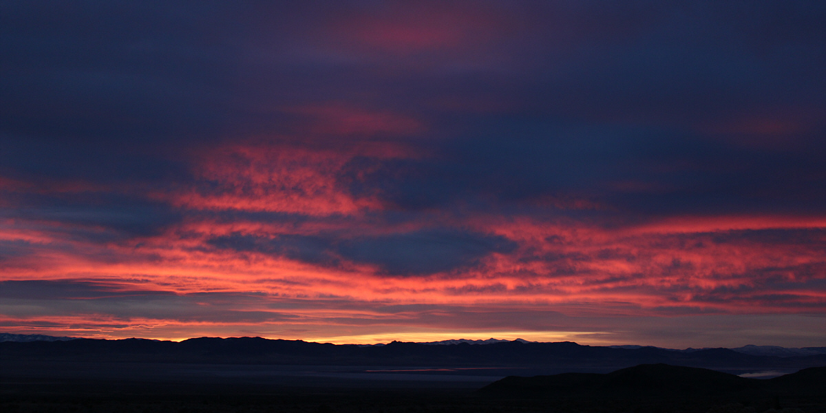
The break of dawn arrives in western Utah.


A vehicle with high clearance helps! 
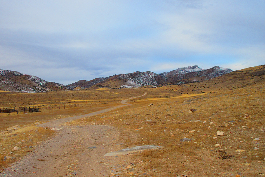
Notch Peak is visible on the right horizon in this view from the road leading to the trailhead.

Photo courtesy of Zosia Zgolak

We're off to a great start! 
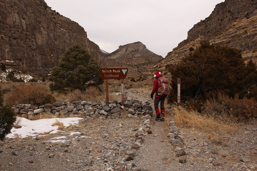
Zosia starts hiking from the trailhead sign.
Maybe we should have brought skis... 
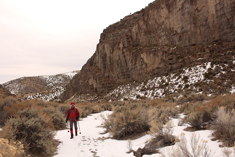
The trail is snow-covered almost right from the start.
What's a hike without a little bushwhacking? 
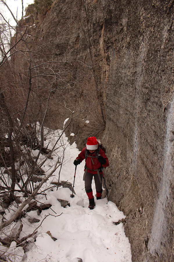
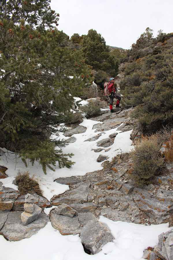
Zosia has to hug the canyon wall to avoid some trees choking the route.
Thank goodness the snow was mostly supportive and not too deep! 
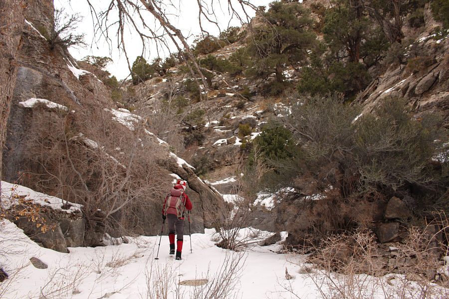
The walk through the canyon is long.
I hope we're in the right canyon! 
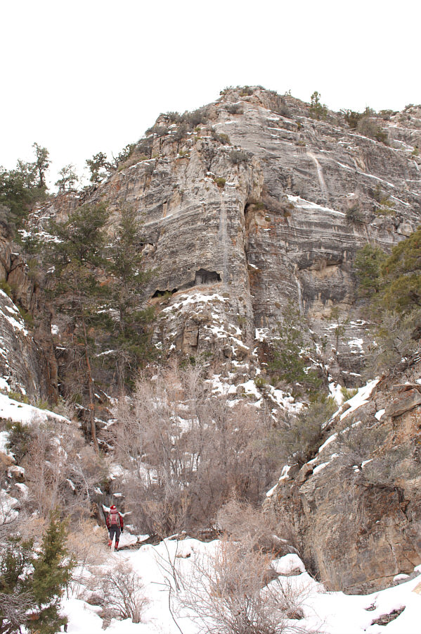
Zosia passes under an impressive wall as the canyon begins to narrow.
I have an embarrassing hole in my pants! Sonny scrambles up one of several steep rock bands in the canyon.

Photo courtesy of Zosia Zgolak

Nicely done, Zosia! 
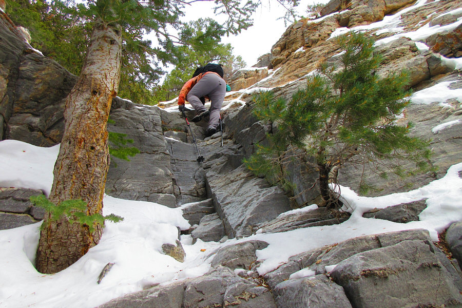
Zosia scrambles up a short step made trickier by the presence of snow.
I guess we're still on the right track! Zosia begins to climb out of the drainage just beyond a small cairn.
We're finally out of the canyon! 
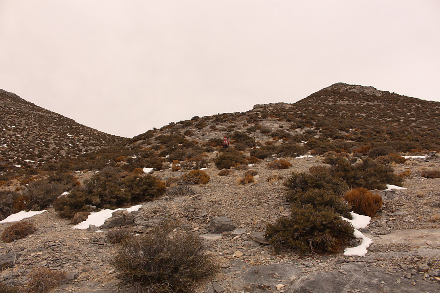
While ascending a semi-open ridge, Zosia aims for the gap at left.
We got this! Zosia hikes up the final slope before the top of Notch Peak.
An exit point for a climbing route? 
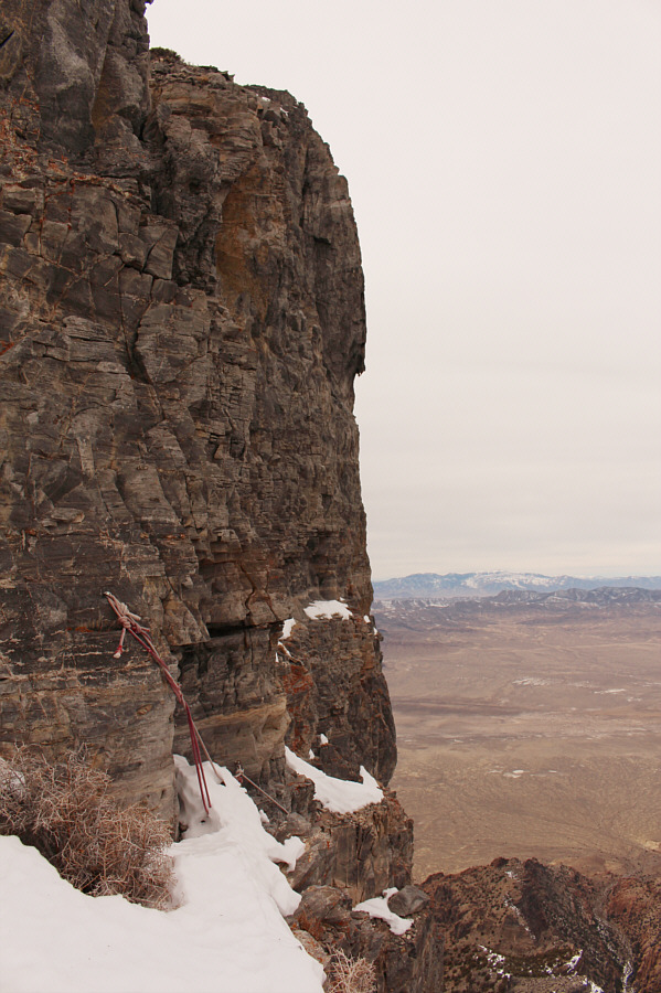
A rope has been left attached to some bolts near the precipitous north face of Notch Peak.
It's Santa and one of his reindeer! Zosia and Sonny brace themselves against a cold wind on the summit of Notch Peak (2944 metres).

Salty lake!

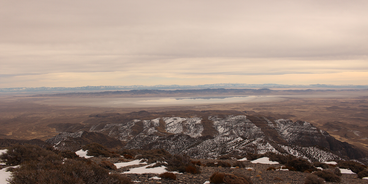
To the southeast, distant peaks are reflected in the waters of Sevier Lake which is usually dry.


Sublime scenery!

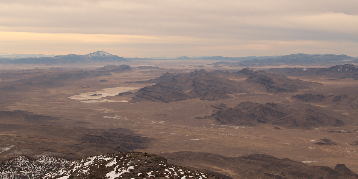
The most prominent features to the south are an unnamed playa at left and Frisco Peak on the left horizon.


Don't look over the edge! 
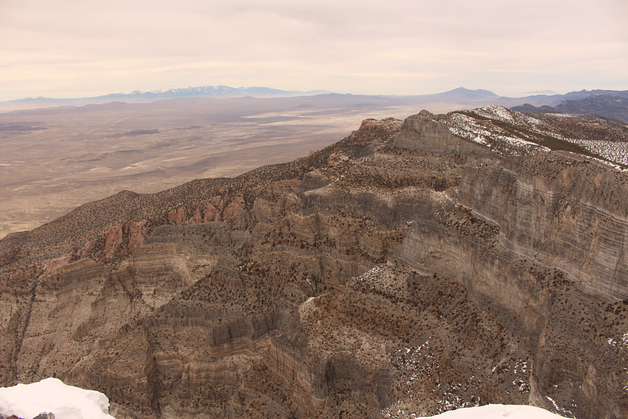
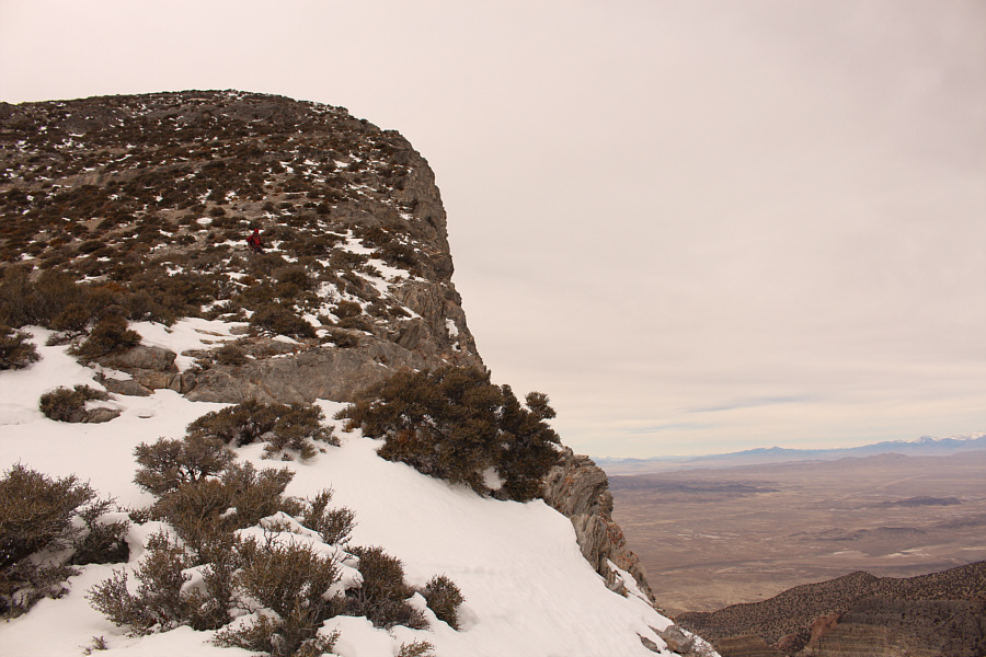
Although Notch Peak's cliffs are not readily visible from its summit, the cliffs along the ridges to the north are equally impressive.  Visible on the left horizon is Ibapah Peak while George H. Hansen Peak can be seen on the right horizon.
Nice to get down and out of the wind! Zosia heads back down to the drainage for the return journey.
A little easier going downhill through the canyon. Zosia hikes through the canyon again.
We're almost done. Seeing these ridges, Zosia knows that the trailhead is not too far away (around the next corner to the right).

Sure, NOW the sun comes out!

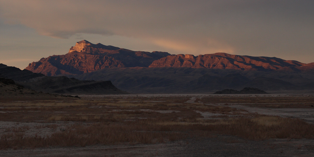
Late day sunshine illuminates the top of Notch Peak (left) in this view from a road to the south.


It's mostly a long hike in a very remote area. Total Distance:  12.8 kilometres
Round-Trip Time:  6 hours 18 minutes
Net Elevation Gain:  857 metres

GPX Data