Photo courtesy of Zosia Zgolak

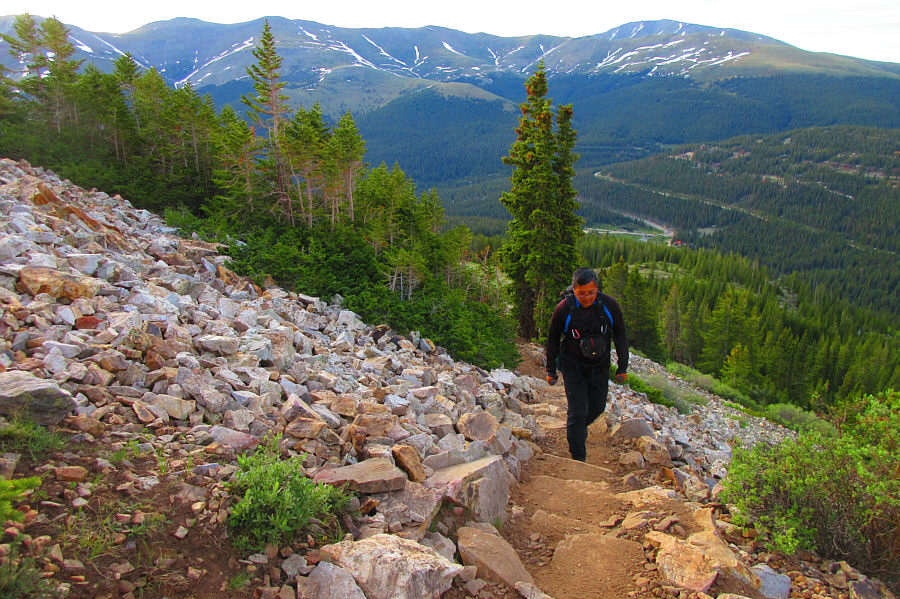
Photo courtesy of Zosia Zgolak
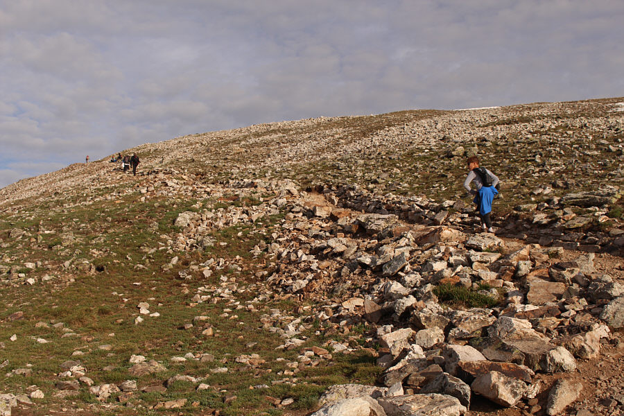

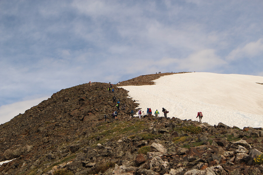

Photo courtesy of Zosia Zgolak
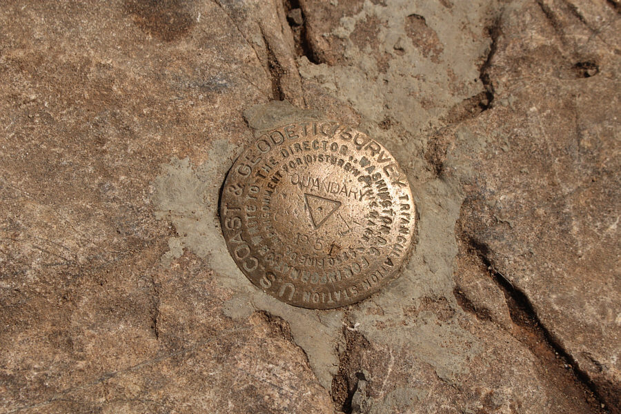
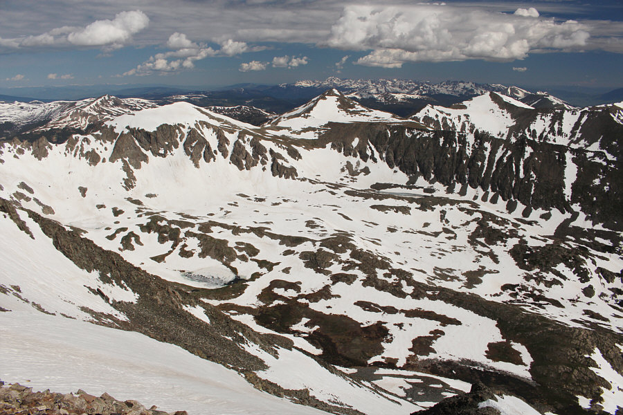
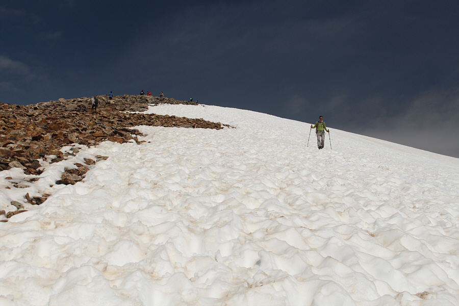
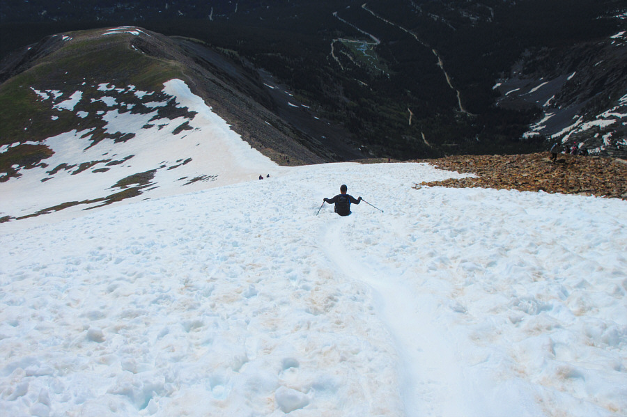
Photo courtesy of Zosia Zgolak
|
|
Zosia sets a brisk pace up the trail. |
|
|
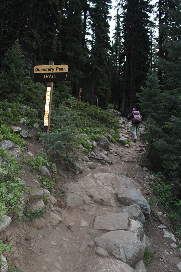
Sonny seems less than excited about
the standard route up Quandary Peak. Photo courtesy of Zosia Zgolak |
|
|
A break in the trees grants this view of the upcoming climb. |
|
|
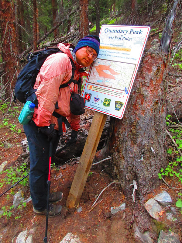
The well-defined trail eliminates the
need for route-finding on this mountain. Photo courtesy of Zosia Zgolak |
|
|
Beyond the last trees, the trail climbs up through tundra-like terrain. Zosia is visible here on the skyline at far left. |
|
|
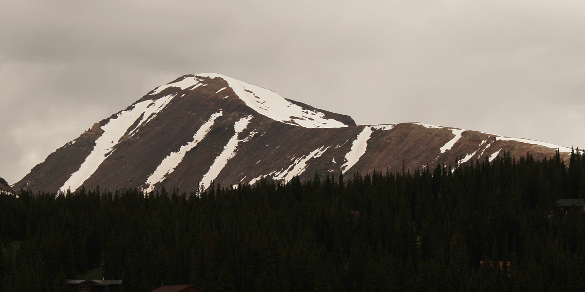
The east ridge of Quandary Peak looks gentle enough, but the summit is still a lengthy climb from here. |
|
|
A steady stream of hikers head up the final stretch before the summit. |
|
|
Zosia and Sonny stand near the summit of Quandary Peak (4346 metres).
Note that the peak's name is misspelled on the placard, but the elevation
corresponds precisely with Sonny's GPS reading. Photo courtesy of Zosia Zgolak |
|
|
Here is Quandary Peak's summit survey marker. |
|
|
The mountains surrounding the basin just north of Quandary Peak include Atlantic Peak (left) and Pacific Peak (centre). Both peaks are over 13,000 feet in elevation. |
|
|
Although the footing is a bit uneven on the sun-kissed snow, it is nevertheless easier to descend here than on the rocks to the left of the photo. |
|
|
Despite not bringing an ice axe, Sonny just cannot resist a good
glissade. Photo courtesy of Zosia Zgolak |
|
|
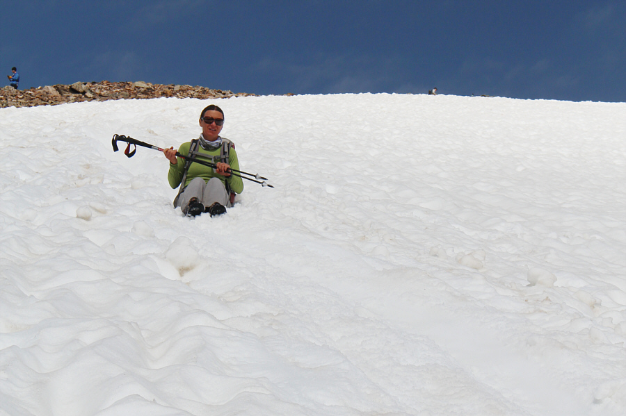
Zosia cautiously gets her bum wet. |
|
|
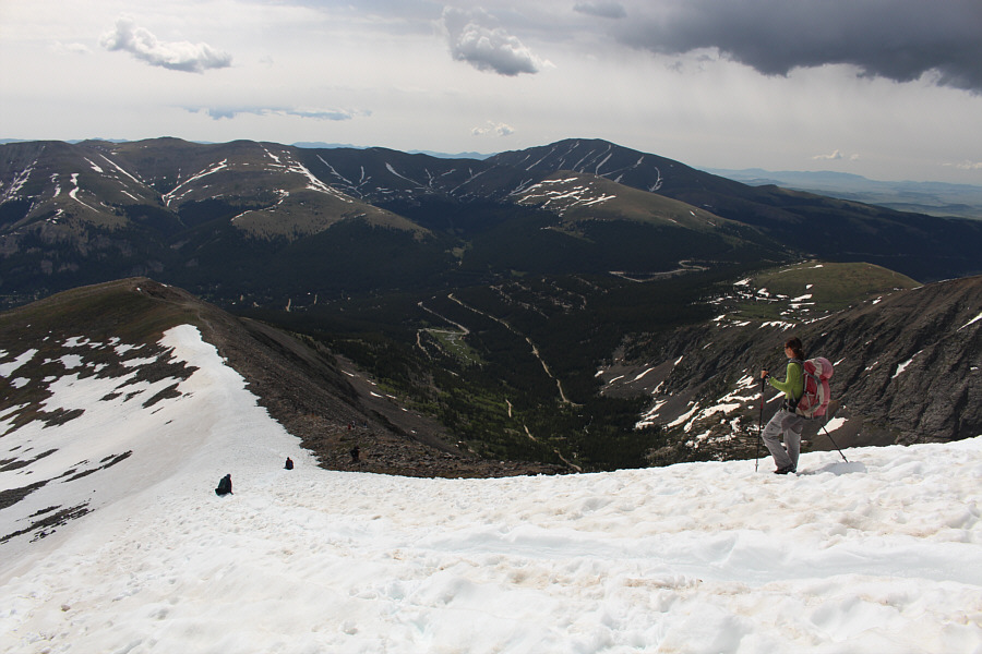
Zosia decides to dry her bum off and plunge-step the rest of the way down the snow slope. |
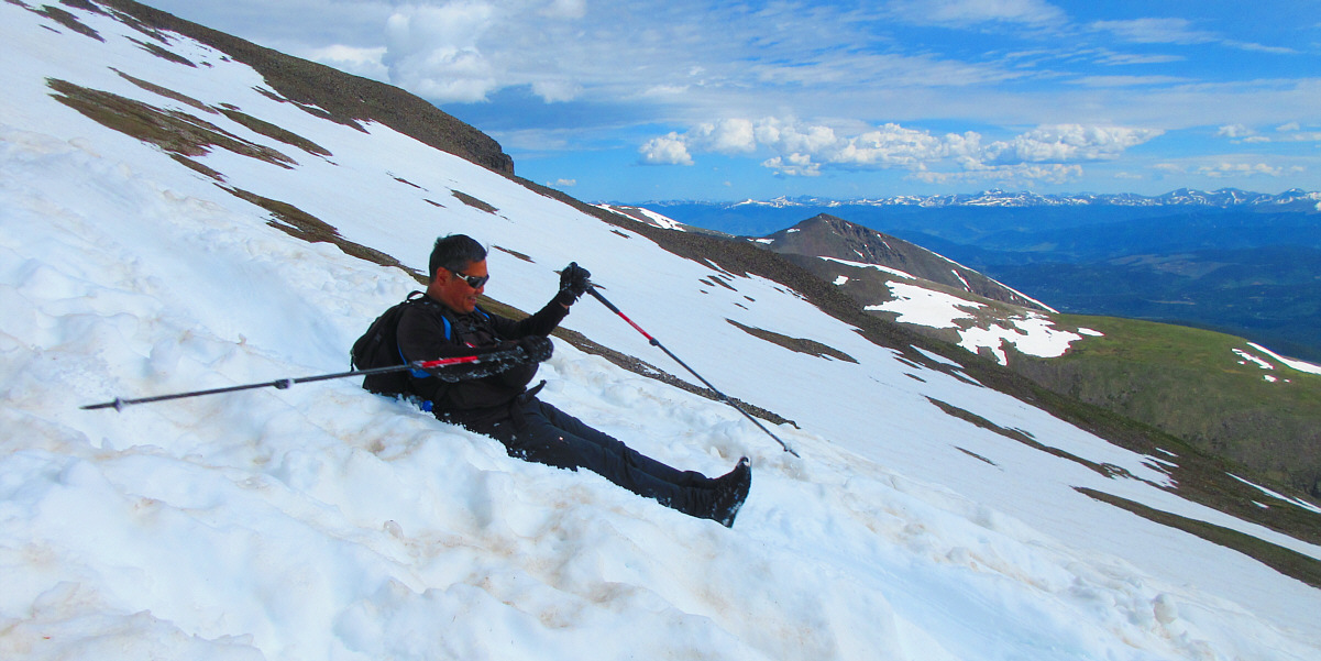
Sonny takes one last slide down the ridge.
Photo courtesy of Zosia Zgolak
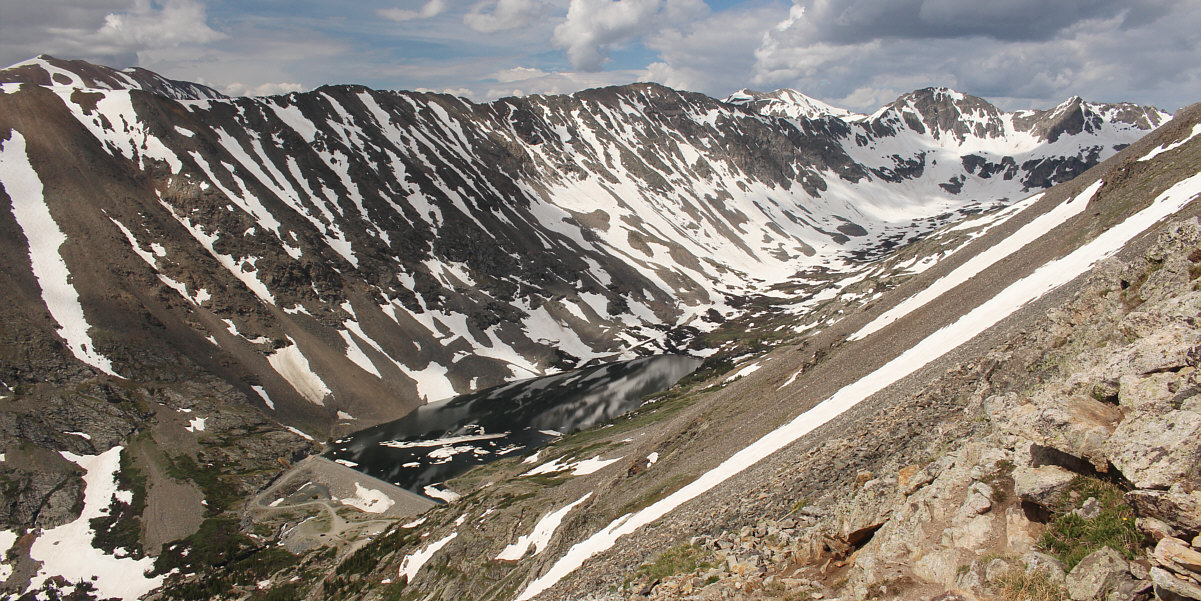
This is the view of Upper Blue Lake which sits below the north slopes of North Star Mountain (far left). Some parties ascend Quandary Peak from the dam beside the lake.
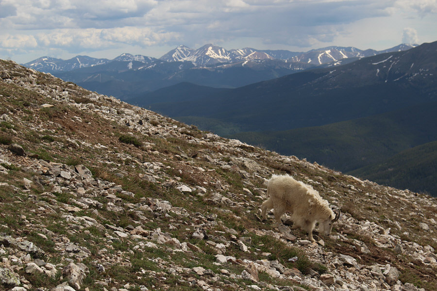 |
This is one of several goats seen along the trail on this day. |
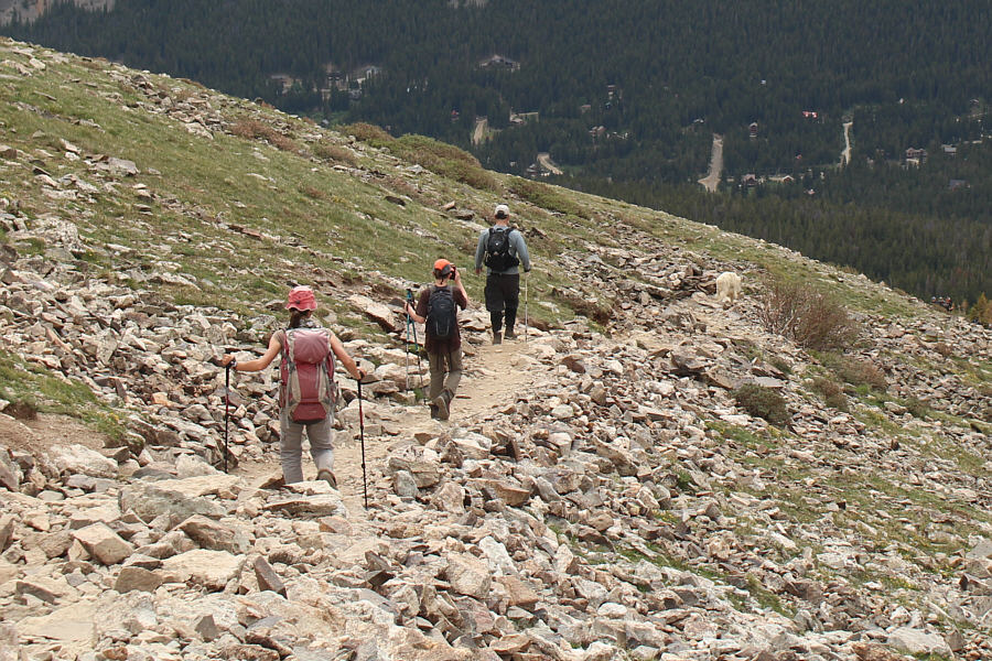 |
The goat leads Zosia and a couple of other hikers down the trail. |
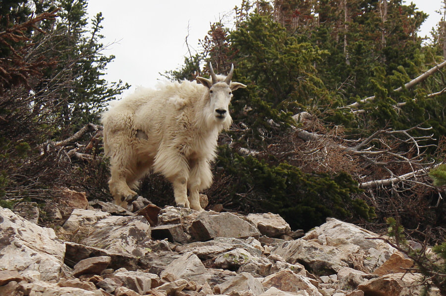 |
The goat looks a little forlorn after being left behind by Zosia and the other hikers. |
Here is a last look at Quandary Peak from the highway just north of Hoosier Pass.
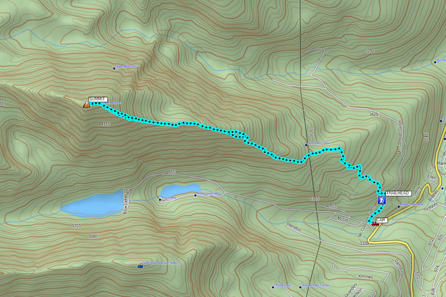 |
Total
Distance: 11.5 kilometres Round-Trip Time: 6 hours Net Elevation Gain: 1089 metres |