Photo courtesy of Zosia Zgolak
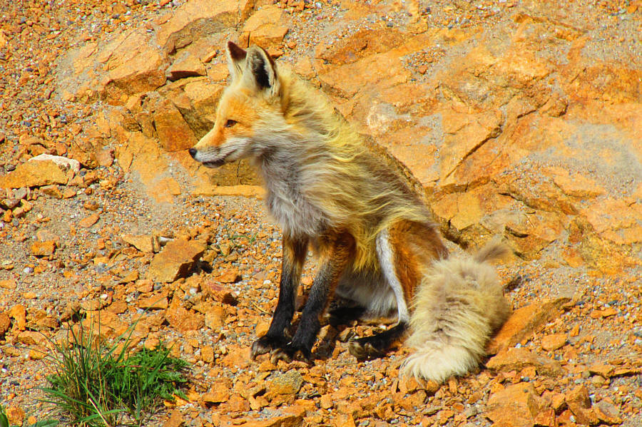
Photo courtesy of Zosia Zgolak
|
|
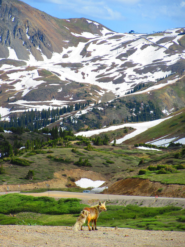
A fox wanders near the parking area at Loveland Pass. In the distance is Arapahoe Basin
Ski Area. Photo courtesy of Zosia Zgolak |
|
|
The fox does not seem perturbed by the
attention it is getting from the many tourists at Loveland Pass. Photo courtesy of Zosia Zgolak |
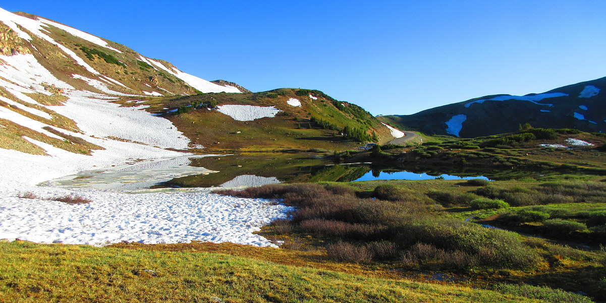
Pass Lake is located about a kilometre south of Loveland Pass. The ascent route for Mount Sniktau climbs the ridge at right.
Photo courtesy of Zosia Zgolak
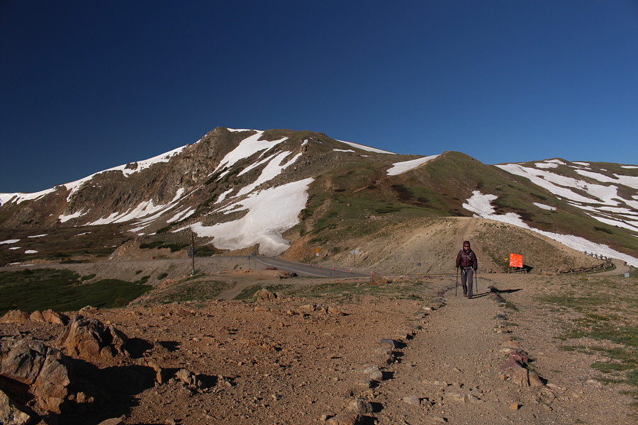 |
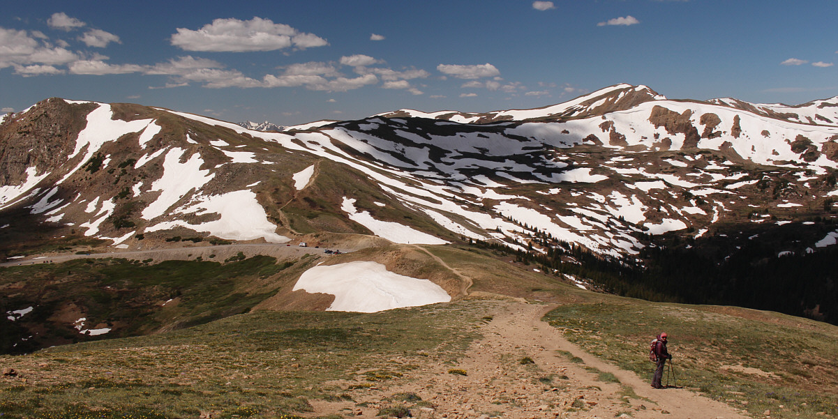
Zosia climbs away from the trailhead at Loveland Pass. |
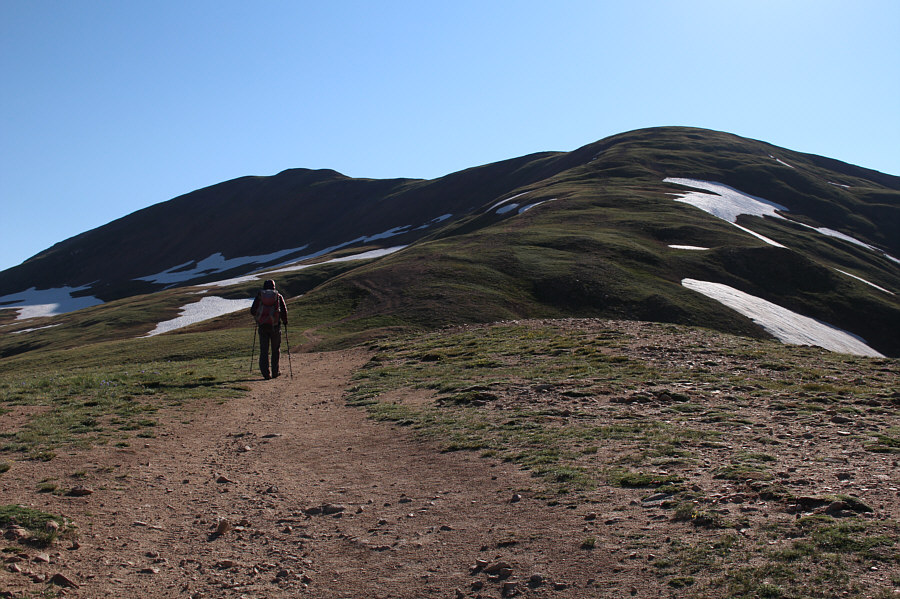 |
Zosia heads up the lower section of Mount Sniktau's southwest ridge which also happens to be along the Continental Divide. |
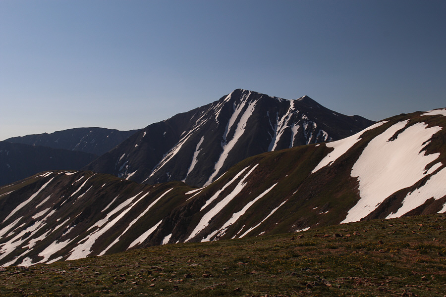 |
Torreys Peak and Grays Peak are already visible to the southeast from the trail. |
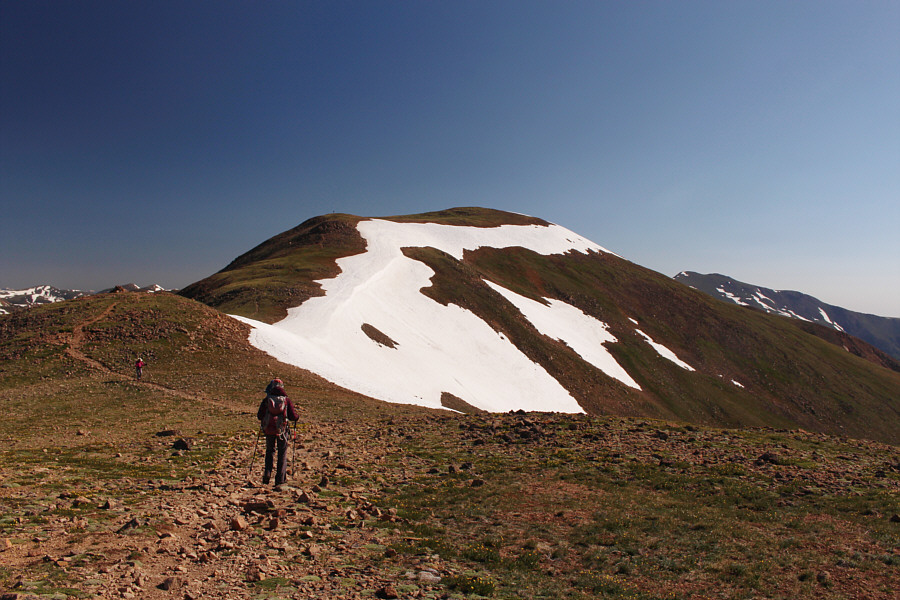 |
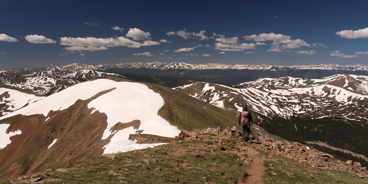
Zosia continues along the trail toward the second false summit. The true summit is not visible here. |
 |
The true summit finally comes into view from the second false summit. |
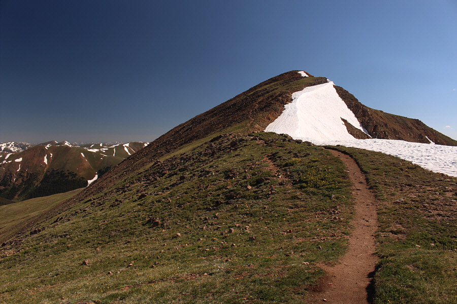 |
The well-defined trail rises up the final slope before the summit. |
 |
Sonny and Zosia stand on the summit of Mount Sniktau (4031 metres). |
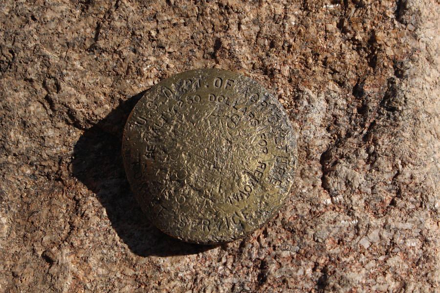 |
The summit survey marker is a bit beat-up. |
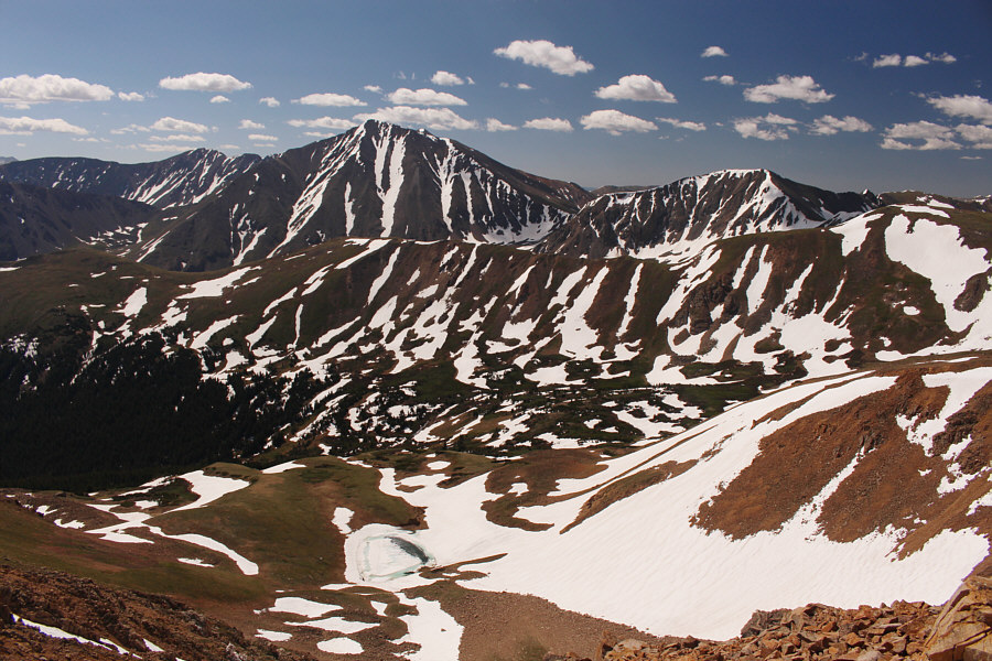 |
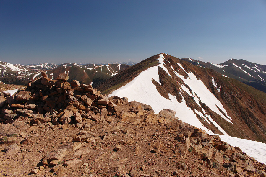
Most prominent to the southeast are Torreys Peak (left) and Grizzly Peak (right). The top of Grays Peak is barely visible above the right shoulder of Torreys Peak. |
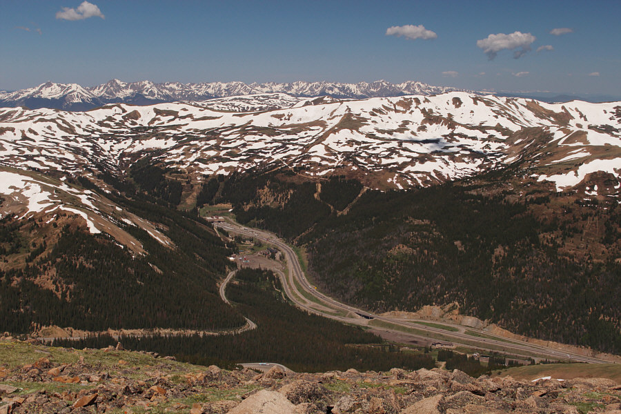 |
The eastern entrance of Eisenhower-Edwin C. Johnson Memorial Tunnel is visible to the west. The tunnel is about 2.7 kilometres long and crosses under the Continental Divide. |
 |
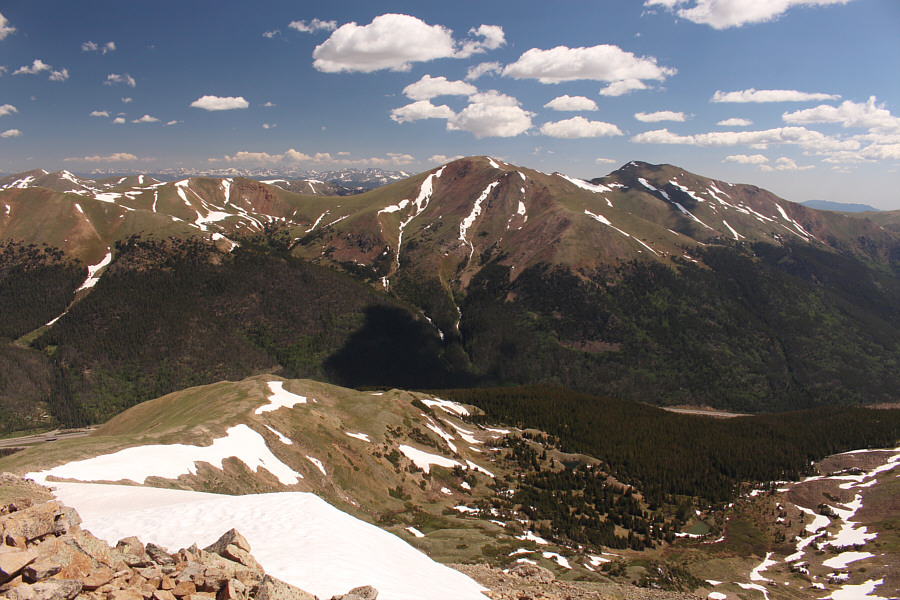
Notable peaks to the northwest include Hagar Mountain (left) and Pettingell Peak (right). |
 |
Mount Parnassus (centre) and Bard Peak (right) sit to the northeast. Although it is hard to discern, Longs Peak is visible on the left horizon. |
Zosia leaves the summit of Mount Sniktau.
Zosia descends the final section of trail back to Loveland Pass.
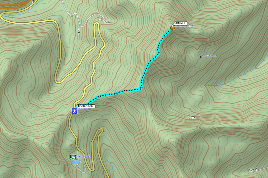 |
Total
Distance: 6.0 kilometres Round-Trip Time: 3 hours 55 minutes Net Elevation Gain: 462 metres |