
Photo courtesy of Zosia Zgolak
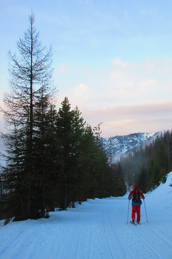
Photo courtesy of Zosia Zgolak

Photo courtesy of Zosia Zgolak

|
|
Sonny accesses the old railway right-of-way from the parking lot of
Lookout Pass Ski & Recreation Area. Photo courtesy of Zosia Zgolak |
|
|
The trip starts with a gentle descent
for about two kilometres along the old railway right-of-way. Photo courtesy of Zosia Zgolak |
|
|
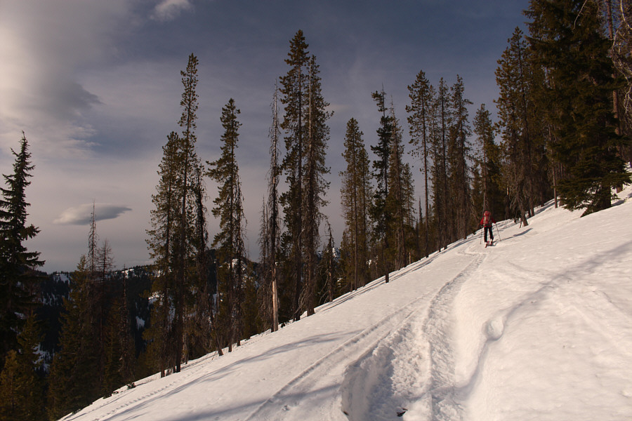
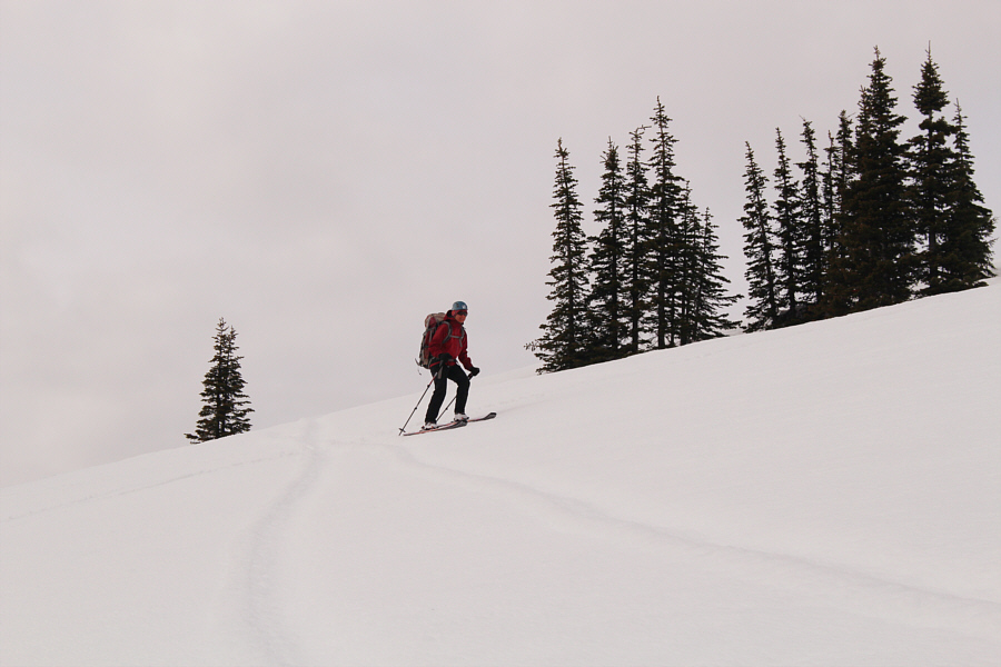
Sonny passes by the bottom of Timber Wolf chairlift in the southwest
corner of the ski resort. Photo courtesy of Zosia Zgolak |
|
|
Zosia follows a wide snowmobile track that leads to the ridge on the state border. |
We almost pulled the plug on the ascent at this point, but after taking a short break, we decided to give the headwall at the back of the basin a try. The terrain here is just as steep as that on our aborted traverse, but the abundance of trees made the headwall feel less exposed. As such, we climbed with greater confidence, and although we had to resort to boot-packing when the slope became too steep to skin up, our persistence paid off when we finally crested the east ridge of Stevens Peak. From there, we turned westward and dropped down a slight dip in the ridge before breaking out of the trees onto open south-facing slopes. We finished the ascent with an easy uphill plod.
 |
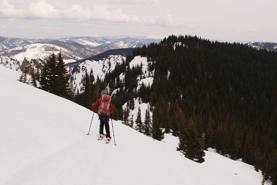
Although the snowmobile tracks are nice to follow on the ridge, the snow is supportive enough on this day to allow for easy travel. |
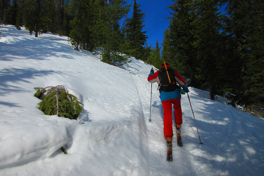 |
Sonny grinds his way up one of the steeper sections of the ridge. Photo courtesy of Zosia Zgolak |
 |
Zosia gets her first glimpse of Stevens Peak in the distance. |

Here is a closer look at Stevens Peak.
 |
The ridge narrows forcing Zosia to descend an uncomfortably steep slope. |
 |
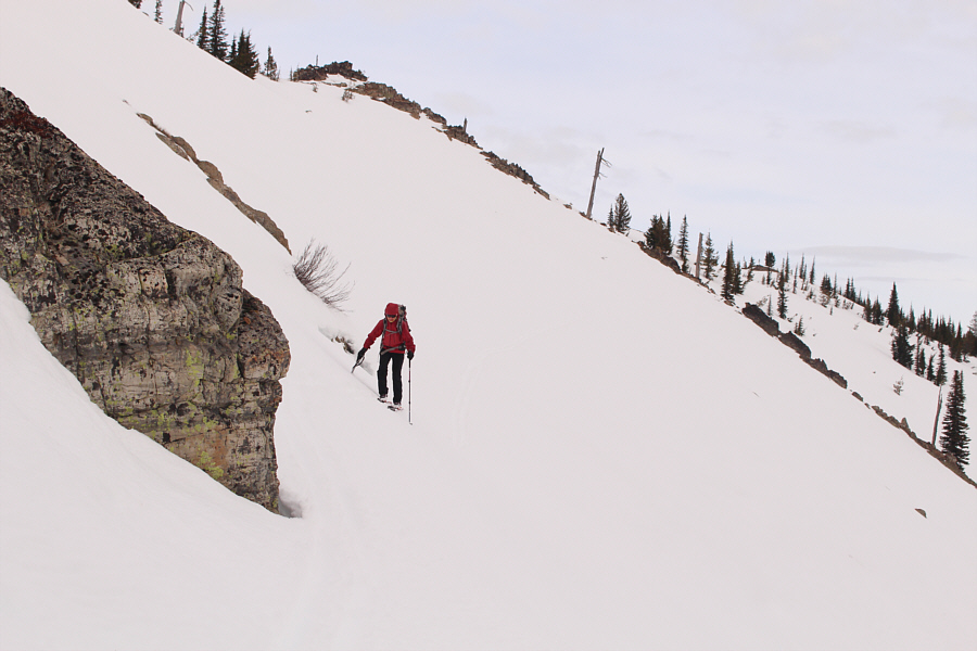
The slope that Sonny is descending is
steeper than it looks here. Photo courtesy of Zosia Zgolak |
 |
Zosia finds herself on safer ground after a harrowing descent off the ridge behind her. |
 |
Zosia continues up the slope looking for a weakness to gain the ridge. |
 |
Some skier down-tracks hold some promise for gaining the ridge, but the terrain is uncompromisingly steep. |
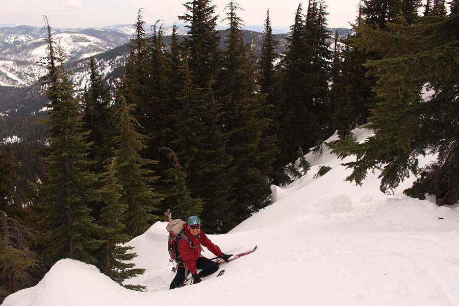 |
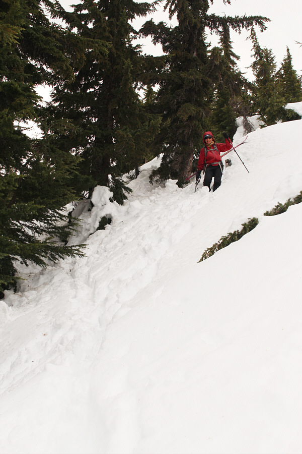
Zosia finds it easier to carry her skis and boot-pack up the slope to gain the ridge. |
 |
Here is a good look through the trees at the pinnacles that forced Sonny
and Zosia to abandon their approach along the ridge. Photo courtesy of Zosia Zgolak |
 |
A break in the trees along the east ridge grants this view of Stevens Peak's precipitous north face. Note the ski tracks below the face. |
 |
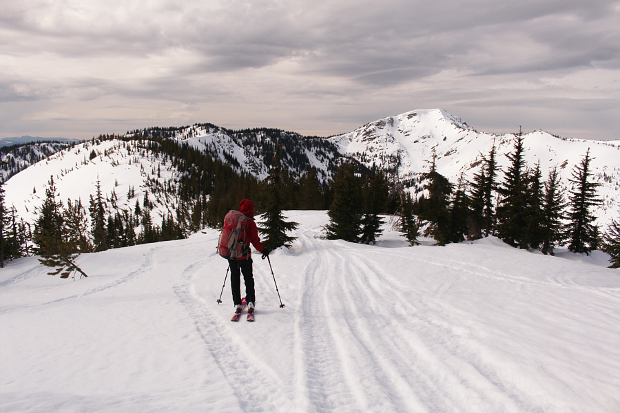
Zosia ascends the gentler south slopes of Stevens Peak. |
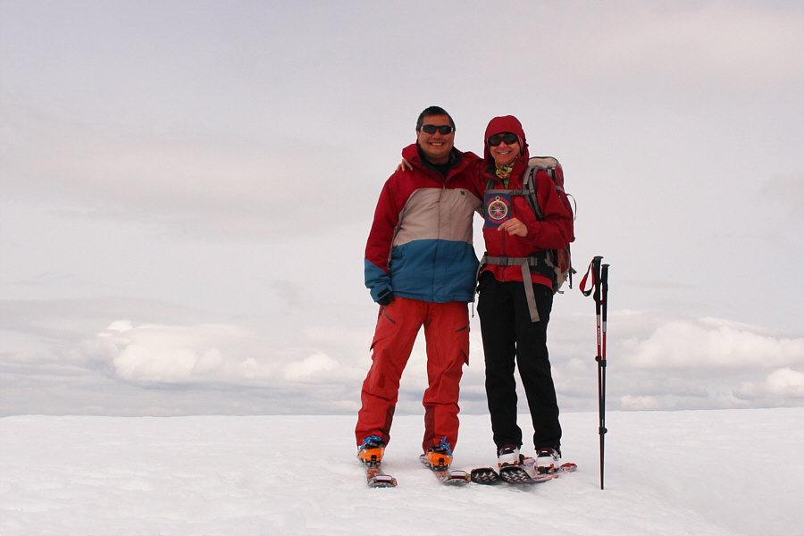 |
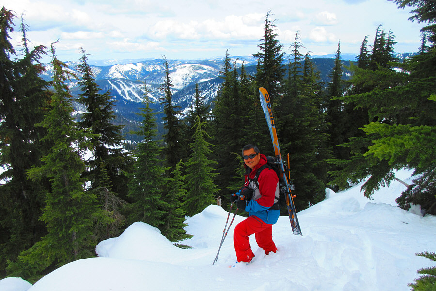
Sonny and Zosia reach the summit of Stevens Peak (2081 metres). |
The ski out St. Regis River valley was a bit of an
adventure. There were plenty of old tracks and flagging to follow out the
valley, but often, these were not the most pleasant routes to ski. Snow
conditions also deteriorated as we progressed, and it
generally seemed difficult to maintain any sort of momentum even though
we were going mostly downhill. I felt some relief when we finally left
the valley behind us and gained our up-track not far from the ski resort. By
the time we returned to the bottom of Timber Wolf chairlift though, the
ski resort had already closed killing any hopes we may have had in
catching a ride and skiing back down to the parking lot. Instead, we
settled into an easy but annoyingly long uphill shuffle along the railway
right-of-way to get back to my car.
We subsequently drove to Coeur d'Alene and stopped at a Denny's for
dinner to celebrate our accomplishment and Zosia's birthday. From there,
we continued driving for a few more hours to reach Kennewick,
Washington where we ultimately checked into a comfortable hotel for the
night.
 |
Zosia leaves the summit and starts the return journey. |
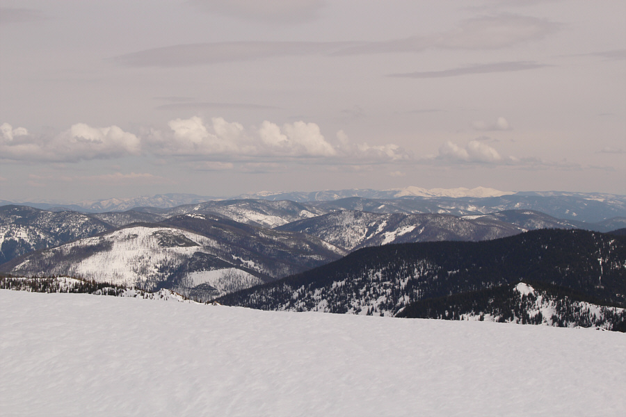 |
The patch of white on the right horizon is in the vicinity of Cherry Peak about 46 kilometres away to the east. |
 |
Zosia makes her way down the open slopes below the summit. |
 |
Zosia carefully descends to a dip in the east ridge. |
 |
Sonny is not too proud to hump his skis and walk down a slope that he
finds too steep to ski. Photo courtesy of Zosia Zgolak |
 |
Zosia plunge-steps down the steep slope below the ridge crest. |
 |
Back on more moderate terrain, Zosia resumes skiing through the trees. |
 |
At Upper Saint Regis Lake, Sonny spots a ramp that is probably the usual
access to Stevens Peak's east ridge. Photo courtesy of Zosia Zgolak |
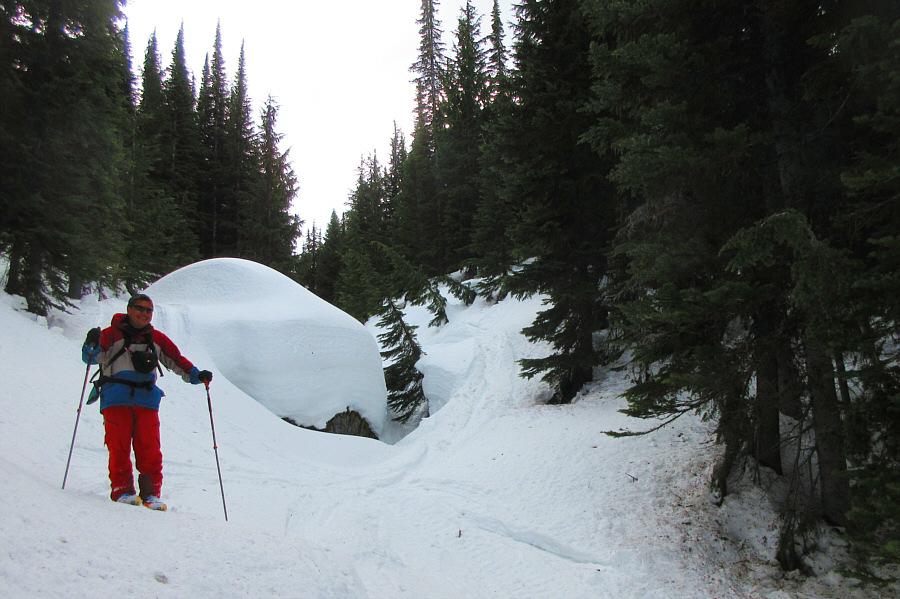 |
The ski out along Saint Regis River valley has a few tricky spots such as
this one; the hole between the rock and the tree is alarmingly deep. Photo courtesy of Zosia Zgolak |
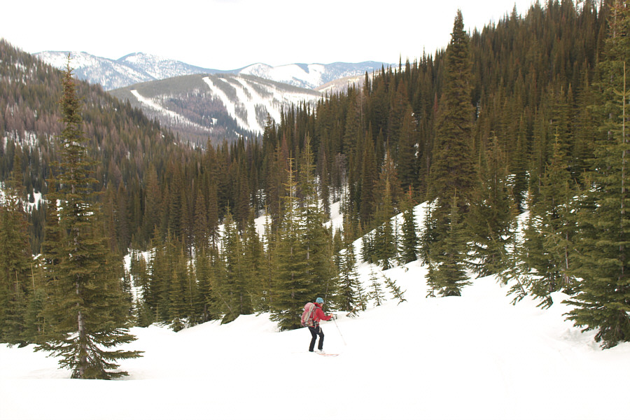 |
With part of the ski resort visible in the distance, Zosia continues to muddle along Saint Regis River valley. |
 |
Zosia finishes the trip with a very gradual ascent of the old railway right-of-way. |
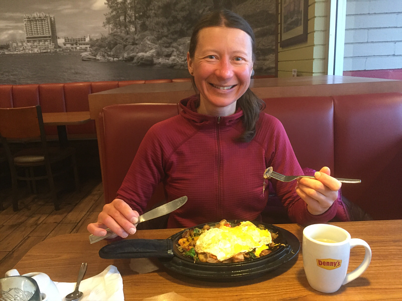 |
Zosia enjoys a free birthday dinner at Denny's in Coeur d'Alene. |
 |
Total
Distance: 19.8 kilometres Round-Trip Time: 10 hours 9 minutes Cumulative Elevation Gain: 1067 metres |