|
|
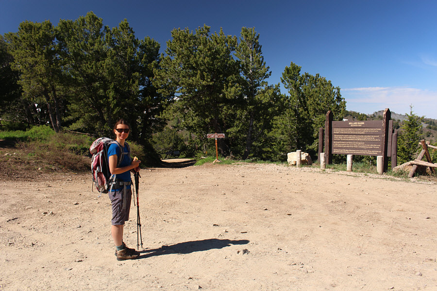
Zosia begins the trip from a large parking area on a ridge crest. Behind her, the road to Willard Basin is closed to motorized vehicles on this day. |
|
|
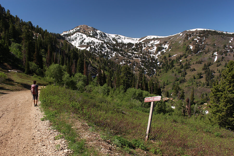
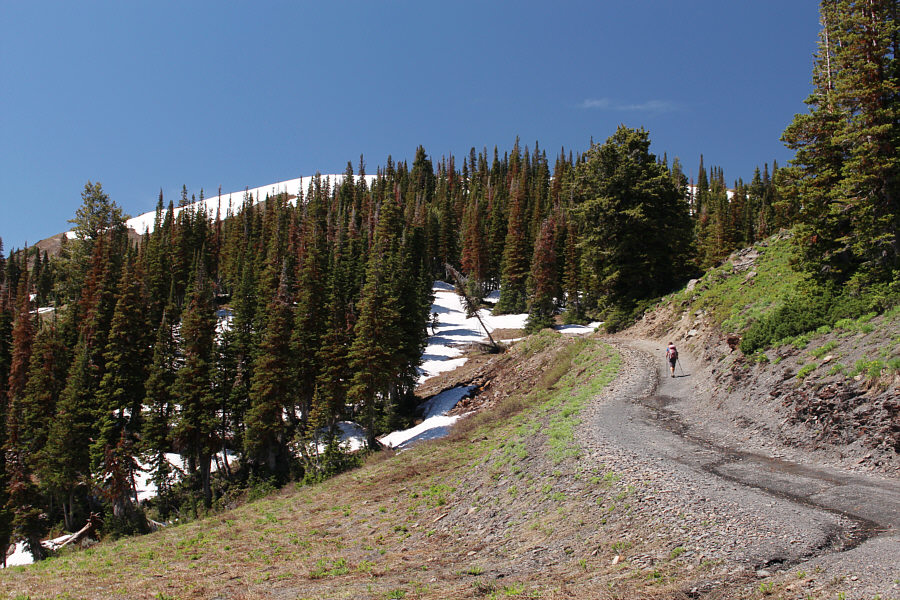
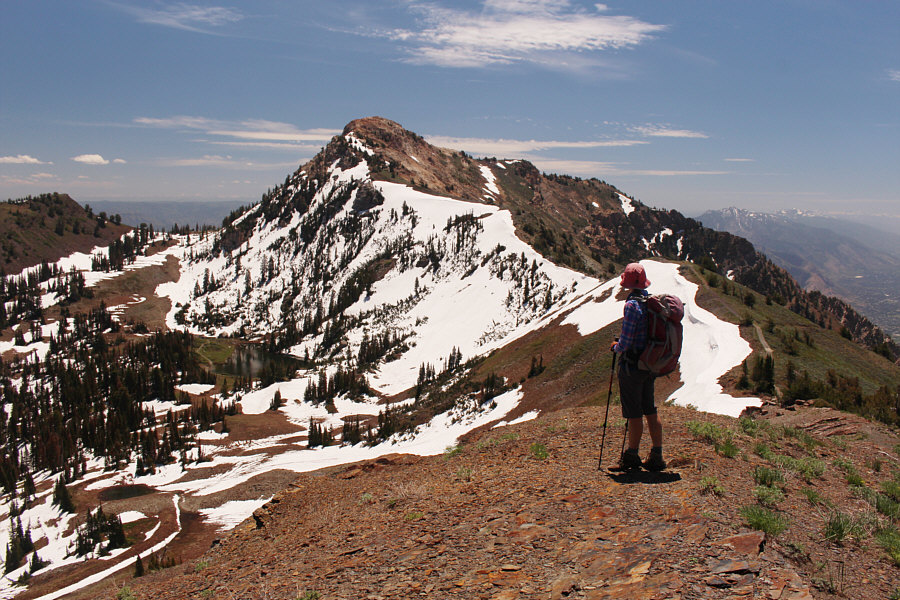
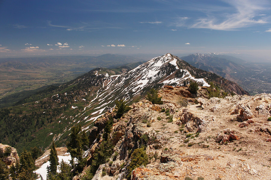
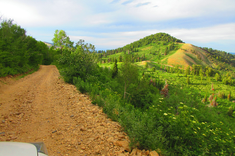
The road can be seen winding around the head of Willard Basin to the slopes below Willard Mountain (far right). Willard Peak is visible at left. |
|
|
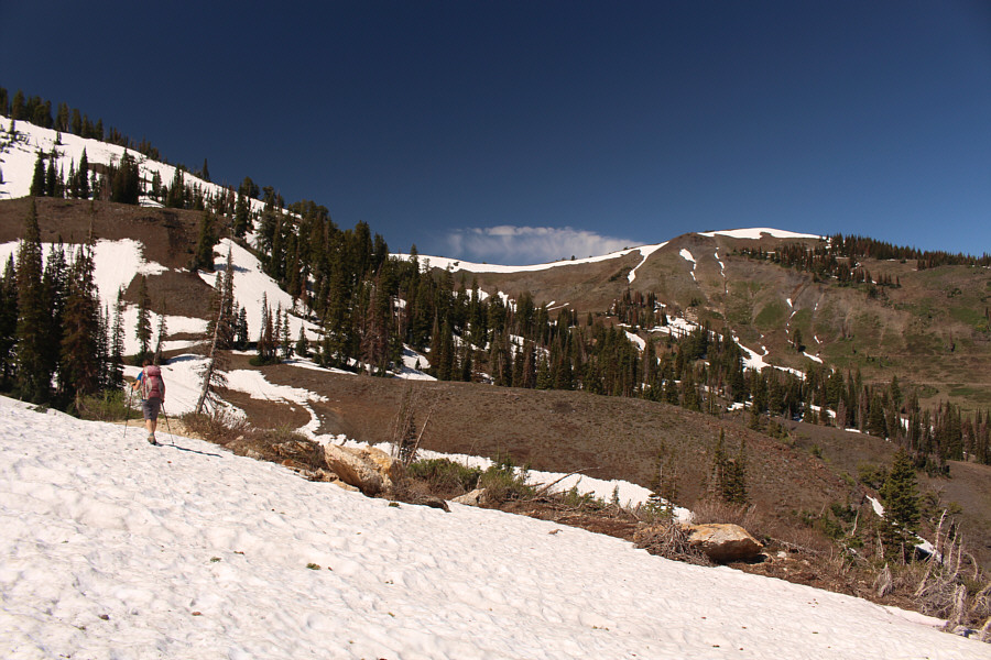
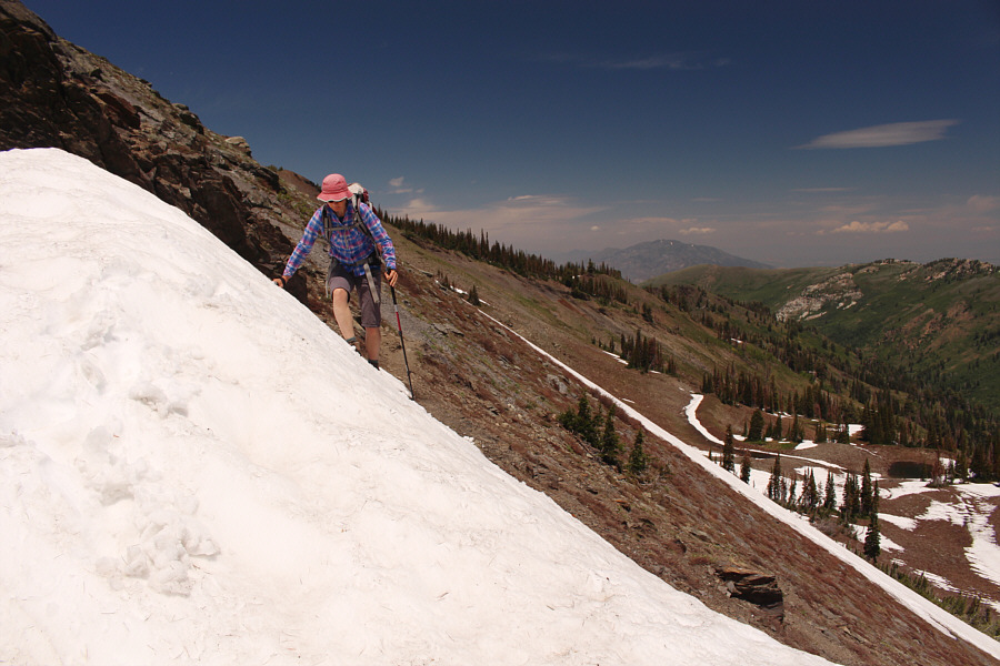
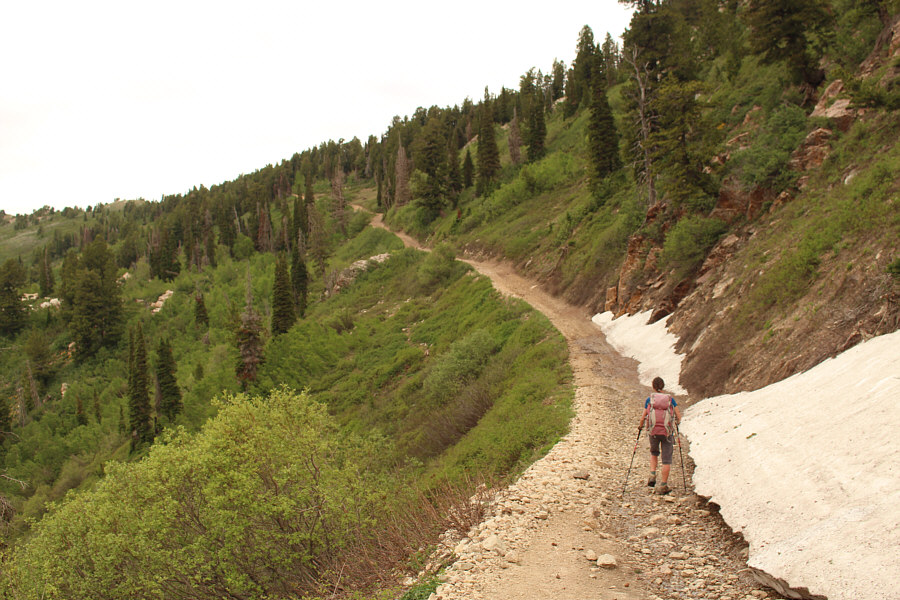
Zosia crosses one of several lingering snow patches still covering the road at the head of the basin. |
|
|
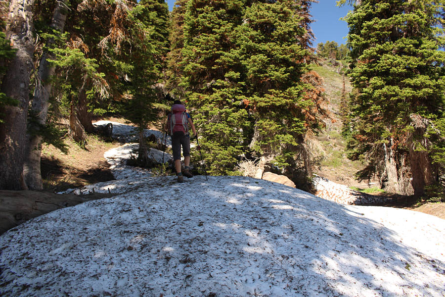
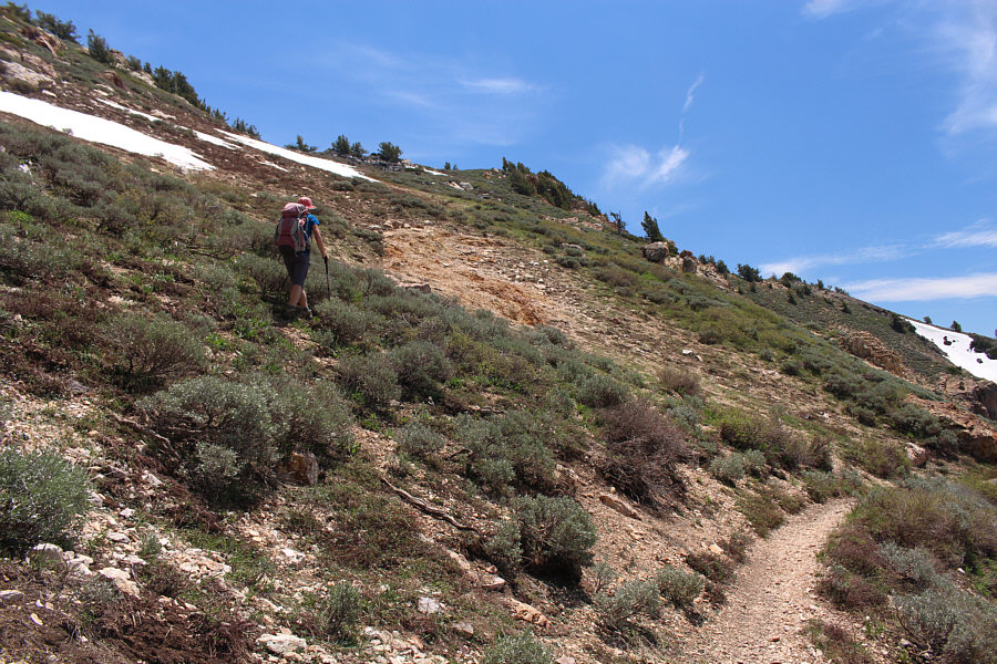
On her way up Willard Mountain, Zosia leaves the road here to take a short cut up the hillside. |
|
|
Zosia regains the road going up Willard Mountain. |
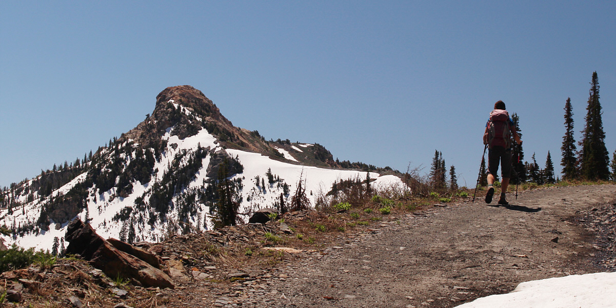
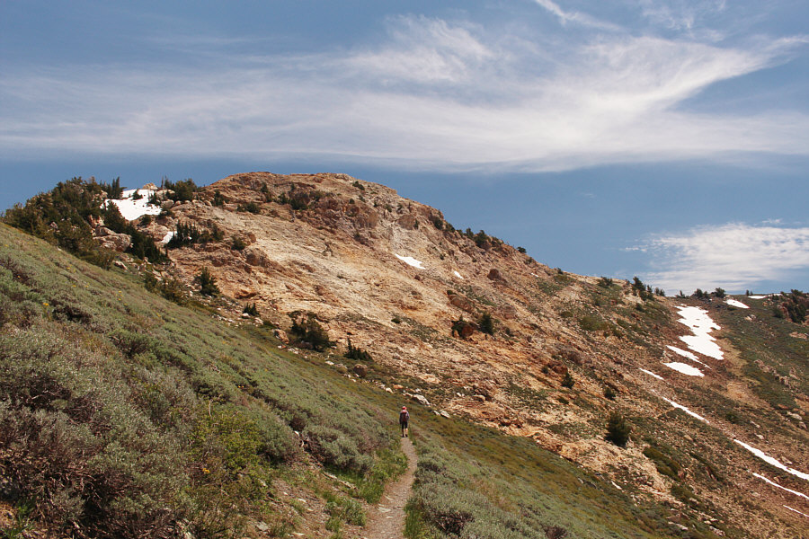
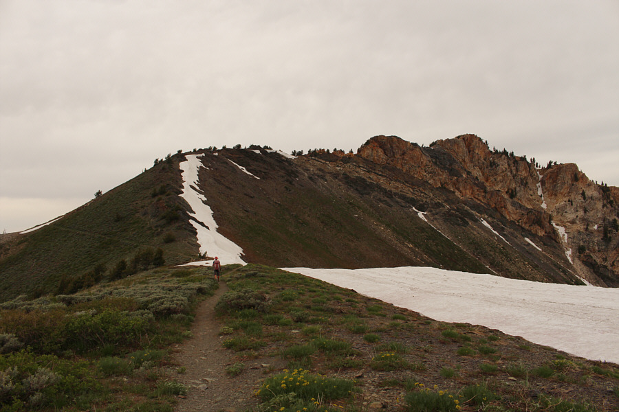
While hiking up the road to Willard Mountain, Zosia gets a great view of Willard Peak in the distance.
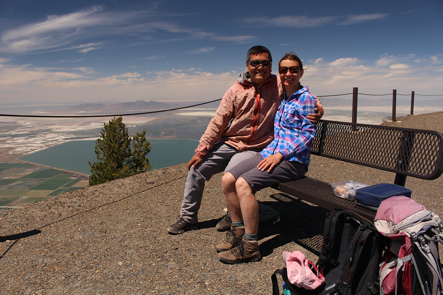 |
Sonny and Zosia enjoy the convenience of a bench on the summit of Willard Mountain (2863 metres). This spot is also known by locals as "Inspiration Point". |
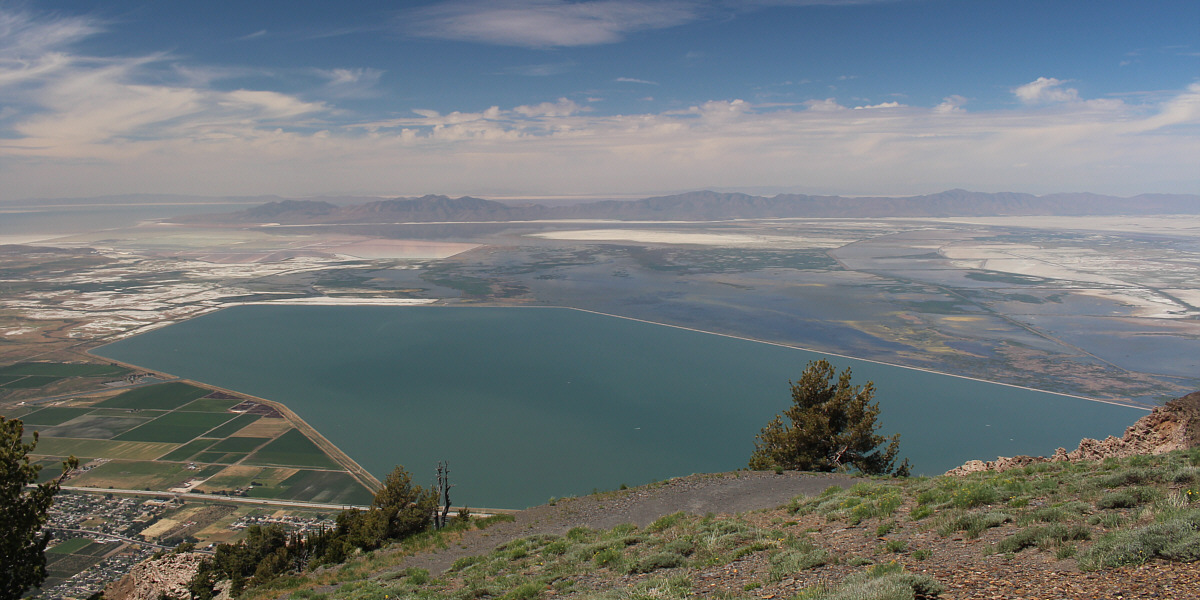
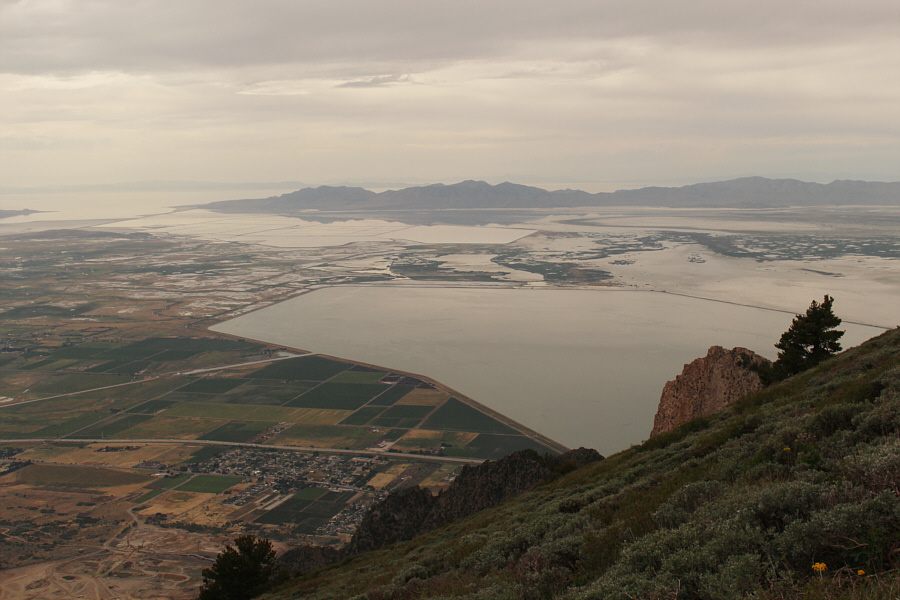
Willard Bay is a man-made fresh water reservoir which is kept separate from the Great Salt Lake (distant far left) by a long dike known as Arthur V. Watkins Dam.
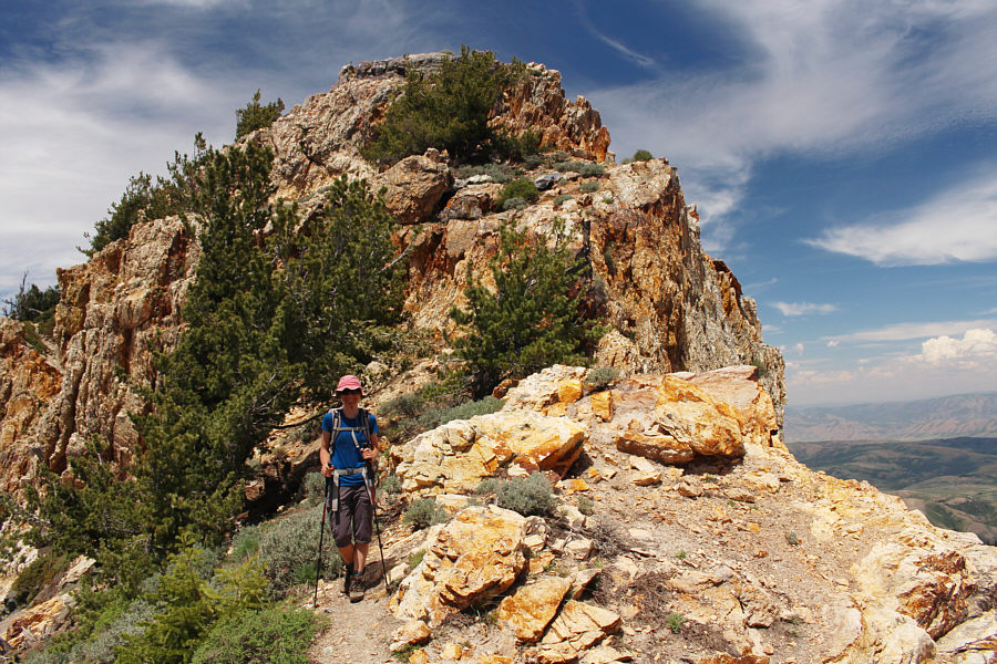
Zosia and I took a short break at the summit of Willard Mountain before carrying on southward along the connecting ridge to Willard Peak. We soon gained the trail coming up from Willard Basin and followed it across the lower west face of Willard Peak. Leaving the trail here, we climbed up a moderately steep slope to reach the crest of Willard Peak's south ridge. From there, we easily scrambled to the rocky top.
 |
Zosia heads for Willard Peak along the connecting ridge from Willard Mountain. |
 |
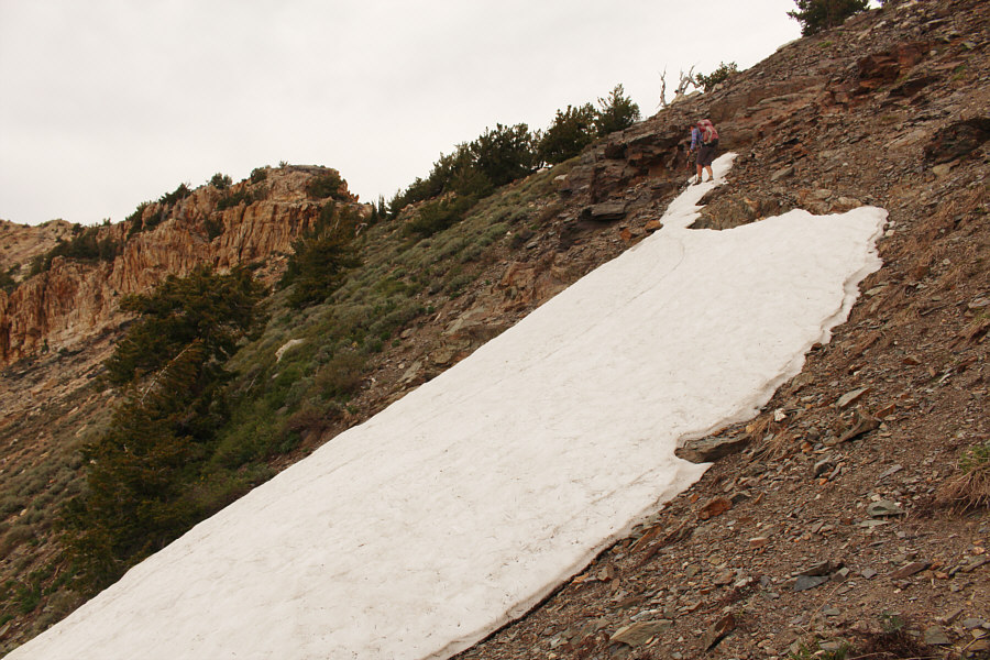
Zosia carefully traverses a lingering snow patch on the ridge. This would be her point of descent into the basin later in the day on the hike out. |
 |
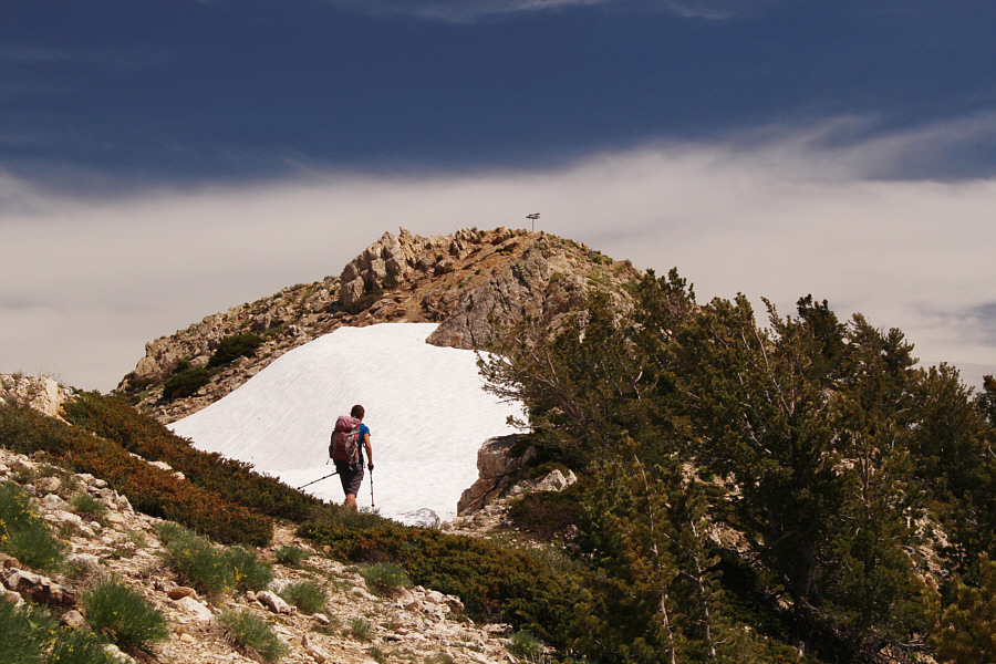
Zosia hikes below the west face of Willard Peak. She would eventually climb up to the ridge near snow patches at far right. |
 |
Zosia leaves the trail to climb up to the ridge crest. |
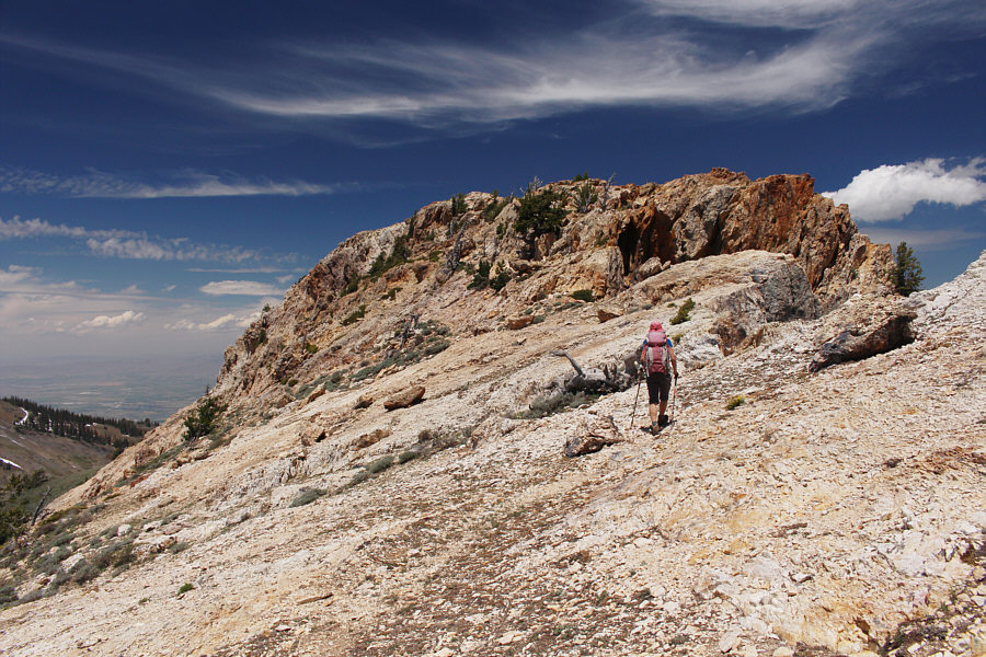 |
After gaining the ridge crest, Zosia turns north to head for the top of Willard Peak. |
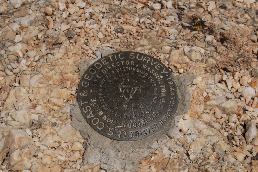 |
Here is the survey marker near the top of Willard Peak. |
 |
Zosia and Sonny stand near the summit of Willard Peak (2967 metres). |
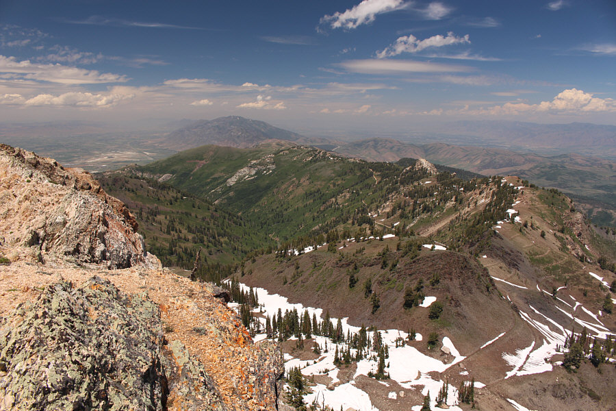 |
This is the view to the north of Willard Basin from the top of Willard Peak. The mountain on the left horizon is Box Elder Peak. |
 |
Ben Lomond steals the show to the south. |
 |
Some route-finding and scrambling is required to descend the south end of Willard Peak's summit block. |
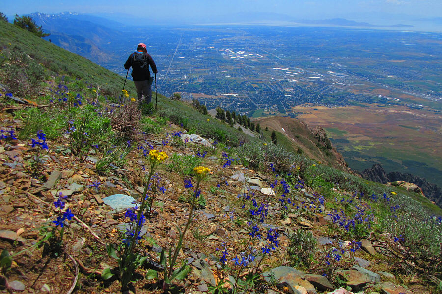 |
While traversing the south end of Willard Peak, Sonny finds a good game
trail running across the slope of wildflowers. The city of Ogden is
visible in the valley below. Photo courtesy of Zosia Zgolak |
 |
Zosia regains the established trail that runs all the way to the top of Ben Lomond. |
 |
Zosia approaches the summit of Ben Lomond. |
Sonny and Zosia reach the summit of Ben Lomond (2953 metres).
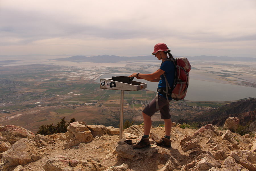 |
There used to be a lid with a commemorative plaque on the fixed tray, but it has sadly disappeared. The summit register is now housed inside an ammunition box. |
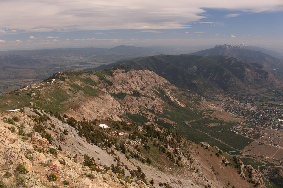 |
From the top of Ben Lomond, Mount Ogden can be seen further south at far right while Pineview Reservoir is visible at left. |
 |
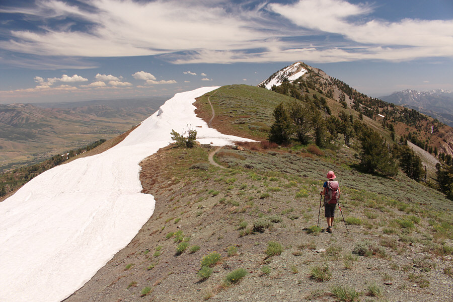
Zosia hikes back toward Willard Peak (right). The game trail that Sonny found earlier runs higher up the slope than the visible trail heading left. |
 |
Zosia climbs higher to circumvent a dangerously steep snow patch blocking the trail. |
 |
Here is a last look at Willard Bay under an overcast sky. |
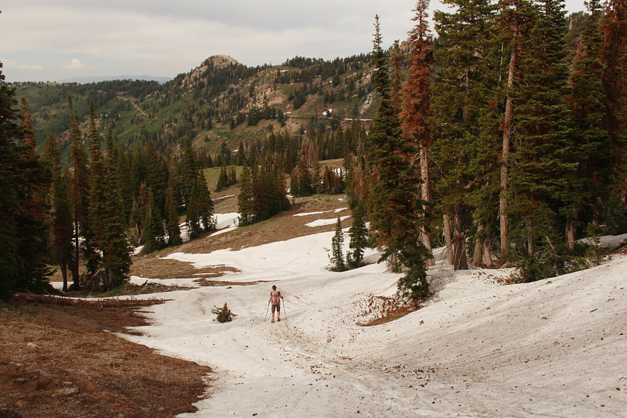 |
Zosia boot-skis down a patch of snow after taking a short cut into Willard Basin. |
 |
Near the end of the trip, Zosia climbs up the road to get back to the parking area on the ridge crest. |
 |
The drive out on the rough road feels just as long as the drive in. Photo courtesy of Zosia Zgolak |
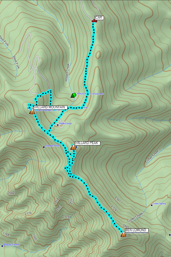 |
Total
Distance: 17.0 kilometres Round-Trip Time: 8 hours Cumulative Elevation Gain: 839 metres |