Photo courtesy of Zosia Zgolak
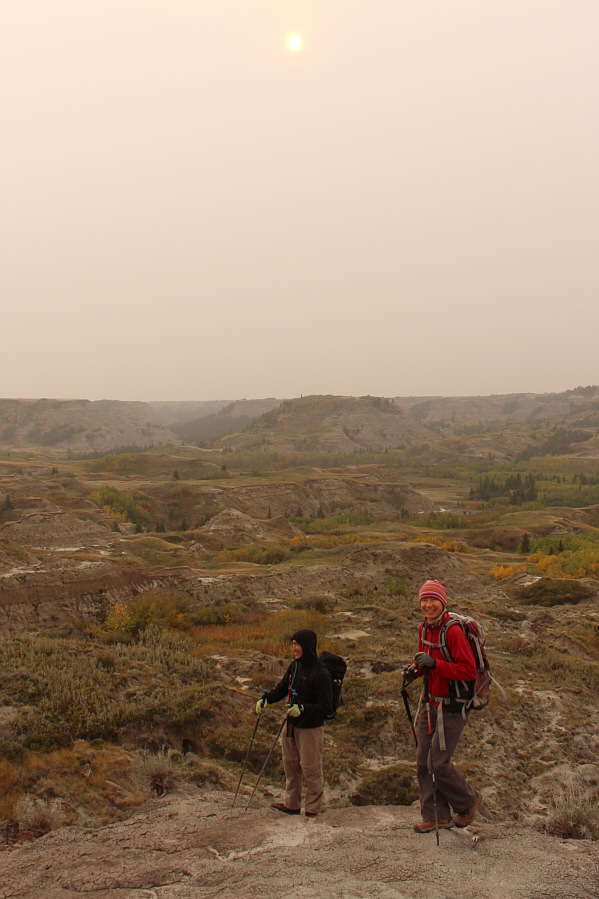
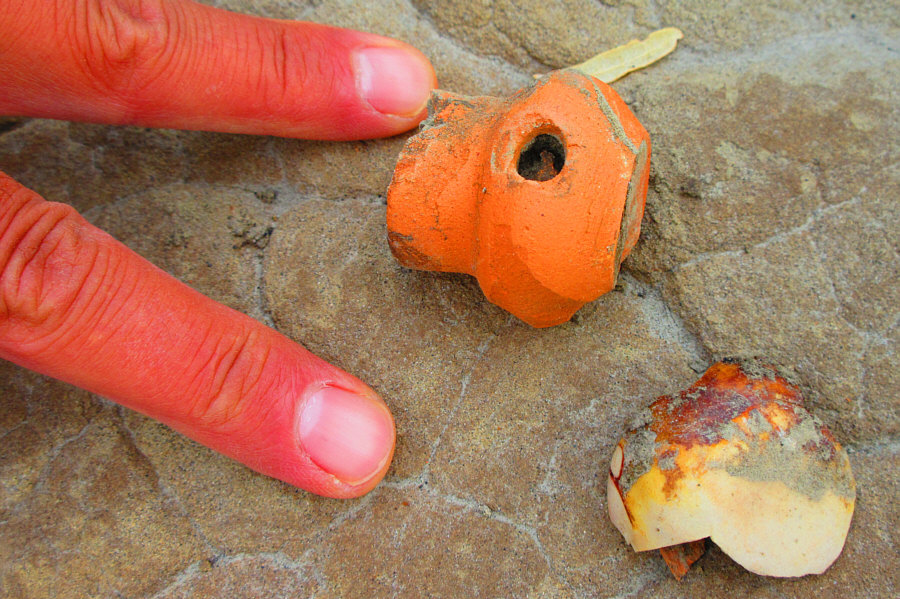
Photo courtesy of Zosia Zgolak
|
|
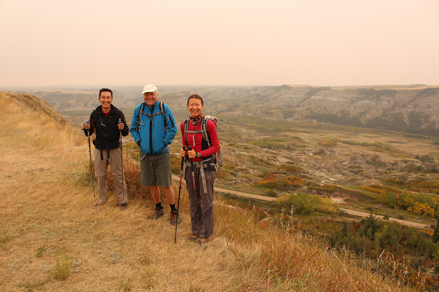
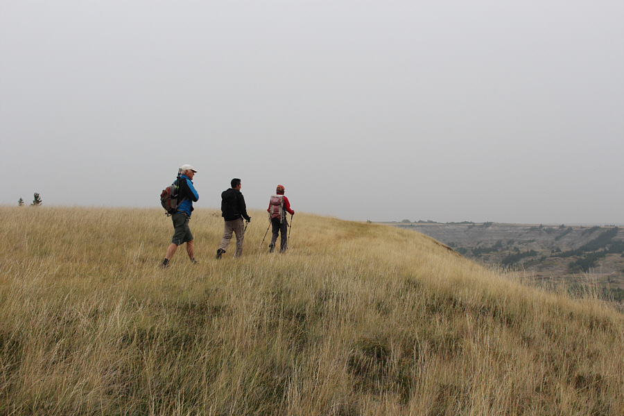
With the road to the day use area closed on this day due to washouts, Shaun, Wil and Zosia prepare to descend into the valley on foot. |
|
|
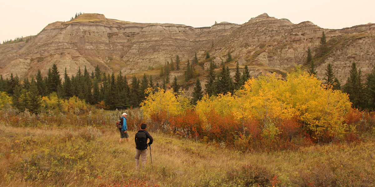
At left is the grassy plateau--a dry island--for which the park is named. |
|
|
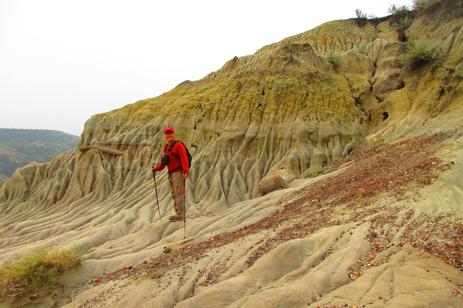
Sonny is thrilled to already see some eroded sandstone features which are
typical of the area. Photo courtesy of Zosia Zgolak
|
|
|
As Shaun and Zosia make their way down into the valley, the sun tries to break through the smoky sky. |
|
|
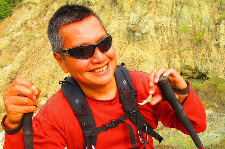
Sonny finds what appears to be an old piece of pottery which was
partially buried. Photo courtesy of Zosia Zgolak |
|
|
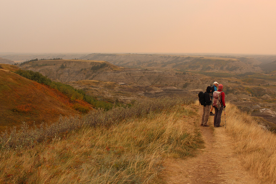
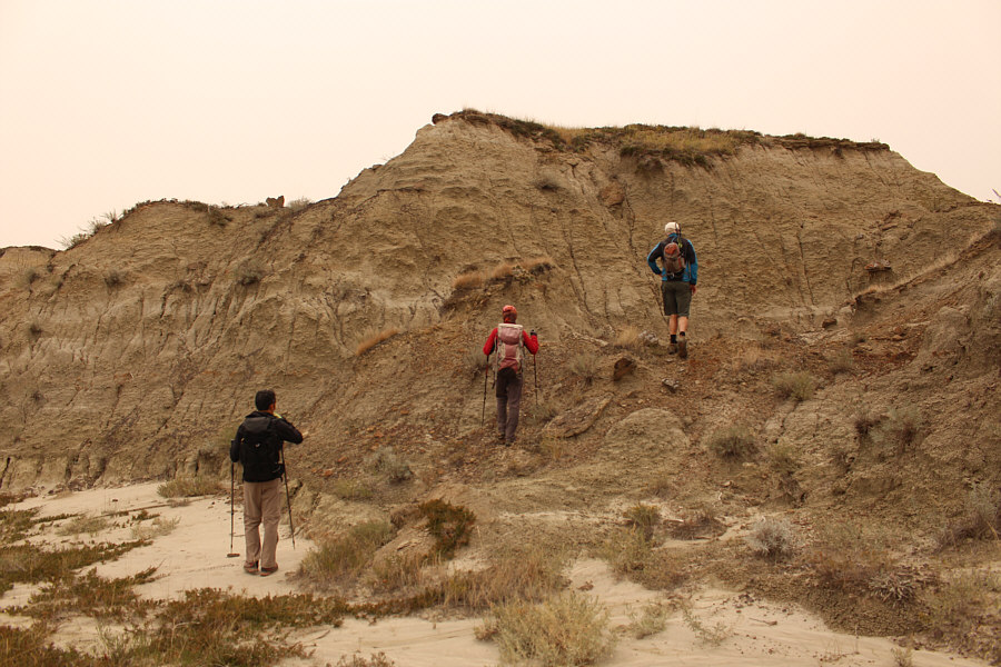
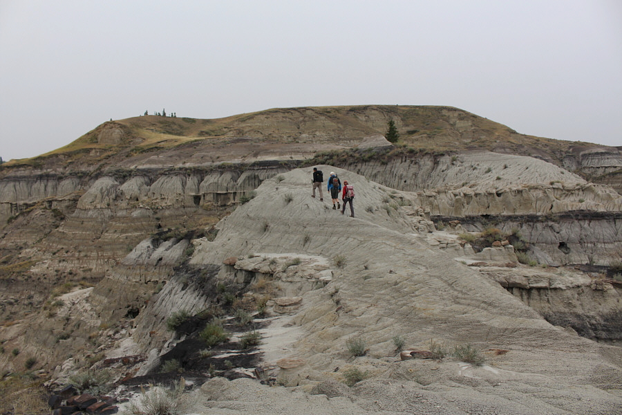
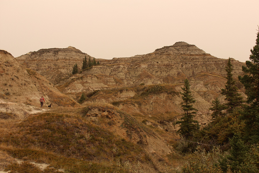
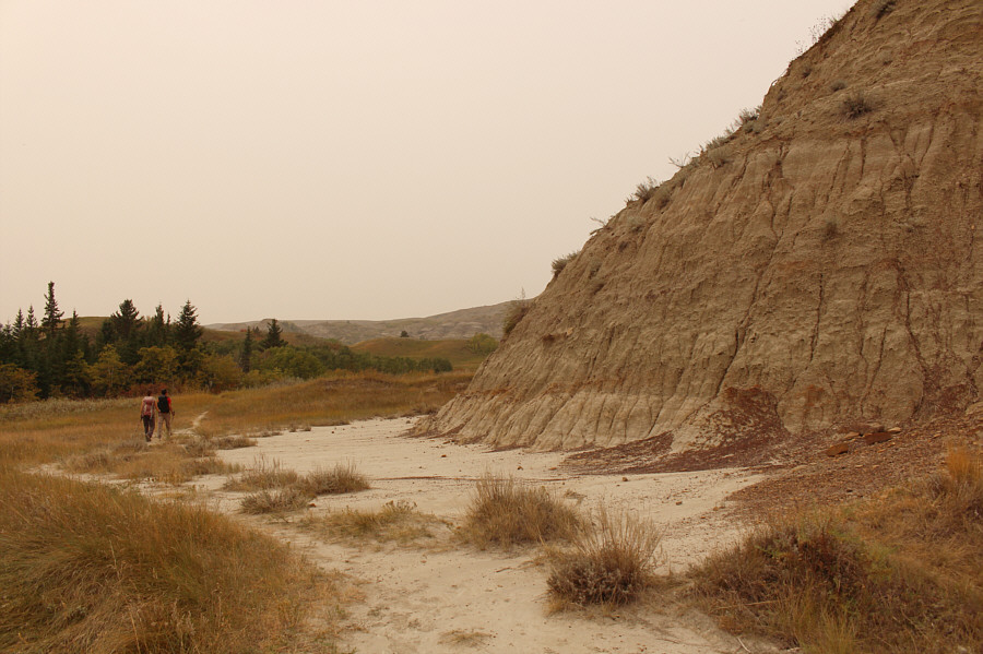
The distinctive terrain presents some navigational challenges. |
Wil and Shaun try to figure out the best way to get up onto the grassy plateau ahead.
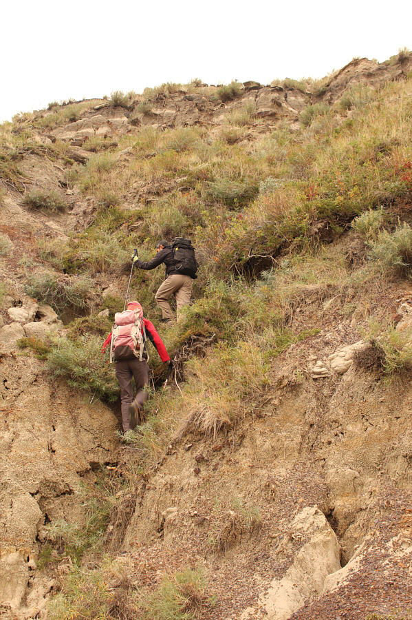 |
Shaun and Zosia scramble up a scrubby gully. |
 |
Shaun and Zosia surmount a knoll en route to the grassy plateau. |
 |
Shaun, Wil and Zosia can see their way clear to the grassy plateau. |
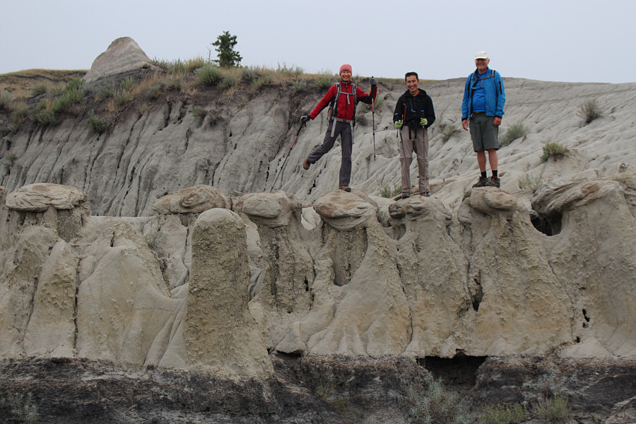 |
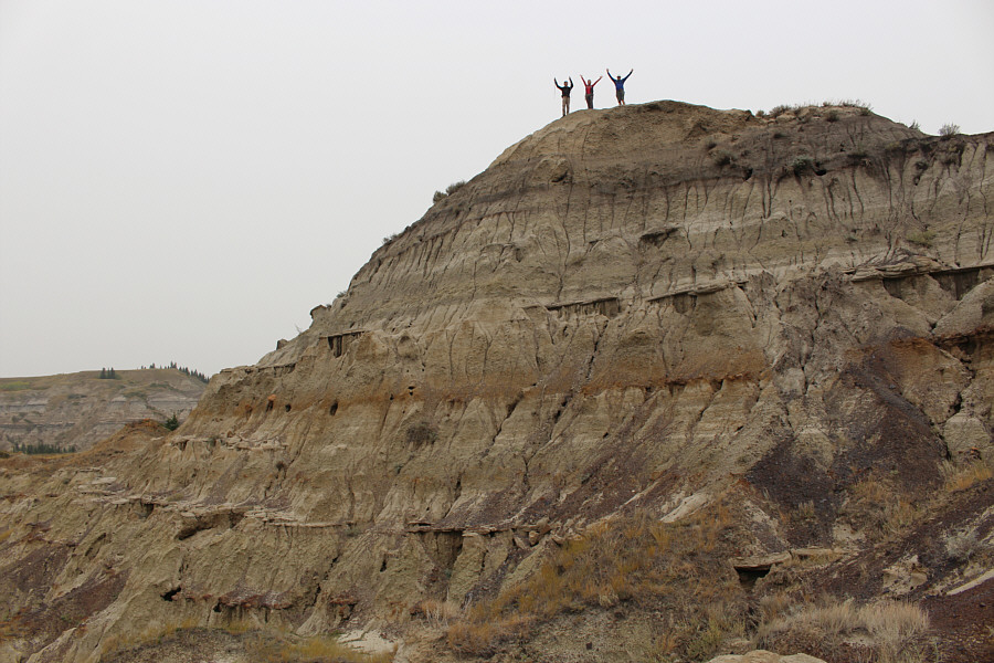
Zosia, Shaun and Wil stand atop some interesting hoodoos. |
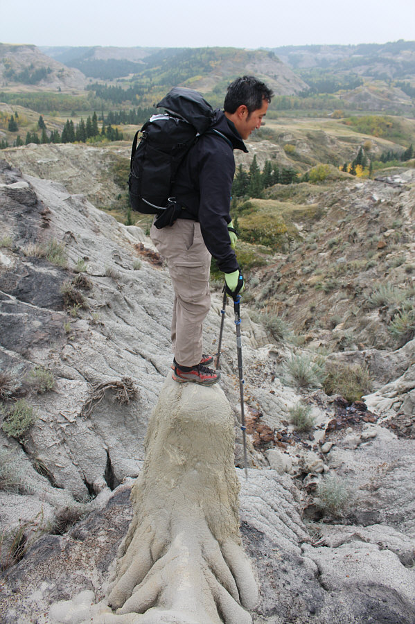 |
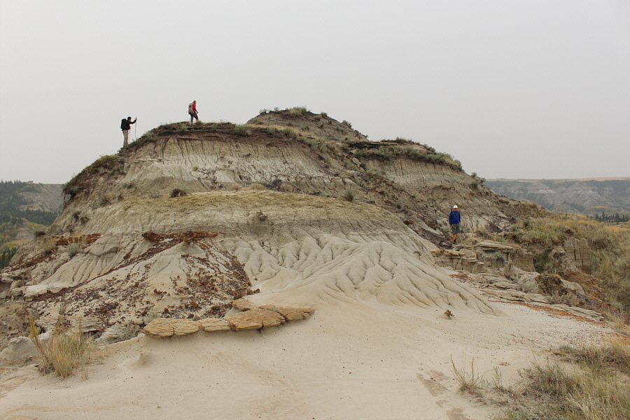
Shaun balances on a very tricky hoodoo to get up. |
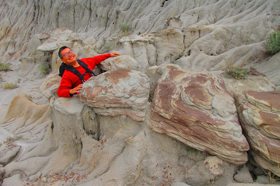 |
Sonny enjoys a "soak" in a bathtub-sized hole amidst the hoodoos. Photo courtesy of Zosia Zgolak |
 |
Wil, Shaun and Zosia hike on top of the grassy plateau. |
 |
Descending from the grassy plateau, the group faces some route-finding challenges to get to the two knobs (left of centre) in the distance. |
 |
Zosia and Shaun work their way closer to the two knobs. |
 |
Shaun, Zosia and Wil stand atop the lower of the two knobs (792 metres). |
 |
The group makes their way up the higher knob. |
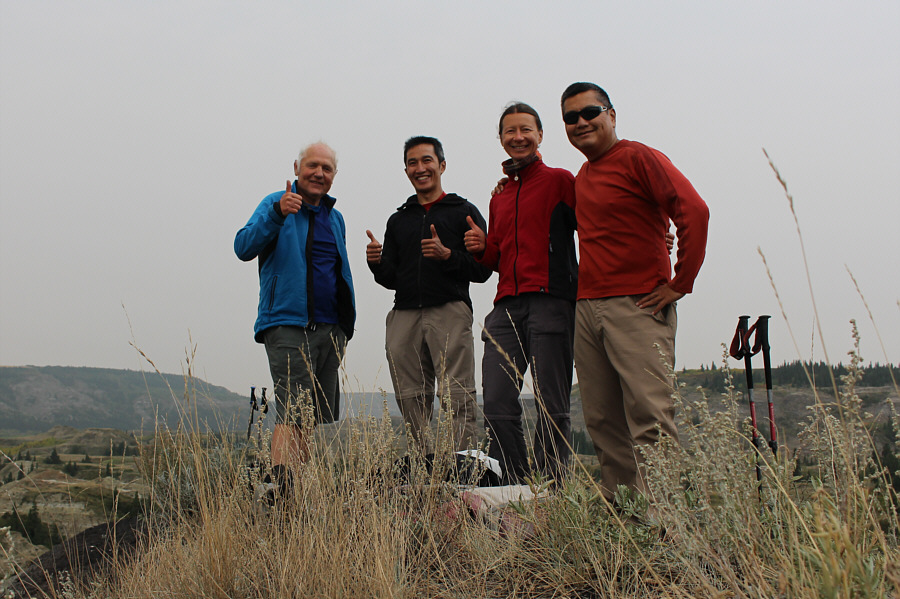 |
Wil, Shaun, Zosia and Sonny stand atop the higher knob (793 metres). |
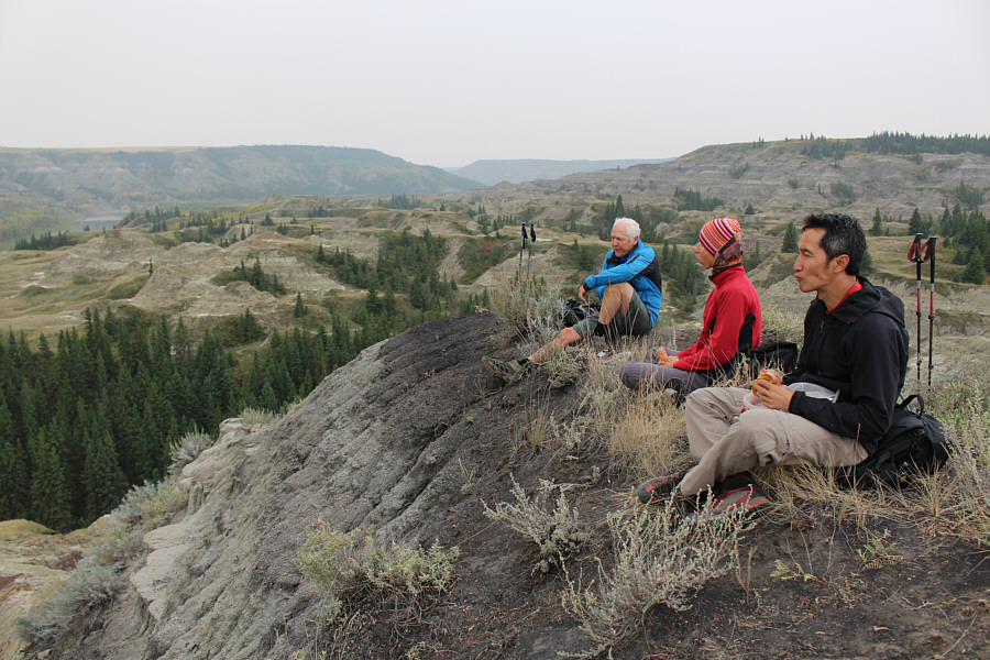 |
Wil, Zosia and Shaun take a well-deserved break on the higher knob. Red Deer River is visible at far left. |
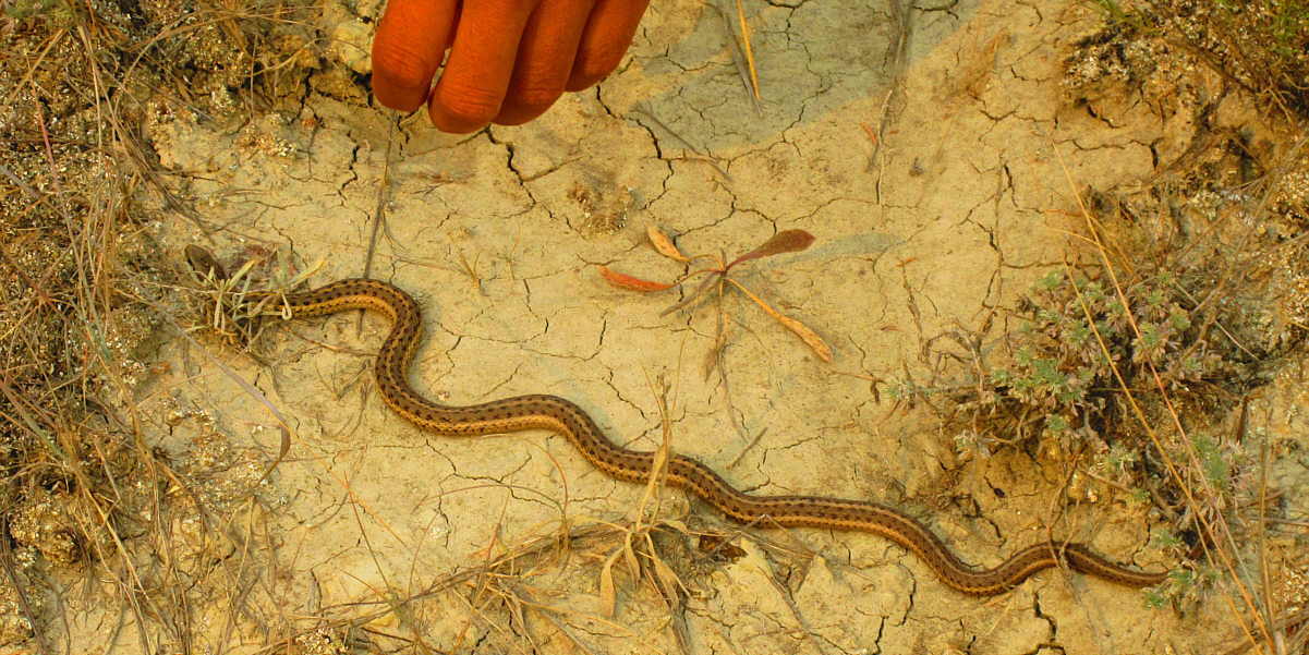
Sonny tries unsuccessfully to pick up a small snake.
Photo courtesy of Zosia Zgolak
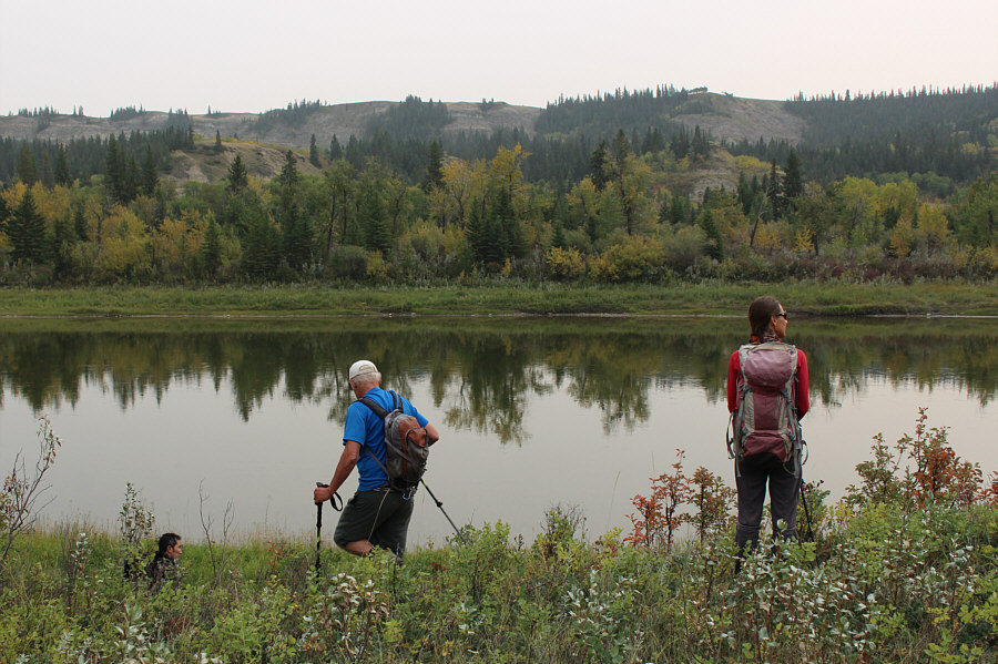 |
Shaun, Wil and Zosia descend to the shores of Red Deer River looking for an easier route back to their starting point. Unfortunately, they would be forced to head back into the maze of the badlands. |
 |
Sonny picks up the lower jaw bone of some rodent. Photo courtesy of Zosia Zgolak |
 |
Shaun and Zosia find a trail which leads easily back to the road near the day use area. |
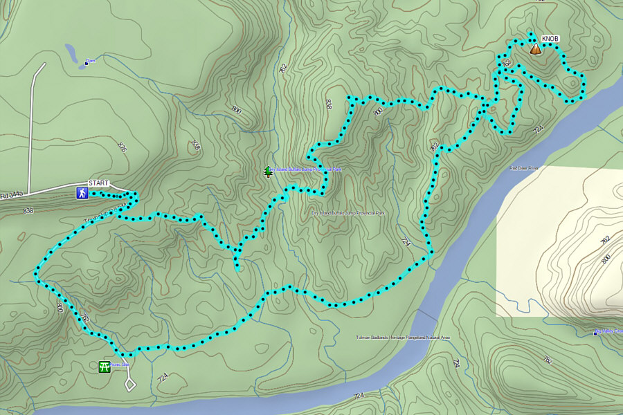 |
Total
Distance: 11.6 kilometres Round-Trip Time: 6 hours 9 minutes Cumulative Elevation Gain: 553 metres |