
|
|
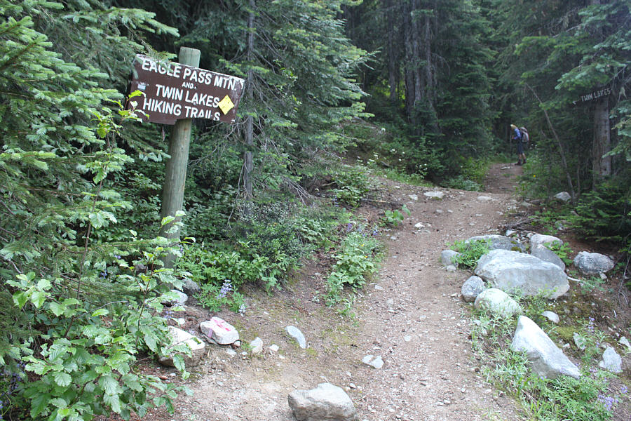
Zosia begins hiking along the trail to Eagle Pass Mountain. An outhouse is hidden in the trees behind the trailhead sign on the left. |
|
|
The trail mostly climbs through forest initially, but it occasionally crosses an avalanche slope such as this one. |
|
|
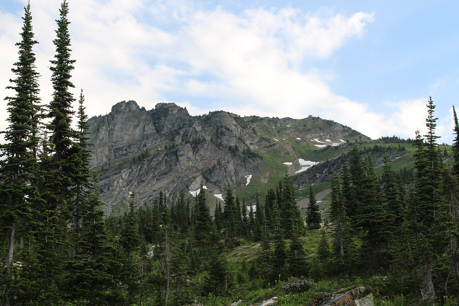
At a clearing near tree line, the lookout building is visible atop the summit (right). |
|
|
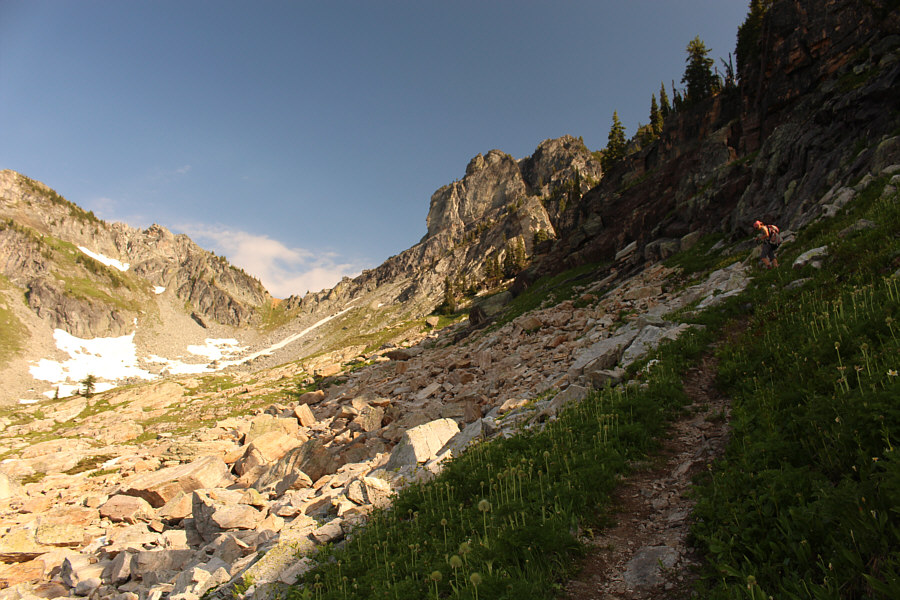
The trail crosses and then ascends the east side of a broad basin. |
|
|
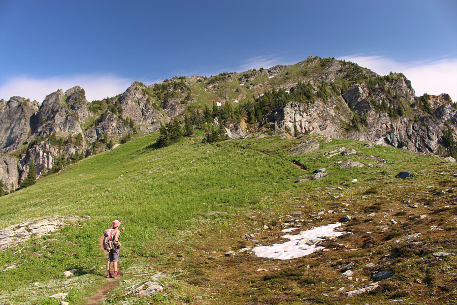
The trail continues up the steep ridge below the summit. |
|
|
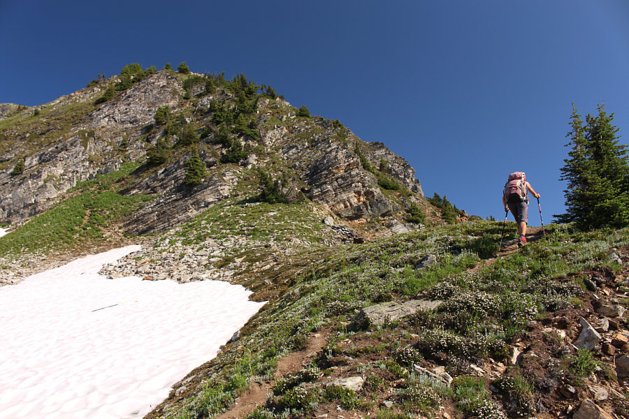
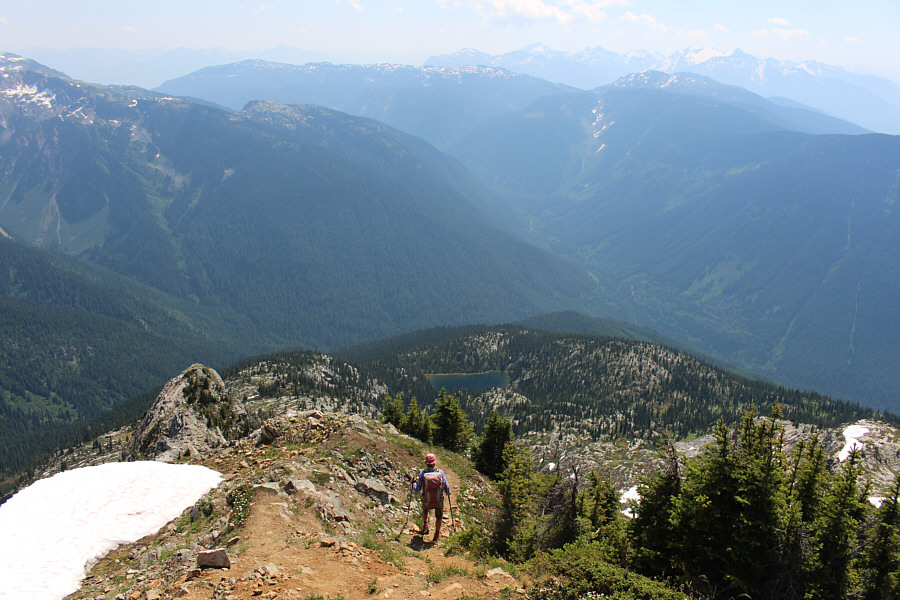
Zosia ascends the remainder of the ridge before the summit. |
|
|
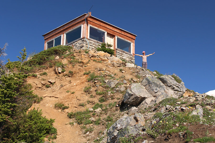
Zosia arrives at the lookout building on top of Eagle Pass Mountain. A bunk bed is inside the building, but it is also possible to pitch a tent on the roof. |
|
|
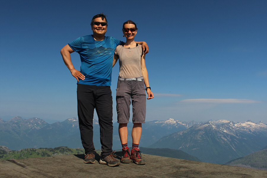
Sonny and Zosia stand on the roof of the lookout building on the summit of Eagle Pass Mountain (2348 metres). |
|
|
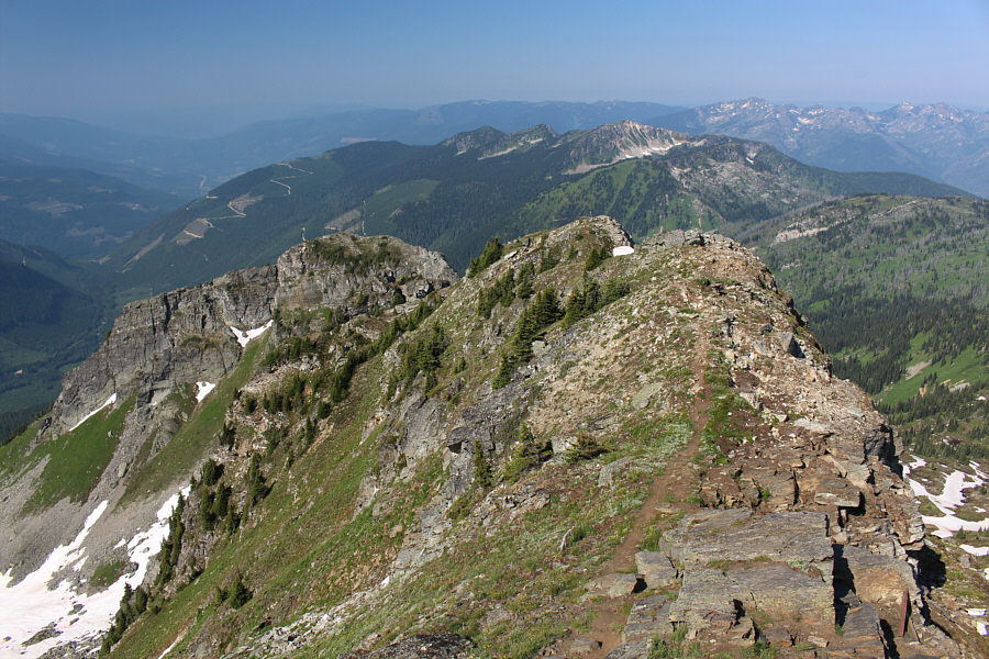
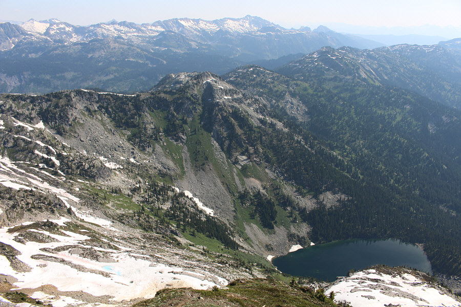
This is the view along the west ridge of Eagle Pass Mountain. |
The snowy Monashee Mountains stretch across the northern horizon.
 |
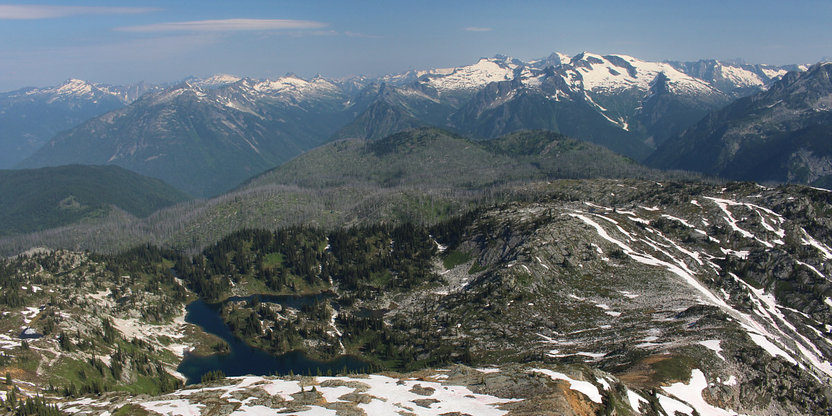
The ridges to the east invite further exploration. On the centre horizon is Mount Copeland. |
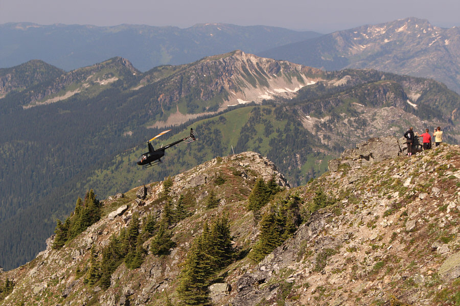 |
Some hikers watch as a helicopter takes off from the ridge west of the summit. |
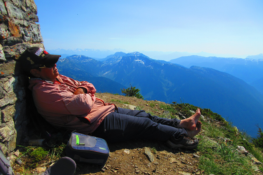 |
Sonny kicks back for a quick snooze on the summit. Photo courtesy of Zosia Zgolak |
 |
Zosia begins the steep descent off the summit. |
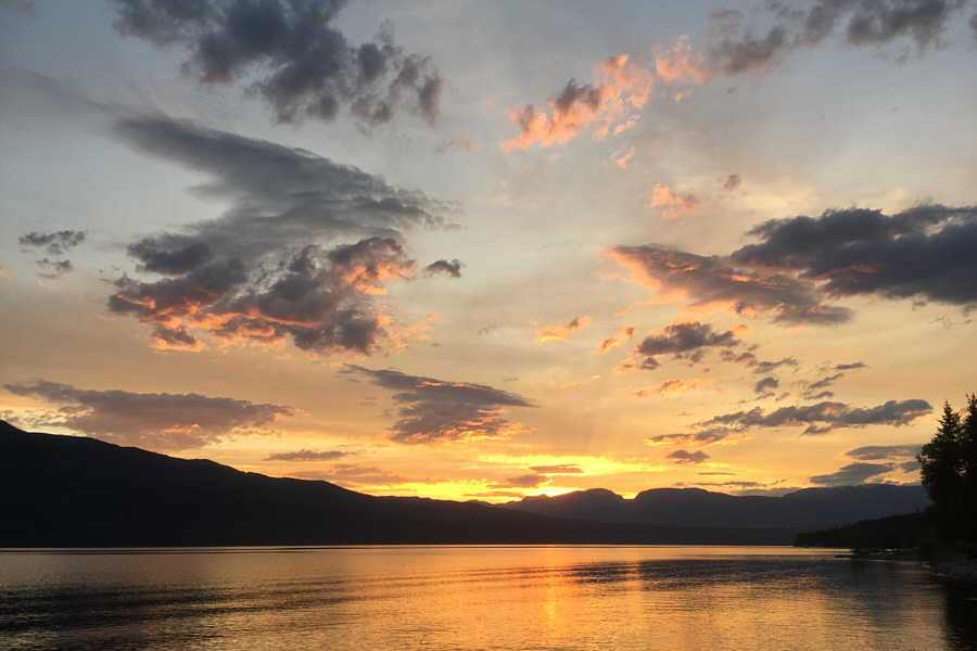 |
The sun sets across Upper Arrow Lake. |
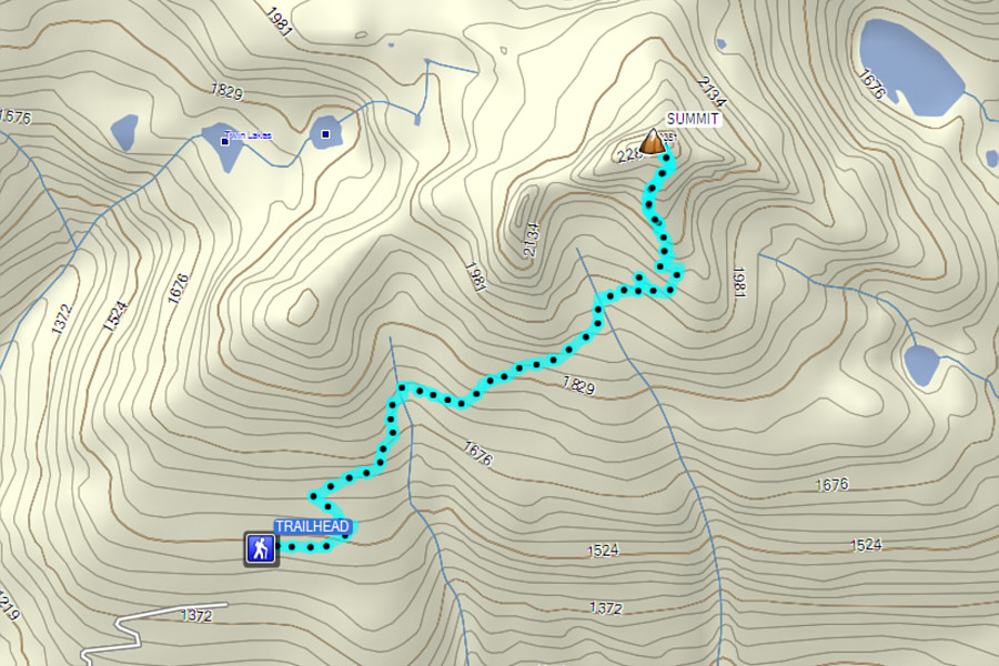 |
Total
Distance: ~8.0 kilometres Round-Trip Time: 6 hours 39 minutes Net Elevation Gain: 846 metres |