BOU AVENUE
Grande Mountain
Kicking off our post-Christmas road trip,
Zosia Zgolak and I originally had intentions of climbing Mount Hamell
near Grande Cache, Alberta on 28 December 2020. To make a
long-winded story short, I had the misfortune of getting my car's rear
axle stuck on an immovable rock while trying to park somewhere along the
access road for Mount Hamell. It took an exasperating two hours to
finally free my car (by jacking up the rear axle and placing rocks under
the nearest wheel), but by then, we were both in no shape to undertake a
lengthy ascent. As such, we retreated to our hotel in Grande Cache
to change out of our sodden clothes and warm up. When we felt
suitably refreshed, Zosia and I headed out again late in the morning to
try our Plan B--a supposedly straightforward hike up Grande Mountain
which sits just north of the town. A route description can be found
in the Grande Cache & Area Hiking & Adventure Map brochure which is
available at the town's information centre or
online.From the
intersection with Shand Avenue in Grande Cache, drive north on Highway 40
for 920 metres and turn right onto a side road. In 60 metres, keep
left and drive another 140 metres to a pullout in front of the town's
cemetery. Park here.
From the cemetery, Zosia and I walked
westward along a road which runs parallel to the highway. The
trailhead sign is roughly 140 metres west of the cemetery, and we turned
north here to begin hiking on a snow-covered track which follows a power
line climbing up the mountain. Initially, the track was quite easy
to hike as we followed numerous old footprints in the crusty snow.
As we climbed higher, the snow became deeper, and signs of previous
passage slowly dwindled until we were essentially breaking trail on our
own. The post-holing was perhaps not the worst we have ever done,
but it was still wearisome nonetheless. Had we brought them along,
snowshoes might have helped a bit, but our upward progress likely still
would have been slow. About two-thirds of the way up the mountain,
there is a significant dip which requires losing about 70 metres of
elevation. This drop can be quite disheartening especially in
conjunction with post-holing through deep snow, but in retrospect, the
elevation loss and regain is not as bad as it looks. Determined to
bag the summit, we put our noses to the grindstone here and churned our
way through deep snow down into the dip and up the other side. As
we approached the mountain top, travel became easier again as we trudged
on windswept snow or bare ground. The vast plateau at the top made
it difficult to discern the exact location of the true summit, and short
on time, we simply picked a suitable spot to snap our requisite summit
photo.
Chilled by a brutally cold wind, Zosia
and I did not linger on the summit for long before retreating the way we
came. Our egress was considerably easier since we now had a broken
trail to follow through the deep snow. Traversing the big dip was
annoying but not nearly as painful as I had been anticipating. The
rest of the descent was long and somewhat tedious, but we had no serious
problems even when darkness fell. After an inauspicious start to
our day and the exhaustion of post-holing up Grande Mountain, we were
appropriately dead-tired by the time we got back to the cemetery.
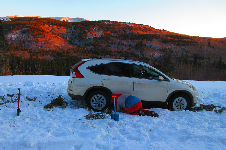 |
Sonny tries to dislodge his car after getting the rear axle stuck on an
immovable rock along Beaverdam Road. Mount Hamell can be seen in
the background.
Photo courtesy of Zosia Zgolak |
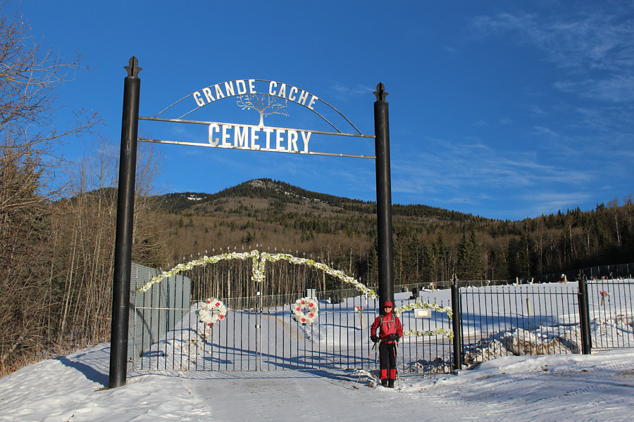 |
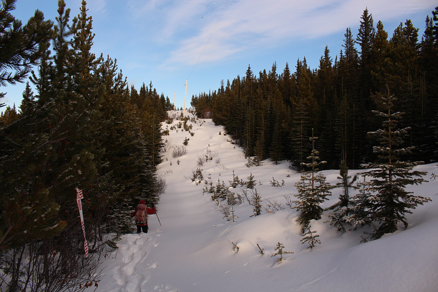
Zosia starts the hike up Grande Mountain from the Grande Cache cemetery. |
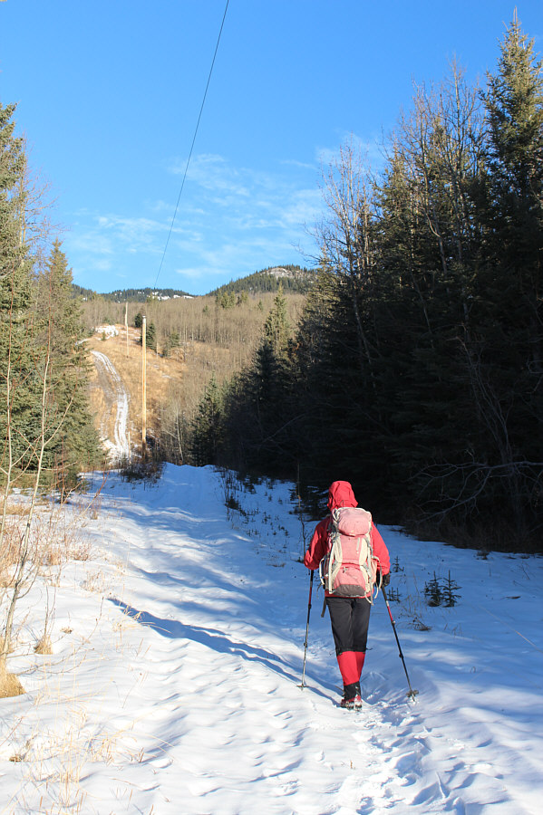 |
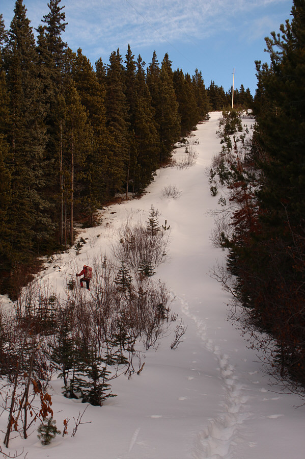
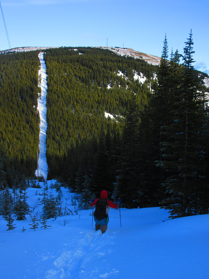
The trail up Grande Mountain follows this power line. |
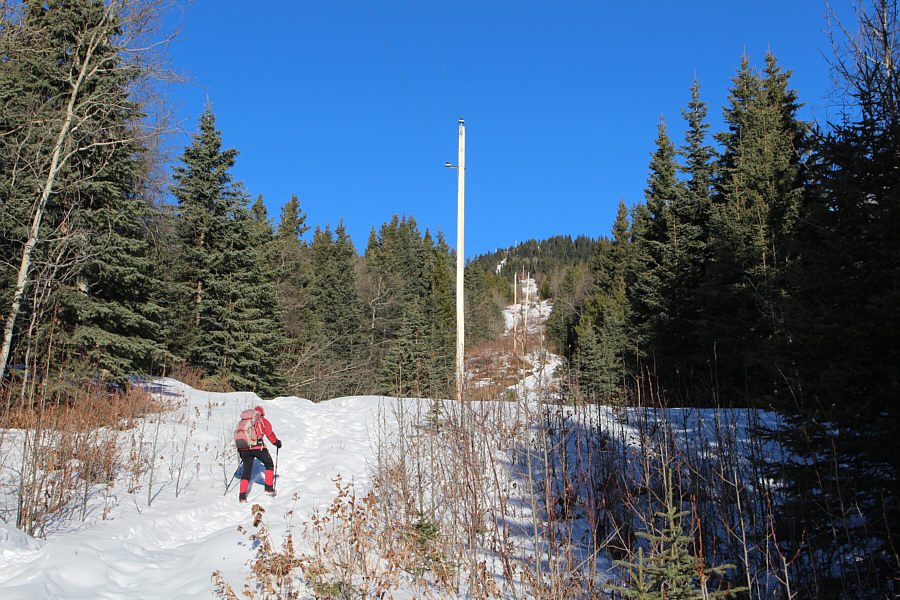 |
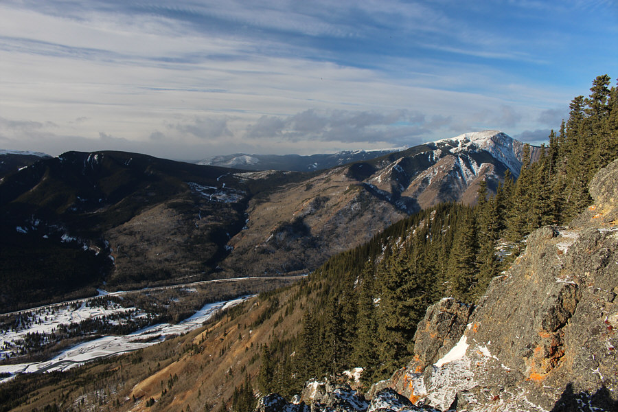
The power line can be seen rising up the distant ridge. |
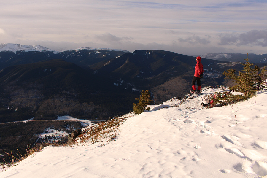 |
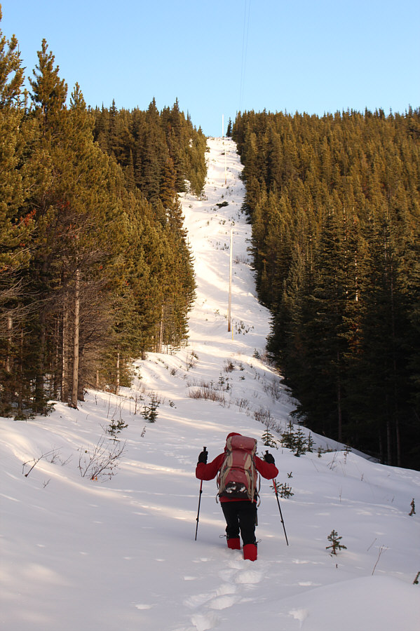
Zosia pauses at a scenic viewpoint
partway up Grande Mountain. |
 |
Mount Hamell (right) is visible from the viewpoint. Beaverdam Road
is also visible to the left of the drainage at centre. |
 |
Zosia begins to encounter deeper snow higher up the mountain. |
 |
The post-holing quickly becomes tedious. |
 |
Sonny drops down a most discouraging big dip along the route.
Photo courtesy of Zosia Zgolak |
 |
Zosia grinds up the other side of the big dip. |
 |
Zosia passes by some telecommunication structures atop Grande
Mountain. |
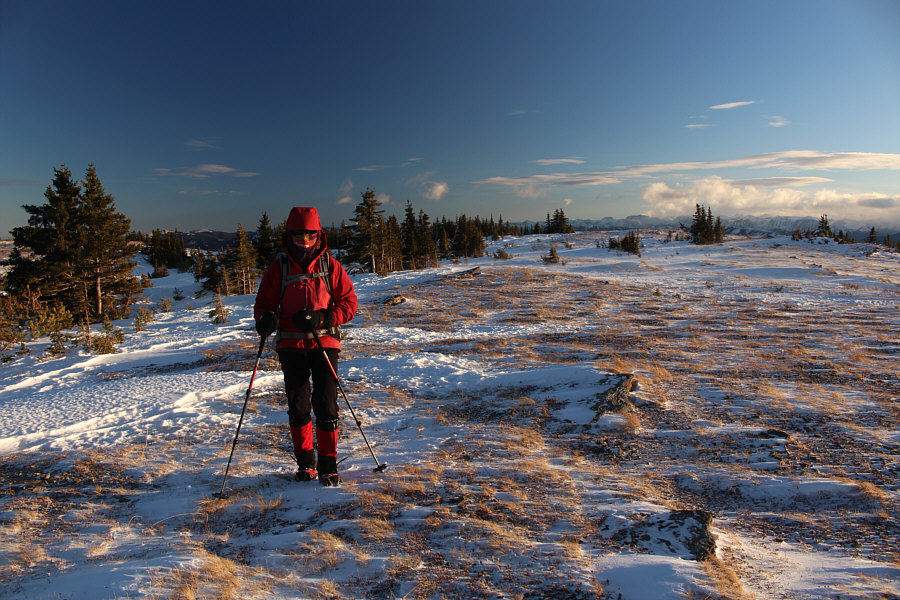 |
The top of Grande Mountain is broad making it difficult to discern the
location of the true summit. |
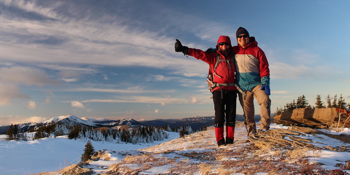
Zosia and Sonny pick this spot (1992 metres) for their
summit photo. At distant left is Mount Hamell.
 |
Zosia descends into the big dip on the return hike. Visible on the
horizon is Lightning Ridge. |
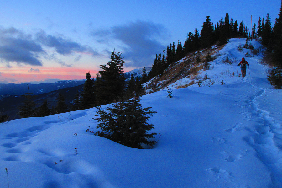 |
Sonny hikes down the mountain in growing darkness.
Photo courtesy of Zosia Zgolak |
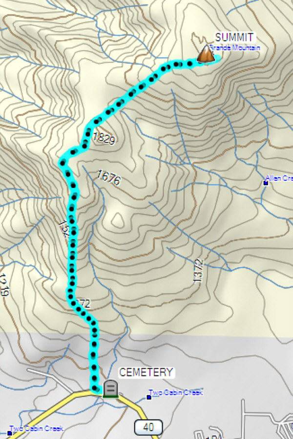 |
Total
Distance: 10.4 kilometres
Round-Trip Time: 6 hours 20 minutes
Cumulative
Elevation Gain: 1002 metres
GPX Data |