BOU AVENUE
Mount John Carter

Zosia Zgolak and I scrambled up Mount John Carter in British Columbia's Kokanee Glacier Provincial Park on 12 August 2020.  Although the mountain is probably more popular as a ski ascent in winter, it makes for a perfectly good day-hiking objective especially for those who do not have the time or inclination to haul a heavy backpack into the park's core area for an overnight stay.  A somewhat cursory route description can be found on Ron Perrier's website.

From Highway 3A, turn north onto Kokanee Glacier Park Road 19 kilometres east of Nelson or 12 kilometres west of Balfour.  Drive 16 kilometres to the large trailhead parking area (toilets and shelter) near Gibson Lake.  Although Kokanee Glacier Park Road is generally suitable for 2WD vehicles, there are a few rough spots where high-clearance would be helpful.

From the trailhead, Zosia and I hiked the signed and well-maintained Kokanee Lake Trail which climbs about 420 metres over a distance of 4.5 kilometres.  About 150 metres past the outlet stream for Kokanee Lake, the trail passes an outhouse before continuing northward along the west shore.  We left the trail beside the outhouse and worked our way up into a basin to the east of our objective.  Some route-finding was required to avoid steep slabs and more bushy terrain, but it was not long before we cleared the most unpleasant sections and began some enjoyable off-trail hiking up the "gently-rising rounded rock rib of good granite" as described by Perrier.  We headed northward over easy terrain and eventually reached a spectacular viewpoint overlooking the core area of the park which includes Kaslo Lake and the luxurious Kokanee Glacier Cabin.  After taking a short break here, we turned southwest and crossed a small snow patch before ascending the broad northeast aspect of Mount John Carter.  The angle of this rocky slope is more gentle than it initially appears, and the ascent is mostly easy off-trail hiking with only the occasional need to use hands for easy scrambling.  We eventually hiked over a false summit and continued up more easy terrain to the broad summit without any difficulties.

Zosia and I enjoyed an extended stay on the summit which was made all the more pleasant with, appropriately, a couple of cans of Kokanee Glacier Fresh Beer.  After our little summit party finished (ie. we ran out of beer), we commenced our descent, and admittedly, I had a bit of a trouble keeping my balance on some of the rocks.  Fortunately, the terrain is not technically difficult, and I eventually shook off the buzz from the beer after we bypassed the false summit and descended back to the snow patch near the first viewpoint.  On the descent to Kokanee Lake, we discovered a cairned route which takes a more direct but steeper line back to the outhouse.  We were a bit worried about getting cliffed out at times, but the cairns always led us to a reasonable route down.  The route and cairns peter out short of the outhouse, but by this point, we were able to make our own way back to our up-track without too much grief.  Upon regaining the Kokanee Lake Trail beside the outhouse, we easily hiked back to the trailhead.

They all kinda look the same!

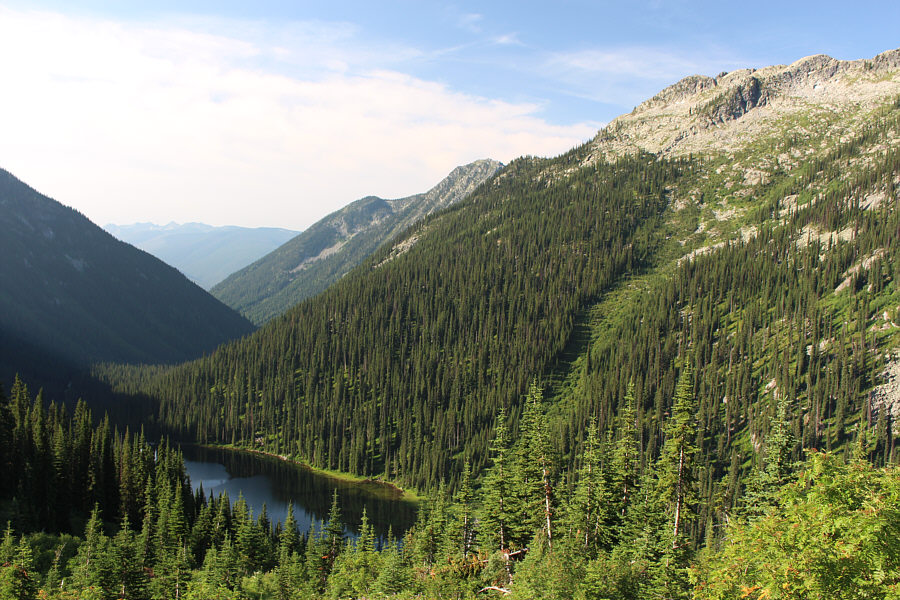
A break in the trees along the trail to Kokanee Lake grants this view of Outlook Mountain (second bump from left) and Mount John Carter (second bump from right).

The lake that nobody cares about! Here is a look back at Gibson Lake which is near the trailhead.
So, don't drink the water? Zosia hikes past Kokanee Lake.  Michel Trudeau, the youngest son of former Canadian prime minister Pierre Trudeau, was swept into the lake by an avalanche in 1998.  His body has never been recovered.
Maybe they were looking for Michel Trudeau's body in the wrong place... 
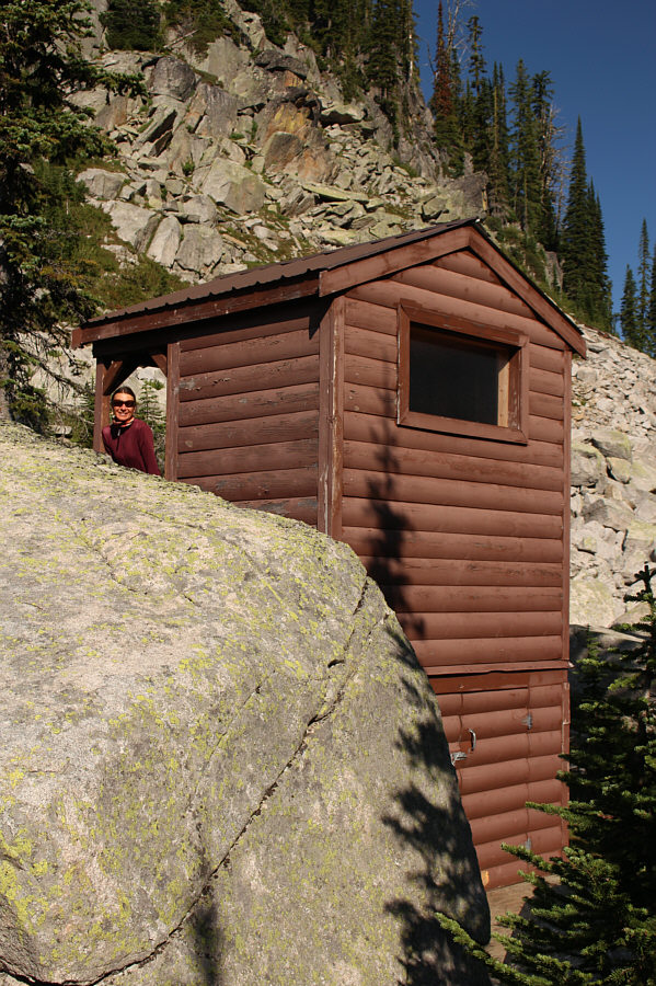
For those ascending Mount John Carter, the convenient outhouse near Kokanee Lake is a good spot to leave the main trail.
Probably the hardest part of the ascent right here. 
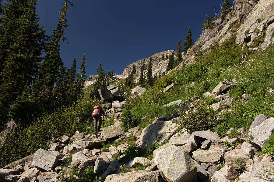
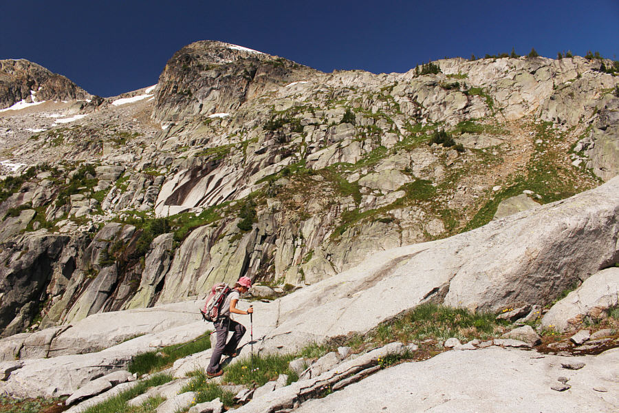
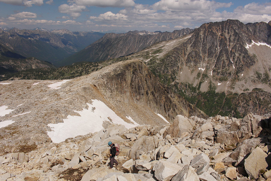
Zosia climbs over a mix of boulders and bushes as she tries to find a reasonable route past the steep slabs on the right.
It's steep, but it works! 
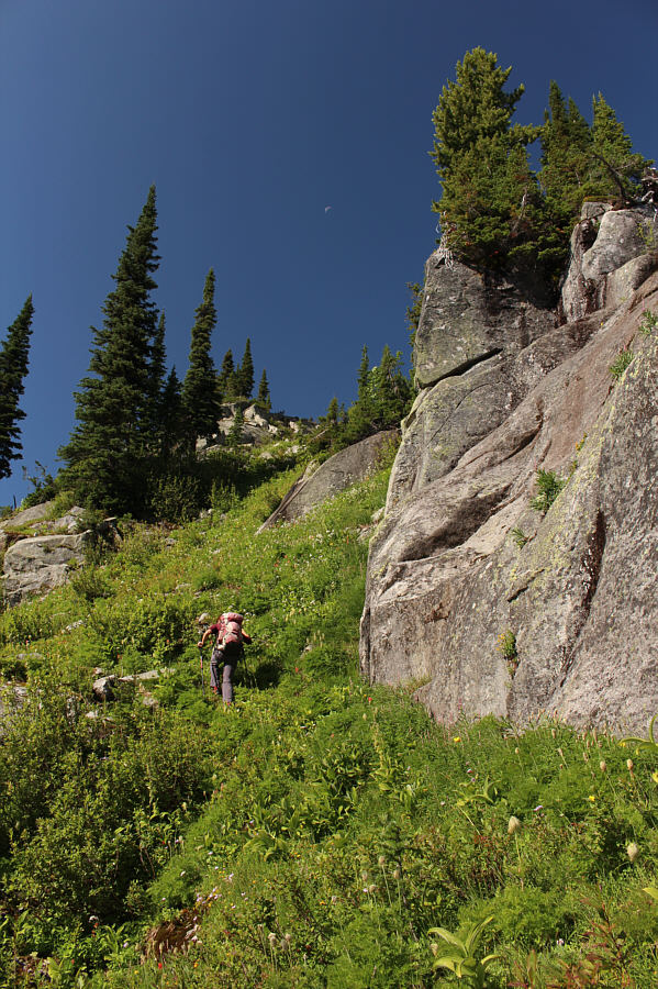
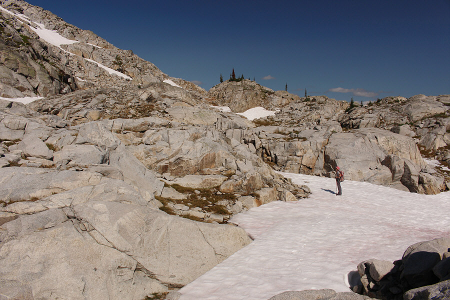
Zosia finds a steep game trail going up this gully feature.
Very pleasant off-trail hiking here. The angle of the slope relaxes as Zosia ascends easy slabs.  The false summit of Mount John Carter is directly above her.
Lots of options here. Zosia contemplates where to go next as she continues northward through rocky terrain.

Beautiful area. We must come back here!

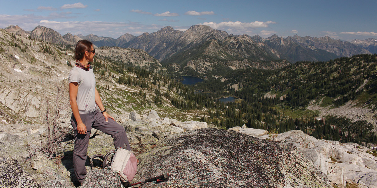
Zosia pauses for a break to admire the views of Kaslo Lake, Garland Lake, and Keen Lake.  Mount Retallack is the big mountain on the centre horizon.


Looks steep, but the slope is actually quite reasonable. 
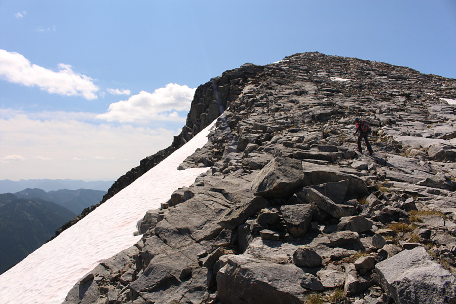
Zosia begins climbing up the broad northeast aspect of Mount John Carter.
She knows what she is doing! Zosia is in full scrambling mode after donning her helmet and gloves.
We're making really good progress! 
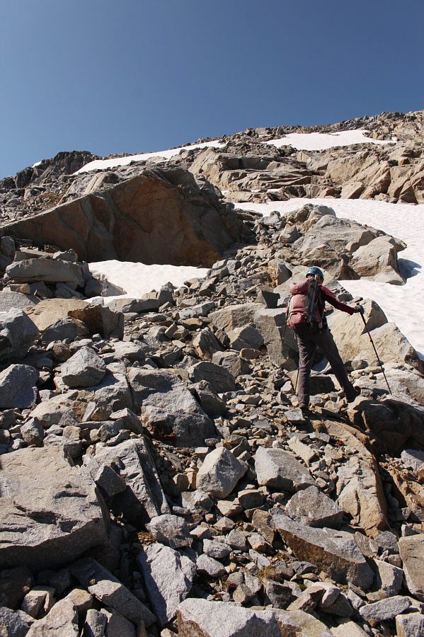
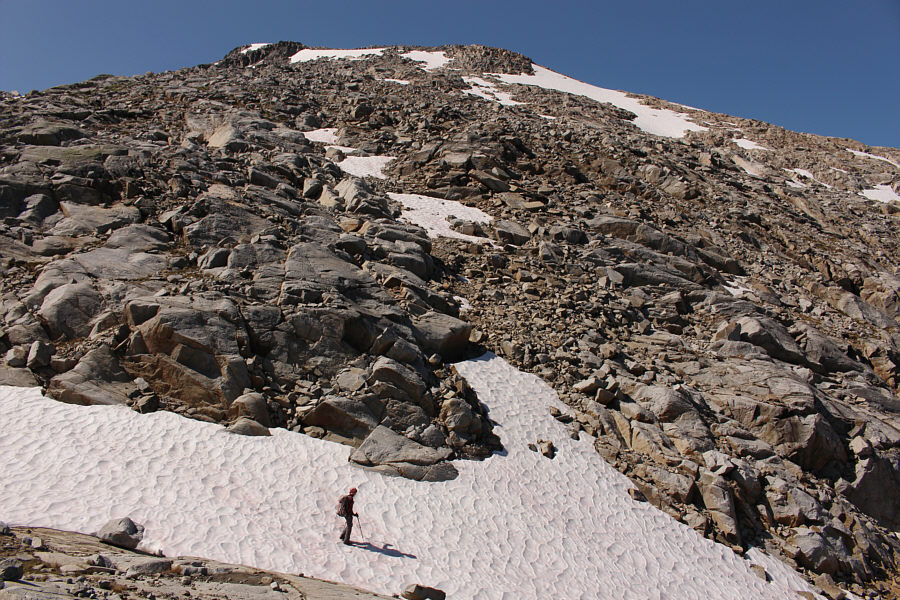
The rubble slope is fairly easy to ascend, and the snow patches are easy to avoid on this day.
Of course there has to be a false summit! Zosia approaches the top of the false summit.

Can you spot the summit cairns?

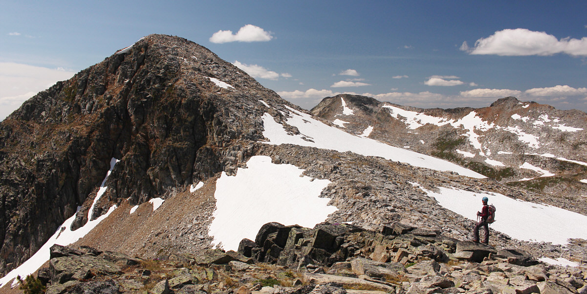
Zosia surveys the remainder of the route to the true summit of Mount John Carter.


I can see why this is probably a popular ski ascent in winter. The final climb up to the true summit presents no significant difficulties.
Which one is the highest? 
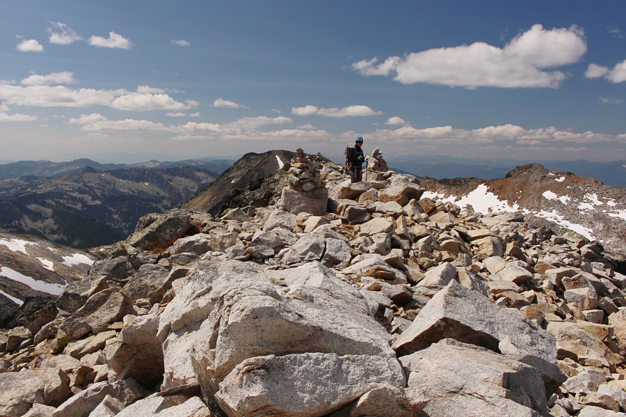
Several cairns mark the summit ridge.
Here's a toast to John Carter; may he rest in peace. Zosia and Sonny celebrate on the summit of Mount John Carter (2606 metres).  John Carter--local guidebook author, park ranger, and long-time member of the Kootenay Mountaineering Club--was killed in an avalanche on Smugglers Ridge just across the valley to the east in 1996.
Looks like it might be a fun traverse! 
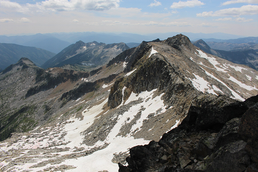
This is looking south along the connecting ridge to Outlook Mountain (right).

Simply sublime.

This is looking down into Glory Basin and the Sapphire Lakes.


<BURP> Like how's it going, eh? 
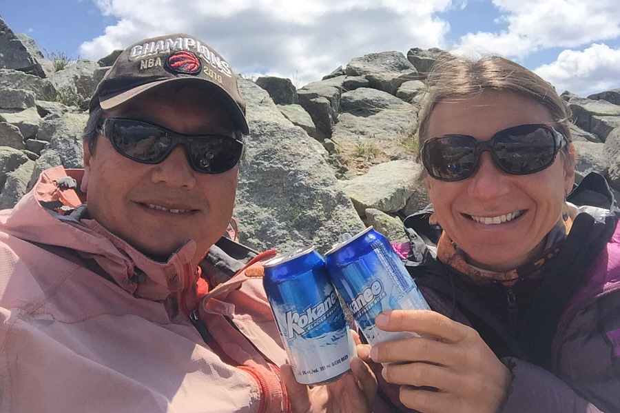
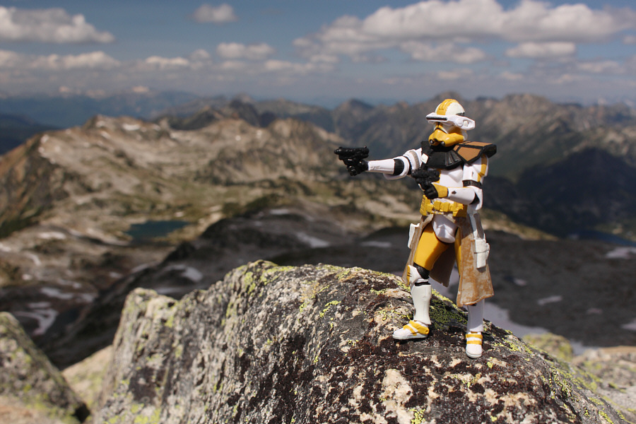
The beer that Sonny and Zosia brought is very appropriate for this park.
We bypassed the false summit on the way down by traversing the narrow snow patch at left. Smugglers Ridge is visible behind the false summit at centre as Zosia starts her descent.

It's a tough lake to photograph in its entirety!

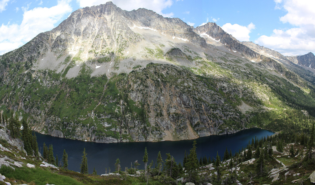
This is a stitched panorama of Kokanee Lake from the cairned route taken on descent by Zosia and Sonny.


Au revoir. We'll be back! 
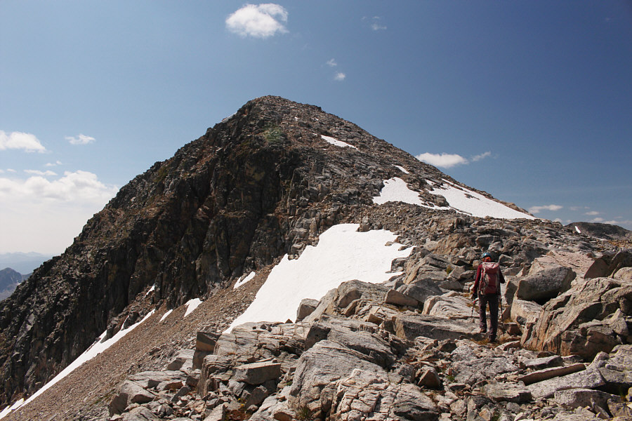
Here is one last look at Mount John Carter and its false summit.
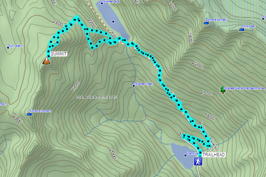
A fantastic scramble and highly recommended. Total Distance:  15.3 kilometres
Round-Trip Time:  8 hours 56 minutes
Net Elevation Gain:  930 metres

GPX Data