Photo courtesy of Zosia Zgolak
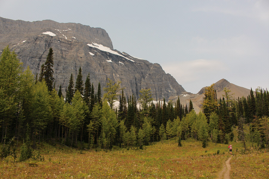
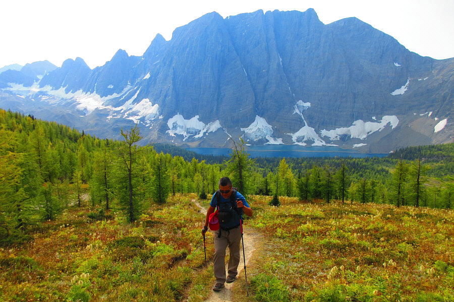
Photo courtesy of Zosia Zgolak
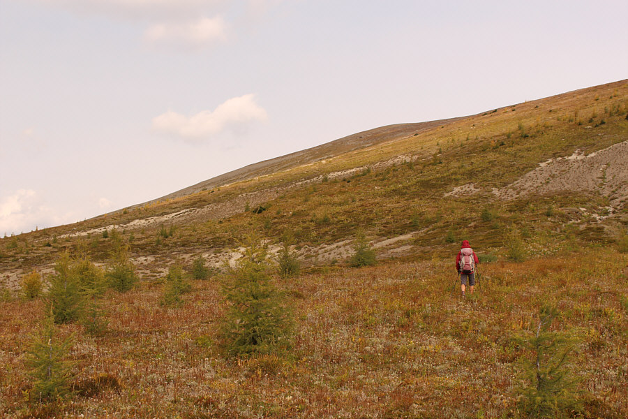
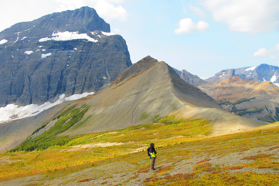
Photo courtesy of Zosia Zgolak
|
|
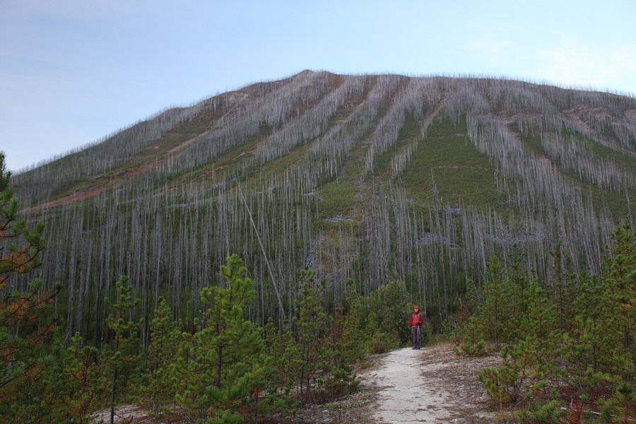
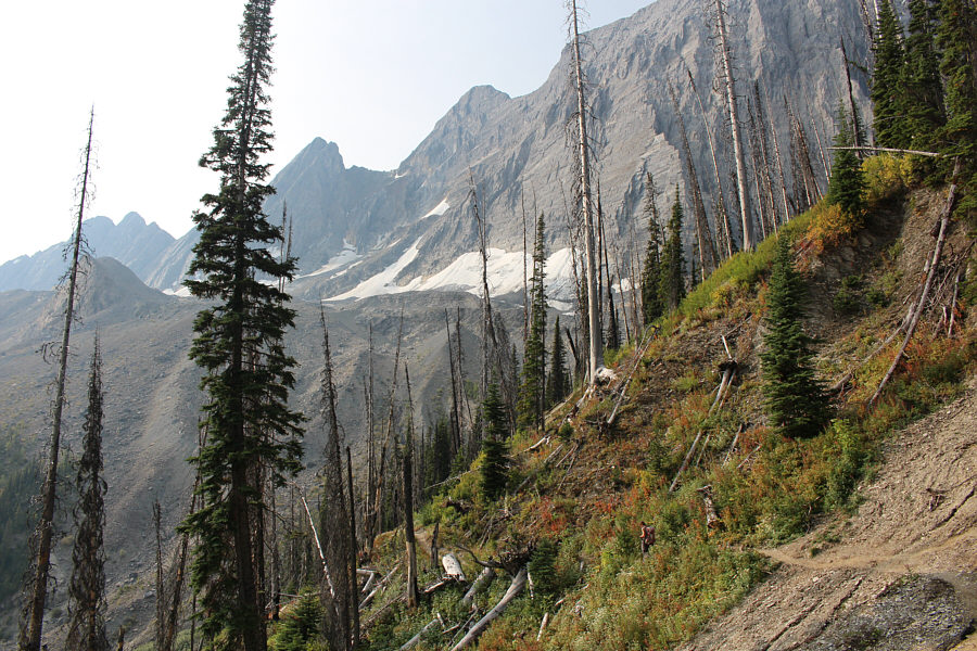
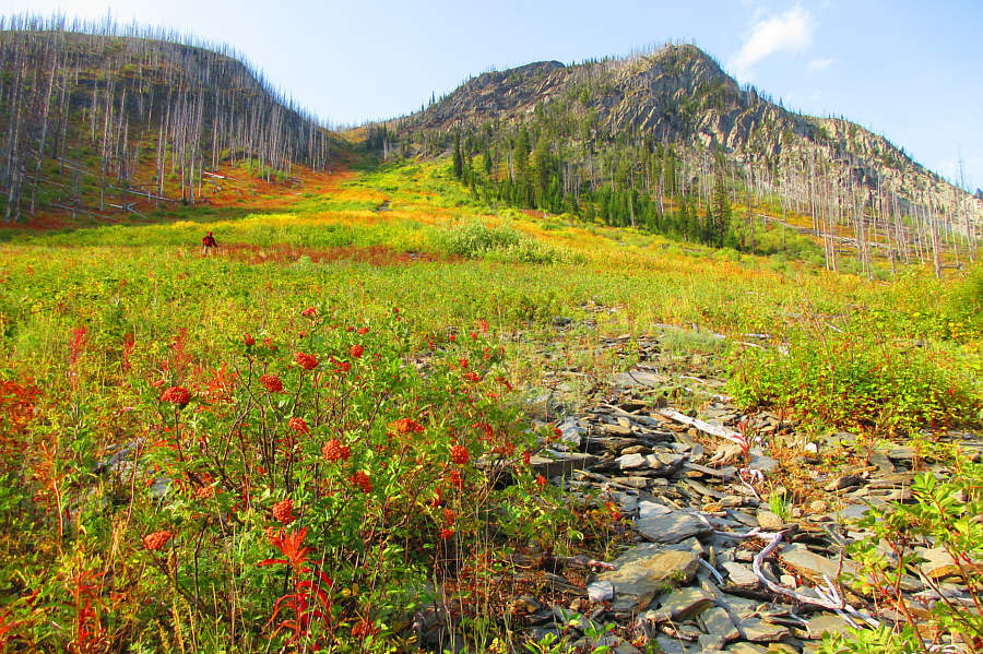
The results of relatively recent wildfires in Kootenay National Park are still evident as Zosia begins hiking the trail to Floe Lake. |
|
|
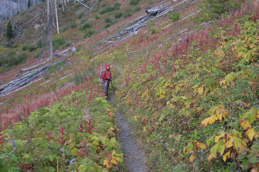
Fall colours (and temperatures) are already present on this day. |
|
|
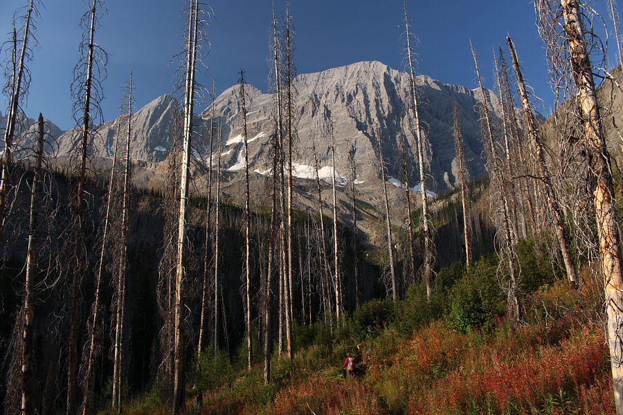
Impressive cliffs rise up as Zosia ventures further up the valley. |
|
|
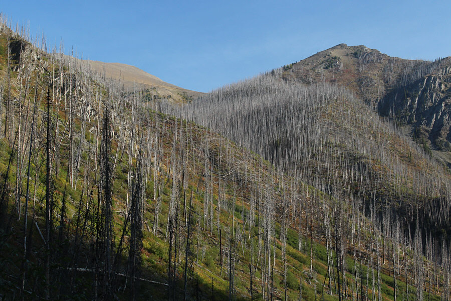
Near the head of the valley, there is a glimpse of the top of Numa Mountain (left) to the north. |
|
|
Zosia keeps following the trail as it climbs up the headwall guarding Floe Lake. |
|
|
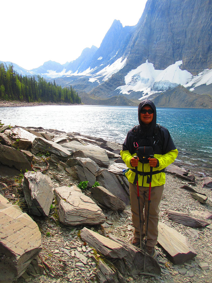
Sonny arrives at Floe Lake. Photo courtesy of Zosia Zgolak |
|
|
Zosia hikes the trail to Numa Pass. At left is the impressive east face of Foster Peak. |
|
|
Sonny emerges from the forest with Floe Lake in the background. Photo courtesy of Zosia Zgolak |
|
|
Zosia leaves the trail short of Numa Pass and climbs up a grassy slope. |
|
|
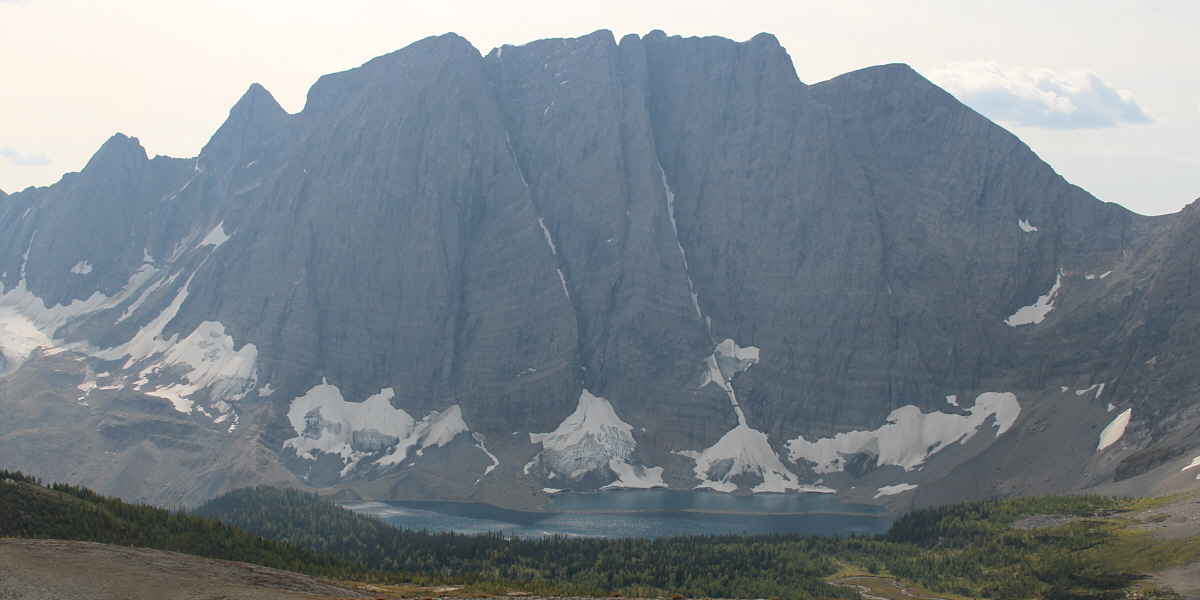
Here is a better view of Foster Peak at left. Some hikers can be
seen at Numa Pass at far right. Photo courtesy of Zosia Zgolak |
Here is a last look at Floe Lake.
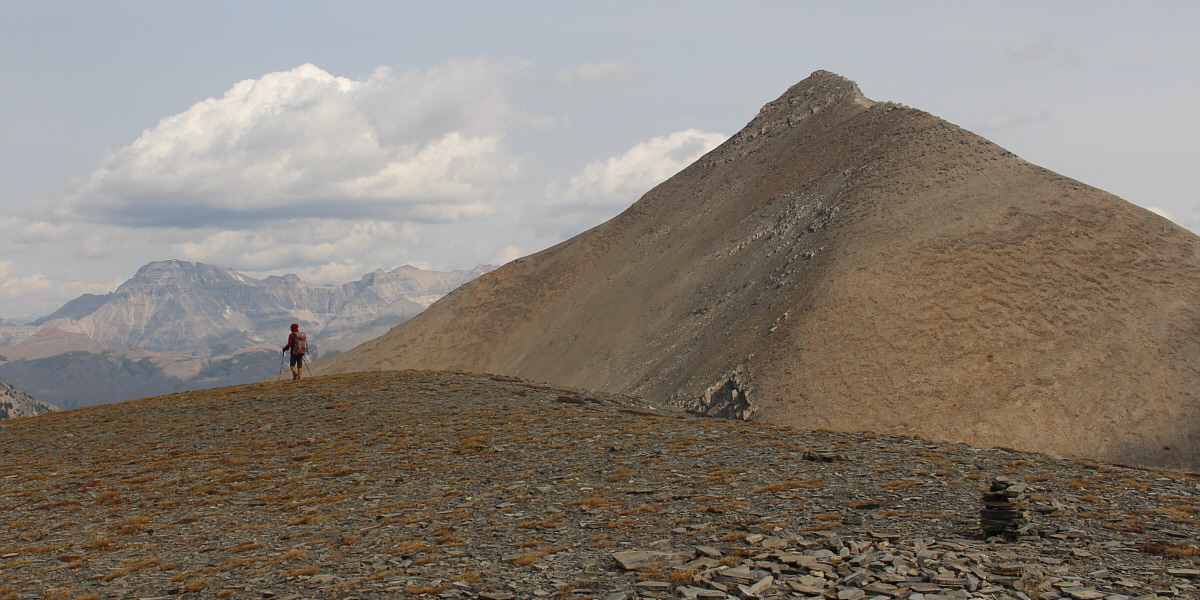
Zosia gets her first good look at Numa Mountain. The true summit is not visible here.
 |
Zosia descends about 90 metres to an intervening col. |
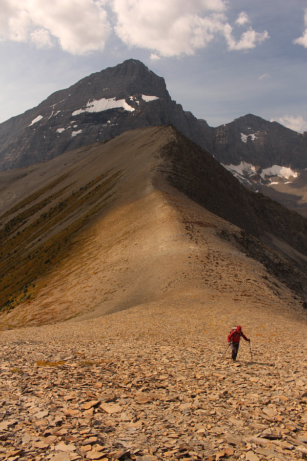 |
After dropping down to the col, Zosia resumes climbing up easy scree. |
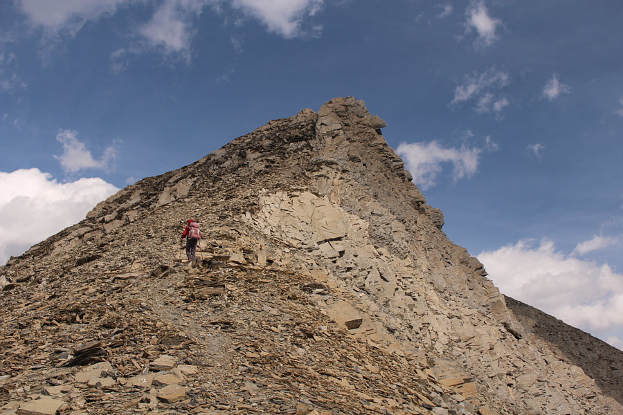 |
Zosia picks up a beaten path below a false summit. |
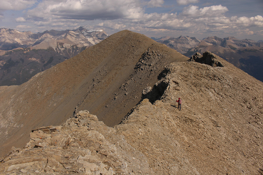 |
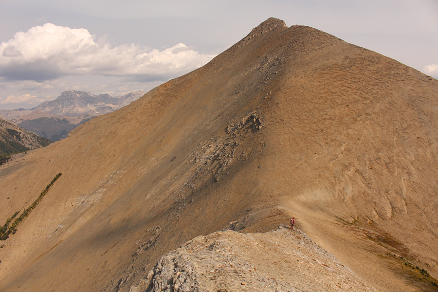
Zosia makes her way along the ridge toward the true summit. |
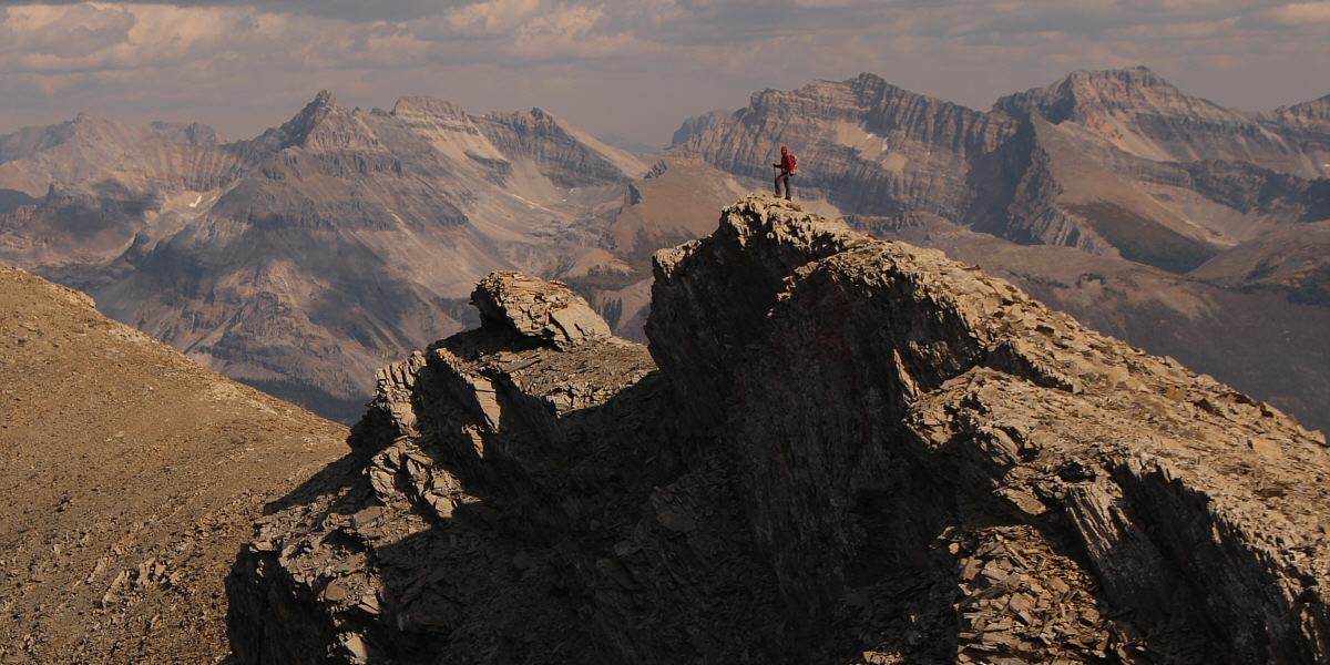
The remaining bumps along the summit ridge present no serious difficulties.
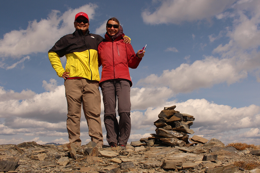 |
Sonny and Zosia stand on the summit of Numa Mountain (2718 metres). |
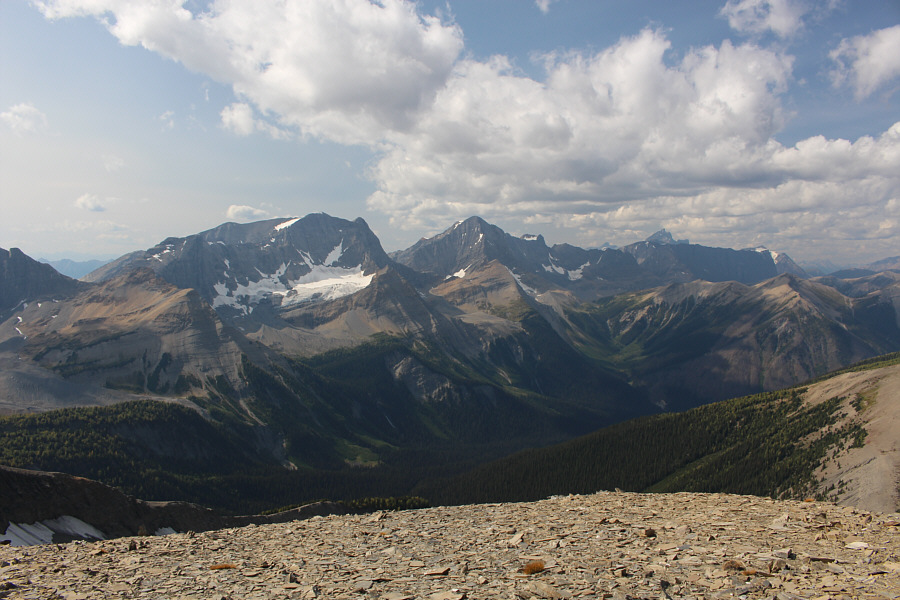 |
The rest of The Rockwall can be seen to the northwest. The top of Mount Goodsir is also visible on the right horizon. |
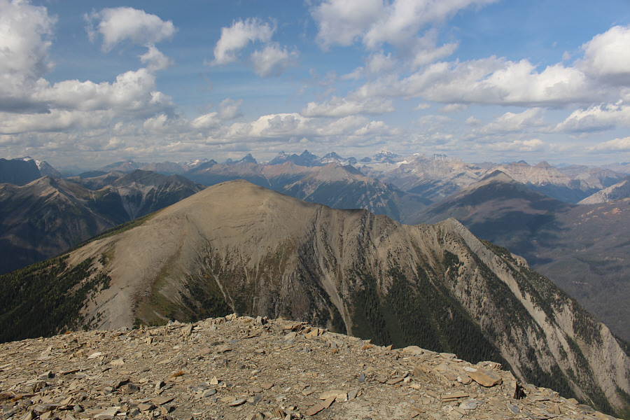 |
Many of the Ten Peaks and Mount Temple can be seen on the northern horizon. The ridge in the foreground is unnamed. |
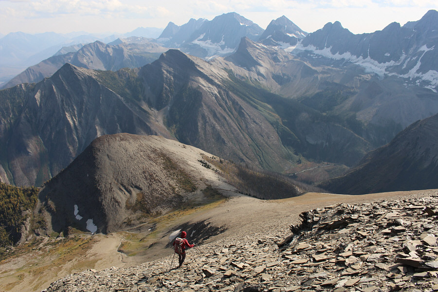 |
Zosia leaves the summit to descend a broad scree slope on the south side of Numa Mountain. At centre on the horizon is Mount Verendrye. |
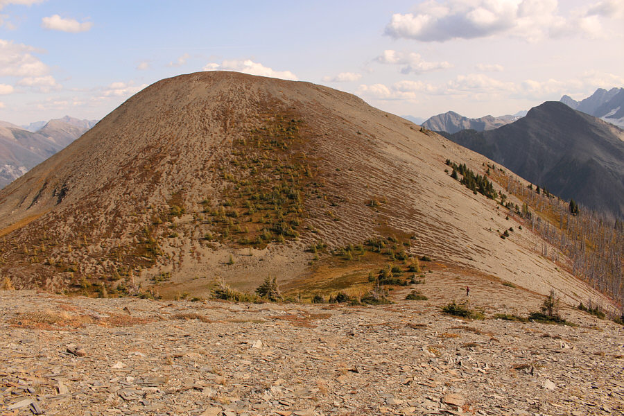 |
Most peak-baggers who tag the summit of Numa Mountain probably do not bother climbing this knob. The usual route for Numa Mountain bypasses this knob at far right. |
 |
Zosia drops down a steep slope aiming for the valley far below. |
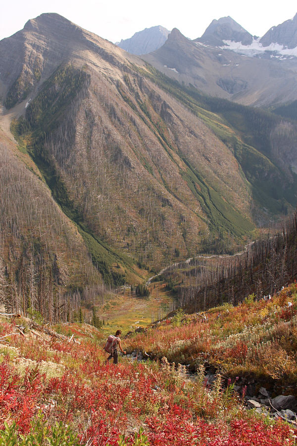 |
The descent to the valley is long and tedious. |
 |
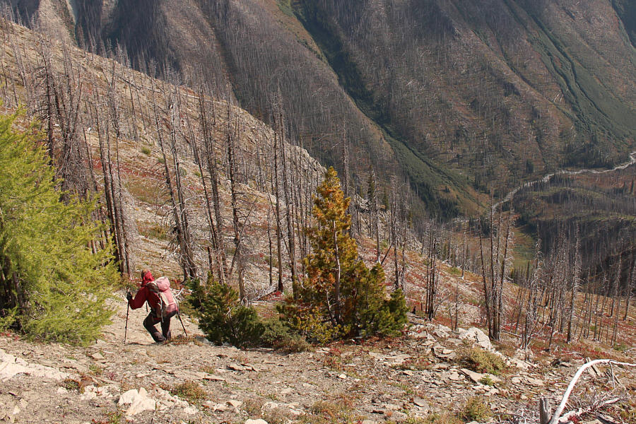
Zosia finds herself in a bit of a bushy mess on the wrong side of the drainage. |
 |
Sonny descends the final slope before reaching the main trail. Photo courtesy of Zosia Zgolak |
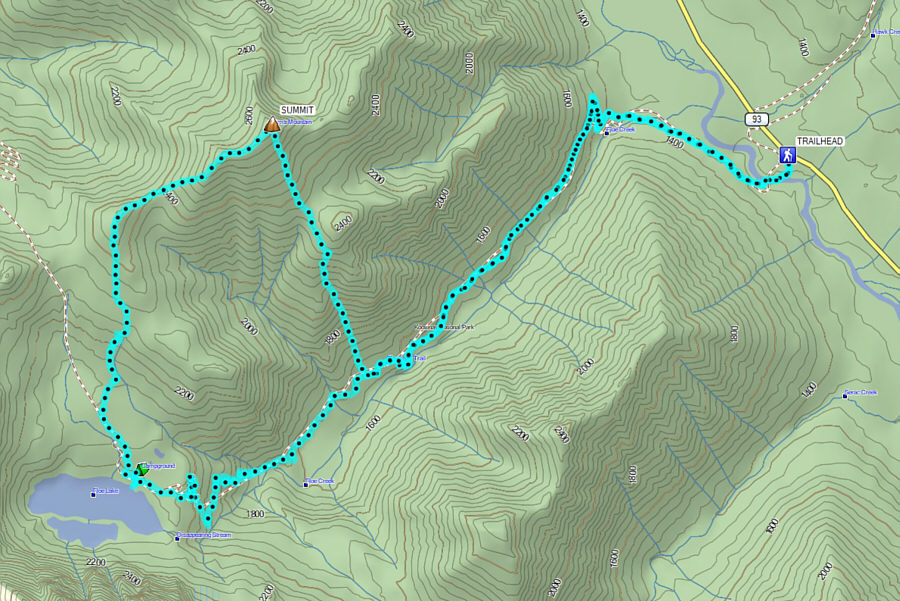 |
Total
Distance: 25.8 kilometres Round-Trip Time: 11 hours 48 minutes Cumulative Elevation Gain: 1825 metres |