BOU AVENUE
Unnecessary Mountain And Antelope Butte
On 25 April 2020, Zosia Zgolak and I hiked up Unnecessary Mountain and Antelope Butte located in the Rocky Mountain Foothills of southwest Alberta.  Both land features are officially-named but may not appear on older topographical maps.  We got the idea for this trip from Alison Sekera who climbed Antelope Butte a few weeks earlier.  Antelope Butte is located on public agricultural land, but the leaseholder's permission is required for recreational access.  Unnecessary Mountain is actually on private property, but coincidentally, the property owner happens to be the same as the leaseholder of the land on which Antelope Butte sits.  Zosia did all the leg work in contacting the property owner, and we were able to secure permission to access both Unnecessary Mountain and Antelope Butte.

Turn onto Range Road 22 from Highway 22 about 9 kilometres south of the bridge over Oldman River or 15 kilometres north of the junction with Highway 3.  Drive north along gravel Range Road 22 which eventually turns west and becomes Township Road 93.  A gate on the north side of the road about 3.9 kilometres from Highway 22 is a good place to access Antelope Butte.  Another gate on the south side of the road about 230 metres further west is the most logical starting point for Unnecessary Mountain.

Zosia and I decided to begin with the shorter and less complicated Unnecessary Mountain to start the day.  Passing through the gate by the road, we first hiked up a subsidiary summit to the west before traversing east to the true summit.  Route-finding was very straightforward, and our only challenge was dodging the abundance of cow dung everywhere.  Our descent also went without a hitch, and once we got back to my car, I moved it east to the other gate to access Antelope Butte.
It's hard to see in the photo, but there is already a lot of cow shit everywhere! 
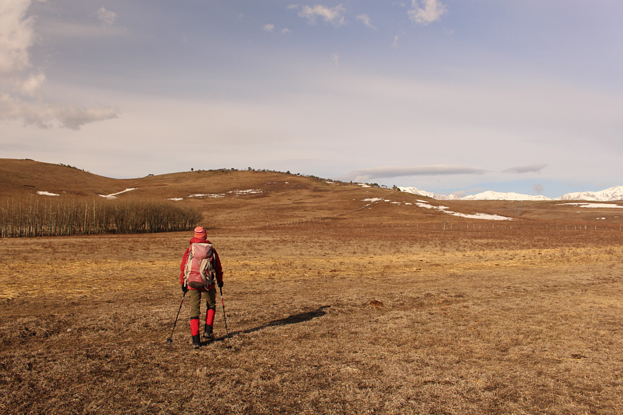
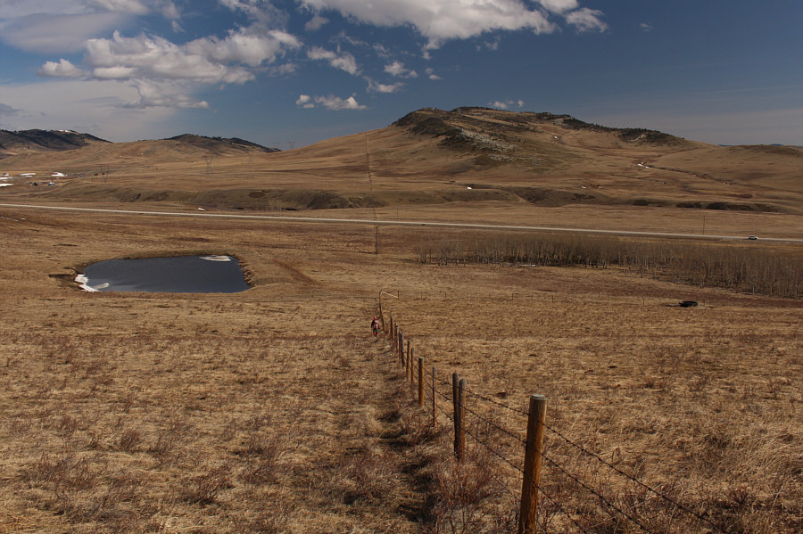
Zosia aims for the fence line at centre to ascend Unnecessary Mountain.  The true summit is out of view to the left.
If there was enough snow here, this might even be a pretty good ski ascent... 
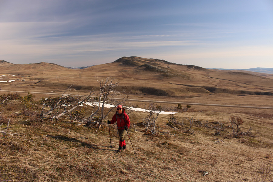
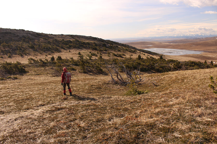
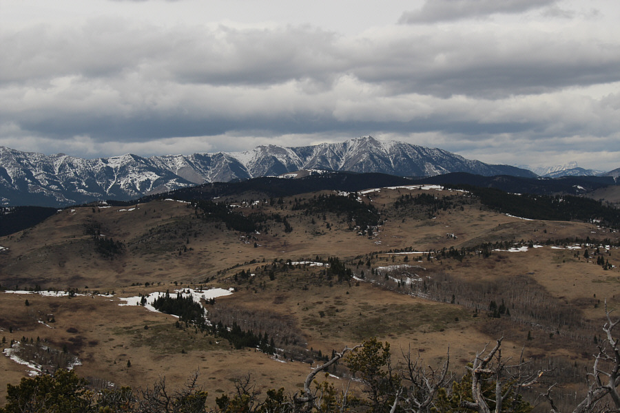
Zosia enjoys easy hiking up a windswept ridge.  Antelope Butte is visible in the distance.
This is not the most direct route to the true summit! 
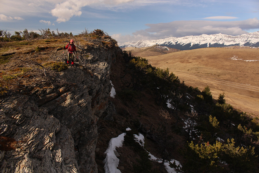
Zosia peers over the edge of a bluff along the west side of Unnecessary Mountain.
The panoramic views from here are actually better than from the true summit. 
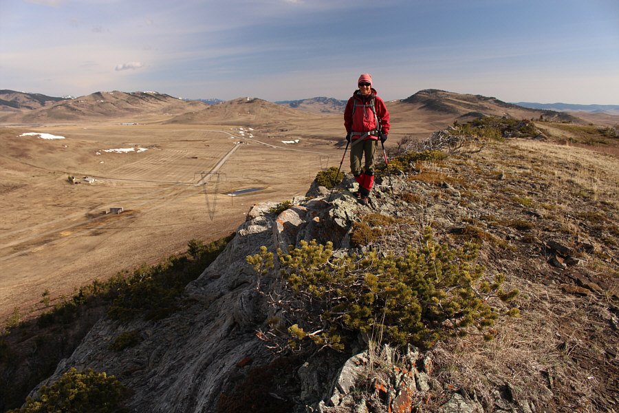
Zosia stands on the west summit of Unnecessary Mountain (1514 metres).
Only easy, pleasant hiking here. A broad pass separates the two summits of Unnecessary Mountain.
A very necessary summit for our mental well-being! 
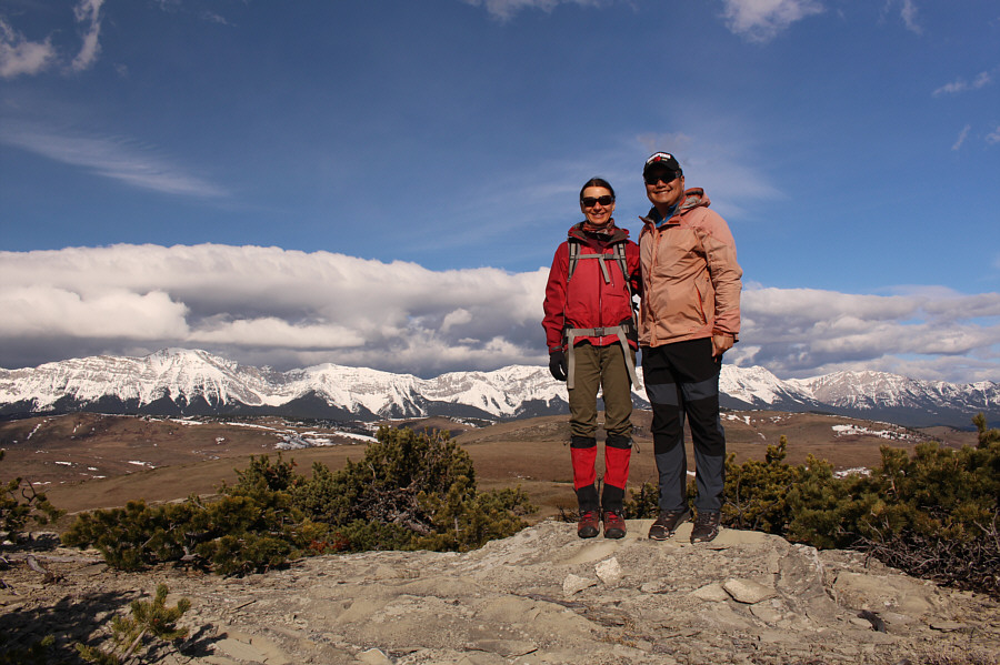
Zosia and Sonny reach the east (true) summit of Unnecessary Mountain (1526 metres).

Centre Peak is very high on my to-do list!

To the west, Centre Peak (right) is the high point of the Livingstone Range.


Not a lot of developed beach front properties there! 
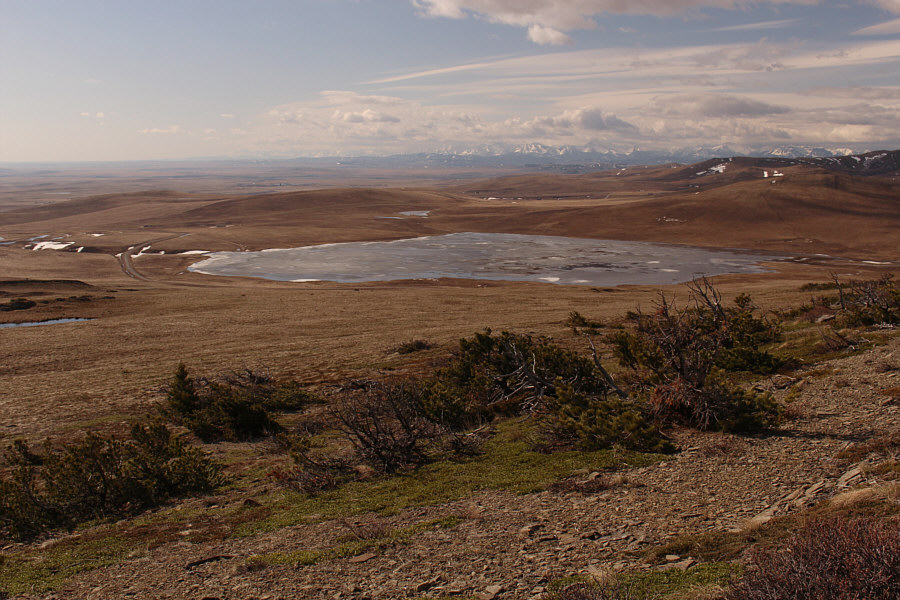
An unexpectedly large unnamed lake sits to the southeast.  Much of the water there is likely intermittent.
Don't fence me in! Zosia descends along a fence line to get back to Sonny's car which is visible at far right.
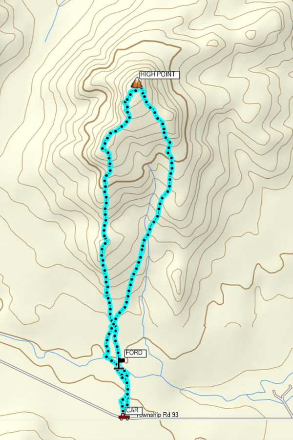
An excellent warm-up hike! Total 
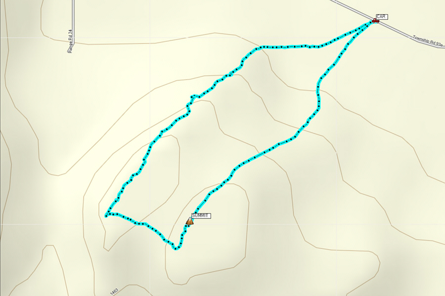
Distance:  3.0 kilometres
Round-Trip Time:  1 hour 17 minutes
Net Elevation Gain:  152 metres

GPX Data

Passing through the gate on the north side of the road, Zosia and I crossed a field before dropping a short distance into a ravine to ford Todd Creek.  The fast-flowing creek looked a bit intimidating, and we wandered further west along the south bank before finding a suitable place to cross.  The creek turned out to be about knee-deep, and fortunately, we managed to get across without incident.  Climbing out the north side of the ravine, we had to hop over another barbed-wire fence before settling into an easy plod up the south ridge of Antelope Butte.  There are a few false summits along the way, but once again, route-finding was fairly easy.  The most interesting thing about Antelope Butte are the numerous hoodoos scattered throughout the hillside.  They look somewhat out of place here, but exploring and scrambling on the hoodoos make for a fun diversion on an otherwise unremarkable ascent.

Upon reaching the high point of Antelope Butte, we snapped a few requisite photographs before descending to the shelter of some trees for a short lunch break out of the wind.  When we resumed hiking, we descended a ridge further to the east before veering back to our original line of ascent, thereby avoiding having to climb back over the numerous false summits.  We eventually forded Todd Creek at the same spot as before, and although we once again made it across safely, the icy waters seemingly felt more painful this time around.  Subsequently, we had no further problems climbing out of the ravine and walking back to my car.
She's getting good at this! 
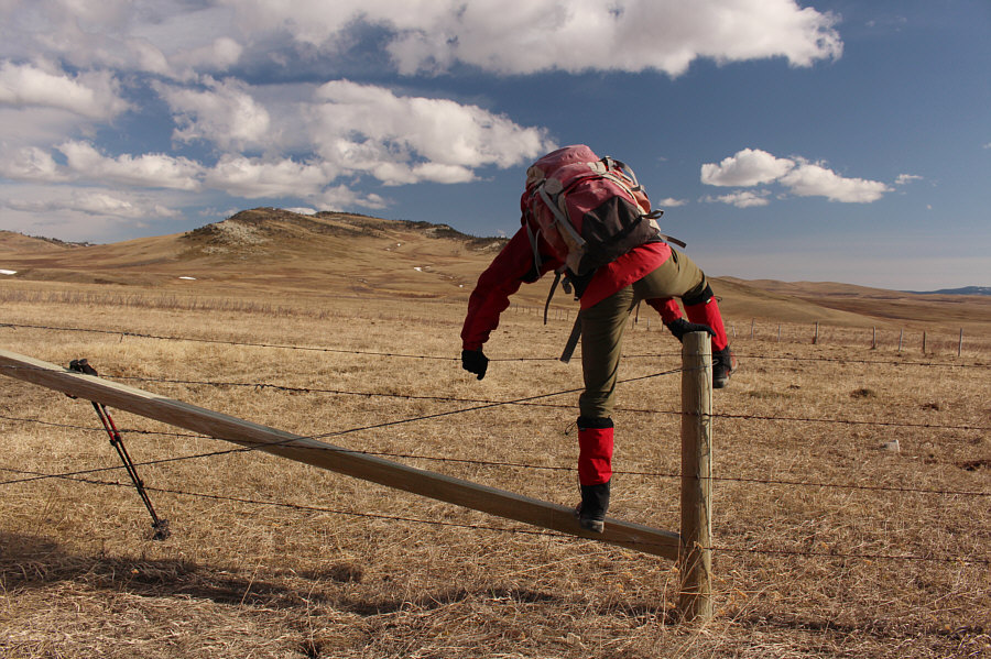
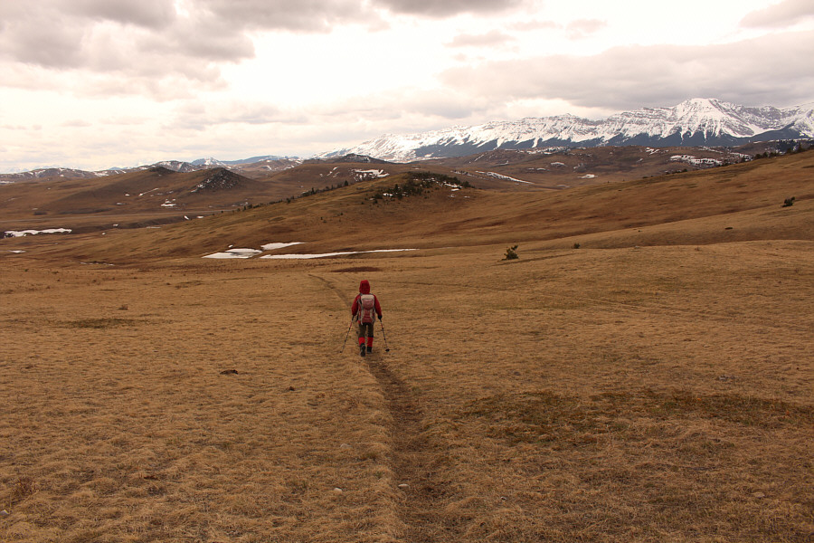
Zosia commences her ascent of Antelope Butte by hopping over a barbed-wire fence.
The hardest part is trying to avoid stepping in cow dung on the shore with your bare feet! 
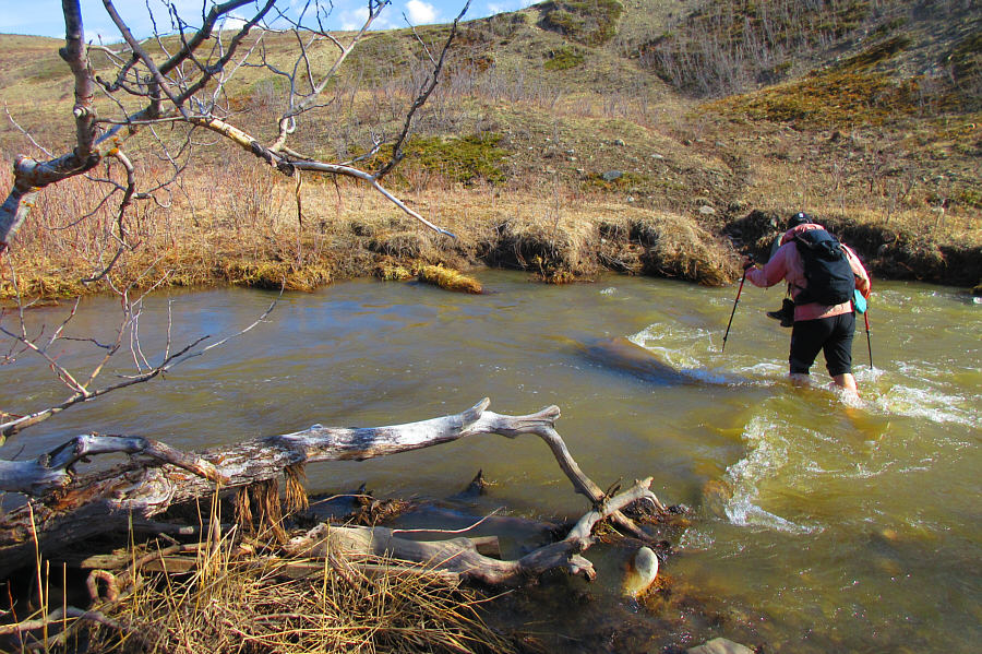
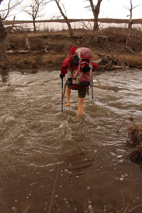
Sonny fords fast-flowing Todd Creek.

Photo courtesy of Zosia Zgolak

The climb is as gentle as it looks! 
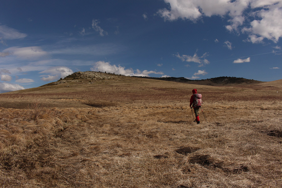
Zosia heads for the south ridge of Antelope Butte.
Sadly, ski season is over! 
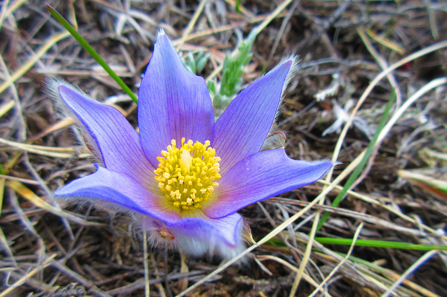
The pasque flower is a sure sign that spring has arrived.

Photo courtesy of Zosia Zgolak

My mom calls them, "Too-hoos"! 
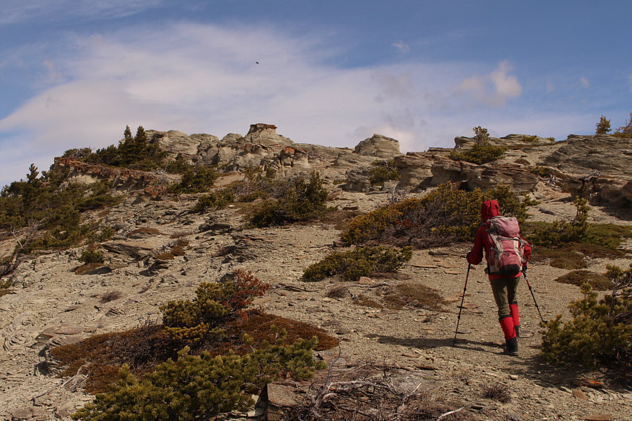
Zosia approaches some hoodoos on the south ridge of Antelope Butte.  The black speck in the sky is an eagle soaring by.
We were standing on top of Unnecessary Mountain only 90 minutes earlier! 
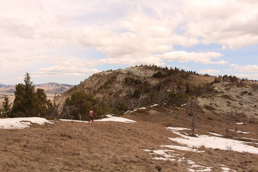
Unnecessary Mountain is visible in the distance behind Zosia as she ascends the south ridge of Antelope Butte.
The false summits are less annoying here than on other longer ascents. There are several false summits along the south ridge of Antelope Butte including the one visible at centre.
Strangely, the cows shit everywhere except on the hoodoos! Zosia stands atop one of the many hoodoos found on Antelope Butte.

Kind of a creepy-looking summit!

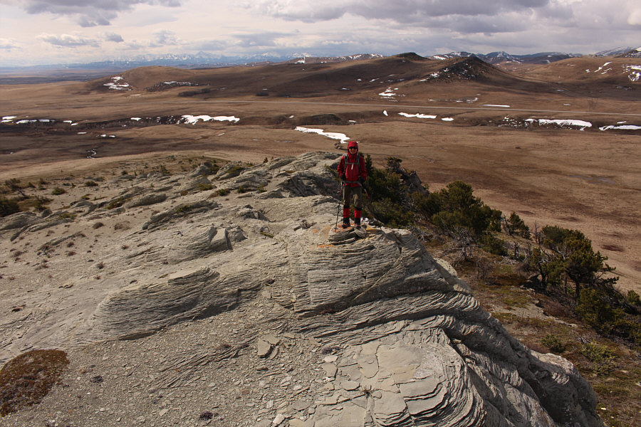
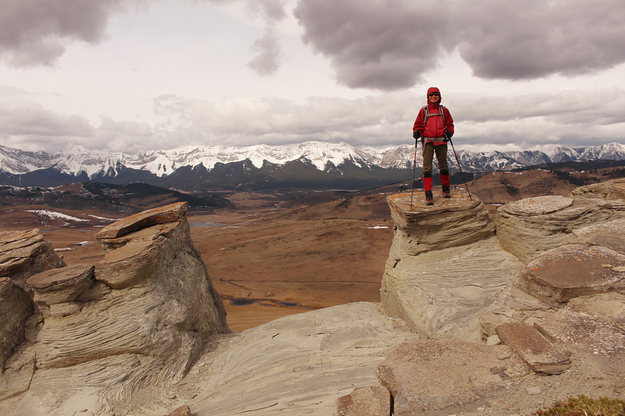
Zosia and Sonny stand on the high point of Antelope Butte (1639 metres).


Great capture, Zosia! 
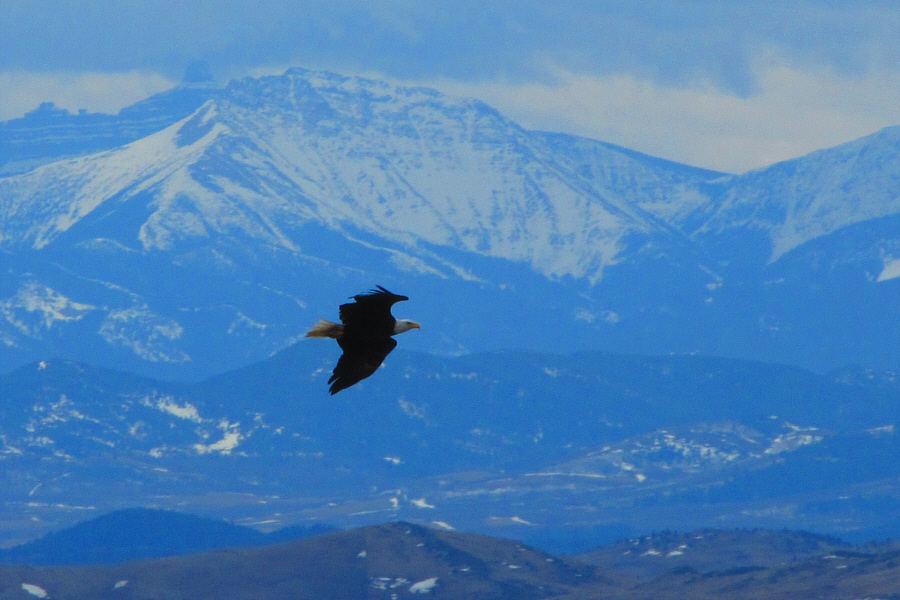
A bald eagle flies past the top of Antelope Butte.

Photo courtesy of Zosia Zgolak

Feels like a lifetime ago when I was up there... 
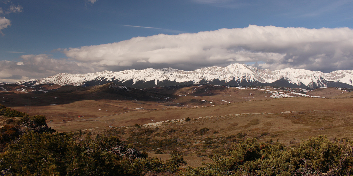
Despite increasing cloud cover, Thunder Mountain is still visible to the northwest from the top of Antelope Butte.
Apparently, this is where all the cows go too! Zosia effectively bypasses all the false summits by descending the basin to the east of Antelope Butte's south ridge.
One more obstacle for the day... 
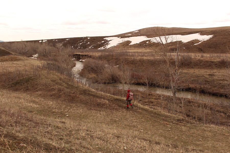
Zosia heads back to the spot where she forded Todd Creek earlier.
For some reason, the icy waters felt more painful this time around. Zosia fords Todd Creek for a second time.
Watch your step! Lots of cow dung here!! Total Distance:  7.3 kilometres
Round-Trip Time:  3 hours 43 minutes
Net Elevation Gain:  265 metres

GPX Data