Photo courtesy of Zosia Zgolak
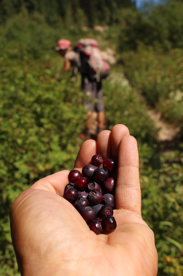
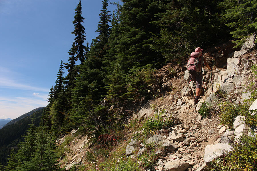


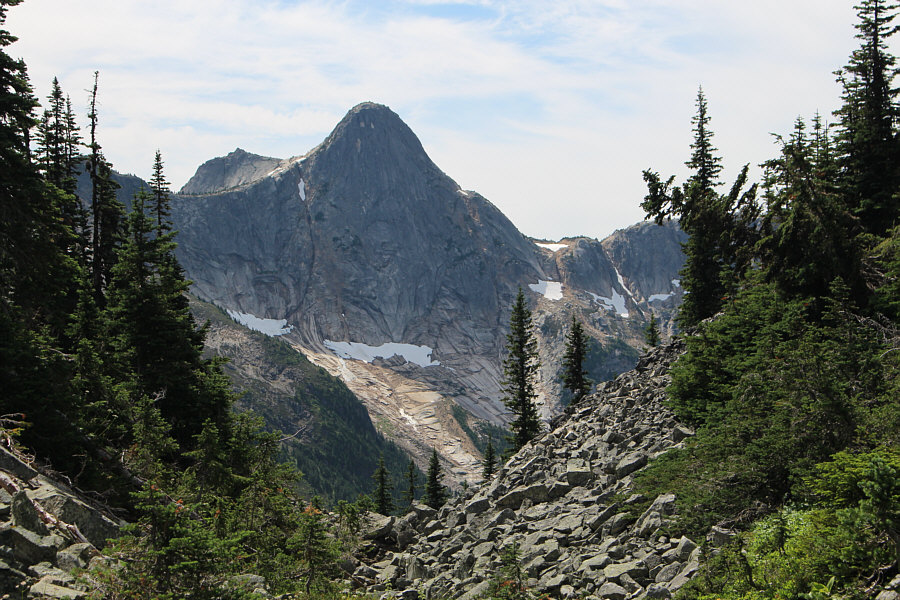
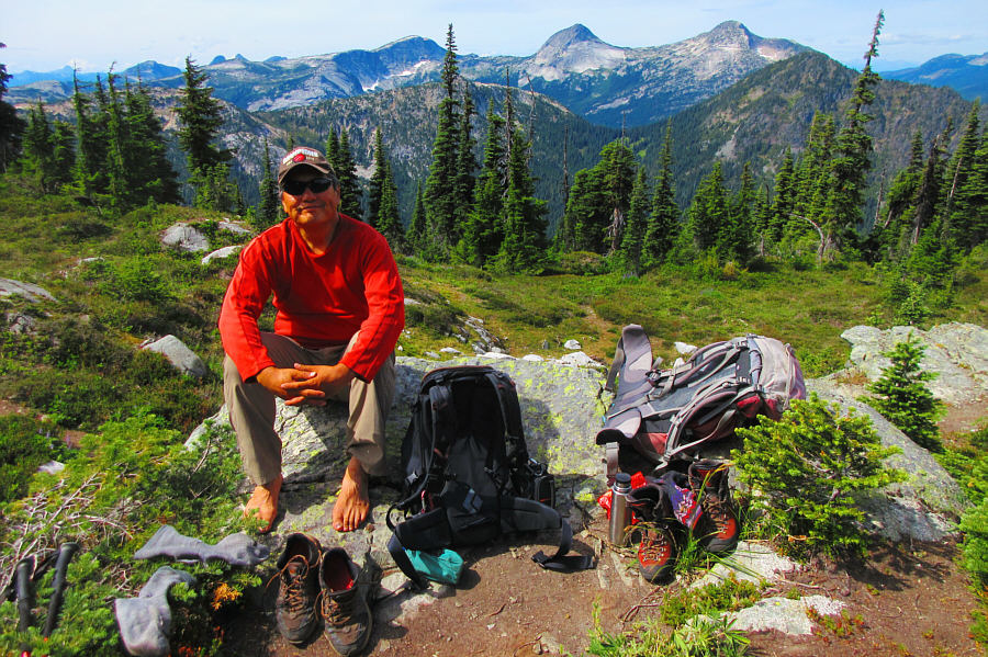
Photo courtesy of Zosia Zgolak
|
|
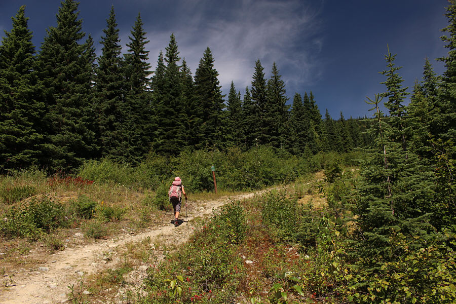
The trail to Zoa Peak is signed and well-maintained. |
|
|
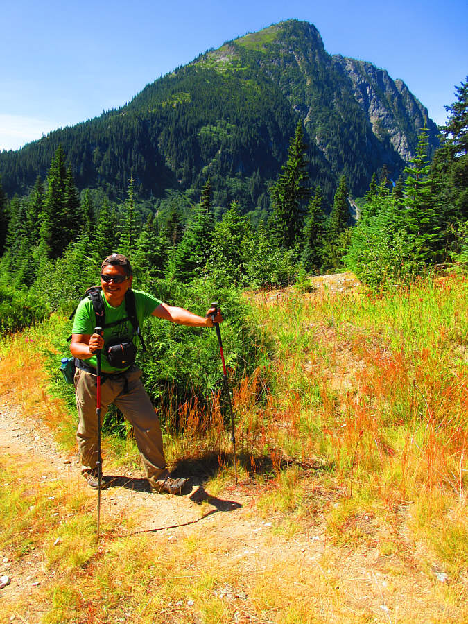
Thar Peak rises behind Sonny as he hikes up the trail. Photo courtesy of Zosia Zgolak |
|
|
There is an overwhelming abundance of ripe huckleberries along the section where the trail follows a pipeline right-of-way. |
|
|
Zosia leaves the right-of-way and climbs the trail into the forest. |
|
|
The trail eventually breaks out of the forest into sub-alpine meadows. |
|
|
Ahead is the summit block of Zoa Peak. |
|
|
A gap between the summit block and the eastern outlier (false summit) grants this view of Yak Peak. |
|
|
The official trail ends shortly before this meadow west of the true
summit. Photo courtesy of Zosia Zgolak |
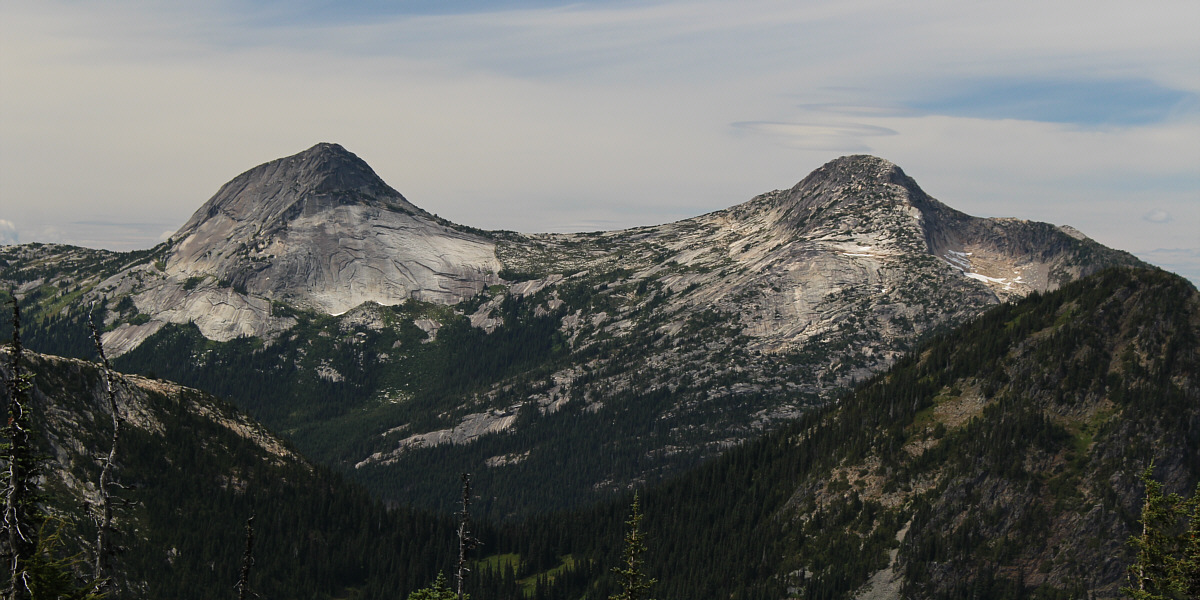
Here is a closer look at Vicuna Peak (left) and Guanaco Peak to the northwest.
 |
Zosia scrambles up some big blocks to reach the true summit of Zoa Peak. |
 |
Zosia proudly stands on the viewless summit of Zoa Peak (1861 metres). |
 |
Zosia retraces her steps along the trail and would head up the false summit at centre. Unfortunately, the views from there are no better than from the true summit. |
 |
As a consolation prize, Sonny collects a whole bagful of ripe
huckleberries during the hike out. Photo courtesy of Zosia Zgolak |
 |
Total
Distance: 9.4 kilometres Round-Trip Time: 5 hours 44 minutes Net Elevation Gain: 619 metres |