BOU AVENUE
Black Mountain
Kicking off a four-day long weekend, Zosia Zgolak and I climbed up Black Mountain in Alberta's Black Creek Heritage Rangeland on 12 February 2021.  An easy hiking route is described in numerous online trip reports, but we thought it would be novel to try it on light touring skis given a recent dump of snow.  Starting from a pullout in front of an unlocked gate along Highway 22 (31 kilometres south of the junction with Highway 533 or 41 kilometres north of the junction with Highway 3), we tiptoed around some protruding rocks and frozen piles of cow dung before passing through a second gate with a sign reading "Use Respect".  Climbing up the continuation of the road, we passed through a third gate which had been left open and found ourselves in a vast grassland with far-reaching views in all directions.  From here, we aimed for an obvious notch in a forested ridge to the west which is the usual access point for Black Mountain.  Despite the recent snowfall, snow coverage here was still uncomfortably thin probably due to the frequent winds that rake across the grassland.  Fortunately, there was just enough snow for us to ski on the road leading to the notch where we encountered yet another gate.  Instead of going through this fourth gate, we left the road here and turned northward to climb up the south ridge of Black Mountain.  Although the ridge was initially quite steep, we eventually settled into a fairly gentle ascent along the undulating crest.  Occasional glades helped to break up the monotony of the viewless forest, and while there were some thin spots here and there, the snow coverage on the ridge was generally adequate for ski touring.  Like others have done, we continued for a short distance past the forested summit to semi-open sections of the ridge further north.  On this day, we had some limited views of Whaleback Ridge to the west, but unfortunately, clouds obscured most of the higher peaks beyond.  With little else to see and temperatures too uncomfortably cold for lingering, we promptly returned the way we came.  Most of the ski out went without a hitch, but we did have to walk two problematic sections--the end of Black Mountain's south ridge near the fourth gate (too steep for light touring gear) and the stretch of road from the third gate to the highway (not enough snow to ski down).
Brrrrrrrrrrr!!!

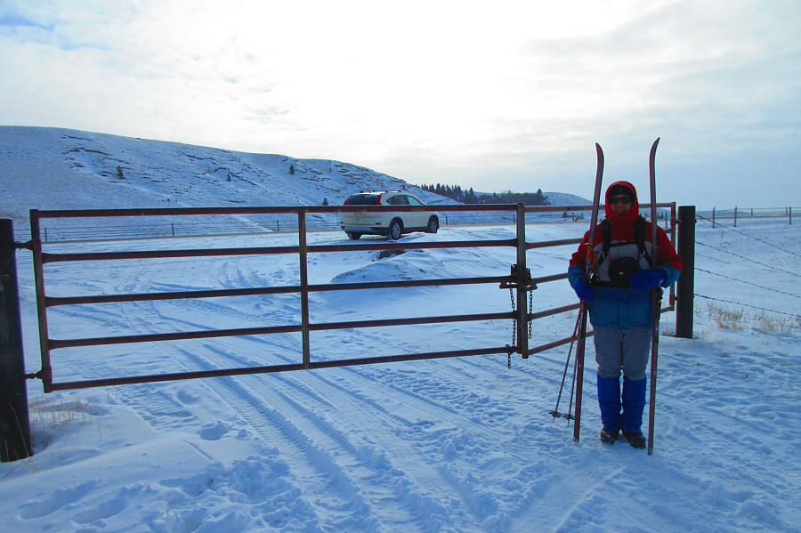
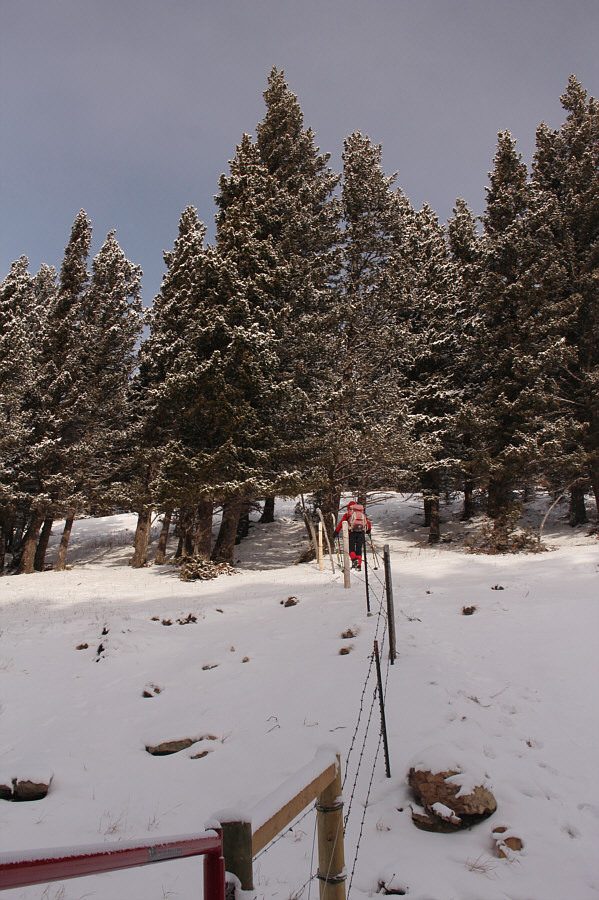
Sonny passes the first gate near the highway to start the trip.  The temperature according to Sonny's car is -25°C.

Photo courtesy of Zosia Zgolak

Watch out for all the frozen cow shit here!

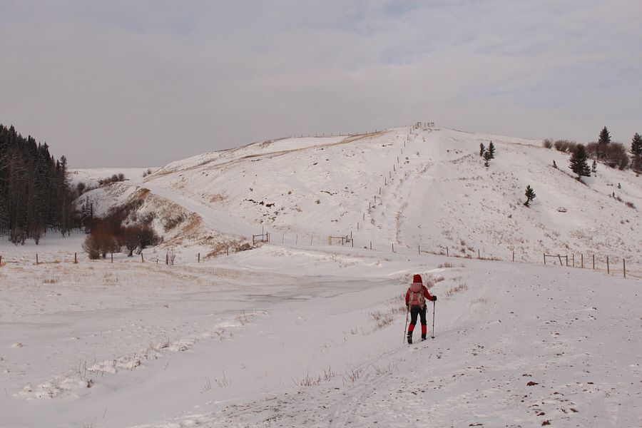
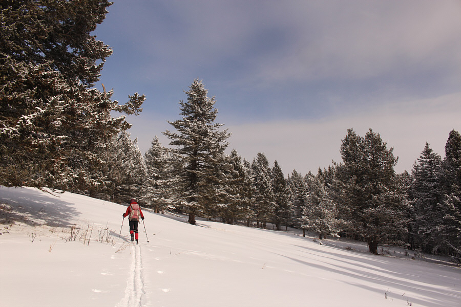
Zosia heads for the second gate ahead.

I hate opening and closing these barbed wire fences! 
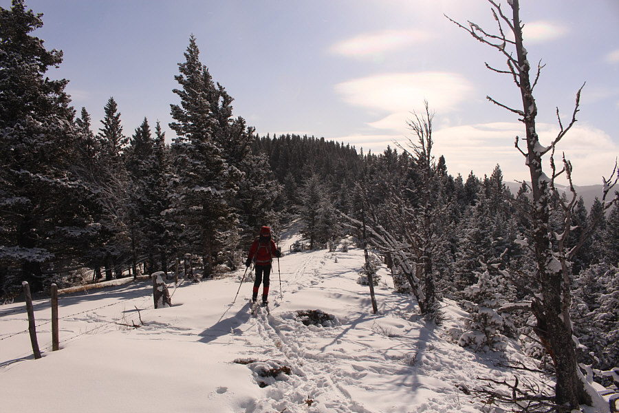
The second gate marks the boundary for Black Creek Heritage Rangeland.

The snow is a bit thin here but still skiable.

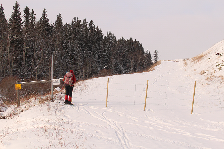
Zosia heads for the obvious notch at left which is the usual access point for Black Mountain's south ridge.


We're making some good progress here!

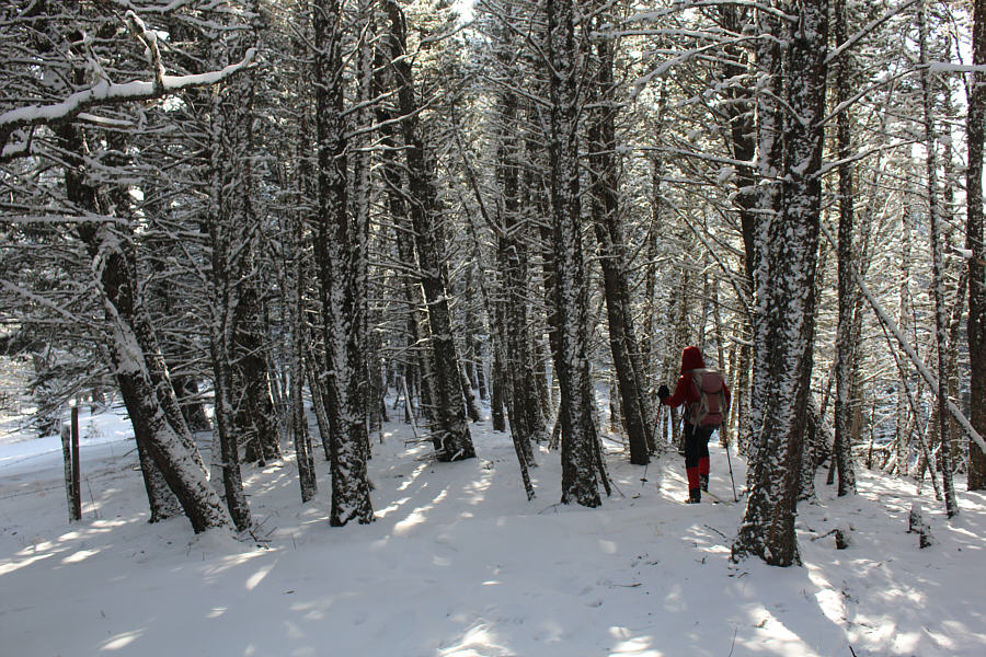
Snow coverage improves as Zosia enters forest just before the notch.

Time to put on our climbing skins!

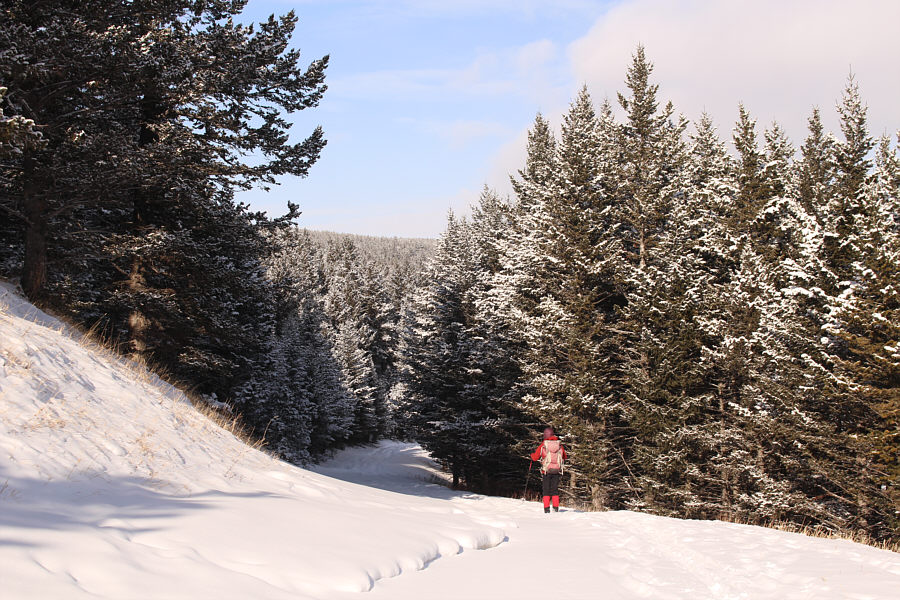
Leaving the road at a fourth gate, Zosia climbs steeply up the south ridge of Black Mountain.

And the snow was pretty good here too! Several glades such as this one break up the monotony of the forested ridge.
Frozen dinner anyone?

Zosia finds the remains of an ungulate buried in the snow here.

Warning: The fence logs aren't very secure... 
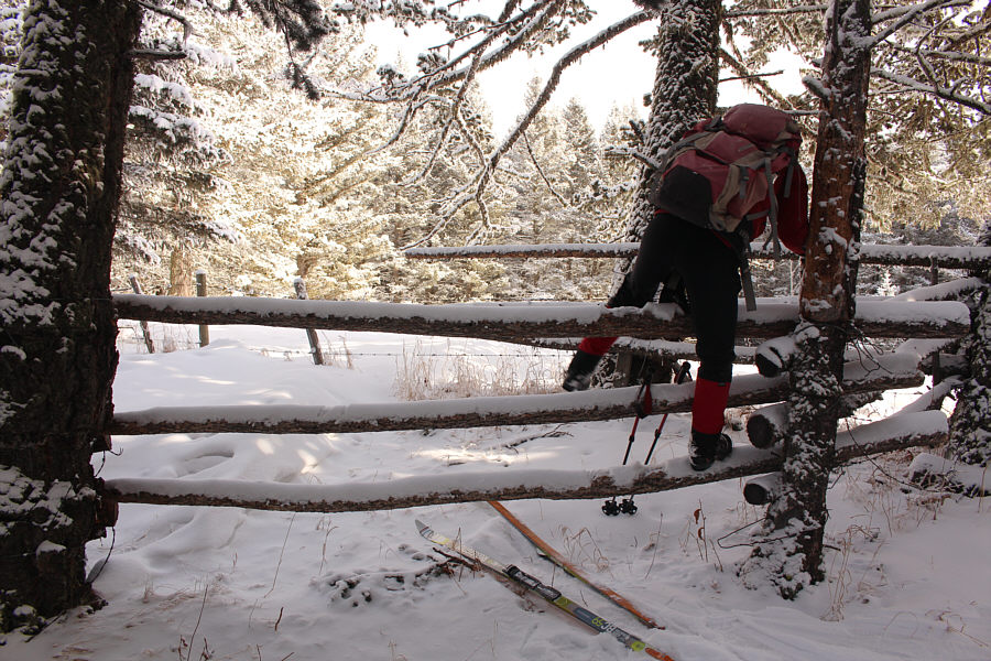
Zosia hops over an old wooden fence not far from the summit.
I think the summit cairn is made of cow dung... Zosia and Sonny huddle together on the summit of Black Mountain (1671 metres).
Meh. 
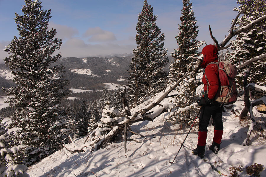
An opening along the ridge north of the summit grants some limited views of Whaleback Ridge to the west.
Sorta worth it, sorta not! Zosia skis about 250 metres north of the summit which is the forested bump behind her.
Enchanting, isn't it? Trees plastered with snow make up for the lack of far-reaching scenery on Black Mountain.
Best skiing of the day right here! Zosia cruises back down the road near the south end of Black Mountain.

Sure, they're not as rugged as main range peaks, but I find these front range hills charming.

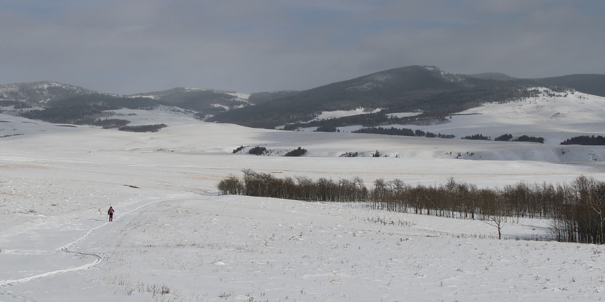
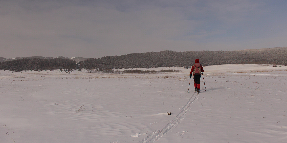
Porcupine Hills stretch across the horizon as Zosia skis back along the approach road.


Not worth scratching up the ski bases or taking a nasty tumble!

Due to thin snow coverage here, Sonny walks the last few hundred metres before the highway.

Photo courtesy of Zosia Zgolak
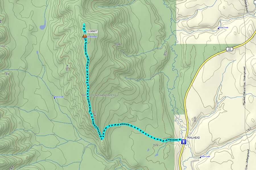
Not destined to be a classic ski ascent, but it's definitely doable! Total Distance:  10.2 kilometres
Round-Trip Time:  4 hours 50 minutes
Net Elevation Gain:  346 metres

GPX Data