
Aga, Shaun and Wil wait as Daniel and Zosia consult the map at the trailhead in West Bragg Creek.

Boundary Ridge is actually part of the Trans Canada Trail network.


|
|
Aga, Shaun and Wil wait as Daniel and Zosia consult the map at the trailhead in West Bragg Creek. |
|
|
Boundary Ridge is actually part of the Trans Canada Trail network. |
|
|
Daniel, Shaun and Aga ascend Boundary Ridge trail which barely has adequate snow coverage for skiing on this day. The trail is probably more popular with hikers and mountain bikers. |
|
|
Convenient maps are located at all important junctions throughout the West Bragg Creek trail network. |
|
|
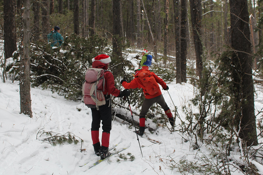
A recent windstorm in the area forces the group to circumvent or step over blowdown. |
|
|
Aga and Zosia resort to carrying their skis due to the abundance of blowdown choking the trail. |
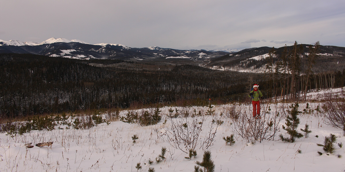
Far-reaching views open up behind Aga with Moose Mountain visible at far left.
 |
The sun briefly makes an appearance over Boundary Ridge. |
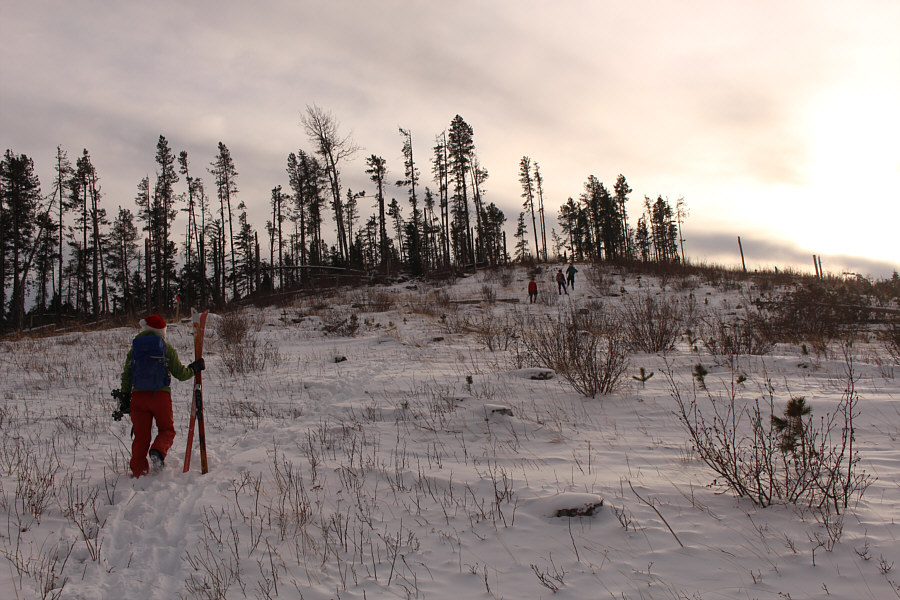 |
The top of Boundary Ridge is just ahead. |
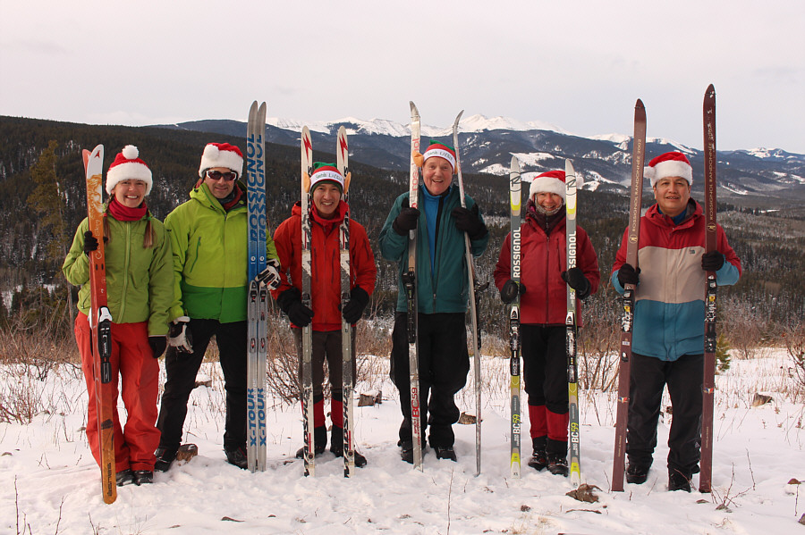 |
Standing near Boundary Ridge's high point (1608 metres) are Aga, Daniel, Shaun, Wil, Zosia and Sonny. |
 |
The group follows a cut block down the south end of Boundary Ridge. At centre in the distance is McLean Hill. |
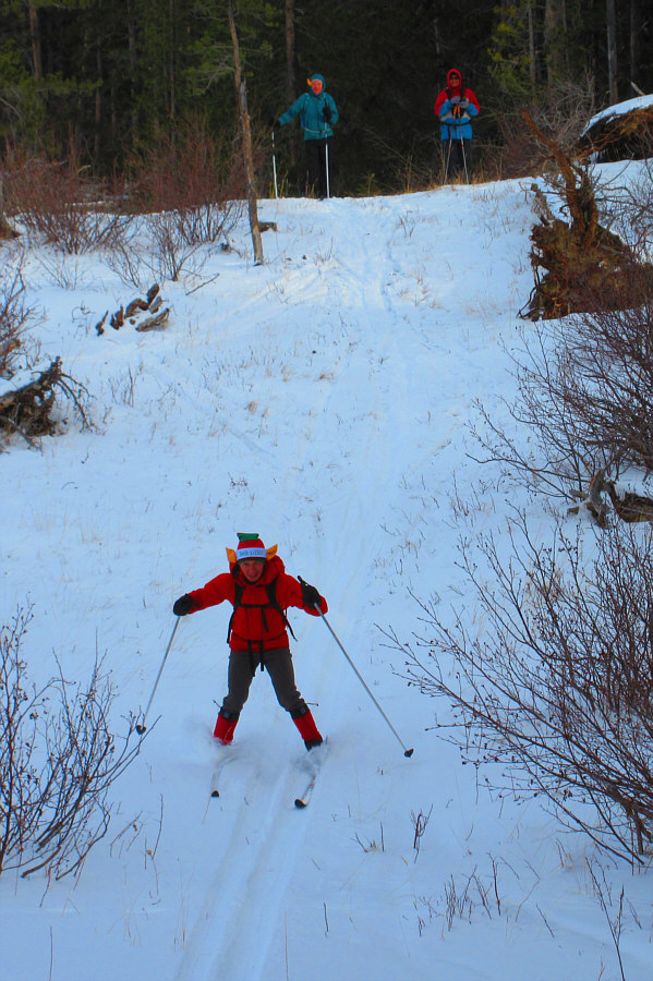 |
Wil and Sonny wait their turn as Shaun zips down a steep hill. Photo courtesy of Zosia Zgolak |
 |
The thin snow coverage does not deter anyone from skiing down this slope. |
 |
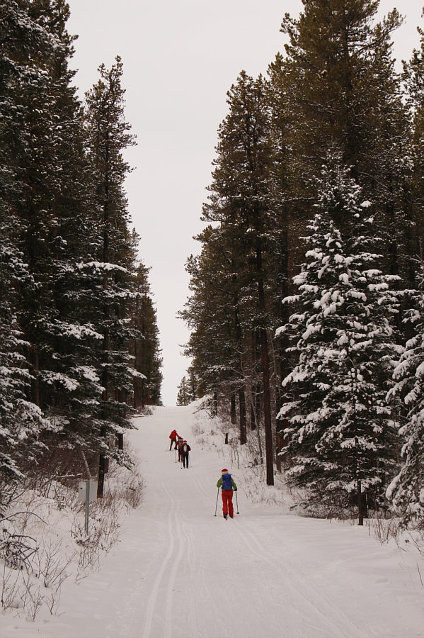
The group returns to civilized skiing on Iron Springs trail. |
 |
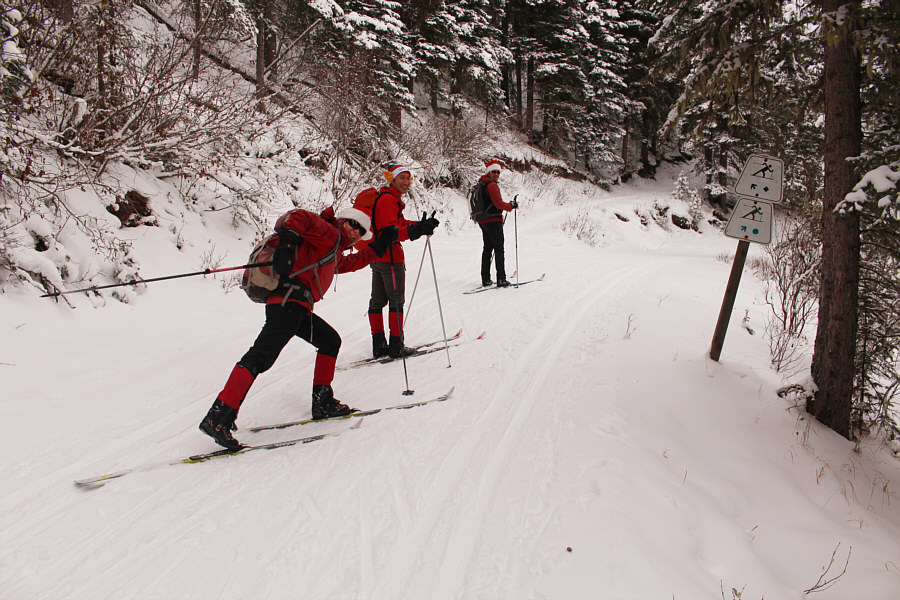
The group herringbones up a short but steep connector between Iron Springs trail and Elbow trail. |
 |
The group heads north along Elbow trail. |
 |
At a split in the trail, Zosia, Shaun and Daniel wait for Wil who will decide which way they will go. |
 |
From the split, Wil follows Aga up the more difficult trail. |
 |
Aga picks up speed coming out the other end of the split. |
 |
Zosia, Daniel, Aga, Wil and Sonny partake in an après-ski at the Powderhorn Saloon in Bragg Creek. Photo courtesy of Zosia Zgolak |
 |
Total
Distance: 10.1 kilometres Round-Trip Time: 4 hours 37 minutes Net Elevation Gain: 200 metres |