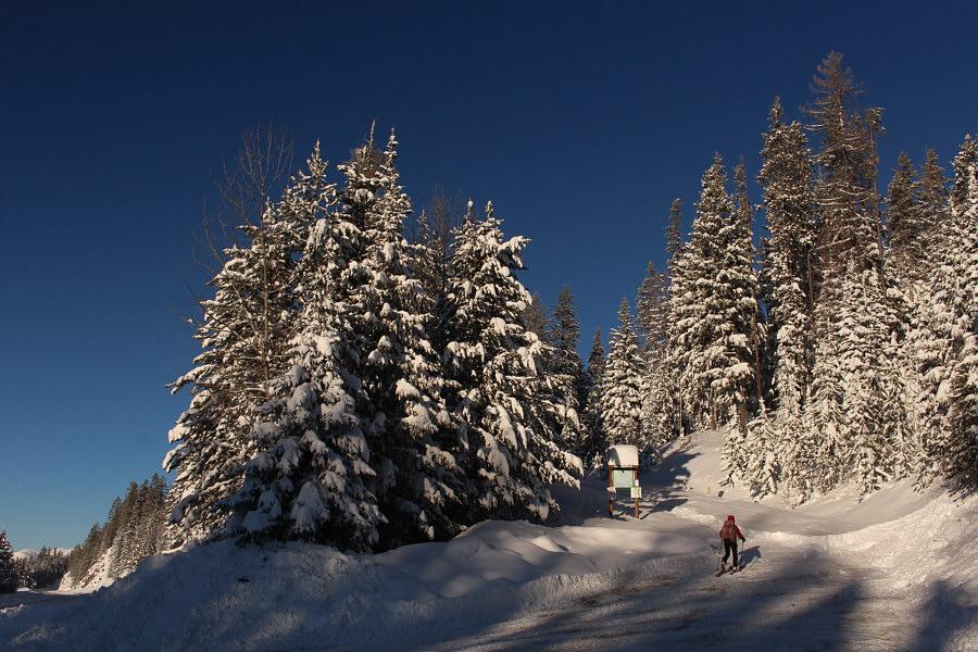
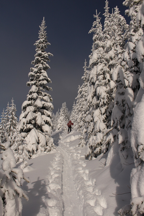
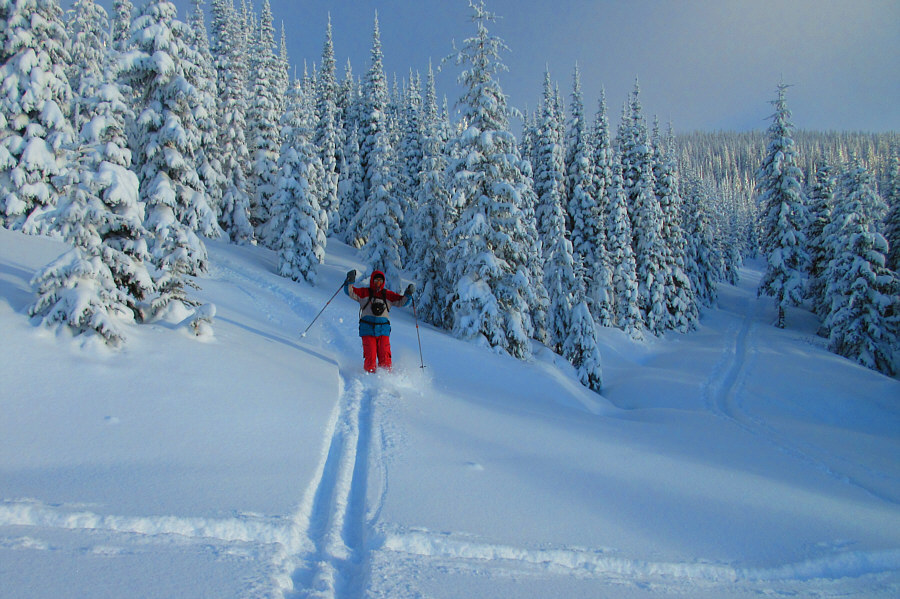
Zosia starts climbing up "Crowe Road" from the trailhead.
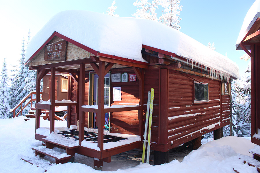
Red Dog Cabin (1693 metres) is located along "Moe's Road".


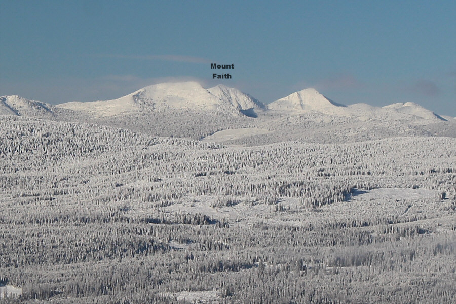
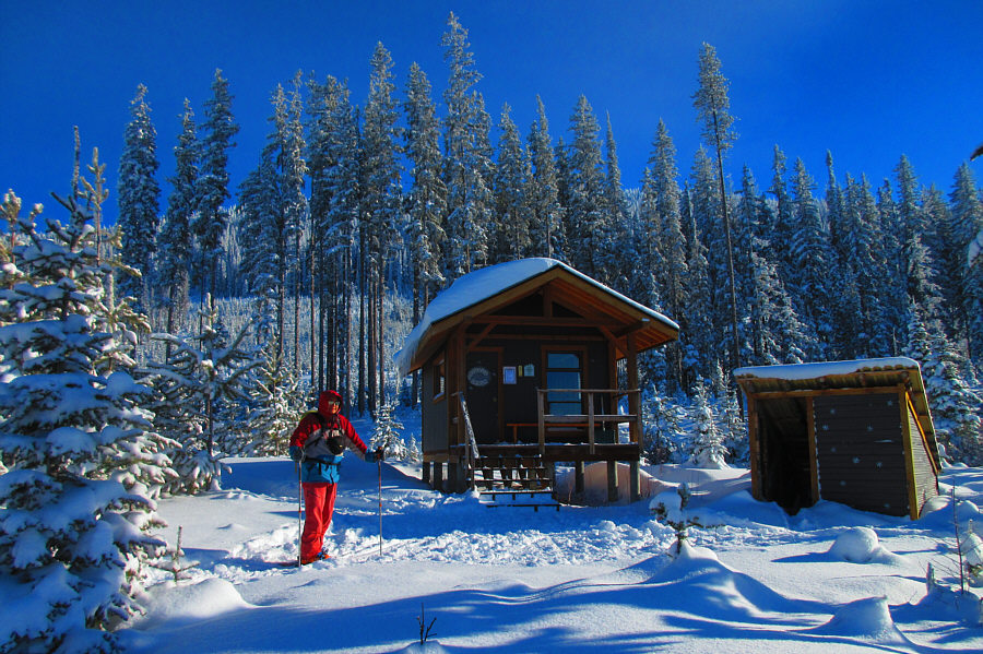
Photo courtesy of Zosia Zgolak
|
|
Zosia starts climbing up "Crowe Road" from the trailhead. |
|
|
Red Dog Cabin (1693 metres) is located along "Moe's Road". |
|
|
The upper slopes of Mount Crowe are revealed as Zosia climbs up "Merry Trail". |
|
|
Mount Gladstone stands out on the western horizon. |
|
|
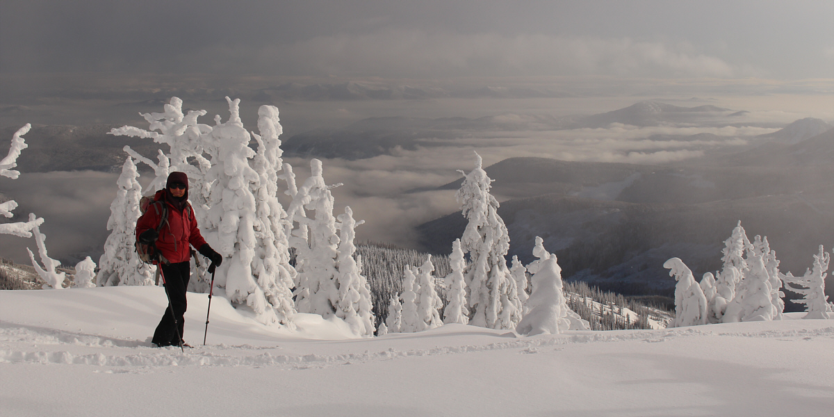
Visible to the northwest is the highest point of Gladstone Provincial Park. |
|
|
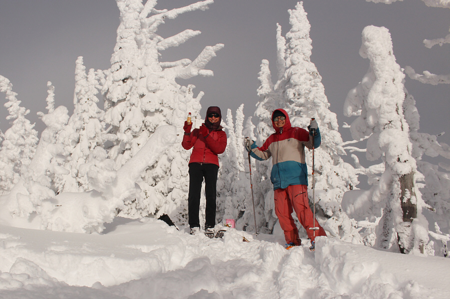
Sonny arrives at Mosquito Cabin (1761 metres)
located at the junction of "Merry Trail" and "Kim's Way". Photo courtesy of Zosia Zgolak |
|
|
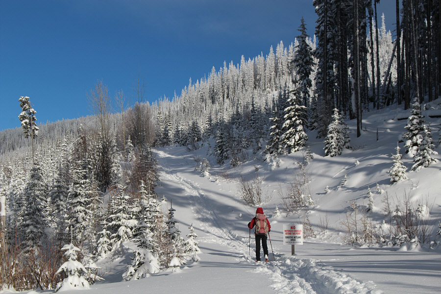
Zosia heads up a continuation of "Crowe Road" past a sign prohibiting motorized vehicles. |
|
|
Turning off "Crowe Road", Zosia has to break trail going up "Cliff Road". |
|
|
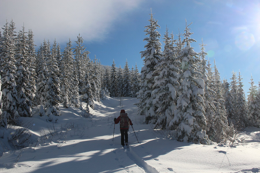
The snow-covered trees along "Cliff Road" make for a scenic ascent. |
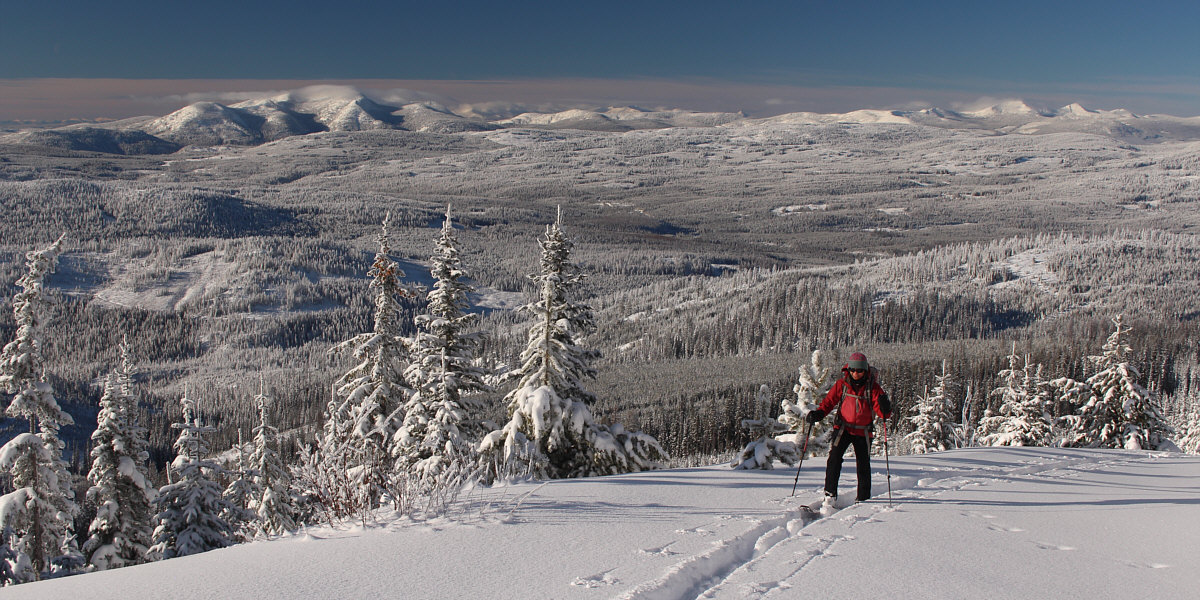
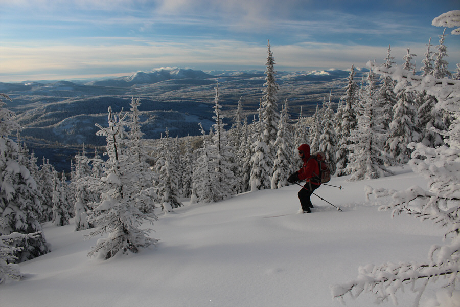
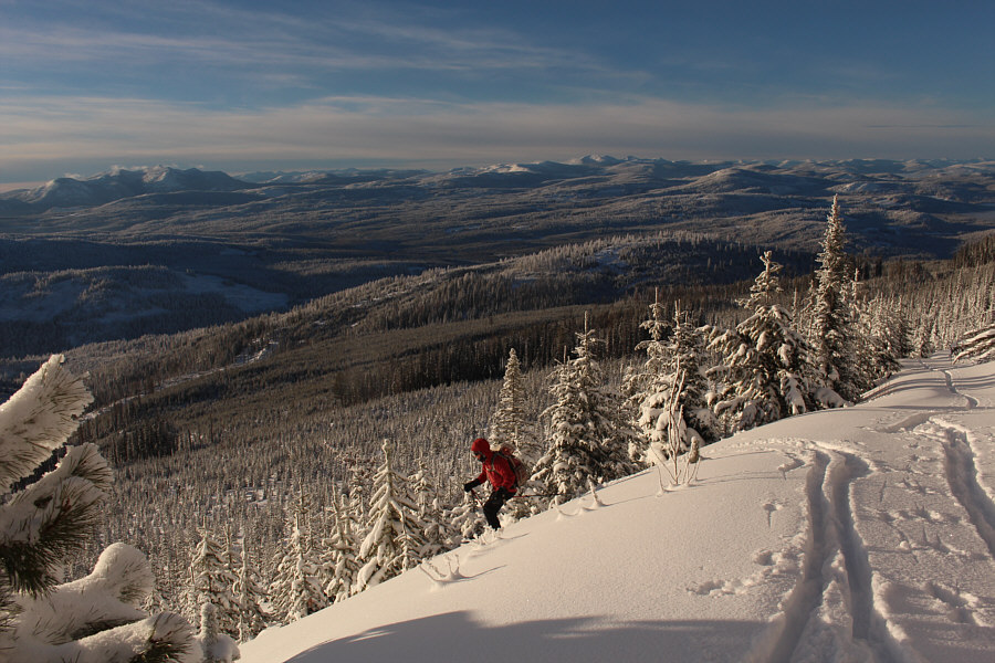
Panoramic views open up behind Zosia as she climbs higher up "Cliff Road".
 |
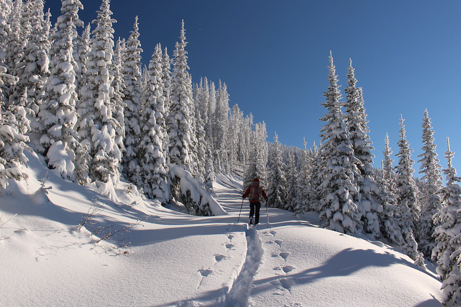
Picking up a broken trail again makes it easy to ascend the upper mountain. |
 |
Zosia zigzags up the north ridge of Mount Crowe. |
 |
Zosia and Sonny reach the true summit of Mount Crowe (2152 metres). |
Clouds dance among the peaks and ridges visible to the southeast.
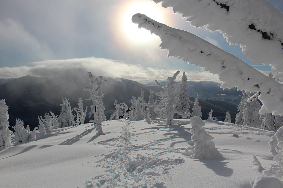 |
Another skier and his dog can be seen preparing to ski down the south side of Mount Crowe. |
 |
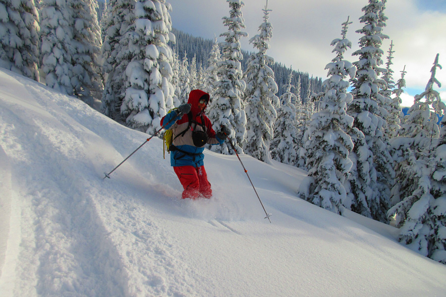
Zosia skis down the north ridge of Mount Crowe. |
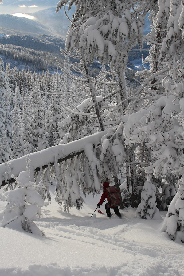 |
Zosia ducks under a fallen tree while skiing down the northwest slope of Mount Crowe. |
 |
Sonny dances effortlessly through the fresh powder. Photo courtesy of Zosia Zgolak |
 |
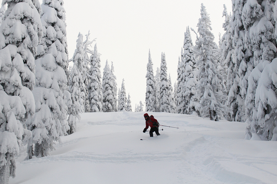
The trees are nicely spaced out here to allow easy maneuvering. |
 |
Sonny emerges from the trees and momentarily regains "Cliff Road". Photo courtesy of Zosia Zgolak |
 |
Zosia leaves "Cliff Road" to take a more direct line down the slope. |
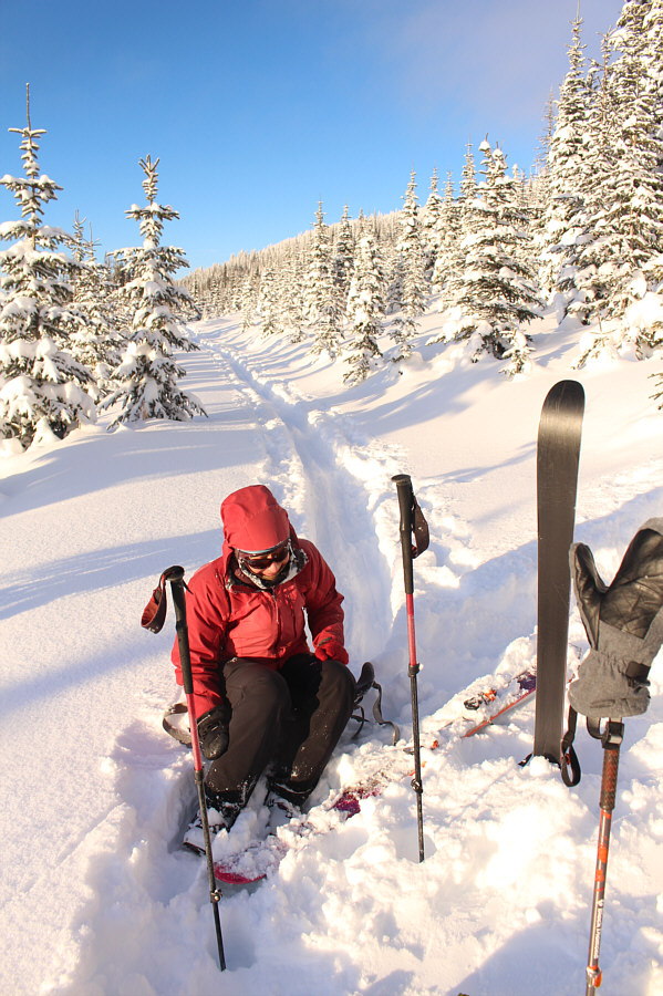 |
Zosia takes a moment to collect herself after injuring her right calf when she inadvertently crashed into a hidden ditch beside "Crowe Road". |
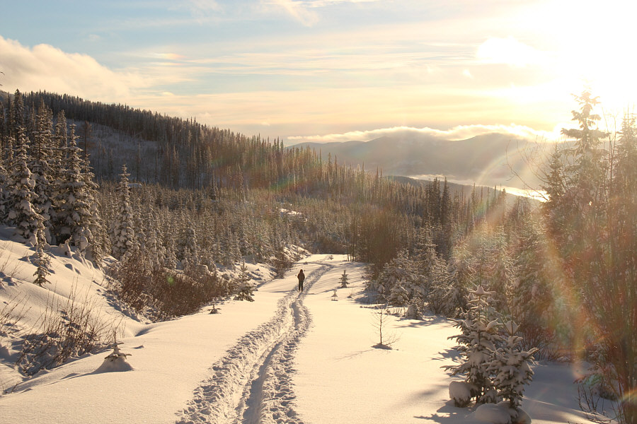 |
Zosia continues skiing down "Crowe Road" and would eventually make it back to the trailhead despite a lot of pain in her right leg. |
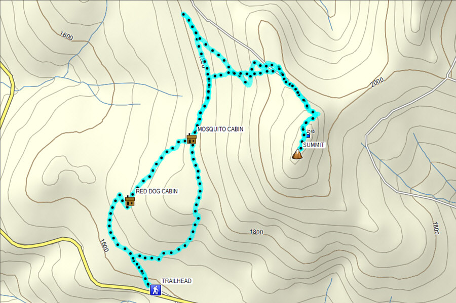 |
Total
Distance: 12.1 kilometres Round-Trip Time: 6 hours 25 minutes Net Elevation Gain: 543 metres |