Leaving the top of Moose Mountain North Peak, Daniel, Aga, Zosia and I dropped back down to the wellsite, but instead of climbing back up JP4, we followed the wellsite's access road to the northwest for about 1.5 kilometres. Where the road begins to drop and turn away to the north, we abandoned it and thrashed our way uphill to regain the ridge crest somewhere between JP3 and the weather vane. The bushwhacking here was a little unpleasant but thankfully short-lived. The remainder of our hike back over JP2, JP1, and Jumpingpound Mountain was wearying but uncomplicated, and the final descent to the trailhead was quick and uneventful.
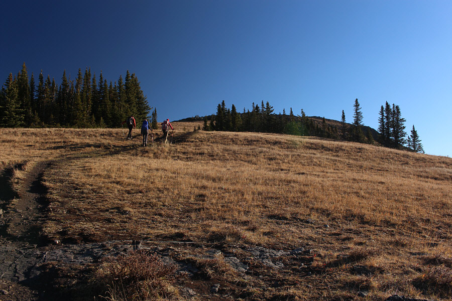 |
After climbing up through viewless forest, the group breaks out of the trees just below the top of Jumpingpound Mountain. |
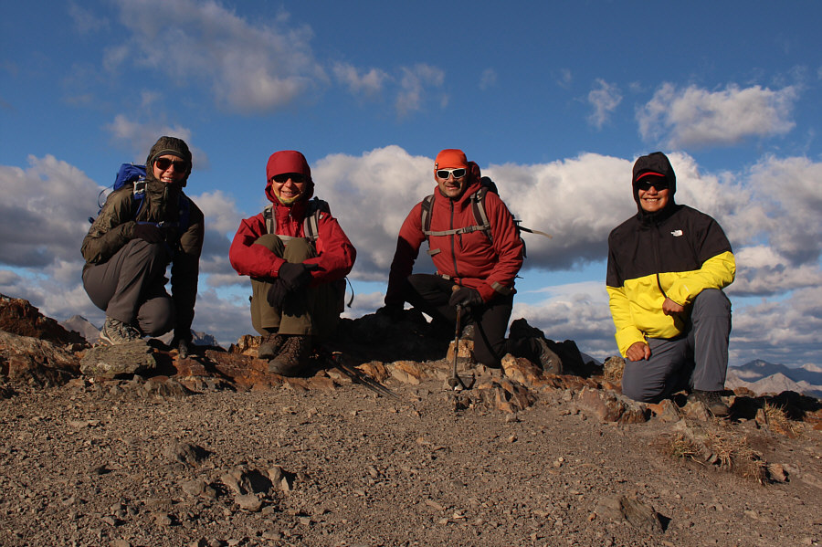 |
Aga, Zosia, Daniel and Sonny stay low on the summit of Jumpingpound Mountain (2241 metres) to avoid getting blown over by the strong wind. |
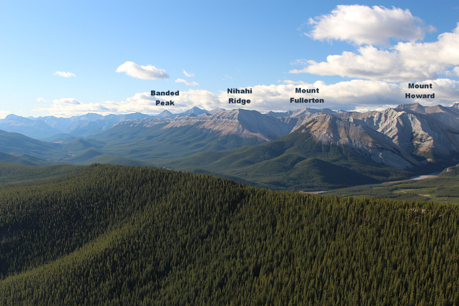 |
This is looking south from the summit of Jumpingpound Mountain. |
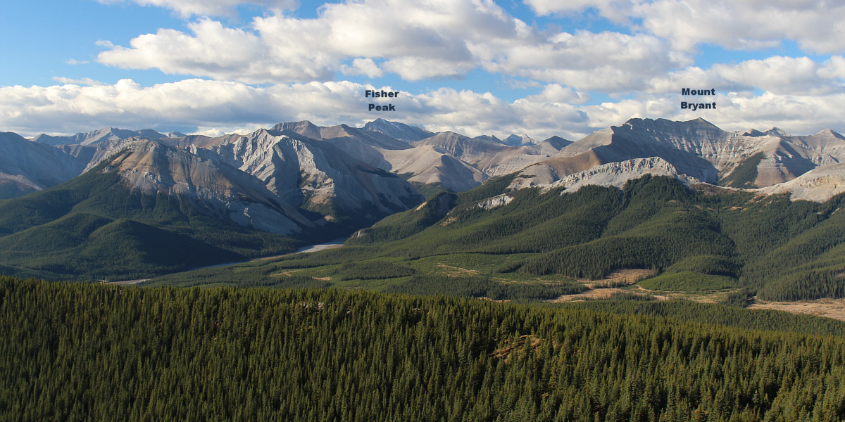
Here is the view to the southwest.
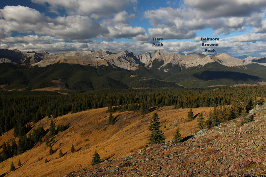 |
The northern half of the Fisher Range spans the western horizon. |
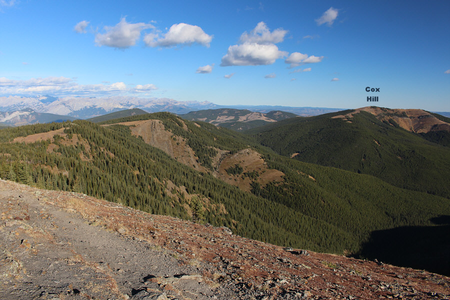 |
Similar ridges stretch away to the north. |
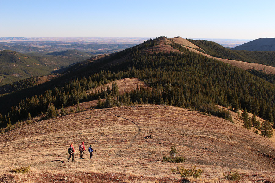 |
The group heads for the first of four intervening high points between Jumpingpound Mountain and Moose Mountain North Peak. |
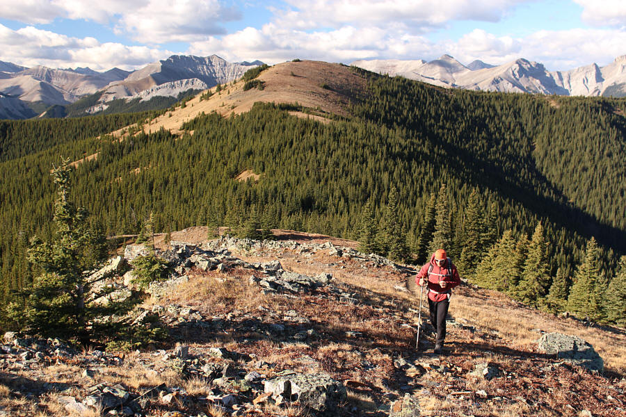 |
This is looking back at Jumpingpound Mountain from near the top of the first high point (JP1; 2200 metres). |
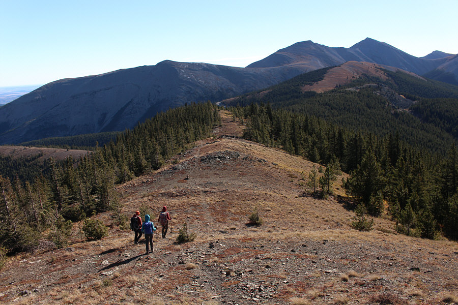 |
The group carries on to the next high point (JP2; 2200 metres) along the ridge crest. Moose Mountain is visible in the distance at upper right. |
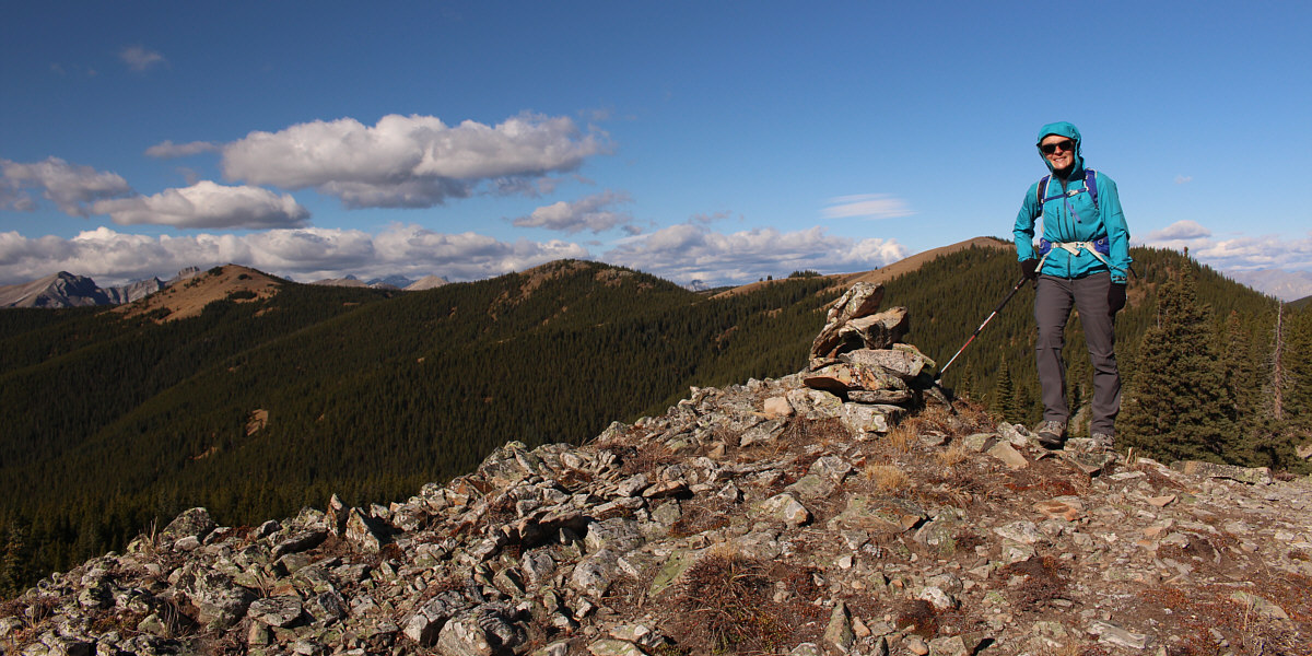
Aga stands beside a cairn near the third high point (JP3; 2130 metres). Jumpingpound Mountain (far left), JP1 (centre), and JP2 (right) are visible in the background.
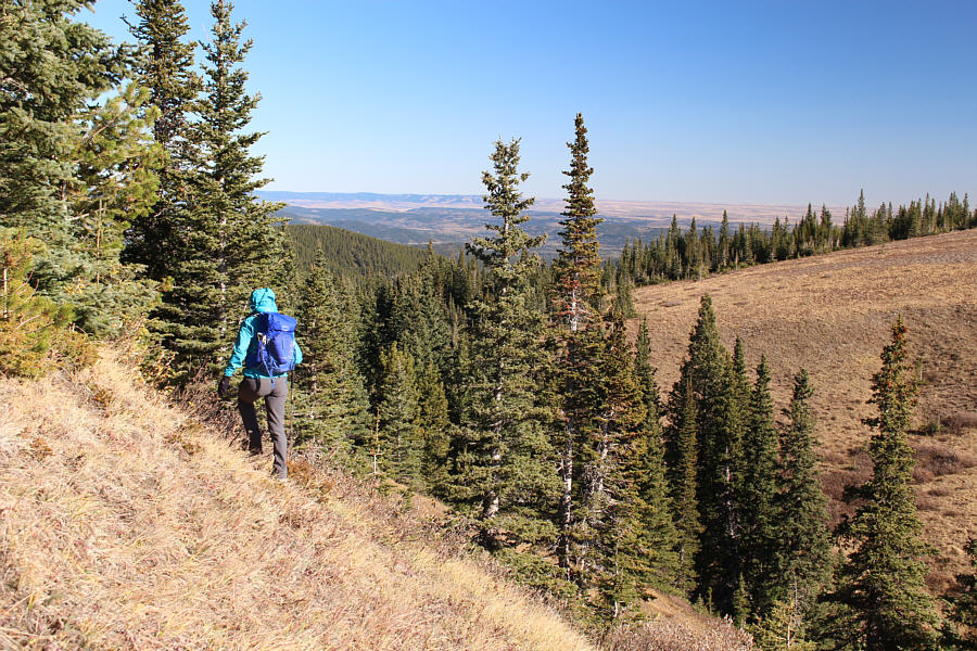 |
Aga drops down to a dip just beyond JP3. |
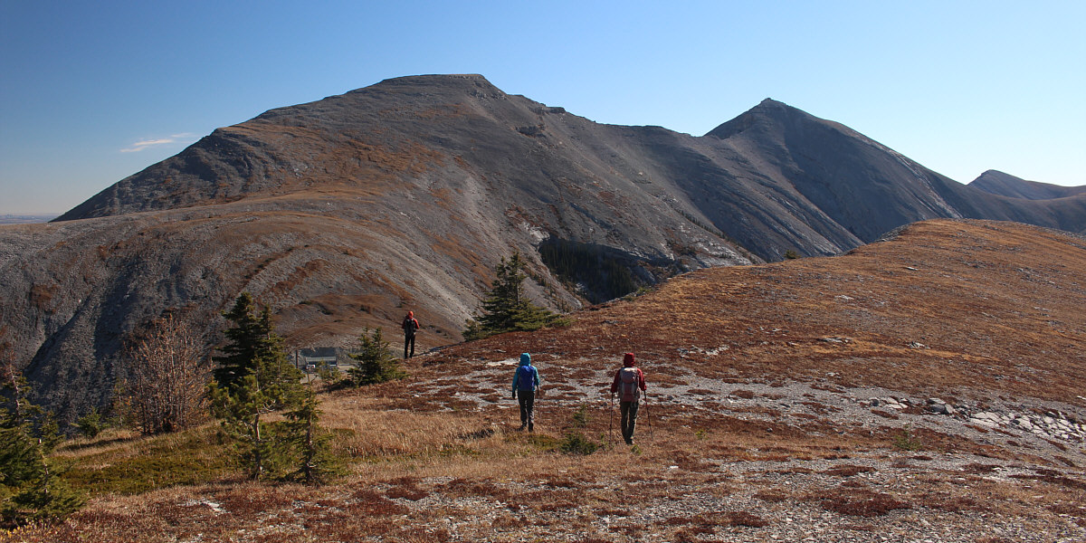
On their way to the top of the fourth high point (JP4; 2201 metres) at far right, Daniel, Aga and Zosia get their first good look at Moose Mountain North Peak (left of centre)..
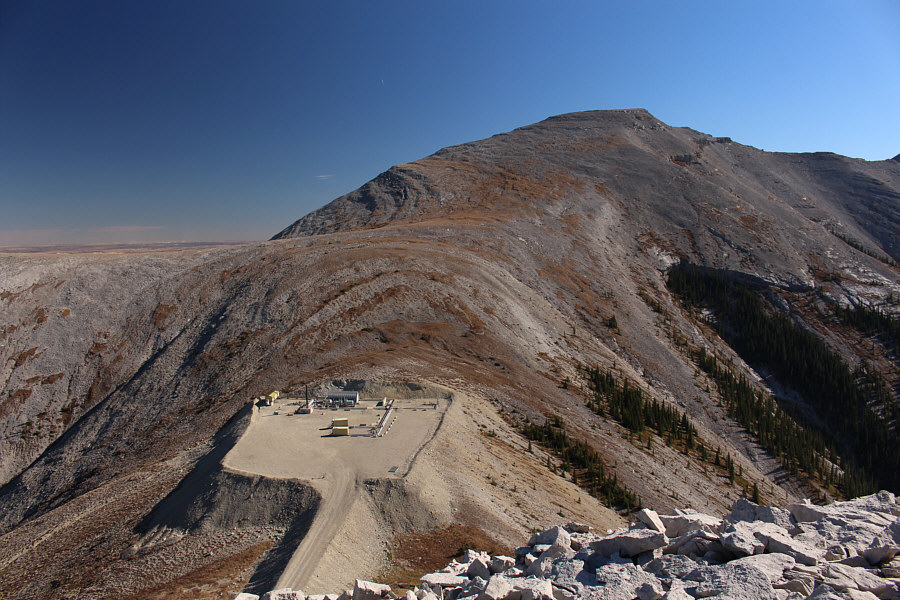 |
A wellsite occupies the col between JP4 and Moose Mountain North Peak. |
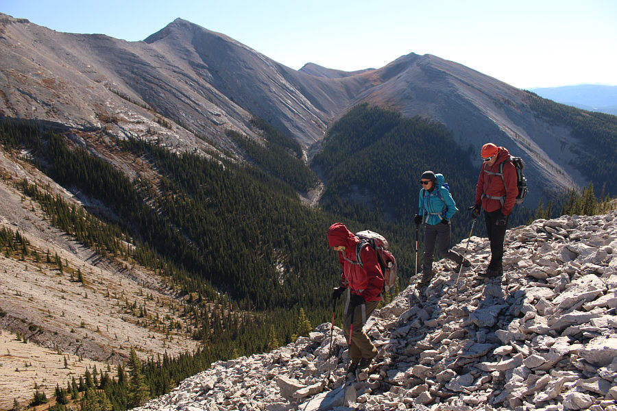 |
Zosia, Aga and Daniel begin descending a steep rubble slope on the east side of JP4. |
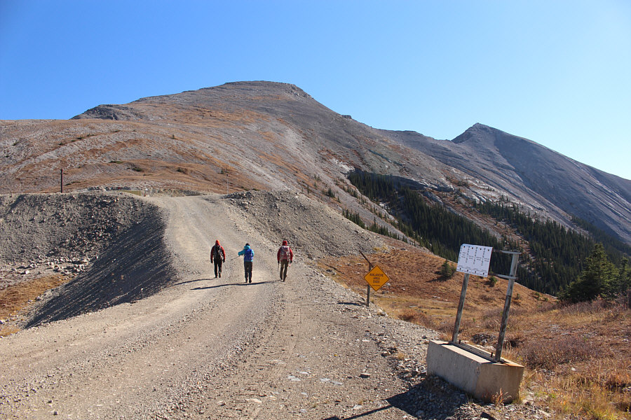 |
After dropping down from JP4, the group walks up the access road to the wellsite. |
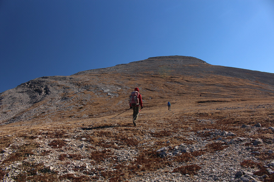 |
Zosia, Aga, and Daniel climb up the west slope of Moose Mountain North Peak. |
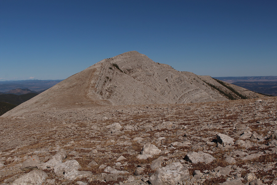 |
Gillean Daffern calls this the "north- north summit". |
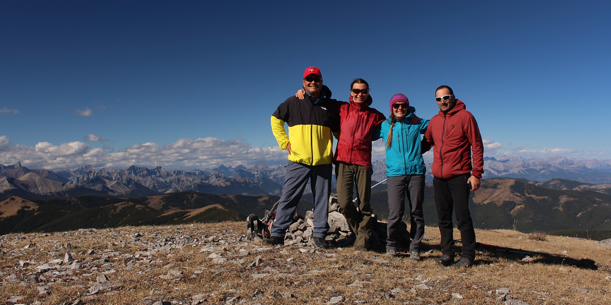
Sonny, Zosia, Aga and Daniel stand atop Moose Mountain North Peak (2378 metres).
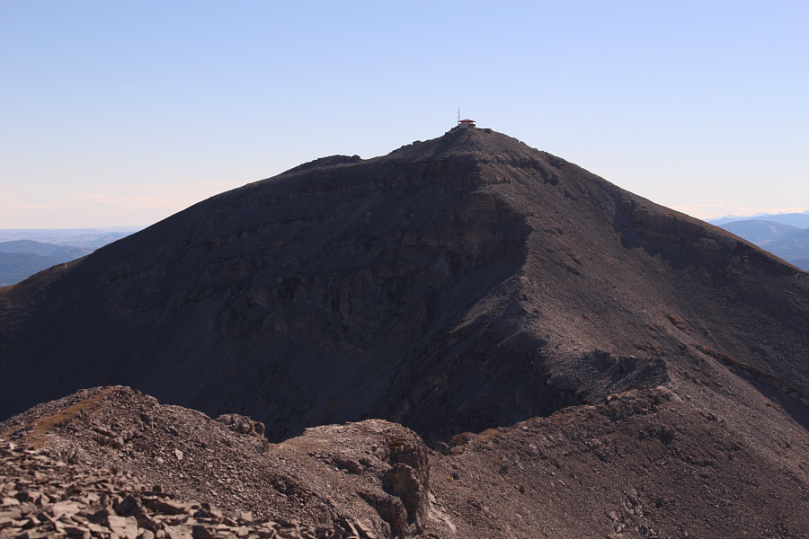 |
Here is the connecting ridge to the true summit of Moose Mountain. |
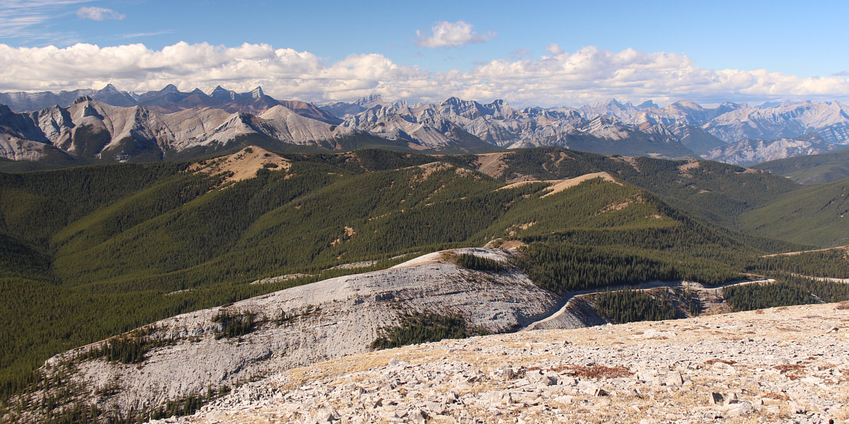
Here is a comprehensive view of the entire route from Jumpingpound Mountain (left).
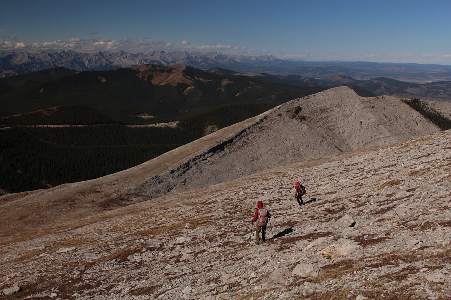 |
Zosia and Daniel descend the west slope of Moose Mountain North Peak. |
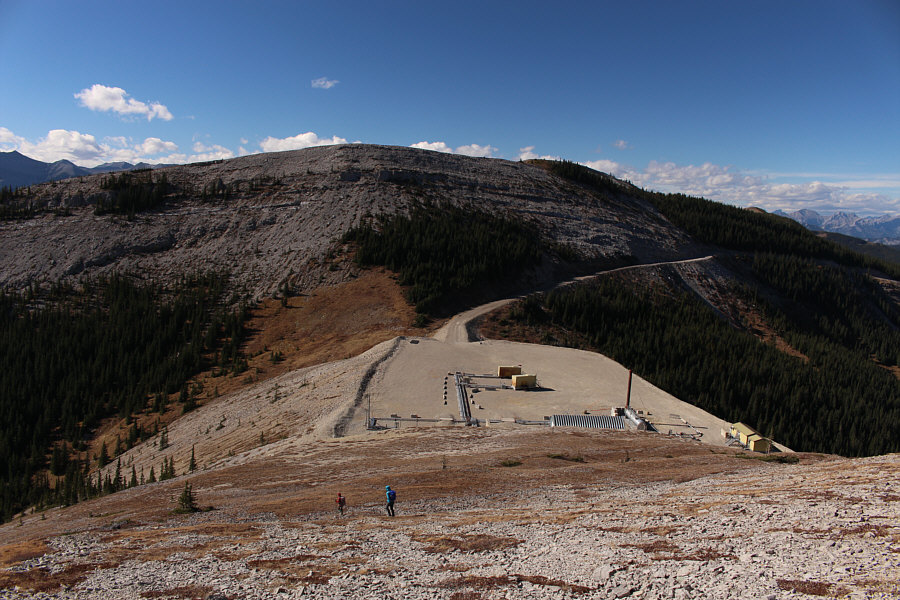 |
Zosia and Aga descend to the wellsite with JP4 on the far side of the col. |
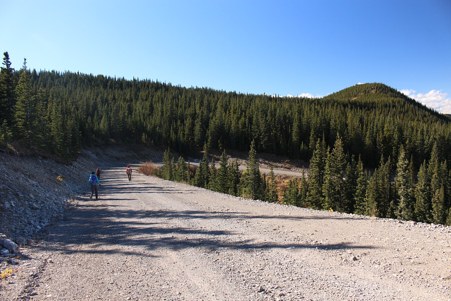 |
Aga, Daniel and Zosia hike part of the wellsite access road in order to bypass JP4 and JP3. At far right is JP2. |
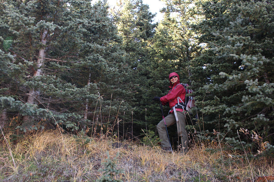 |
Zosia prepares to bushwhack to get back to the ridge crest. |
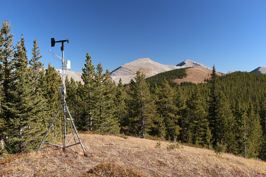 |
Here is a glance back at Moose Mountain North Peak (centre) from a weather vane on the ridge crest just east of JP2. |
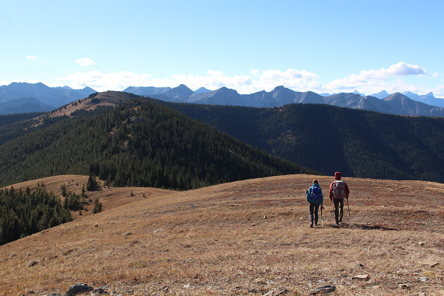 |
Aga and Zosia leave the top of JP1 and are returning to Jumpingpound Mountain (left). |
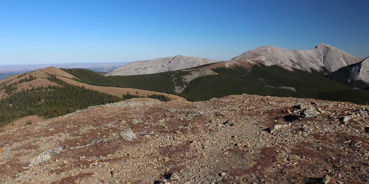
From near the summit of Jumpingpound Mountain, here is another comprehensive view of the entire route to Moose Mountain North Peak (right).
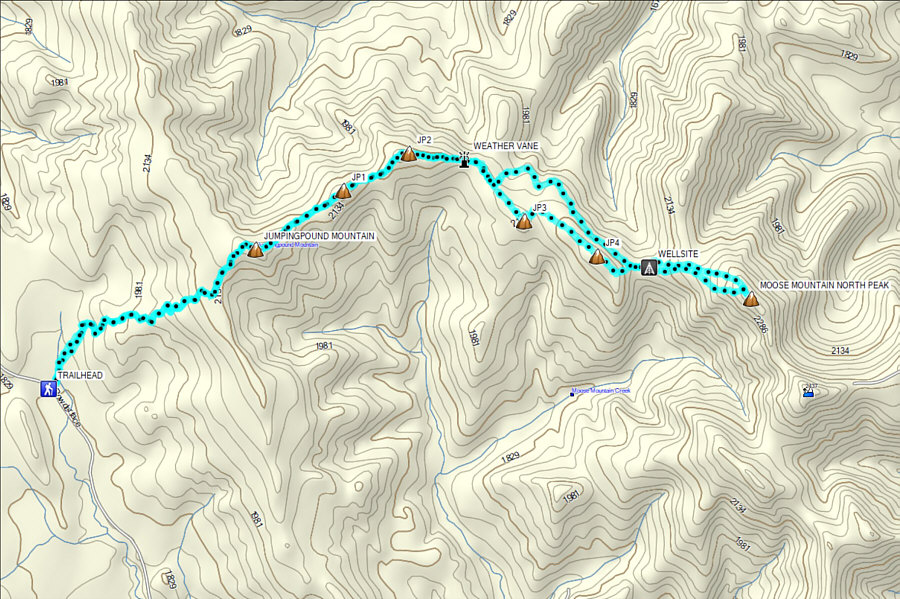 |
Total
Distance: 18.9 kilometres Round-Trip Time: 8 hours 22 minutes Cumulative Elevation Gain: ~1366 metres |