BOU AVENUE
McBride Peak
Kicking off our summer vacation road trip,
Zosia Zgolak and I hooked up with Eva Nagyova near McBride, British
Columbia (BC) on 1 August 2021 and hiked up the town's namesake peak. A
very straightforward ascent route is described in numerous online sites
including probably the most definitive one by the
Caledonia
Ramblers based out of Prince George. The crux of the trip is
the long approach along a forestry service road (FSR).
From the intersection with Main Street/Bridge Road in McBride, drive
east along Highway 16 for 2.3 kilometres and turn left onto Mountainview
Road. Drive for about 600 metres before turning right onto Rainbow
Road. Drive another 400 metres and turn left onto the McBride Peak
FSR. The first 5.5 kilometres of this road to
the Halfway Viewpoint Recreation Site (outhouse and shelter) is generally
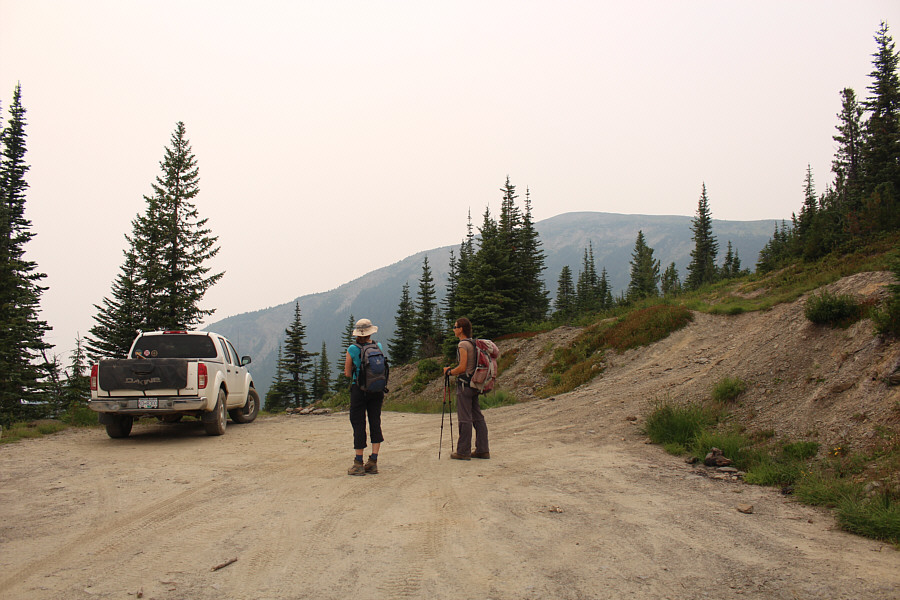
good and should be suitable for most 2WD vehicles. High-clearance
vehicles can perhaps continue for an additional 4.6 kilometres to an
upper parking area near some telecommunication installations while a 4WD
vehicle is definitely needed in order to reach an abandoned fire lookout
in about another 900 metres.
Leaving Eva's minivan at the start of the FSR, I drove all of us up to
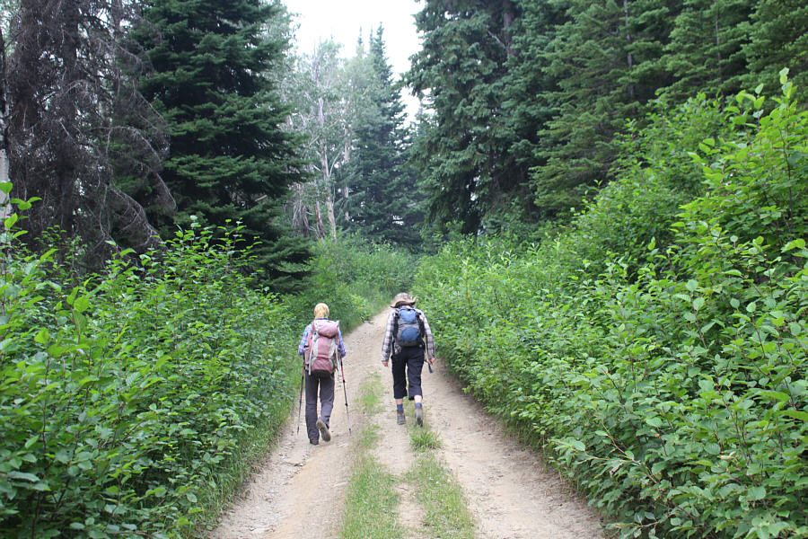
the recreation site in my Honda CR-V without any problems. A heavily
rutted section of road just beyond the recreation site forced us to walk from
there, but we would later see other vehicles at both the upper parking
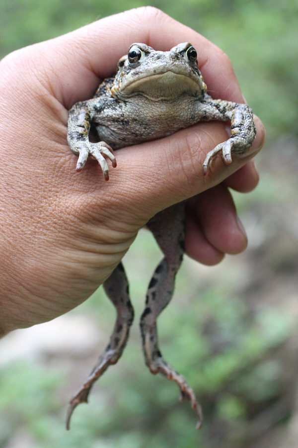
area and the fire lookout. Other than having to fend off annoying
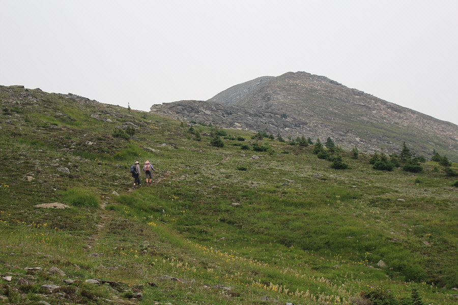
mosquitoes, we had no problems walking up the remainder of the FSR, and
despite the mundane hiking here, it was a good opportunity for Zosia and
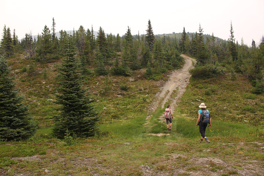
me to socialize and catch up with Eva. From the upper parking area,
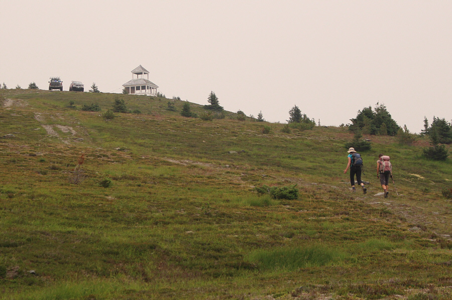
we followed a much rougher road which climbs through the last trees and
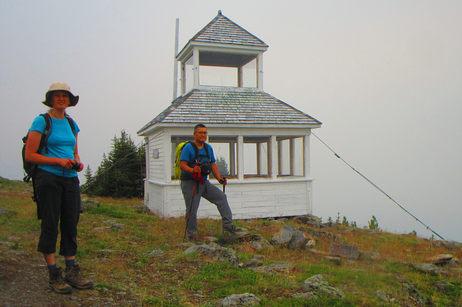
enters sub-alpine meadows before ending at the fire lookout. Like
many other abandoned fire lookouts throughout BC, locals have done a
wonderful job of restoring the structure and converting it into a
convenient public shelter.From the
lookout site, Eva, Zosia and I picked up a good trail which heads east
for a little more than five hundred metres before reaching a junction
marked by a large cairn. Turning left, we followed the easy trail
which runs up the south ridge of McBride Peak all the way to the summit.
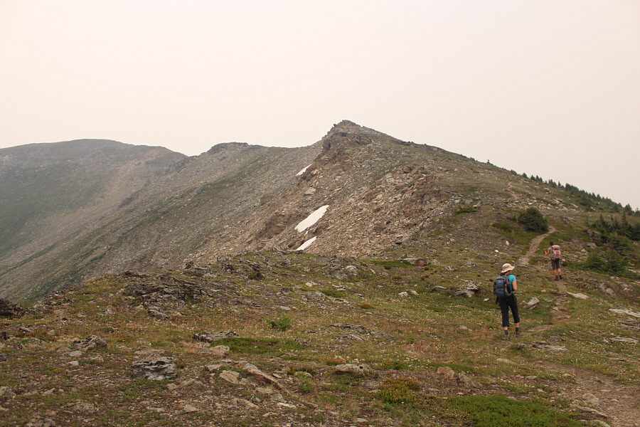
While wildfire smoke obscured all far-reaching views on this day, we
could still see a higher bump further north which looked easy enough to
reach. After snapping a quick photograph on the summit of McBride
Peak, we continued hiking along the connecting ridge to the higher bump,
and as expected, we had no difficulties reaching it. There are
actually two distinct bumps here of roughly equal height, and both are
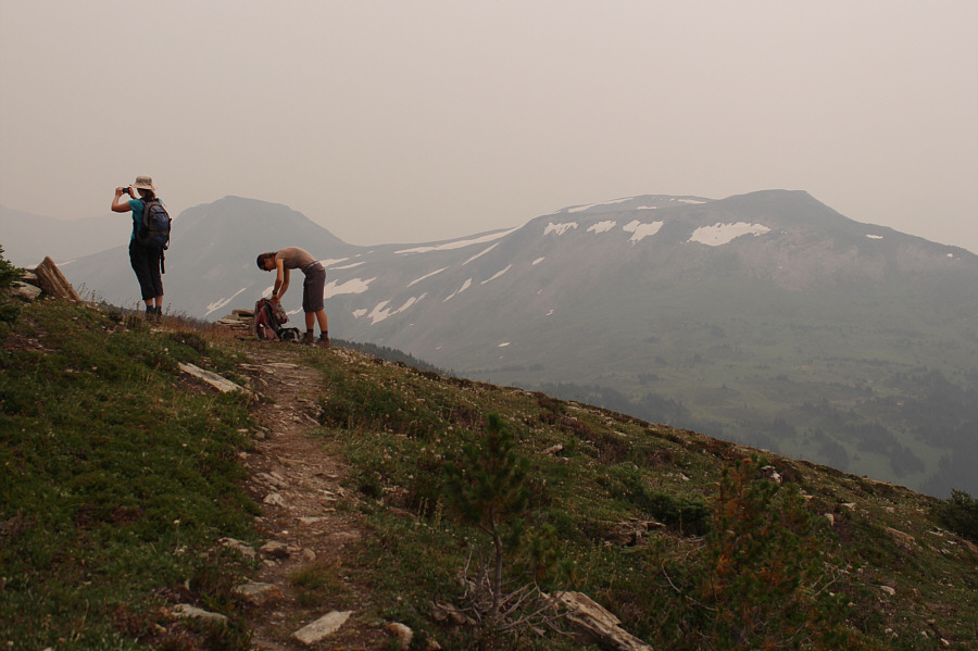
definitely higher than the gazetted summit of McBride Peak. While
the panorama did not improve all that much, we did get some tantalizing
views further north of a spire known as The Blackwater Tusk.
After tagging both bumps, Eva, Zosia and
I simply retraced our steps back over McBride Peak and down to the
recreation site without any issues. We subsequently drove back down
the FSR to pick up Eva's minivan before rendezvousing one last time at a
gas station in McBride. Parting ways with Eva (she was heading to
Clearwater), Zosia and I drove westward to carry on with our road trip.
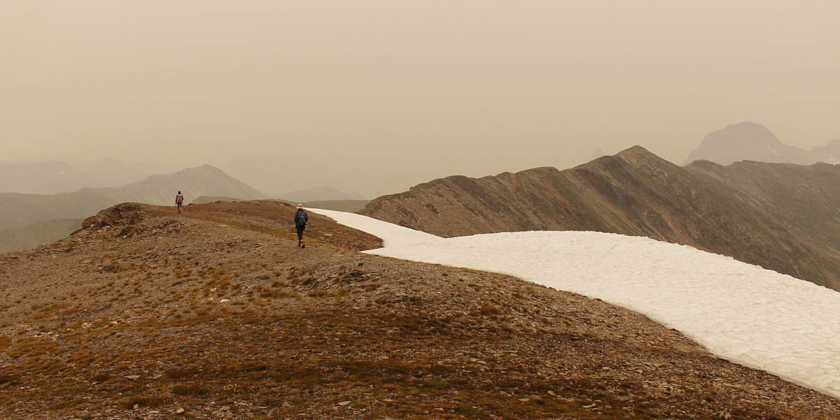
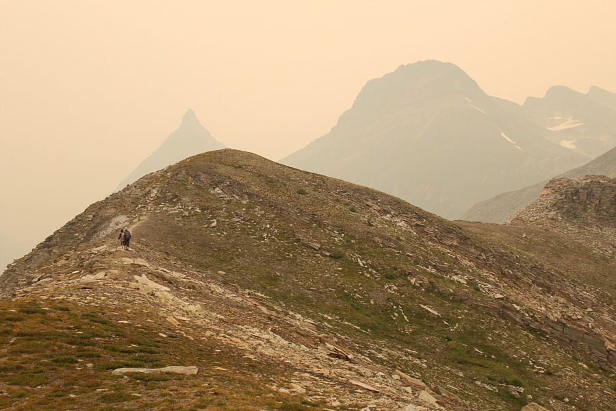
Zosia and Eva head for an unnamed high point (right)
further along the ridge.
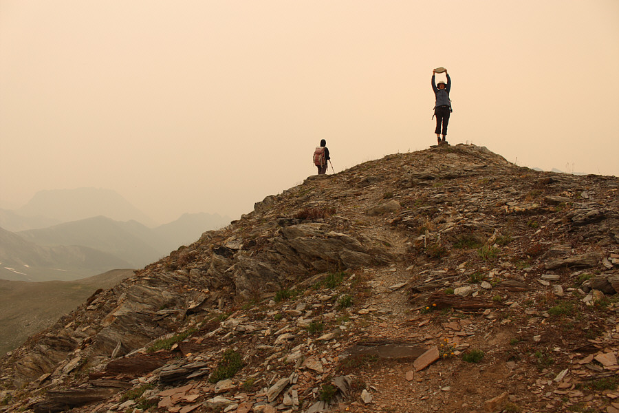 |
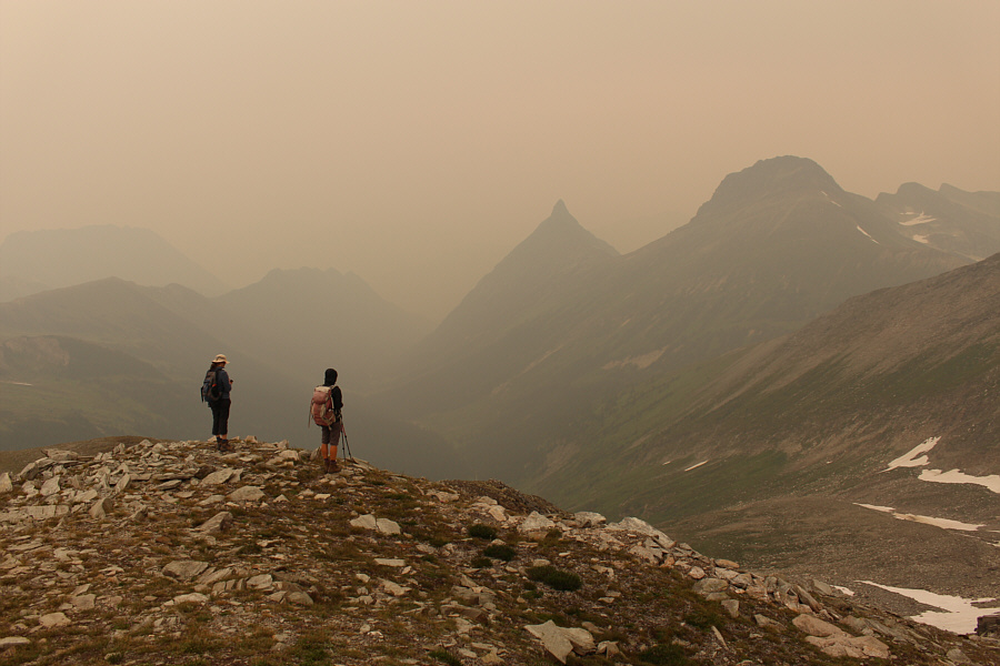
Zosia and Eva reach the unnamed high point (2279 metres) which is higher
than the gazetted summit of McBride Peak. |
 |
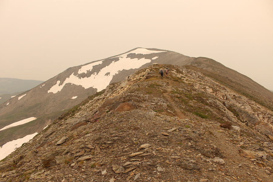
Zosia and Eva hike to yet another unnamed high point a little further
along the ridge. |
 |
The Blackwater Tusk (right of centre) still looks impressive despite the
smoky haze. Further right is unofficially-named Congregational
Peak. |
 |
Eva and Zosia head back to McBride Peak which still has snow
clinging to its northeastern aspect. |
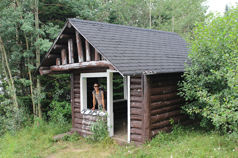 |
Zosia checks out a rustic shelter at the Halfway Viewpoint Recreation
Site. |
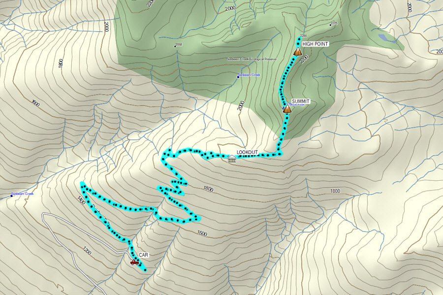 |
Total Distance: 16.0 kilometres
Round-Trip Time: 6 hours 56 minutes
Cumulative
Elevation Gain: 1045 metres
GPX Data |