BOU AVENUE
Mount Solomon
Wrapping our post-Christmas road trip, Zosia
Zgolak and I hiked up Mount Solomon just west of Hinton, Alberta on 2
January 2021. The trail going up Mount Solomon is maintained by
staff from nearby Black Cat Guest Ranch and is described on their
website.
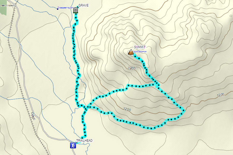
The trailhead is also located just outside the ranch gate.
From Highway 40, turn south onto Range
Road 260A (look for a sign to "Brule") 132 kilometres east of Grande
Cache or 5.7 kilometres west of the junction with Highway 16. Make
an immediate right turn and drive 11 kilometres to the turnoff for Black
Cat Guest Ranch. Turn right and drive 2.7 kilometres to the
trailhead which is just to the right of the ranch gate.
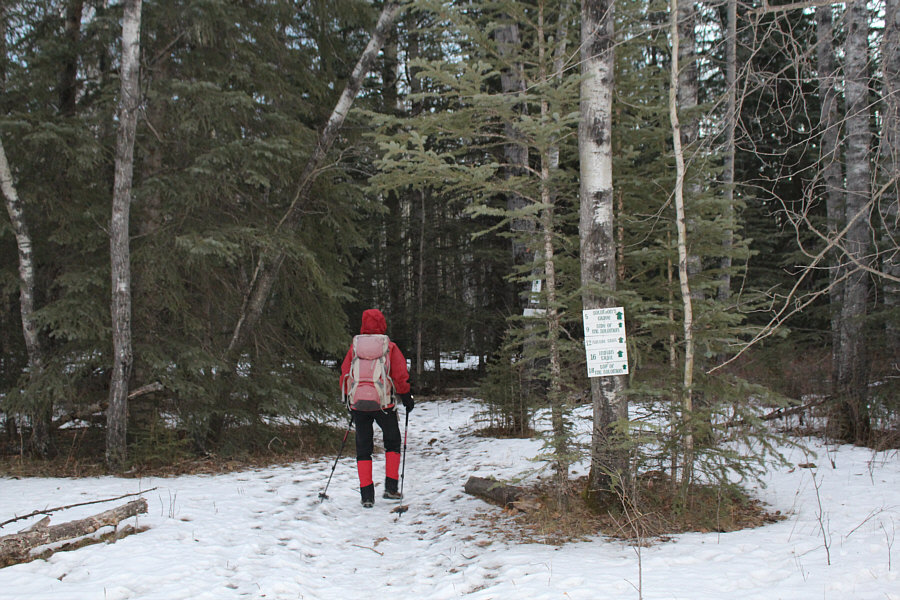
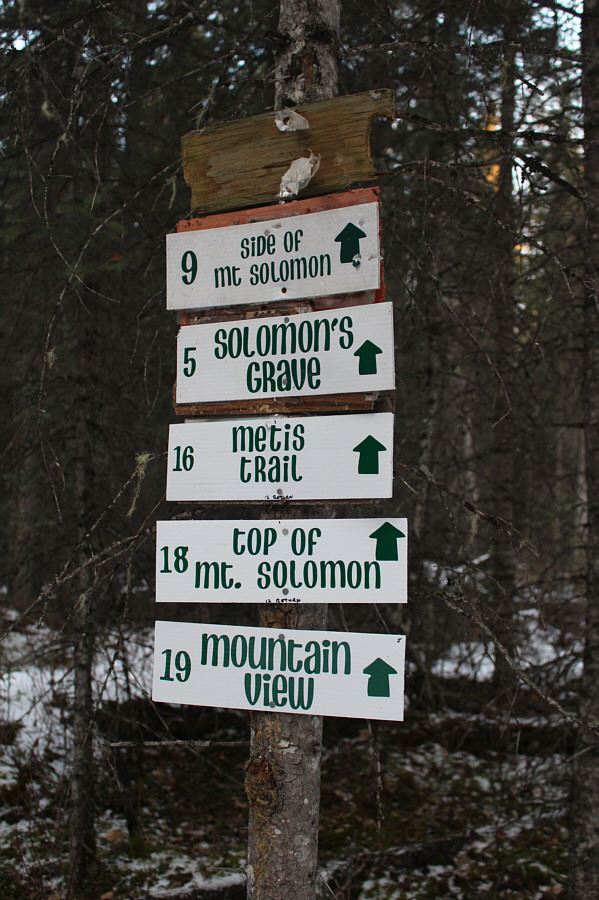
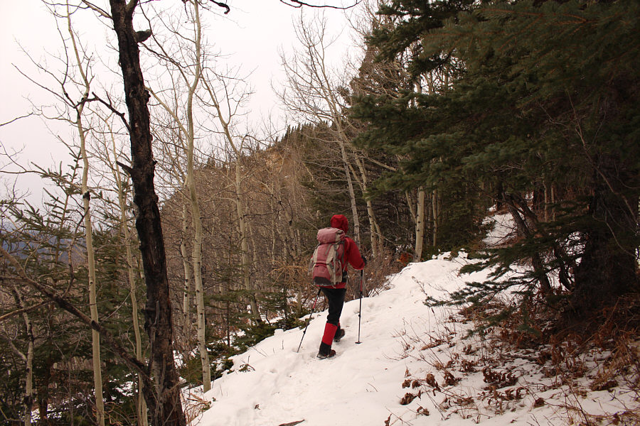
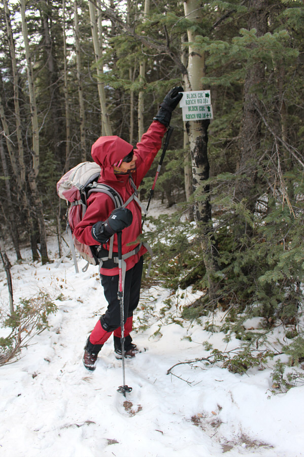
From the trailhead, Zosia and I followed
signs for trail number 18 labelled "top of mt. solomon". The trail
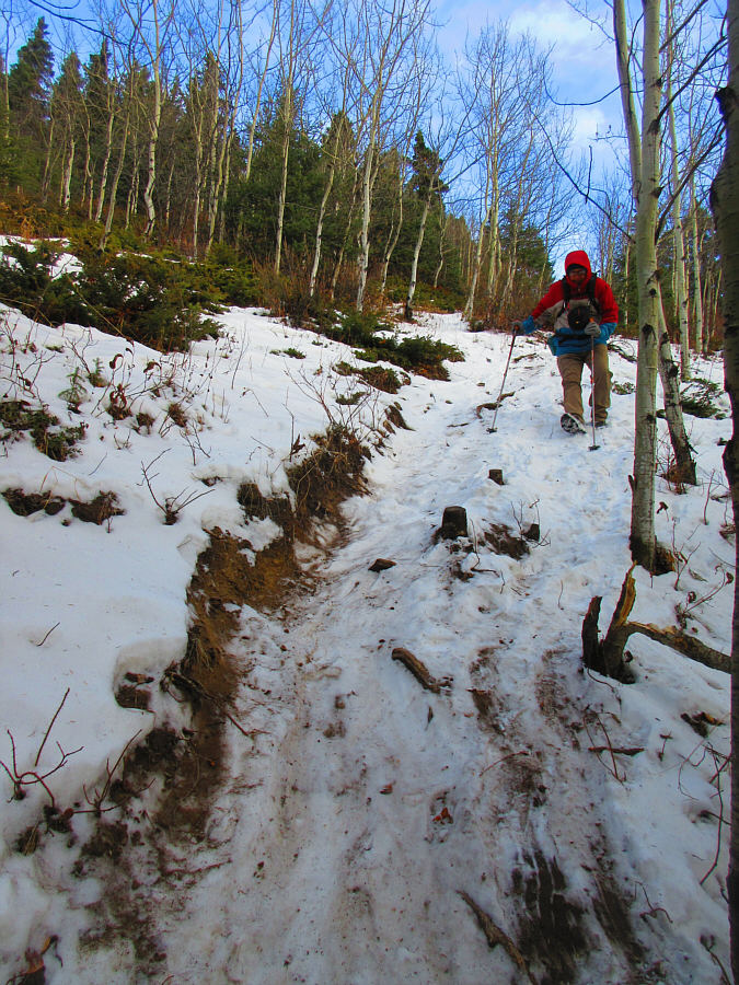
is pretty flat for the first few kilometres, and at times, it felt like
we were going more downhill than uphill. Almost three kilometres
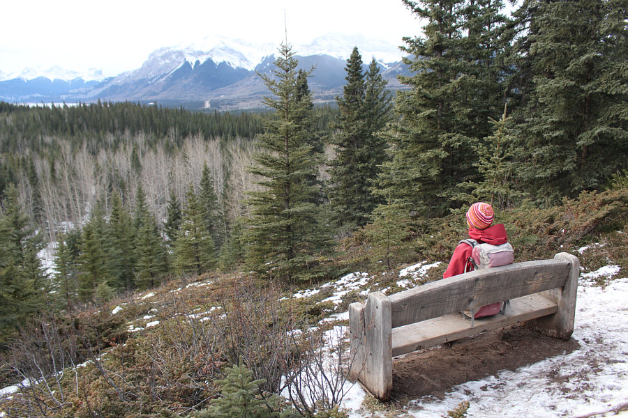
from the trailhead, we reached a junction at a viewpoint with a bench,
and from here, we finally began to climb in earnest up the mountain's
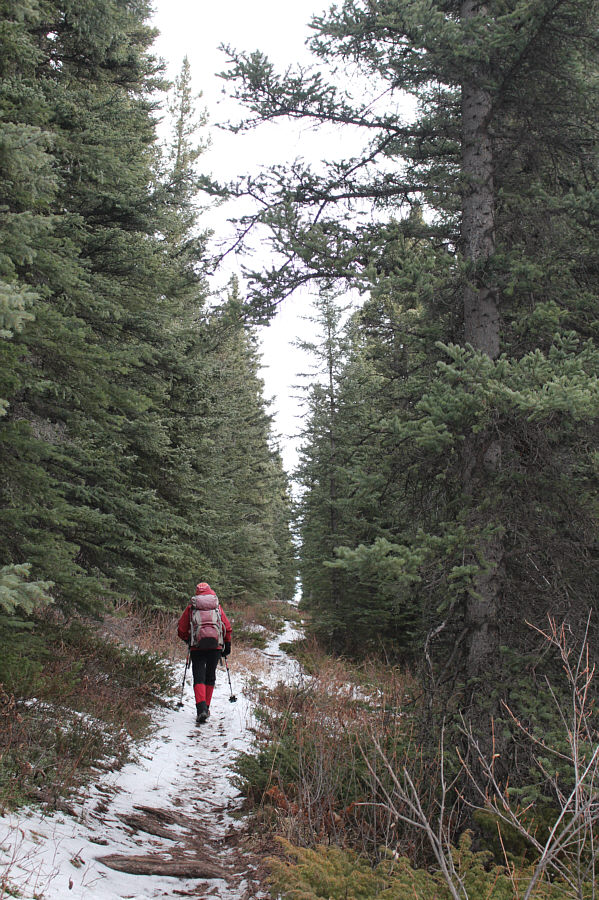
southeast ridge. Although the trail was covered with snow in some
places, travel was easy, and we had no serious issues hiking up to the
summit. The wind was howling on this day, and while we were mostly
sheltered by trees on the way up, we felt the full brunt of the wind on
the semi-open summit. As such, we lingered only long enough to snap
our requisite photos and sign the summit register.
On our way down, Zosia and I opted to
take a shortcut trail which is numbered 18a. Shaving off nearly two
kilometres, this trail takes a more direct line down the mountain, but it
is steeper and can be dangerously icy in some places. Fortunately,
we were able to descend the shortcut trail without any mishaps, and we
eventually regained trail 18 near the valley bottom.
Trail number 5, labelled "solomon's
grave", piqued our curiosity during our hike in, and since we had some
extra time and energy, Zosia and I decided to check it out after
descending from Mount Solomon. Of course, we had no clue as to how
far we had to go to reach the grave site, but the flat trail was easy
enough to walk on. As we would eventually find out, the grave site
is actually located halfway up a forested knoll just northwest of Mount
Solomon, and visiting it added an extra six kilometres of uninspiring
walking to our round-trip distance. The trail itself is rather
mundane and is perhaps best done on a mountain bike or skis. Worst
of all, the grave site is unremarkable and would be easily missed if it
were not for the presence of some plastic flowers and tattered signage.
A partially chewed up sign tacked to a nearby tree provided enough
information for subsequent online research, and I would later learn that
the grave is the final resting place of a native hunting guide named
Solomon Caraconté.
Solomon was apparently killed by a falling tree branch while riding on
horseback in the area some time in the mid-1930s, and the mountain and
nearby creek are named in his honour. Unimpressed by the grave
site, Zosia and I climbed to the top of the knoll hoping to find
something more interesting like a spirit house or a scenic viewpoint, but
there is nothing but scrubby trees up there. Disappointed, we
simply turned around and trudged back the way we came.
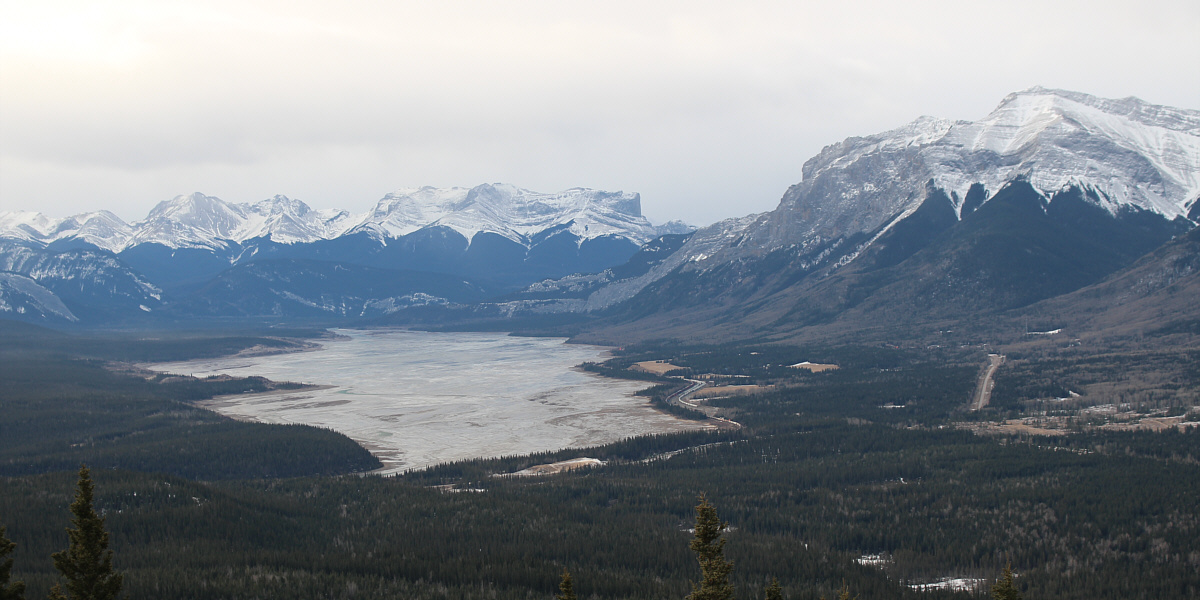
A break in the trees grants this view of Brule Lake and
distinctive Roche
Miette (centre).
 |
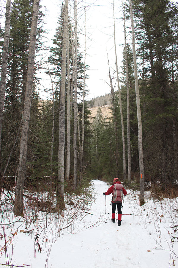
The top of the mountain is barely visible through the trees. |
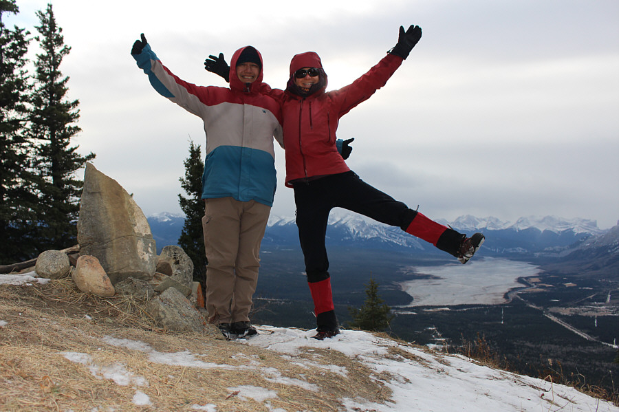 |
Sonny and Zosia reach the summit of Mount Solomon (1590 metres). |
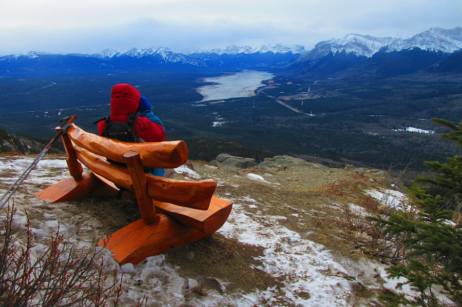 |
Sonny enjoys the views from a bench just below the summit.
Photo courtesy of Zosia Zgolak |
 |
Zosia decides to take a shortcut trail (18a) to descend the mountain. |
 |
The shortcut trail is quite steep in a few places.
Photo courtesy of Zosia Zgolak |
 |
The walk to find Solomon's Grave is long and boring. |
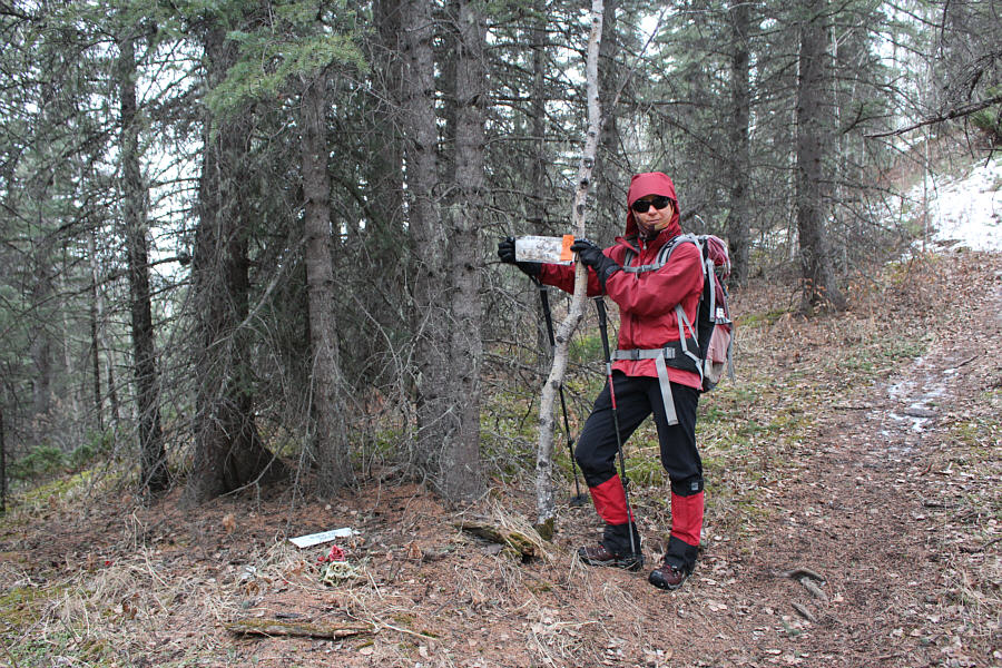 |
Some plastic flowers and tattered signs mark Solomon's Grave. |
 |
Total
Distance: 17.6 kilometres
Round-Trip Time: 6 hours 25 minutes
Cumulative
Elevation Gain: 696 metres
GPX Data |