


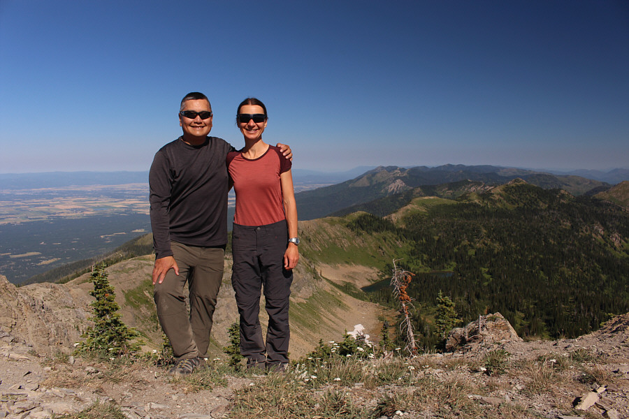
Sonny and Zosia stand near the summit of Mount Aeneas (2289 metres).
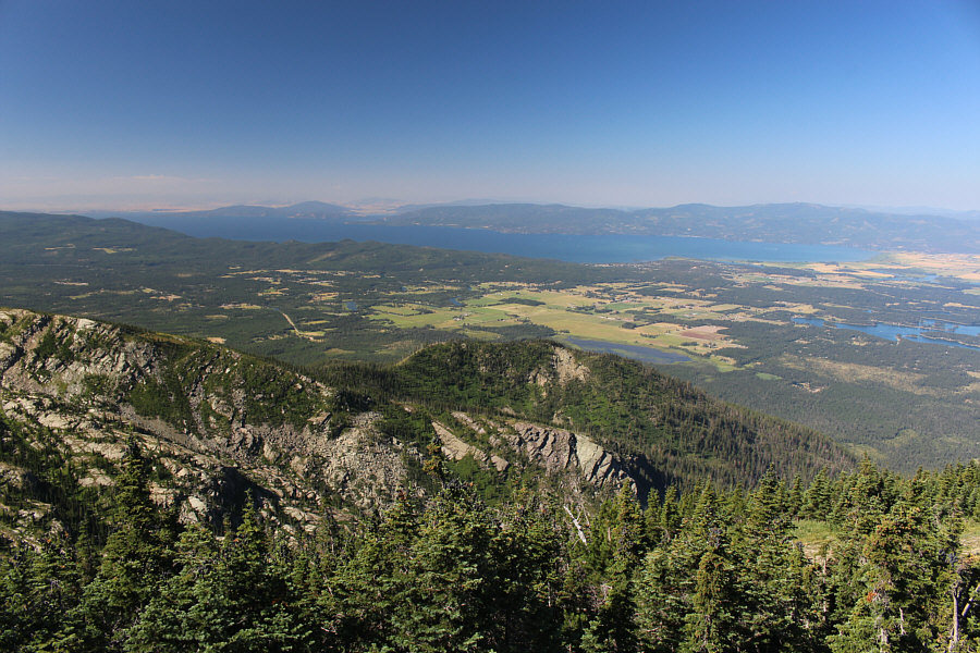
Here is another view of Flathead Lake from the summit of Mount Aeneas.


|
|
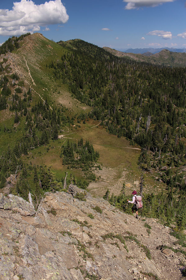
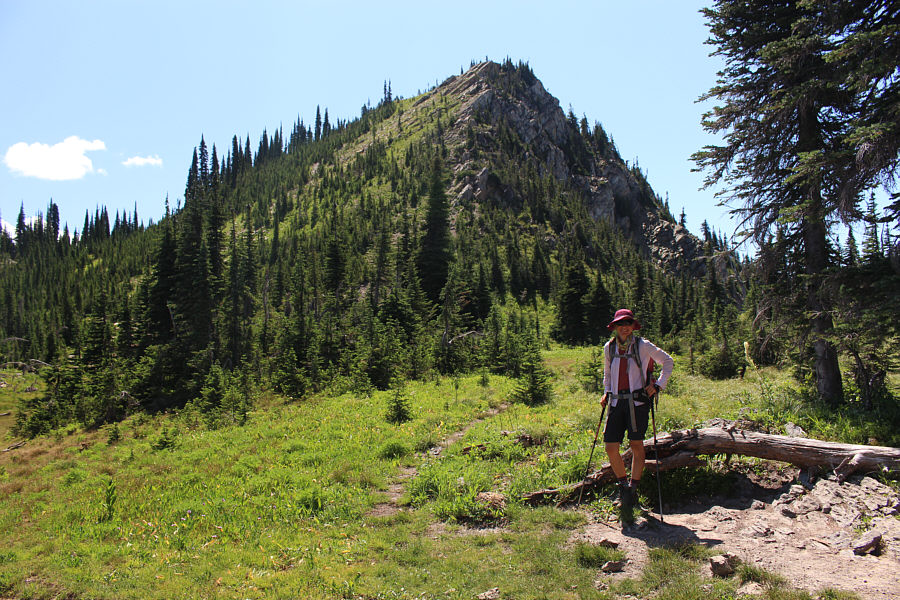
Zosia begins hiking on a wide and well-maintained trail. |
|
|
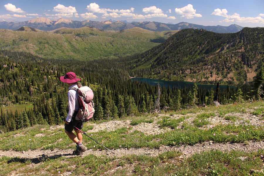
There are already nice views to the southwest of Flathead Lake and numerous smaller lakes. |
|
|
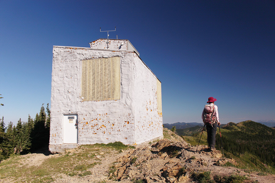
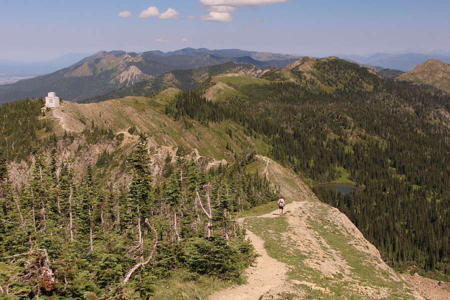
An enigmatic building sits on the ridge crest northwest of Mount Aeneas. |
|
|
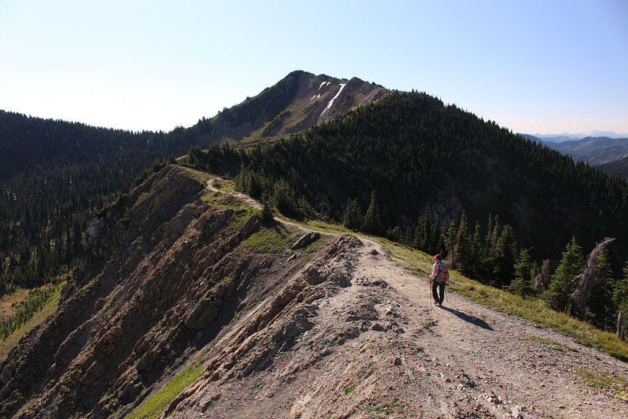
The trail continues southeast toward to the top of Mount Aeneas. |
|
|
Zosia spots a goat near where the trail enters the trees. |
|
|
Sonny and Zosia stand near the summit of Mount Aeneas (2289 metres). |
|
|
Here is another view of Flathead Lake from the summit of Mount Aeneas. |
|
|
The enigmatic building is visible on the ridge to the northwest. |
|
|
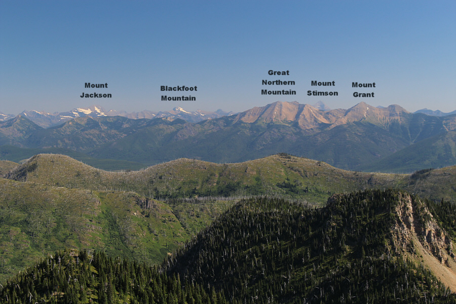
Some prominent mountains are visible to the northeast including a few in Glacier National Park. |
|
|
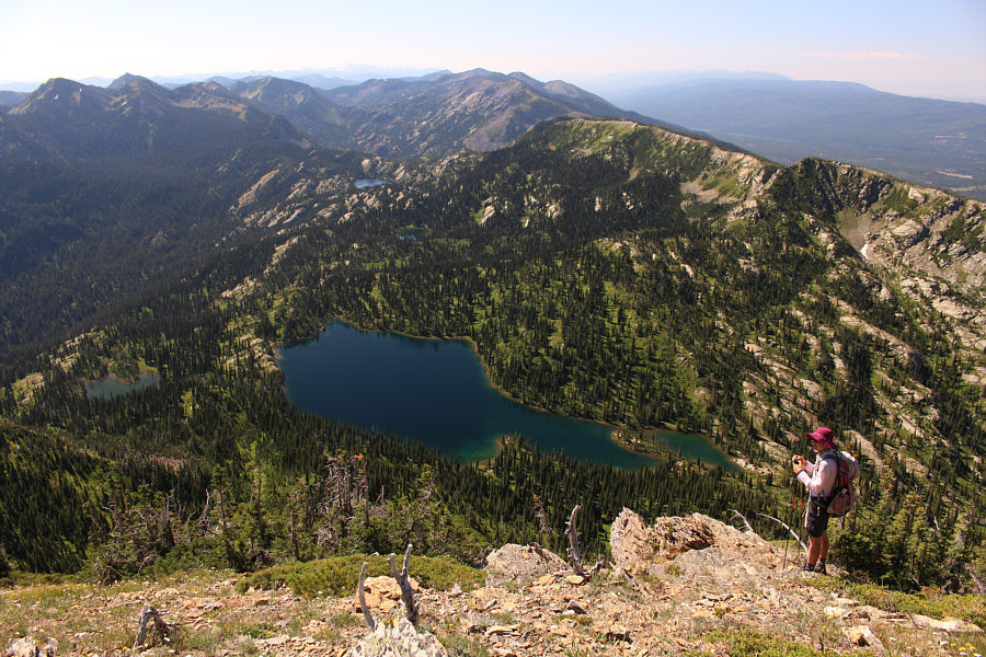
Birch Lake steals the show just south of the summit. |
|
|
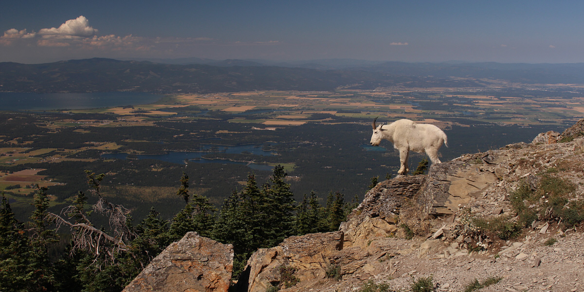
One of the resident goats on Mount Aeneas casually strolls by. |
|
|
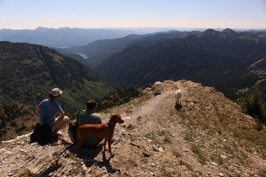
The goats here show little fear of humans or dogs. |
This goat seems to be posing on purpose for all the summit tourists.
 |
Zosia makes her way back along the ridge. |
 |
Instead of backtracking on the initial trail, Zosia continues along the ridge crest past the building. |
 |
These are the Picnic Lakes as seen from the ridge crest. |
 |
From the ridge crest, much of Black Lake is obscured by trees in the basin. |
 |
Zosia drops steeply into a gap in the ridge in order to intersect the trail visible below. |
 |
Here is a look back up the ridge from the gap. |
 |
Total
Distance: 11.1 kilometres Round-Trip Time: 5 hours 28 minutes Cumulative Elevation Gain: 676 metres |