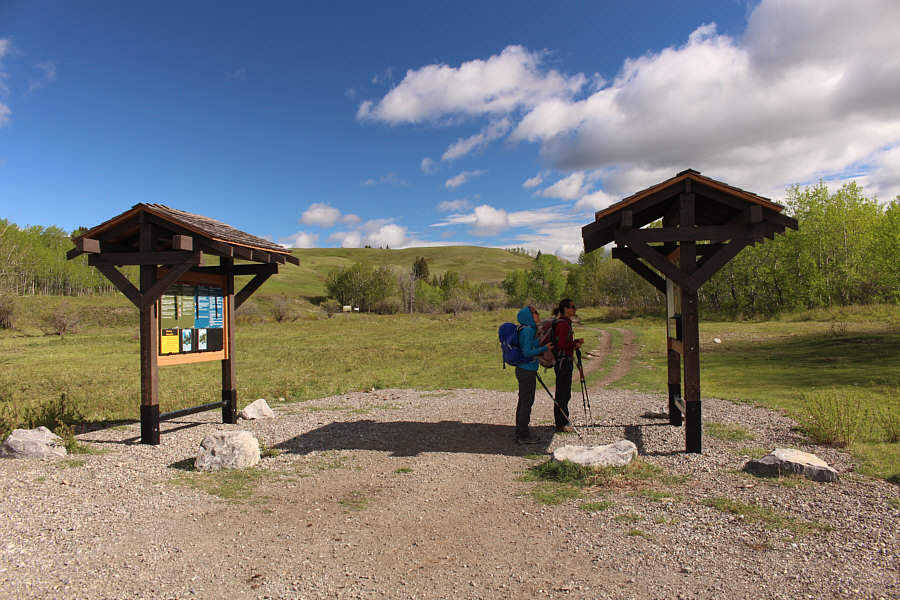
Aga and Zosia check out the information at the trailhead kiosk.
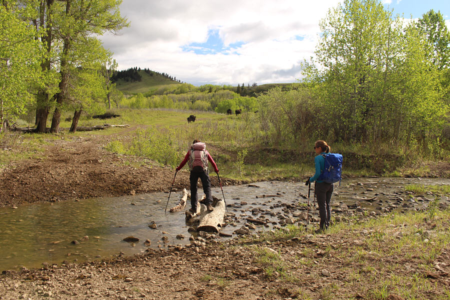
Aga watches as Zosia carefully crosses Bob Creek on some strategically-placed logs.
|
|
Aga and Zosia check out the information at the trailhead kiosk. |
|
|
Aga watches as Zosia carefully crosses Bob Creek on some strategically-placed logs. |

The road continues past the nervous cattle and eventually leads to the south end of Beaverdam Creek Ridge at left.
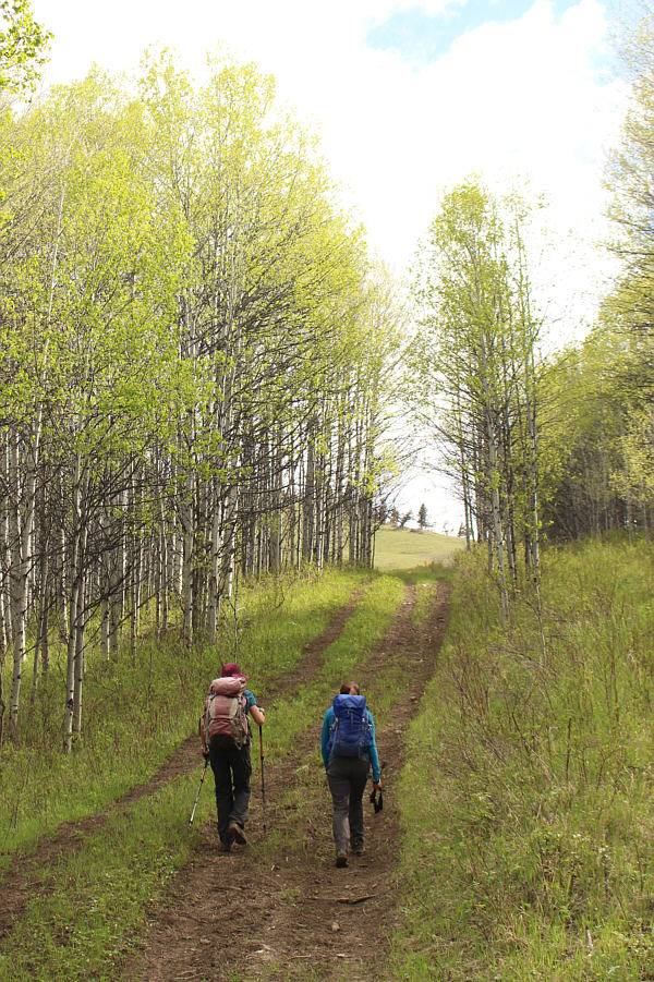 |
This road goes through a gate up ahead and enters a meadow which is the access point for Beaverdam Creek Ridge. |
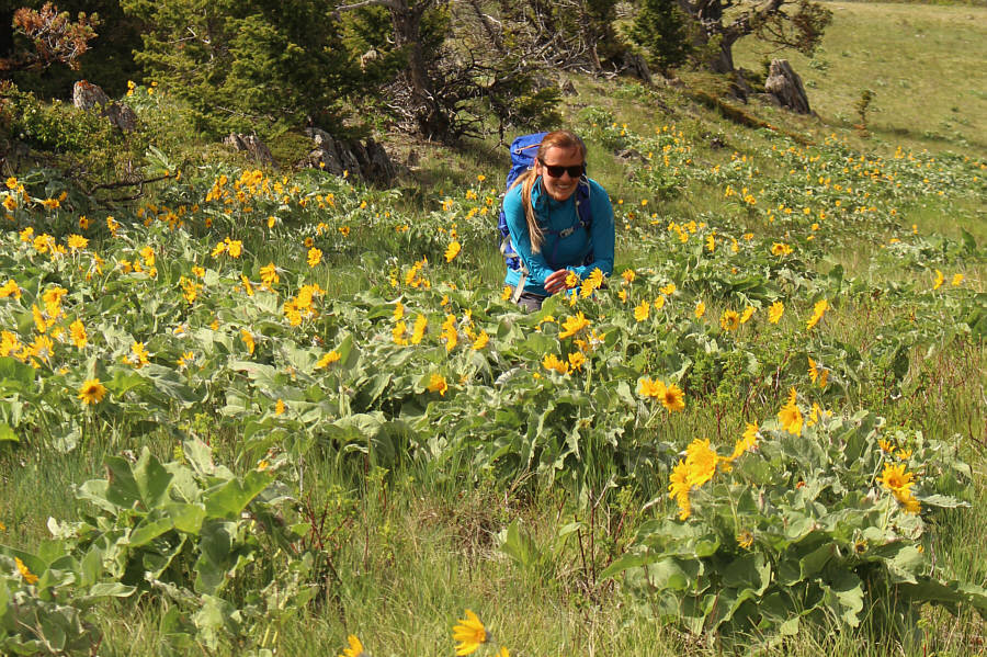 |
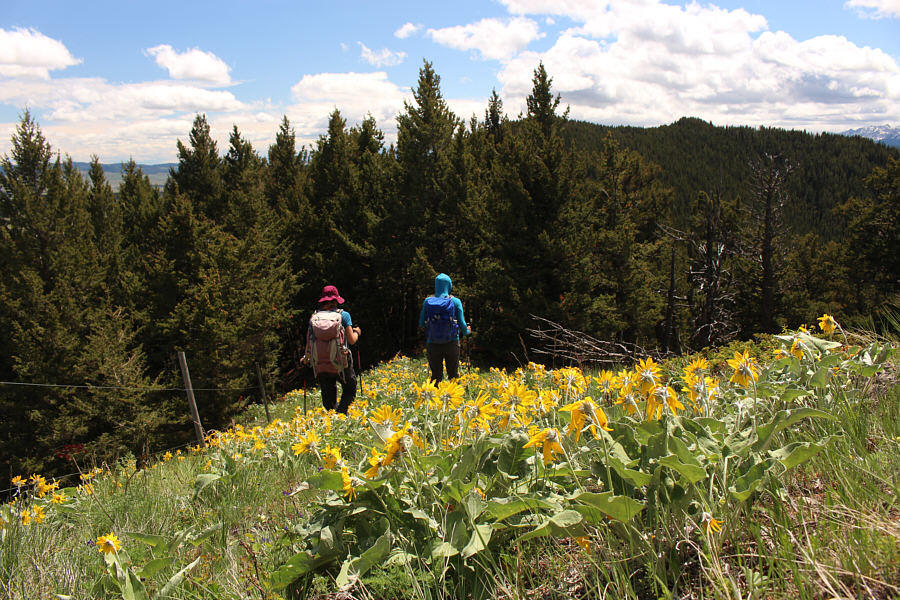
Aga is overwhelmed by the abundance of balsamroot in the area. |
 |
Some of the trees along the ridge attest to the tremendous winds that often blow through this area. |
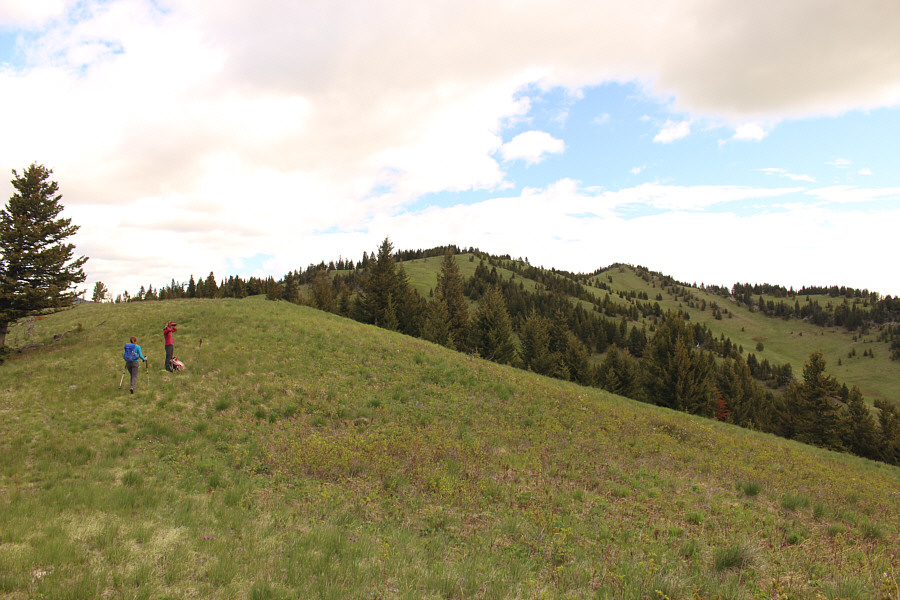 |
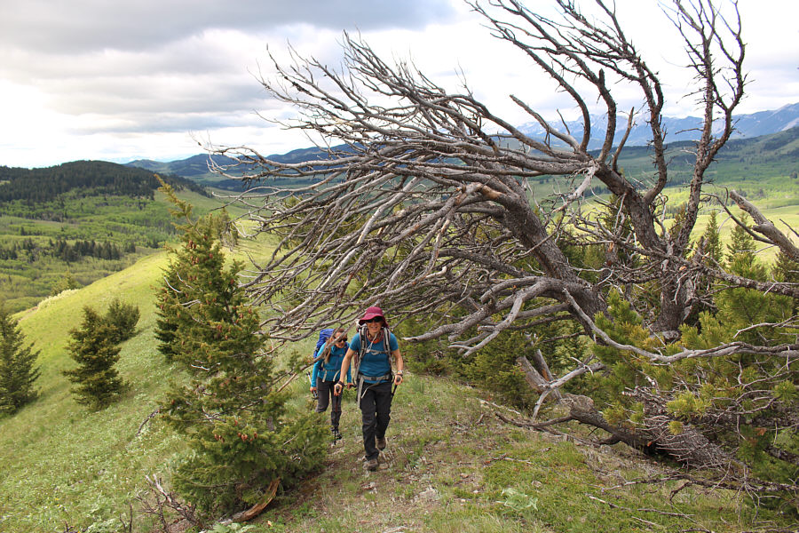
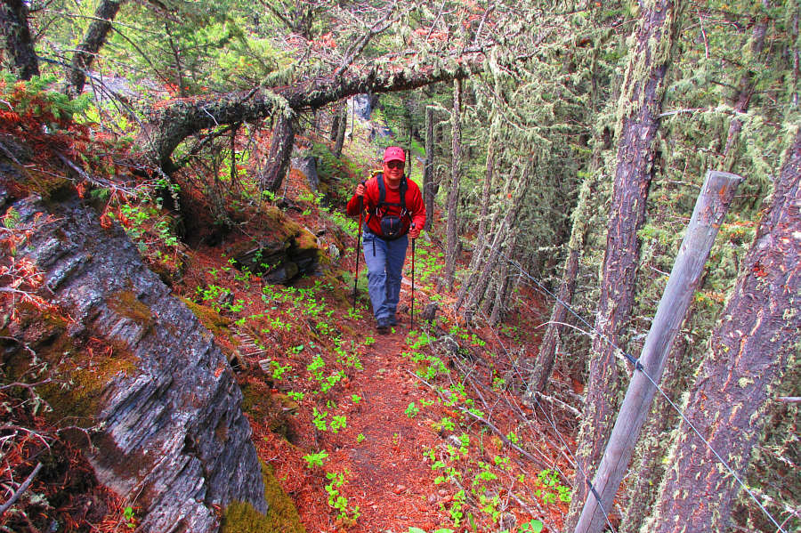
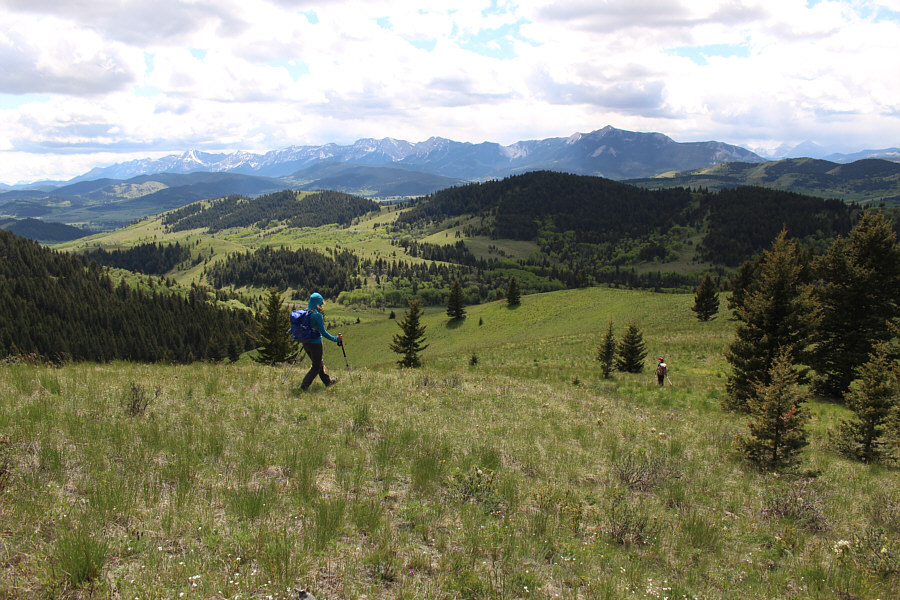
The ascent of Beaverdam Creek Ridge is easy and straightforward. |
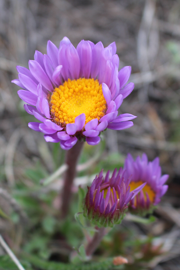 |
Fleabane is common throughout the area. |
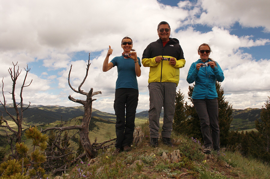 |
Zosia, Sonny and Aga hold up a product (sesame snaps) of Łódź, Poland on the high point of Beaverdam Creek Ridge (1687 metres). |
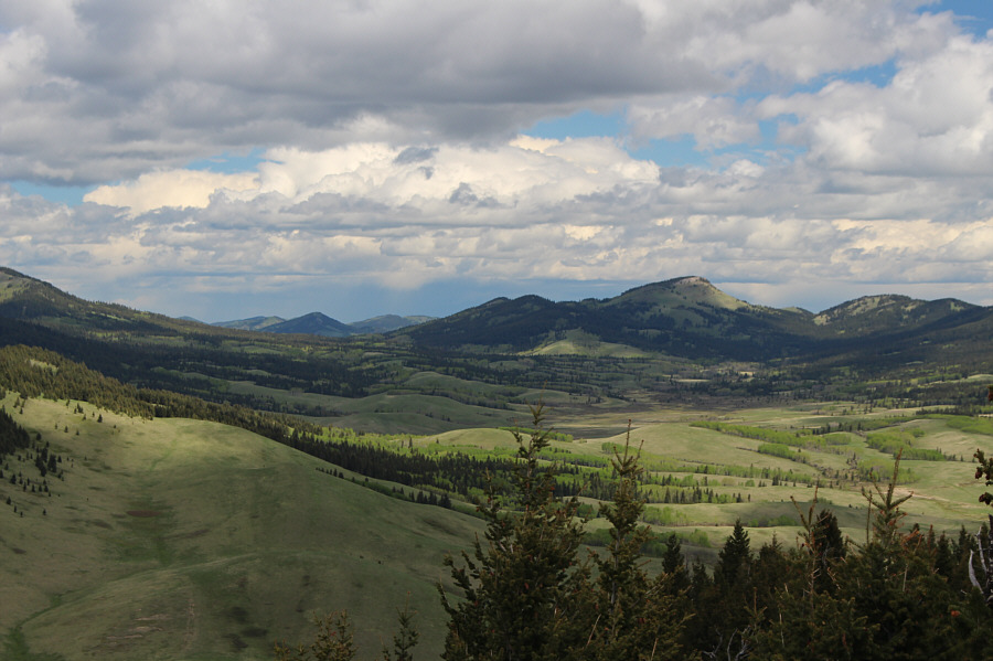 |
The true high point of Whaleback Ridge stands out about eleven kilometres to the north. |
 |
The southern high point of Whaleback Ridge is right at centre in this view to the southeast. It is about 3.4 kilometres distant as the crow flies. |
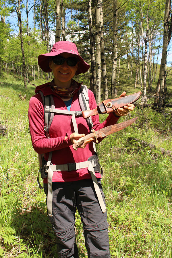 |
Zosia finds a rusty knife and leather sheath while descending Beaverdam Creek Ridge. |

A tiger swallowtail butterfly nestles in the grass.
Photo courtesy of Aga Sokolowska
 |
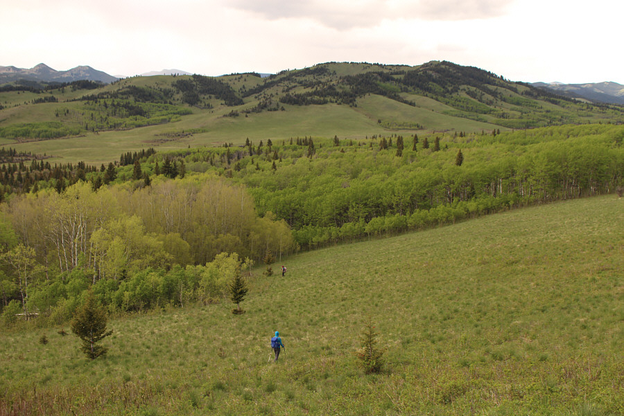
Here is a look back at the eastern slopes of Beaverdam Creek Ridge which Zosia and Aga just descended. |
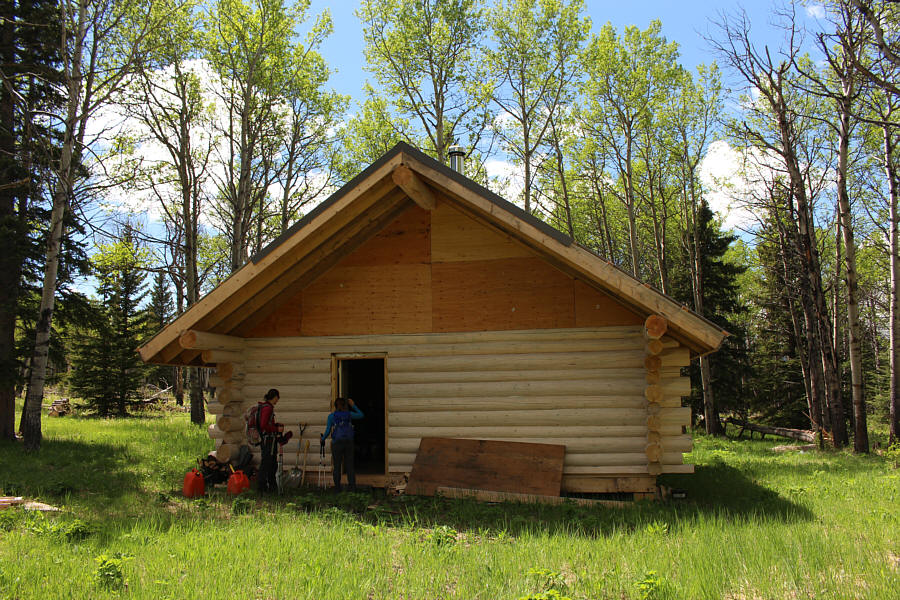 |
Zosia and Aga stumble across a deserted trappers' cabin hidden in the valley. |
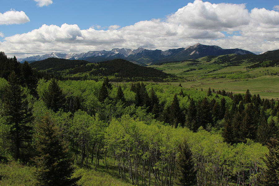 |
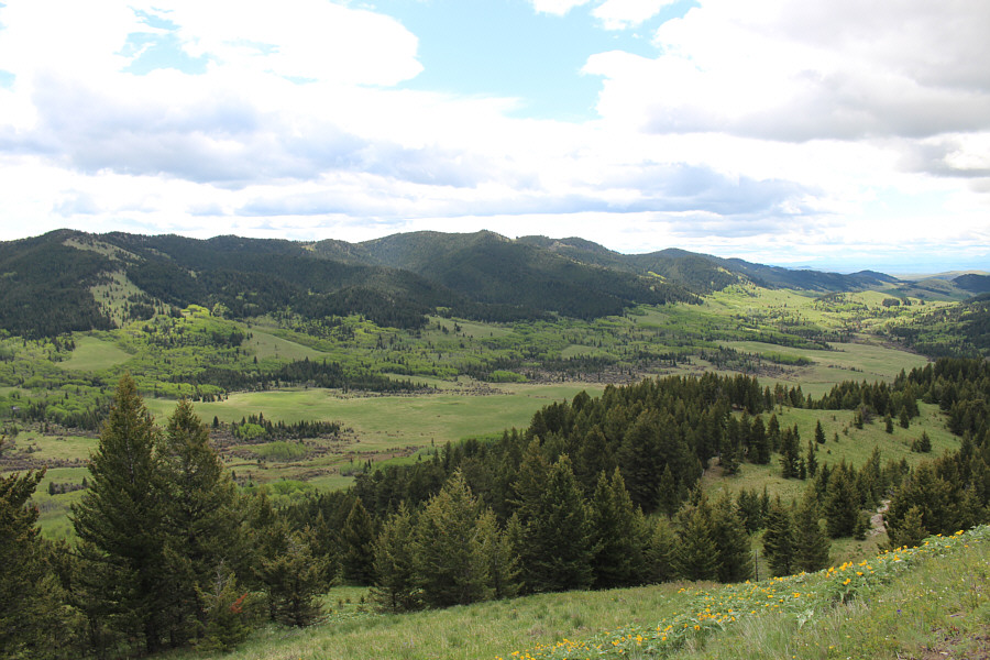
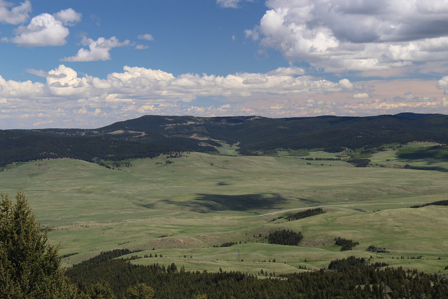
A clearing partway up Whaleback Ridge grants this view to the southwest of the Livingstone Range. The most prominent peak on the right horizon is Thunder Mountain. |
 |
Zosia and Aga hike along the crest of Whaleback Ridge. The southern high point is the forested bump at distant right. |
 |
Sonny follows a wire fence that runs
along the crest of Whaleback Ridge. Photo courtesy of Zosia Zgolak |
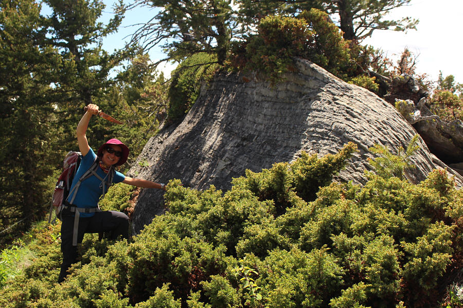 |
This rock outcrop resembles a whale's back. Zosia takes out her newly-discovered knife to stab the "whale" in the "back"! |
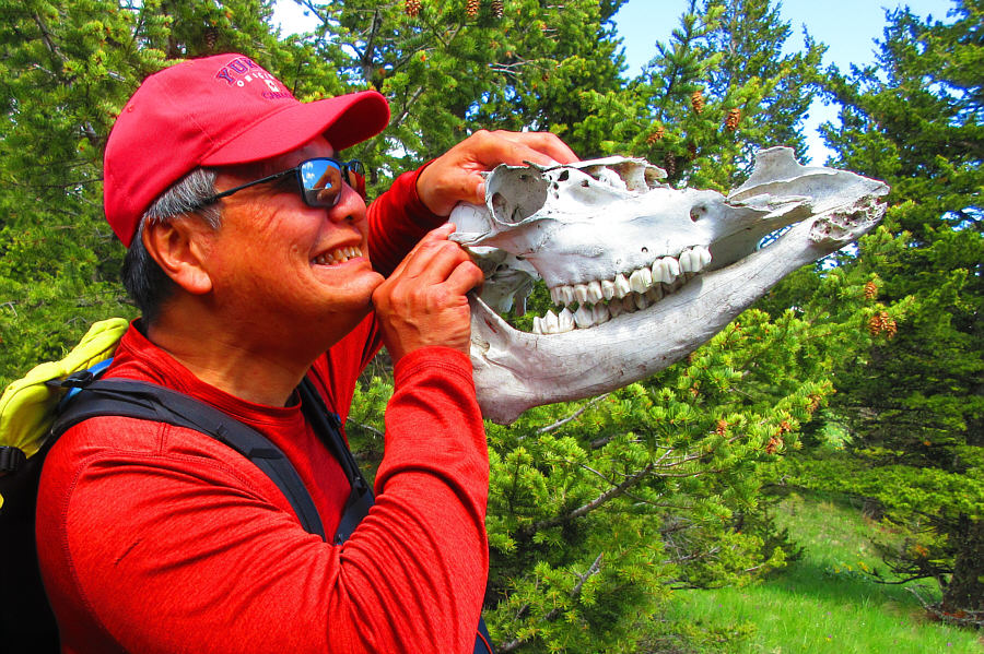 |
Sonny has some fun with a cattle skull
found on the ridge. Photo courtesy of Zosia Zgolak |
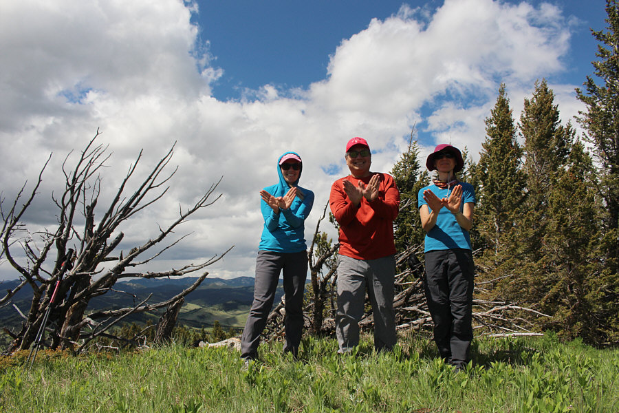 |
Aga, Sonny and Zosia make the shape of a whale's tail on the southern high point of Whaleback Ridge (1791 metres). |
 |
The high point of Porcupine Hills is on the left horizon in this view to the east. |
 |
Aga and Zosia descend grassy slopes to the west of Whaleback Ridge's southern high point. |
 |
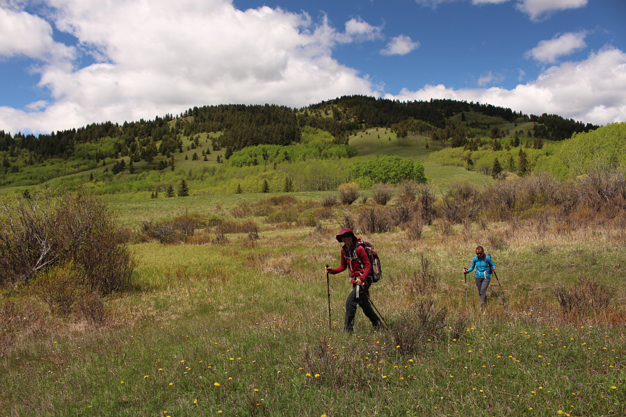
About to plunge into forest, Aga and Zosia aim for the open flats of Beaverdam Creek at far left with its namesake ridge in the background. |
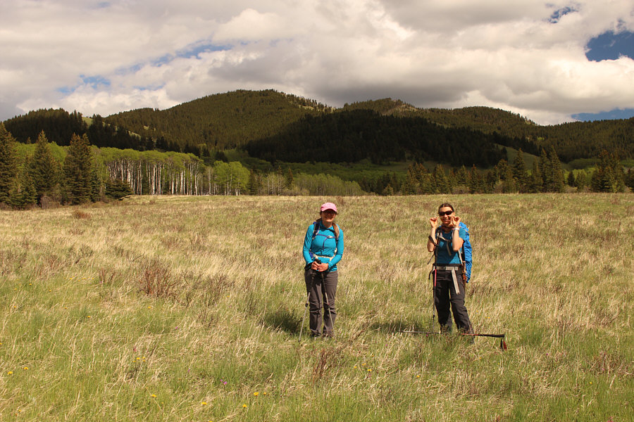 |
Here is a last look at Whaleback Ridge's southern high point (left of centre) from the open flats of Beaverdam Creek. Zosia is also chewing on some wild chives. |
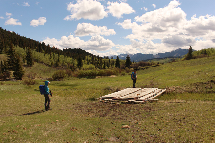 |
At this bridge, Aga and Zosia pick up the same road used for the approach to Beaverdam Creek Ridge. |
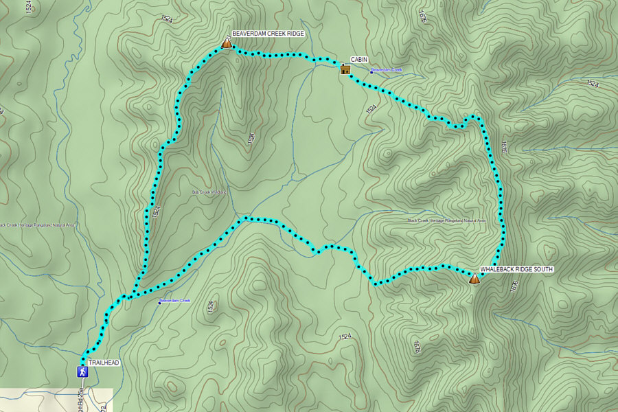 |
Total
Distance: 14.7 kilometres Round-Trip Time: 7 hours 48 minutes Cumulative Elevation Gain: 883 metres |