![]() |
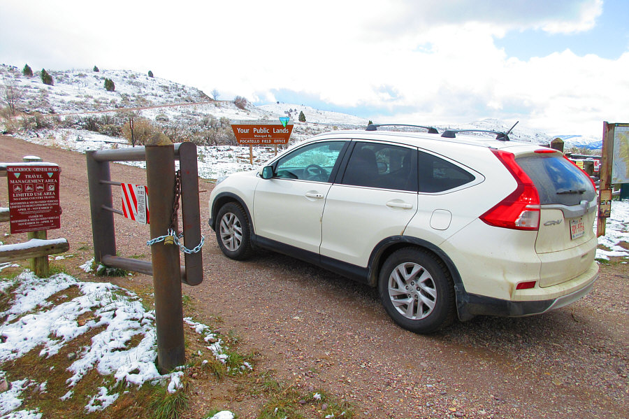
Sonny drives through the seasonal gate along the road that leads to the top of Chinese Peak. Photo courtesy of Zosia Zgolak |
![]() |
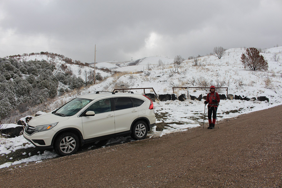
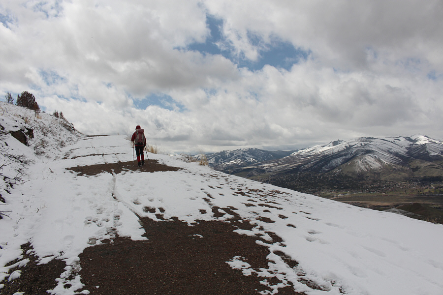
Zosia begins hiking partway up the road. The summit of Chinese Peak is visible in the distance. |
![]() |
Distant views are already evident as Zosia hikes up the road. |
![]() |
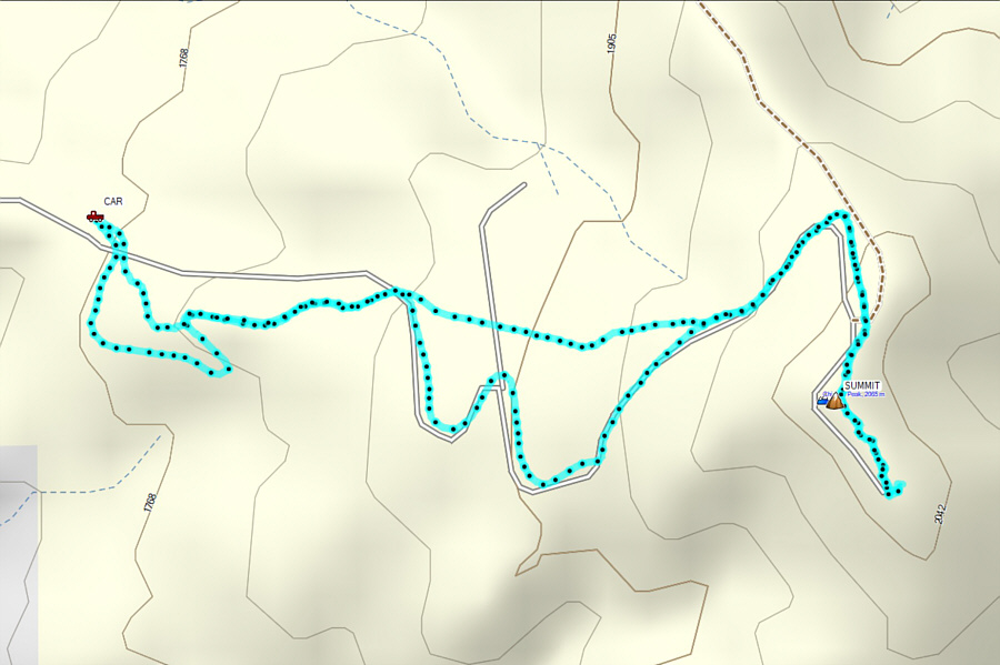
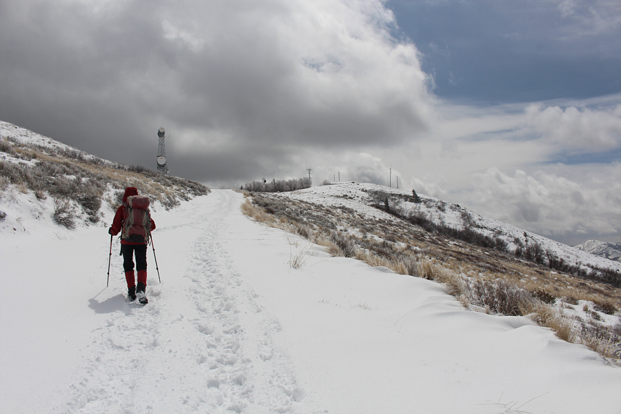
The road makes several long switchbacks as it climbs up Chinese Peak. |
![]() |
Zosia approaches the top of Chinese Peak. |
![]() |
An assortment of telecommunications infrastructure clutters the top of Chinese Peak. |
![]() |
Sonny and Zosia cover their eyes with oriental crackers on the summit of Chinese Peak (2074 metres). |
![]() |
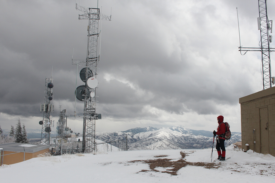
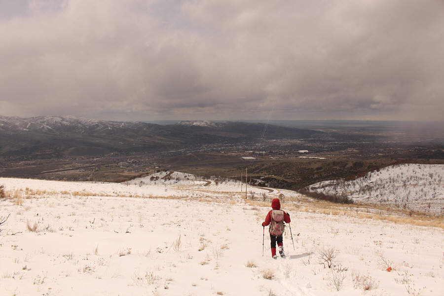
Zosia wanders along the top of Chinese Peak with the city of Pocatello visible at left. |
The Snake River Plain is visible to the northwest as Zosia descends from the summit.
![]() |
Eschewing the winding road, Zosia drops down the open and gentle west slopes of Chinese Peak. |
![]() |
Total
Distance: 5.1 kilometres Round-Trip Time: 1 hour 56 minutes Net Elevation Gain: 318 metres |