![]() |
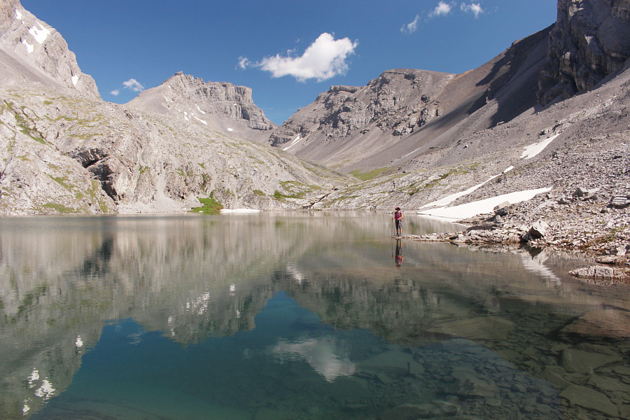
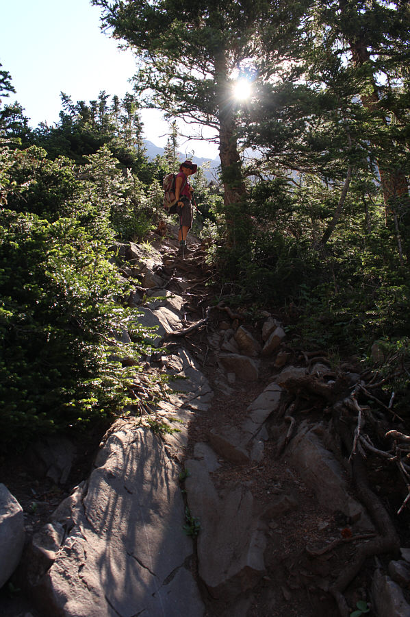
Maps at trail junctions help to point Zosia in the right direction. |
![]() |
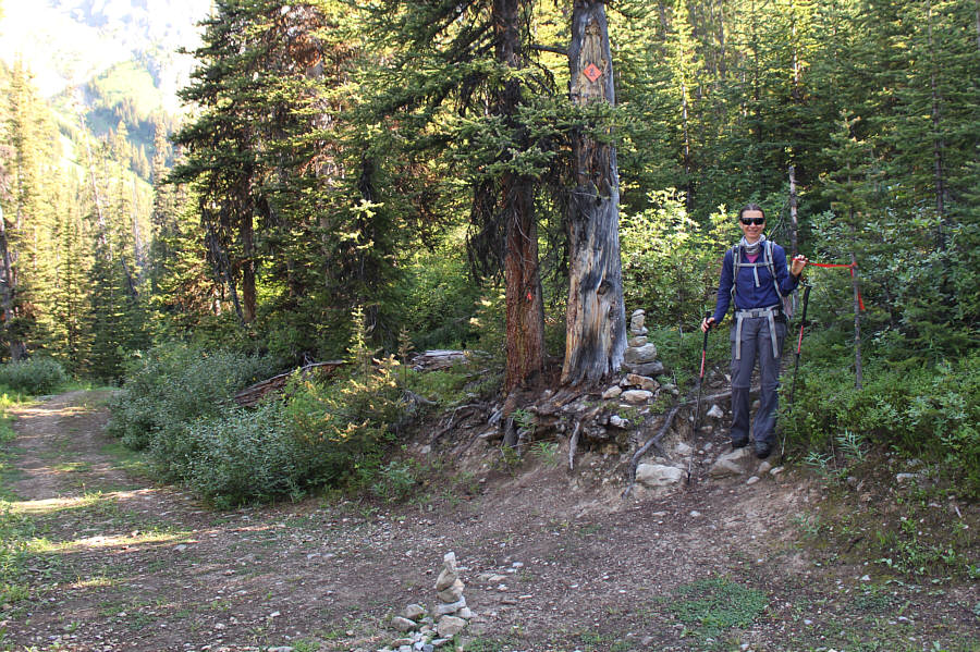
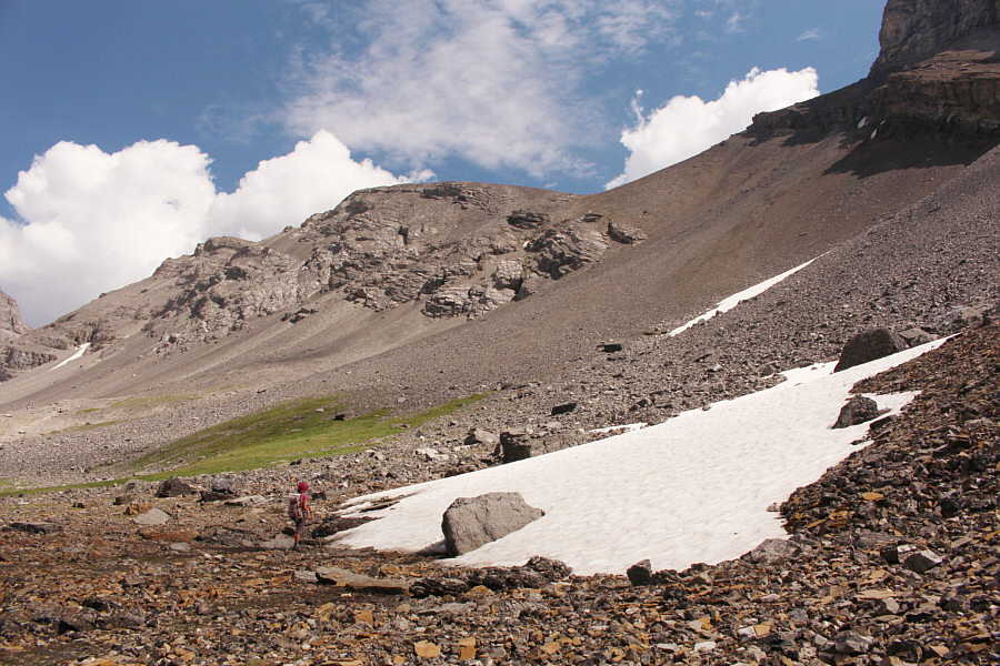
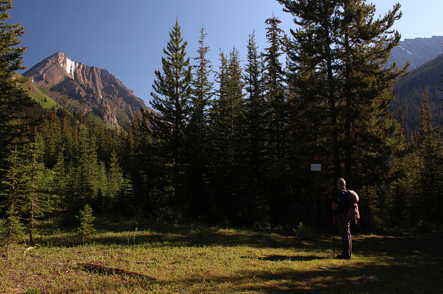
The turnoff to Headwall Lakes is marked with some flagging and a couple of cairns. |
![]() |
Some sections of the trail to Headwall Lakes are steep and rocky. |
![]() |
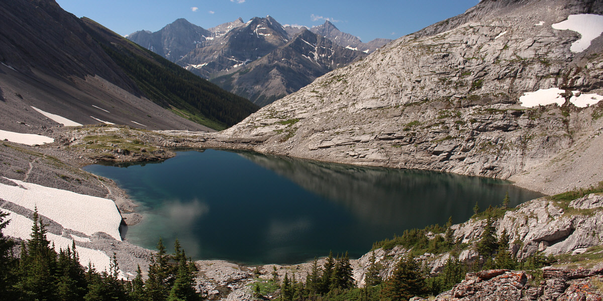
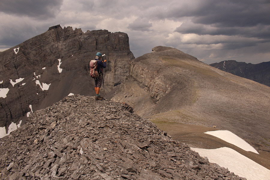
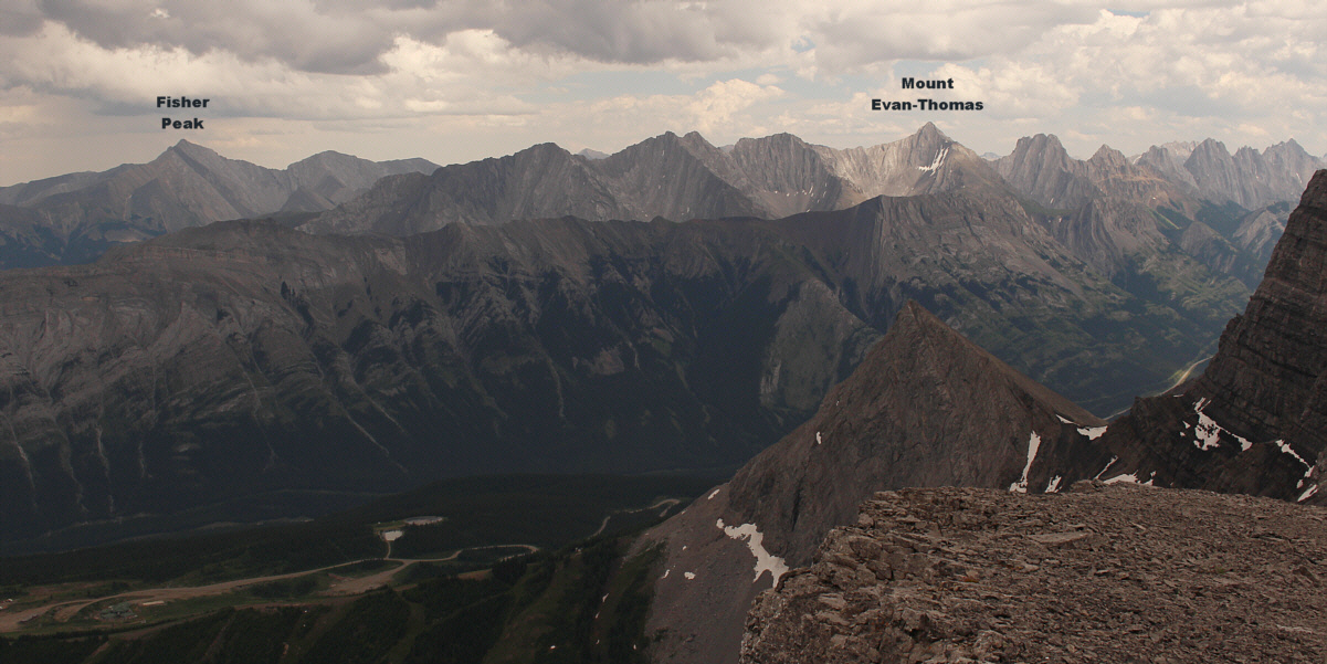
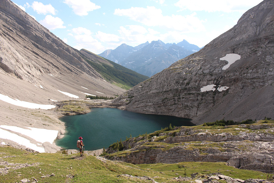
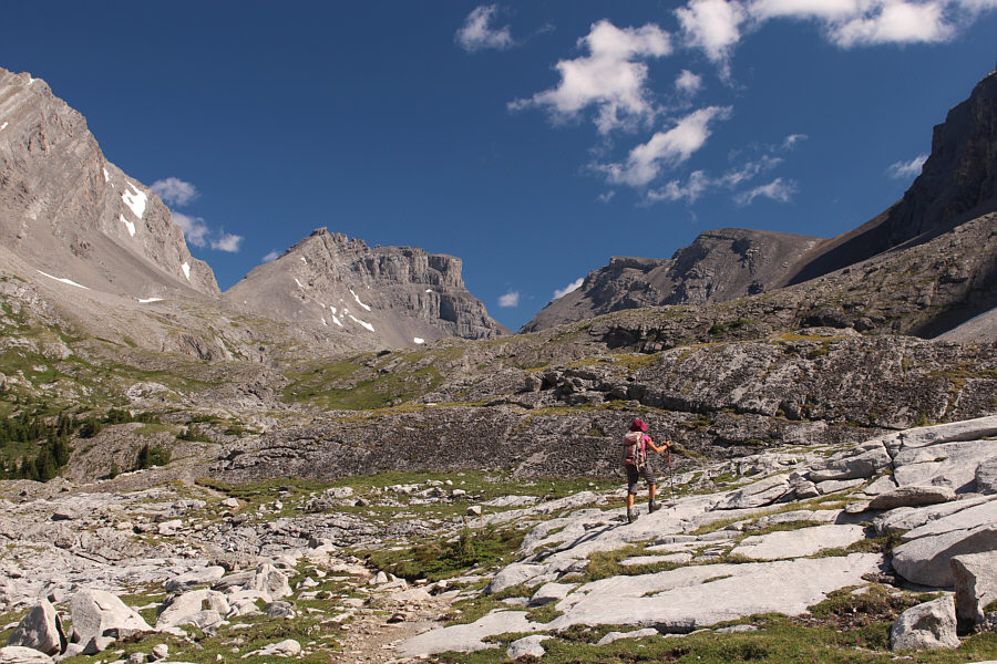
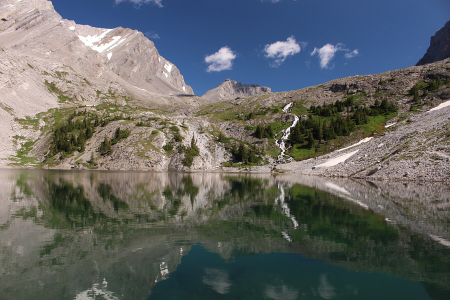
Zosia gets her first glimpse of Fortress Southern Outlier (leftmost bump at centre). |
![]() |
The Fortress comes into view at left. |
![]() |
This is the lower of the two Headwall Lakes. |
![]() |
Zosia prepares to cross a lingering snow patch and climb up the right side of the waterfall. |
![]() |
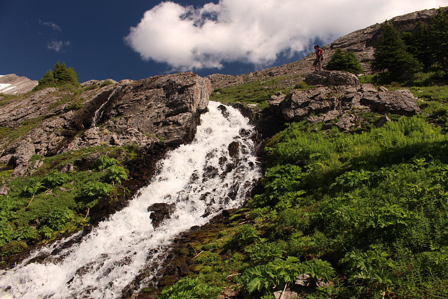
Instead of spilling over the edge of a cliff, this waterfall emanates from a hole higher up the headwall. |
Here is a more complete view of the lower lake from the headwall guarding the upper lake.
Here is a first look at the upper lake with The Fortress and Fortress Southern Outlier in the background.
![]() |
Zosia is reflected in the upper lake. |
![]() |
The simplest access to Fortress Southern Outlier is via this enormous scree slope. |
![]() |
A couple of bighorn sheep are surprised that hikers would be foolish enough to come up here. |
![]() |
This spider appears to be carrying an egg sac as it scrambles among
the rocks. Photo courtesy of Zosia Zgolak |
![]() |
A scrambler who had a heart attack on top of Mount Galatea is slung
out of the area by a helicopter. Photo courtesy of Zosia Zgolak |
![]() |
A lone goat is surprised
that hikers would be foolish enough to come up here. Photo courtesy of Zosia Zgolak |
![]() |
Zosia snaps some photos of the goat (bottom right) as it makes a quick exit from the area. The summit of The Fortress is visible at left while the high point of Fortress Southern Outlier is just ahead (right of centre). |
![]() |
Sonny and Zosia reach the high point of Fortress Southern Outlier (2837 metres). |
![]() |
Both of the Headwall Lakes are visible to the southwest. At centre is Mount Chester. |
![]() |
Not surprisingly, The Fortress dominates the view to the north. |
The highest point of the Fisher Range is visible to the east while the many peaks of the Opal Range stretch far away to the southeast.
![]() |
Zosia descends the scree slope back to the valley. |
![]() |
Zosia returns to the upper lake. |
![]() |
Here is a final look at the lower lake on the hike out. |
![]() |
Leaving the Headwall Lakes behind, Zosia begins a long walk out the valley. |
![]() |
Total
Distance: 21.2 kilometres Round-Trip Time: 11 hours 34 minutes Cumulative Elevation Gain: 1235 metres |